Gravel Parcours: Exploring the Countryside
A gravel cycling route starting from Rouhling
Embark on a gravel adventure through the beautiful countryside near Rouhling.
Map

This scenic gravel route takes you through the stunning countryside surrounding Rouhling. Explore the quiet and peaceful landscapes as you enjoy the perfect mix of challenging climbs and fast descents. Suitable for experienced off-road riders, this route offers a thrilling off-the-beaten-path experience.
gravel
53 km
735 m
Tough
Route profile
Highlights on the route
0 km
0 km
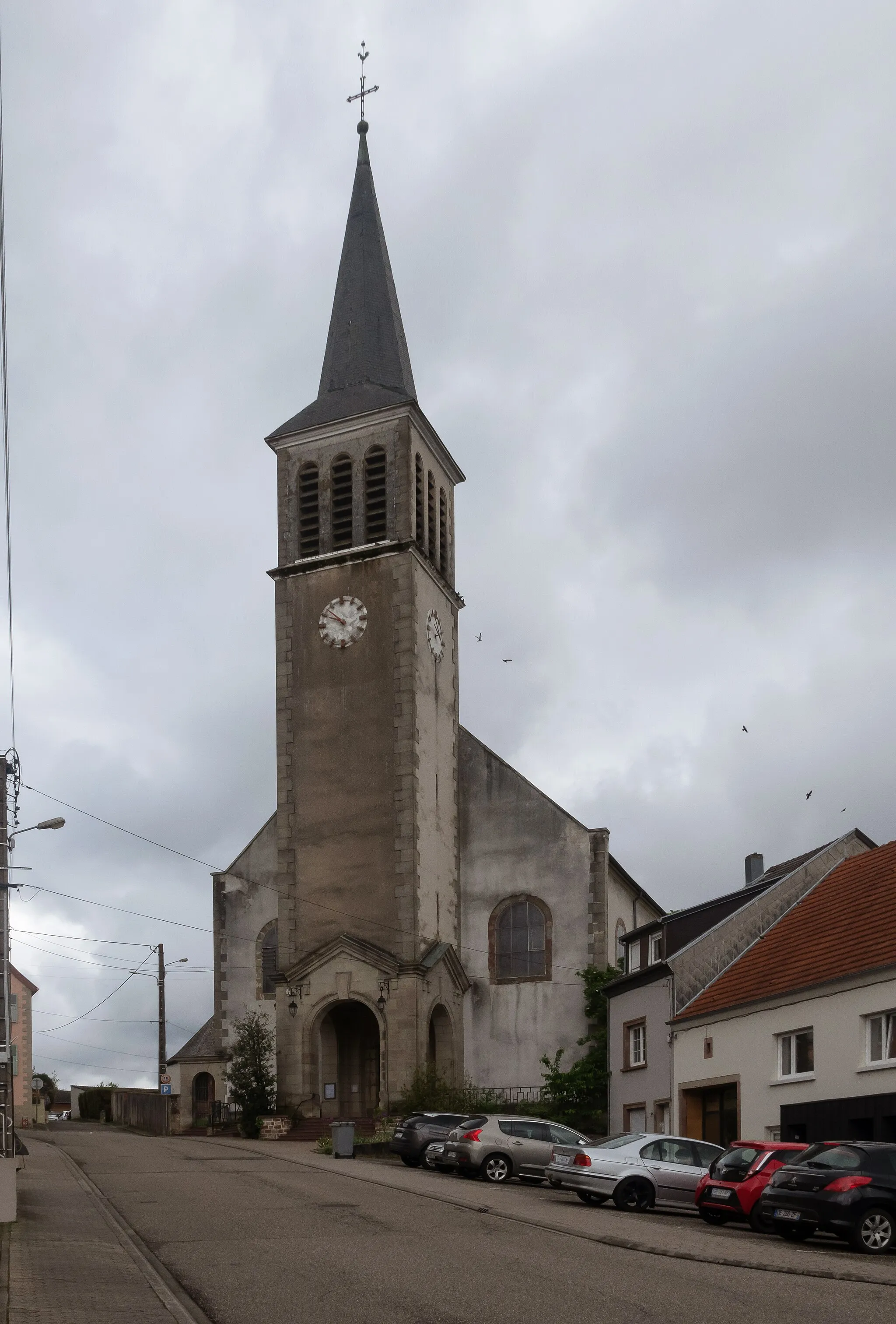
Start: Rouhling Village centerRouhling: Hidden cycling paradise surrounded by nature
Rouhling is a picturesque village situated in the Lorraine region of France. This locality offers a variety of road and gravel cycling routes with stunning views of the surrounding countryside. The roads are generally in good condition, making for smooth and enjoyable rides. One notable climb in the area is the Col des Antony, a challenging ascent that attracts cyclists from far and wide. Rouhling is a hidden gem for cyclists seeking tranquility and natural beauty.2 km
2 km
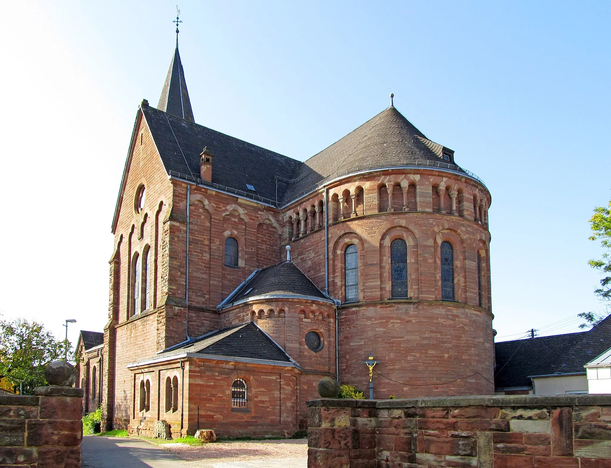
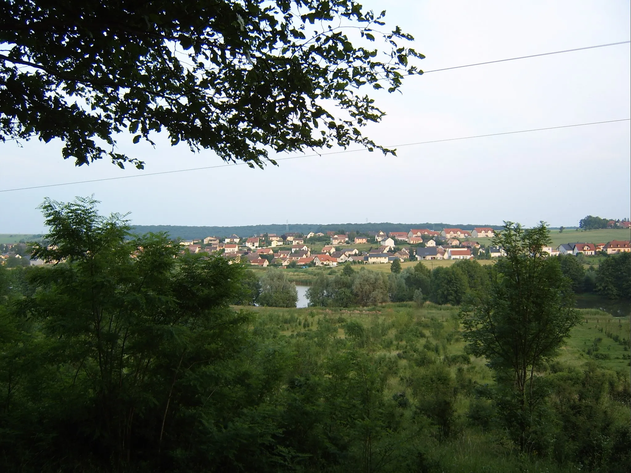
Lixing-lès-RouhlingVillagePass through the charming village of Lixing-lès-Rouhling and marvel at its traditional architecture and peaceful atmosphere.
6 km
6 km
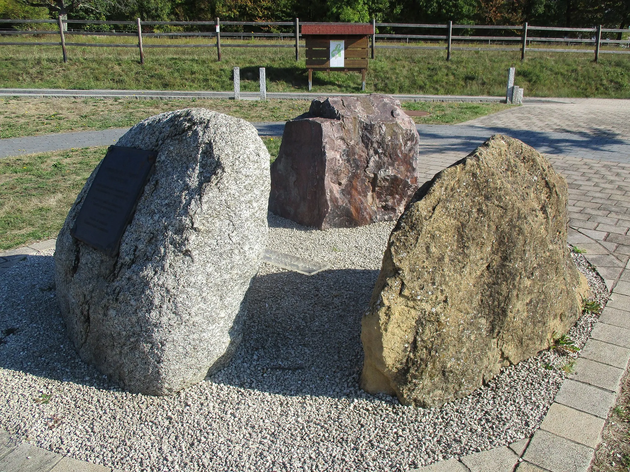
Pfaffenberg357 mPeakStop and explore Pfaffenberg, a historic location with remnants of an ancient fortress and captivating views.
14 km
14 km
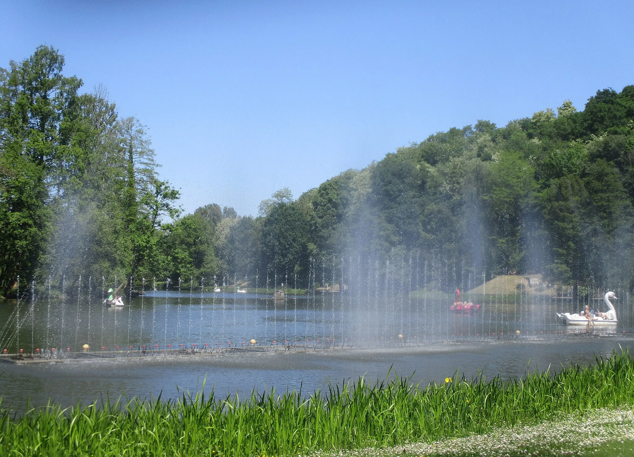
WasserorgelAttractionMarvel at the mesmerizing Wasserorgel, a unique water feature that creates beautiful melodies with the flow of water.
25 km
25 km
Kasberg378 mPeakVisit Kasberg, a picturesque hill with panoramic views of the rolling hills and lush green landscapes.
38 km
38 km
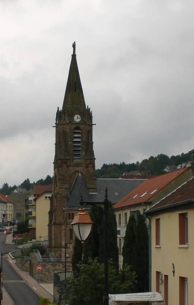
MarktbrunnenAttractionDiscover the historical Marktbrunnen, a well-preserved fountain and a symbol of the local heritage.
40 km
40 km
Winterberg308 mPeakEnjoy the views from Winterberg, a scenic spot known for its charming forests and serene atmosphere.
49 km
49 km
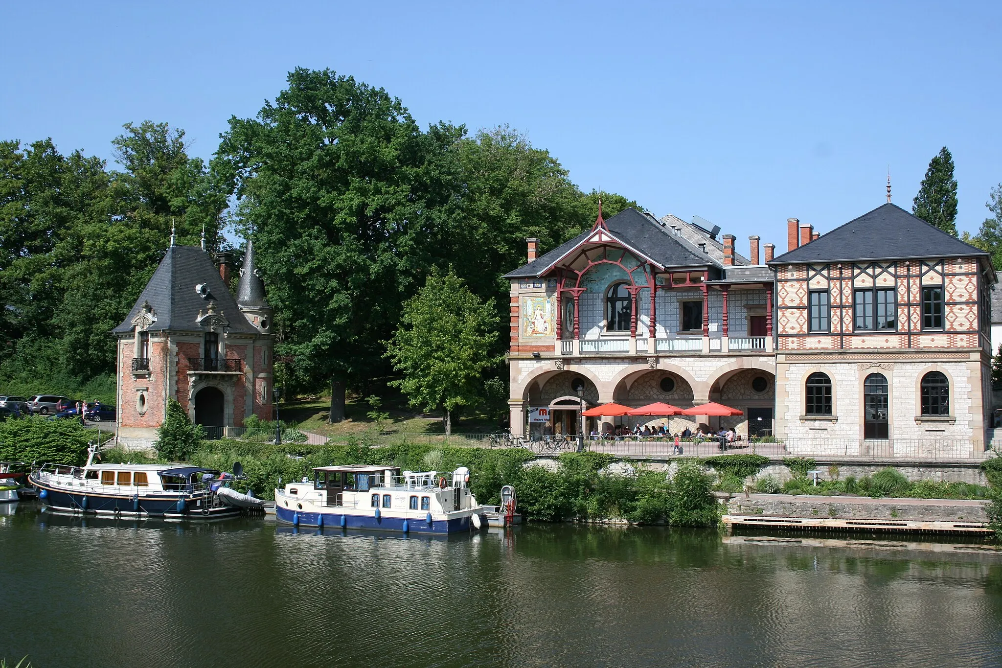
GrosbliederstroffVillageExplore Grosbliederstroff, a quaint village with a rich history and charming streets.
53 km
53 km
Finish: Rouhling Village centerRouhling: Hidden cycling paradise surrounded by nature
Cycling routes from Rouhling:
The Southern Countryside Ride Road Cycling Adventure: Challenging Hills Road Cycling Adventure: Picturesque Routes Rouhling Countryside Loop Rouhling and its Surroundings Cycling the Lorraine Belt Road Gravel Parcours: Exploring the Countryside Gravel Adventure through Lorraine Mines The Gravel Adventure around Rouhling Scenic Cycling Tour of Rouhling Gravel Route through the Hills of Lorraine
Cycling routes nearby: