The Brisk Loop
A road cycling route starting from Woustviller
A thrilling road cycling route near Woustviller
Map
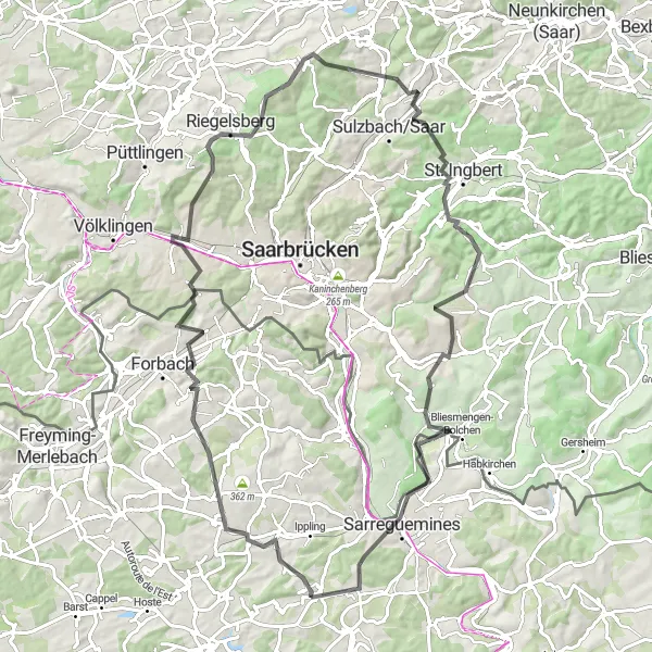
This road cycling route near Woustviller offers a thrilling experience for cyclists. With a total distance of 91 km and an ascent of 1459 m, it is suitable for very well-trained amateurs. The route includes several highlights such as Moulin, Œting, and Schœneck. These picturesque spots provide stunning views of the surrounding landscapes. Cyclists can also enjoy a stop at Quierschied and Eschringen, two charming towns along the way.
road
91 km
1459 m
Tough
Route profile
Highlights on the route
0 km
0 km
Start: Woustviller Village centerWoustviller: Cycling paradise with stunning climbs.
Woustviller is a small town located in the Lorraine region of France. As a road and gravel cyclist, you'll find plenty of scenic routes to explore in the surrounding countryside. The roads are generally well-maintained, making for smooth riding. One notable cycling spot nearby is the Col de la Schleif, a challenging climb that offers stunning views at the top. Overall, Woustviller is a great cycling destination with picturesque landscapes and some exciting climbs.9 km
9 km
MoulinViewpointMoulin is a historic mill located along the route, offering a glimpse into the region's past.
16 km
16 km
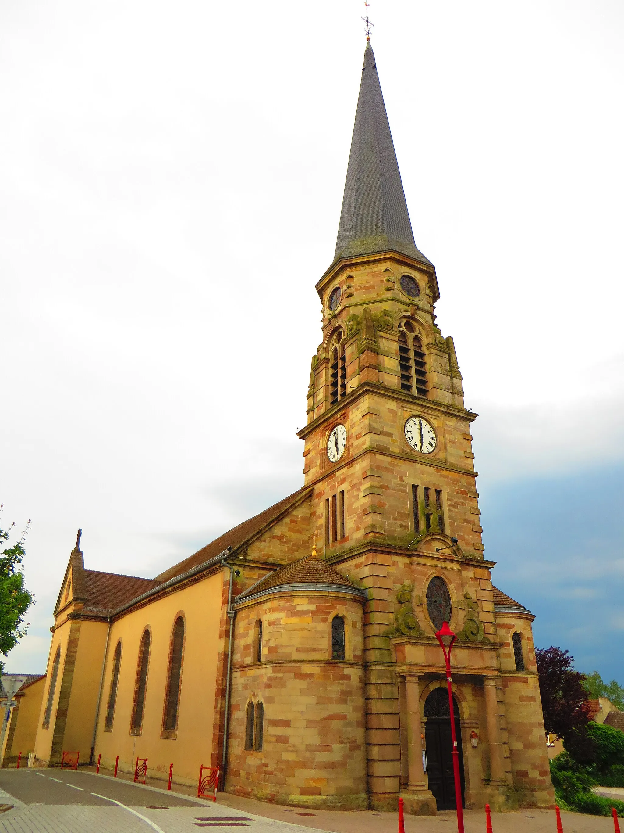
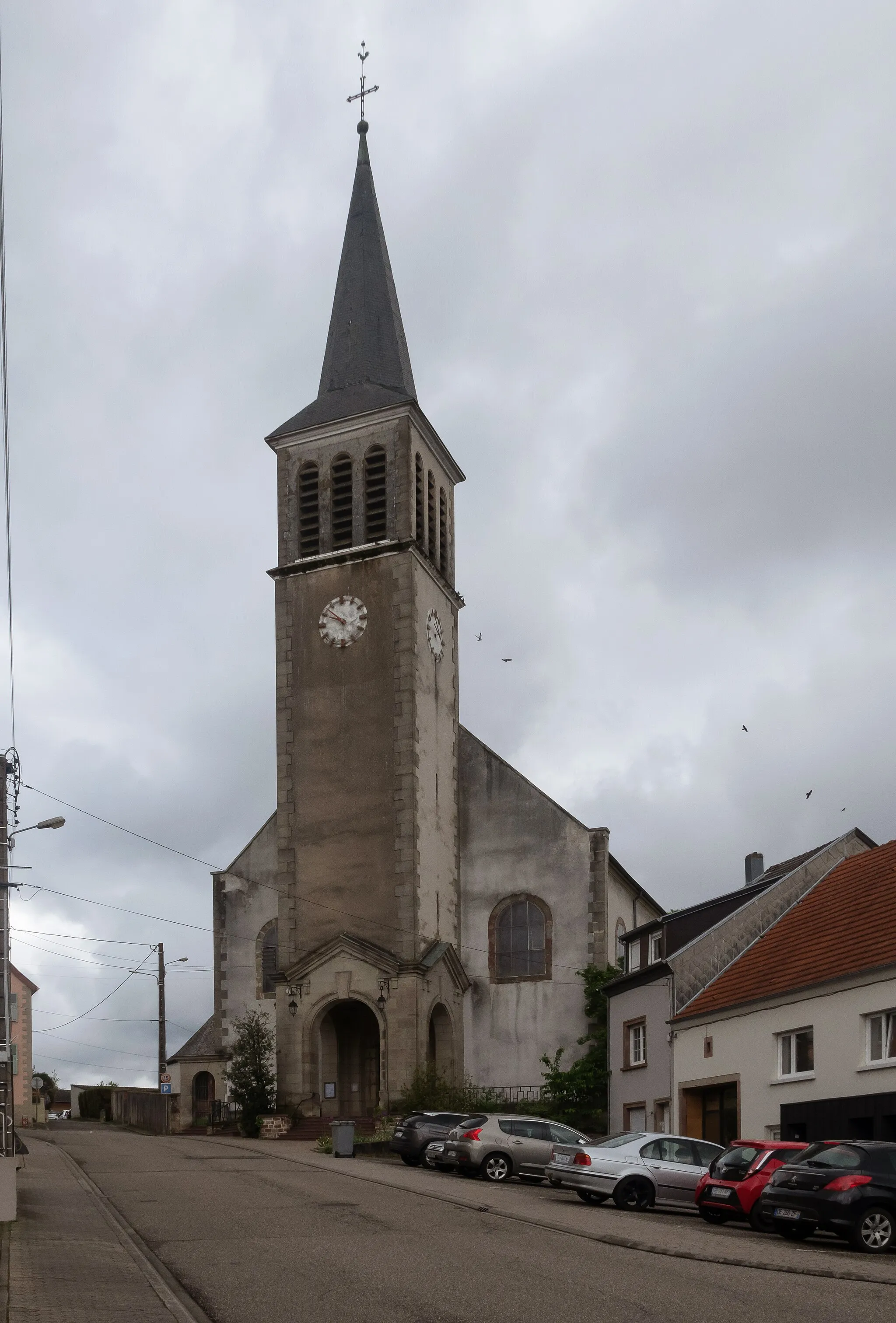
ŒtingVillageŒting is a small village known for its beautiful vineyards and traditional architecture.
24 km
24 km
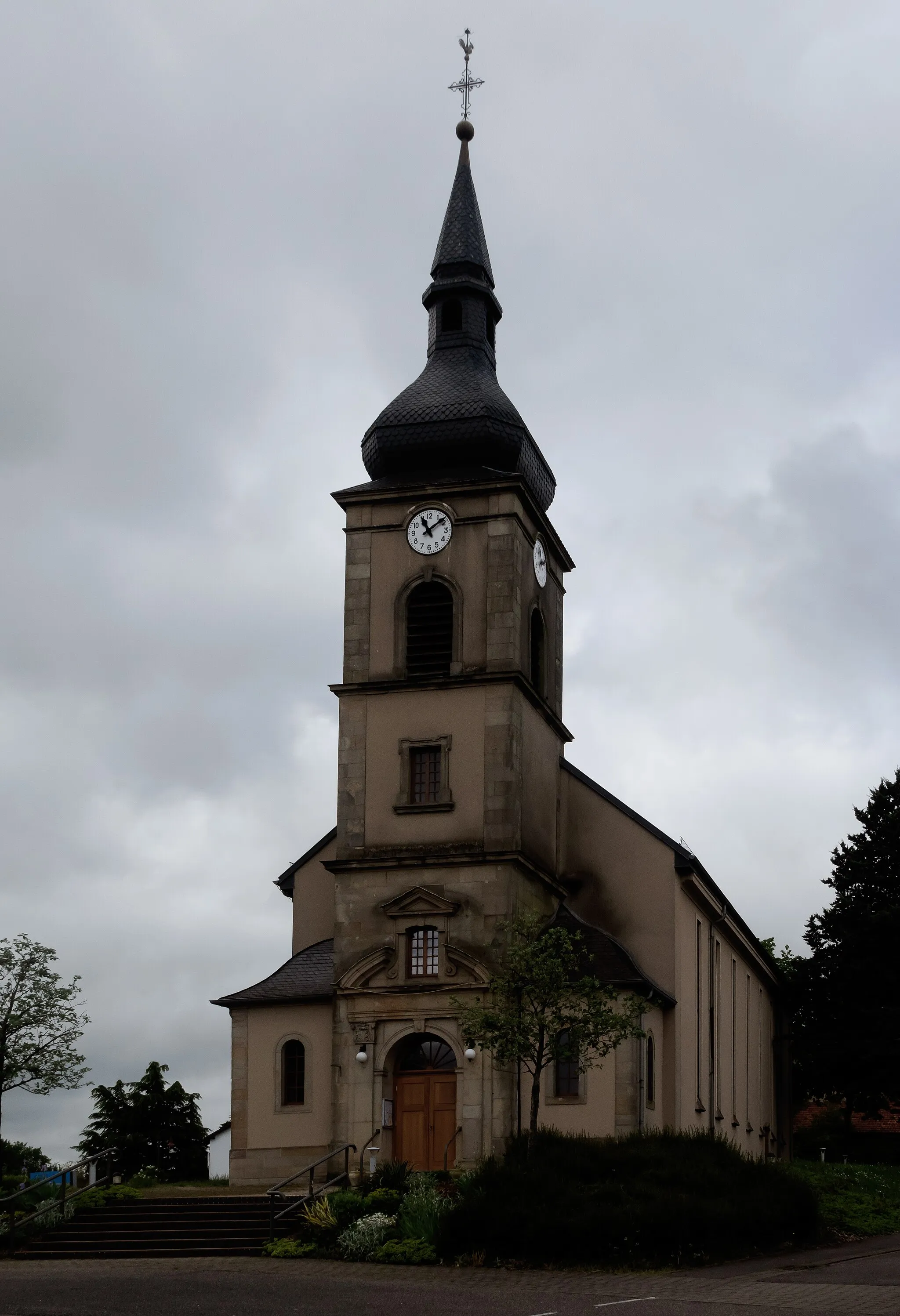
SchœneckVillageSchœneck is a picturesque town with an ancient castle and scenic hiking trails.
34 km
34 km
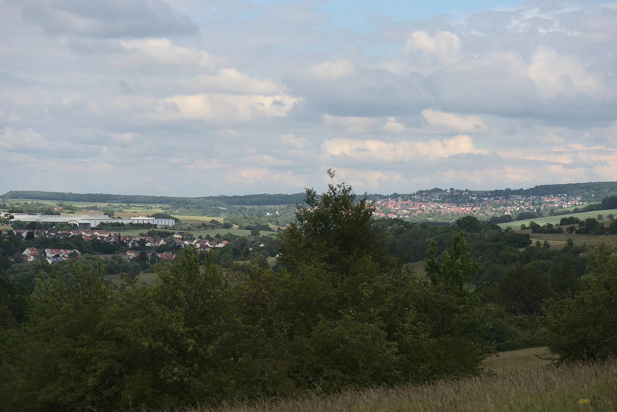
Schoksberg376 mPeakSchoksberg is a popular viewpoint that offers panoramic views of the surrounding countryside.
44 km
44 km
Göttelborner Höhe444 mPeakGöttelborner Höhe is a hilltop with a stunning view of the Lorraine region.
47 km
47 km
QuierschiedVillageQuierschied is a charming town with historic buildings and cozy cafes.
60 km
60 km
Schafkopf390 mPeakSchafkopf is a popular hiking destination with breathtaking views of the surrounding hills.
70 km
70 km
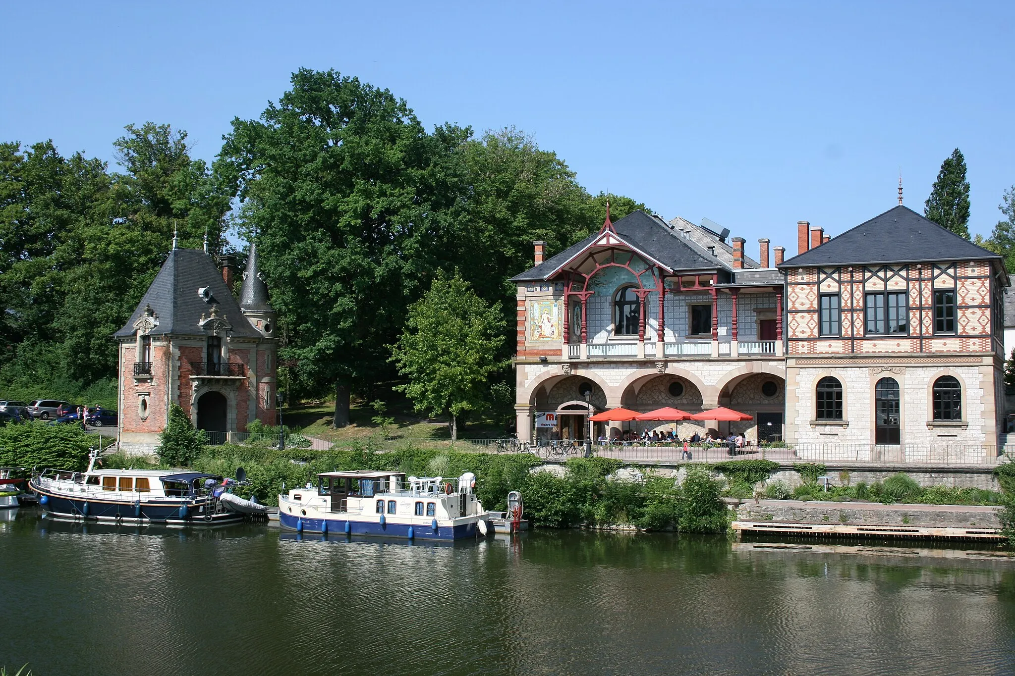
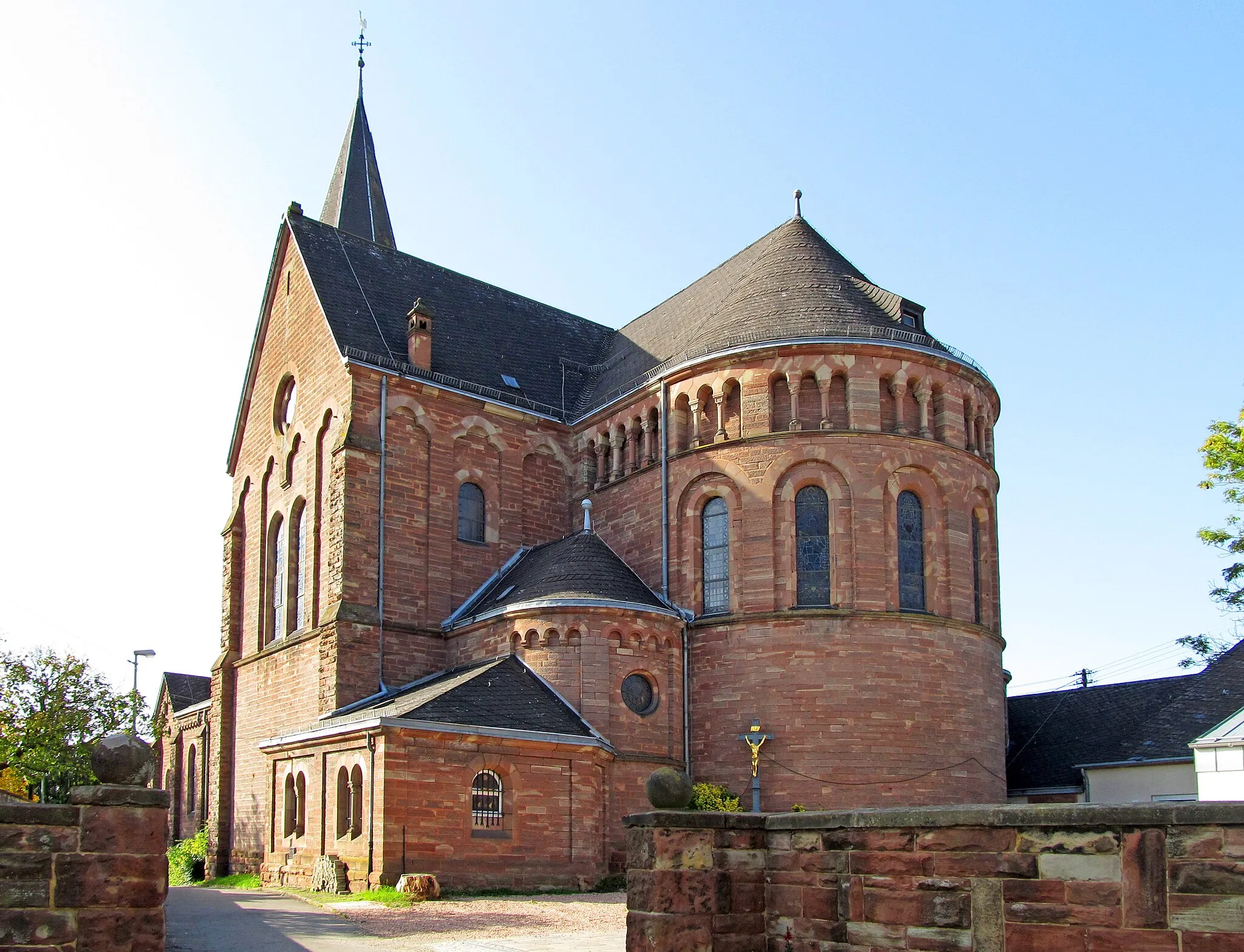
EschringenVillageEschringen is a small village known for its picturesque countryside and traditional houses.
78 km
78 km
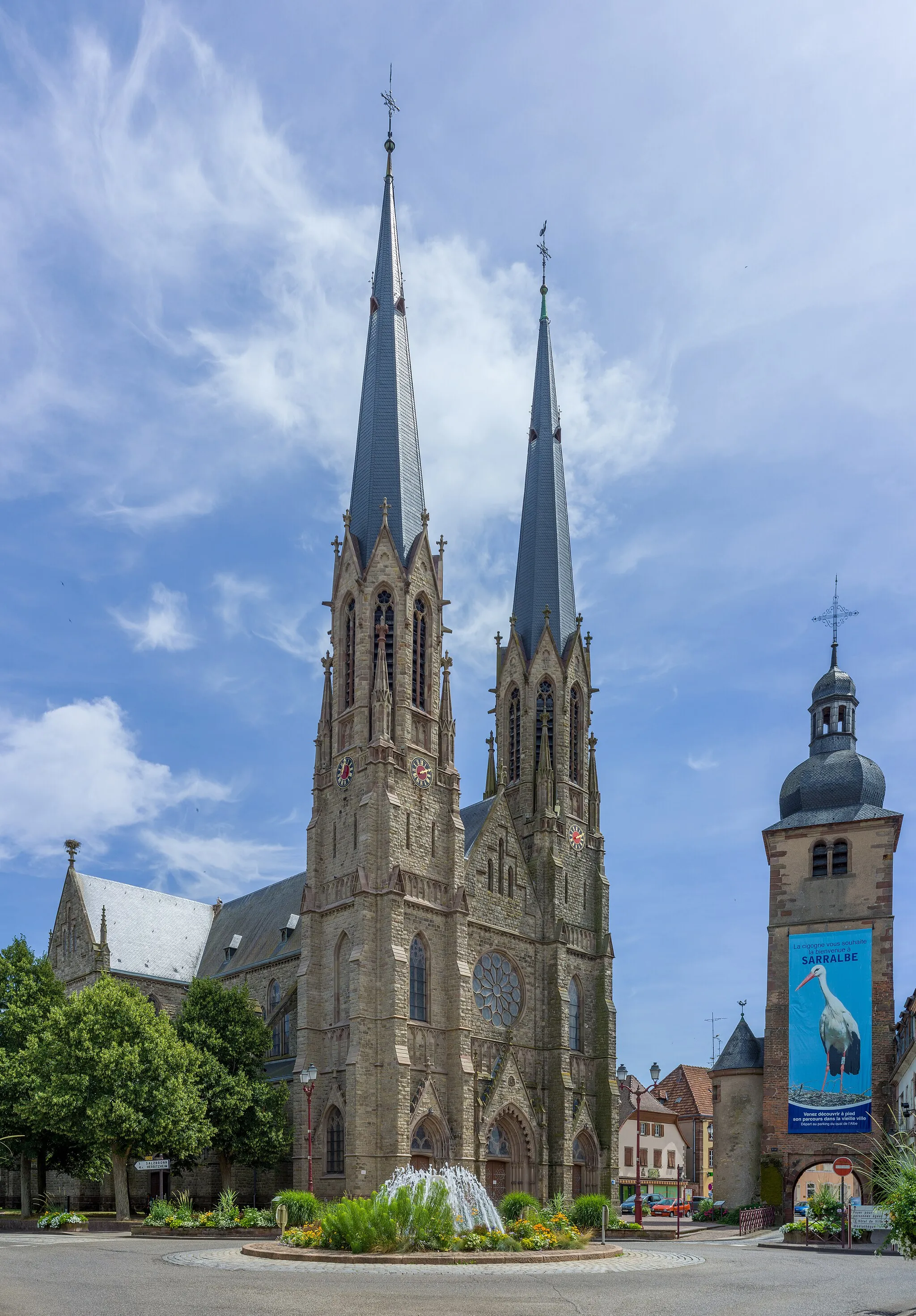
Blies-GuersvillerVillageBlies-Guersviller is a scenic village nestled along the Blies River, offering stunning views of the water and surrounding nature.
78 km
78 km
Bliesgau BlickViewpoint91 km
91 km
WoustvillerVillageWoustviller is the starting and ending point of the route. It is a charming town with historic buildings and a vibrant cycling community.
91 km
91 km
Finish: Woustviller Village centerWoustviller: Cycling paradise with stunning climbs.
Cycling routes from Woustviller:
Cycling routes nearby: