Auterive - Cintegabelle Loop
A road cycling route starting from Auterive
Indulge in the charm of Cintegabelle on this delightful road cycling route
Map
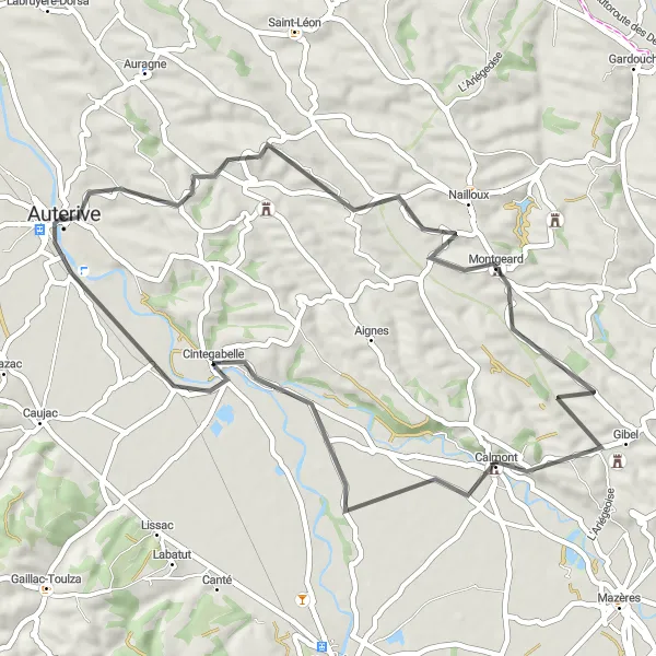
Experience the beauty of Cintegabelle with this scenic round-trip cycling route from Auterive. Covering a distance of 52 km and featuring an ascent of 604 meters, this route offers an enjoyable challenge for cyclists of intermediate skill levels. Along the way, stop by the charming village of Gibel, known for its peaceful atmosphere and traditional rural architecture.
road
52 km
604 m
Tough
Route profile
Highlights on the route
0 km
0 km
Start: Auterive City centerAuterive: Famous climb and scenic rides in Midi-Pyrénées.
Auterive is located in the Midi-Pyrénées region of France. From a cyclist's perspective, the locality offers a mix of road and gravel cycling routes. The area is hilly, with some more challenging climbs, making it suitable for intermediate to advanced cyclists. One of the highlights for cyclists in Auterive is the Col de Portet d'Aspet climb, which is well-known in the cycling community. Apart from the famous climb, cyclists can also enjoy the scenic countryside and charming villages in the region. Overall, Auterive is a popular destination for cyclists looking for challenging climbs and picturesque rides in the Midi-Pyrénées region.27 km
27 km
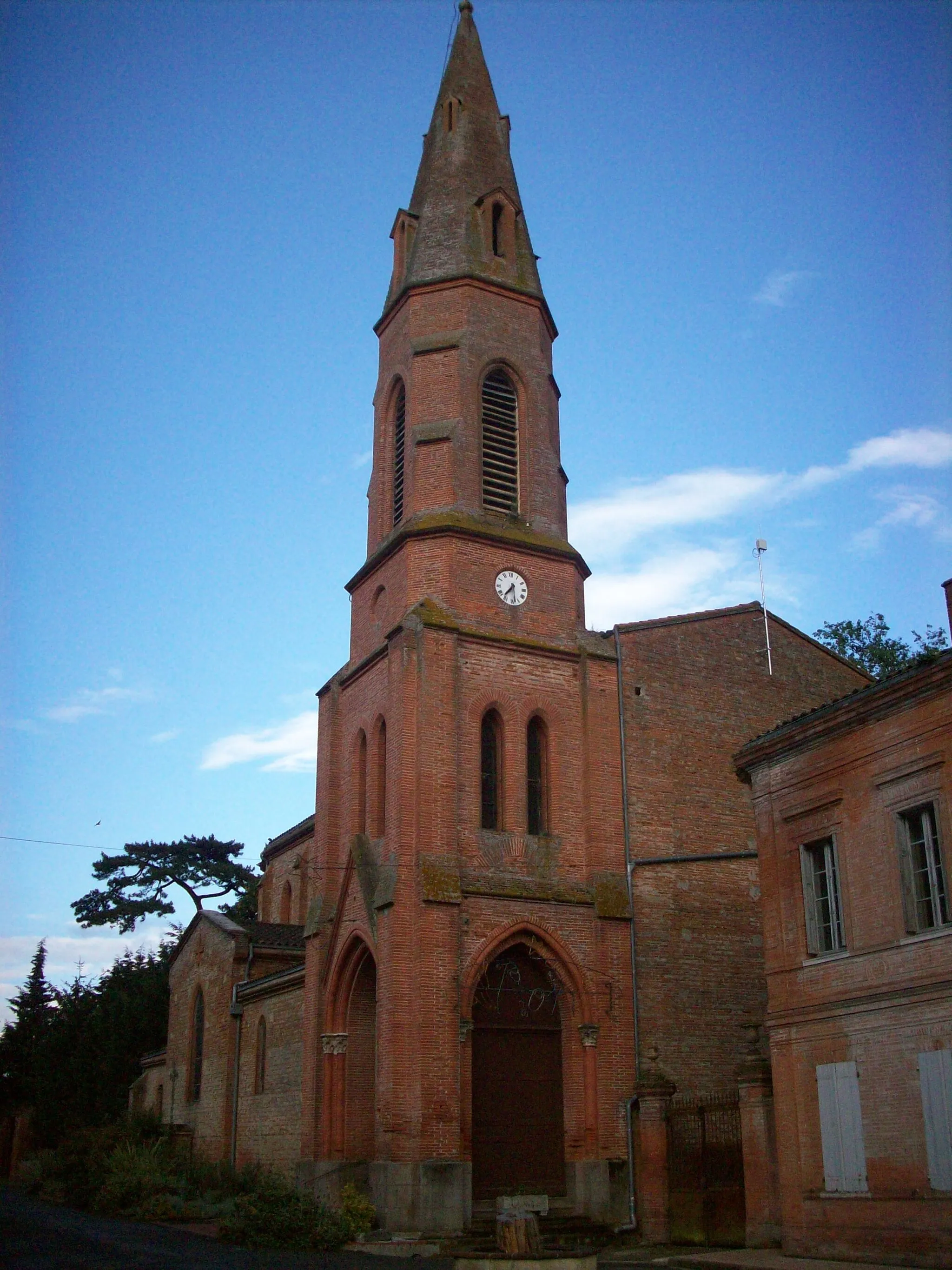
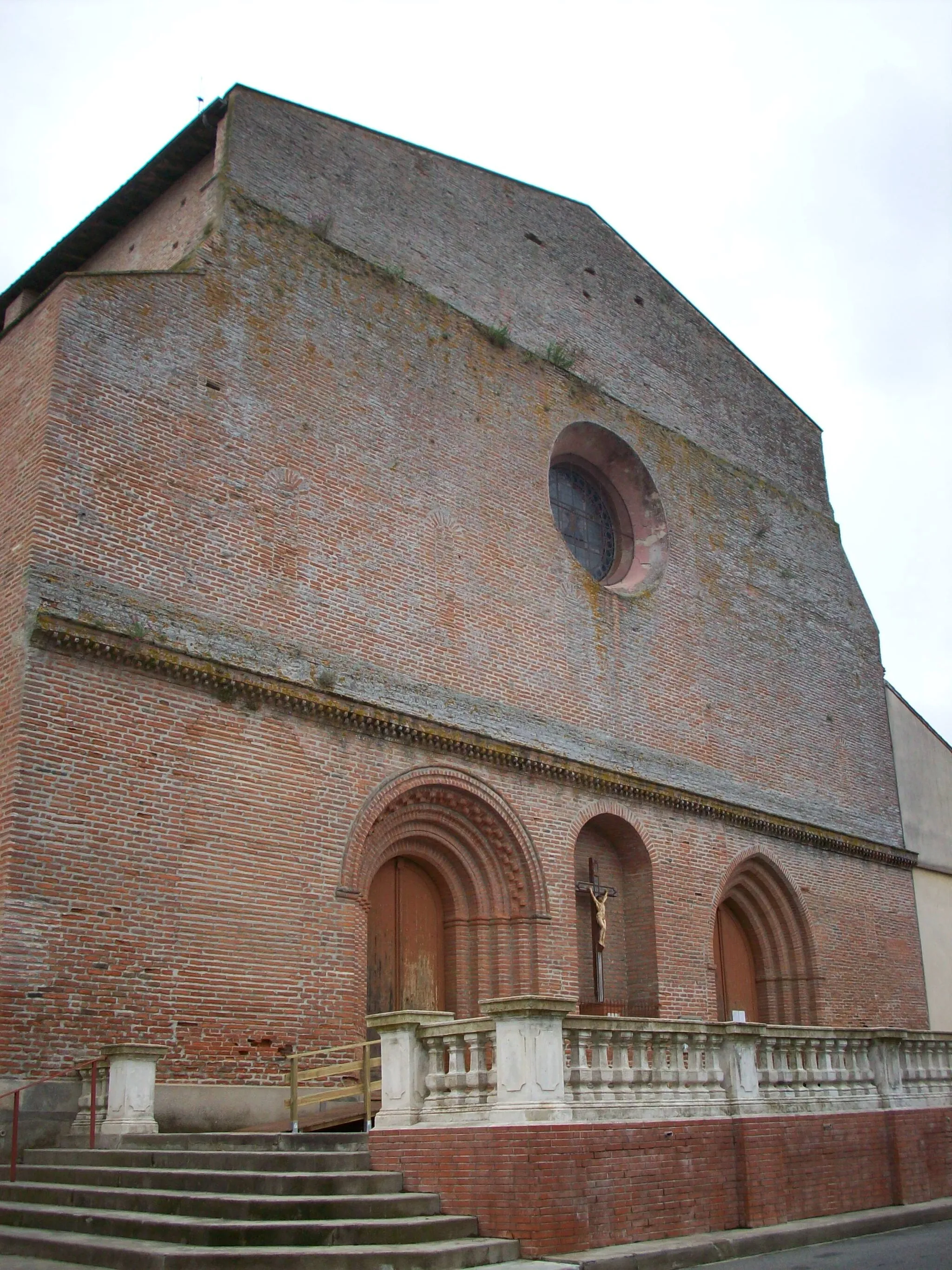
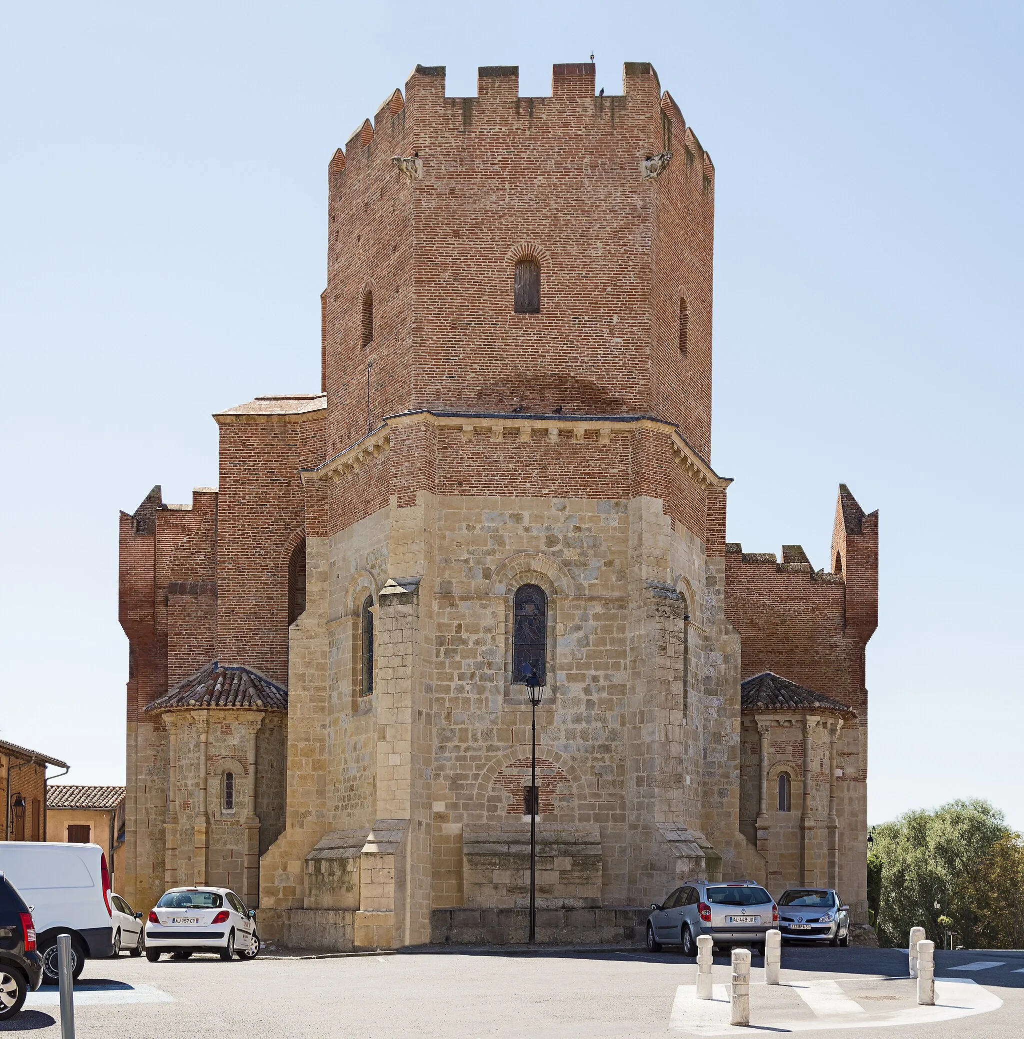
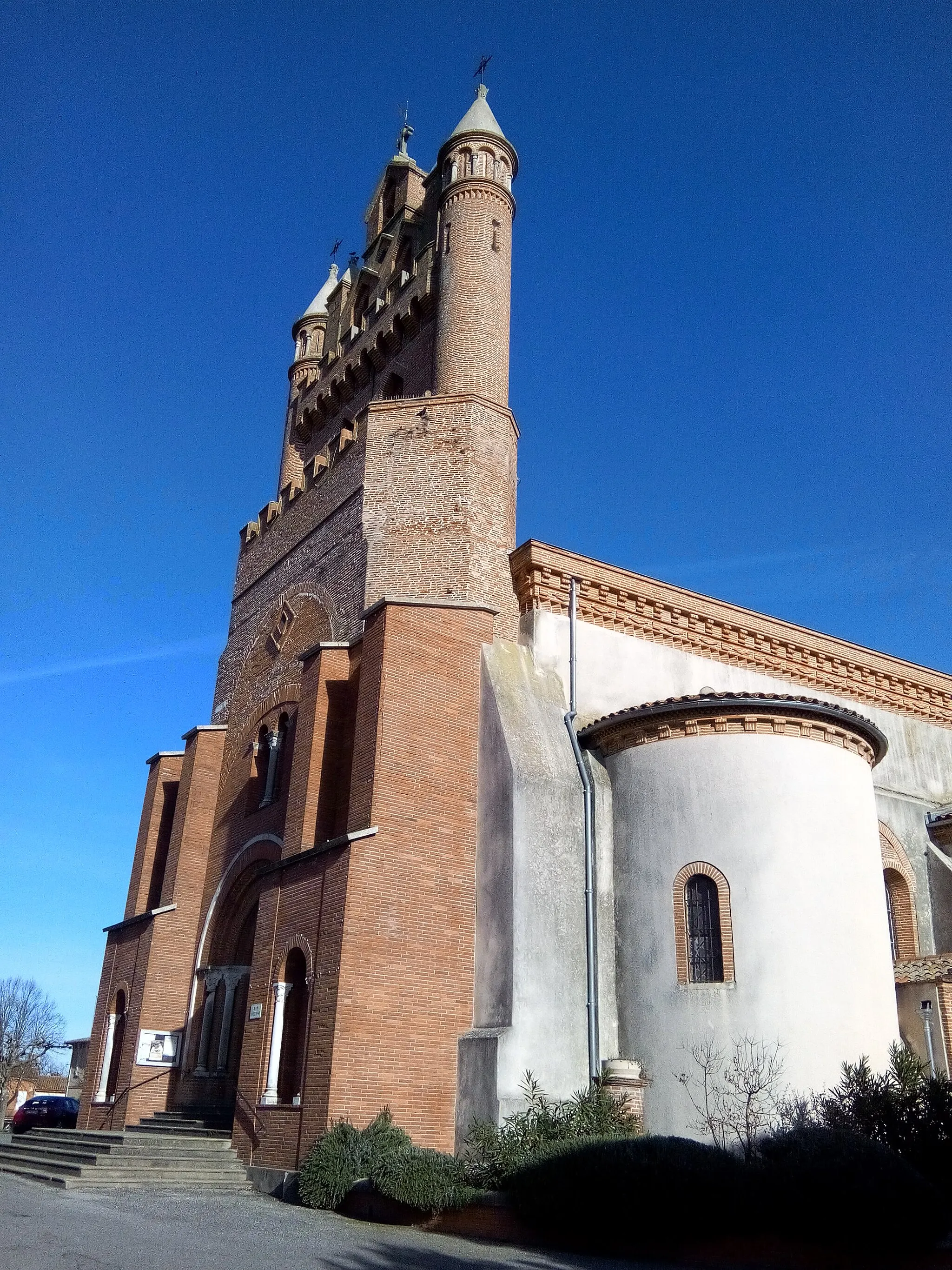
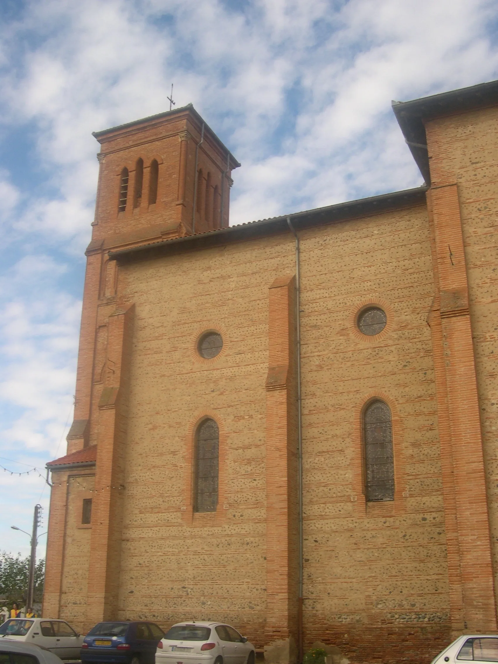
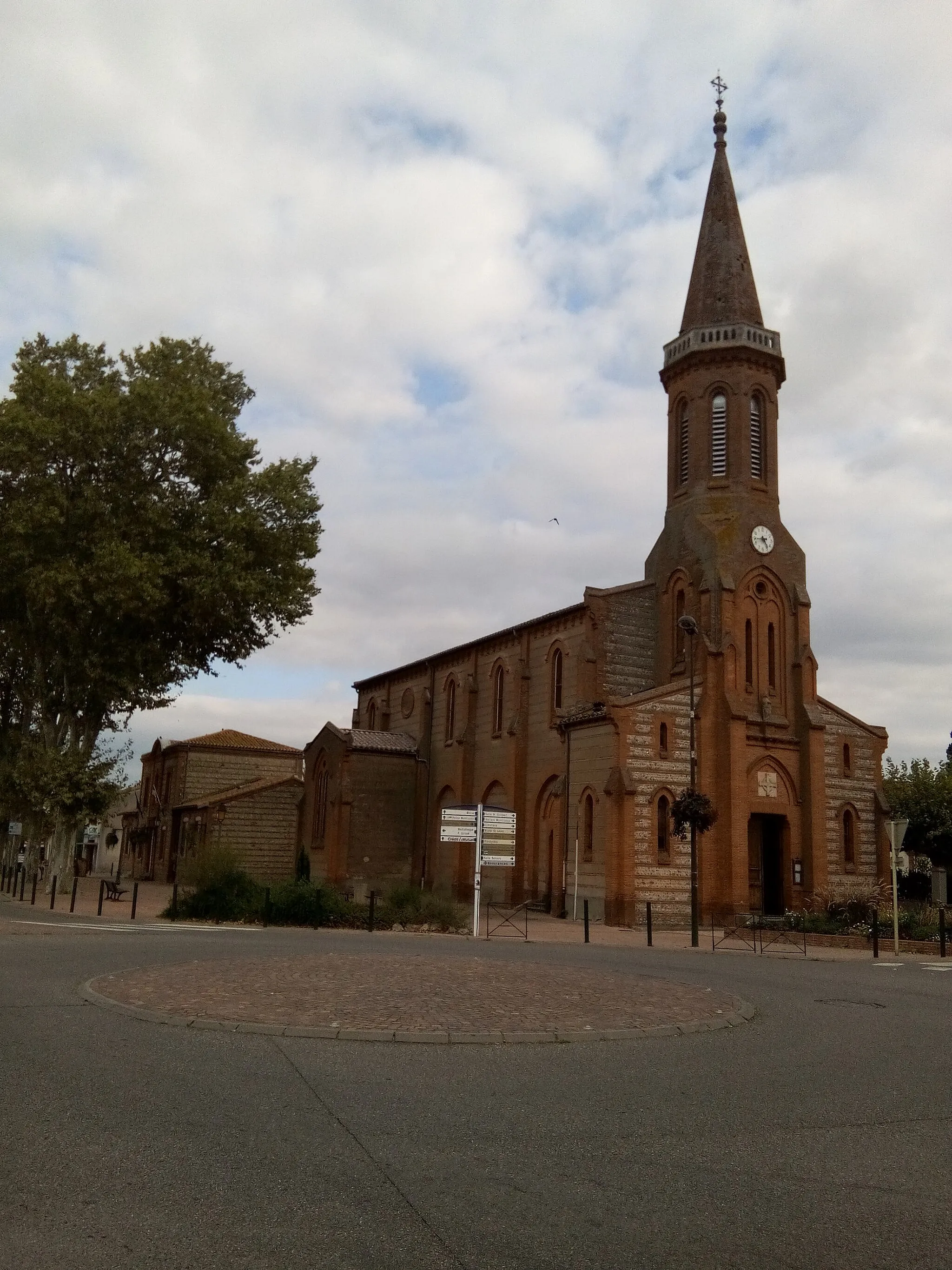
GibelVillageIn Gibel, visit the Church of Saint-Saturnin, constructed in the Romanesque architectural style, known for its beautiful frescoes.
43 km
43 km
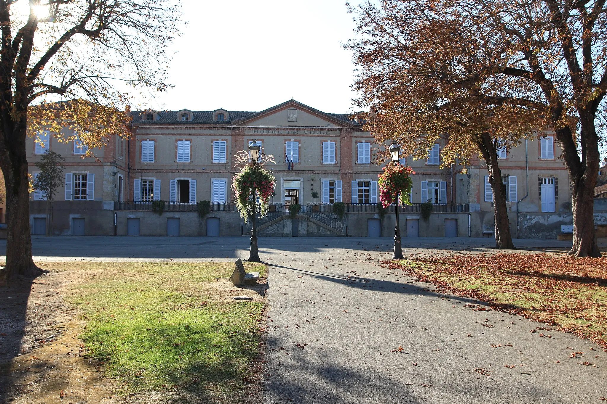
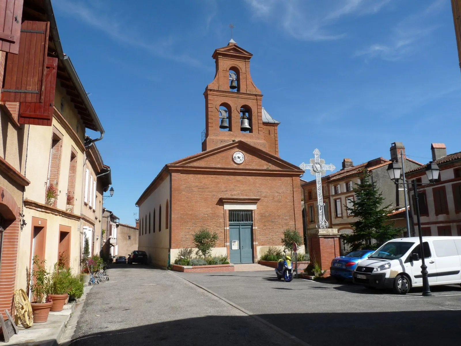
CintegabelleVillageCintegabelle boasts a remarkable Town Hall building, showcasing impressive architecture with its elegant facade and grand staircase.
43 km
43 km
Table d'orientationViewpointAt Table d'orientation, located along the route, you can soak in the breathtaking panoramic views of the surrounding countryside and distant Pyrénées mountains.
52 km
52 km
Finish: Auterive City centerAuterive: Famous climb and scenic rides in Midi-Pyrénées.
Cycling routes from Auterive:
Auterive - Auribail Loop Auterive - Plaisance-du-Touch Loop Auterive - Lafitte-Vigordane Loop Auterive - Cornebarrieu Loop Auterive - Cintegabelle Loop Auterive to Beaumont-sur-Lèze and back Auterive to Labruyère-Dorsa and back Auterive to Mauressac and back Auterive to Saint-Quirc and back Auterive to Auragne and back Auragne to Cintegabelle Loop
Cycling routes nearby: