Lauragais Circuit
A road cycling route starting from Labege
Embark on an epic cycling journey through the stunning landscapes of Lauragais
Map
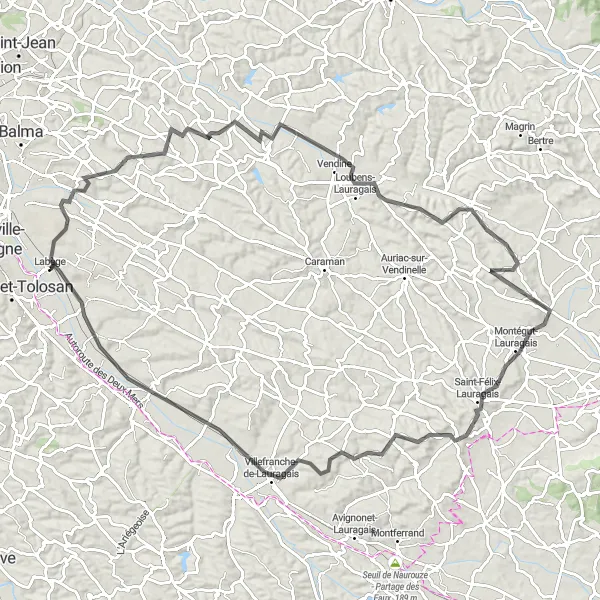
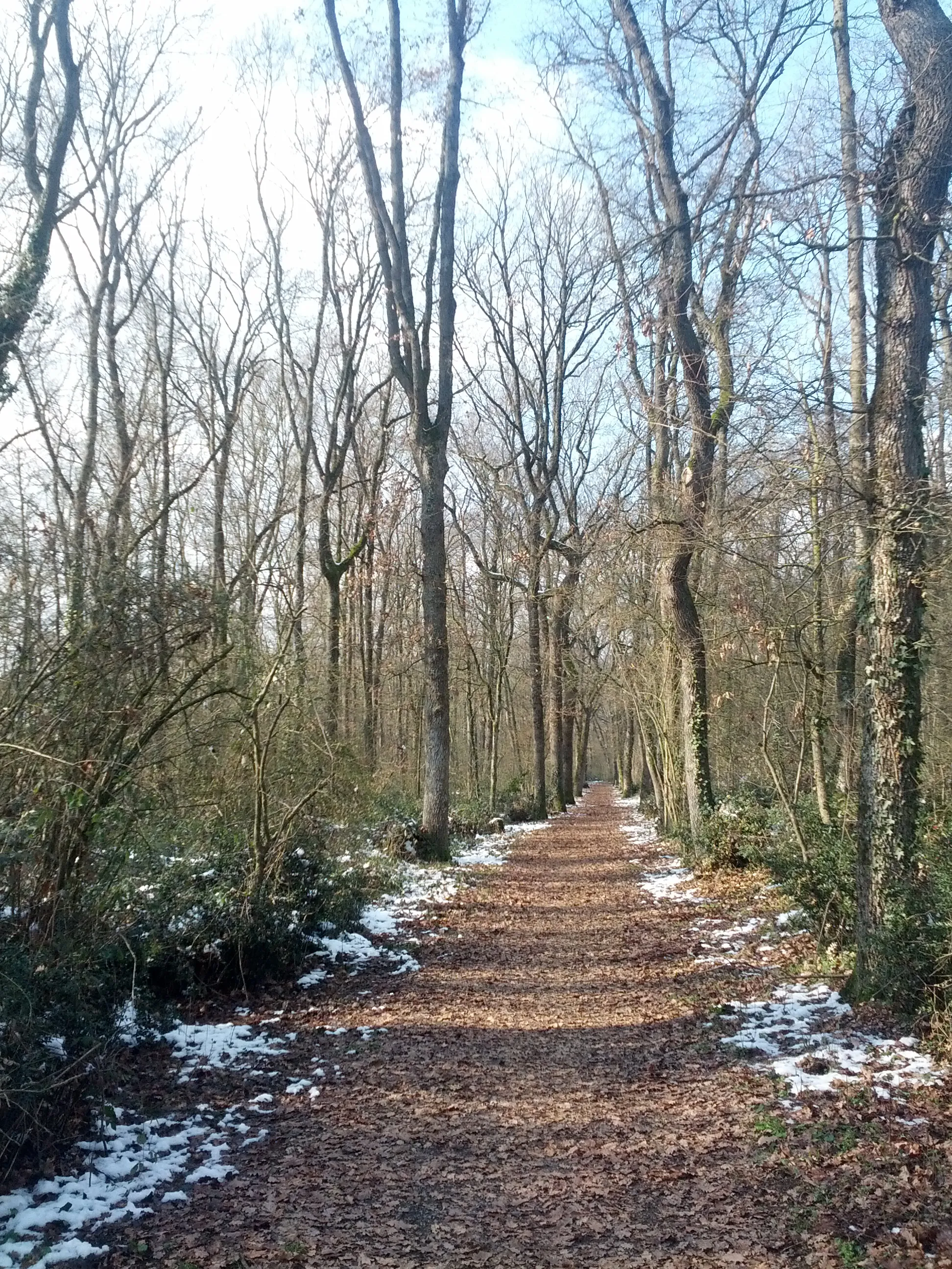
The Lauragais Circuit is an epic road cycling route that takes you on a 107 km adventure through the breathtaking landscapes of the Lauragais region. With an ascent of 1002 meters, this challenging route is suitable for experienced cyclists. Starting near Labège, the circuit passes through Drémil-Lafage, Vendine, Aguts, Les Cassés, Villenouvelle, and returns to Labège.
road
107 km
1002 m
Savage
Route profile
Highlights on the route
0 km
0 km
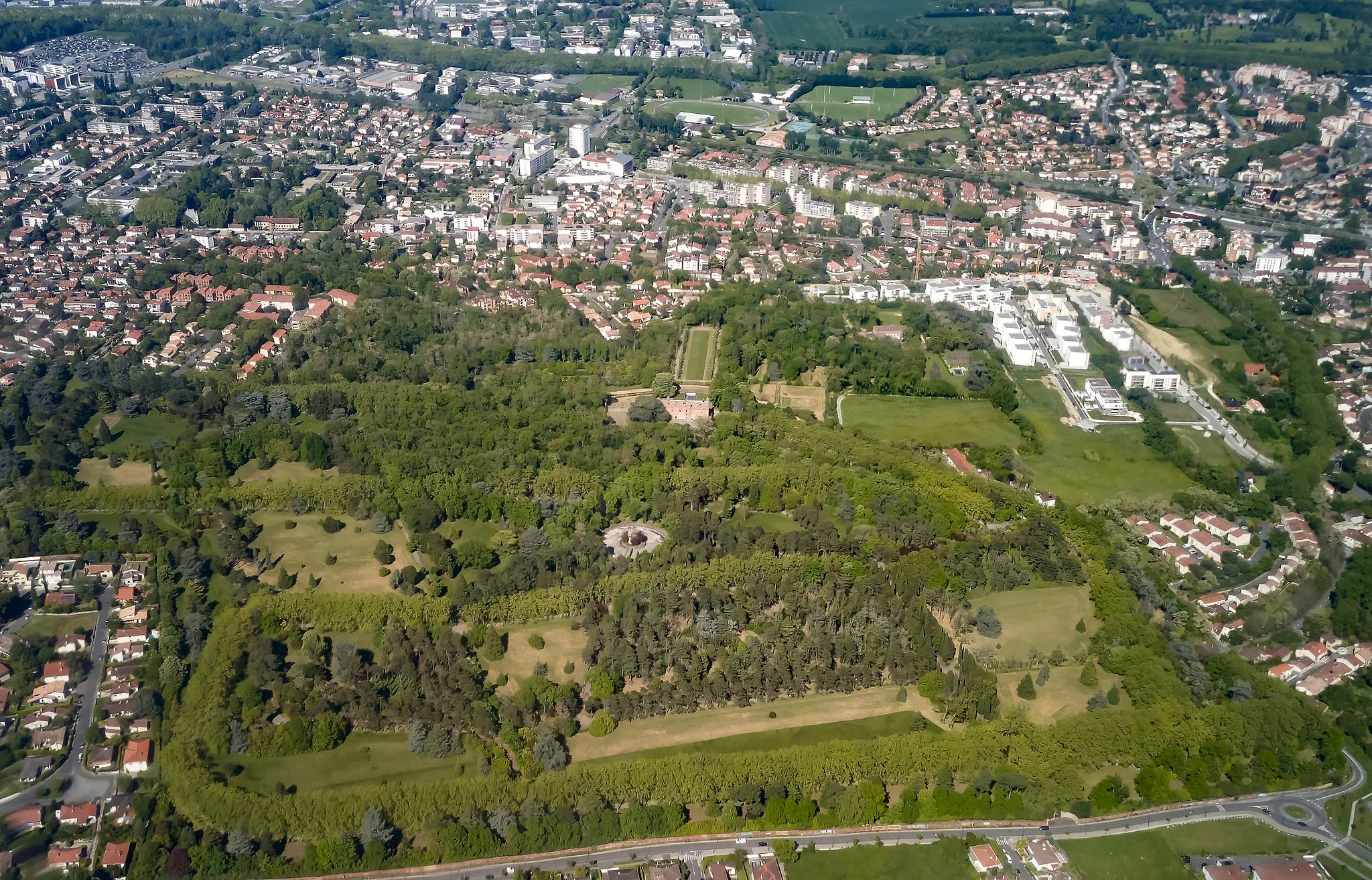
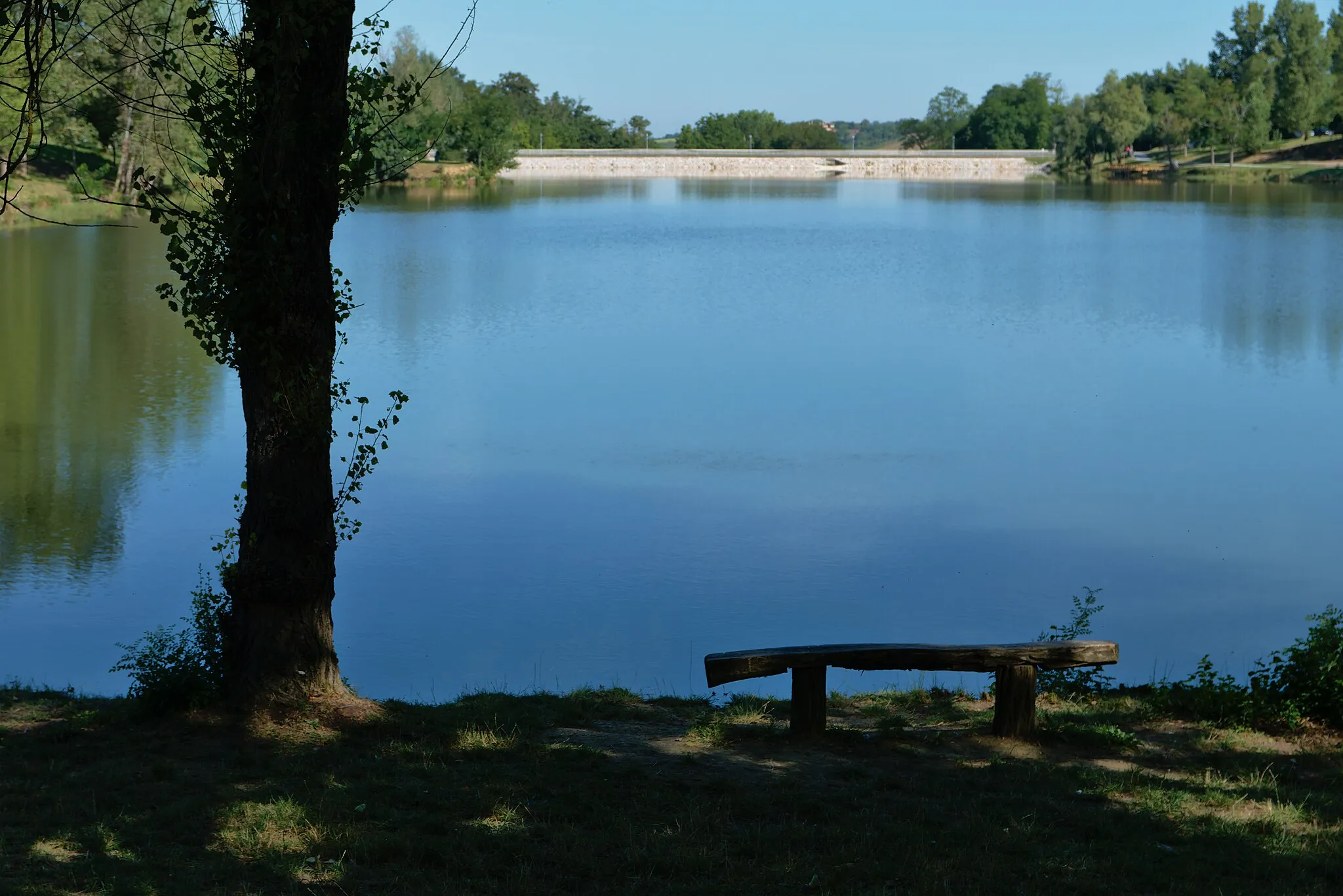
Start: Labège Village centerLabège: A cycling-friendly commune in Midi-Pyrénées.
Labège is a commune located in the Midi-Pyrénées region of France. As a road and gravel cyclist, you will find this locality to be a suitable base for exploring the region's cycling routes. The roads around Labège are well-maintained and offer diverse terrain options for different cycling preferences. One of the well-known nearby cycling routes is the Col de Portet d'Aspet, a challenging climb featuring stunning mountain views. Additionally, Labège is close to the beautiful Canal du Midi, providing cyclists with scenic rides along its banks. Overall, Labège is a great cycling-friendly area with various routes catering to different skill levels.13 km
13 km
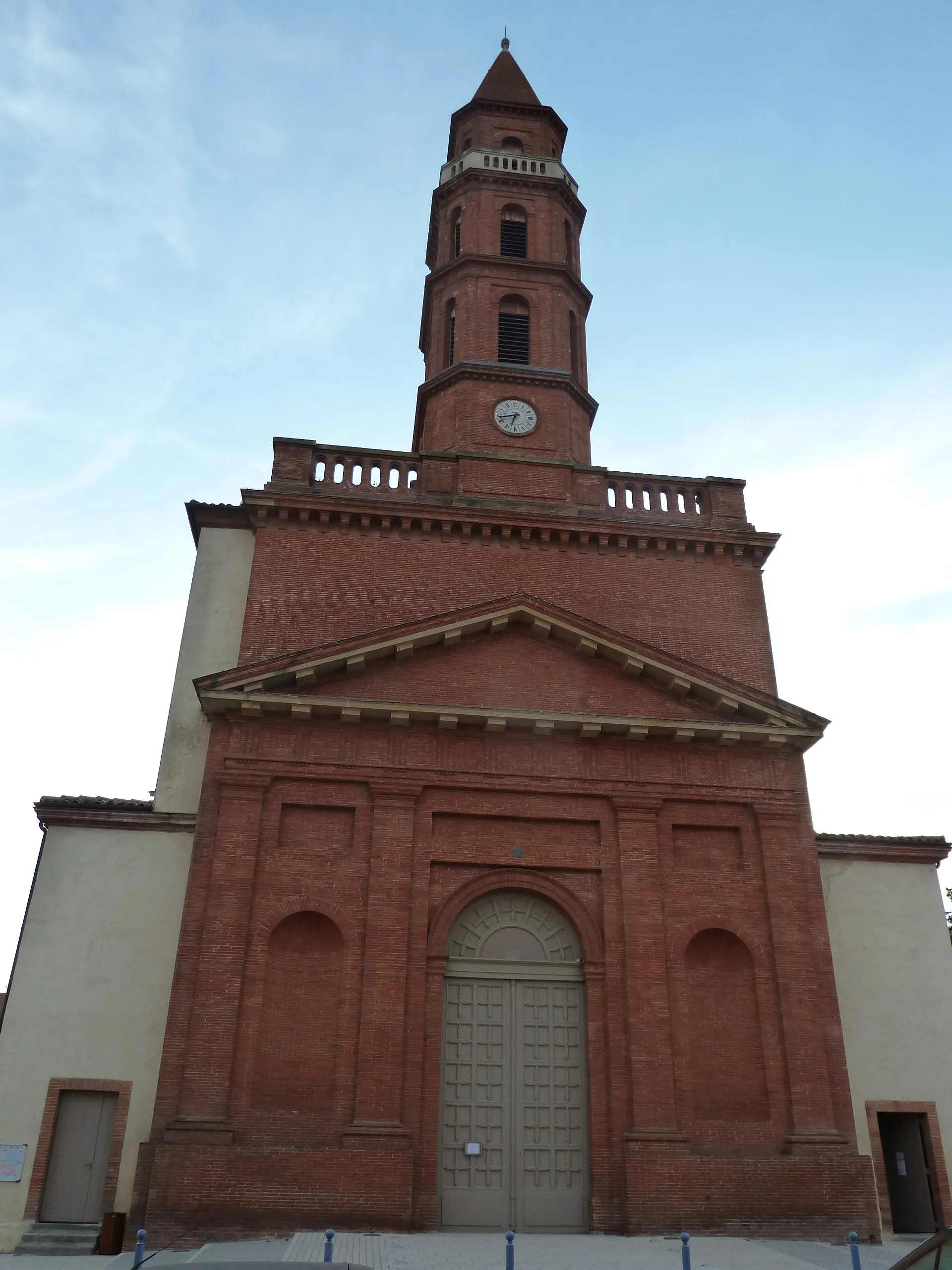
Drémil-LafageVillageDrémil-Lafage is a charming village with narrow streets, well-preserved architecture, and a lively market square.
32 km
32 km
VendineVillageVendine is known for its beautiful castle and its picturesque views of the surrounding countryside.
49 km
49 km
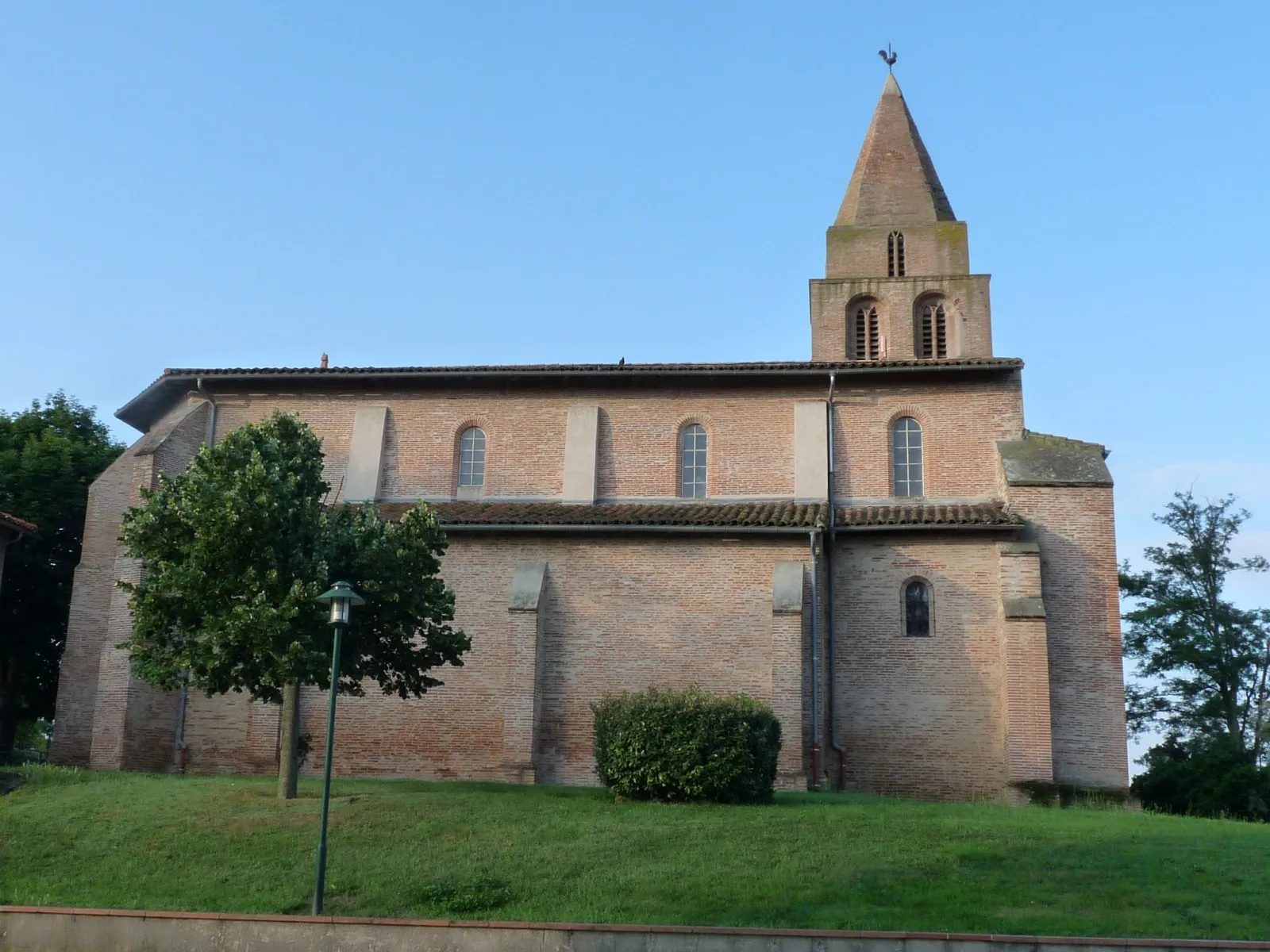
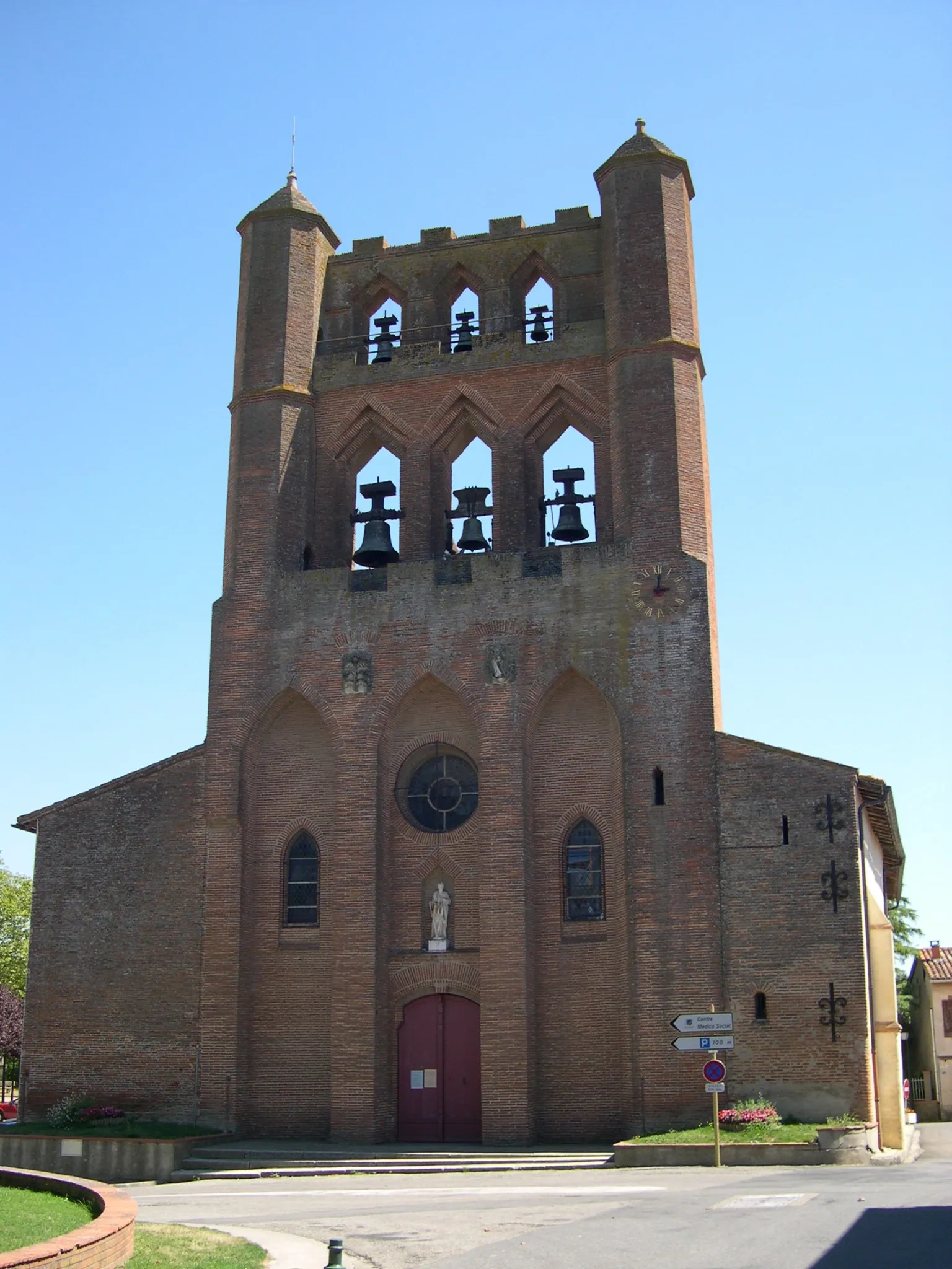
AgutsVillageAguts is a tranquil village with a lovely church and scenic walking trails in the nearby hills.
68 km
68 km
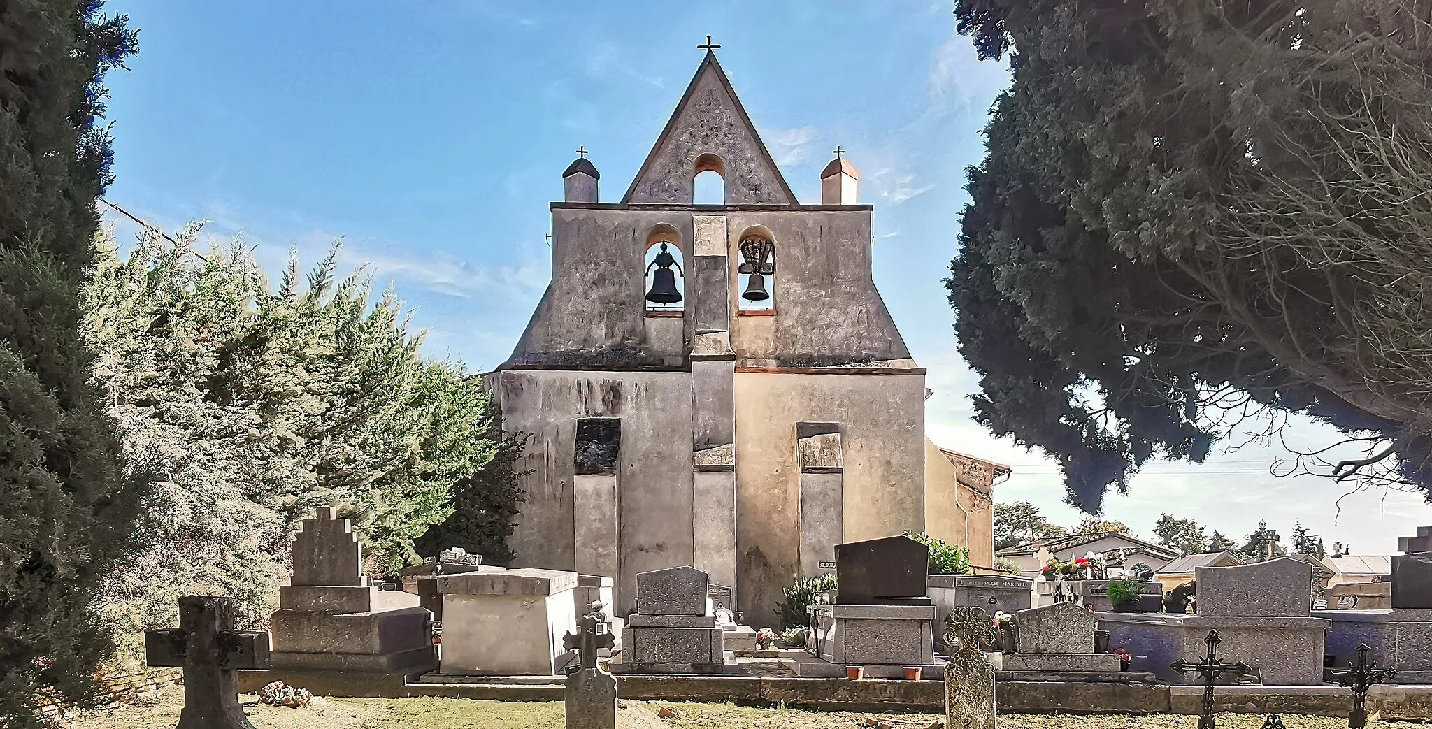
Les CassésVillageLes Cassés offers stunning views of the rolling fields and vineyards of the Lauragais region.
90 km
90 km
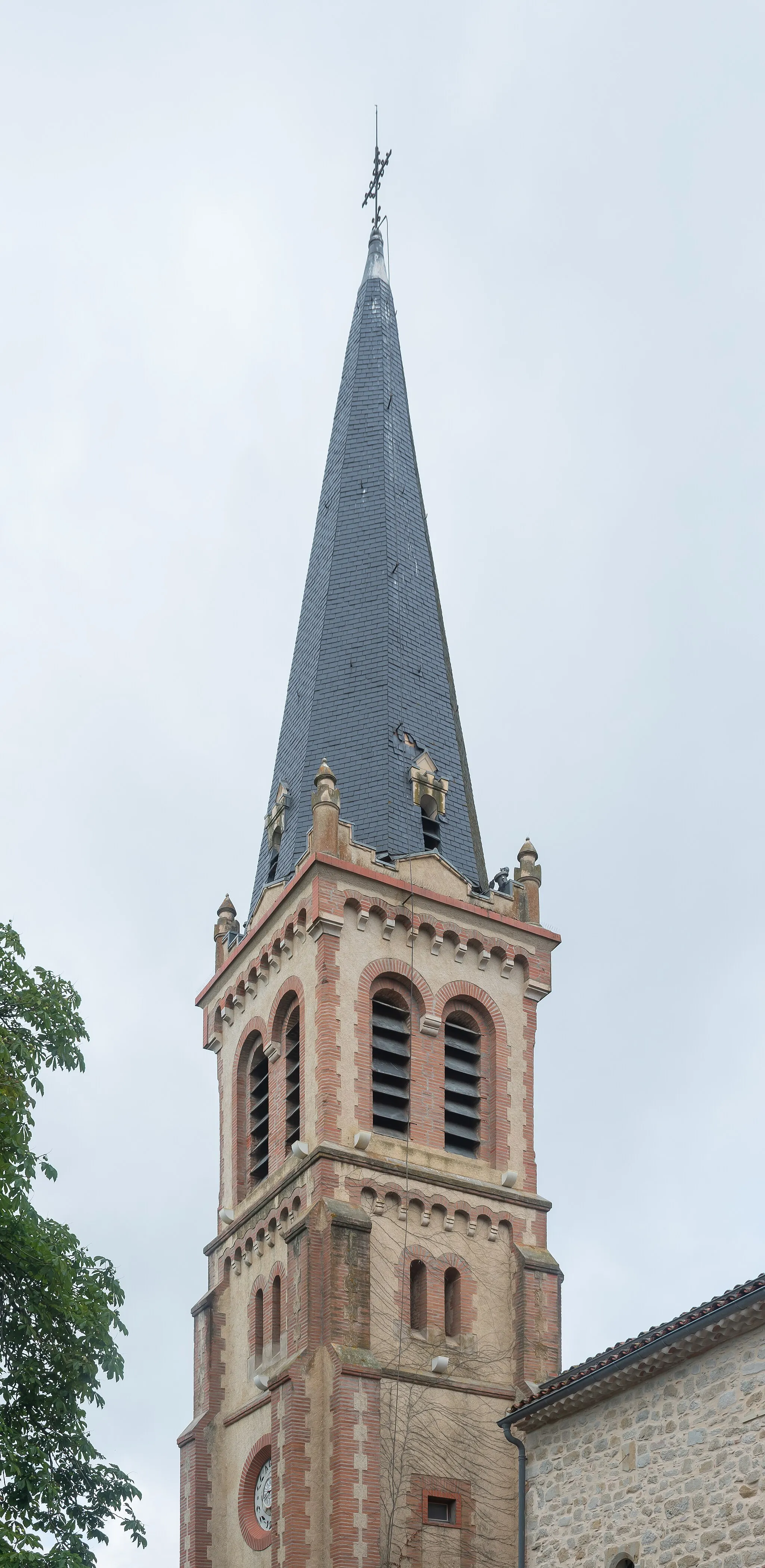
VillenouvelleVillageVillenouvelle is a charming medieval village with narrow cobblestone streets and a fortified gate.
107 km
107 km
LabègeVillageLabège serves as the starting and ending point of the route, allowing cyclists to explore the stunning landscapes and cultural heritage of the Lauragais region.
107 km
107 km
Finish: Labège Village centerLabège: A cycling-friendly commune in Midi-Pyrénées.
Cycling routes from Labege:
Lauzerville and Tarabel Circular Route Lauragais Circuit Labège Loop Odars and Villefranche-de-Lauragais Route Labège - Nailloux Loop Lauragais Loop Labège to Sainte-Foy-d'Aigrefeuille Round Trip Castanet-Tolosan and Toulouse Gravel Route Corronsac and Montaudran Circular Route Labège and Canal de Brienne Loop
Cycling routes nearby: