Laroque-des-Arcs
A road cycling route starting from Pradines
Laroque-des-Arcs is a distinctive route with scenic highlights
Map
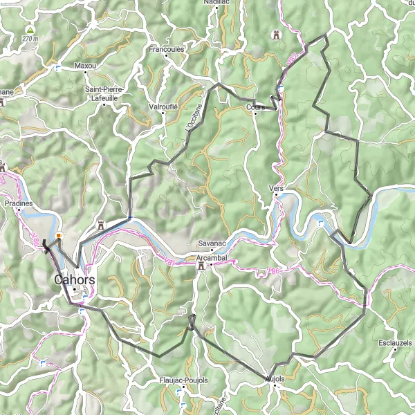
This road cycling route starting near Pradines is a distinctive and scenic journey that takes you through the beautiful town of Laroque-des-Arcs. With a total ascent of 1,296 meters and a distance of 68 kilometers, this route offers a challenging yet rewarding experience for well-trained amateur cyclists. The highlights along the route provide breathtaking views, such as the Mont Saint-Cyr overlooking Cahors, which is definitely worth a stop to admire the panoramic scenery. Overall, this route offers a unique and memorable cycling experience in the Midi-Pyrénées region.
road
68 km
1296 m
Tough
Route profile
Highlights on the route
0 km
0 km
Start: Labéraudie Village centerPradines: Conquering challenging climbs and enjoying stunning views in the Midi-Pyrénées region.
Pradines is located in the Midi-Pyrénées region of France. From a cyclist's perspective, Pradines offers a mix of challenging climbs and scenic routes. The region is known for its beautiful landscapes and stunning views, making it a popular destination for road cyclists. One well-known climb nearby is Col de Pailhères, a legendary climb often featured in professional cycling races. With its challenging routes and breathtaking scenery, Pradines is a great option for both road and gravel cyclists.7 km
7 km
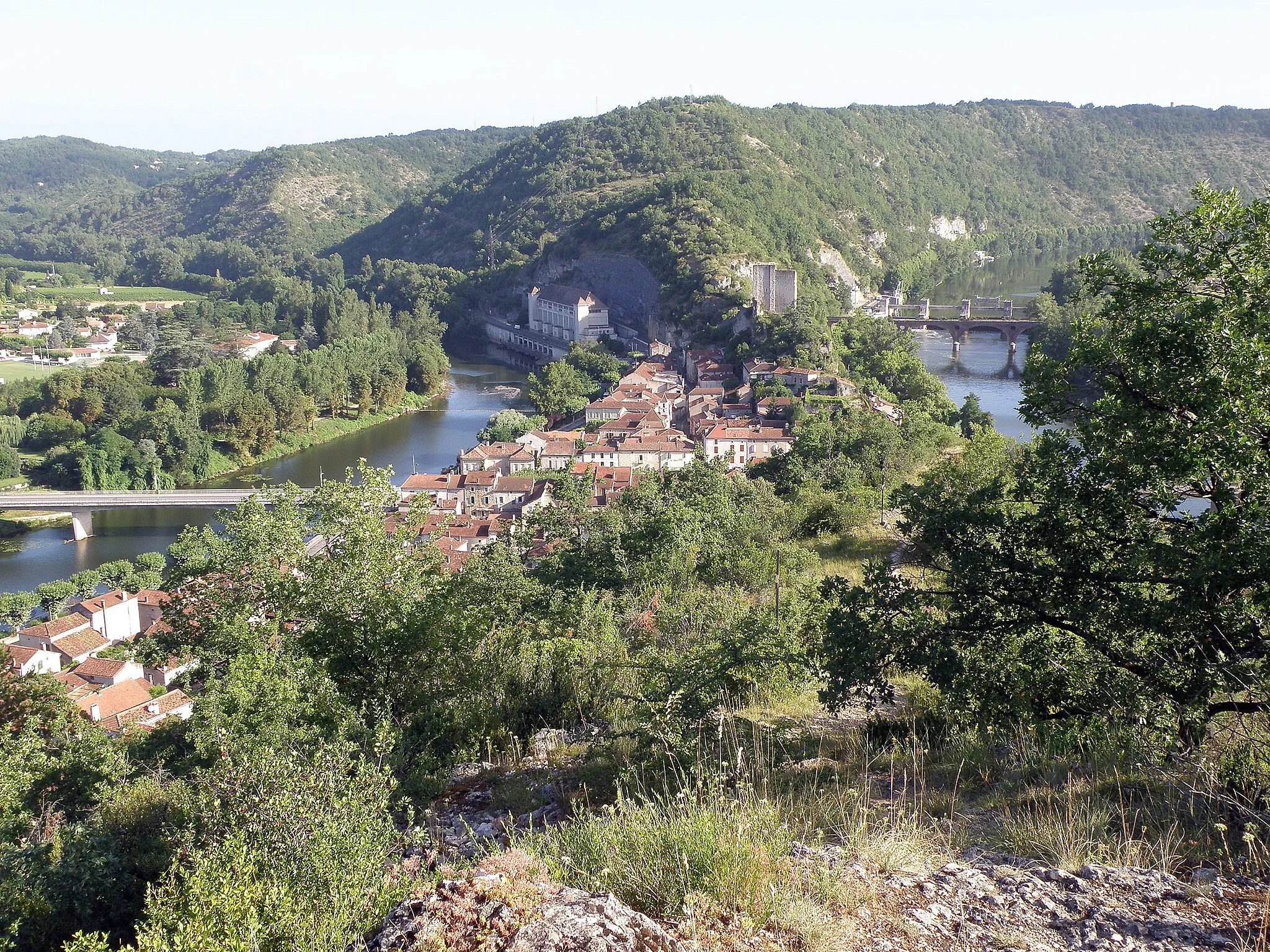
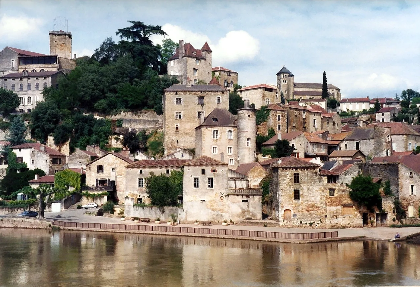
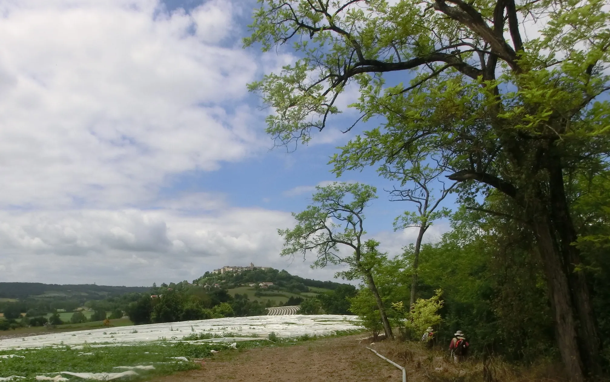
Laroque-des-ArcsVillageLaroque-des-Arcs is a picturesque town with charming medieval architecture, providing a scenic highlight on this cycling route.
51 km
51 km
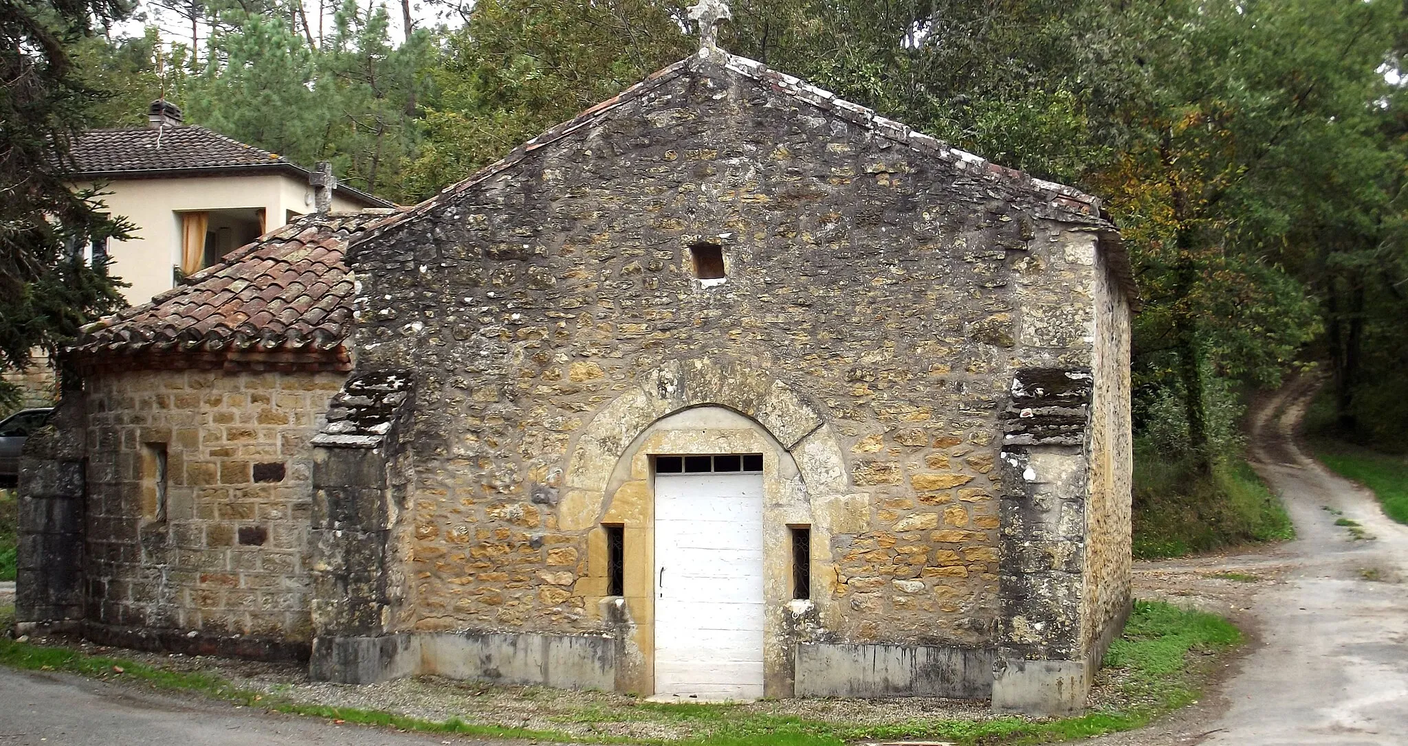
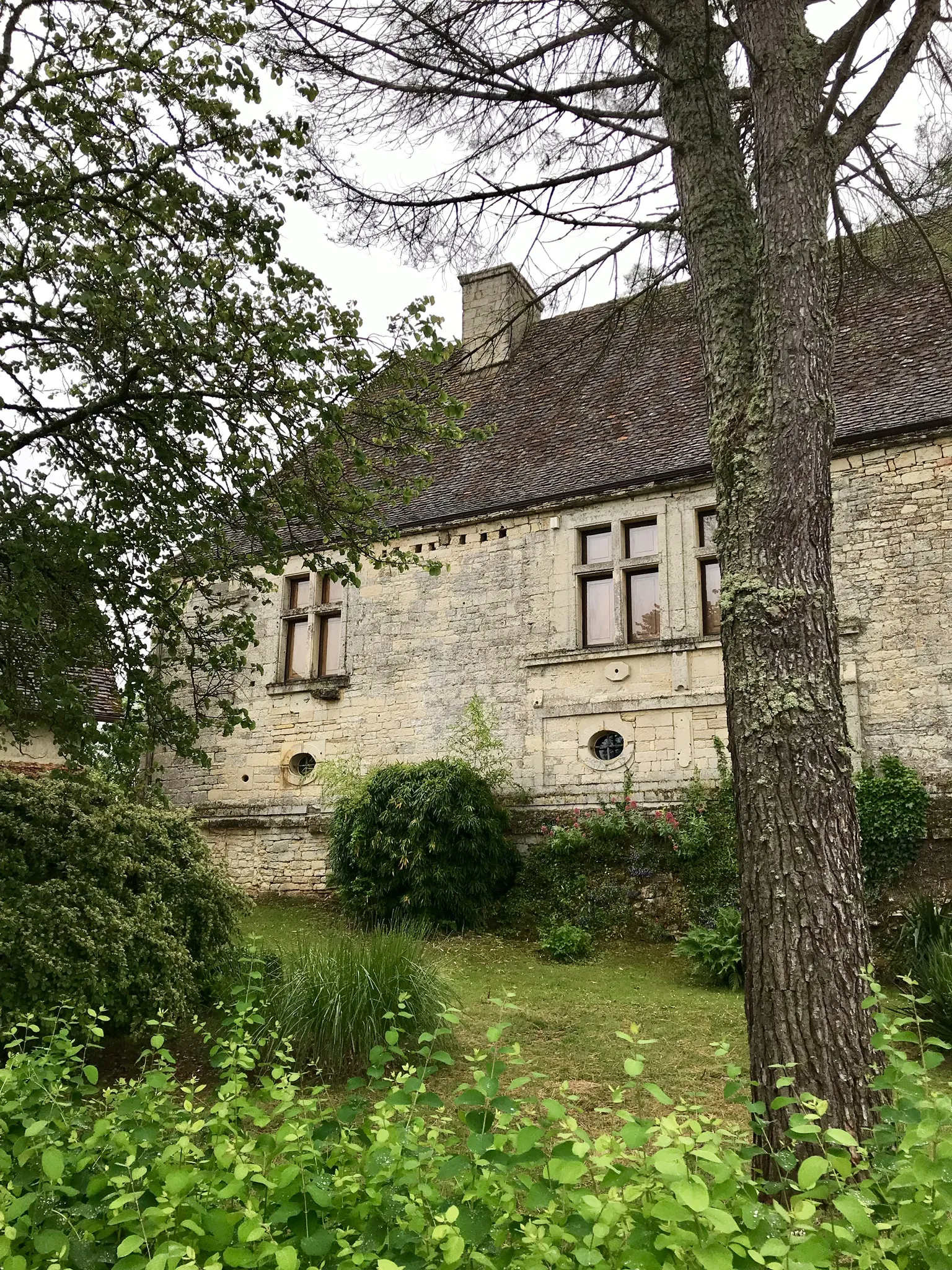
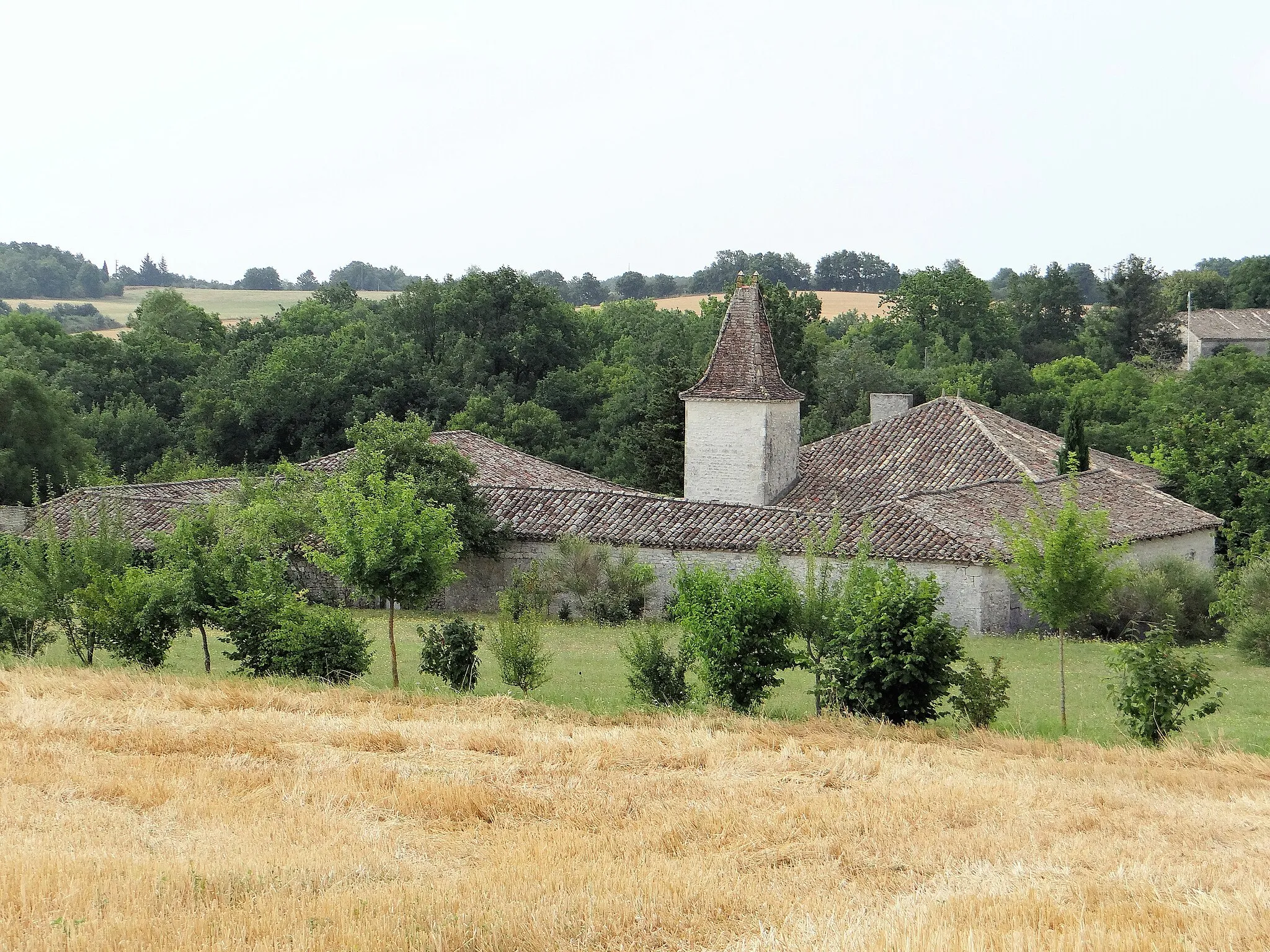
AujolsVillageAujols is a small village known for its beautiful stone houses and historic charm, offering a captivating highlight during the ride.
64 km
64 km
Point de vue du Mont Saint-Cyr sur CahorsViewpointThe Mont Saint-Cyr viewpoint near Cahors offers stunning vistas of the surrounding landscape, making it a must-visit highlight on this route.
68 km
68 km
Finish: Labéraudie Village centerPradines: Conquering challenging climbs and enjoying stunning views in the Midi-Pyrénées region.
Cycling routes from Pradines:
Labéraudie and L'Impernal Gravel Expedition The Impernal Challenge Calamane and Francoulès Gravel Adventure Exploring the Quercy Blanc Cycling through Quercy Noir Douelle and Saint-Denis-Catus Gravel Experience Cahors and Beyond Laroque-des-Arcs Francoulès to Croix de Magne Road Challenge Douelle and Labastide-du-Vert Road Adventure The Quercy Hills Loop
Cycling routes nearby: