Circuit des Collines
A road cycling route starting from Saint-Orens-de-Gameville
Glimpse picturesque villages and enjoy rolling hills.
Map
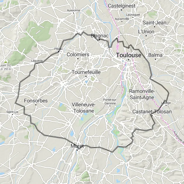
The Circuit des Collines offers a leisurely ride through the scenic countryside near Saint-Orens-de-Gameville. This route takes you through charming villages with traditional architecture and rolling hills that offer a moderate challenge. With a total distance of 94 kilometers and an ascent of 533 meters, this route is suitable for intermediate-level cyclists. Enjoy the peaceful atmosphere while cycling through the idyllic landscape of Midi-Pyrénées.
road
94 km
533 m
Tough
Route profile
Highlights on the route
0 km
0 km
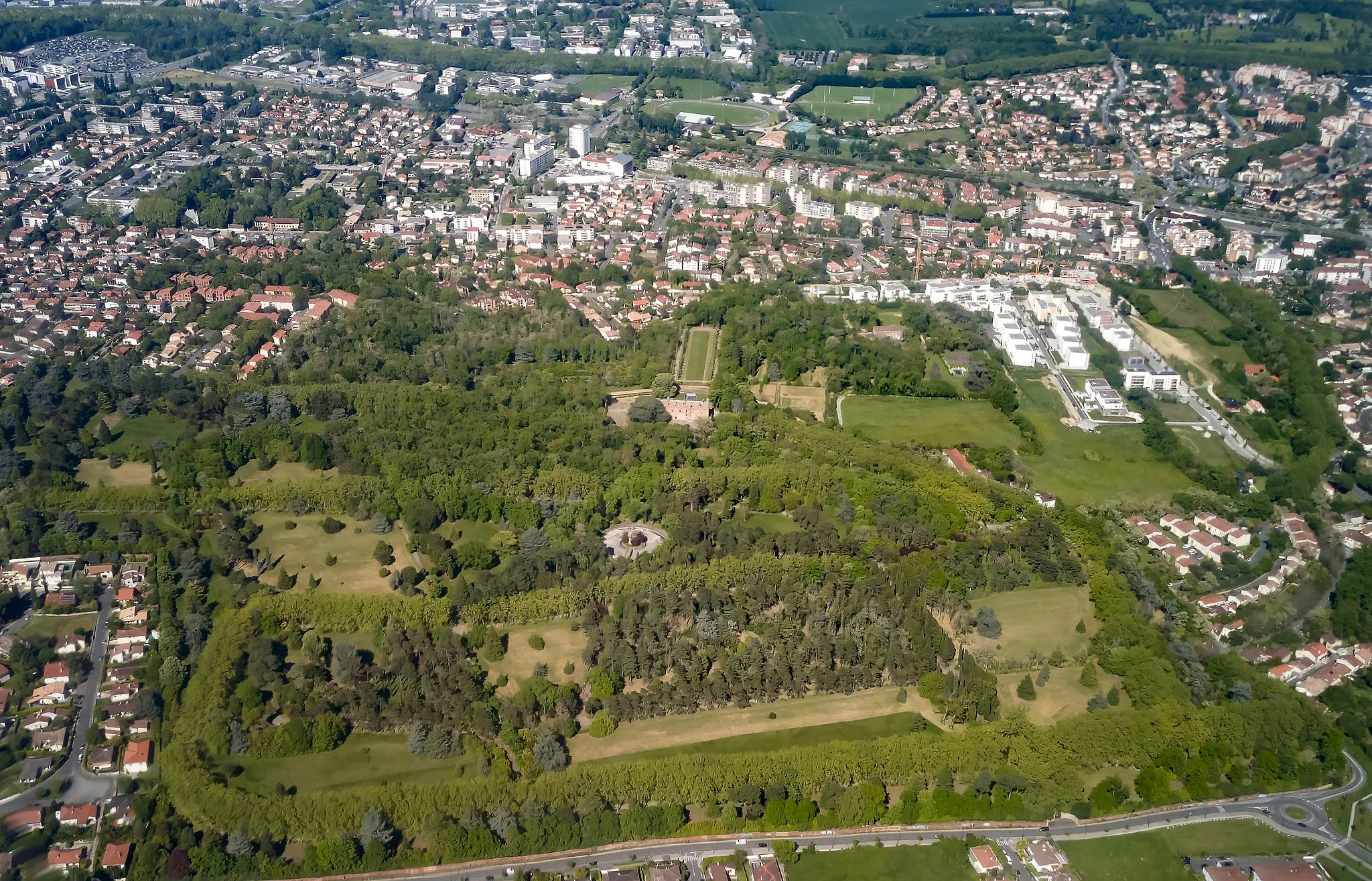
Start: Saint-Orens-de-Gameville City centerSaint-Orens-de-Gameville: Tranquil cycling in Midi-Pyrénées
Located in Midi-Pyrénées, France, Saint-Orens-de-Gameville is a cyclist-friendly locality that offers enjoyable road and gravel cycling opportunities. Cyclists can explore the charming countryside and ride along the well-paved roads that connect various scenic spots. While there are no famous cycling spots or well-known climbs in the immediate vicinity, Saint-Orens-de-Gameville provides a pleasant cycling experience with its peaceful surroundings and picturesque landscapes.6 km
6 km
Castanet-TolosanTownLocated in Castanet-Tolosan, make a stop at a local bakery to indulge in some freshly baked pastries.
14 km
14 km
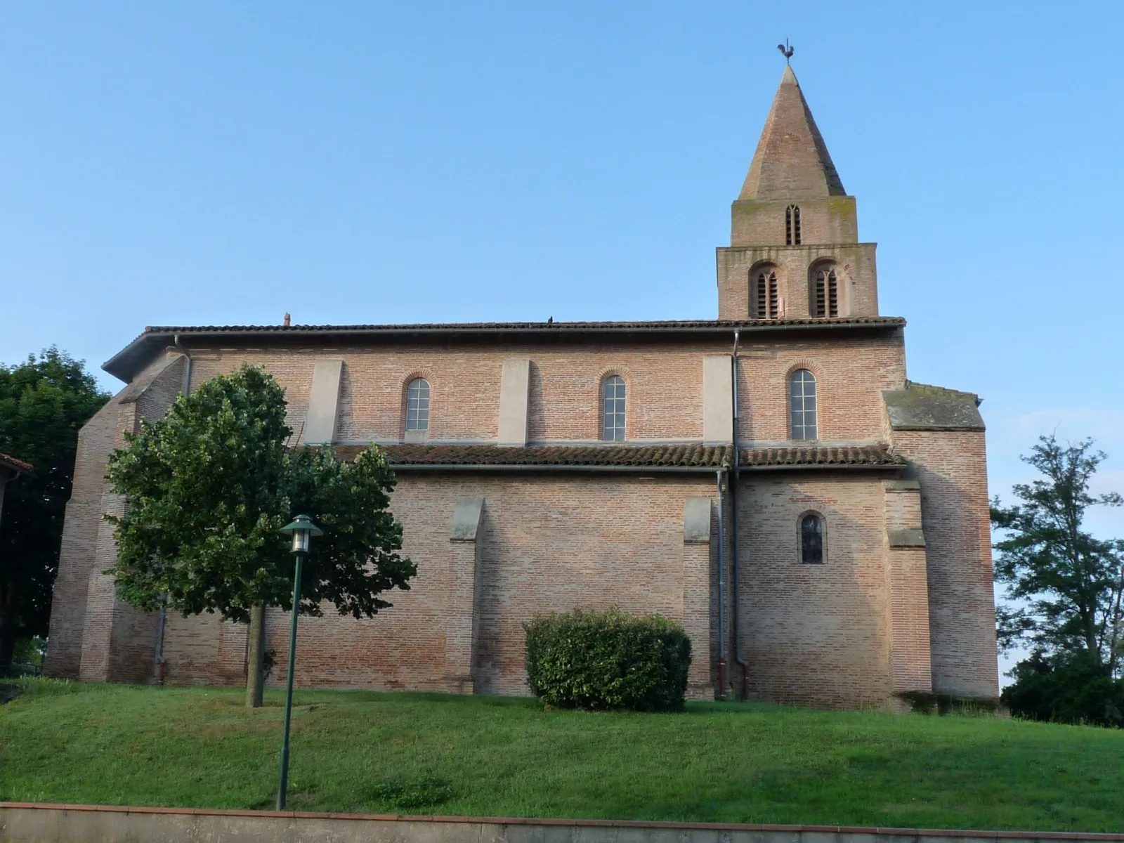
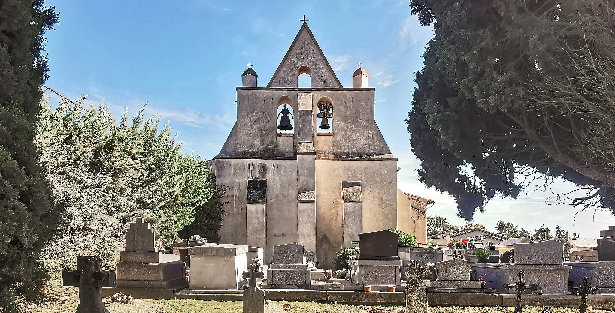
AurevilleVillageAureville offers beautiful views of the surrounding countryside.
28 km
28 km
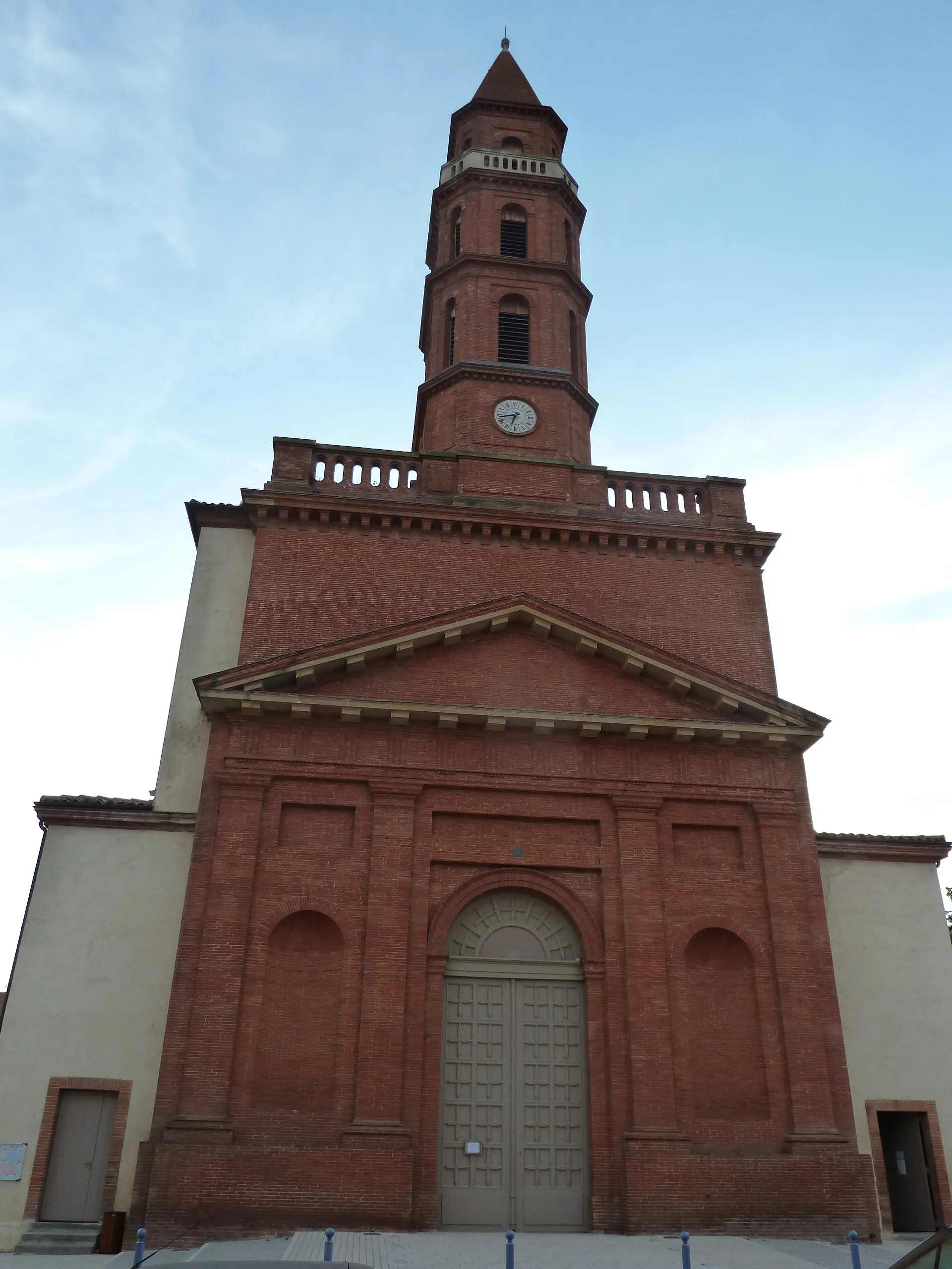
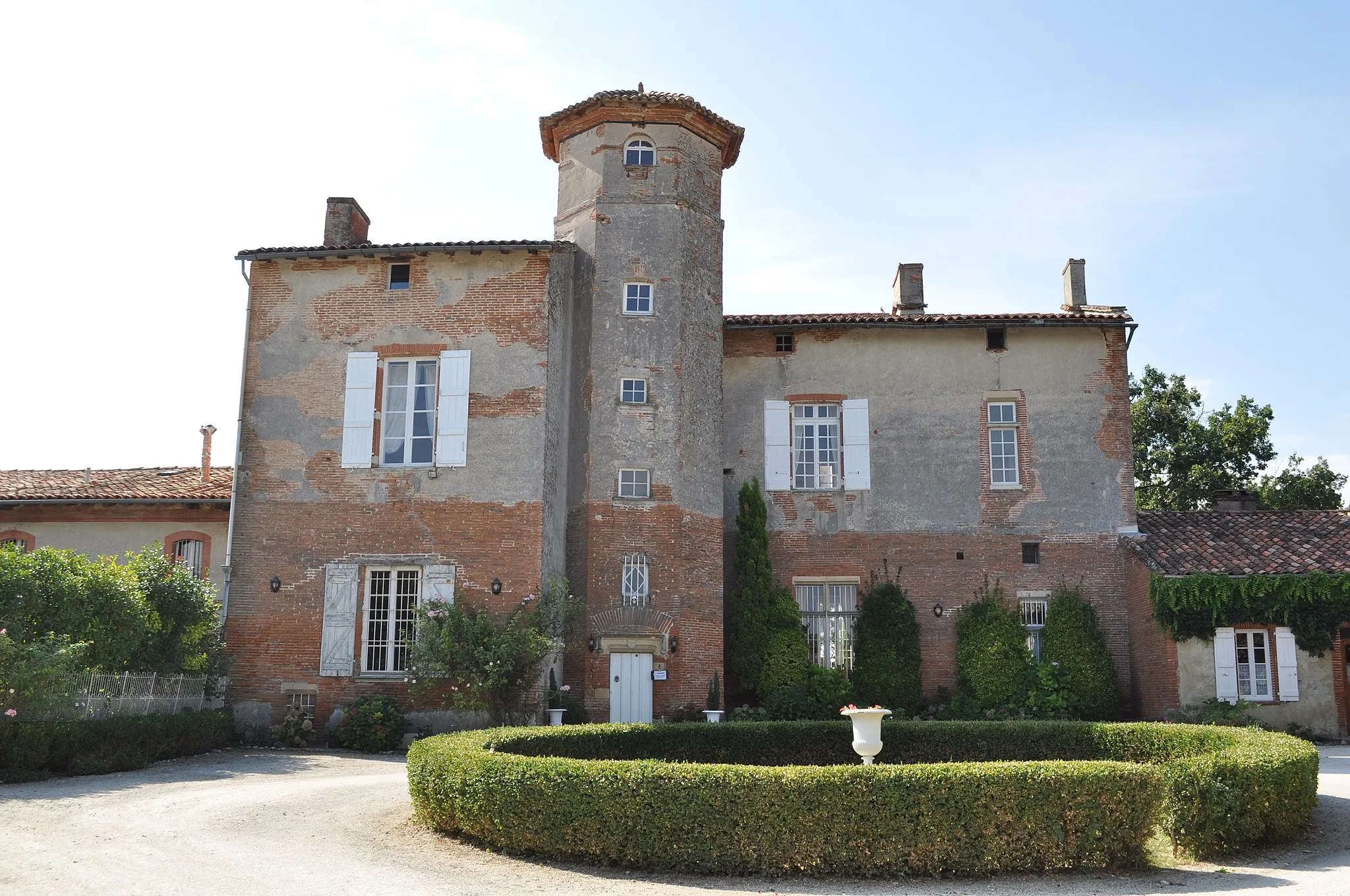
MuretTownMuret is a historic town with architectural gems.
47 km
47 km
FontenillesVillageFontenilles is known for its charming streets and traditional houses.
59 km
59 km
PibracVillagePibrac is a quaint town with a medieval center worth exploring.
71 km
71 km
Table d'orientationViewpoint93 km
93 km
Saint-Orens-de-GamevilleTownSaint-Orens-de-Gameville is the starting point for this route and offers a variety of cafes and restaurants to refuel during the ride.
94 km
94 km
Finish: Saint-Orens-de-Gameville City centerSaint-Orens-de-Gameville: Tranquil cycling in Midi-Pyrénées
Cycling routes from Saint-Orens-de-Gameville:
Cycling routes nearby: