Pyrenean Challenge
A road cycling route starting from Semeac
Conquer the heights of the Pyrenees on this challenging road cycling route
Map
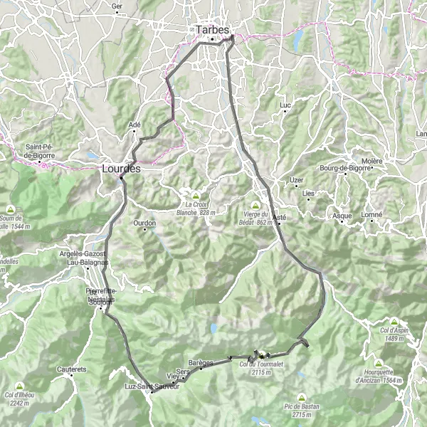
Prepare for a demanding journey through the Pyrenees with this 121-kilometer road cycling route. Experience the true essence of endurance as you tackle a total ascent of 2415 meters. From incredible viewpoints like Tâble d'orientation to iconic cycling spots such as La Mongie and Pic de Campana, this route promises an unforgettable adventure.
road
121 km
2415 m
Savage
Route profile
Highlights on the route
0 km
0 km
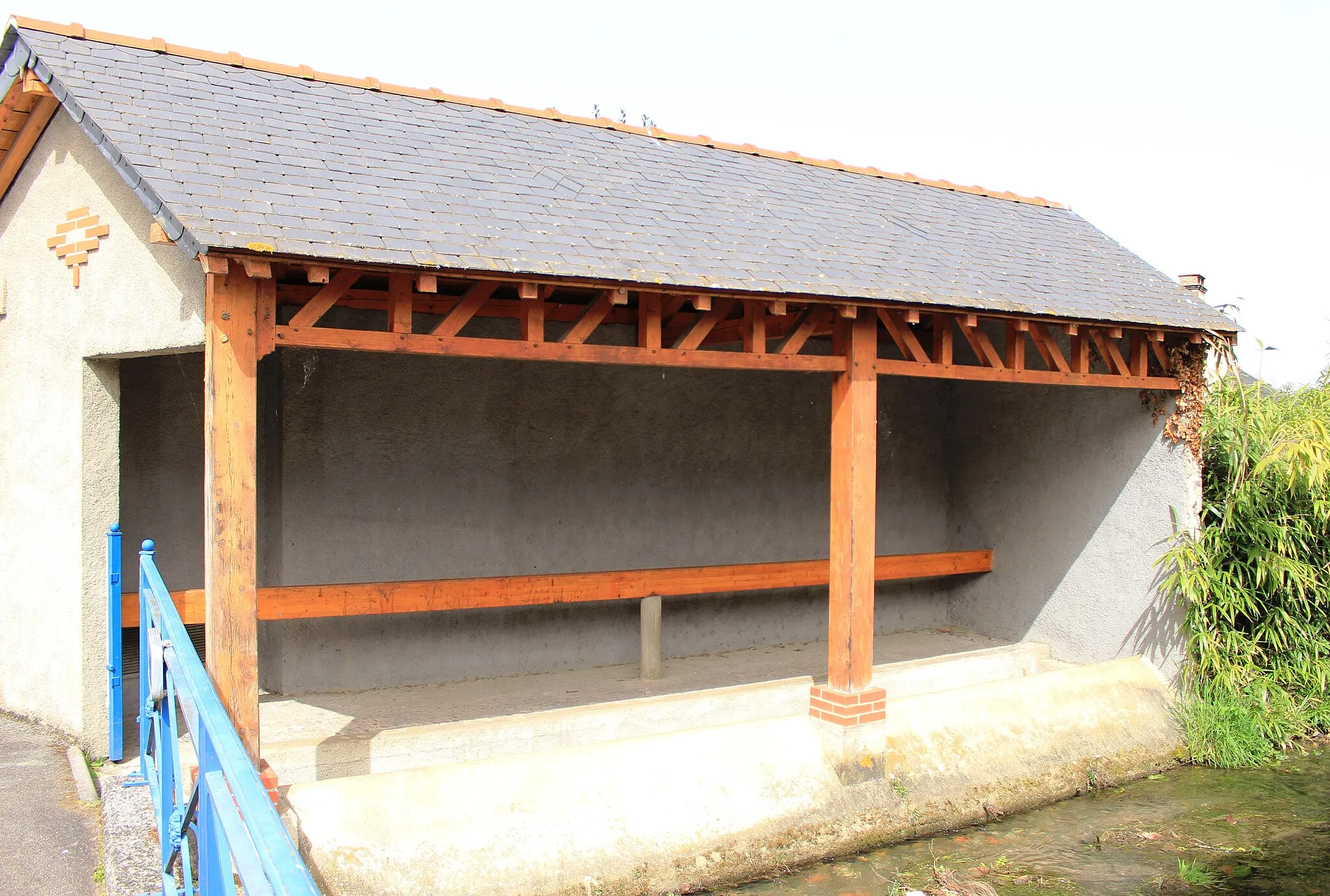
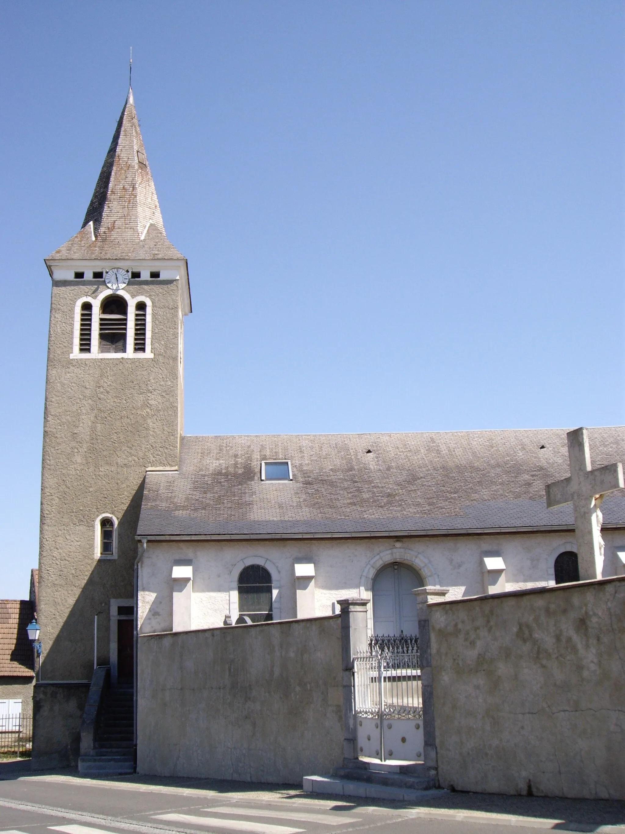
Start: Séméac Village centerSéméac: Conquering legendary climbs in the stunning Pyrenean landscapes of Séméac.
Séméac is a town situated in the Midi-Pyrénées region of France. As a road and gravel cyclist, Séméac offers various cycling routes that showcase the stunning Pyrenean landscapes. The roads are generally well-maintained and offer a mix of challenging climbs and scenic routes. A well-known climb nearby is the Col du Tourmalet, which is a legendary climb in the Tour de France. With its challenging terrain and breathtaking scenery, Séméac is a top destination for serious cyclists.2 km
2 km
Tâble d'orientationViewpointAt just 2 kilometers into the route, Tâble d'orientation offers breathtaking panoramic views of the Pyrenees and surrounding landscapes.
7 km
7 km
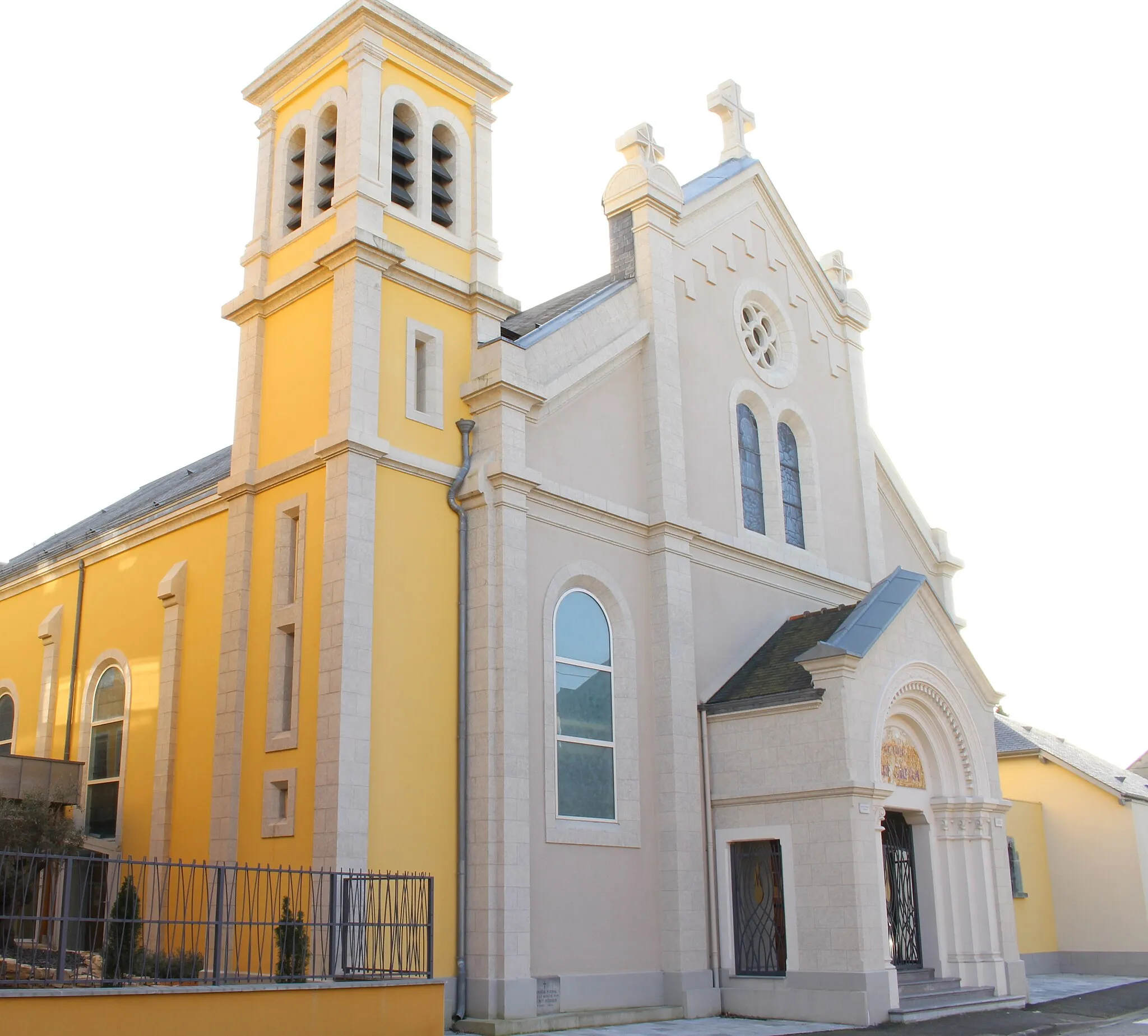
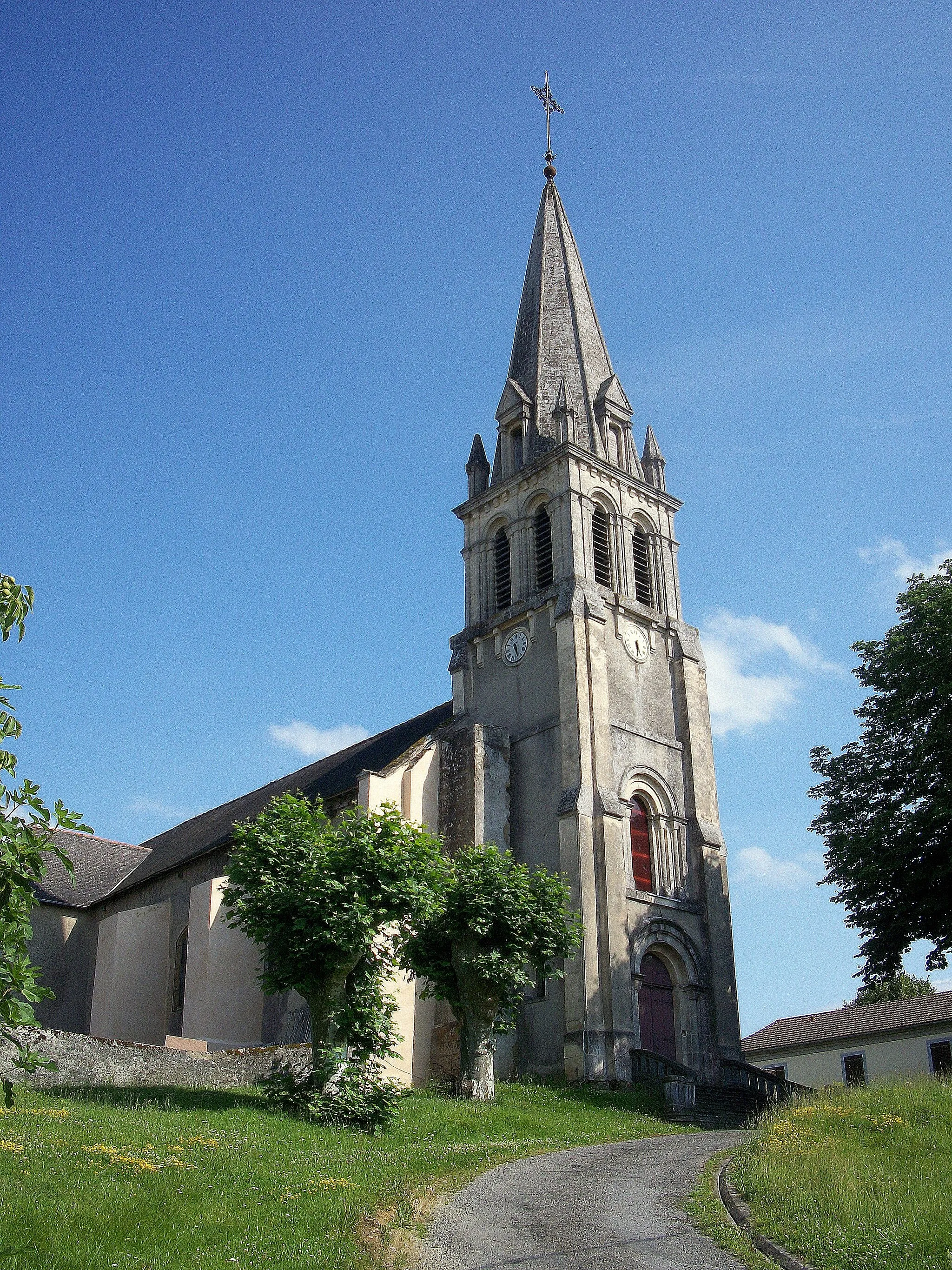
Bernac-DebatVillageLocated at the 7-kilometer mark, Bernac-Debat is a picturesque village that provides a peaceful respite along the challenging route.
20 km
20 km
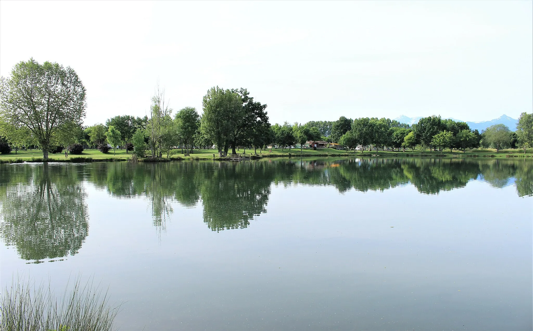
Bagnères-de-BigorreVillageBagnères-de-Bigorre, at approximately 20 kilometers into the route, is a renowned spa town known for its thermal baths and cycling culture.
43 km
43 km
Serpolet2113 mPeakSerpolet, found at the 43-kilometer mark, charms cyclists with its quaint streets and traditional architecture.
44 km
44 km
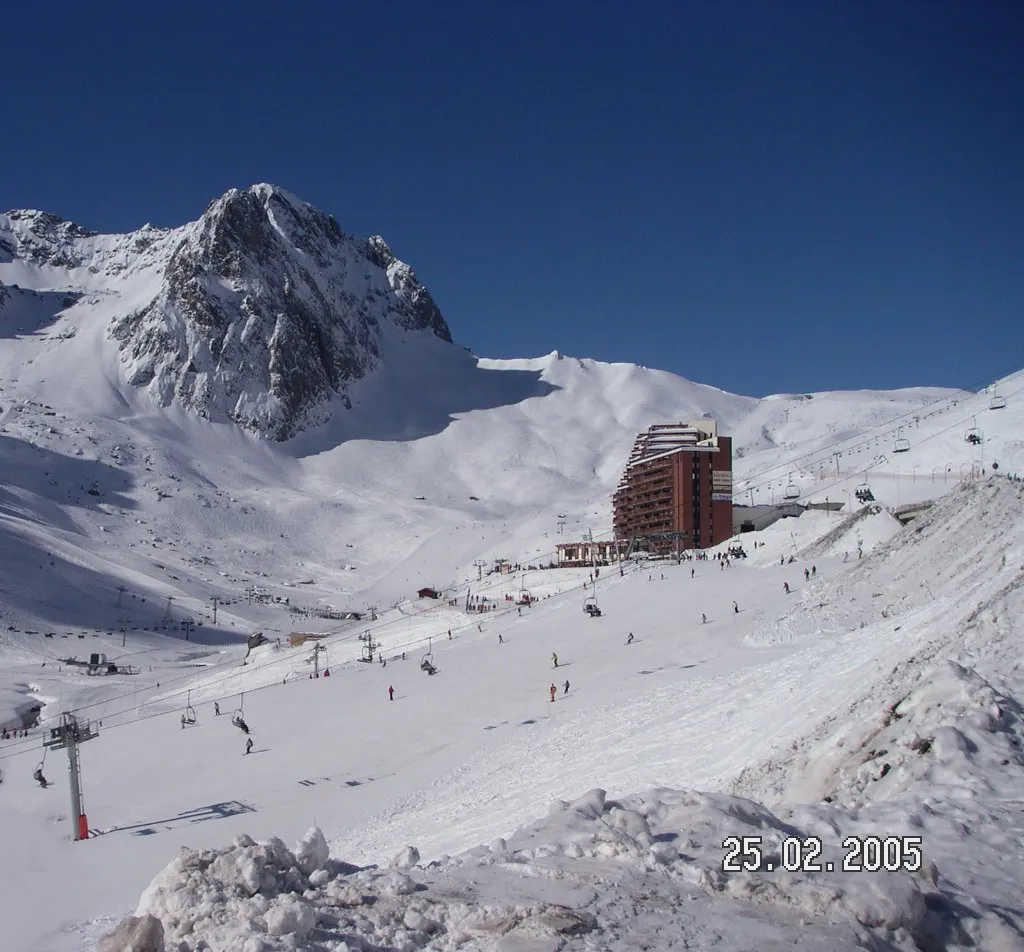
La MongieHamletLa Mongie, located at 44 kilometers into the route, is a legendary cycling destination and the starting point for ascending the Col du Tourmalet.
51 km
51 km
Pic de Campana2369 mPeakAs you approach the 51-kilometer mark, make sure to appreciate the stunning views from the summit of Pic de Campana.
66 km
66 km
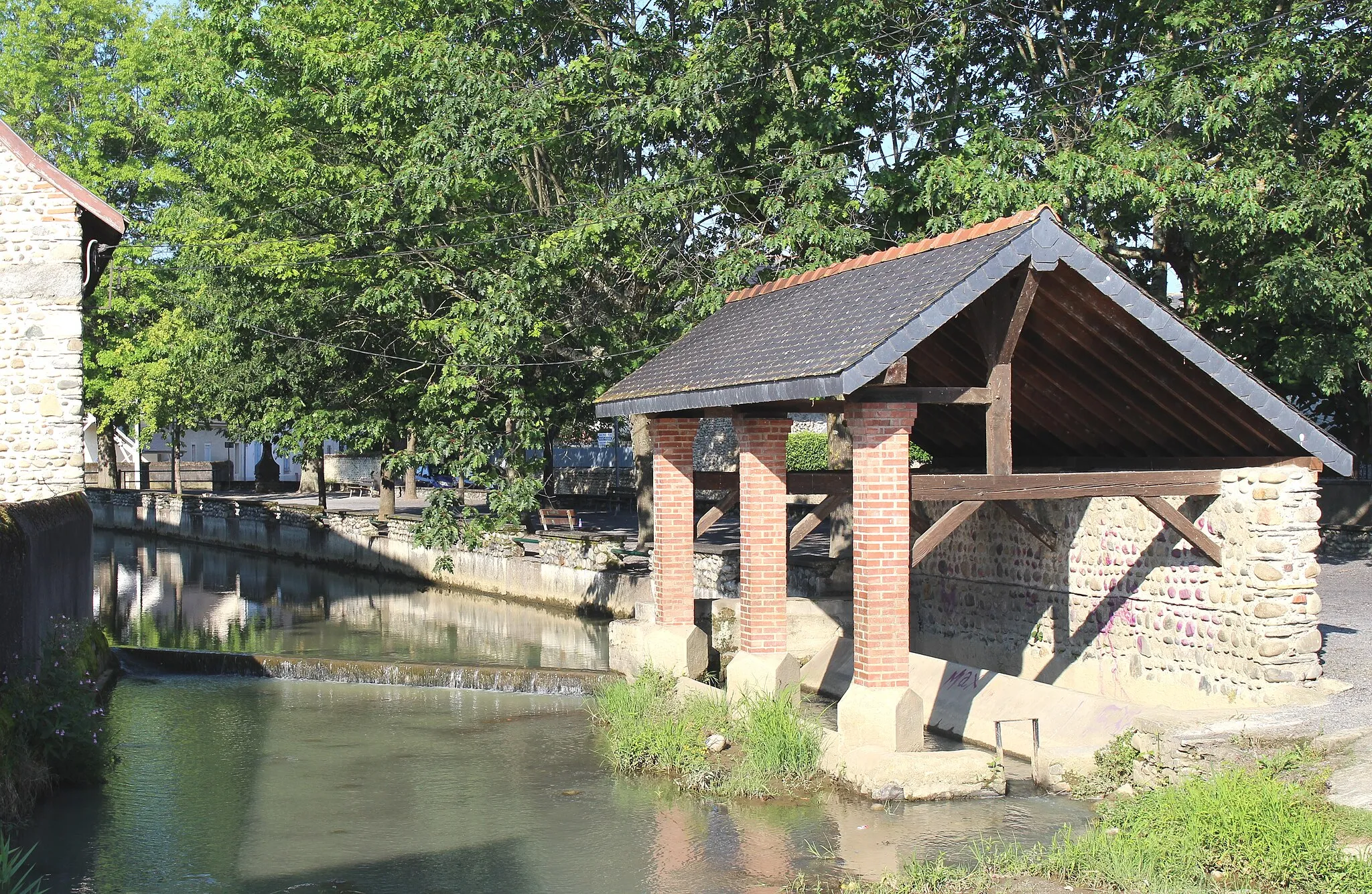
EsterreVillageEsterre, at 66 kilometers into the route, is a charming hamlet surrounded by beautiful countryside and mountainous landscapes.
85 km
85 km
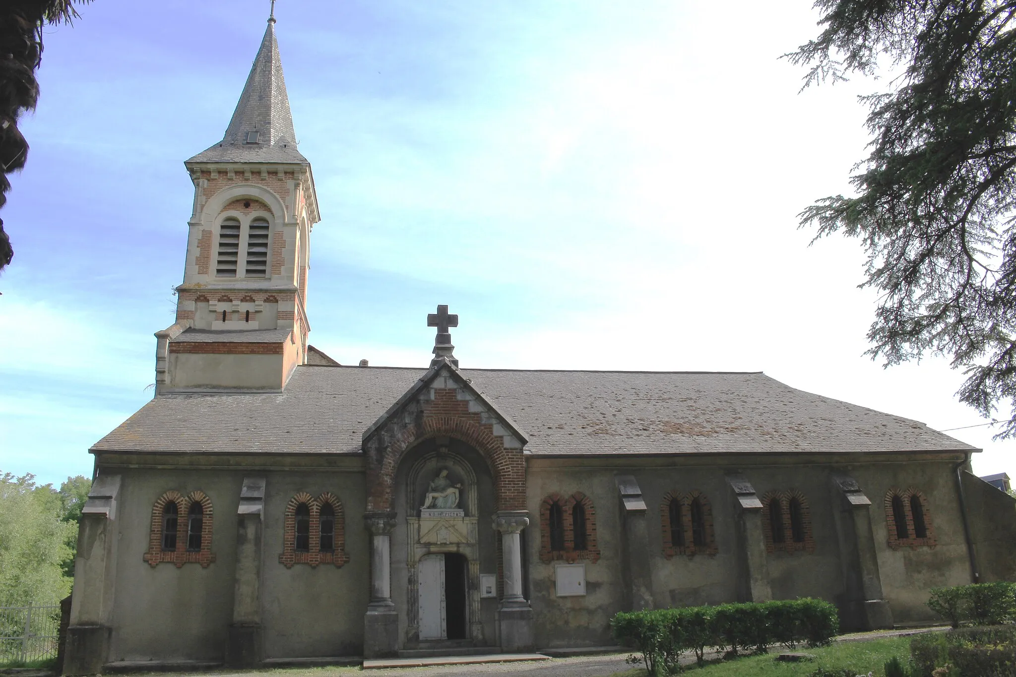
Ayros-ArbouixVillageAyros-Arbouix, found at the 85-kilometer mark, offers a peaceful ambiance with its traditional architecture and tranquil surroundings.
113 km
113 km
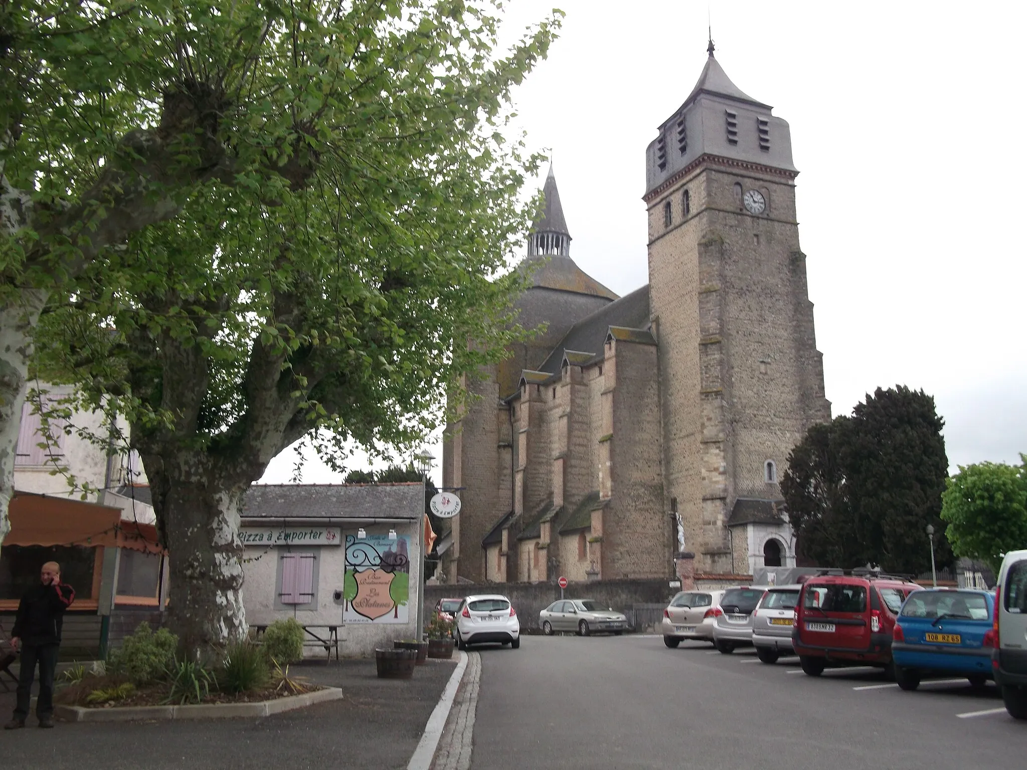
JuillanVillageJuillan, the final highlight before reaching the end of the route, showcases picturesque landscapes and traditional Pyrenean villages.
121 km
121 km
Finish: Séméac Village centerSéméac: Conquering legendary climbs in the stunning Pyrenean landscapes of Séméac.
Cycling routes nearby: