Cycling heaven in the Midi-Pyrénées region!
Cycling routes from Villefranche-de-Lauragais
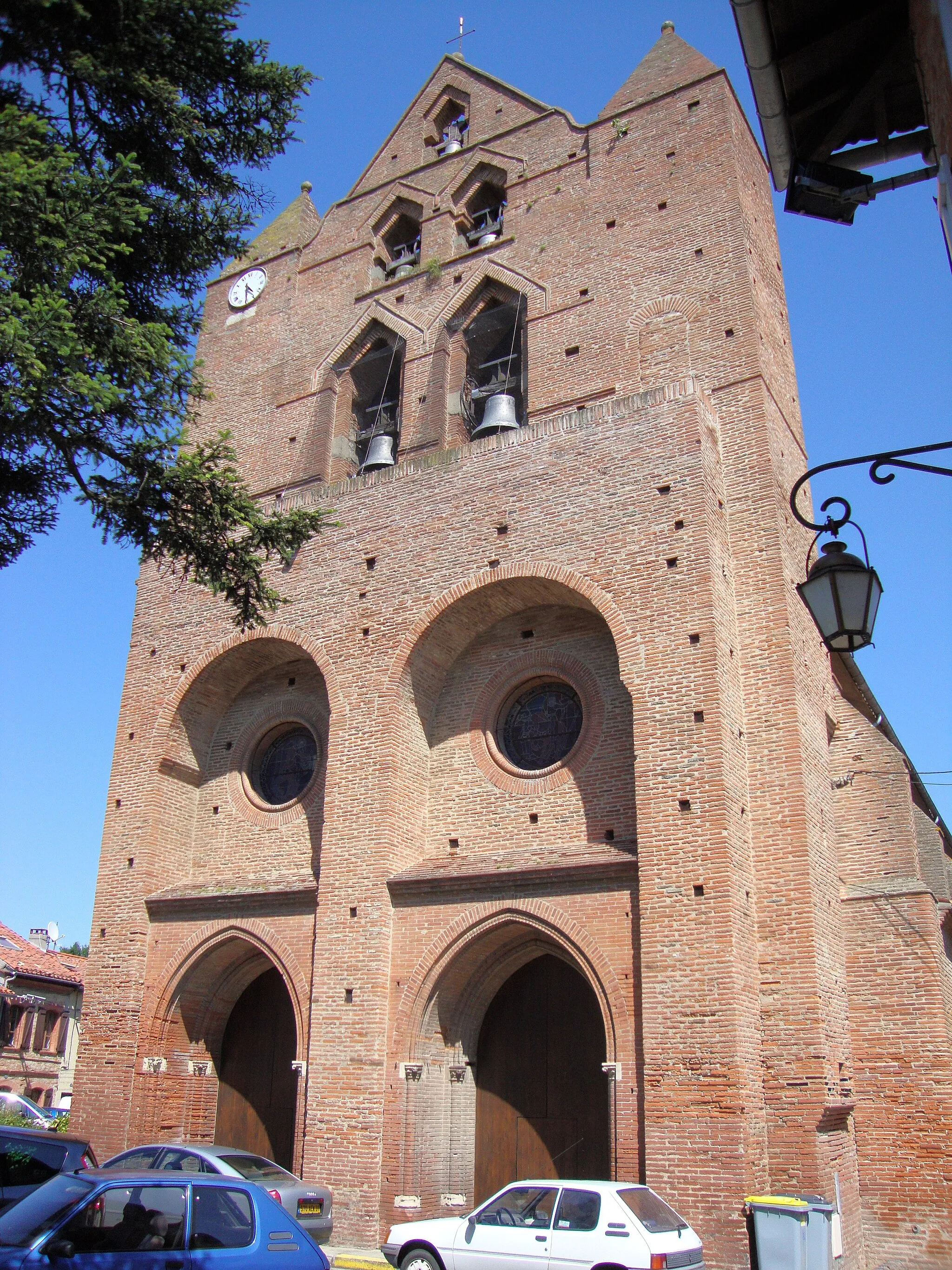
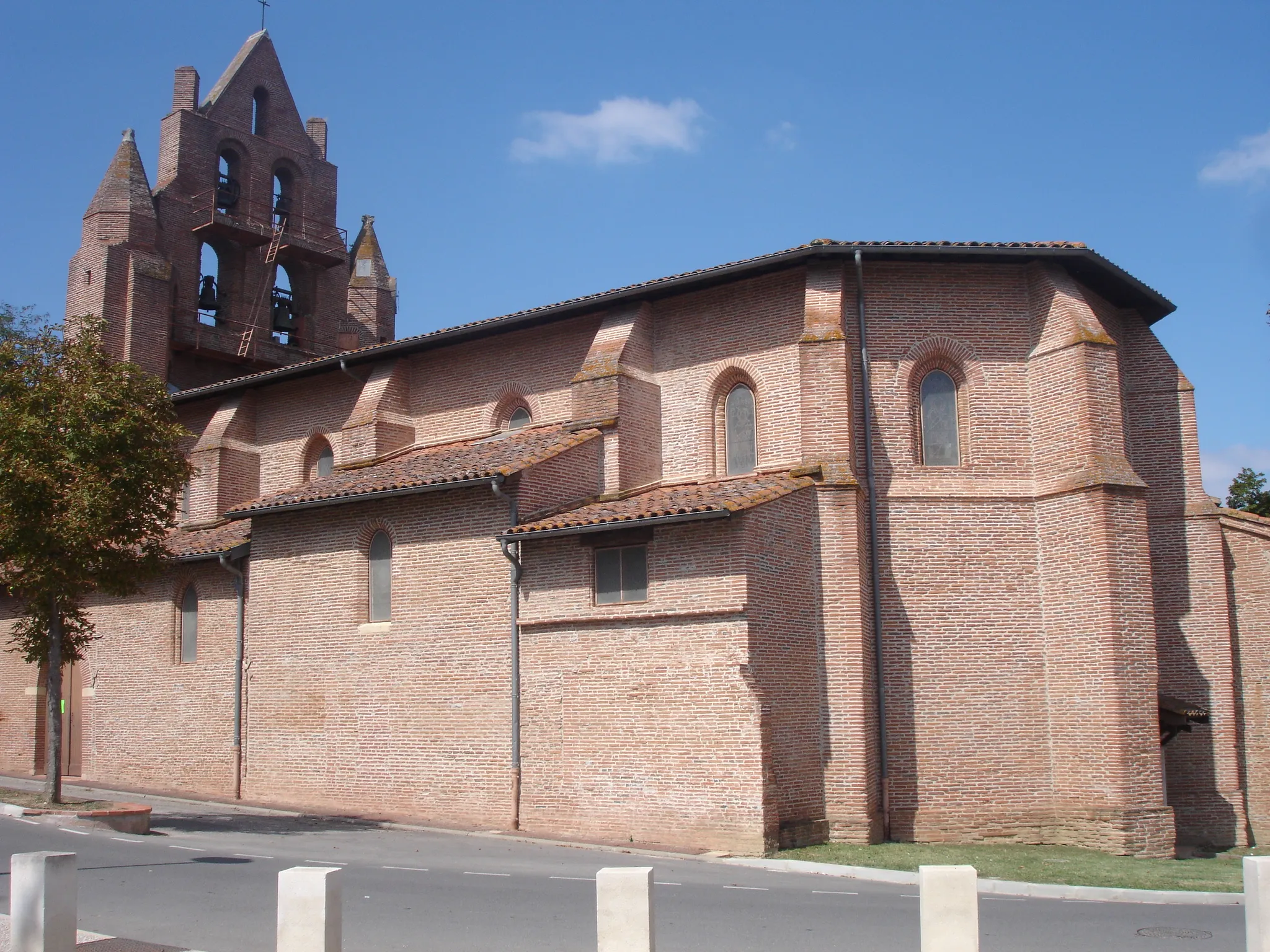
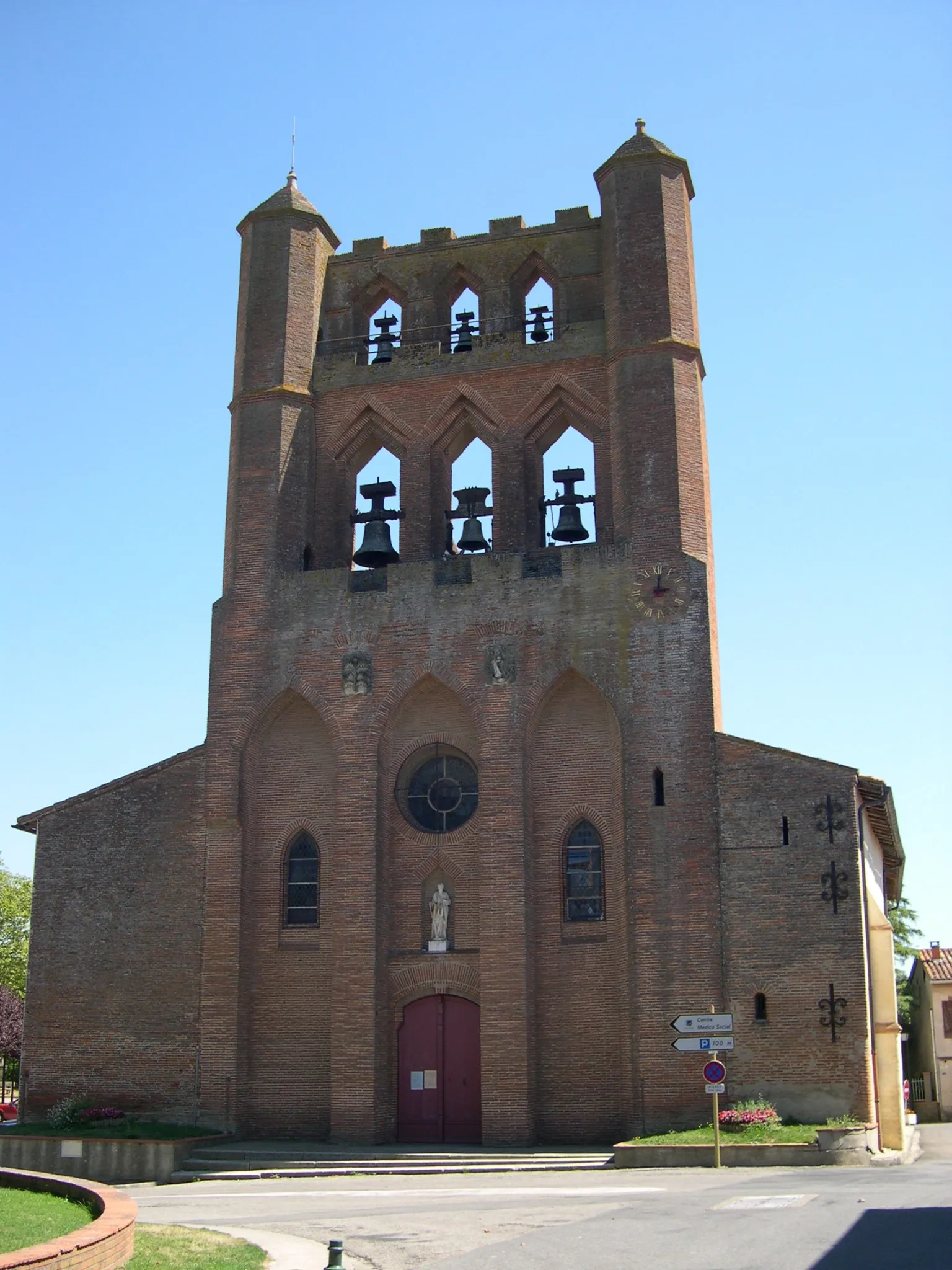
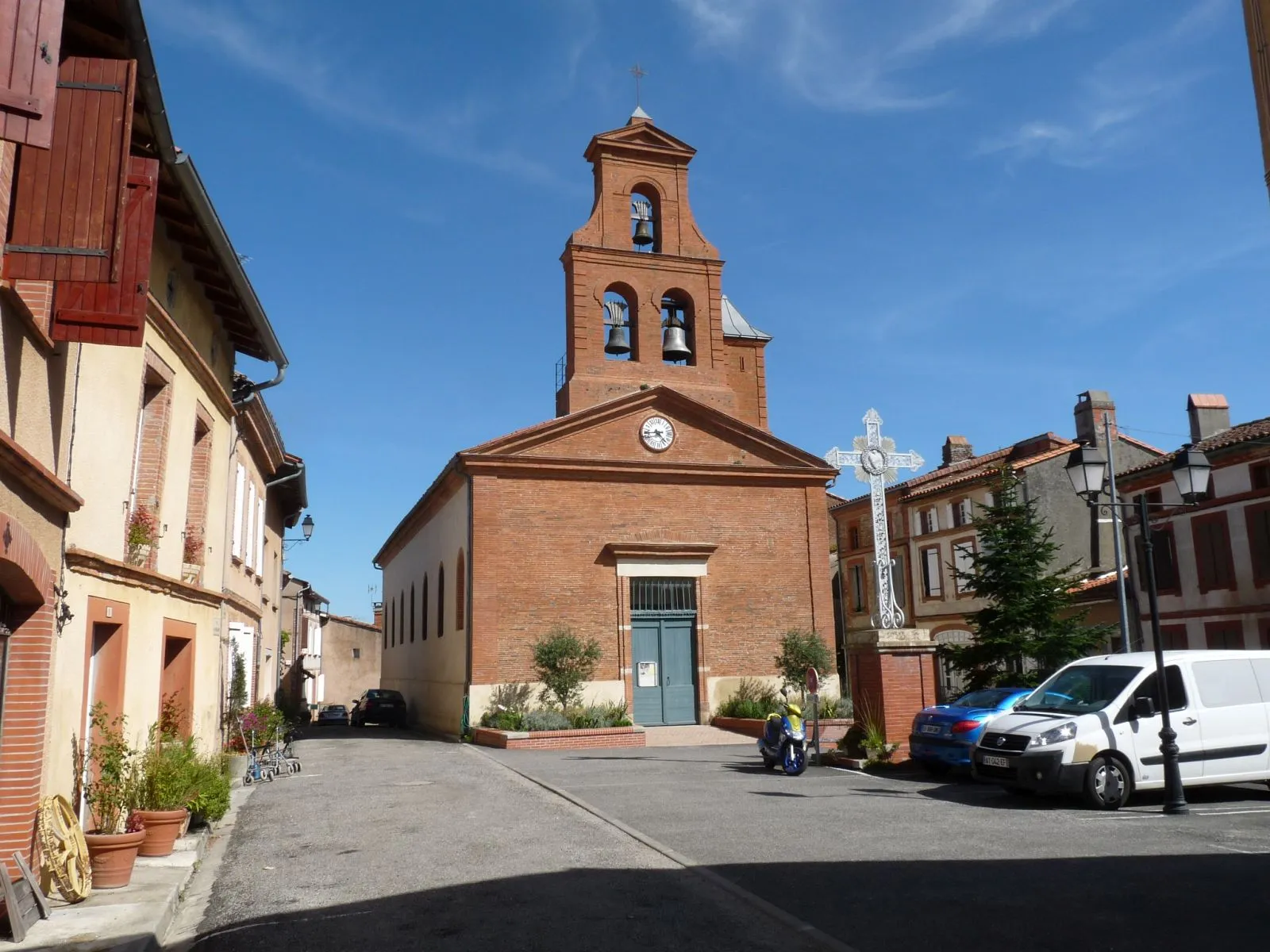
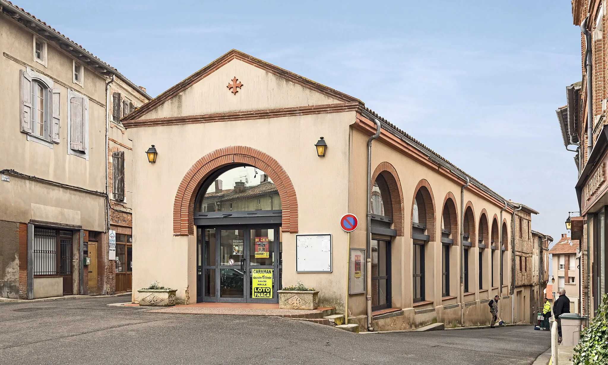
Villefranche-de-Lauragais is a charming town located in the Midi-Pyrénées region of France. As a road and gravel cyclist, you will find some great cycling opportunities in the surrounding area. The roads are well-maintained and there are several scenic routes to explore. Villefranche-de-Lauragais is also home to the legendary climb, Col de la Pierre Saint-Martin, which is a must-ride for any cycling enthusiast. The town itself offers a picturesque setting with beautiful architecture and a vibrant cycling community. Overall, this locality is a solid 4 on the cyclist perspective ranking.
A scenic ride through valleys and picturesque villages
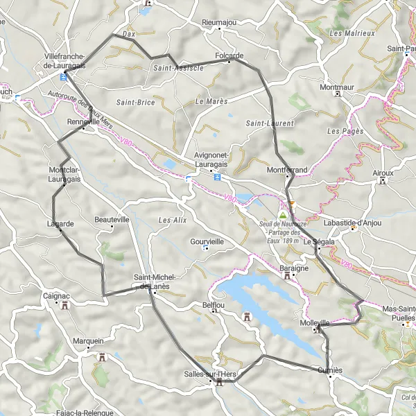
The Cumiès Circuit is a 49 km road cycling route that takes you through the beautiful valleys and charming villages surrounding Villefranche-de-Lauragais. Starting in the town center, you'll cycle through Montferrand, Cumiès, Saint-Michel-de-Lanès, and Renneville. Along the way, you'll pass through scenic landscapes, including rolling hills, vineyards, and expansive fields. The route offers opportunities to visit historic landmarks, such as the Château de Saint-Michel-de-Lanès.

A challenging ride through hilly terrain with beautiful views
The Mazères Challenge is a 112 km road cycling route that will test your climbing abilities. Starting in Villefranche-de-Lauragais, you'll ride through the rolling hills and valleys of the Lauragais region. Highlights along the way include the Vieux Pont de Mazères, a historical bridge, Saint-Martin-d'Oydes with its ancient church, and the charming village of Villeneuve-du-Latou. The route also takes you through Auterive, Noueilles, and Saint-Rome, offering picturesque views of the countryside.
Embark on a gravel adventure and experience the thrill of off-road cycling
If you're looking for an off-road cycling adventure, this gravel route to Mourvilles-Hautes is perfect for you. The route covers a distance of 64 kilometers and includes 402 meters of ascent. Along the way, you will ride through diverse landscapes, including forests and fields, and pass by quaint villages such as Fort de Les Casses and Renneville. The gravel terrain adds an extra challenge to the ride, making it suitable for experienced gravel riders. Enjoy the serene countryside and the sense of adventure that comes with exploring off the beaten path.
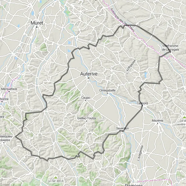
Experience a challenging ride with stunning countryside views
This road cycling route offers a challenging ride through the picturesque countryside from Villefranche-de-Lauragais to Lézat-sur-Lèze. Covering a distance of 133 kilometers and including 1469 meters of ascent, this loop is suitable for well-trained amateur cyclists who are looking for a more intense riding experience. Along the way, you will ride through charming villages such as Gardouch, Monestrol, and Latrape, each with its own unique attractions. The highlight of this route is the scenic ride along the Lèze River, offering stunning views of the surrounding countryside. Overall, this route provides a perfect mix of challenging climbs, beautiful landscapes, and cultural attractions.
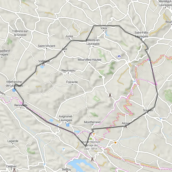
A scenic and moderate ride through picturesque villages
The Bélesta Adventure is a 54 km road cycling route that showcases the beauty of the Lauragais countryside. Starting near Villefranche-de-Lauragais, you'll pass through Vallègue, Bélesta-en-Lauragais, and Montferrand, offering picturesque views of vineyards, rolling hills, and traditional villages. The route also takes you through La Pomarède, Airoux, and Renneville, highlighting the charming rural landscapes of the region.

Embark on a challenging ride with picturesque views
This road cycling route takes you on a challenging journey from Villefranche-de-Lauragais to Saverdun. Covering a distance of 95 kilometers and including 851 meters of ascent, this loop offers a great workout for well-trained amateur cyclists. Along the way, you will pass by Marquein, Molandier, and Villeneuve-du-Paréage, each offering their own unique charm. The route also includes a stop at the Table d'orientation, where you can enjoy panoramic views of the surrounding countryside. The highlight of this route is the scenic ride along the Saverdun River, offering stunning views and a tranquil atmosphere.
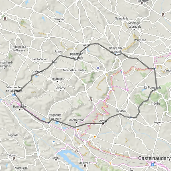
Enjoy a scenic ride through charming countryside and historic villages
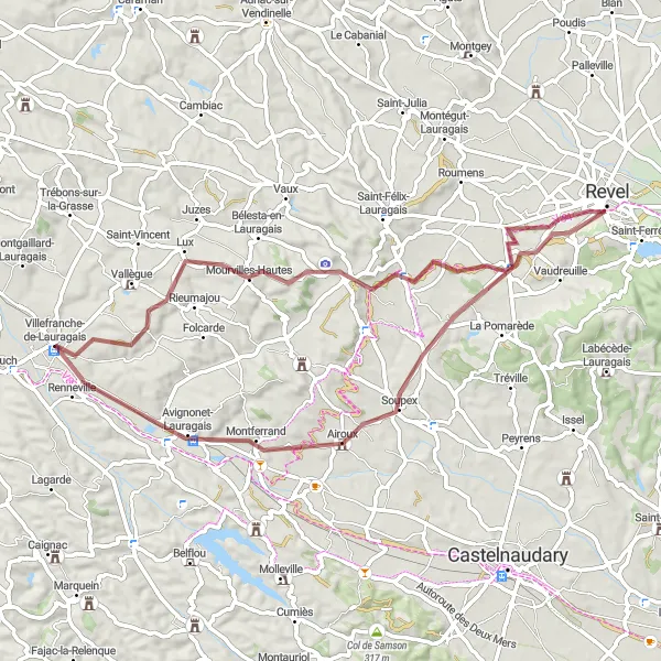
This road cycling route takes you on a scenic ride through the charming countryside from Villefranche-de-Lauragais to Avignonet-Lauragais. Covering a distance of 48 kilometers and including 386 meters of ascent, this loop is suitable for beginner and intermediate cyclists. Along the way, you will pass by picturesque villages such as Vallègue, Saint-Félix-Lauragais, and Soupex, each offering their own unique attractions. The highlight of this route is the beautiful medieval village of Avignonet-Lauragais, known for its well-preserved architecture and historic landmarks. Overall, this route provides a perfect mix of scenic landscapes, historical sites, and cultural attractions.
Gardouch Circuit
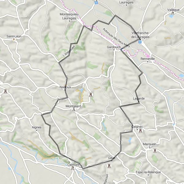
Picturesque countryside route along the Canal du Midi
This 50 km road cycling route takes you through the charming countryside near Villefranche-de-Lauragais. Starting in Gardouch, you'll ride along the scenic Canal du Midi, passing through the quaint villages of Caignac, Château, Nailloux, and Saint-Rome. The route offers beautiful views of rolling hills, vineyards, and historic landmarks.

Ride through charming villages and enjoy the beautiful countryside
This road cycling route takes you on a scenic journey through the picturesque countryside near Villefranche-de-Lauragais. You will pass by several charming villages, including Saint-Michel-de-Lanès, Fajac-la-Relenque, and Seyre. Along the way, you will also encounter the Col de la Louvière, offering a challenging climb and stunning views. The route covers a total distance of 79 kilometers and includes 841 meters of ascent. It is suitable for well-trained amateur cyclists.
Payra Ride

A challenging and rewarding route through diverse landscapes
The Payra Ride is a 97 km road cycling route that showcases the diverse landscapes near Villefranche-de-Lauragais. Starting in the town center, you'll ride through Les Cassés, Peyrens, Villasavary, Pech Donnadieu, and Payra-sur-l'Hers, offering magnificent views of hills, forests, and rivers. Highlights along the way include the Château des Cassés, the picturesque village of Villasavary, and the stunning Pech Donnadieu viewpoint. The route also takes you through Saint-Michel-de-Lanès and Renneville, where you can discover their medieval architecture.
Cycling routes nearby:

Nearby regions: