Gravel Adventure to Mourvilles-Hautes
A gravel cycling route starting from Villefranche-de-Lauragais
Embark on a gravel adventure and experience the thrill of off-road cycling
Map
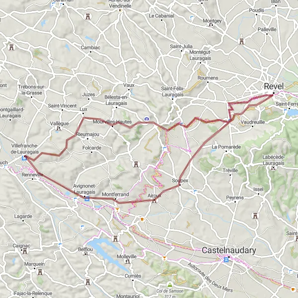
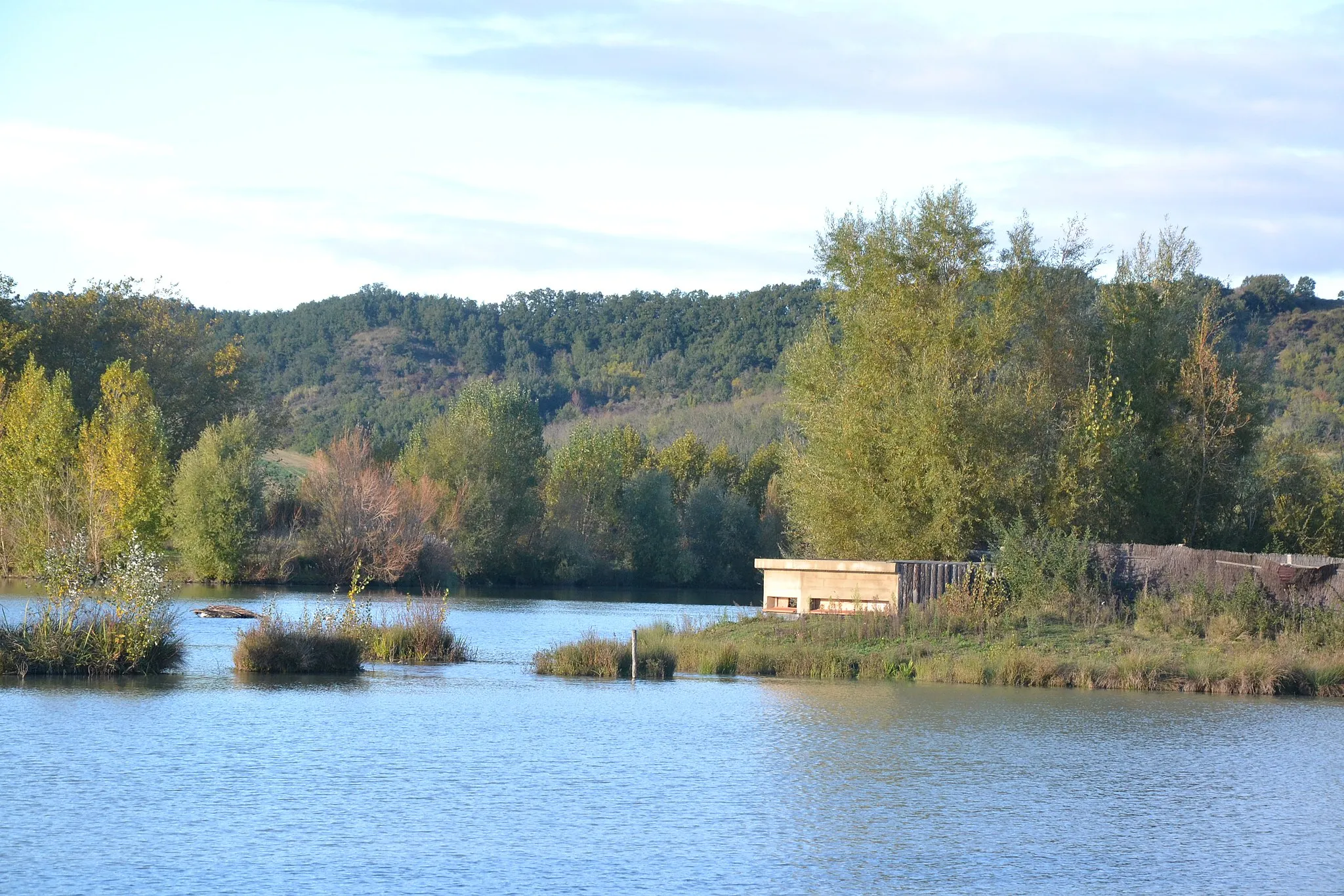
If you're looking for an off-road cycling adventure, this gravel route to Mourvilles-Hautes is perfect for you. The route covers a distance of 64 kilometers and includes 402 meters of ascent. Along the way, you will ride through diverse landscapes, including forests and fields, and pass by quaint villages such as Fort de Les Casses and Renneville. The gravel terrain adds an extra challenge to the ride, making it suitable for experienced gravel riders. Enjoy the serene countryside and the sense of adventure that comes with exploring off the beaten path.
gravel
64 km
402 m
Tough
Route profile
Highlights on the route
0 km
0 km
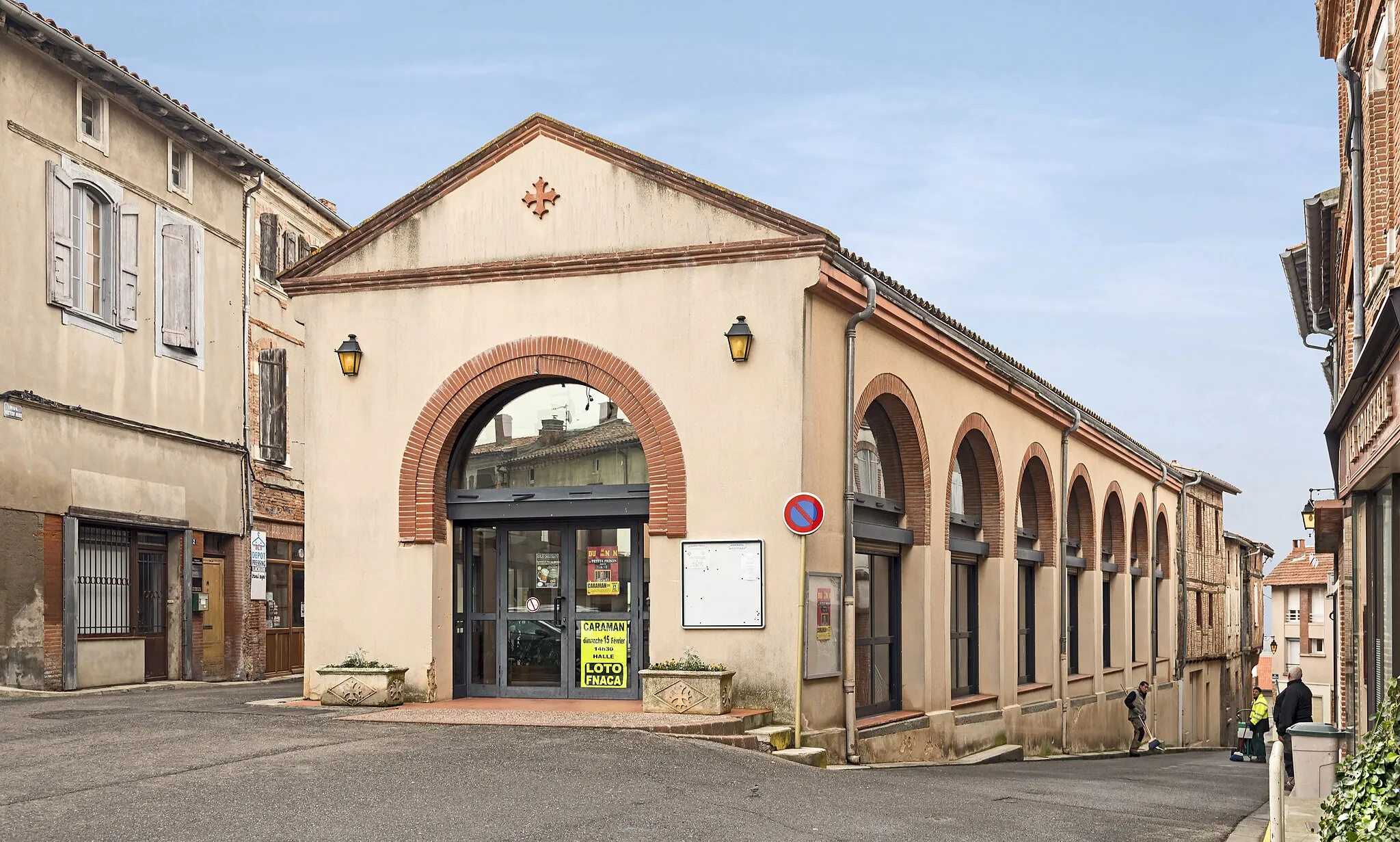
Start: Villefranche-de-Lauragais Village centerVillefranche-de-Lauragais: Cycling heaven in the Midi-Pyrénées region!
Villefranche-de-Lauragais is a charming town located in the Midi-Pyrénées region of France. As a road and gravel cyclist, you will find some great cycling opportunities in the surrounding area. The roads are well-maintained and there are several scenic routes to explore. Villefranche-de-Lauragais is also home to the legendary climb, Col de la Pierre Saint-Martin, which is a must-ride for any cycling enthusiast. The town itself offers a picturesque setting with beautiful architecture and a vibrant cycling community. Overall, this locality is a solid 4 on the cyclist perspective ranking.11 km
11 km
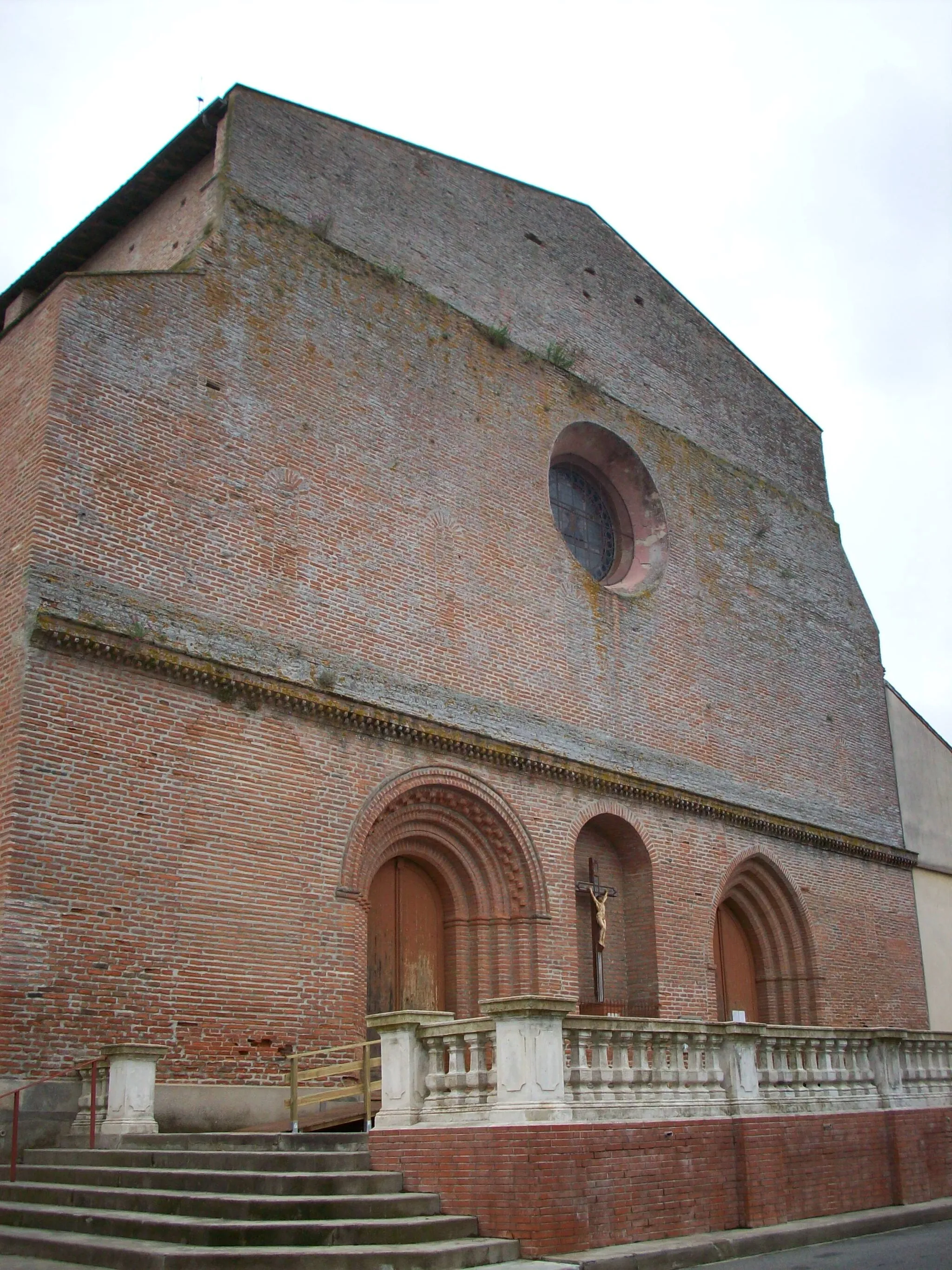
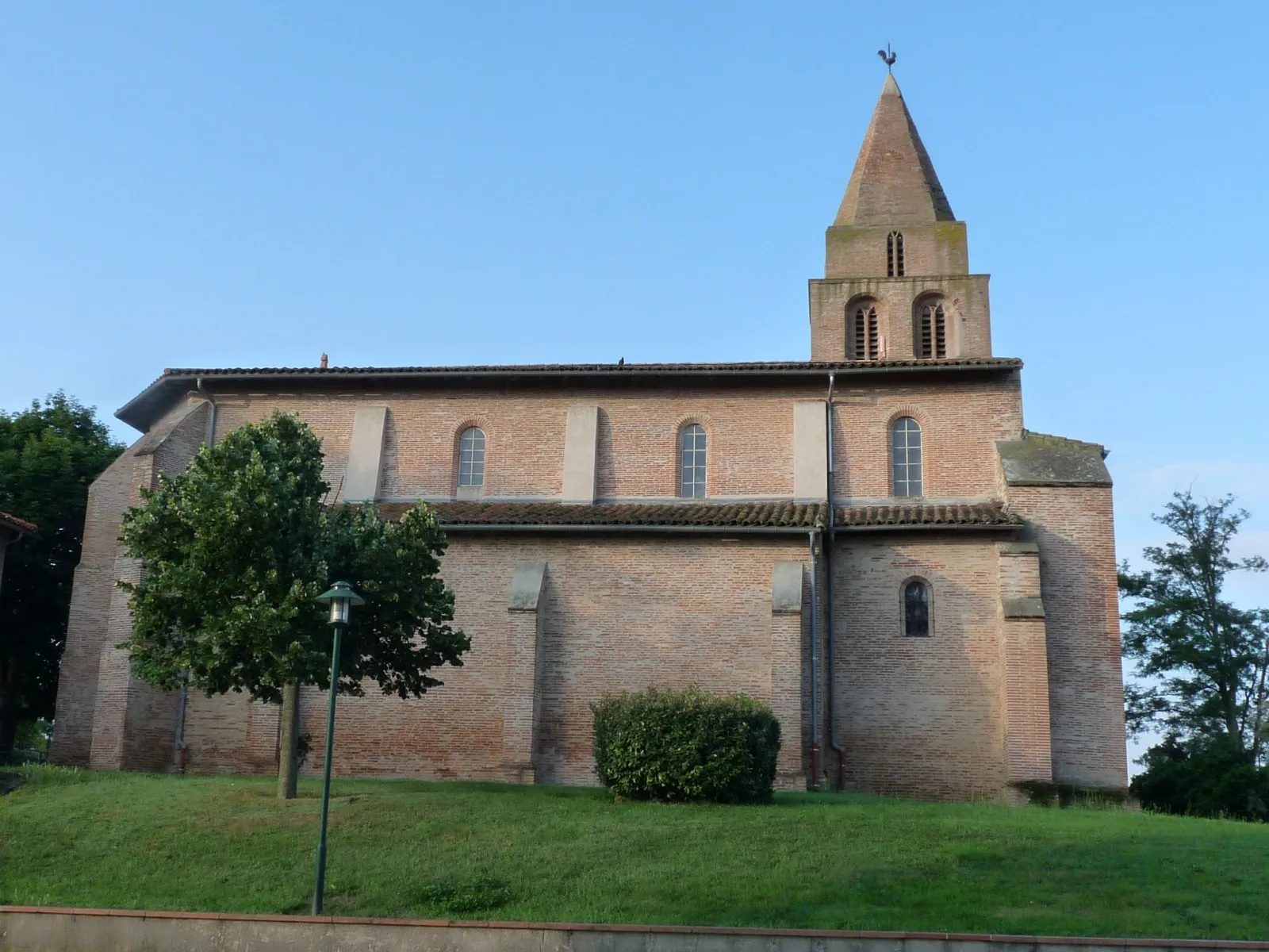
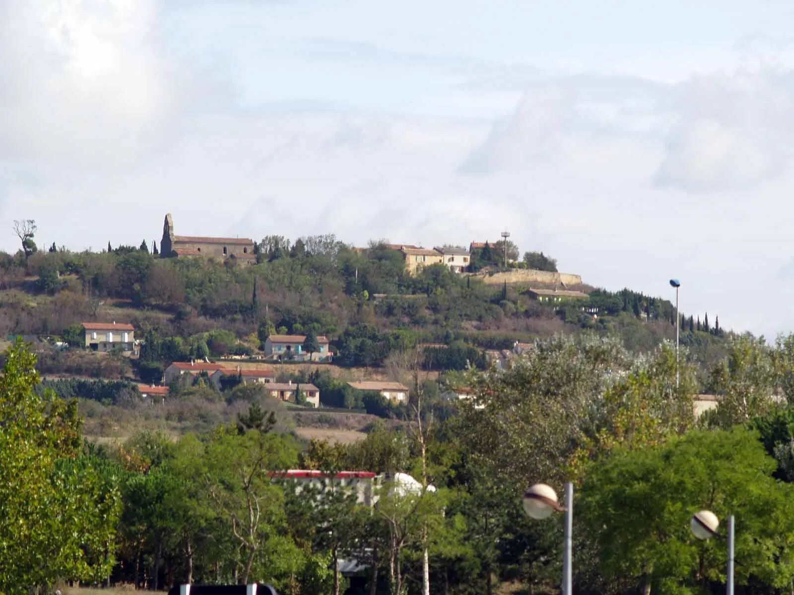
Mourvilles-HautesVillageVisit the village of Mourvilles-Hautes and discover its peaceful atmosphere and charming architecture.
17 km
17 km
Fort de Les CassesCastle RuinsPass by the historic Fort de Les Casses and learn about its fascinating past.
49 km
49 km
AirouxVillageRide through the scenic village of Airoux and take in the beautiful views of the surrounding countryside.
53 km
53 km
MontferrandVillage ViewpointCycle through Montferrand and marvel at its medieval castle ruins.
62 km
62 km
RennevilleVillageExplore the village of Renneville and enjoy its tranquil atmosphere and stunning natural surroundings.
64 km
64 km
Finish: Villefranche-de-Lauragais Village centerVillefranche-de-Lauragais: Cycling heaven in the Midi-Pyrénées region!
Cycling routes from Villefranche-de-Lauragais:
Gardouch Circuit Villefranche-de-Lauragais to Avignonet-Lauragais Loop Bélesta Adventure Gravel Adventure to Mourvilles-Hautes Payra Ride Villefranche-de-Lauragais to Saverdun Loop Cumiès Circuit Mazères Challenge Villefranche-de-Lauragais to Saint-Michel-de-Lanès Loop Villefranche-de-Lauragais to Lézat-sur-Lèze Loop
Cycling routes nearby: