Tour d'Ostrevant
A gravel cycling route starting from Saulzoir
Explore the picturesque Ostrevant region
Map
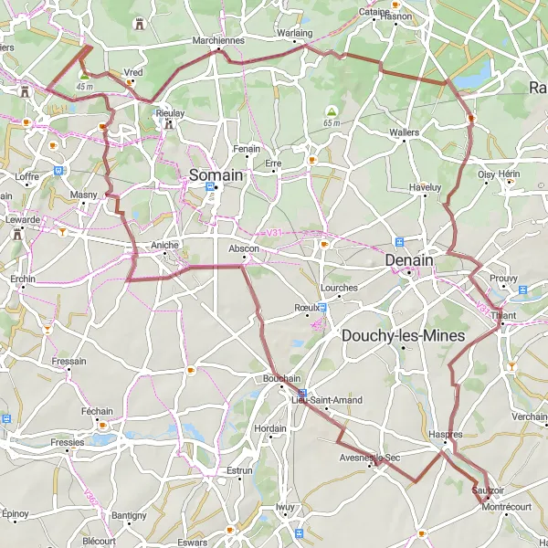
Discover the beautiful Ostrevant region on this 80 km gravel route. With a total ascent of 202m, this route offers a moderate challenge and is suitable for experienced cyclists. The highlights along the route include the Tour d'Ostrevant, a scenic birdwatching viewpoint, the charming town of Pecquencourt, and the picturesque Ponton. Overall, this route provides a unique cycling experience through the stunning countryside of Nord-Pas de Calais.
gravel
80 km
202 m
Tough
Route profile
Highlights on the route
0 km
0 km
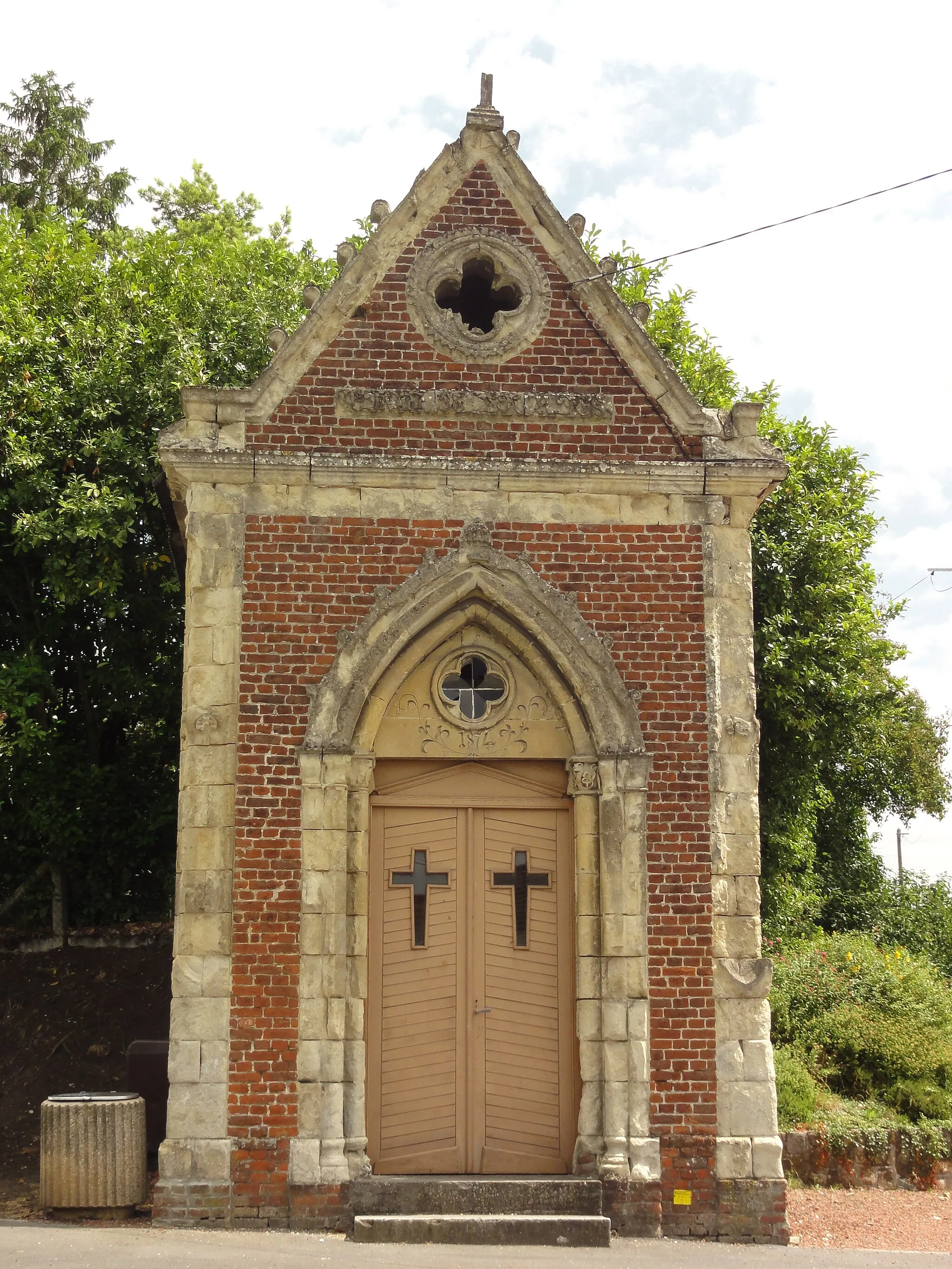
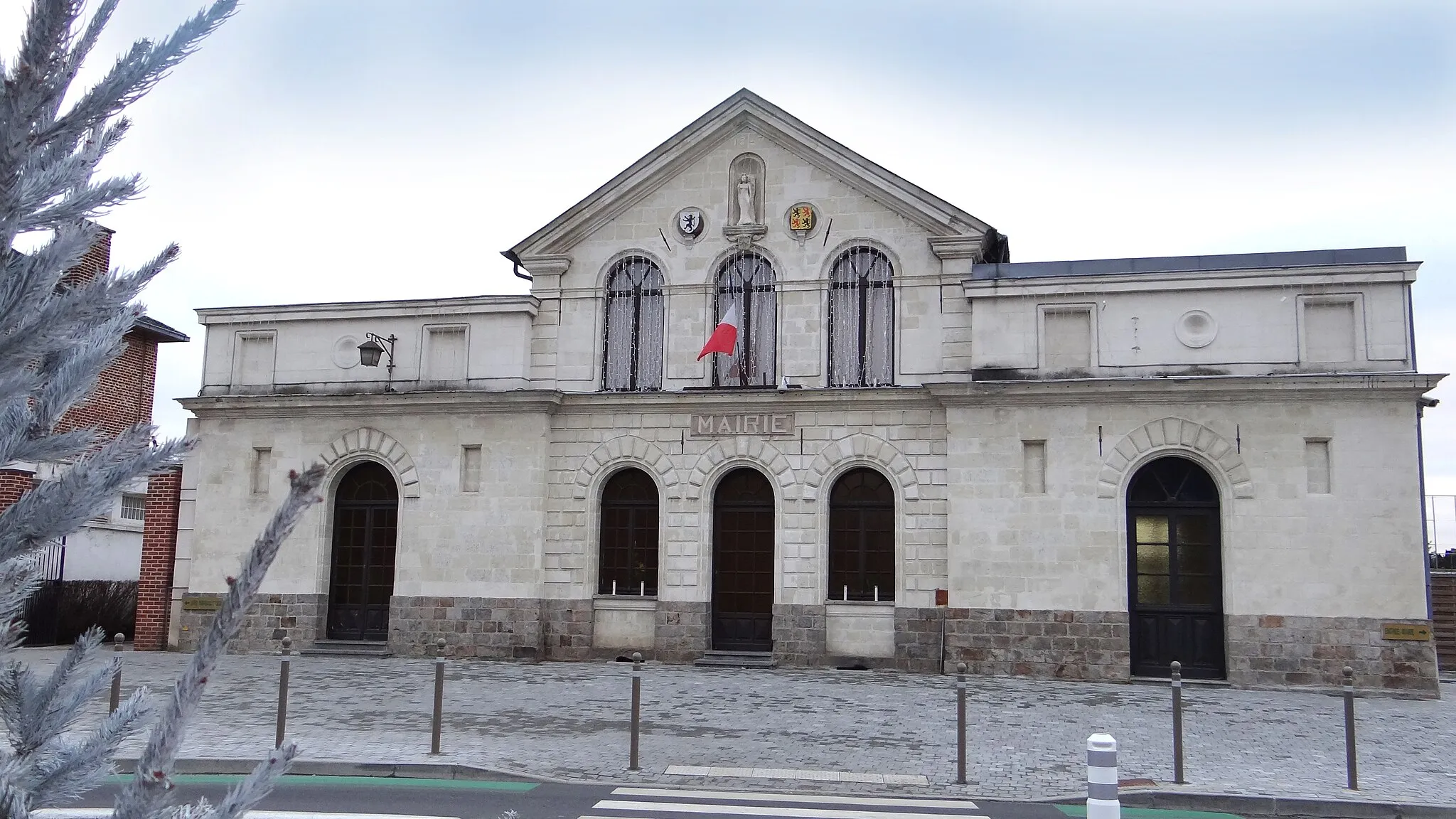
Start: Saulzoir Village centerSaulzoir: Explore the roads and trails of Saulzoir, including the iconic Cote du Connangles climb.
Saulzoir is a small town situated in the Nord-Pas de Calais region of France. From a cyclist's perspective, the area around Saulzoir offers a mix of road and gravel cycling options. The roads in this locality are generally well-maintained and ideal for riders of all levels. There are also some gravel paths and trails that traverse the nearby countryside, offering a more adventurous riding experience. A well-known climb nearby is the Cote du Connangles, a moderately challenging ascent that rewards cyclists with beautiful views at the top.13 km
13 km
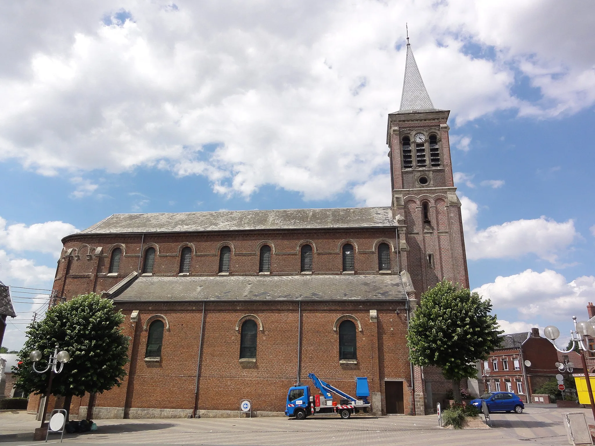
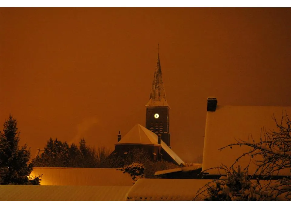
Tour d'OstrevantCastleThe Tour d'Ostrevant is a must-see highlight, offering panoramic views of the surrounding countryside.
26 km
26 km
Point de vue ornithologiqueViewpointStop by the ornithological viewpoint for a chance to spot rare bird species in their natural habitat.
31 km
31 km
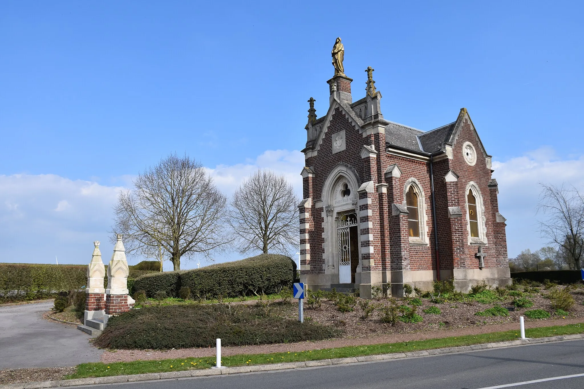
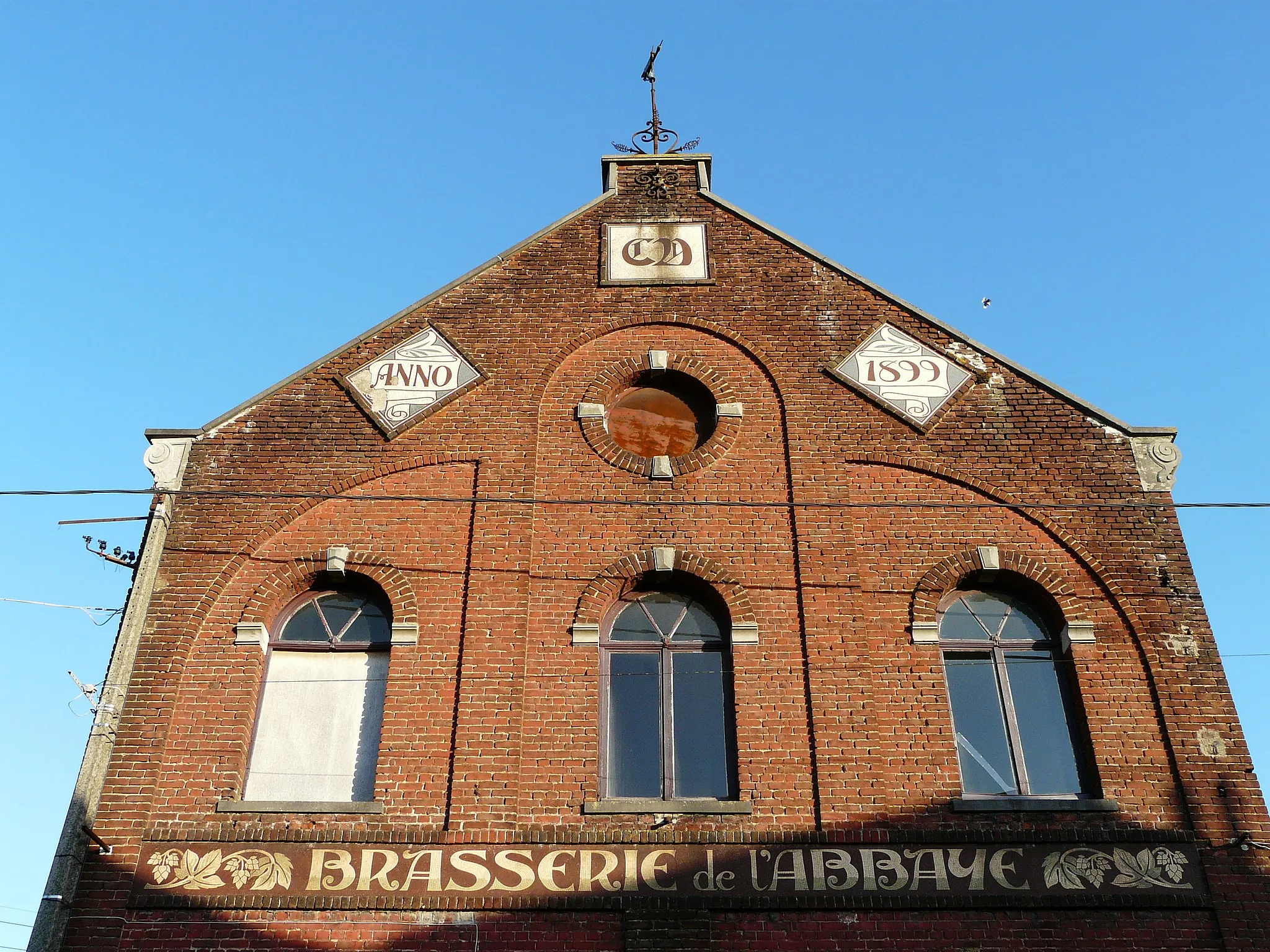
PecquencourtVillageVisit the charming town of Pecquencourt and explore its historic streets and local attractions.
42 km
42 km
PontonViewpointTake a break at the Ponton and enjoy the tranquil atmosphere and beautiful views of the water.
46 km
46 km
MarchiennesVillageDiscover the peaceful town of Marchiennes and its interesting architecture and cultural heritage.
61 km
61 km
BellaingVillageMake a stop at Bellaing, known for its stunning landscapes and charming atmosphere.
70 km
70 km
ThiantVillagePass through Thiant, a quaint village with unique historical sites and cultural landmarks.
80 km
80 km
Finish: Saulzoir Village centerSaulzoir: Explore the roads and trails of Saulzoir, including the iconic Cote du Connangles climb.
Cycling routes from Saulzoir:
Cycling routes nearby: