The Loire Caves Route
A gravel cycling route starting from Le Fuilet
Explore the underground wonders of the Loire region on this fascinating cycling route
Map
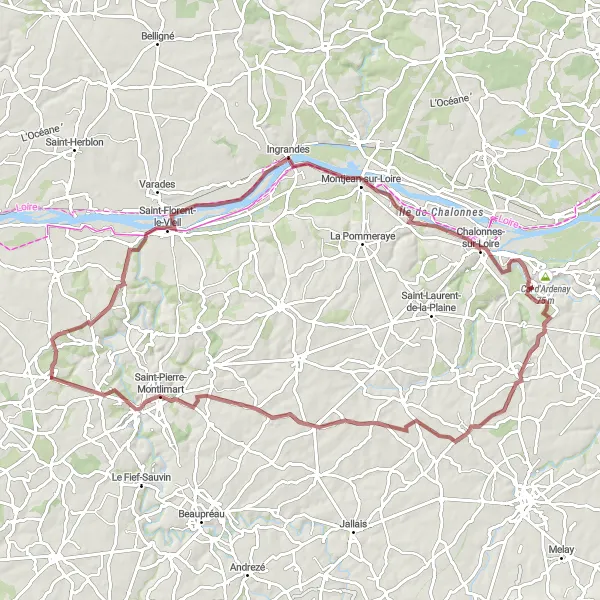
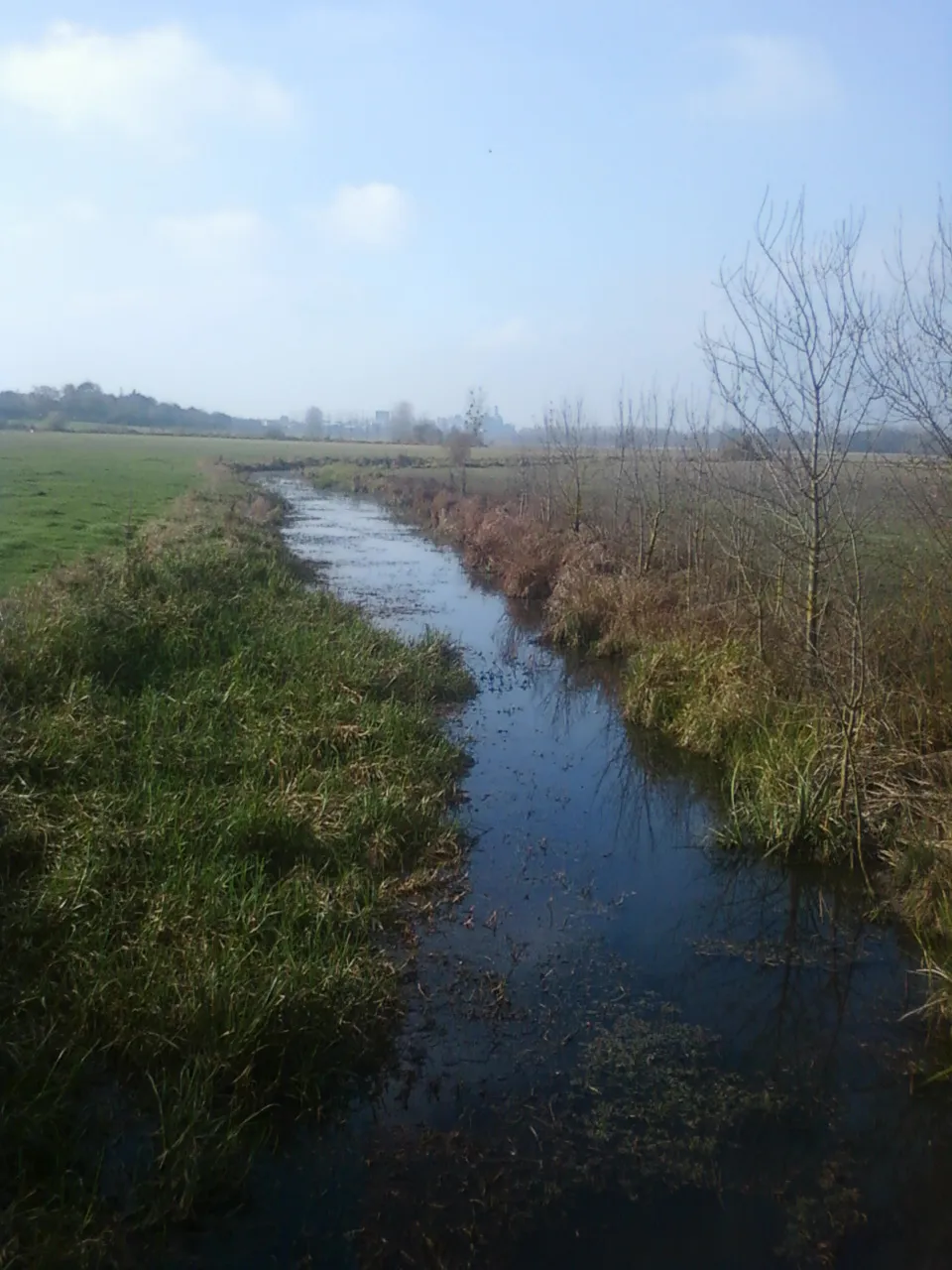
Embark on an adventure through the hidden caves of the Loire region. Cycle through the beautiful countryside and discover the fascinating underground sites. This route takes you through La Chapelle-Saint-Florent, Montjean-sur-Loire, and Saint-Pierre-Montlimart. With moderate difficulty and a touch of epicness, this route promises to be an unforgettable experience for nature and history enthusiasts.
gravel
88 km
621 m
Tough
Route profile
Highlights on the route
0 km
0 km
Start: Le Fuilet Village centerLe Fuilet: Cycling Paradise in Pays de la Loire
Le Fuilet is a locality situated in Pays de la Loire, France. The region offers a mix of flat and hilly terrain, making it suitable for both leisurely rides and challenging climbs. Cyclists can explore the picturesque countryside dotted with charming villages and vineyards. The nearby Mont des Alouettes is a well-known climb in the area, attracting cyclists seeking a tough challenge. With its diverse terrain and charming landscapes, Le Fuilet is a great destination for road and gravel cyclists.9 km
9 km
La Chapelle-Saint-FlorentVillageDiscover the charming village of La Chapelle-Saint-Florent and visit its unique troglodyte dwellings
29 km
29 km
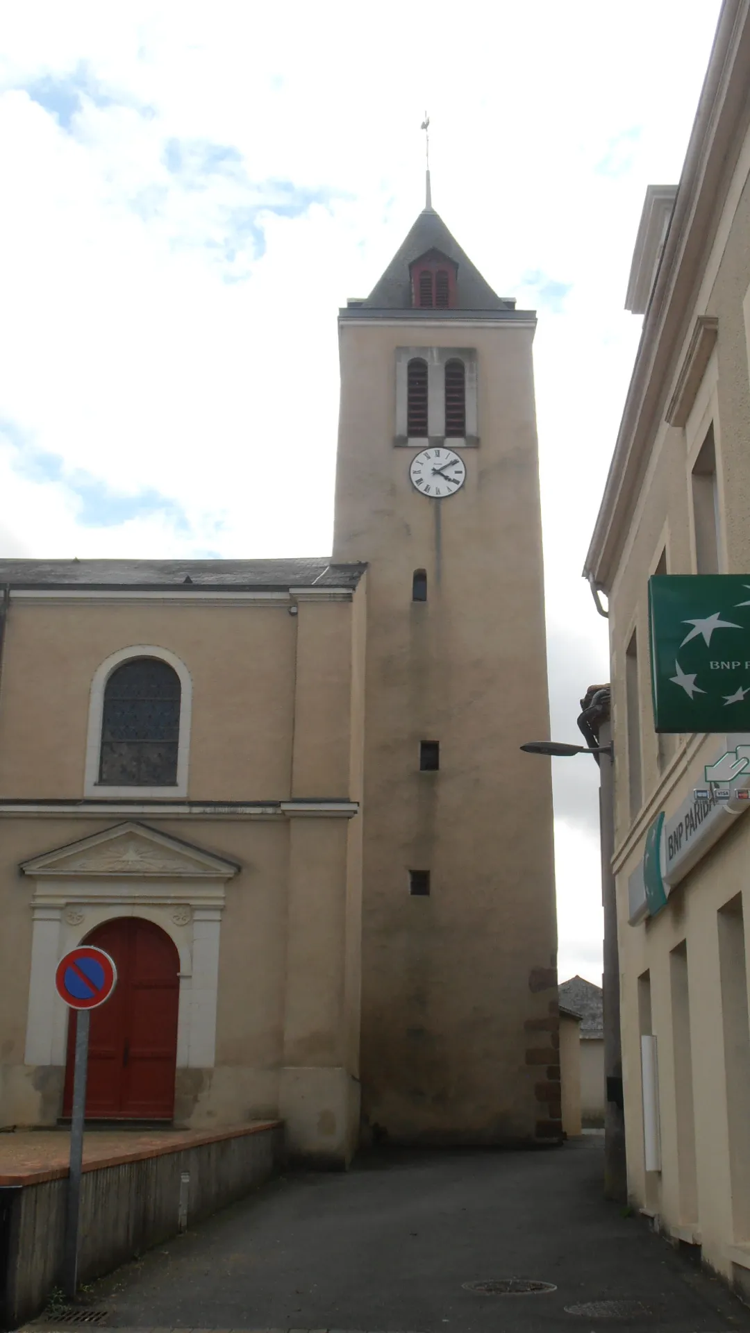
Montjean-sur-LoireVillageExplore the captivating underground world of Montjean-sur-Loire, known for its troglodyte caves
53 km
53 km
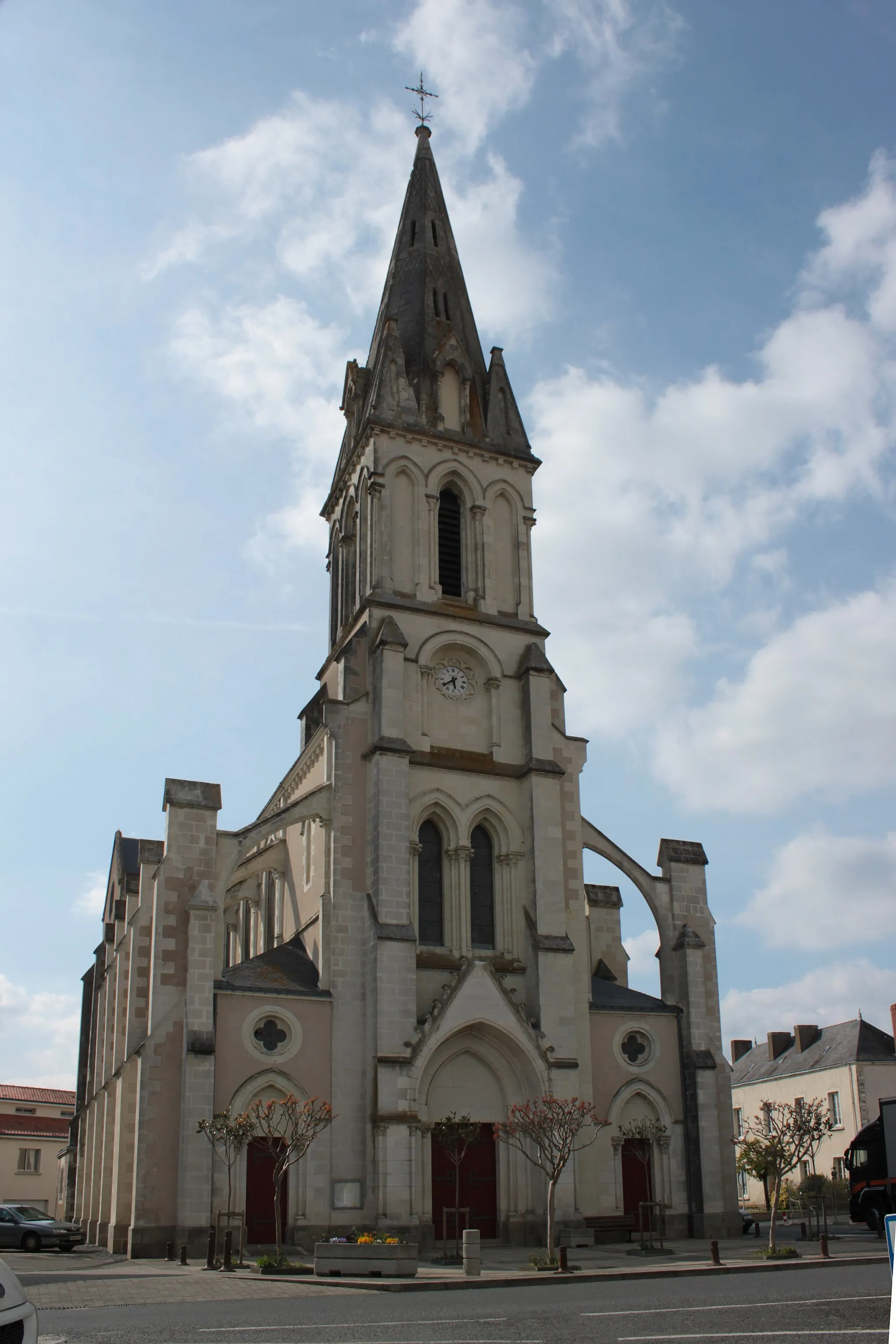
La JumellièreVillageVisit the historic village of La Jumellière and explore its impressive underground wine cellars
69 km
69 km
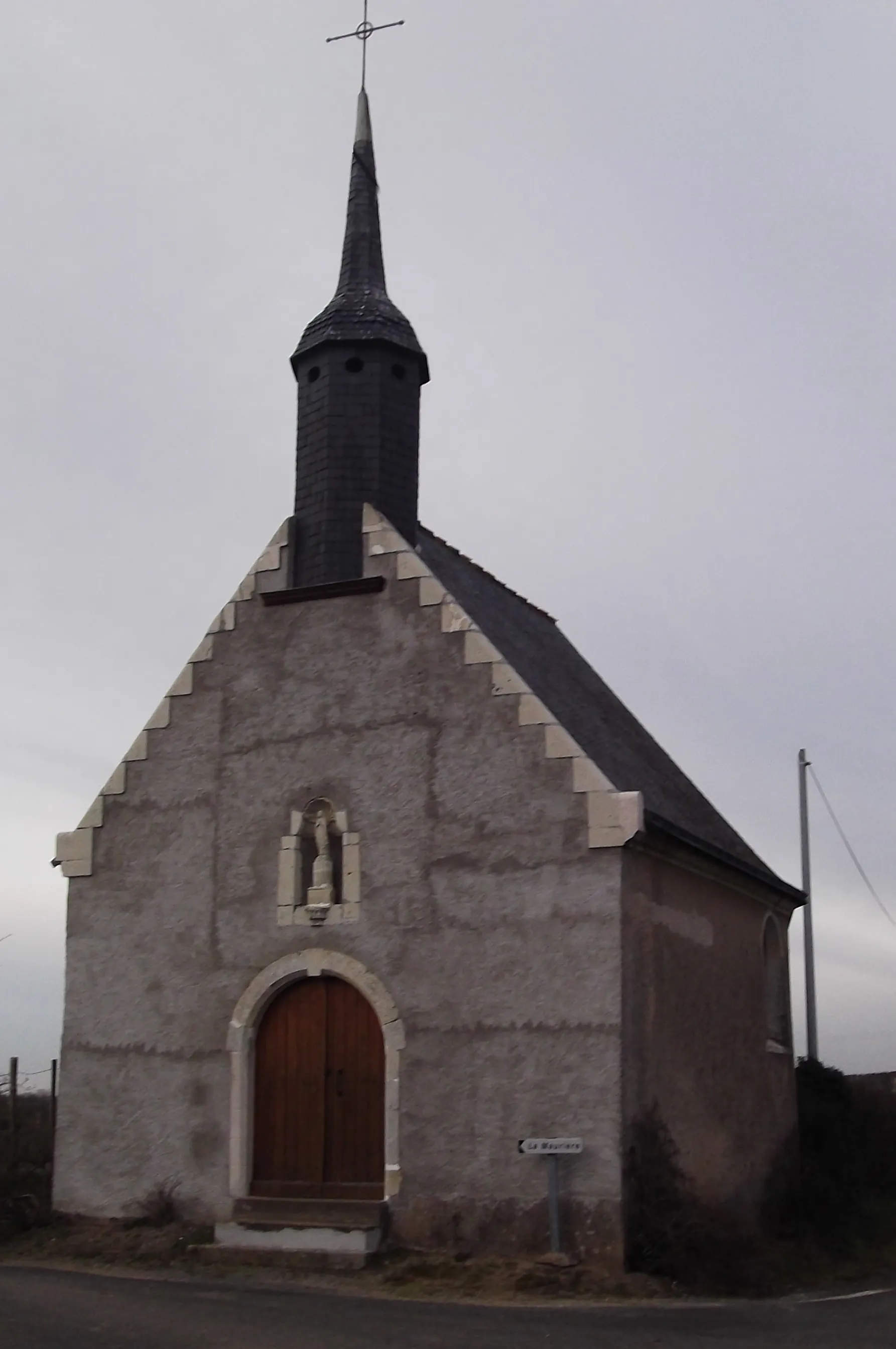
Le Pin-en-MaugesVillageStop by Le Pin-en-Mauges and visit its incredible underground church, carved entirely out of the rock
80 km
80 km
Saint-Pierre-MontlimartVillageExperience the beauty of Saint-Pierre-Montlimart and its surrounding vineyards
88 km
88 km
Finish: Le Fuilet Village centerLe Fuilet: Cycling Paradise in Pays de la Loire
Cycling routes nearby: