Tranquil locality with quiet roads and access to a famous climb.
Cycling routes from Saint-Leger-sous-Cholet
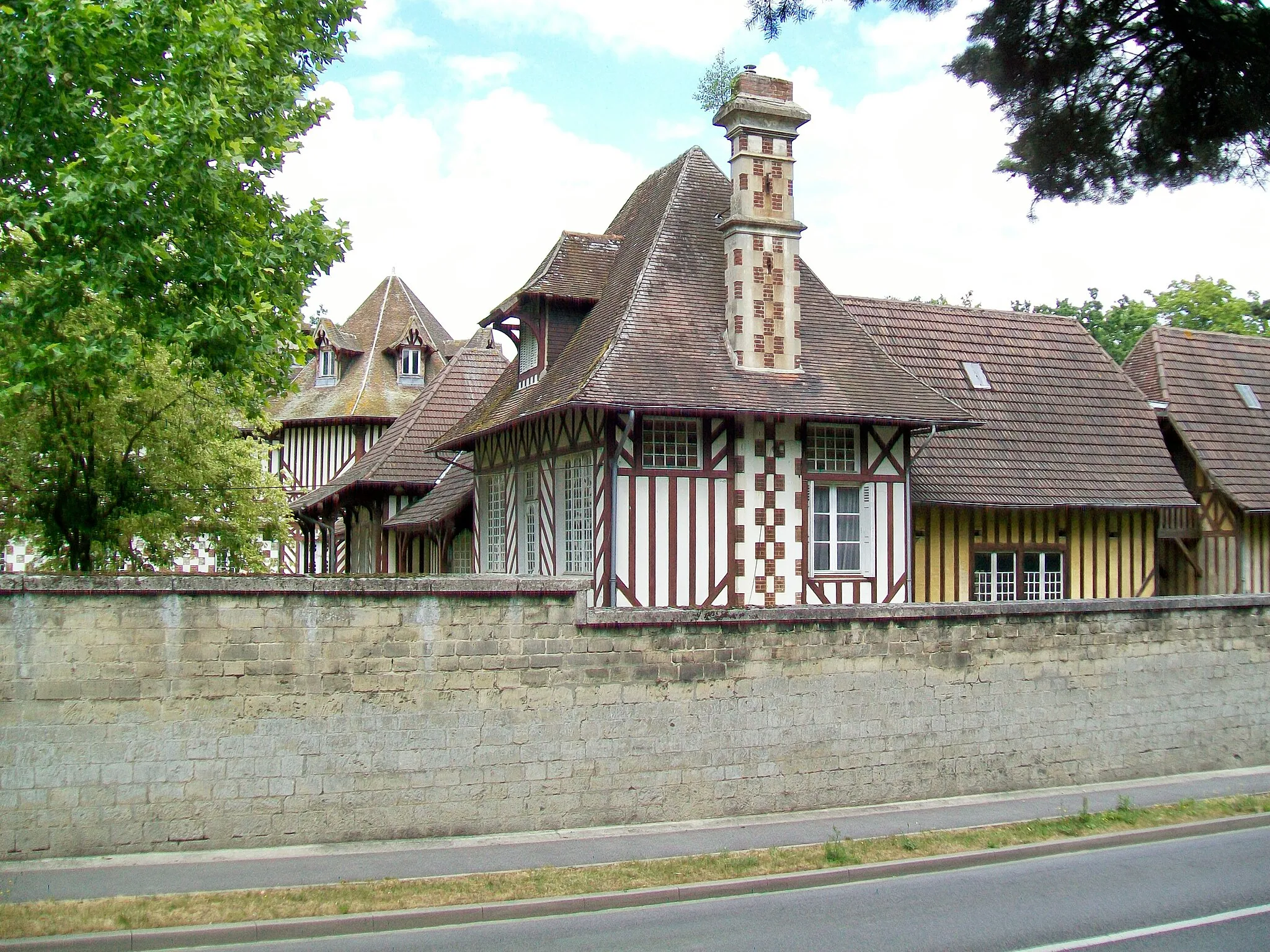
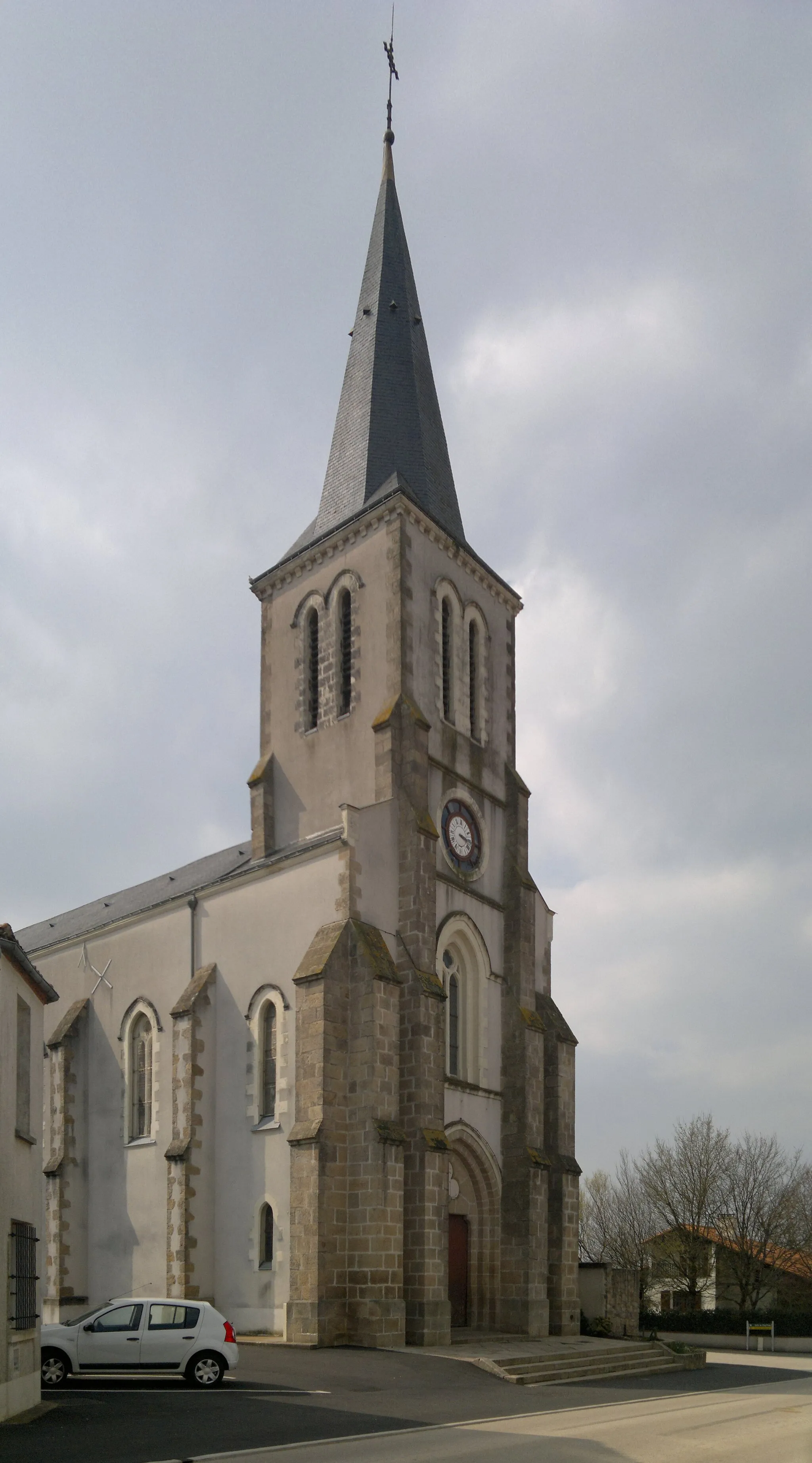
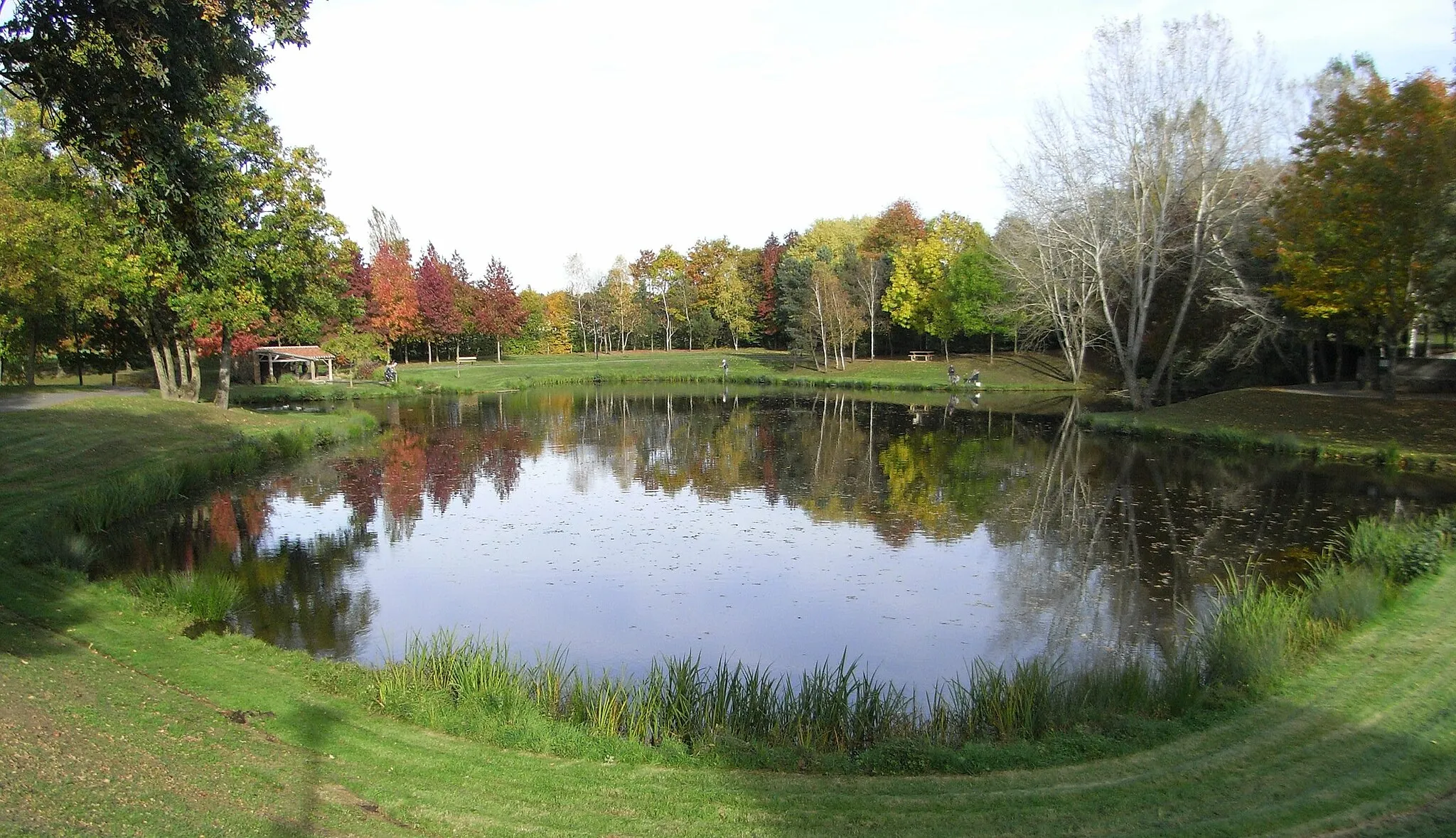
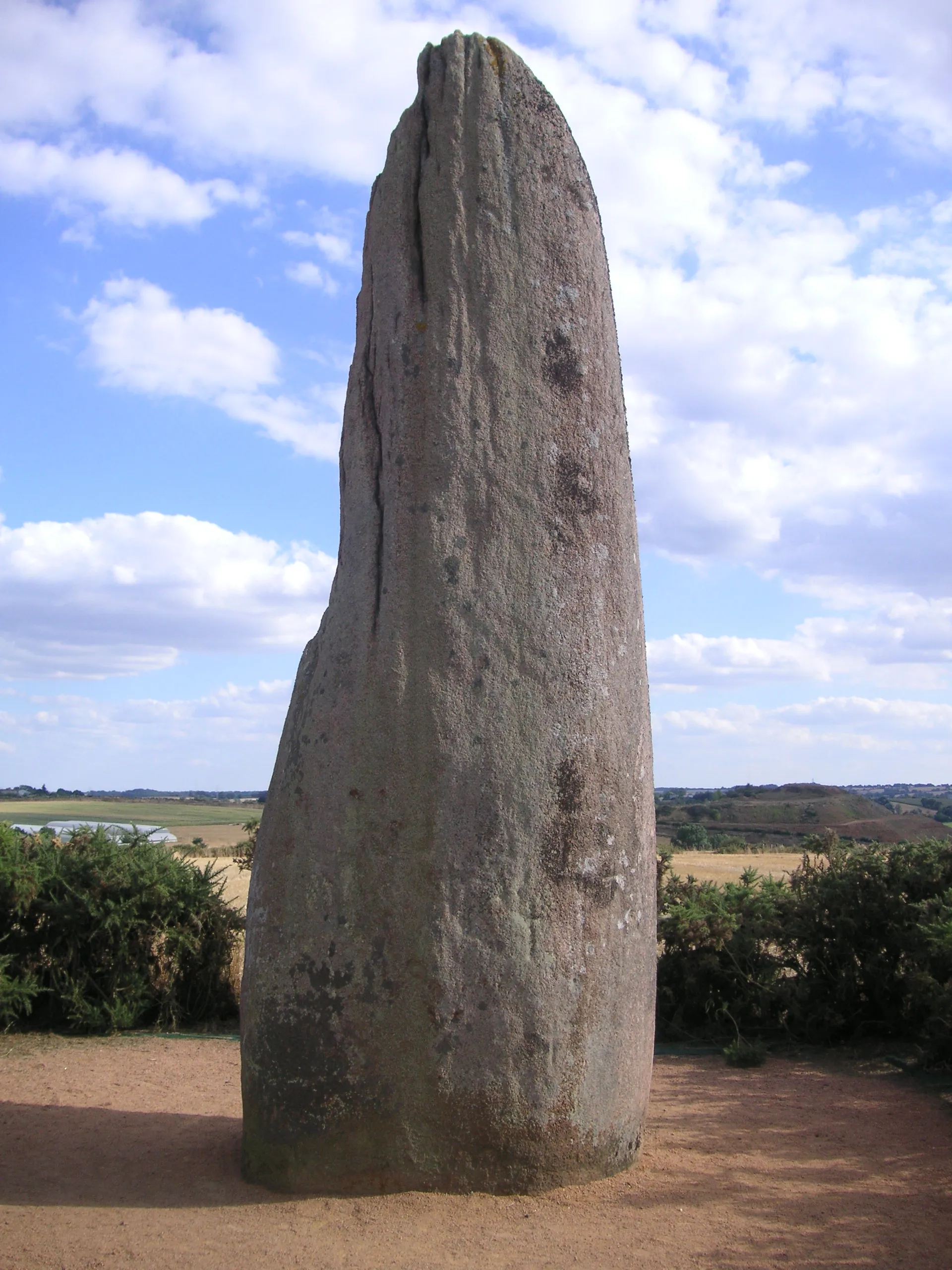
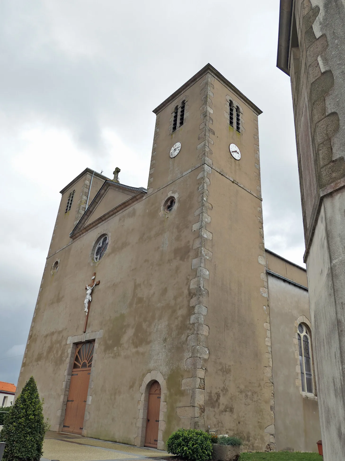
Saint-Léger-sous-Cholet is a tranquil locality in the Pays de la Loire region of France. Cyclists exploring this area will discover quiet country roads and rolling hills, providing a serene and picturesque cycling experience. The region is surrounded by lush greenery and quaint villages, perfect for leisurely rides. Saint-Léger-sous-Cholet is also close to Mont des Alouettes, a famous climb frequently featured in professional cycling races. Overall, Saint-Léger-sous-Cholet offers cyclists an excellent balance between tranquility and challenging terrain.
Experience the thrill of legendary climbs and enjoy stunning scenery
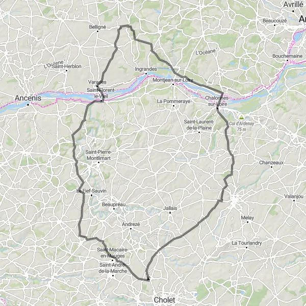
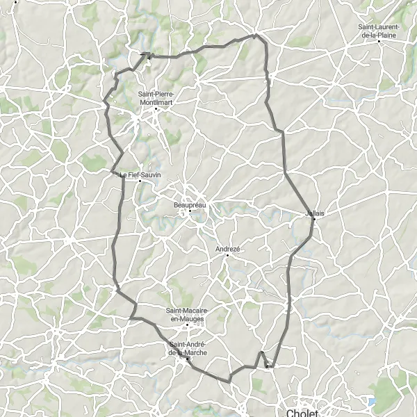
Take on the challenge of the Mauges Loop Adventure, a cycling route that combines epic climbs and breathtaking views. Starting near Saint-Léger-sous-Cholet, the route covers a distance of 122 kilometers with a total ascent of 766 meters. Along the way, you'll encounter famous cycling spots such as Champtocé-sur-Loire and Chalonnes-sur-Loire. The route also takes you through charming villages like Saint-Philbert-en-Mauges and La Jumellière, where you can take a break and sample local delicacies. This route is suitable for well-trained amateurs seeking an exciting and challenging cycling experience.
Poteries Adventure
Discover the beauty of Les Poteries region
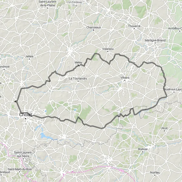
The Poteries Adventure is a thrilling cycling route that takes riders through the scenic Les Poteries region. This route offers a mix of challenging climbs, gravel paths, and stunning views. Cyclists will explore charming villages, historic landmarks, and picturesque landscapes. The difficulty level of this route is moderate, suitable for well-trained amateur cyclists. With a total distance of 118 kilometers and an ascent of 652 meters, the Poteries Adventure promises an exhilarating and immersive cycling experience.
Embark on an epic cycling adventure in Maulévrier
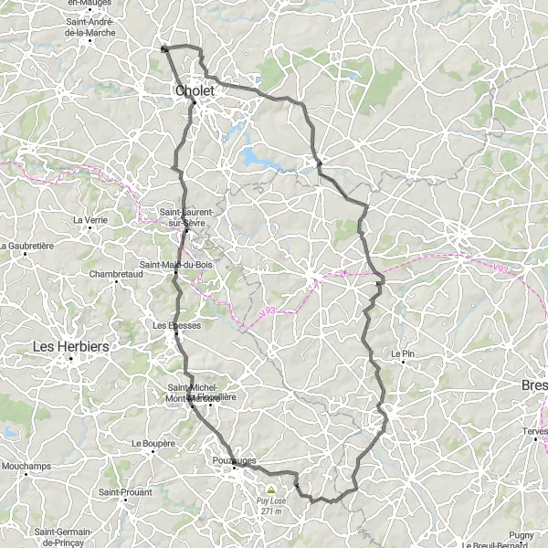
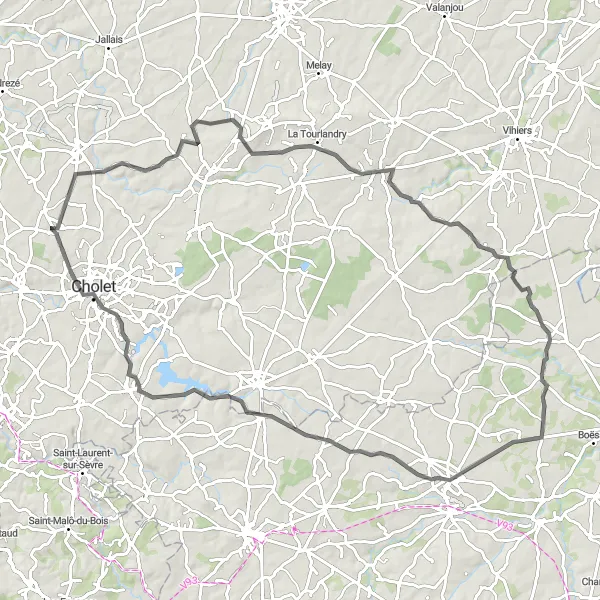
The Maulévrier Adventure is an epic cycling route that takes riders through the captivating landscapes of Maulévrier. This route offers thrilling climbs, fast descents, and breathtaking views. Cyclists will explore charming villages, historic landmarks, and picturesque natural sceneries. The difficulty level of this route is high, suitable for experienced and well-trained cyclists. With an overall distance of 110 kilometers and a challenging ascent of 955 meters, the Maulévrier Adventure promises an unforgettable and thrilling cycling experience.
Journey through historic villages and enjoy stunning countryside views
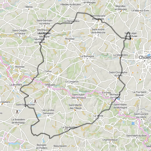
Experience the beauty of the countryside near Saint-Léger-sous-Cholet on the Saint-André-de-la-Marche Loop. This 79-kilometer route includes a total ascent of 553 meters and offers a moderate challenge suitable for intermediate cyclists. Discover picturesque villages such as Saint-André-de-la-Marche and Villedieu-la-Blouère, known for their charming architecture and scenic surroundings. Enjoy panoramic views of the Mauges region as you pedal through Le Pin-en-Mauges and finish the route with a return to Saint-Léger-sous-Cholet.
Explore the charming village of Andrezé and enjoy scenic countryside views
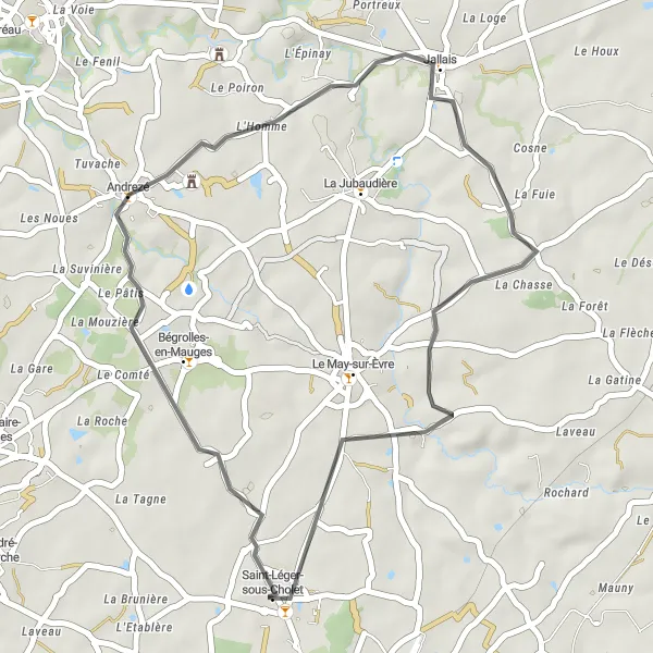
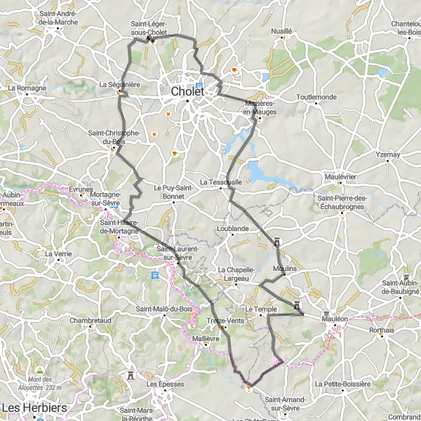
Embark on the Andrezé Loop and discover the natural beauty of the countryside near Saint-Léger-sous-Cholet. This 35-kilometer route offers a moderate challenge with a total ascent of 206 meters. In addition to the picturesque landscape, the highlight of this route is the visit to Andrezé, a charming village known for its traditional architecture and warm hospitality. Take a leisurely ride through the rolling hills, enjoy the peacefulness of the surroundings, and immerse yourself in the local culture. This route is perfect for cyclists looking for a relaxing and scenic ride.
The Puy-Saint-Bonnet Loop
Cycle through scenic landscapes and visit historic sites
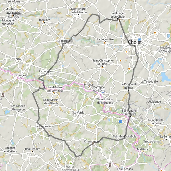
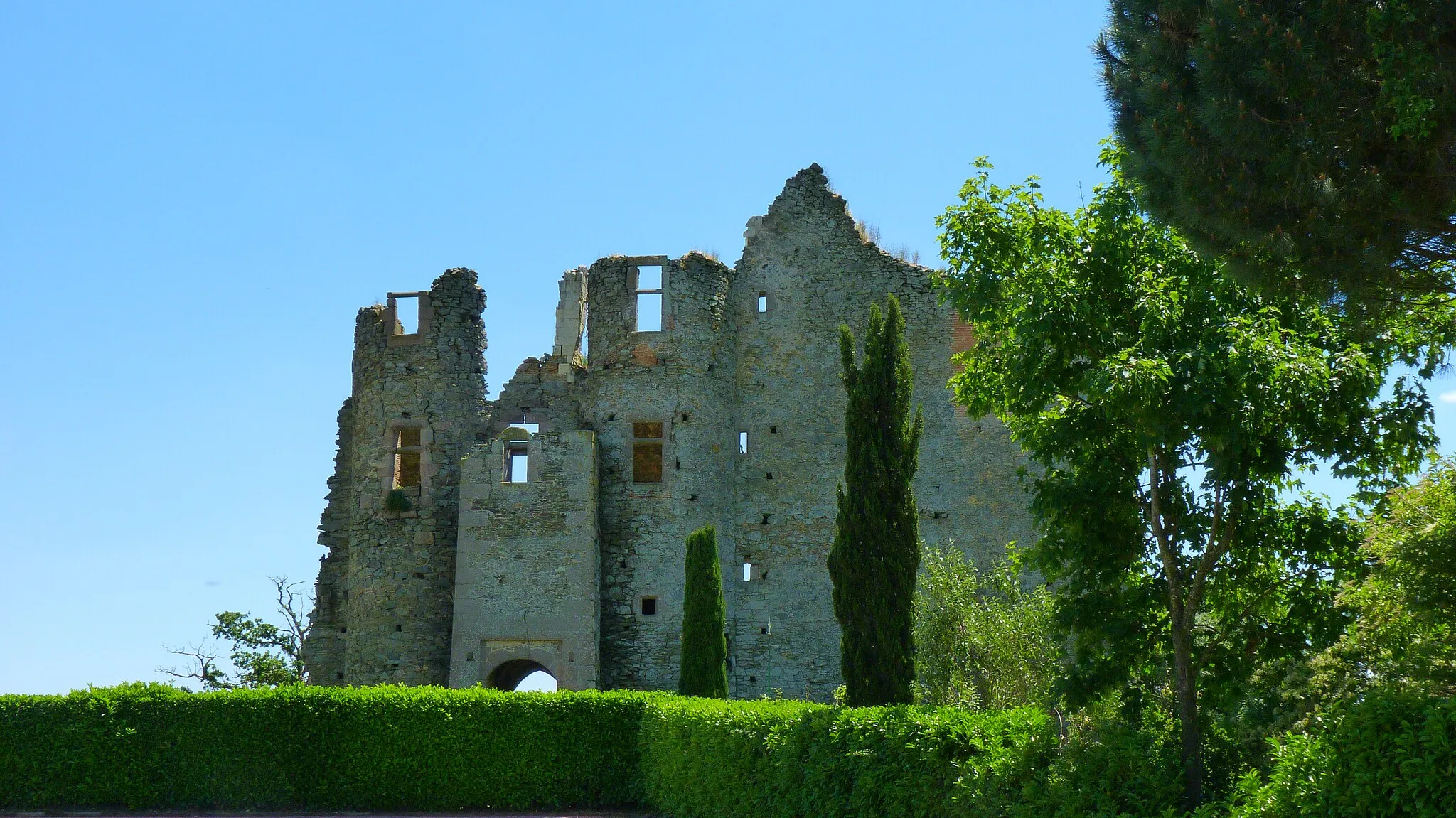
Embark on a cycling adventure through picturesque landscapes and historic sites on the Puy-Saint-Bonnet Loop near Saint-Léger-sous-Cholet. This 69-kilometer route includes a total ascent of 583 meters, offering a satisfying challenge for intermediate cyclists. Explore the charming village of Le Puy-Saint-Bonnet, known for its rich historical heritage and delightful cafes. Pass through scenic countryside and visit attractions such as Chambretaud, known for its medieval castle, and La Gaubretière, famous for its stunning views. The route concludes with a return to Saint-Léger-sous-Cholet, where you can relax and reflect on your cycling journey.
Sous-Cholet Loop
Explore the beautiful countryside around Saint-Léger-sous-Cholet
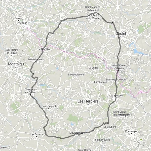
The Sous-Cholet Loop takes cyclists on a scenic journey through the picturesque countryside near Saint-Léger-sous-Cholet. This route offers a mix of challenging ascents, smooth roads, and stunning views. Riders can expect to encounter quaint villages, historic landmarks, and charming landscapes along the way. The difficulty level of this route is moderate, suitable for well-trained amateur cyclists. With an overall distance of 128 kilometers and an ascent of 858 meters, the Sous-Cholet Loop promises an exhilarating cycling adventure.
Bois Valley Discovery
Explore the captivating Bois Valley
The Bois Valley Discovery takes cyclists on an immersive journey through the captivating Bois Valley. This route offers a mix of challenging ascents, smooth roads, and breathtaking landscapes. Riders will pass through picturesque villages, lush green forests, and historic sites. The difficulty level of this route is moderate, suitable for well-trained amateur cyclists. With an overall distance of 93 kilometers and an ascent of 585 meters, the Bois Valley Discovery promises an unforgettable cycling adventure.
The Mauges Castle Loop
Cycle through beautiful countryside and visit the impressive Domaine du château de la Blandinière
Discover the picturesque Mauges region on this scenic cycling route. The route starts near Saint-Léger-sous-Cholet and takes you through charming villages, rolling hills, and lush vineyards. One of the highlights of the route is the visit to Domaine du château de la Blandinière, a stunning castle known for its winemaking. The route includes a total ascent of 581 meters and covers a distance of 72 kilometers.
Sèvre Loop
Experience the beauty of the Sèvre River Valley
The Sèvre Loop takes cyclists on a scenic journey through the stunning Sèvre River Valley. This route offers a mix of challenging climbs, smooth roads, and breathtaking views. Riders will pass through charming villages, lush green landscapes, and historic landmarks. The difficulty level of this route is moderate, suitable for well-trained amateur cyclists. With a total distance of 84 kilometers and an ascent of 576 meters, the Sèvre Loop promises a memorable cycling experience.
Cycling routes nearby:


Nearby regions: