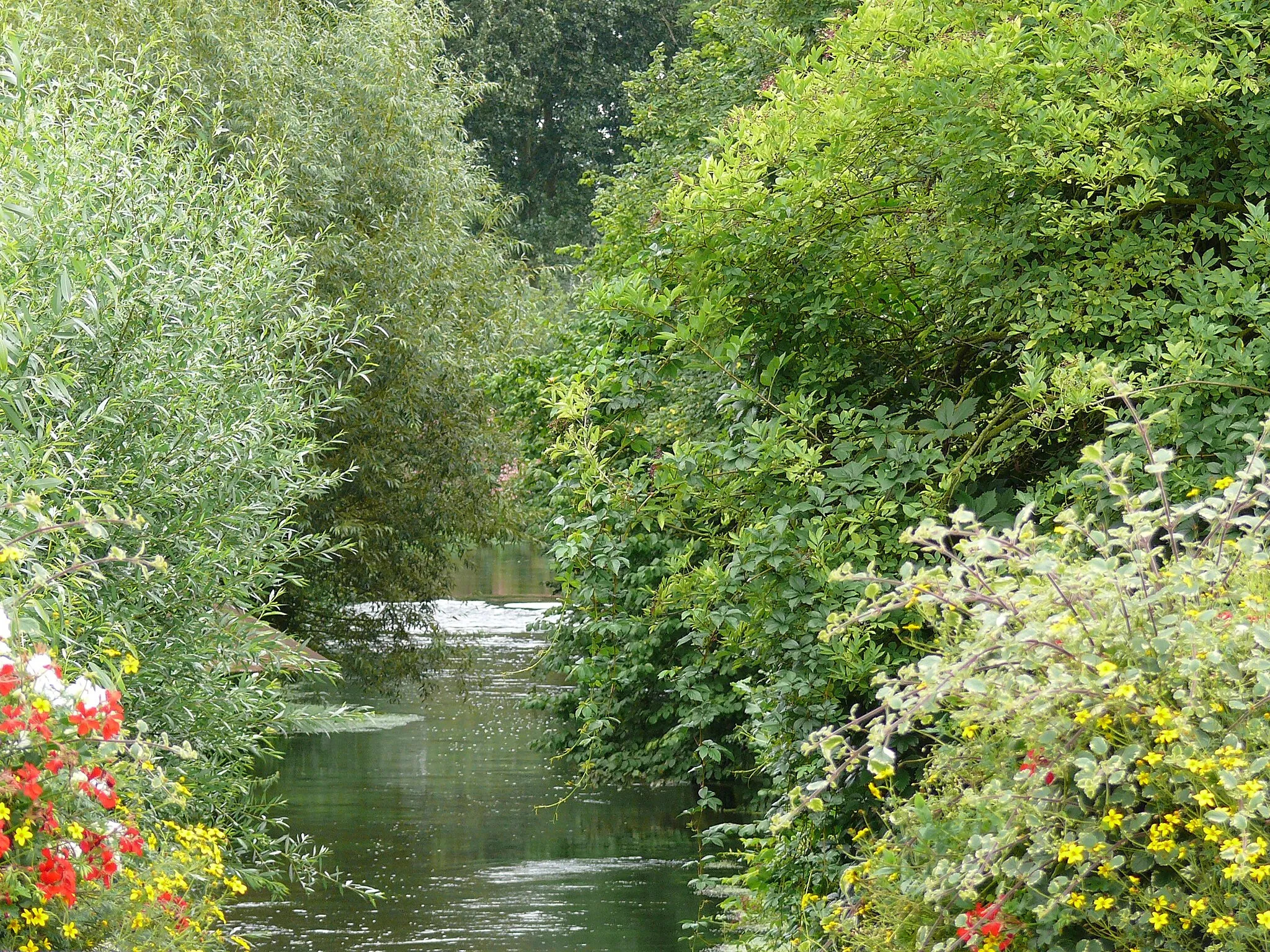
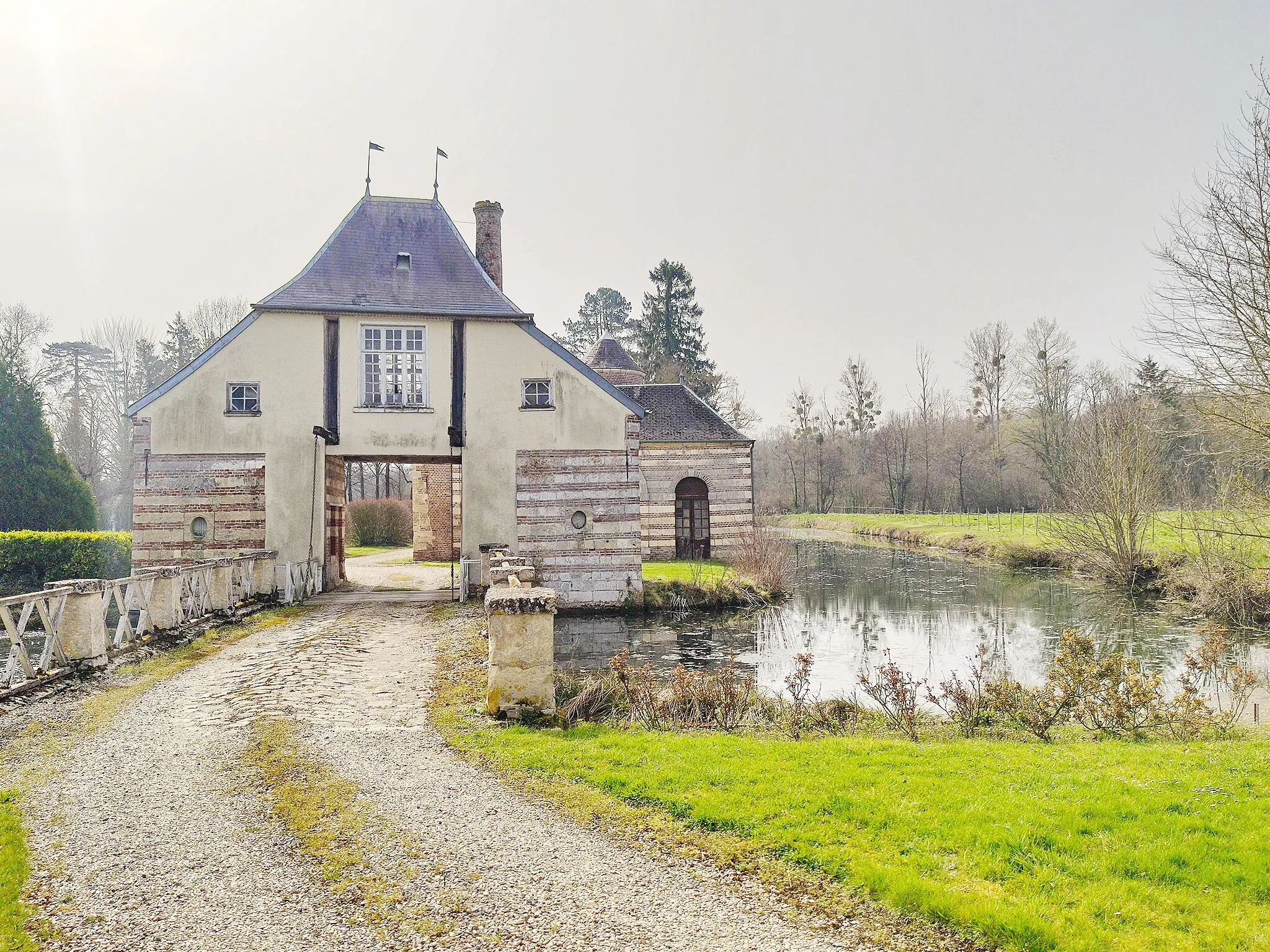
Tranquil cycling in the heart of the French countryside
Cycling routes from Ailly-sur-Noye
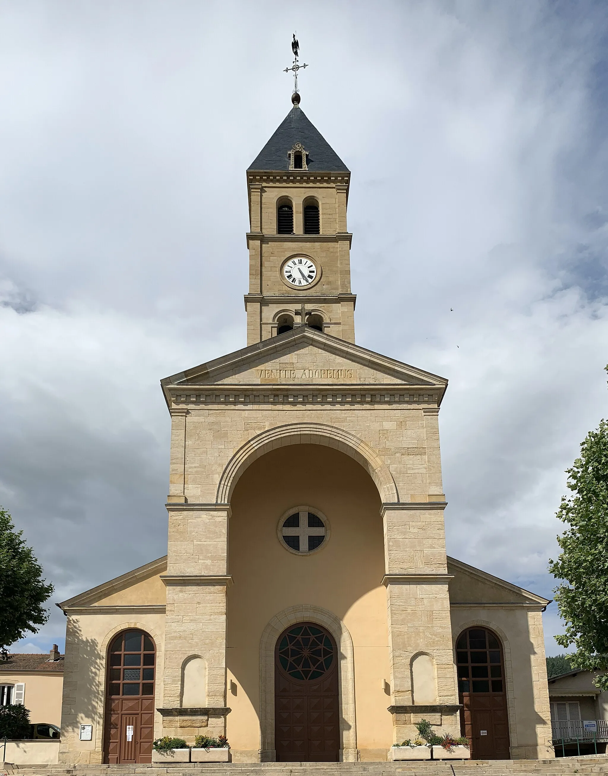
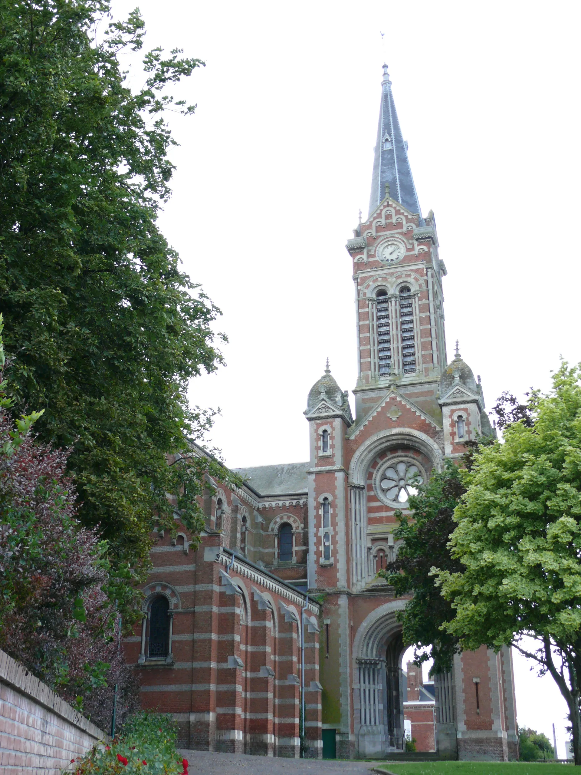
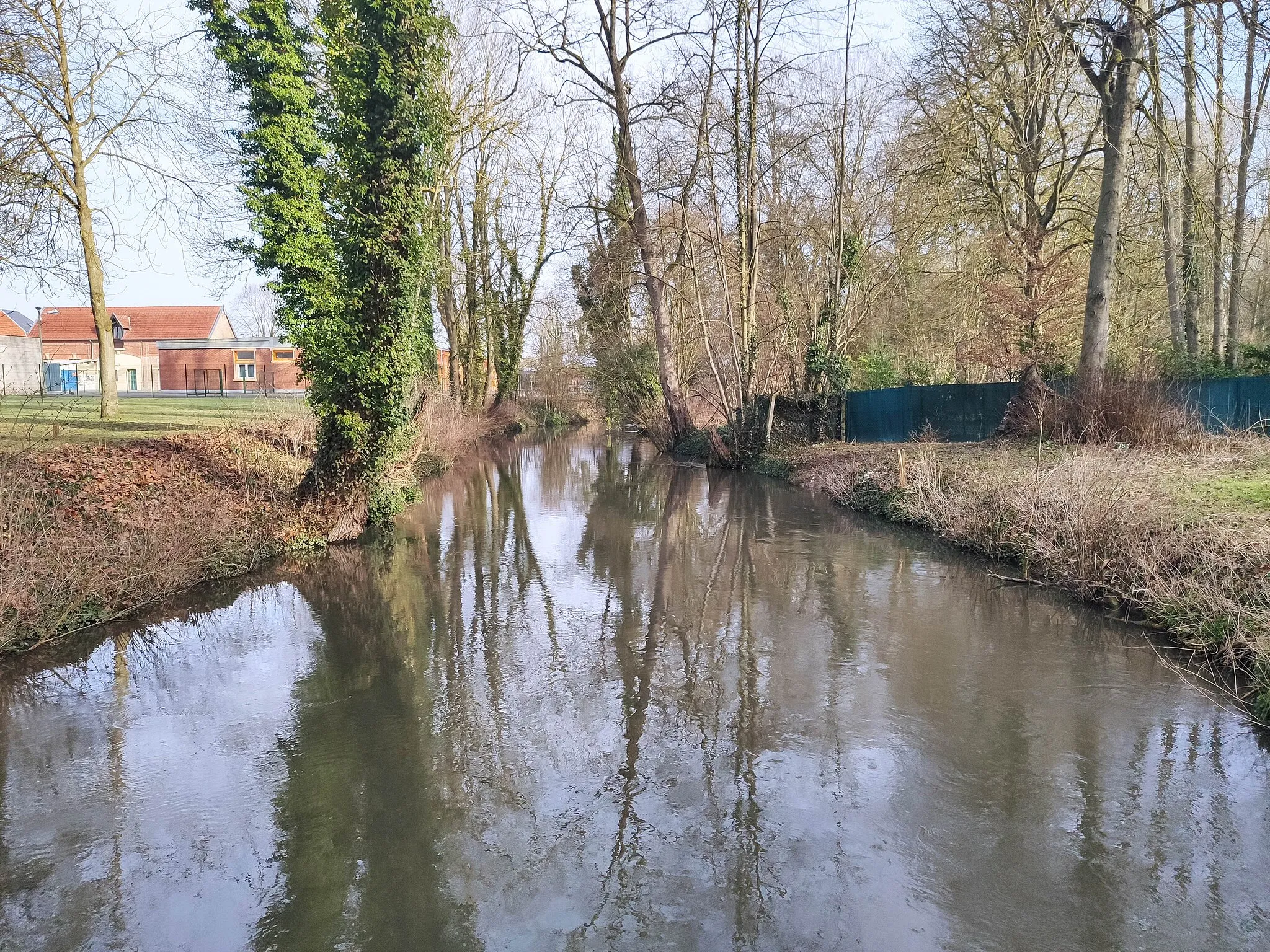
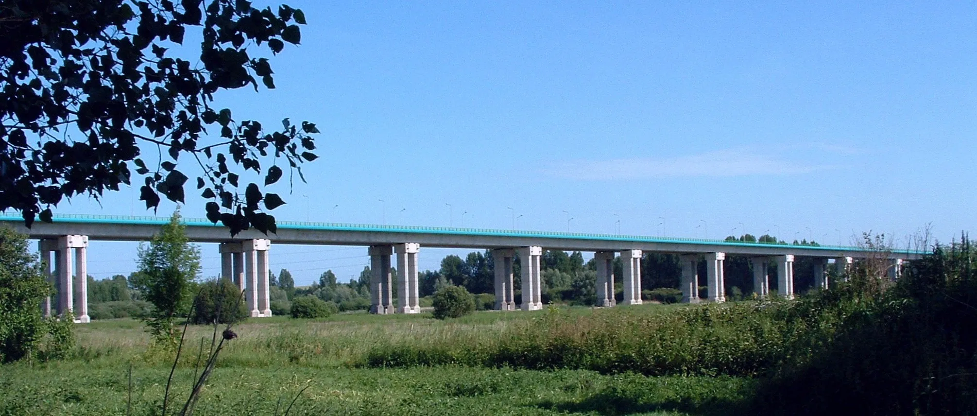
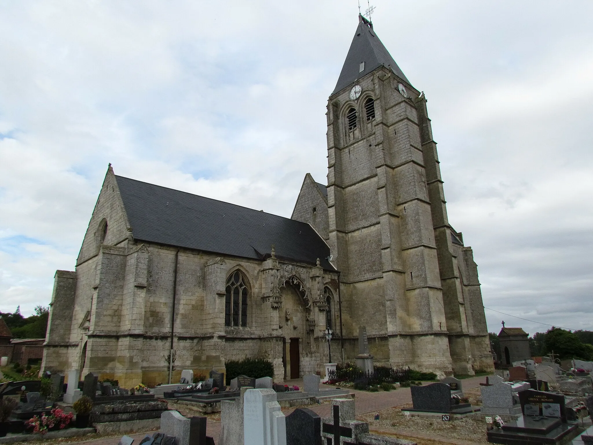
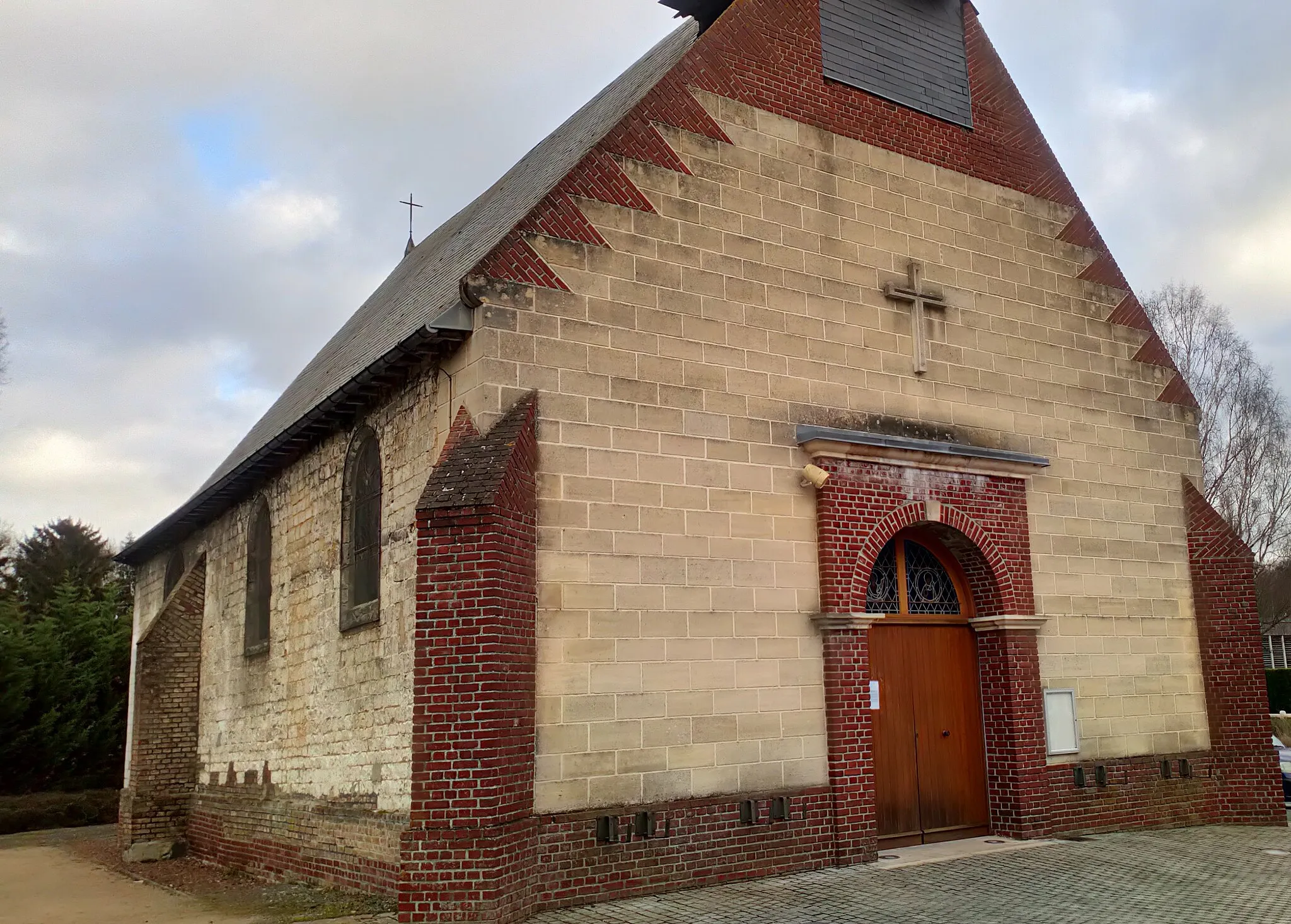
Ailly-sur-Noye, situated in the Picardie region of France, offers a moderate cycling experience for both road and gravel cyclists. The town is surrounded by rolling hills and picturesque countryside, providing cyclists with scenic routes and peaceful riding conditions. While there may not be any famous climbs or challenging ascents nearby, Ailly-sur-Noye offers a pleasant and relatively easygoing cycling experience for riders of all skill levels. Cyclists can explore charming nearby villages and enjoy the tranquility of the French countryside. With its scenic routes and peaceful atmosphere, Ailly-sur-Noye is a recommended destination for cyclists seeking a relaxing and enjoyable ride.

Rewarding road cycling challenge from Paillart to Oresmaux
Embark on a rewarding road cycling adventure from Paillart to Oresmaux. Covering a distance of 101 km with a total ascent of 873 meters, this route provides a challenging experience for well-trained amateur cyclists. Along the way, you will pass through charming villages and beautiful landscapes, making it a memorable journey in the Picardie region.
Villers-Tournelle Loop
Explore the scenic beauty of Villers-Tournelle
This road cycling route takes you through the breathtaking landscapes surrounding Villers-Tournelle. With a moderate level of difficulty and a total ascent of 531m over a distance of 60km, this route is perfect for well-trained amateurs looking for a challenging but rewarding ride. Highlights along the route include the charming village of Villers-Tournelle and the picturesque Chepoix. Don't forget to stop by Paillart and Berny sur Noye for a taste of local culture and gastronomy.
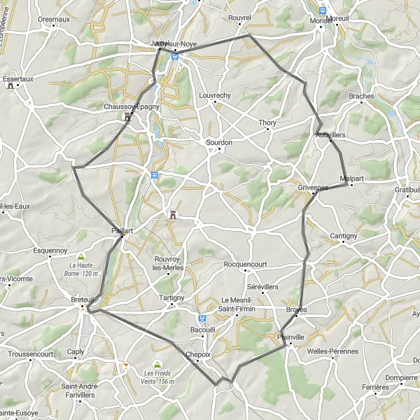
Scenic gravel route from Ailly-sur-Noye to Louvrechy
Discover the scenic beauty of the Picardie region with this gravel route. Starting in Ailly-sur-Noye and ending in Louvrechy, the route covers a distance of 62 km with a total ascent of 496 meters. With picturesque countryside and charming villages along the way, this route is suitable for experienced gravel cyclists.
Exciting gravel cycling route from Ailly-sur-Noye to Berny sur Noye
This gravel cycling adventure is perfect for those seeking an off-road experience in the Picardie region. The route covers a distance of 53 km with a total ascent of 425 meters, starting in Ailly-sur-Noye and ending in Berny sur Noye. With varying terrain and scenic views, this route is suitable for well-prepared cyclists.
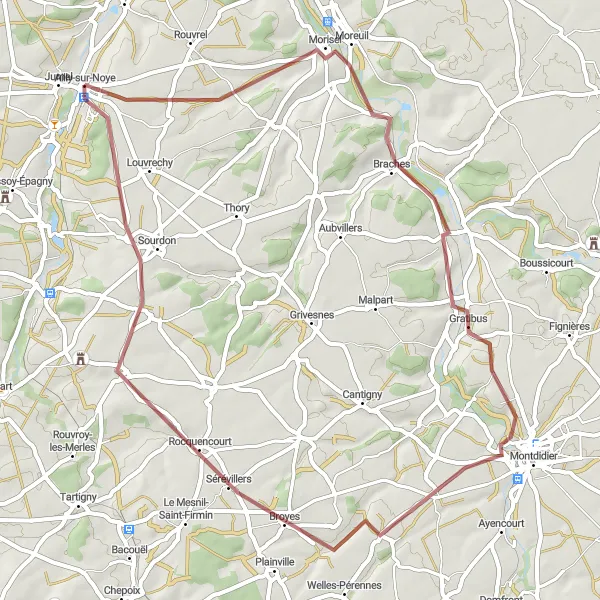
Aubvillers Loop

Discover the charming village of Aubvillers
Embark on a scenic journey through picturesque landscapes and charming villages. This road cycling route showcases the beauty of the Picardie region and offers a moderate level of difficulty, making it suitable for experienced amateurs. Cycling through villages such as Fontaine-sous-Montdidier and Jumel, you'll experience the rich cultural heritage of the area. With a total ascent of 595m over a distance of 88km, this route provides a challenge without being overly strenuous.
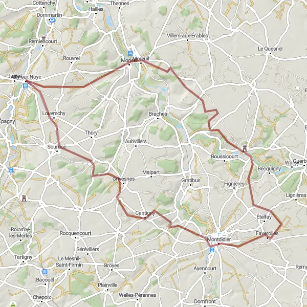
Unleash your inner adventurer on the Moreuil Gravel Adventure
Experience the thrill of off-road cycling on this gravel route through the diverse landscapes surrounding Moreuil. With a moderate level of difficulty and an ascent of 314m over a distance of 41km, this ride offers a taste of adventure without being too overwhelming. Highlights along the way include the historic town of Moreuil, the picturesque village of Bouillancourt-la-Bataille, and the charming village of Grivesnes. Enjoy the tranquility of the countryside and immerse yourself in the natural beauty of the region.
Scenic road cycling route from Ailly-sur-Noye to Louvrechy
This road cycling route takes you through picturesque villages and beautiful countryside in Picardie, France. You will start in Ailly-sur-Noye and make your way towards Louvrechy, covering a total distance of 93 km with a total ascent of 439 meters. The route is suitable for well-trained amateur cyclists who enjoy moderate challenges.
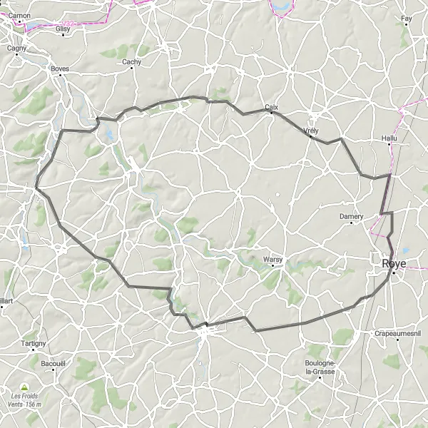
Hangard Explorer
Discover the hidden charms of Hangard
This road cycling route takes you on a journey to discover the hidden charms of Hangard and its surrounding areas. With a moderate level of difficulty and an ascent of 295m over a distance of 69km, this route offers a mix of scenic landscapes and cultural highlights. Highlights along the way include the historic village of Hangard-en-Santerre and the picturesque town of Rosières-en-Santerre. Don't miss the opportunity to explore the tranquil village of Louvrechy and La Neuville-Sire-Bernard, known for its stunning views.
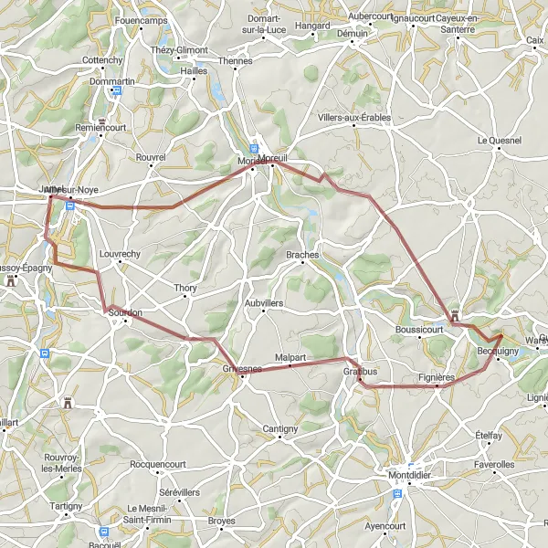
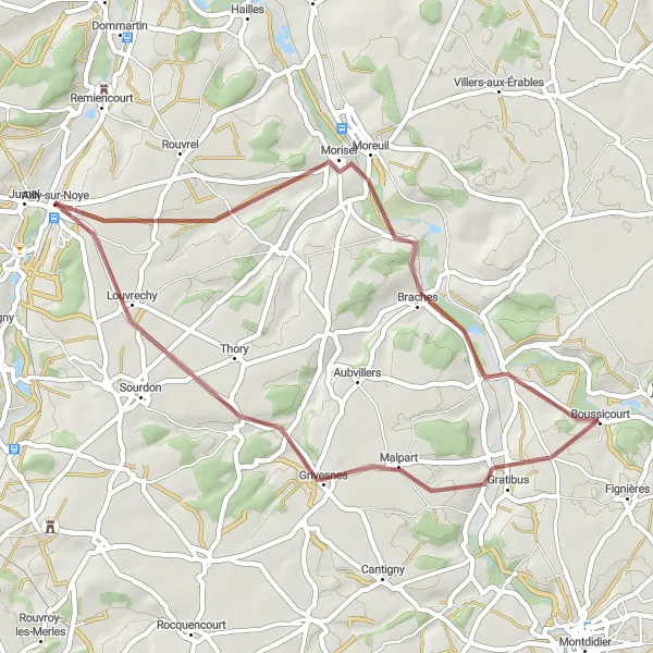
Embark on an epic gravel adventure to Sourdon
Get ready for an exhilarating gravel adventure to the hidden gem of Sourdon. With a moderate level of difficulty and an ascent of 353m over a distance of 53km, this route is perfect for adrenaline-seeking cyclists. Highlights along the route include the historic town of Moreuil, the picturesque village of Gratibus, and the charming village of Le Cardonnois. Immerse yourself in the natural beauty of the area and experience the thrill of off-road cycling on this epic route.
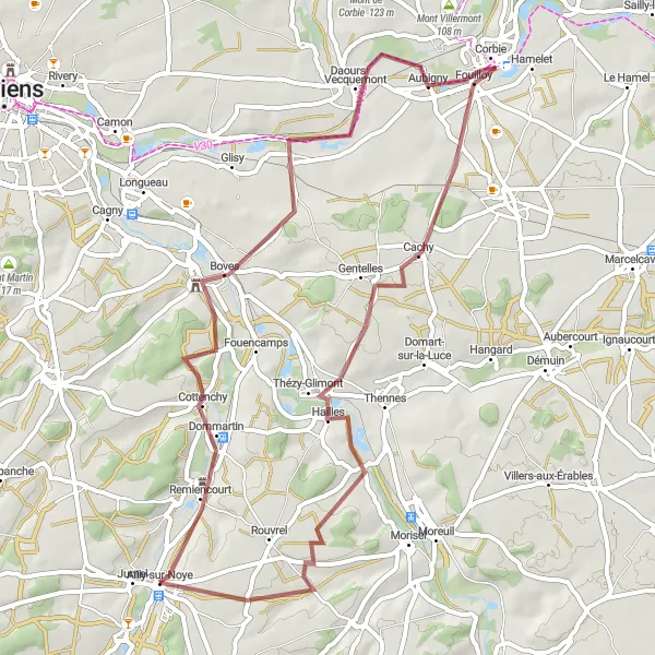
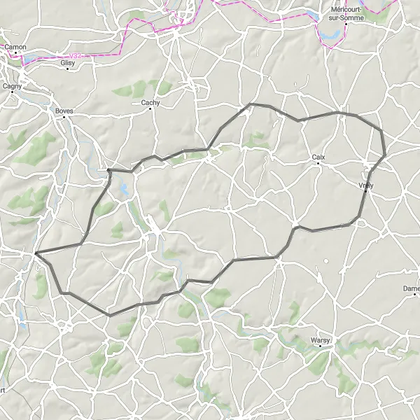
Scenic gravel route from Boves to Thézy-Glimont
Experience the beauty of the Picardie region with this scenic gravel route. Starting in Boves and ending in Thézy-Glimont, the route covers a distance of 55 km and includes a total ascent of 484 meters. With varied terrain and charming villages along the way, this route is recommended for experienced gravel cyclists.
Cycling routes nearby:
Nearby regions: