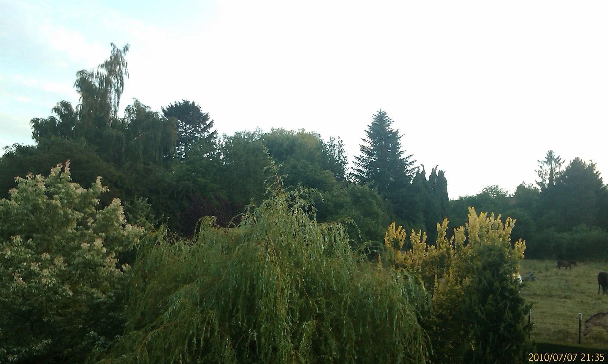
Cycling through peaceful countryside and exploring the Chantilly Forest in the Picardie region.
Cycling routes from Gouvieux
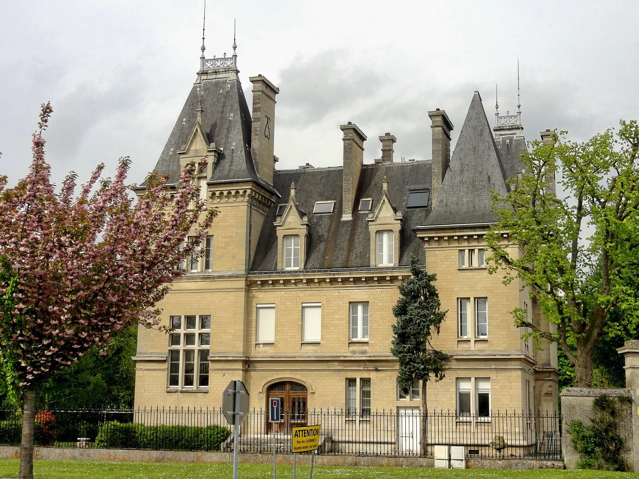
Gouvieux is a locality in the Picardie region of France. From a cyclist's perspective, Gouvieux offers peaceful cycling routes with scenic views. The surrounding countryside is beautiful and provides a tranquil setting for road and gravel cycling. One well-known cycling spot near Gouvieux is the Chantilly Forest, which offers a variety of off-road trails. Overall, Gouvieux is a great option for cyclists looking for a serene cycling experience in the Picardie region.
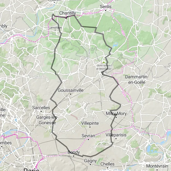
Embark on a thrilling road cycling adventure from Gouvieux to Chaumontel, passing by stunning landscapes and enchanting landmarks.
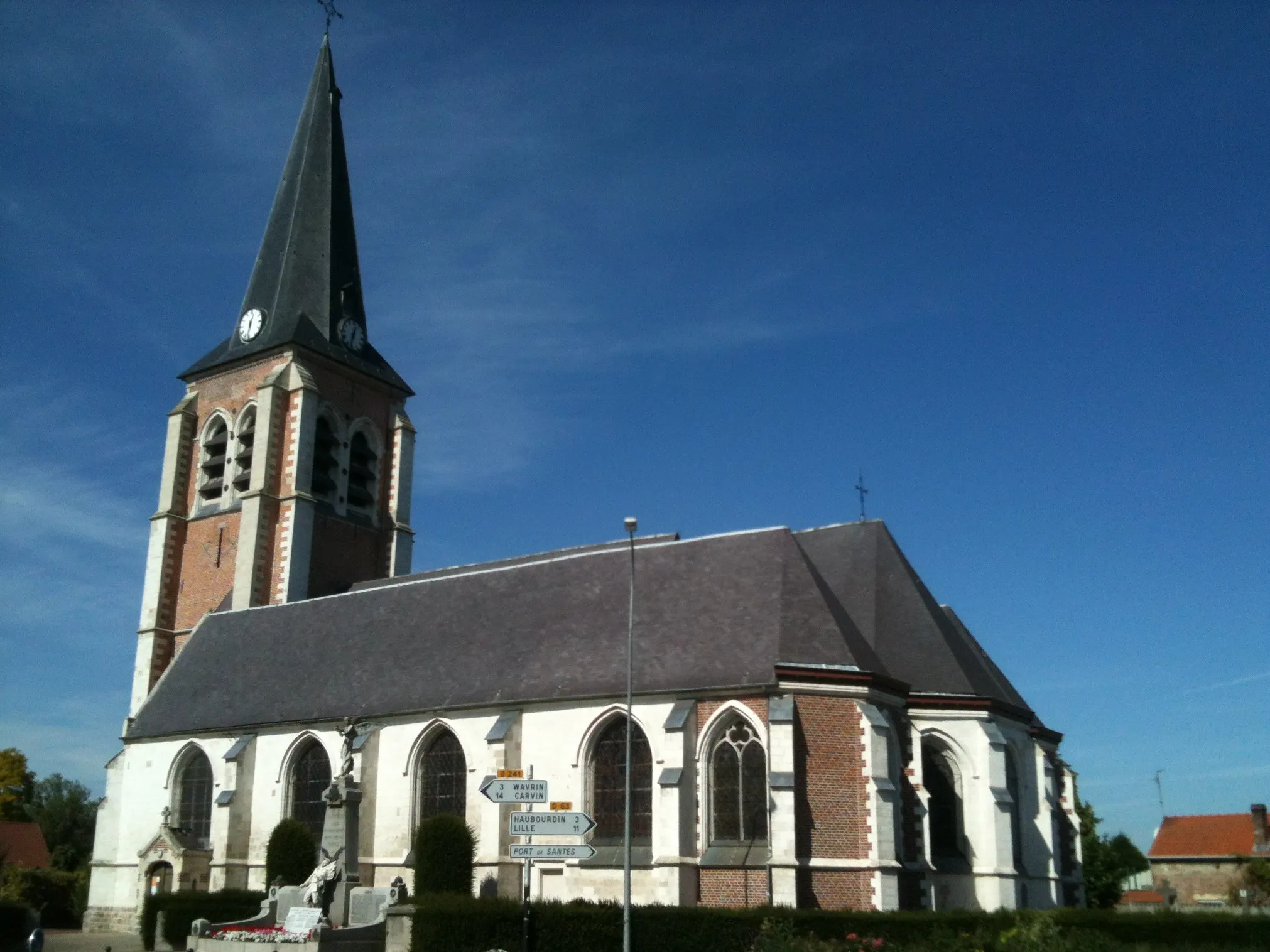
This road cycling route offers an exhilarating adventure, covering a total distance of 106 km with an ascent of 559 meters. Starting in Gouvieux, it takes you on a scenic journey through picturesque landscapes and charming villages, including Thiers-sur-Thève, Butte témoin de Montmélian, Le Mesnil-Amelot, Montfermeil, Arnouville, Chaumontel, and finally back to Gouvieux. With its longer distance and moderate difficulty level, it's most suitable for well-trained amateur cyclists. The highlights along the way include Thiers-sur-Thève, renowned for its visual appeal and charming streets, and Chaumontel, a picturesque village surrounded by beautiful countryside.
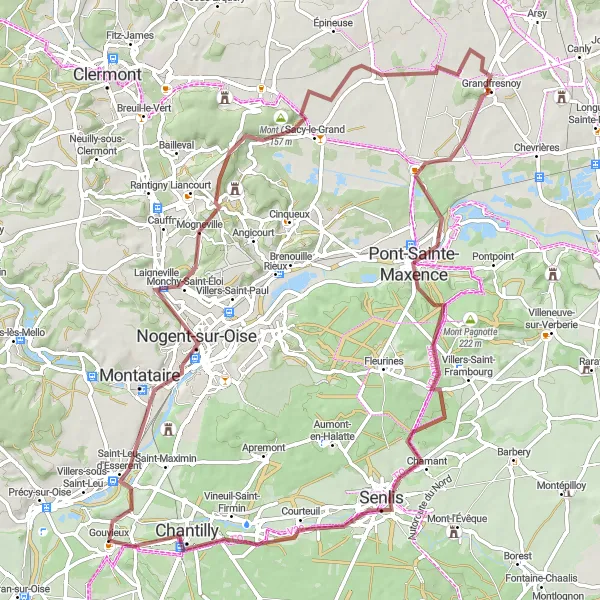
Embark on an adrenaline-pumping gravel adventure from Nogent-sur-Oise to Chantilly
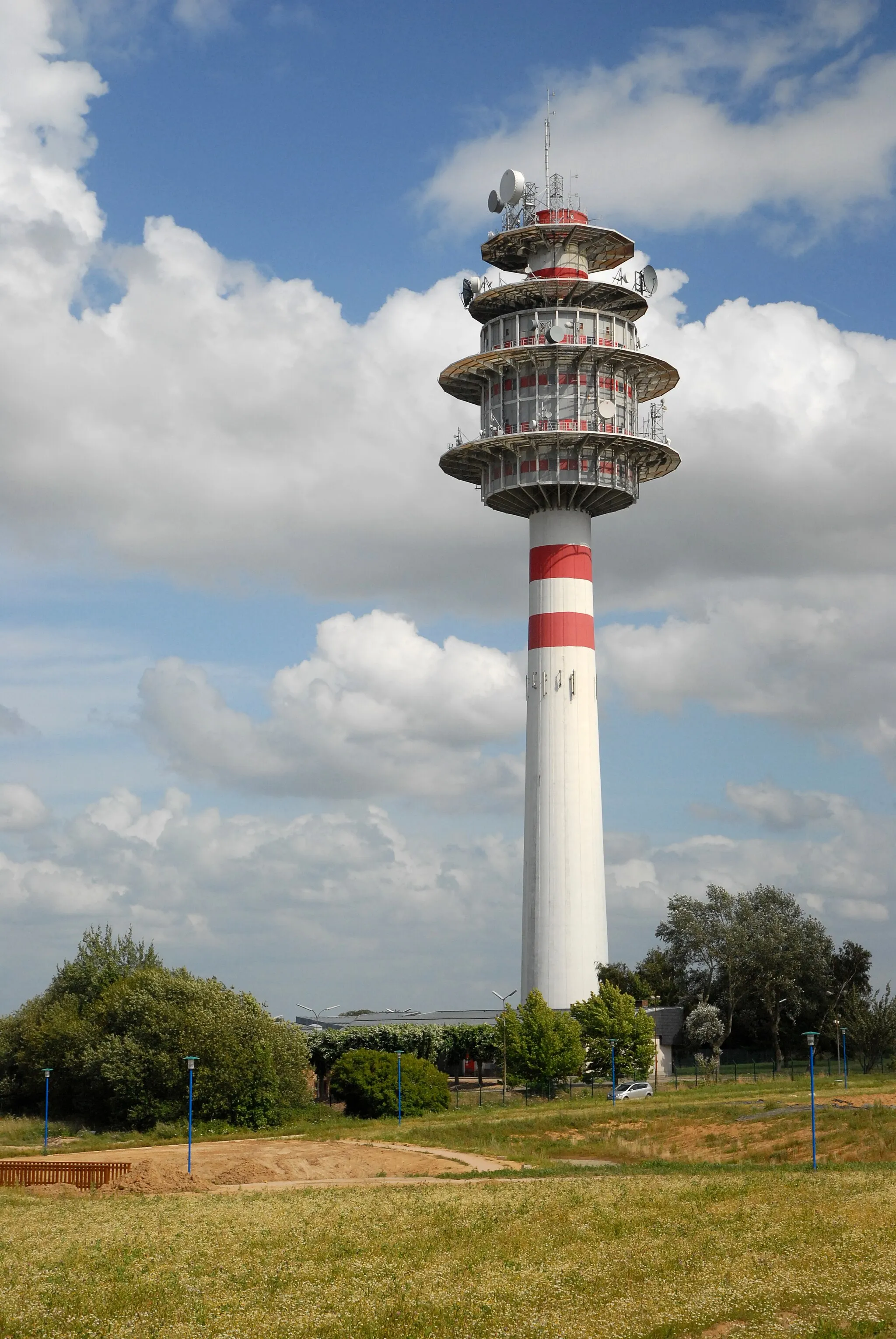
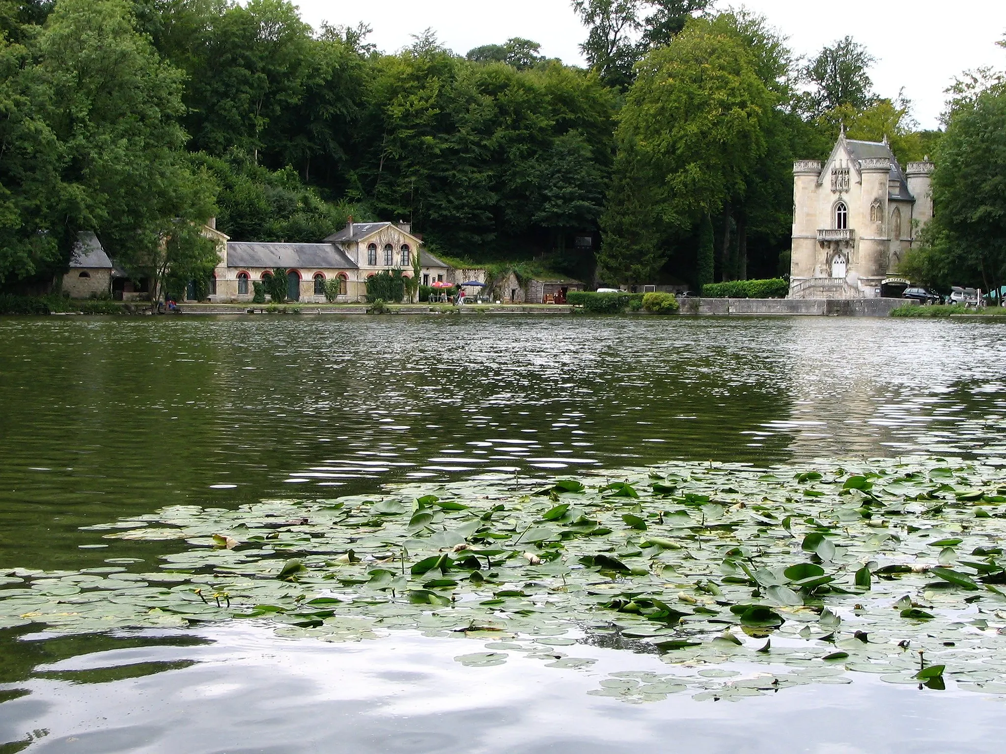
This adventurous gravel route takes you from Nogent-sur-Oise to Chantilly and covers a total distance of 80 kilometers with a total ascent of 561 meters. With highlights including Mont César and Château de Chantilly, this route offers stunning views and a mix of challenging terrains. The difficulty level is moderate to hard, suitable for well-trained amateurs. Rated with an epicness score of 4, it promises an exciting and memorable ride.
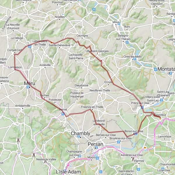
Explore the beautiful countryside around Gouvieux on this charming gravel ride.
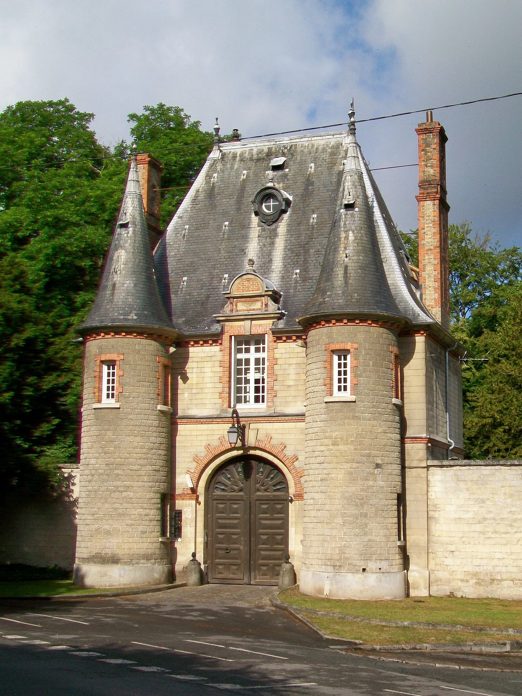
This gravel cycling route takes you through the picturesque countryside near Gouvieux, offering stunning views and a mix of rolling terrain. With a total ascent of 514 meters over a distance of 69 kilometers, this ride will challenge even well-trained amateurs. Along the way, you'll encounter several highlights, including Boran-sur-Oise, known for its historic charm, and Méru, a quaint town with charming streets. Don't miss Corbeil-Cerf, where you can stop for a break and enjoy the serenity of the rural surroundings. Overall, this route offers a great balance between difficulty and scenic beauty.
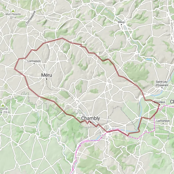
The Montataire Gravel Loop
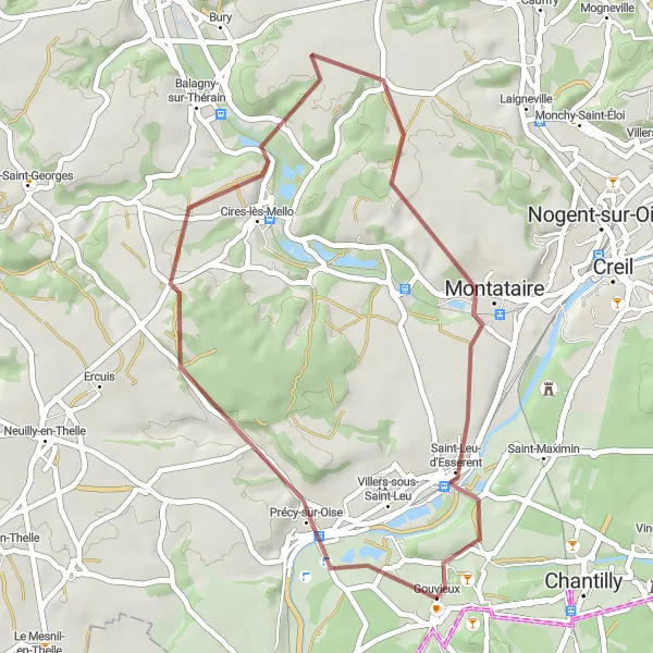
Explore the countryside and rolling hills around Montataire
This gravel route takes you through picturesque countryside and rolling hills near Montataire. With a total ascent of 330 meters and a distance of 36 kilometers, it's a great option for a scenic ride. The route starts in Gouvieux and passes through Montataire, offering beautiful views of the surrounding landscape. The difficulty level is moderate, suitable for well-trained amateurs. Rated with an epicness score of 3, it promises a satisfying ride.
Exploring Theelle Valley
Embark on a road cycling adventure through the scenic Theelle Valley, from Neuilly-en-Thelle to Gouvieux.
This road cycling route spans a distance of 92 km, offering a scenic journey through Theelle Valley. With an ascent of 602 meters, it's suitable for well-trained amateur cyclists who enjoy more challenging rides. The route starts in Neuilly-en-Thelle and takes you through picturesque landscapes and charming villages, including Cauvigny, Mont César, Bresles, Cambronne-lès-Clermont, Saint-Leu-d'Esserent, and finally Gouvieux. The highlights along the way include Neuilly-en-Thelle, a small village with a friendly atmosphere, and Gouvieux, known for its beautiful landscapes.
From Gouvieux to Lamorlaye
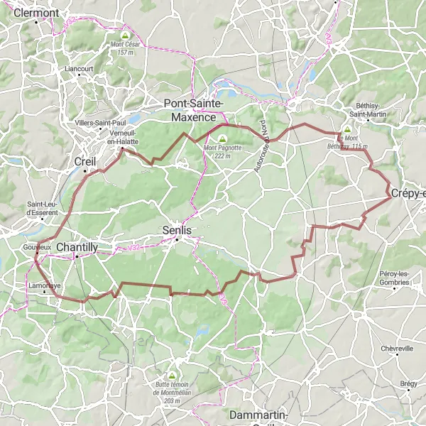
Embark on a gravel adventure from Gouvieux to Lamorlaye, crossing scenic surroundings and picturesque landmarks.
This gravel route offers a longer and more challenging adventure, covering a total distance of 91 km with an ascent of 534 meters. It starts in Gouvieux and takes you through beautiful countryside and charming villages, including Verneuil-en-Halatte, Néry, Le Mont Béthizay, Fresnoy-le-Luat, Butte aux Gens d'Armes, Thiers-sur-Thève, and finally Lamorlaye. With a higher difficulty level, it's suitable for well-trained amateur cyclists. The highlights along the way include Gouvieux, known for its scenic landscapes, and Lamorlaye, a charming village with picturesque scenery.
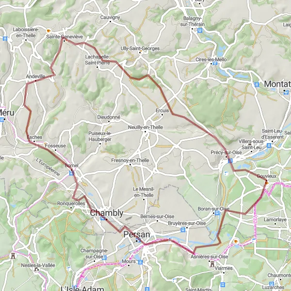
Explore the scenic Oise River Valley with its charming villages, from Beaumont-sur-Oise to Gouvieux.
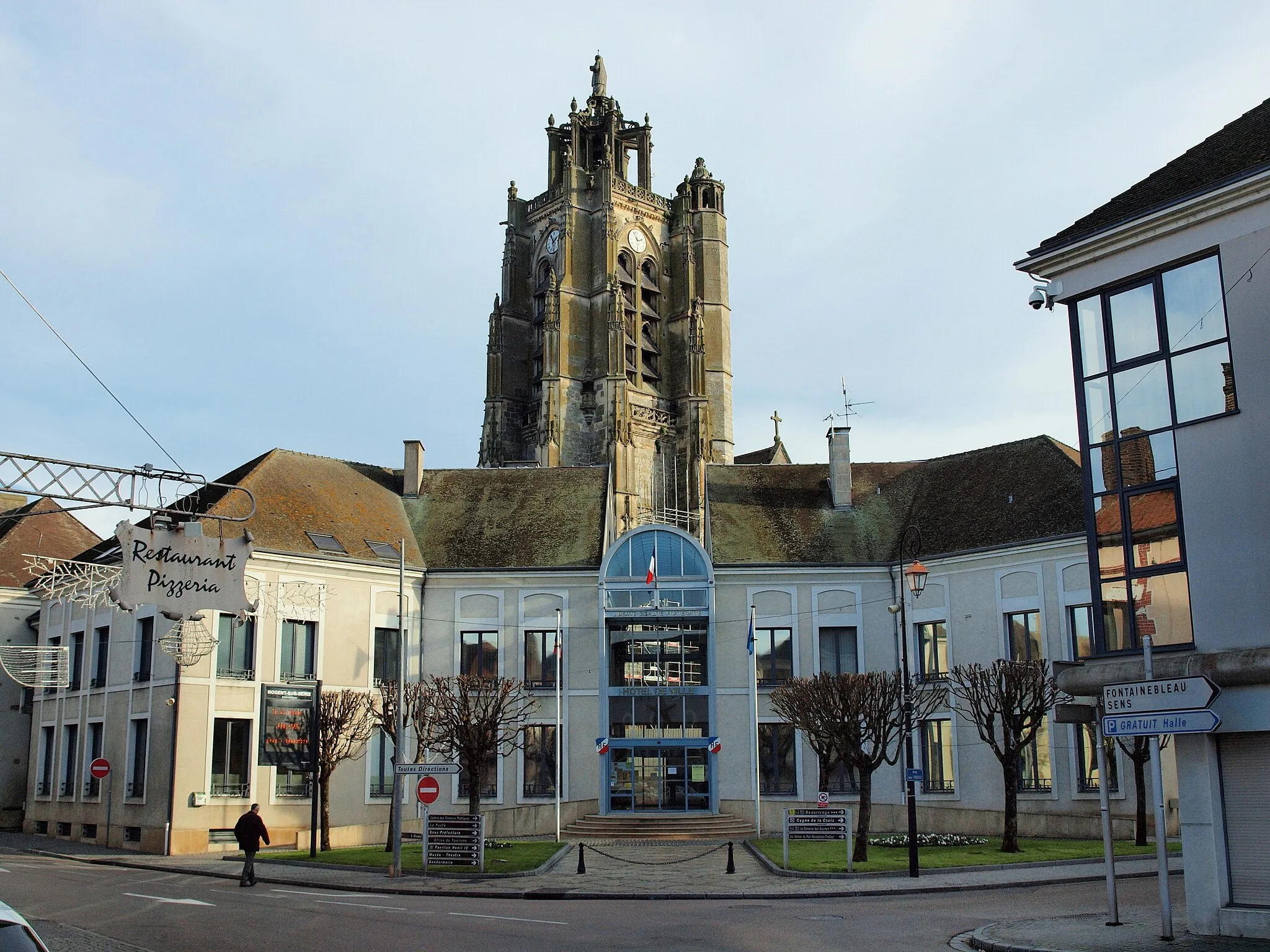
This route takes you on a picturesque journey through the Oise River Valley, showcasing the beauty of the area. With a moderate difficulty level, it's suitable for amateur cyclists who are reasonably trained. The route covers a total distance of 63 km and includes an ascent of 378 meters. Along the way, you'll pass through Beaumont-sur-Oise, Belle-Église, Andeville, Ercuis, and finally reach Gouvieux. The highlights of this route include Beaumont-sur-Oise, a charming town that offers a glimpse into the region's history, and Gouvieux, the final destination known for its beautiful landscapes and cycling opportunities.
Embark on a gravel adventure to Beaumont-sur-Oise and discover its hidden treasures
This gravel route takes you on an adventure through the scenic countryside to Beaumont-sur-Oise. With a total ascent of 507 meters and a distance of 75 kilometers, it's a moderately challenging route suitable for well-trained amateurs. Highlights include Beaumont-sur-Oise and Corbeil-Cerf, offering glimpses into the region's history and culture. The difficulty level is moderate, making it an enjoyable ride for experienced cyclists. Rated with an epicness score of 3, it promises a memorable journey.
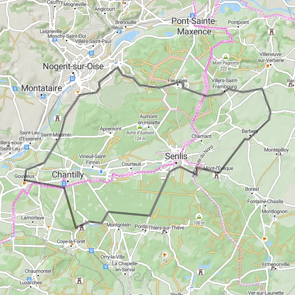
Enjoy a delightful road ride from Gouvieux to Chantilly, passing through picturesque villages and beautiful landscapes.
Starting in Gouvieux, this 59 km road ride takes you through scenic landscapes and charming villages before reaching Chantilly. With a moderate difficulty level, it's perfect for well-trained amateur cyclists. Throughout the journey, you'll pass by Creil, Fleurines, Brasseuse, Senlis, and finally Chantilly. The route features an ascent of 264 meters and showcases the natural beauty of the region. The highlights include Creil, known for its historical sites and ancient architecture, and Chantilly, renowned for its opulent Château and vast forest.
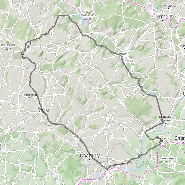
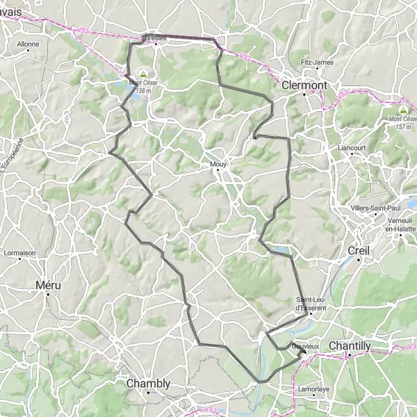
Embark on a thrilling road trip from Boran-sur-Oise to Saint-Leu-d'Esserent
This road trip takes you on a thrilling cycling adventure from Boran-sur-Oise to Saint-Leu-d'Esserent. With a total ascent of 610 meters and a distance of 90 kilometers, it's a challenging route suitable for experienced cyclists. Highlights include Boran-sur-Oise and Mouy, offering opportunities to explore historic towns and enjoy scenic views. The difficulty level is moderate to hard, making it a rewarding and satisfying ride. Rated with an epicness score of 4, this route promises an epic cycling experience.
Cycling routes nearby:


Nearby regions: