Cycling Adventure to Chaumontel
A road cycling route starting from Gouvieux
Embark on a thrilling road cycling adventure from Gouvieux to Chaumontel, passing by stunning landscapes and enchanting landmarks.
Map
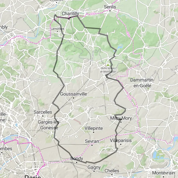
This road cycling route offers an exhilarating adventure, covering a total distance of 106 km with an ascent of 559 meters. Starting in Gouvieux, it takes you on a scenic journey through picturesque landscapes and charming villages, including Thiers-sur-Thève, Butte témoin de Montmélian, Le Mesnil-Amelot, Montfermeil, Arnouville, Chaumontel, and finally back to Gouvieux. With its longer distance and moderate difficulty level, it's most suitable for well-trained amateur cyclists. The highlights along the way include Thiers-sur-Thève, renowned for its visual appeal and charming streets, and Chaumontel, a picturesque village surrounded by beautiful countryside.
road
106 km
559 m
Tough
Route profile
Highlights on the route
0 km
0 km
Start: Gouvieux Village centerGouvieux: Cycling through peaceful countryside and exploring the Chantilly Forest in the Picardie region.
Gouvieux is a locality in the Picardie region of France. From a cyclist's perspective, Gouvieux offers peaceful cycling routes with scenic views. The surrounding countryside is beautiful and provides a tranquil setting for road and gravel cycling. One well-known cycling spot near Gouvieux is the Chantilly Forest, which offers a variety of off-road trails. Overall, Gouvieux is a great option for cyclists looking for a serene cycling experience in the Picardie region.15 km
15 km
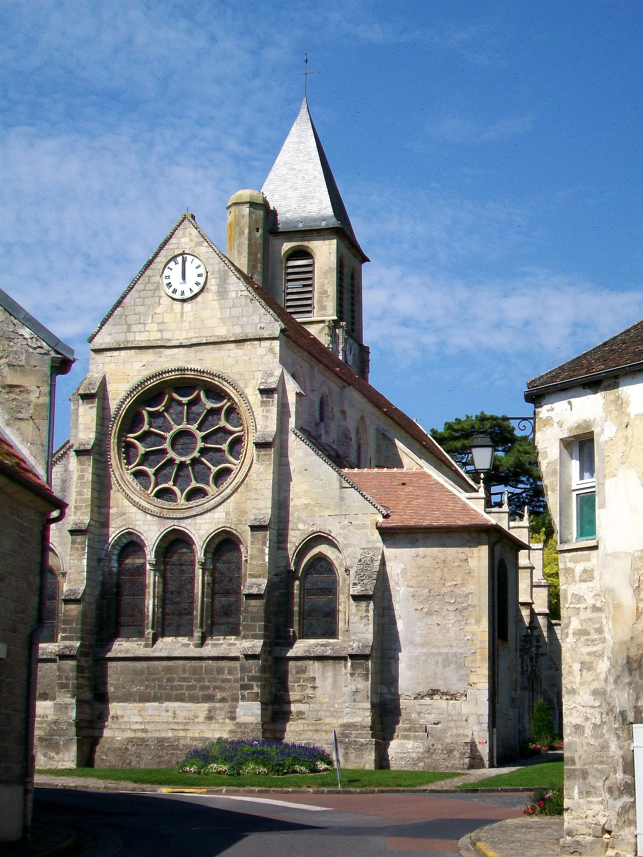
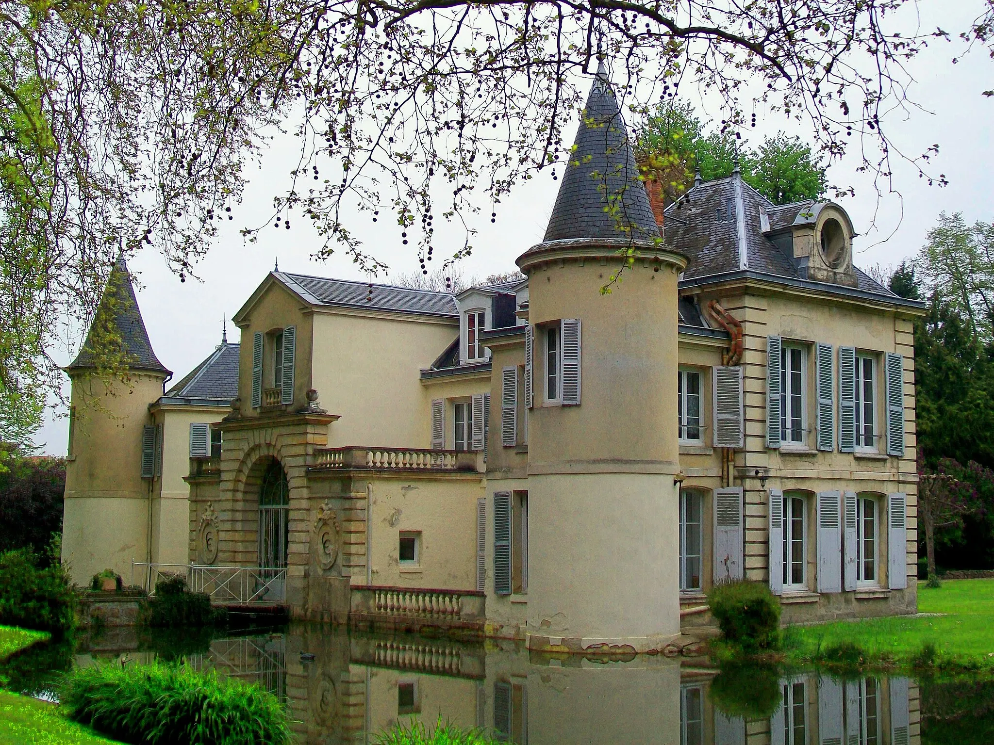
Thiers-sur-ThèveVillageThiers-sur-Thève offers a visually appealing experience with its charming architecture and beautiful natural surroundings.
24 km
24 km
Butte témoin de Montmélian203 mPeakThe Butte témoin de Montmélian provides stunning views from its hilltop location, offering a memorable stop along the route.
37 km
37 km
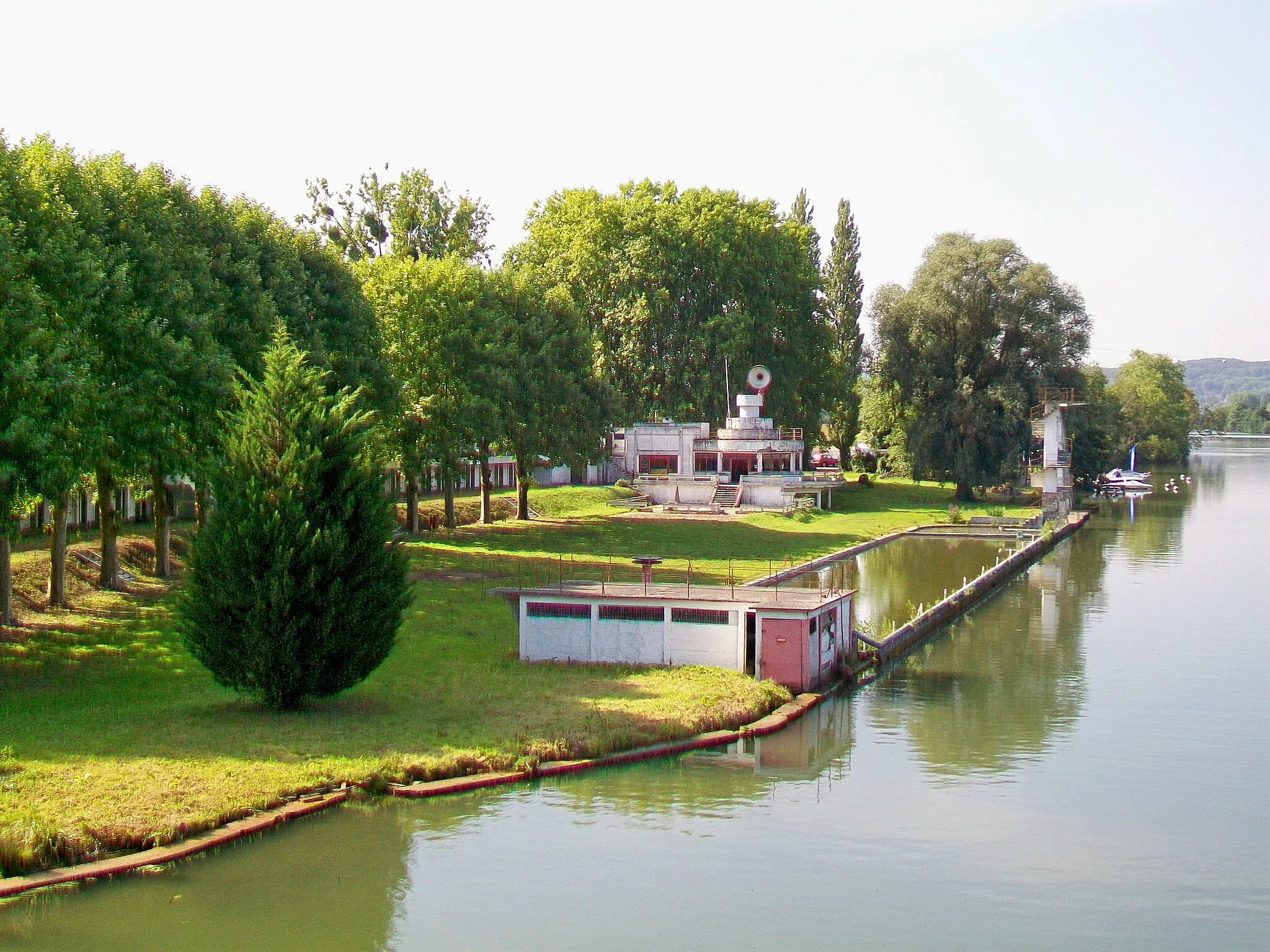
Le Mesnil-AmelotVillageLe Mesnil-Amelot provides a peaceful and serene route, showcasing the tranquility of the region's countryside.
59 km
59 km
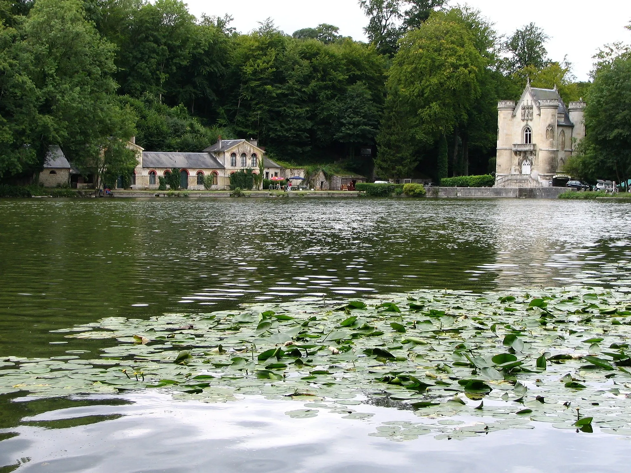
MontfermeilTownMontfermeil is a small town with historic sites and beautiful rural landscapes, perfect for an immersive cycling experience.
79 km
79 km
ArnouvilleTownArnouville ensures a delightful ride through the charming surroundings of the region, immersing cyclists in the local atmosphere.
98 km
98 km
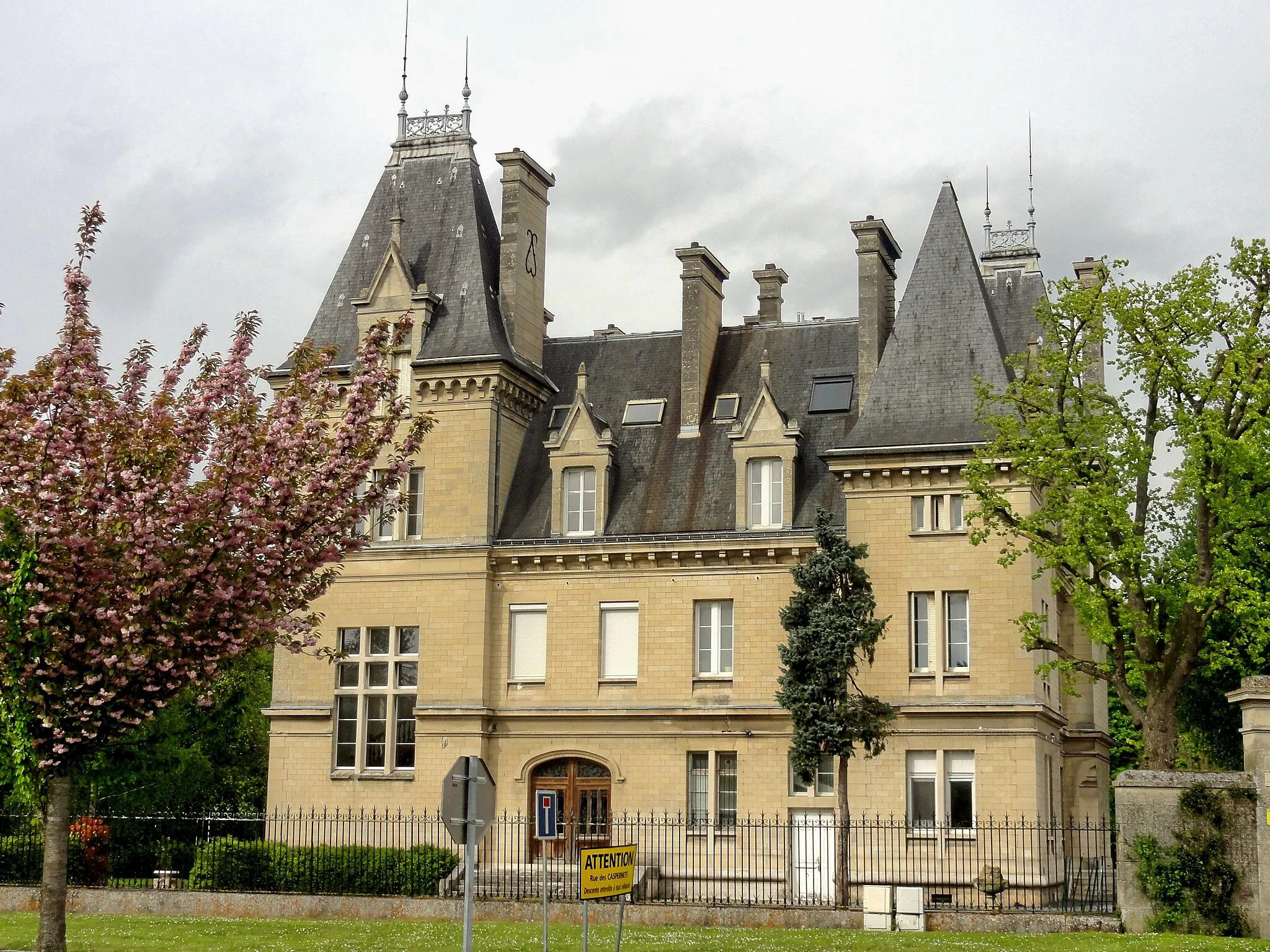
ChaumontelVillageChaumontel offers a scenic landscape characterized by picturesque countryside and peaceful charm.
106 km
106 km
GouvieuxVillageGouvieux, the starting and finishing point, offers beautiful landscapes throughout the tour, creating a breathtaking cycling experience.
106 km
106 km
Finish: Gouvieux Village centerGouvieux: Cycling through peaceful countryside and exploring the Chantilly Forest in the Picardie region.
Cycling routes from Gouvieux:
Exploring Oise River Valley Luzarches Road Loop The Montataire Gravel Loop From Gouvieux to Lamorlaye Explore Beaumont-sur-Oise on a Gravel Adventure Boran-sur-Oise to Saint-Leu-d'Esserent Road Trip Charming Road Ride to Chantilly Exploring Theelle Valley Nogent-sur-Oise to Chantilly Gravel Adventure Cycling Adventure to Chaumontel Scenic Gravel Tour near Gouvieux Gouvieux and Surrounding Gravel Ride
Cycling routes nearby: