Luzarches Road Loop
A road cycling route starting from Gouvieux
Experience the scenic countryside on the Luzarches road loop
Map
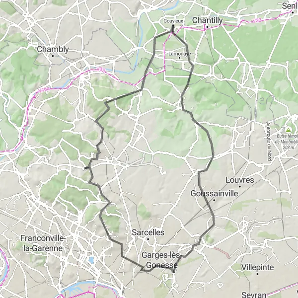
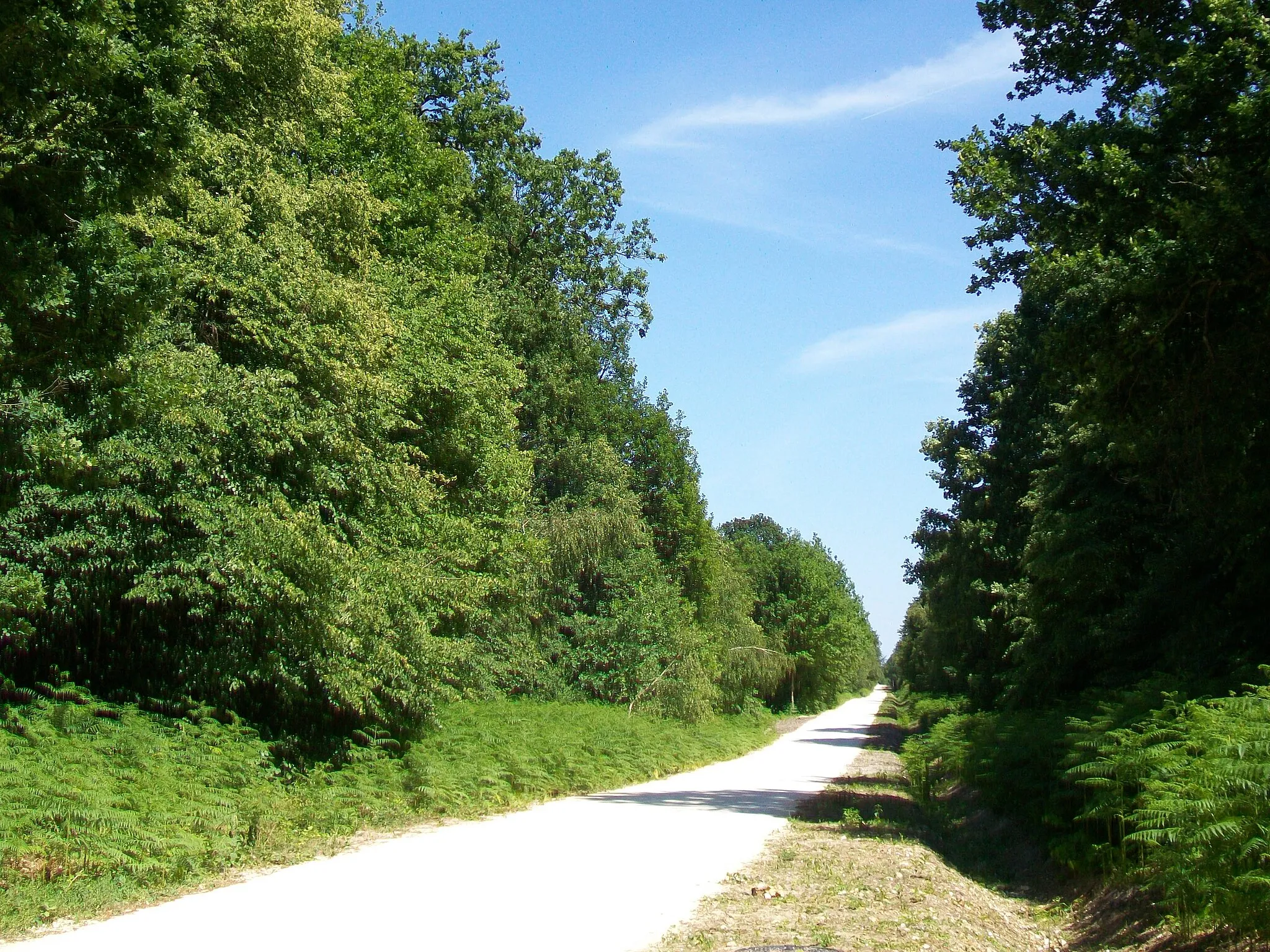
The road loop from Gouvieux to Luzarches offers a picturesque cycling experience through the scenic countryside. With a total ascent of 714 meters and a distance of 75 kilometers, this route is suitable for well-trained amateurs. It includes highlights such as Luzarches and Asnières-sur-Oise, providing opportunities to immerse yourself in the local culture and natural beauty. The difficulty level is moderate to hard, making it an adventurous and challenging ride. Rated with an epicness score of 3, this route is perfect for cyclists looking for an enjoyable outing.
road
75 km
714 m
Tough
Route profile
Highlights on the route
0 km
0 km
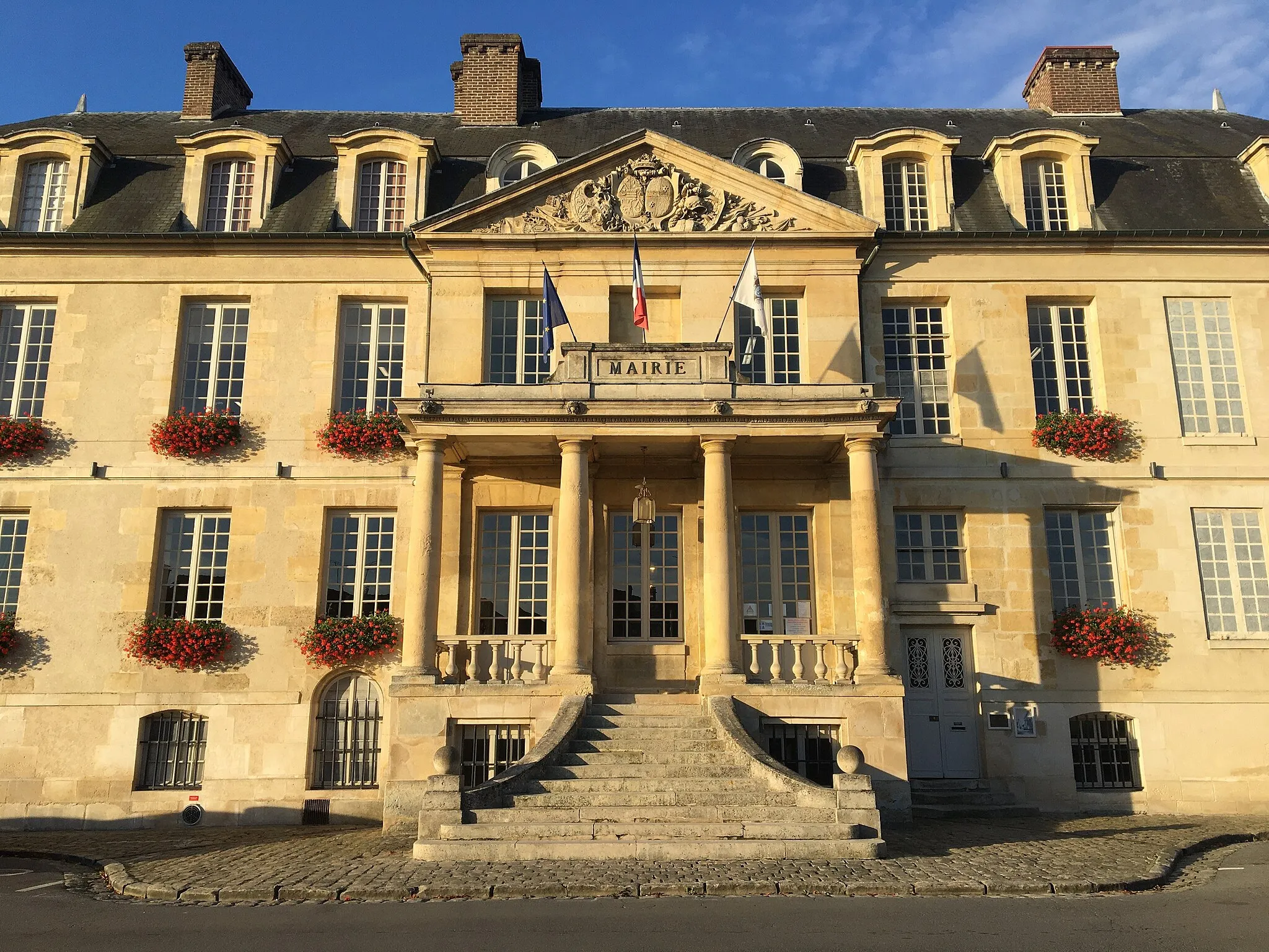
Start: Gouvieux Village centerGouvieux: Cycling through peaceful countryside and exploring the Chantilly Forest in the Picardie region.
Gouvieux is a locality in the Picardie region of France. From a cyclist's perspective, Gouvieux offers peaceful cycling routes with scenic views. The surrounding countryside is beautiful and provides a tranquil setting for road and gravel cycling. One well-known cycling spot near Gouvieux is the Chantilly Forest, which offers a variety of off-road trails. Overall, Gouvieux is a great option for cyclists looking for a serene cycling experience in the Picardie region.10 km
10 km
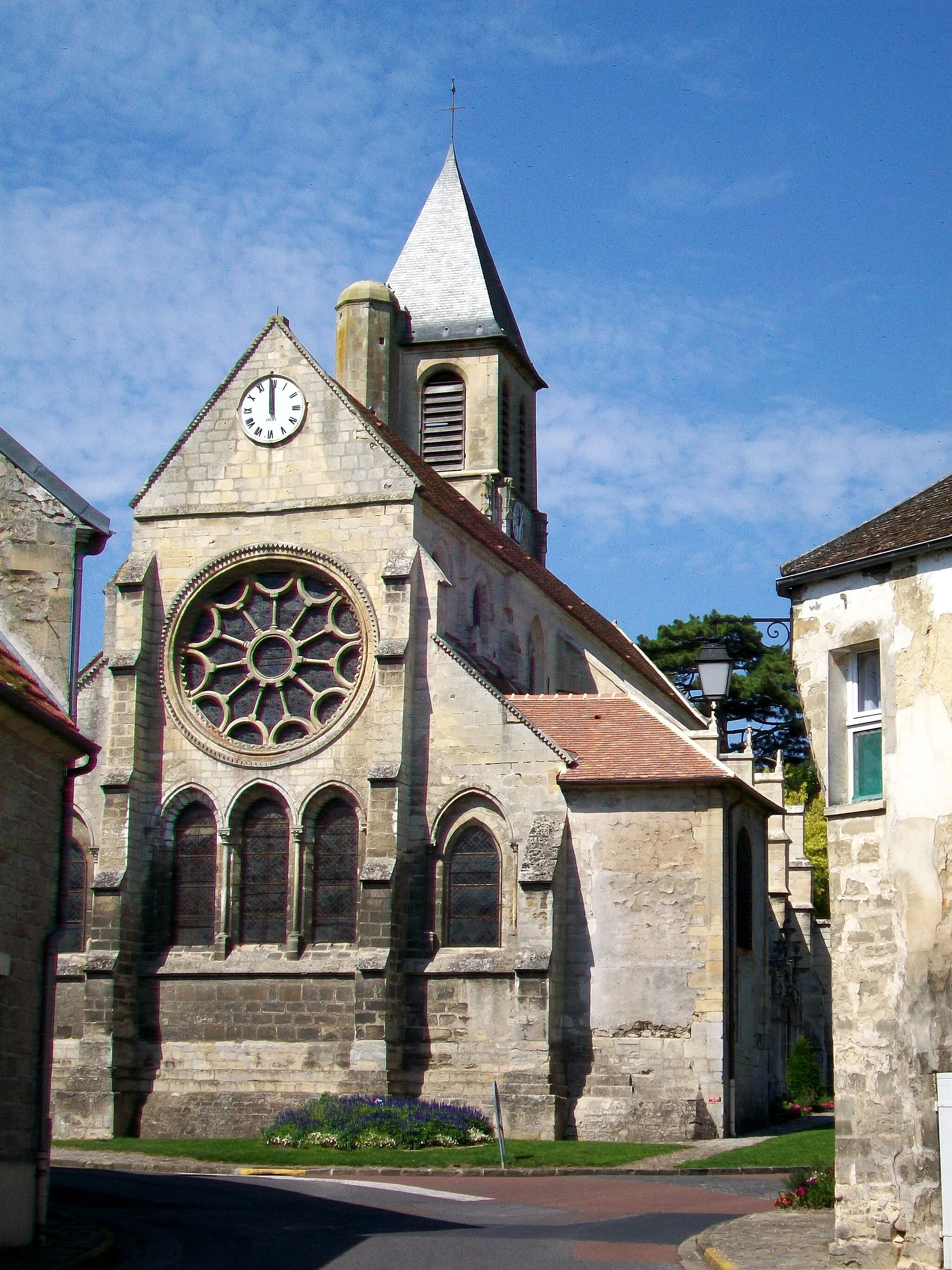
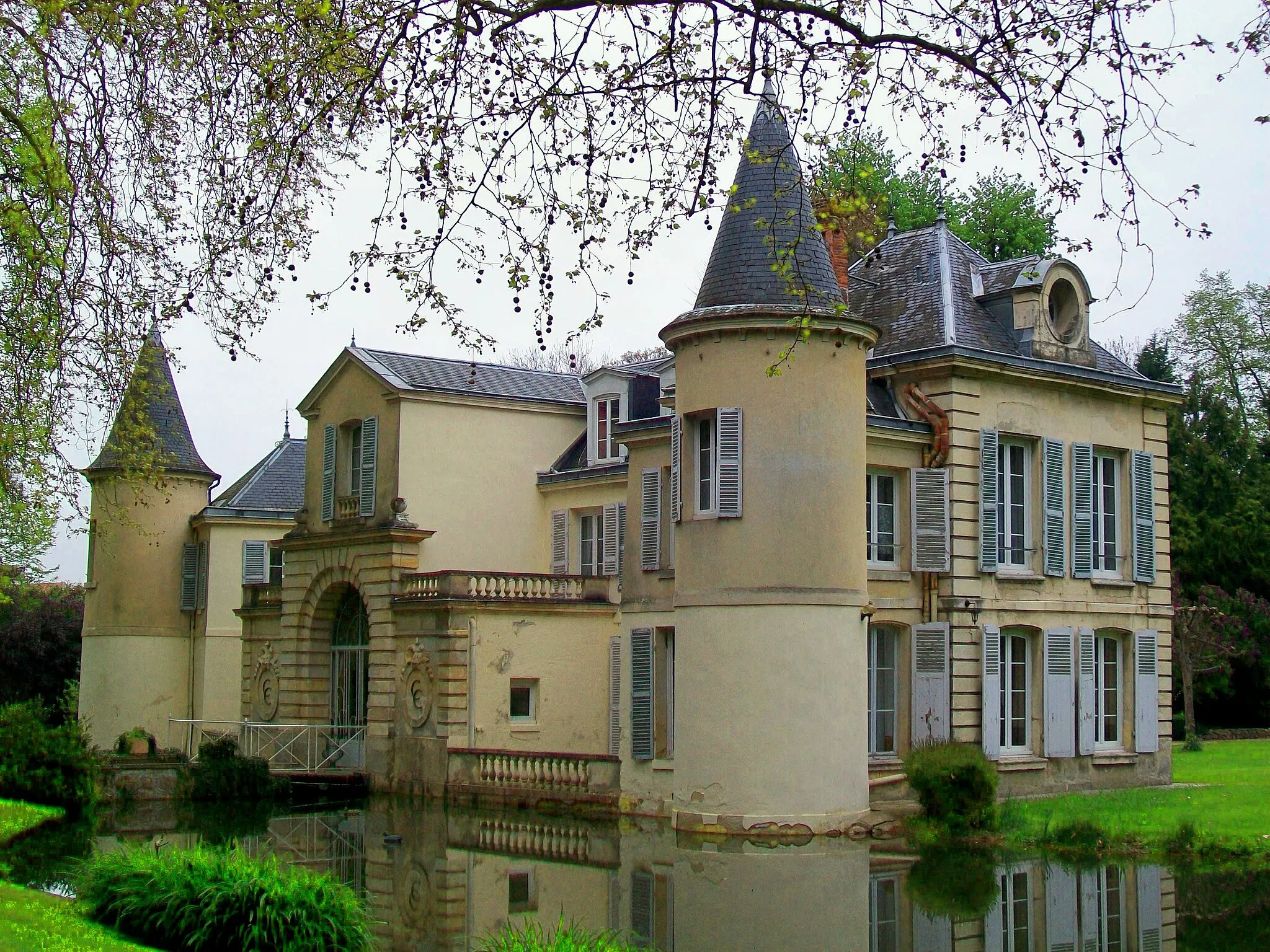
LuzarchesVillageExperience the charm of Luzarches, a lively town with an impressive Romanesque church and beautiful natural surroundings.
28 km
28 km
GonesseTownExplore Gonesse, a historic town with charming streets and beautiful architecture.
38 km
38 km
Pierrefitte-sur-SeineTownVisit Pierrefitte-sur-Seine, a town filled with fascinating history, including a medieval abbey and historic buildings.
54 km
54 km
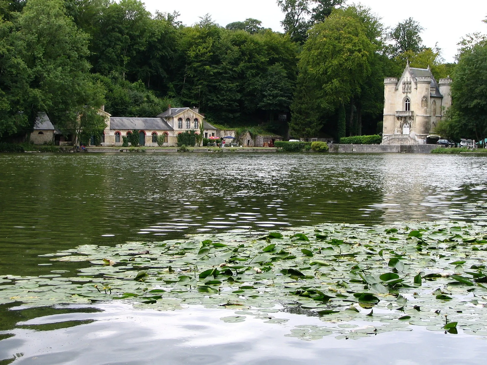
Baillet-en-FranceVillageDiscover the scenic village of Baillet-en-France, known for its picturesque landscapes and historic sites.
66 km
66 km
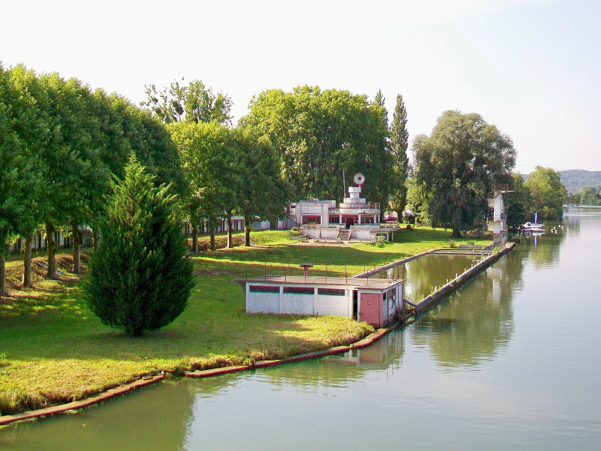
Asnières-sur-OiseVillagePass through Asnières-sur-Oise, a charming village known for its idyllic natural surroundings.
75 km
75 km
GouvieuxVillageStart and finish in Gouvieux, a delightful town famous for its horse racing and equestrian culture.
75 km
75 km
Finish: Gouvieux Village centerGouvieux: Cycling through peaceful countryside and exploring the Chantilly Forest in the Picardie region.
Cycling routes from Gouvieux:
Exploring Oise River Valley Luzarches Road Loop The Montataire Gravel Loop From Gouvieux to Lamorlaye Explore Beaumont-sur-Oise on a Gravel Adventure Boran-sur-Oise to Saint-Leu-d'Esserent Road Trip Charming Road Ride to Chantilly Exploring Theelle Valley Nogent-sur-Oise to Chantilly Gravel Adventure Cycling Adventure to Chaumontel Scenic Gravel Tour near Gouvieux Gouvieux and Surrounding Gravel Ride
Cycling routes nearby: