Gravel Adventure
A gravel cycling route starting from Guignicourt
Architectural and Cultural Highlights
Map
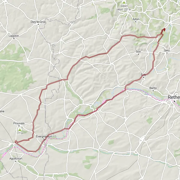
This gravel route near Guignicourt takes you through a journey of architectural wonders and cultural highlights. With a total ascent of 407 meters and a distance of 85 kilometers, it offers a moderate challenge for well-trained amateurs. The route showcases the enchanting village of Banogne-Recouvrance, known for its picturesque charm. Don't miss the Mont de Chaumont, a historic hilltop with breathtaking views. The Château-Porcien is another highlight, standing tall with its medieval architecture. Avaux and Guignicourt complete the route by providing glimpses of the rich history and vibrant atmosphere of the region.
gravel
85 km
407 m
Tough
Route profile
Highlights on the route
0 km
0 km
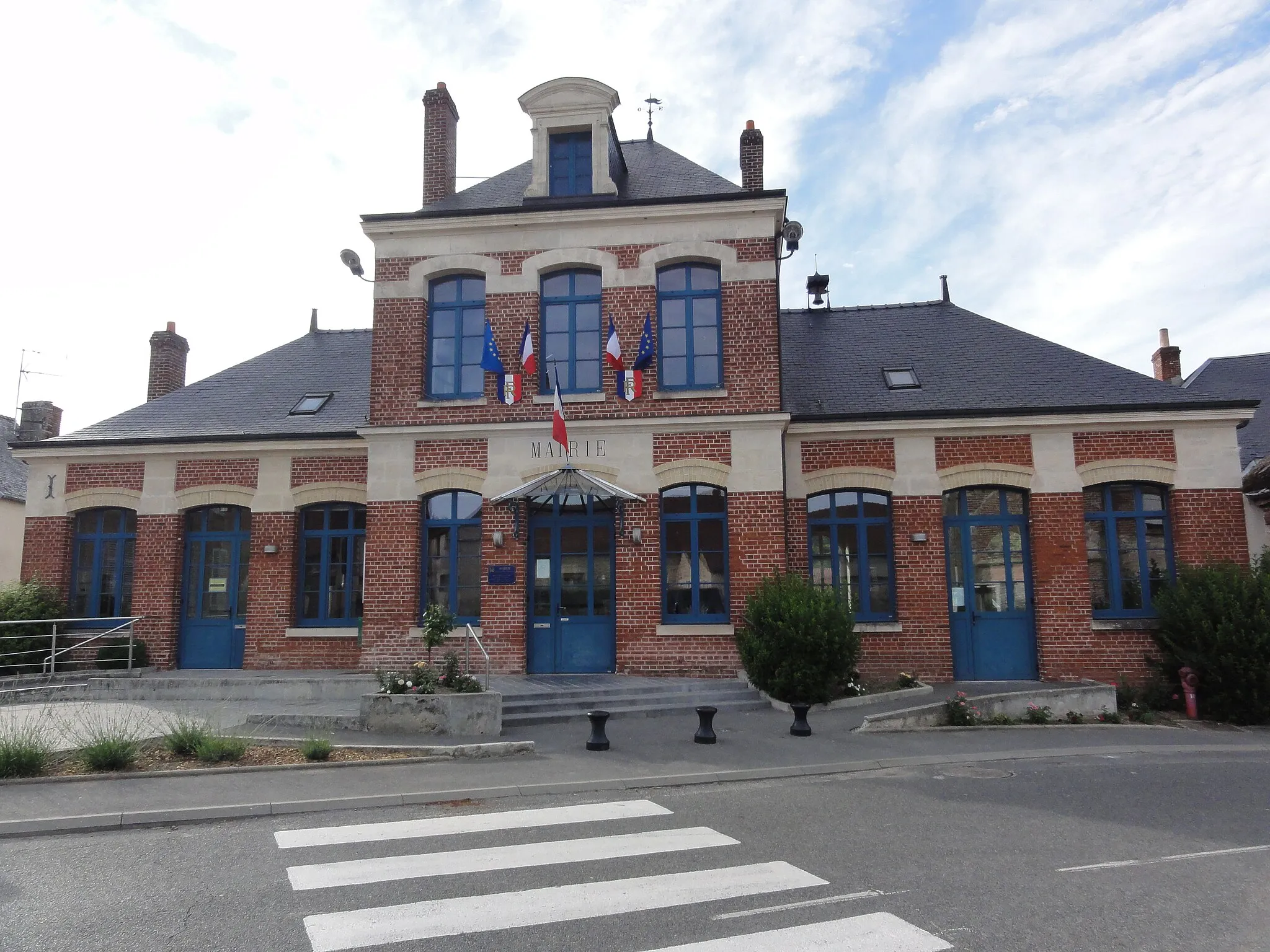
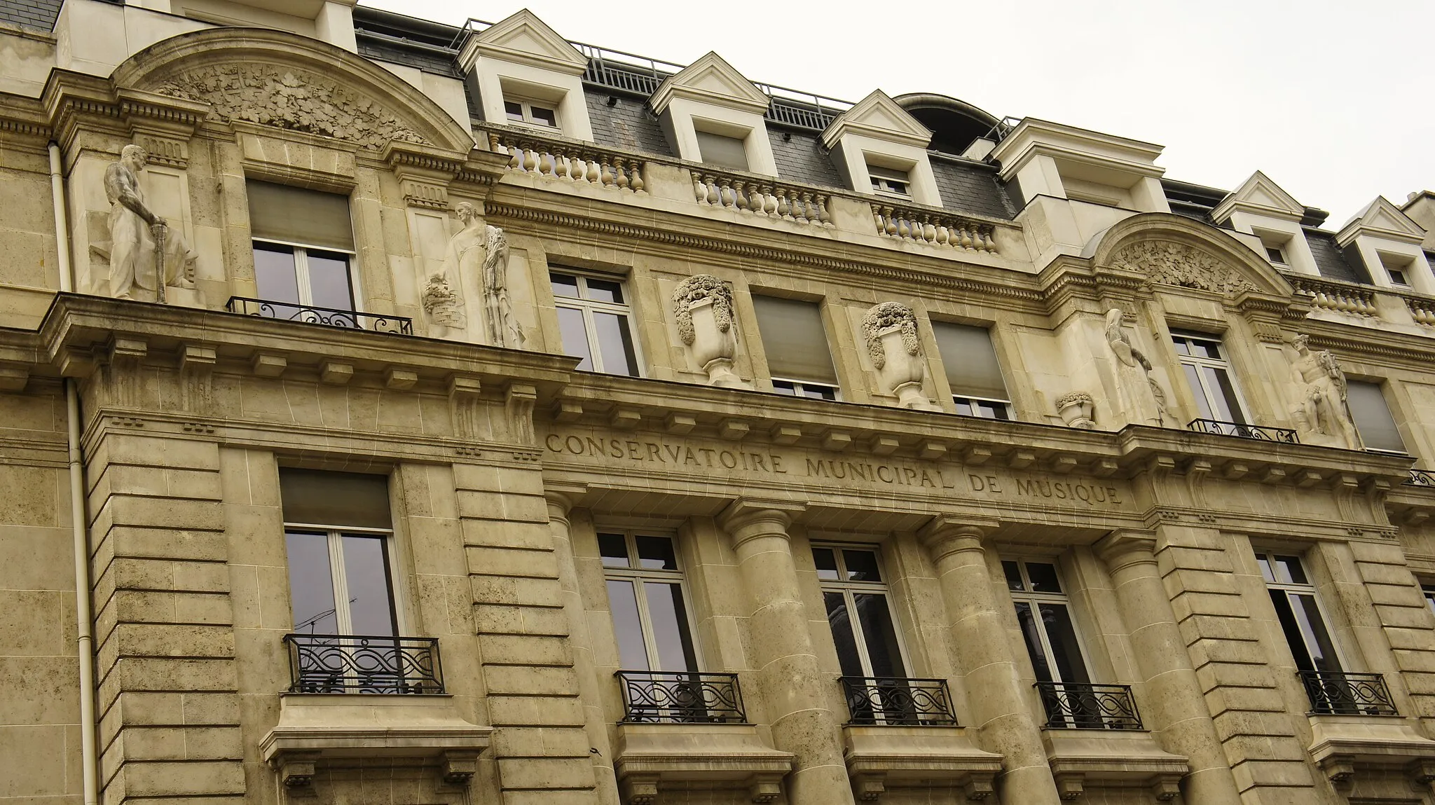
Start: Guignicourt Village centerGuignicourt: Scenic Cycling in Guignicourt
Guignicourt is a charming town in the Picardie region of France that offers great cycling opportunities. Cyclists can enjoy scenic routes through the surrounding countryside, with plenty of rolling hills and quiet roads to explore. One popular cycling spot near Guignicourt is the Mont-Août, a challenging climb with stunning panoramic views at the top. The town itself is also worth exploring, with its historic architecture and vibrant atmosphere. Whether you're a road cyclist or prefer gravel trails, Guignicourt has something to offer for everyone.15 km
15 km
LorVillageLocated 15 kilometers along the route, Lor is a hidden gem known for its tranquility and scenic beauty.
23 km
23 km
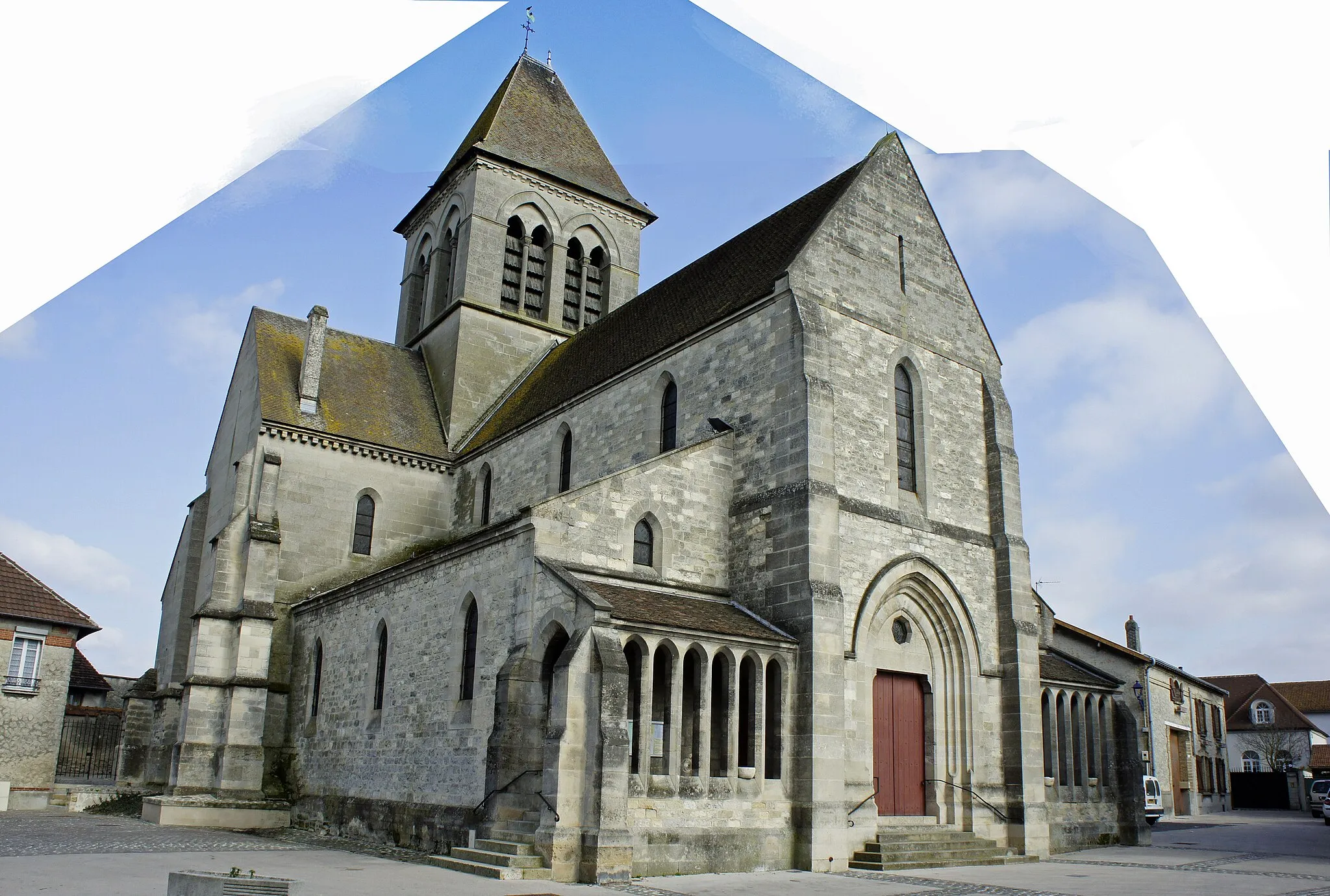
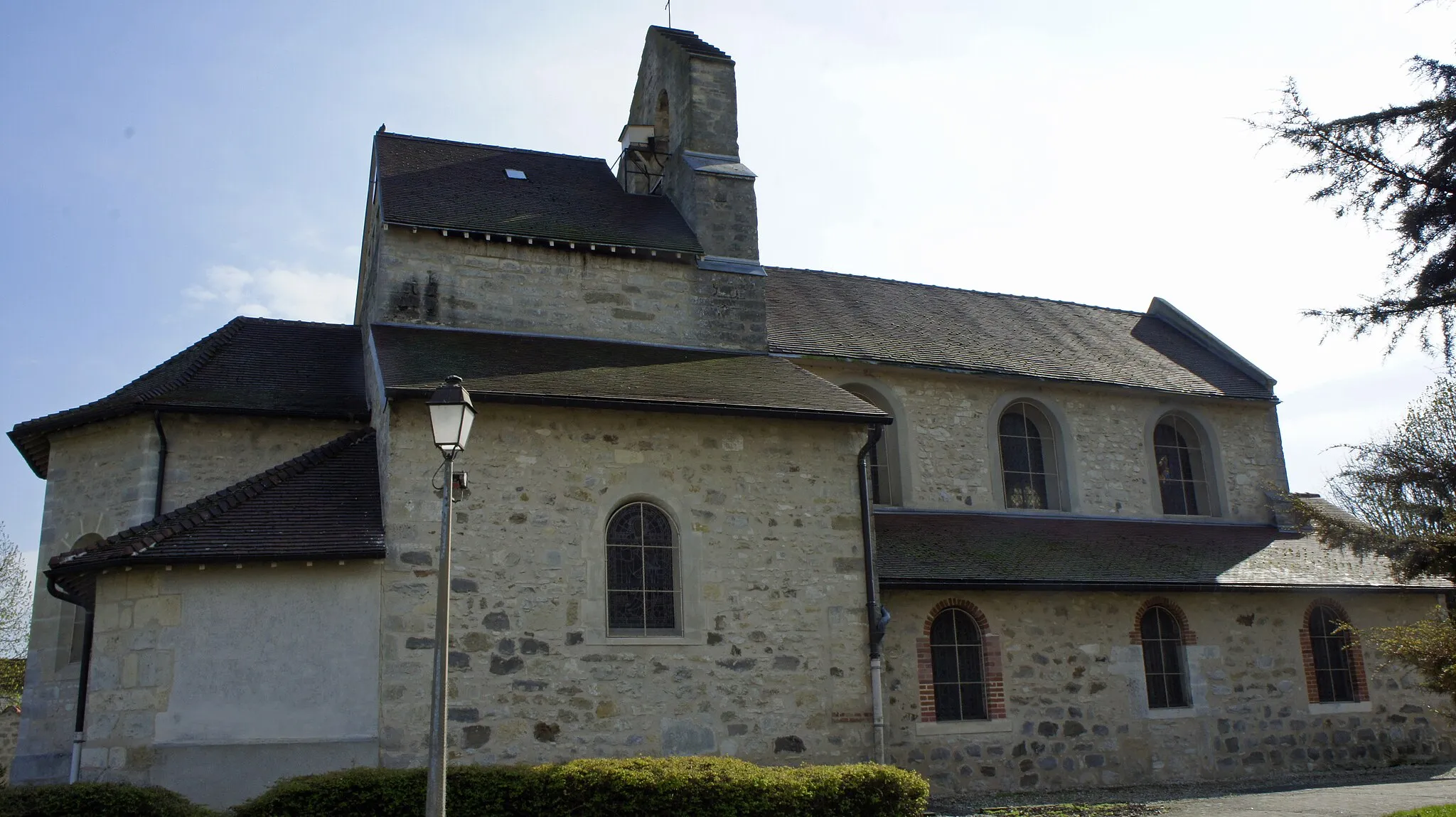
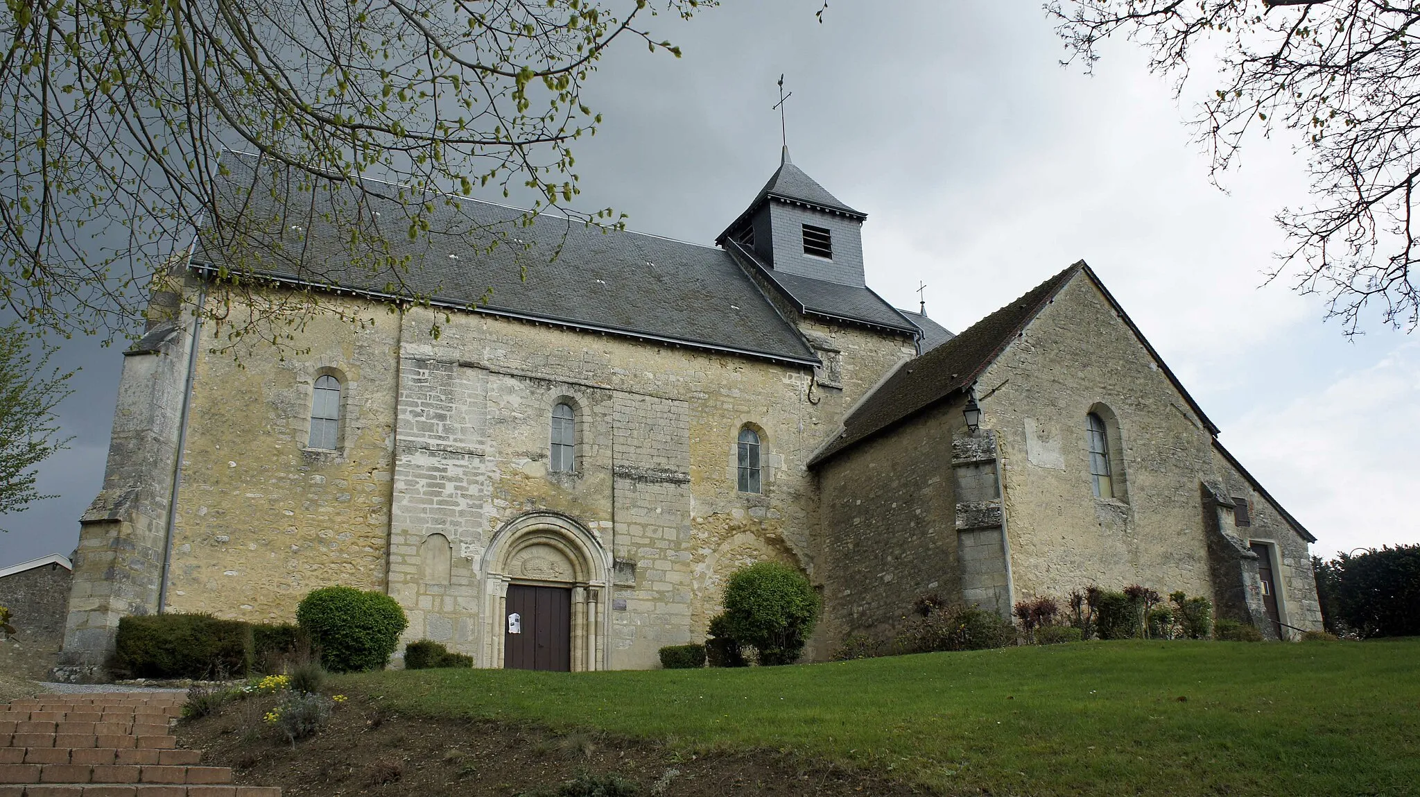
Banogne-RecouvranceVillageBanogne-Recouvrance, situated at a distance of 23 kilometers, features well-preserved half-timbered houses and a charming village center.
34 km
34 km
Mont de Chaumont200 mPeakMont de Chaumont, 34 kilometers into the route, offers an awe-inspiring panorama of the surrounding countryside.
57 km
57 km
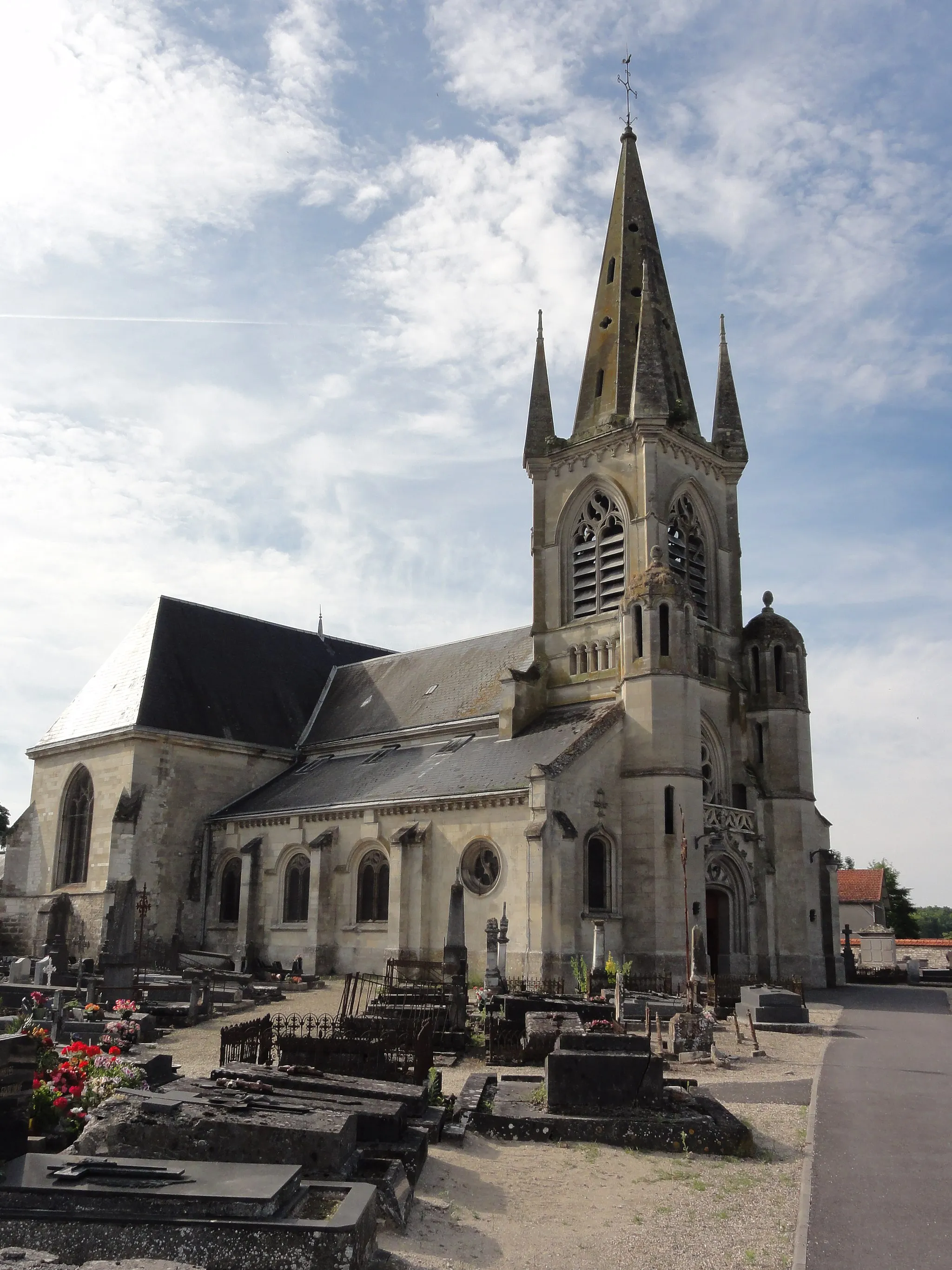
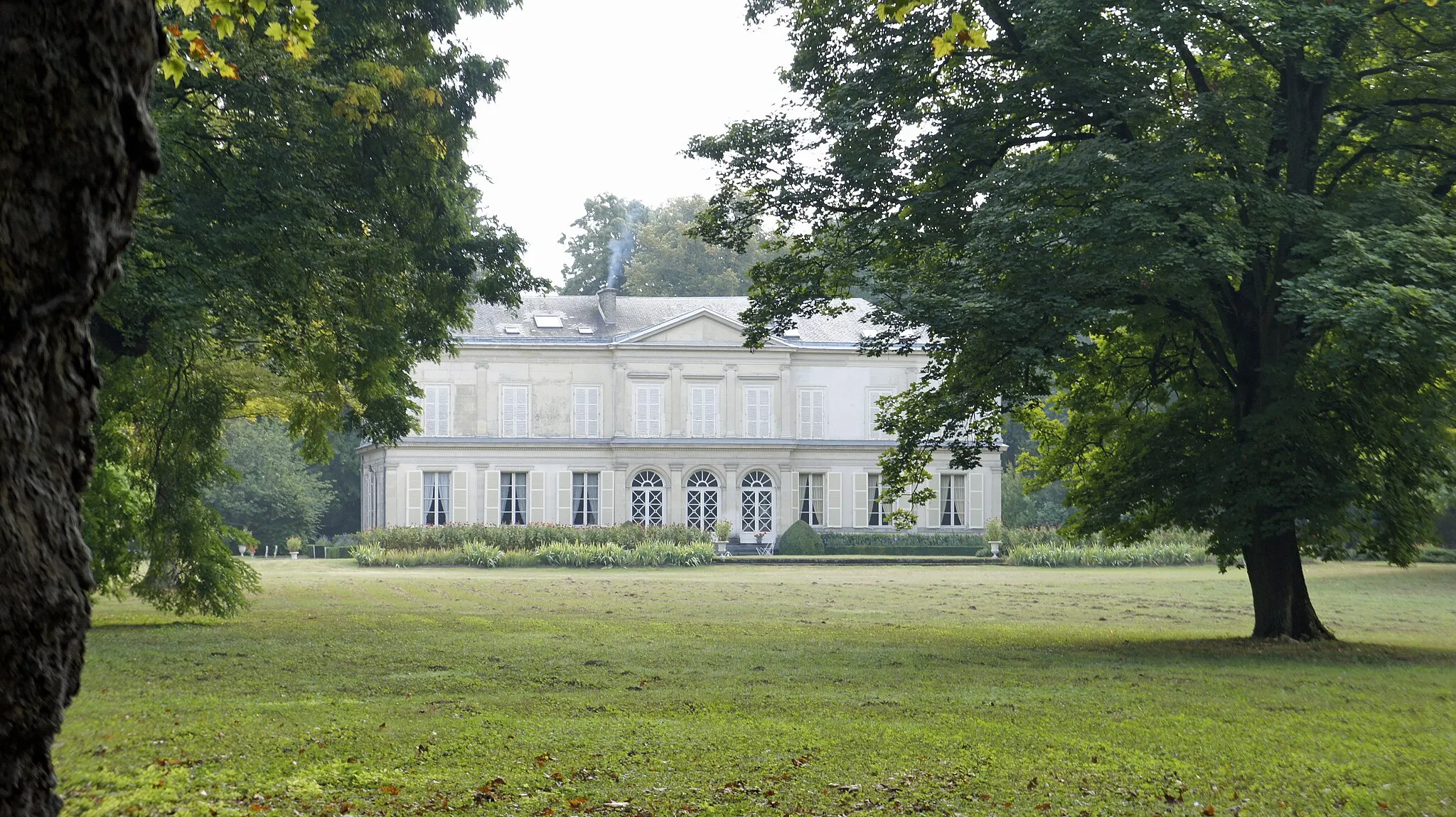
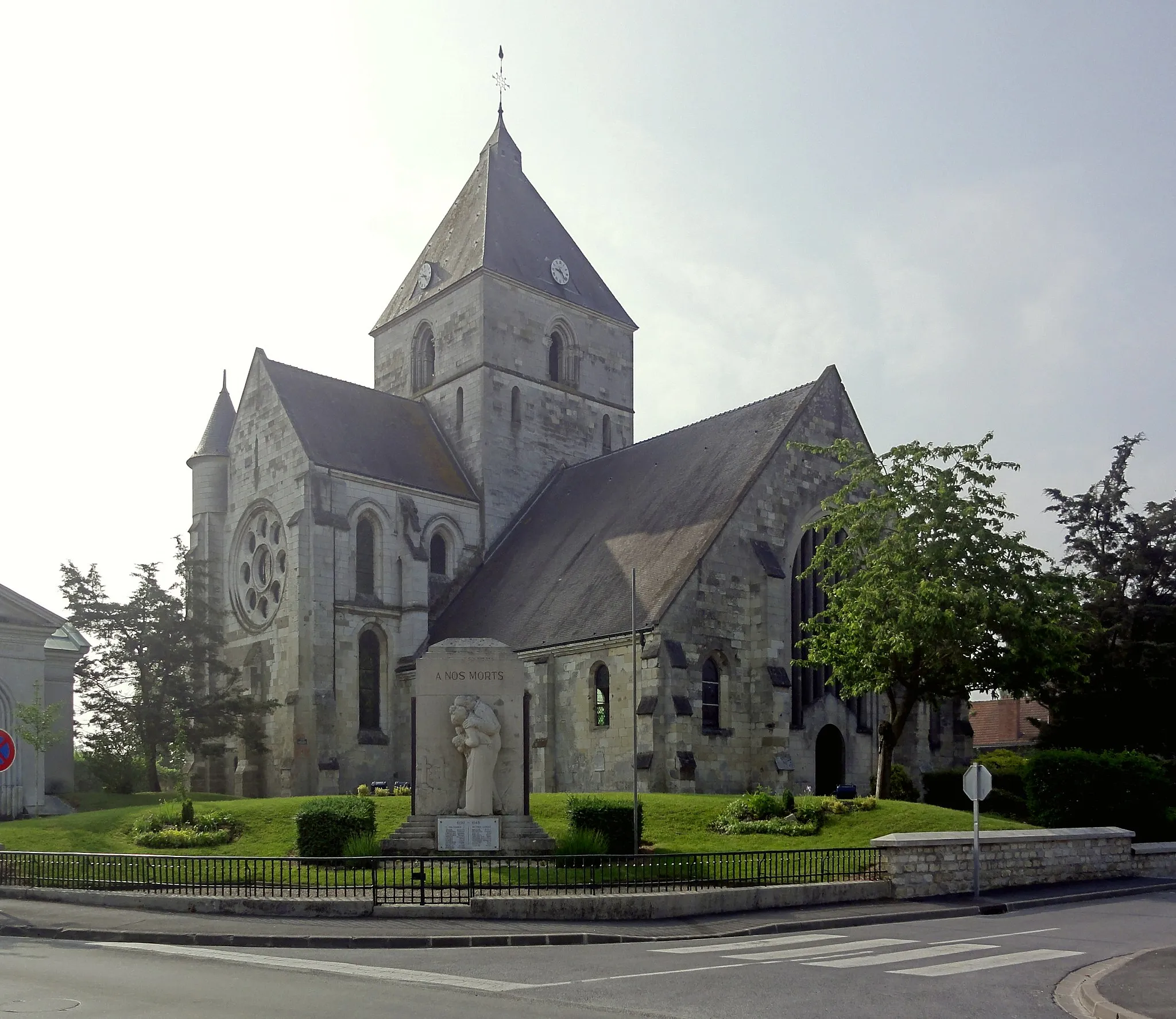
Château-PorcienVillageChâteau-Porcien, at a distance of 57 kilometers, showcases medieval architecture and provides historical insights.
74 km
74 km
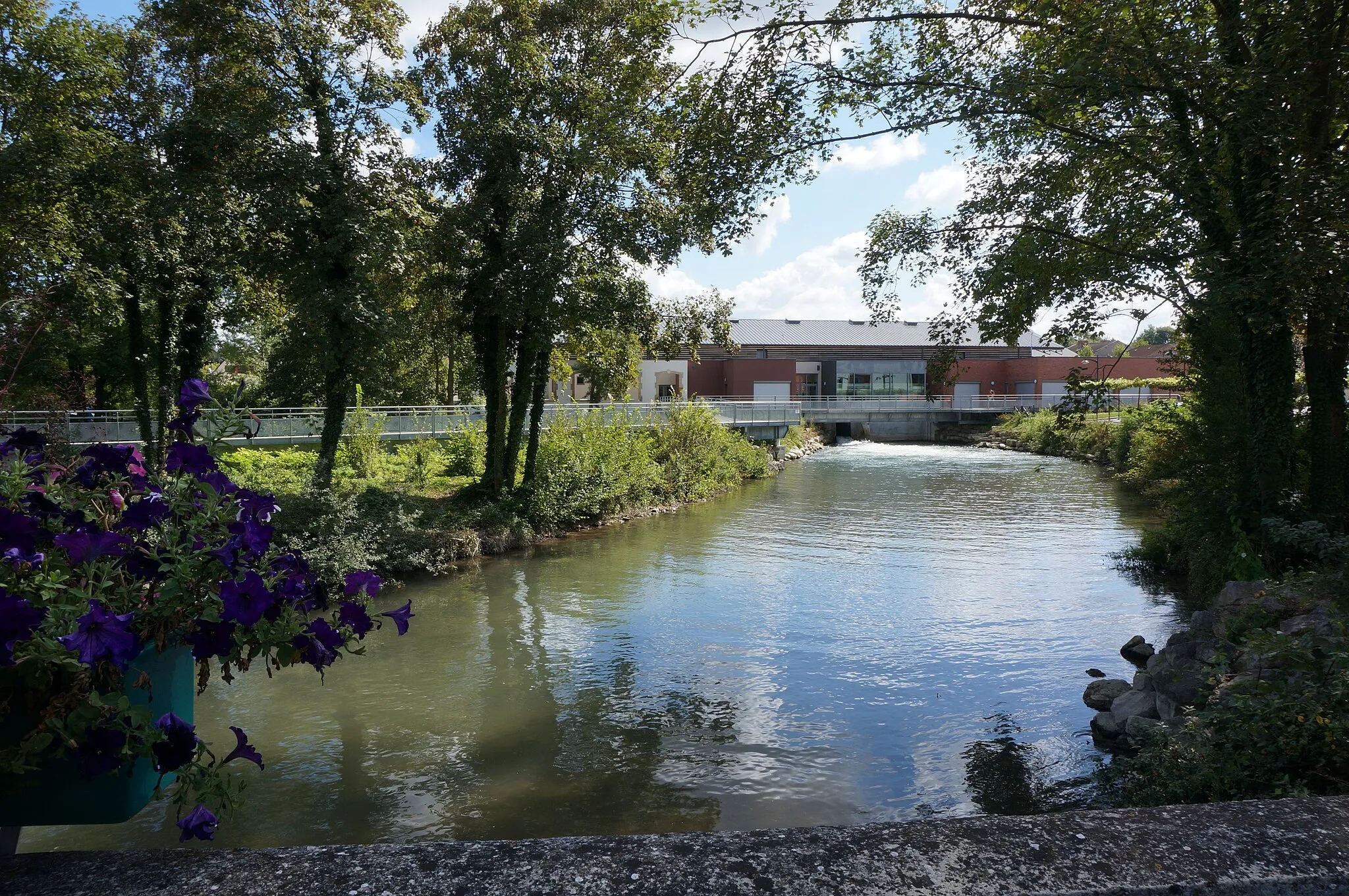
AvauxVillageAvaux offers a serene atmosphere and beautiful landscapes, making it a perfect spot for a peaceful break along the route.
85 km
85 km
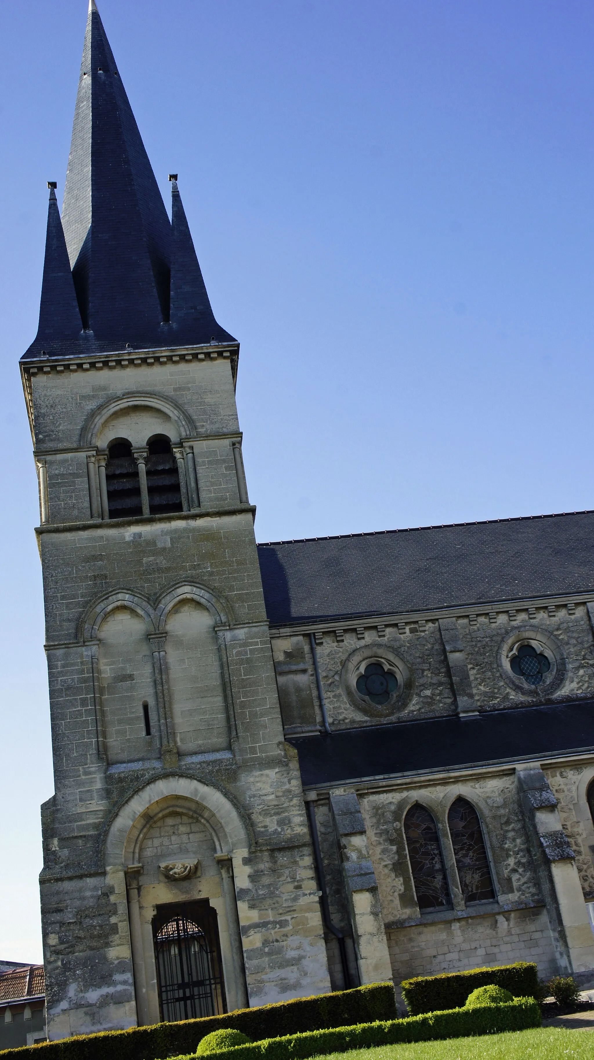
GuignicourtVillageGuignicourt, the starting point and endpoint of the route, is a historic town with charming streets and a fascinating past.
85 km
85 km
Finish: Guignicourt Village centerGuignicourt: Scenic Cycling in Guignicourt
Cycling routes nearby: