Leisurely cycling in Picardie
Cycling routes from Nogent-sur-Oise
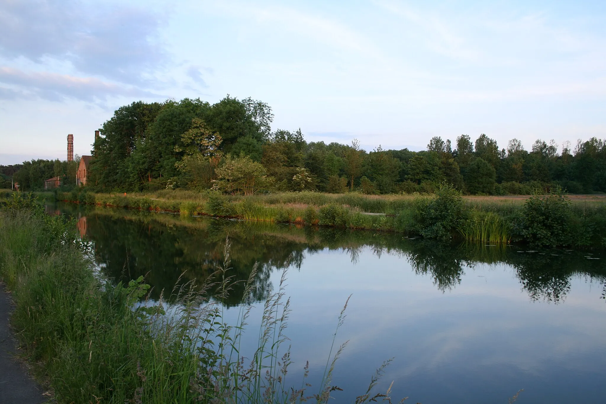
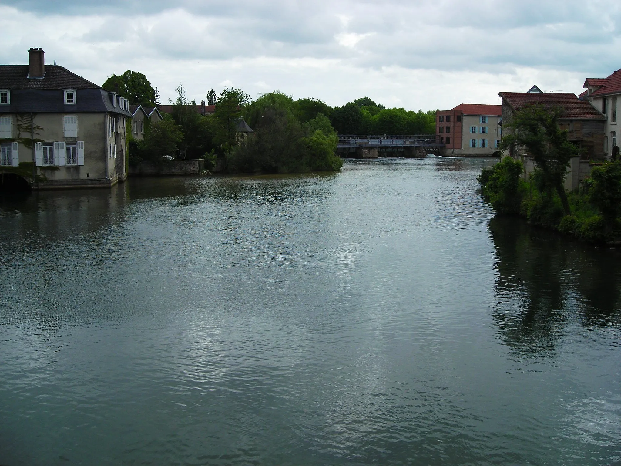
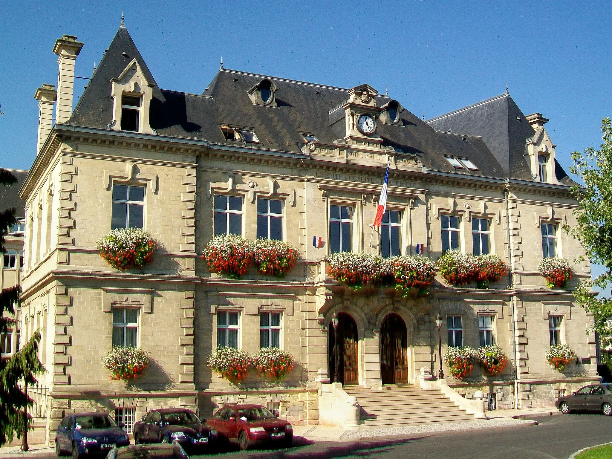
Nogent-sur-Oise, located in the Picardie region of France, provides moderate cycling opportunities. The locality features a mix of flat and slightly hilly terrain, making it suitable for leisurely bike rides. While there are no well-known climbs or famous cycling spots nearby, cyclists can enjoy exploring the countryside and charming villages in the region. Nogent-sur-Oise is a suitable destination for cyclists looking for a relaxing and scenic cycling experience.
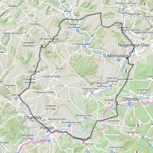
Embark on an adventurous gravel ride through the scenic countryside near Creil
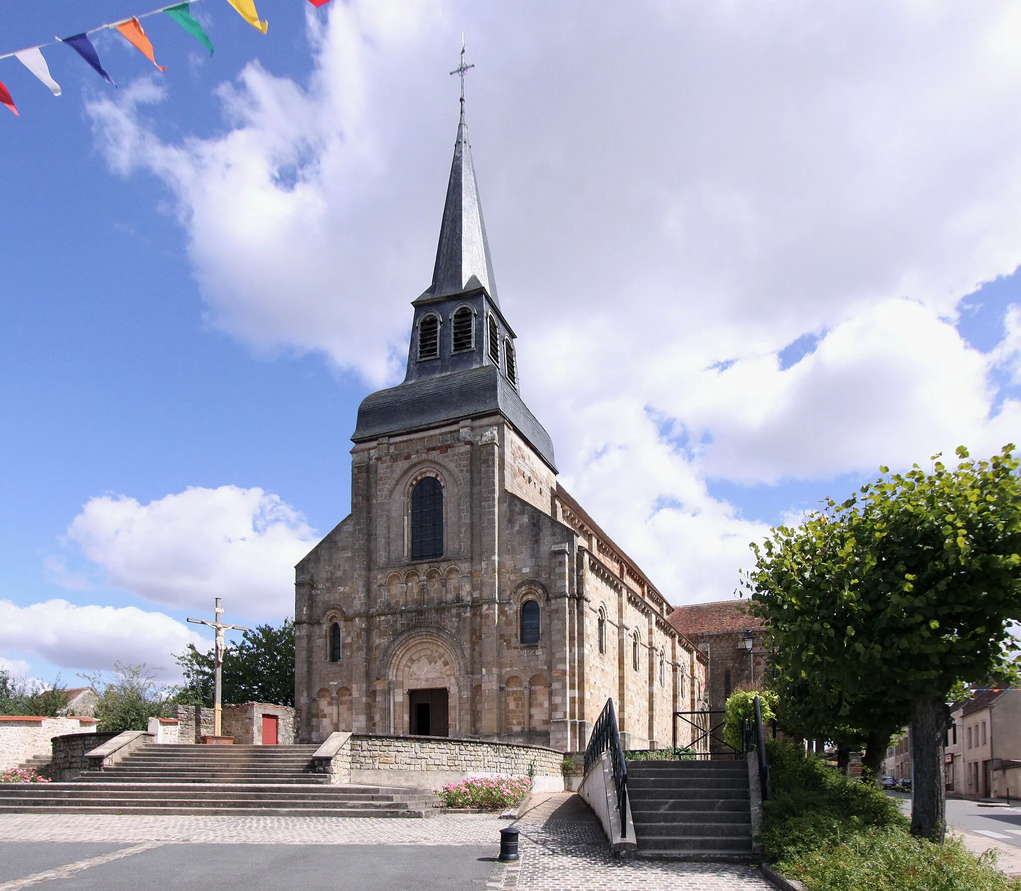
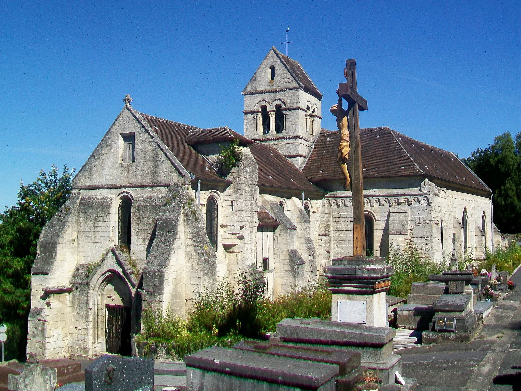
This gravel biking route takes you on an adventure through the scenic countryside near Creil. With a total ascent of 391 meters and a distance of 44 kilometers, this route offers a challenging but rewarding ride. The difficulty level is rated 3 out of 5, suitable for experienced gravel riders. The epicness level is rated 3 out of 5, promising a thrilling and memorable cycling experience. Highlights of the route include Creil, Cramoisy, Ully-Saint-Georges, and Laigneville. Creil is a historic town with a charming old town and beautiful architecture. Cramoisy is a village surrounded by lush green fields and scenic views. Ully-Saint-Georges offers off-road trails through picturesque forests and countryside. Laigneville is a small village with a peaceful countryside atmosphere and a lovely church.
Picturesque gravel route with highlights in Chamant, Othis, Moussy-le-Neuf, Fosses, and Creil
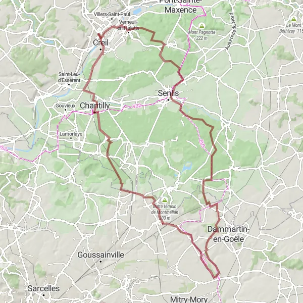
Experience the scenic beauty of Picardie while cycling on this gravel route from Verneuil-en-Halatte to Creil. The route covers a total distance of 93 km with a total ascent of 557 m. Highlights along the way include the charming village of Chamant, the historical town of Othis, the picturesque Moussy-le-Neuf, the idyllic Fosses, and the beautiful city of Creil. Discover hidden gems and enjoy the peaceful countryside while riding through this distinctive route.
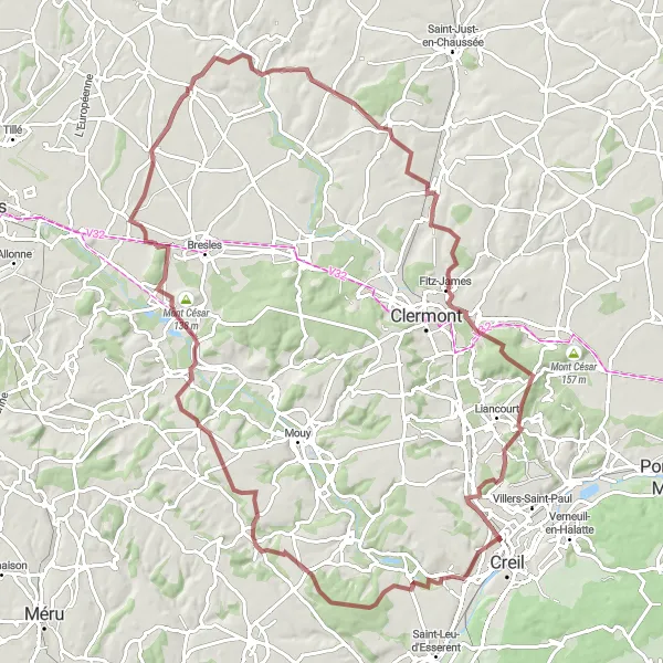
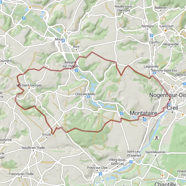
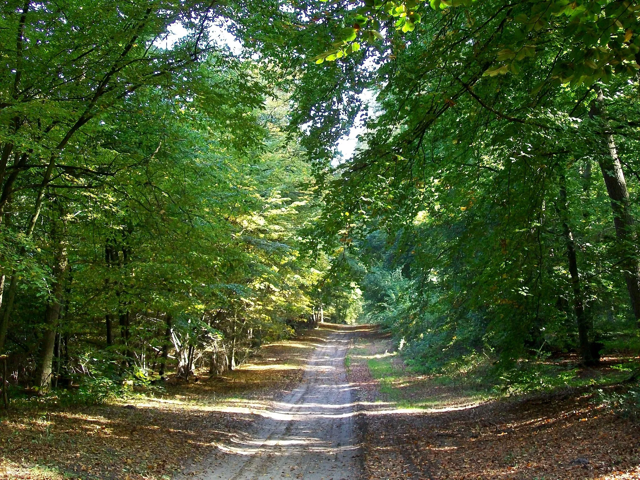
Explore the picturesque countryside around Montataire on this gravel biking route
This gravel biking route takes you through the beautiful countryside near Montataire. The route features a total ascent of 743 meters and covers a distance of 93 kilometers. The difficulty level is rated 4 out of 5, suitable for very well-trained amateurs. The epicness level is rated 3 out of 5, offering a challenging and enjoyable ride. Highlights of the route include Montataire, Foulangues, Mouchy-le-Châtel, Mont César, Fouquerolles, Fournival, Montagne de Clermont, and Mogneville. Montataire is a historic town known for its picturesque streets and charming architecture. Foulangues is a small village with beautiful gardens and a peaceful atmosphere. Mouchy-le-Châtel is known for its impressive castle and stunning views of the surrounding countryside. Mont César is a popular hiking spot with panoramic views of the region. Fouquerolles is a picturesque village with charming houses and a tranquil atmosphere. Fournival is a historic town with a rich architectural heritage. Montagne de Clermont is the highest point in the region and offers breathtaking views of the surrounding landscape. Mogneville is a charming village with beautiful gardens and a peaceful countryside setting.
Exciting road route with highlights in Lamorlaye, Belloy-en-France, Belvédère des Rinvals, and Nogent-sur-Oise
Embark on a thrilling road cycling adventure from Creil to Nogent-sur-Oise. This 143 km long route offers breathtaking views and challenging terrains along the way. Prepare for a total ascent of 1213 m as you cycle through Lamorlaye, Belloy-en-France, the stunning Belvédère des Rinvals, and finally reaching Nogent-sur-Oise. Enjoy the scenic beauty of the French countryside while experiencing the rush of road cycling.
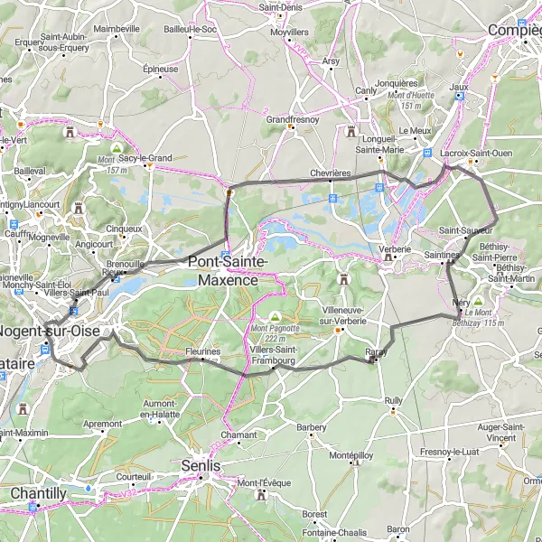
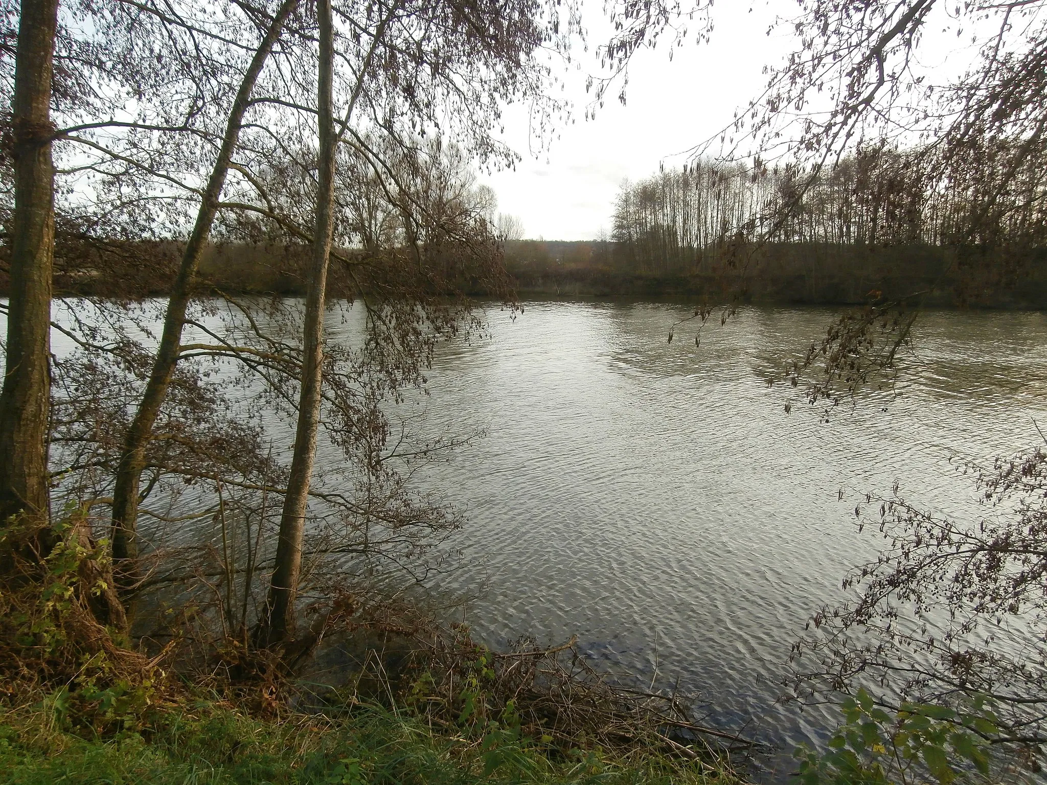
Discover the charm of the villages near Creil on this road biking route
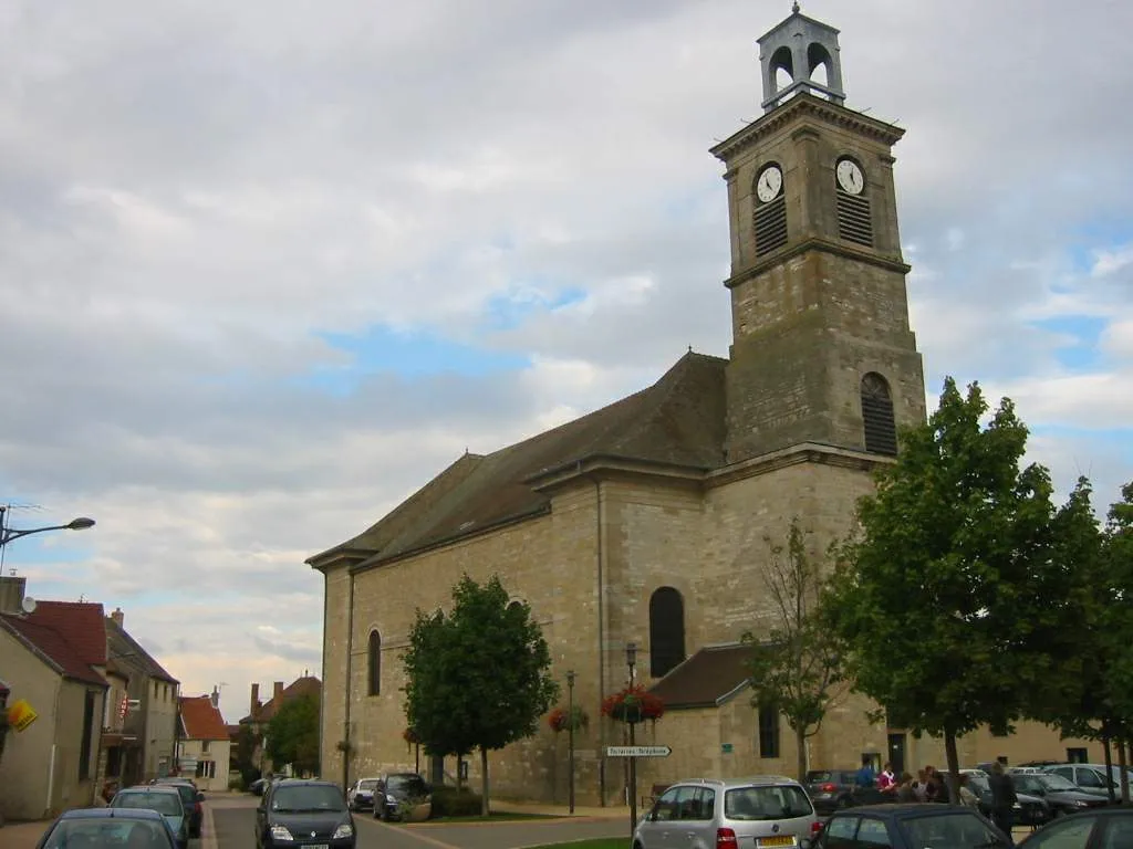
This road biking route takes you through the charming villages near Creil. With a total ascent of 316 meters and a distance of 68 kilometers, this route offers a relaxed and enjoyable ride. The difficulty level is rated 1 out of 5, suitable for beginner-level cyclists. The epicness level is rated 2 out of 5, offering scenic views and cultural discoveries. Highlights of the route include Les Ageux, La Motte du Moulin, Lacroix-Saint-Ouen, Saintines, Fleurines, and Creil. Les Ageux is a small village known for its beautiful church and countryside setting. La Motte du Moulin is a picturesque village with traditional houses and charming streets. Lacroix-Saint-Ouen is a town with a rich historical heritage and stunning views of the Oise River. Saintines is a peaceful village surrounded by forests and nature trails. Fleurines is known for its beautiful gardens and lovely atmosphere. Creil is a vibrant town with a lively street market and a beautiful historic center.
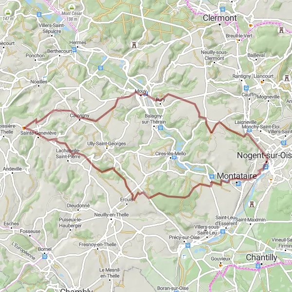
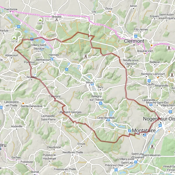
Scenic gravel route with highlights in Ercuis, Cauvigny, Angy, and Montataire
Embark on a scenic gravel route from Montataire to Nogent-sur-Oise, covering a distance of 57 km with an ascent of 438 m. Cycle through picturesque landscapes, charming villages, and historic sites as you pass through Ercuis, Cauvigny, Angy, and finally reach Nogent-sur-Oise. Take in the beauty of the French countryside and discover hidden gems along the way. This route offers a captivating cycling experience for nature lovers and history enthusiasts alike.
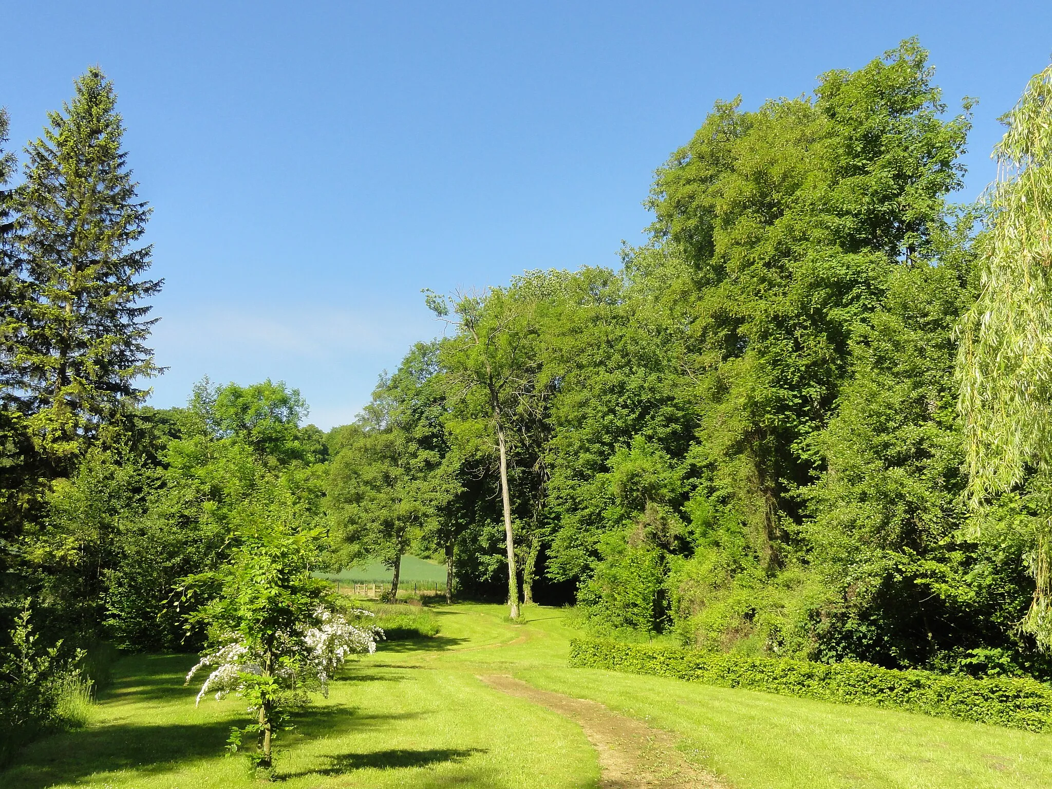
Enjoy a road biking tour through the picturesque countryside near Nogent-sur-Oise
This road biking route takes you through the beautiful countryside near Nogent-sur-Oise. With a total ascent of 513 meters and a distance of 71 kilometers, this route offers a moderate challenge. The difficulty level is rated 2 out of 5, suitable for intermediate-level cyclists. The epicness level is rated 2 out of 5, providing a scenic and enjoyable ride. Highlights of the route include Creil, Lamorlaye, Asnières-sur-Oise, Belle-Église, Ully-Saint-Georges, and Nogent-sur-Oise. Creil is a historic town with a charming old town and beautiful architecture. Lamorlaye is known for its picturesque landscapes and equestrian activities. Asnières-sur-Oise is a small village with a lovely church and scenic views. Belle-Église is a peaceful village with traditional houses and a tranquil atmosphere. Ully-Saint-Georges is surrounded by beautiful countryside and offers scenic views. Nogent-sur-Oise is a charming town located on the banks of the Oise River, offering nature trails and stunning views of the river.
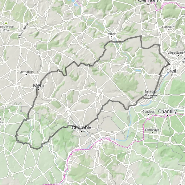
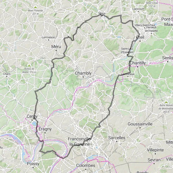
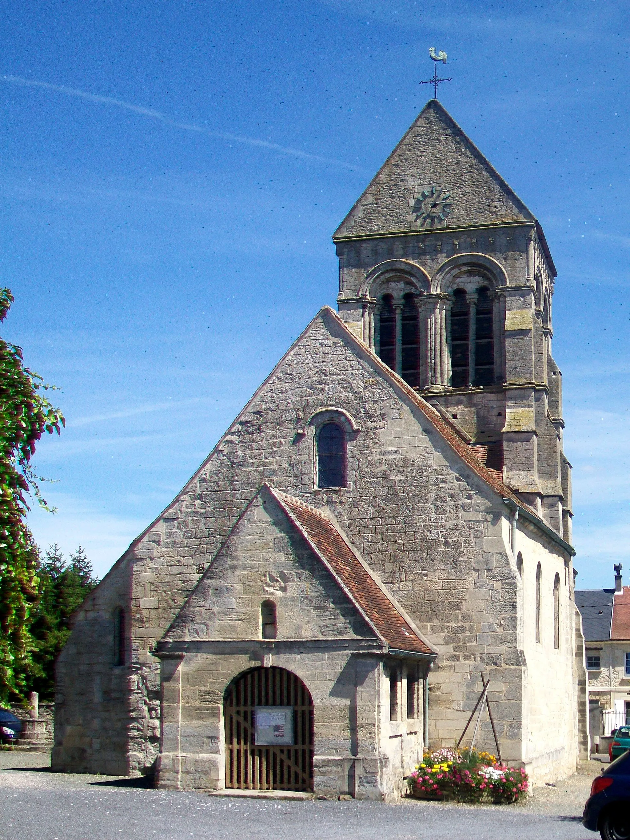
Embark on this road biking route to explore the scenic villages near Méru
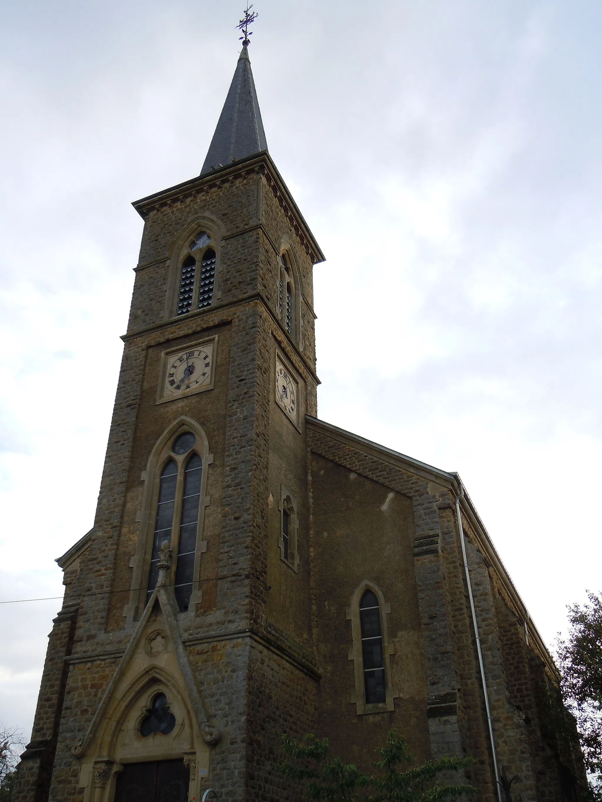
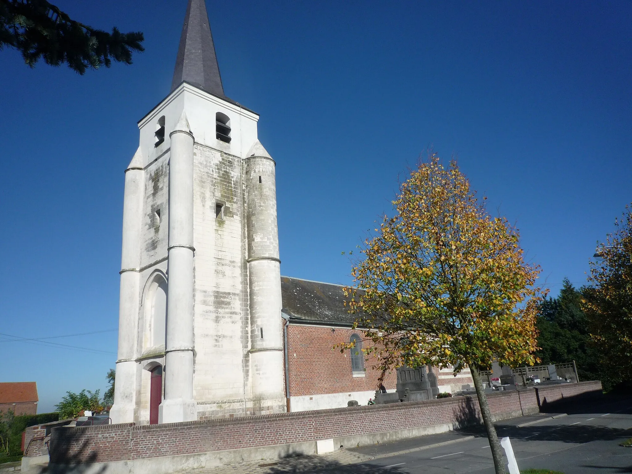
This road biking route takes you through the picturesque villages near Méru. With a total ascent of 836 meters and a distance of 94 kilometers, this route offers a moderate challenge. The difficulty level is rated 3 out of 5, suitable for well-trained amateurs. The epicness level is rated 3 out of 5, promising a scenic and enjoyable ride. Highlights of the route include Montataire, Crouy-en-Thelle, Vallangoujard, Méru, Lachapelle-Saint-Pierre, Mouy, and Laigneville. Montataire is a historic town with beautiful architecture and charming streets. Crouy-en-Thelle is a charming village with narrow streets and traditional houses. Vallangoujard is a picturesque village known for its scenic views and tranquil atmosphere. Méru is a charming town with a historic center and beautiful parks. Lachapelle-Saint-Pierre is a peaceful village with a lovely church and local restaurants. Mouy is a historic town with a rich cultural heritage and beautiful architecture. Laigneville is a small village with a peaceful countryside atmosphere and a lovely church.
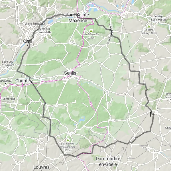
Exciting road route with highlights in Les Ageux, Villeneuve-sur-Verberie, Fresnoy-le-Luat, Le Plessis-Belleville, Survilliers, and Château de Chantilly
Explore the beauty of Picardie on this 98 km long road cycling route from Creil to Château de Chantilly. Experience a total ascent of 490 m as you pass through Les Ageux, Villeneuve-sur-Verberie, Fresnoy-le-Luat, Le Plessis-Belleville, Survilliers, and finally reach the magnificent Château de Chantilly. Immerse yourself in the rich history and grandeur of this region while enjoying challenging terrains and stunning landscapes along the way.
Scenic gravel route with highlights in Foulangues, Ponchon, Montreuil-sur-Thérain, Mont César, and Laigneville
Venture on a scenic gravel route from Nogent-sur-Oise to Laigneville, covering a total distance of 70 km with an ascent of 592 m. Enjoy the picturesque landscapes of Picardie as you cycle through Foulangues, Ponchon, Montreuil-sur-Thérain, and Mont César. Finish your journey in Laigneville, a quaint village known for its rich history and charming atmosphere. Explore hidden gems and immerse yourself in the natural beauty of the region on this unique cycling route.
Cycling routes nearby:

Nearby regions: