Challenging Climbs and Scenic Routes in Creil
Cycling routes from Creil
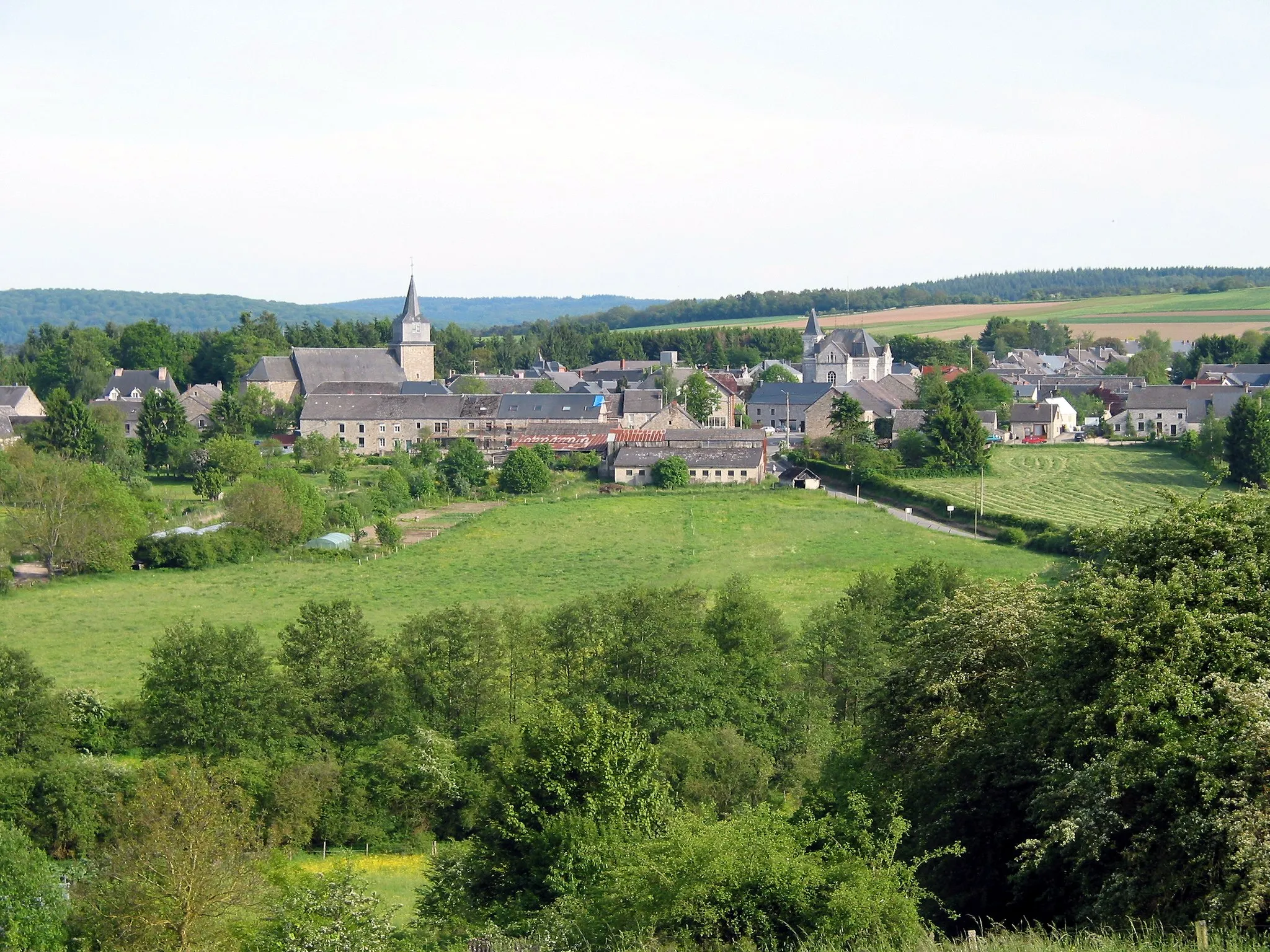
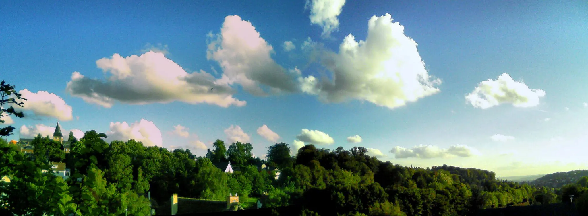
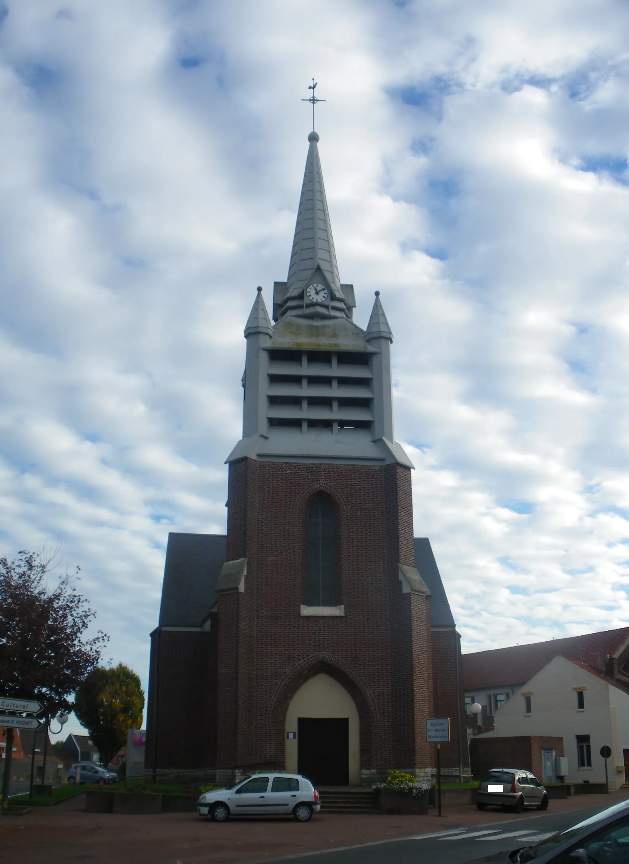
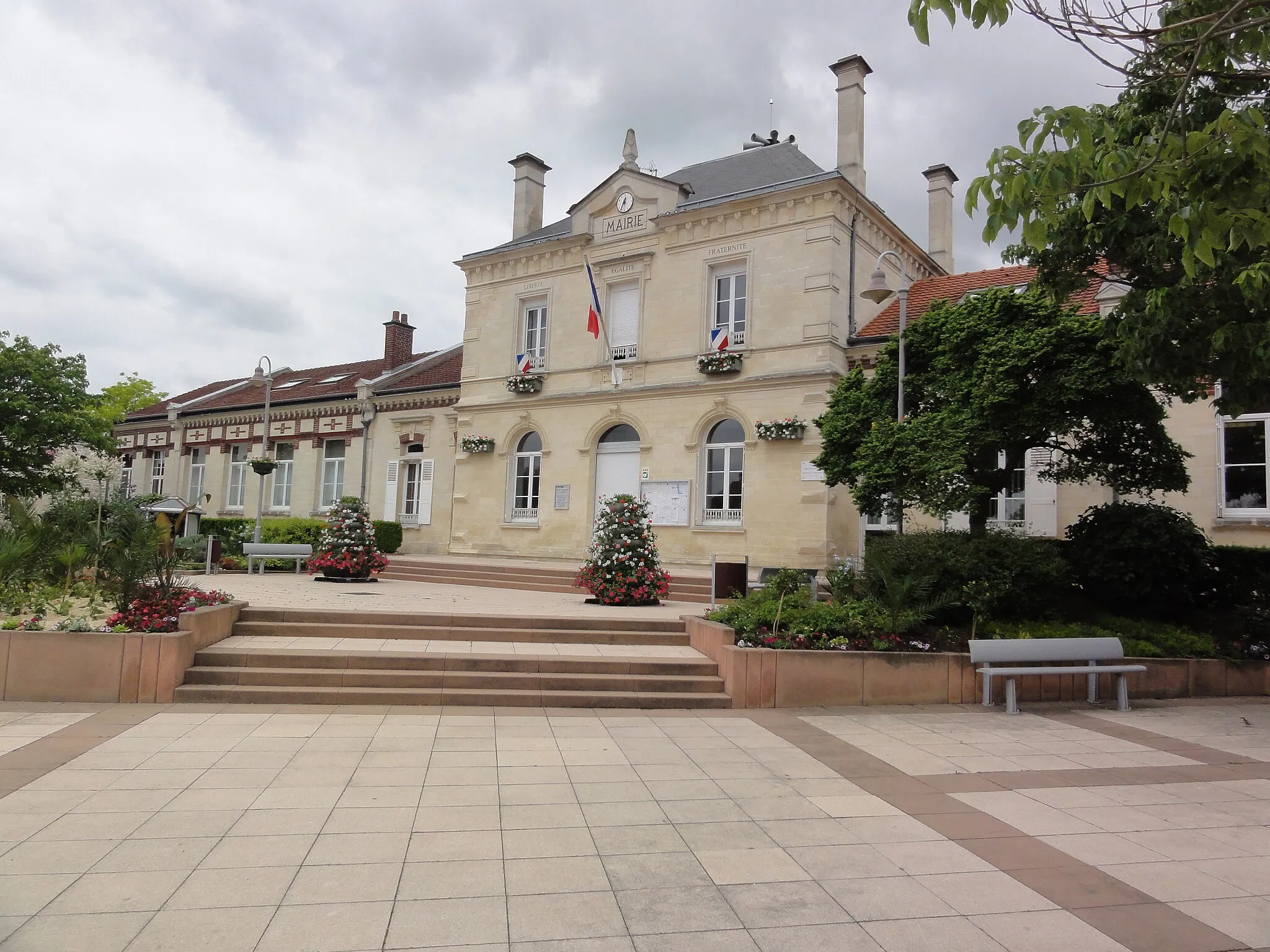
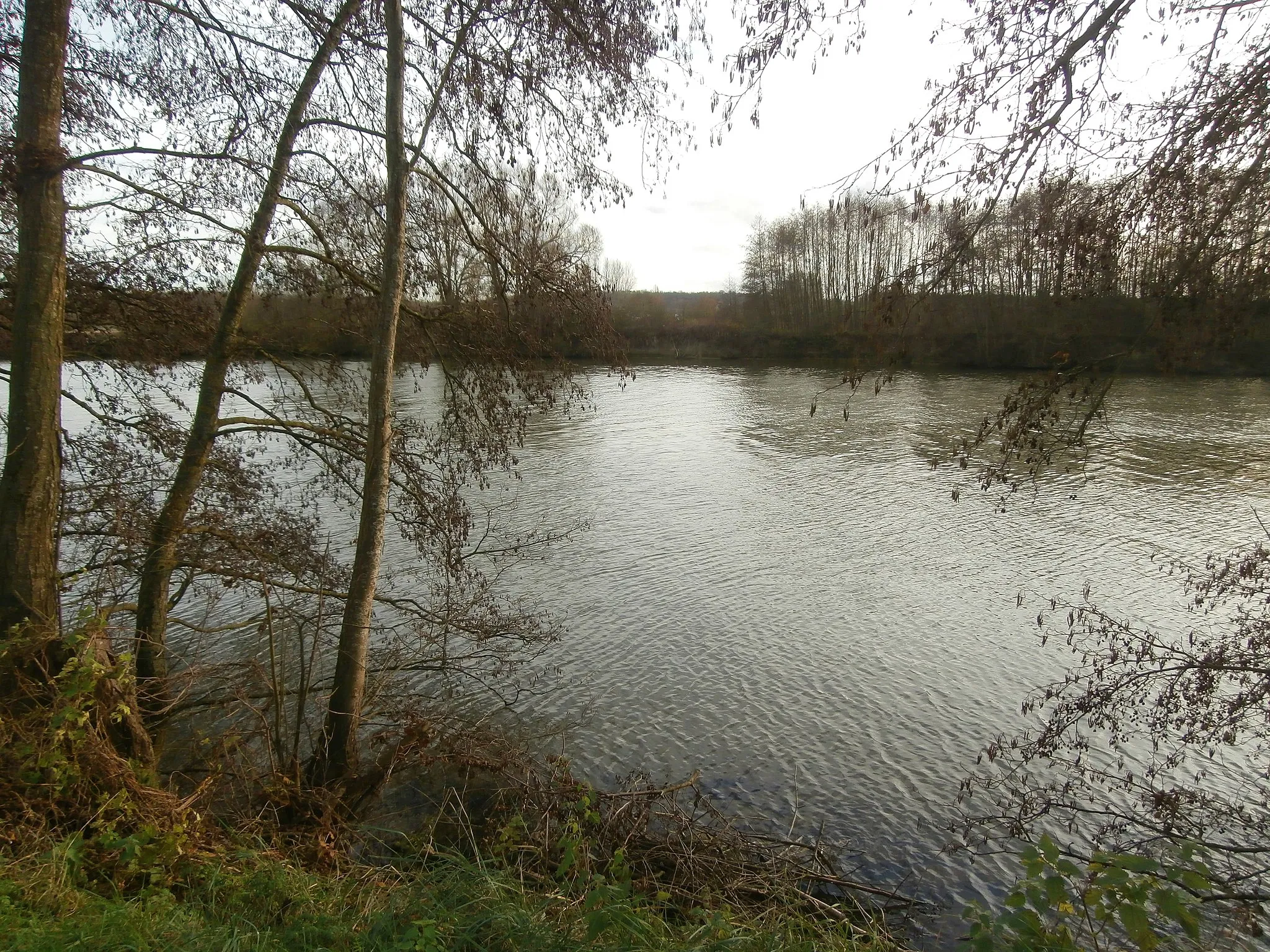
Creil is a town located in the Picardie region of France. As a road and gravel cyclist, you'll find that Creil offers a range of cycling opportunities. The surrounding countryside is scenic, with rolling hills and picturesque villages to explore. Additionally, Creil is located near the famous Randonnée du Perche cycling route, which is known for its challenging climbs and stunning landscapes.
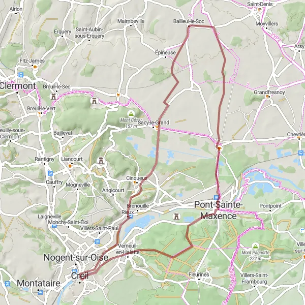
Experience the tranquility of rural France on a gravel route from Cinqueux to Verneuil-en-Halatte
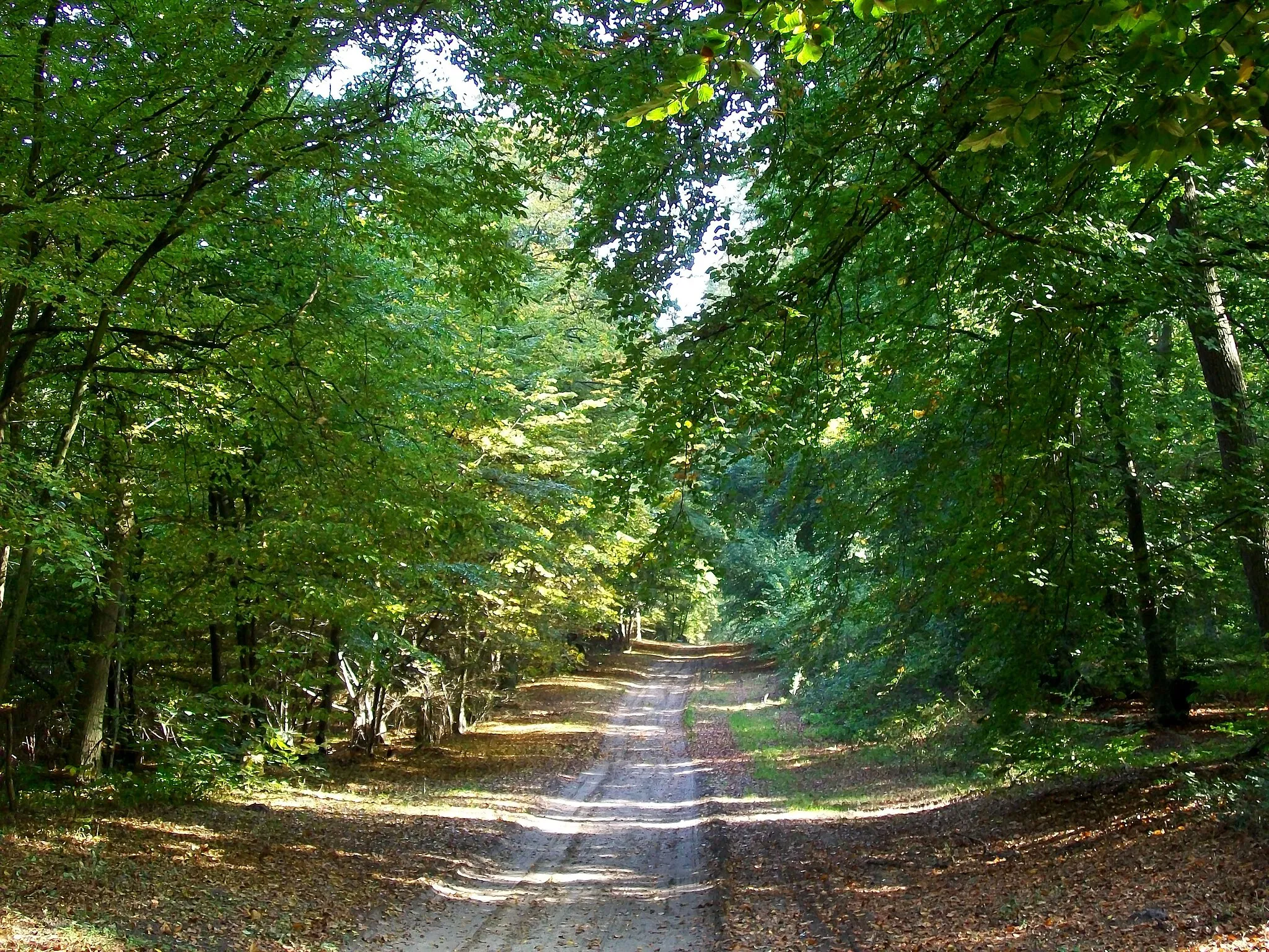
Embark on a serene cycling adventure through the countryside from Cinqueux to Verneuil-en-Halatte. This gravel route offers a mix of flat and rolling terrain, allowing you to enjoy the peacefulness of rural France. Highlights along the way include the scenic village of Bailleul-le-Soc tucked away amidst fields and forests, Les Ageux known for its charm and tranquility, and the picturesque Verneuil-en-Halatte adorned with historic buildings and beautiful gardens.
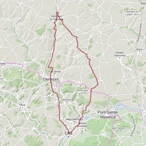
Embark on an adventurous gravel route from Clermont to Cinqueux
Get your adrenaline pumping and experience the thrill of off-road cycling with this gravel route from Clermont to Cinqueux. The route offers a mix of challenging gravel roads and scenic countryside, making it suitable for experienced cyclists seeking an adventurous ride. Highlights along the way include the historic town of Saint-Just-en-Chaussée, the quaint village of Cernoy with its picturesque surroundings, and the charming Cinqueux known for its tranquil atmosphere.
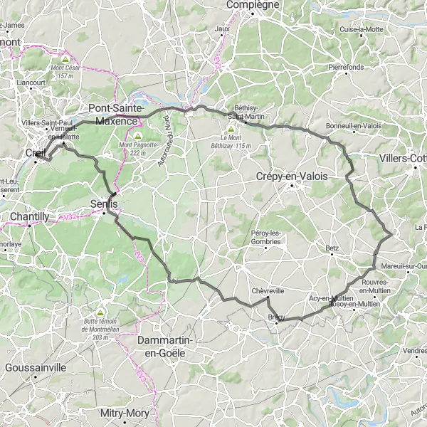
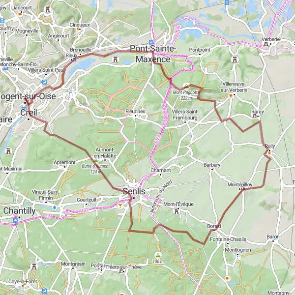
Journey through historic towns and picturesque landscapes
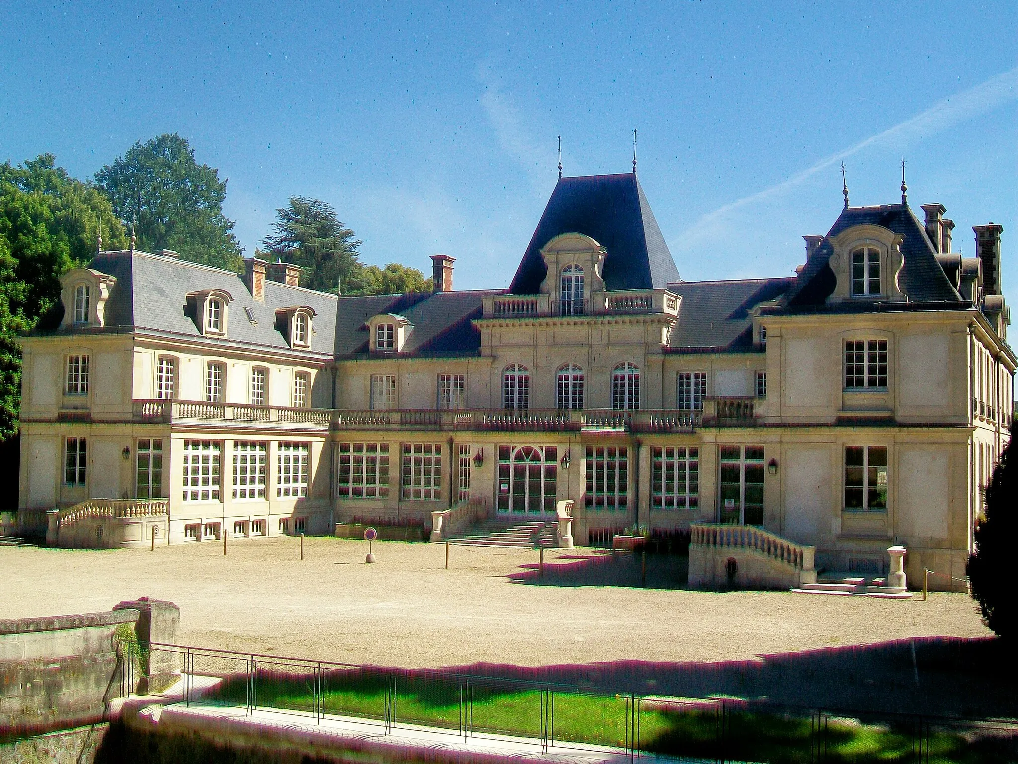
Embark on a captivating road route that takes you from Pont-Sainte-Maxence to Verneuil-en-Halatte, covering a distance of 123 kilometers and featuring an elevation gain of 683 meters. This route is recommended for experienced cyclists due to its challenging terrain and longer distance. Explore the historic towns of Béthisy-Saint-Pierre, Vaumoise, Acy-en-Multien, Ermenonville, Senlis, and Verneuil-en-Halatte.
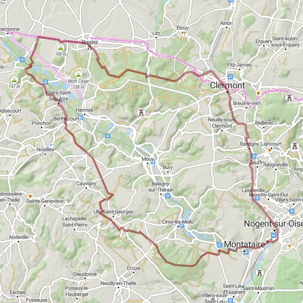
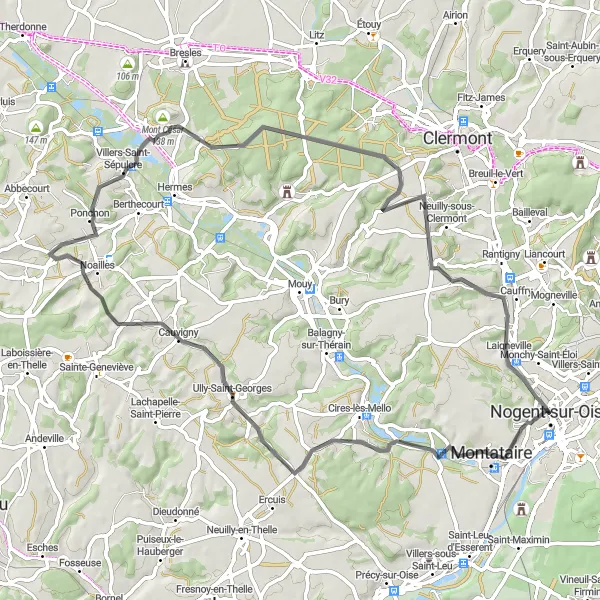
Embark on an adventurous journey from Creil to Laigneville
Indulge in an exciting gravel route that spans from Creil to Laigneville. This 77-kilometer long route showcases breathtaking scenery and includes an elevation gain of 587 meters, making it suitable for experienced and adventurous cyclists. Take in the beauty of Foulangues, Berthecourt, Bresles, Agnetz, and Laigneville along the way.
Scenic road route from Liancourt to Verneuil-en-Halatte
Experience the beauty of the region with this road route from Liancourt to Verneuil-en-Halatte. Covering a distance of 77 kilometers and featuring an elevation gain of 471 meters, this route offers scenic landscapes and historical attractions. Explore Liancourt, Cressonsacq, Hémévillers, Bazicourt, and Verneuil-en-Halatte along the way.
Traverse the countryside from Creil to Nogent-sur-Oise
Embark on this scenic gravel route that takes you through picturesque landscapes from Creil to Nogent-sur-Oise. With a total distance of 28 kilometers and an elevation gain of 239 meters, this route is suitable for intermediate-level cyclists. Enjoy the vibrant nature and charming villages along the way.
Embark on an epic road cycling journey from Creil to Vineuil-Saint-Firmin
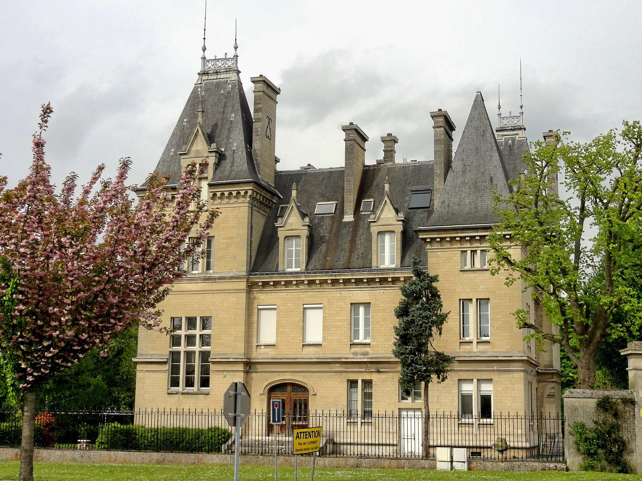
Prepare yourself for an extraordinary road cycling adventure from Creil to Vineuil-Saint-Firmin. This challenging route includes steep climbs and captivating panoramas, offering a rewarding experience to seasoned cyclists. Along the way, highlights include the historic town of Creil, the serene village of Cinqueux, the picturesque Bazicourt with its stunning castle, and Senlis with its rich medieval history. This route provides a perfect blend of physical challenges and cultural immersion, making it an unforgettable experience for any cyclist.
Creil to Laigneville Route
Cycle through picturesque towns from Creil to Laigneville
Embark on a delightful cycling adventure through charming towns and scenic countryside from Creil to Laigneville. This route offers a mix of flat terrain and gentle climbs, making it suitable for moderately skilled cyclists. Along the way, you'll pass by highlights such as the idyllic Cires-lès-Mello, the historic village of Heilles, and the peaceful Cambronne-lès-Clermont. Enjoy the beauty of nature and explore the architectural gems scattered throughout this route.
Experience the beauty of nature from Nogent-sur-Oise to Laigneville
Embark on a captivating cycling journey from Nogent-sur-Oise to Laigneville, where you'll be rewarded with stunning natural landscapes and charming villages. This road route features some moderate climbs and a longer distance, making it suitable for experienced cyclists. Along the way, you'll pass highlights such as the picturesque town of Cramoisy, the tranquil Ully-Saint-Georges, and the scenic Bailleul-sur-Thérain. Immerse yourself in the beauty of the French countryside and take in the sights and sounds of this captivating route.
Discover the enchanting countryside of Brenouille and Aumont-en-Halatte
Embark on a captivating gravel route through the countryside of Brenouille and Aumont-en-Halatte. Covering a distance of 61 kilometers and featuring an ascent of 394 meters, this route offers a challenging and rewarding cycling experience. Immerse yourself in the natural beauty of Mont Pagnotte, Brasseuse, and Montépilloy.
Cycling routes nearby:

Nearby regions: