Cinqueux to Verneuil-en-Halatte Gravel Route
A gravel cycling route starting from Creil
Experience the tranquility of rural France on a gravel route from Cinqueux to Verneuil-en-Halatte
Map
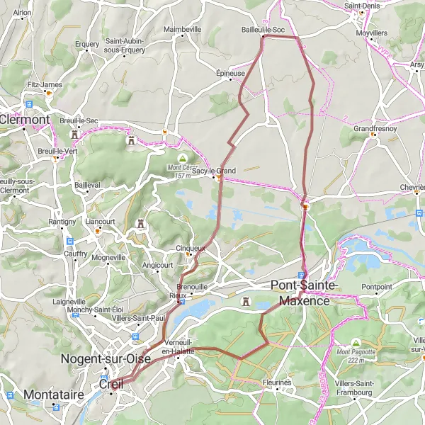
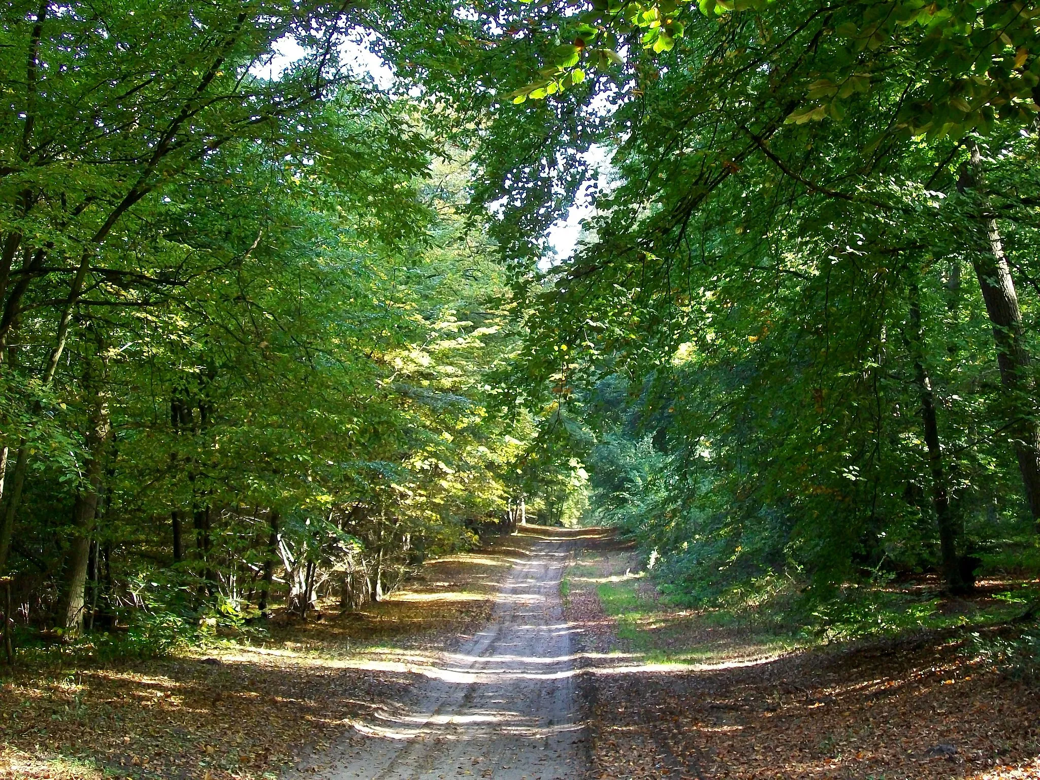
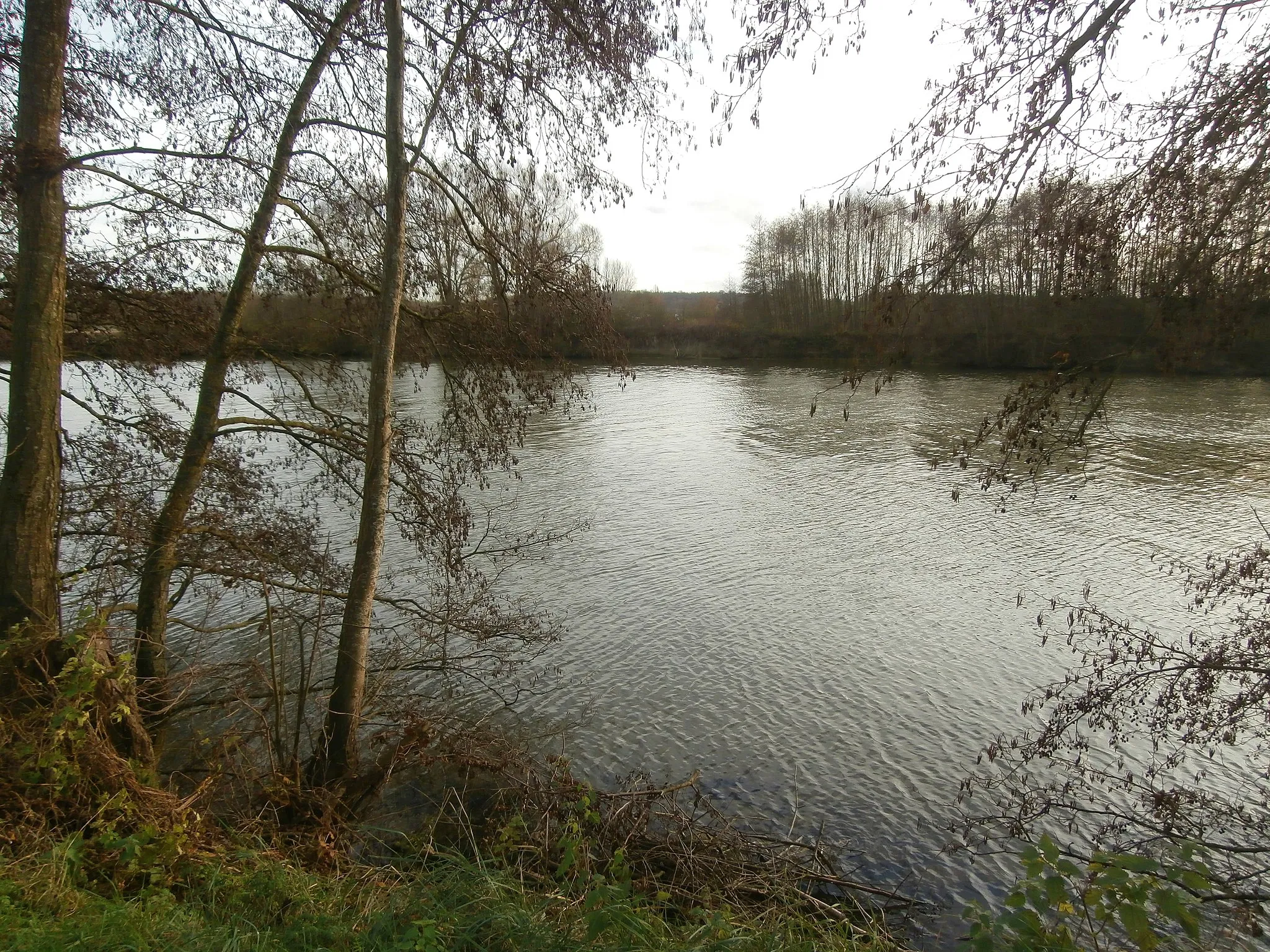
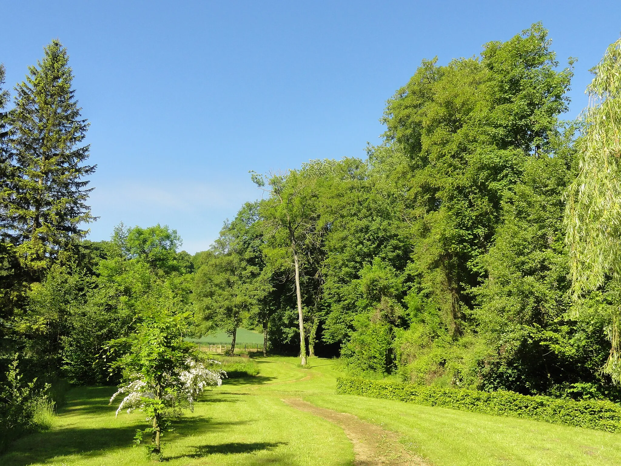
Embark on a serene cycling adventure through the countryside from Cinqueux to Verneuil-en-Halatte. This gravel route offers a mix of flat and rolling terrain, allowing you to enjoy the peacefulness of rural France. Highlights along the way include the scenic village of Bailleul-le-Soc tucked away amidst fields and forests, Les Ageux known for its charm and tranquility, and the picturesque Verneuil-en-Halatte adorned with historic buildings and beautiful gardens.
gravel
49 km
300 m
Tough
Route profile
Highlights on the route
0 km
0 km
Start: Creil City centerCreil: Challenging Climbs and Scenic Routes in Creil
Creil is a town located in the Picardie region of France. As a road and gravel cyclist, you'll find that Creil offers a range of cycling opportunities. The surrounding countryside is scenic, with rolling hills and picturesque villages to explore. Additionally, Creil is located near the famous Randonnée du Perche cycling route, which is known for its challenging climbs and stunning landscapes.9 km
9 km
CinqueuxVillageStart your journey from Cinqueux and experience the tranquility of the French countryside.
21 km
21 km
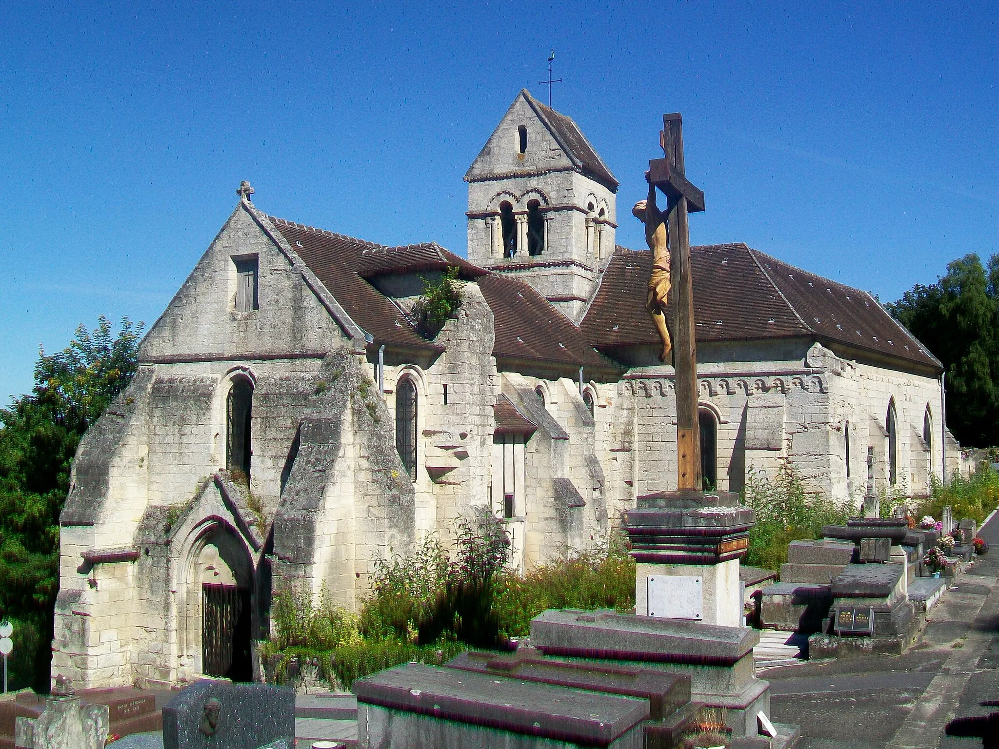
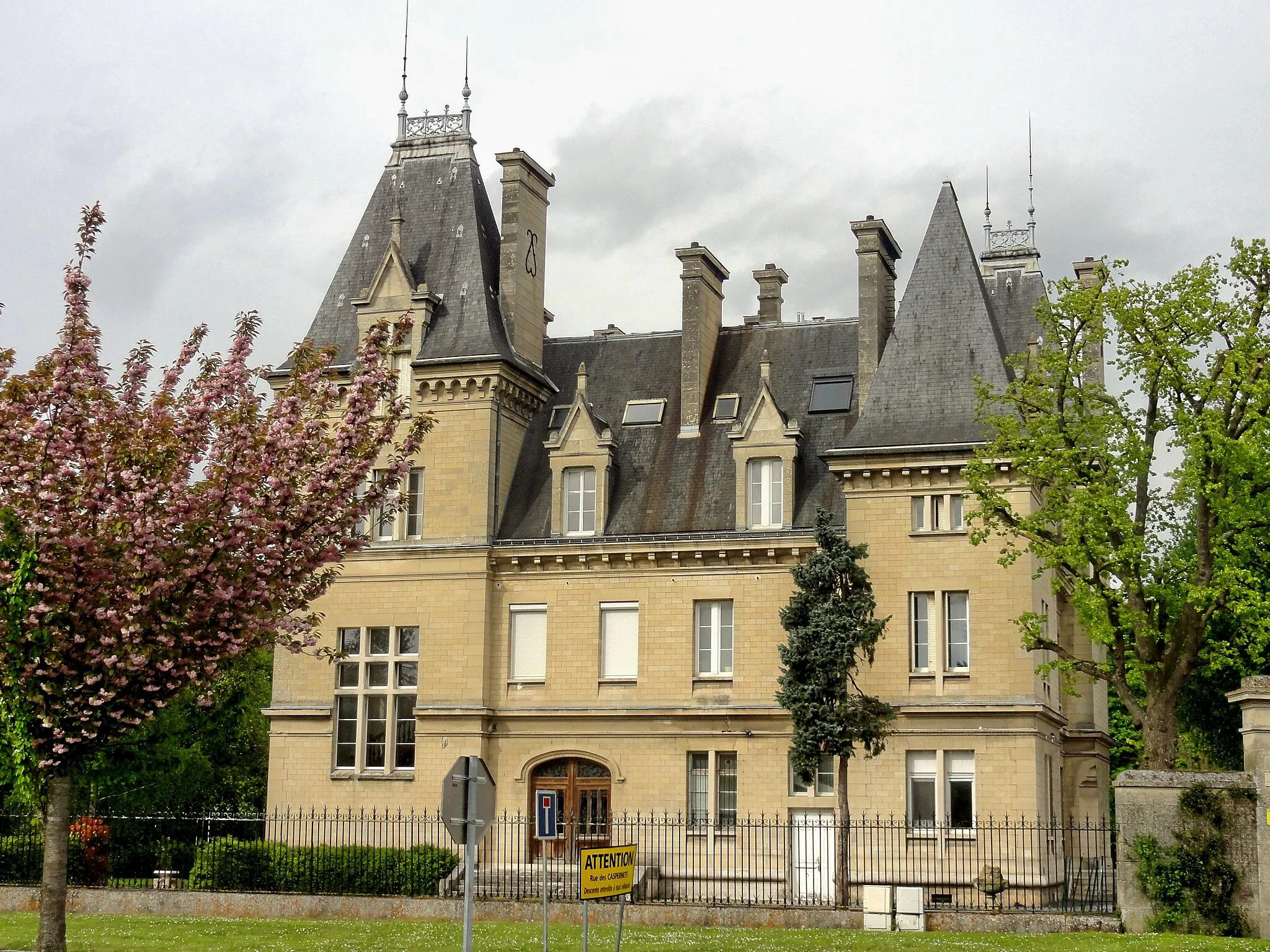
Bailleul-le-SocVillageDiscover the hidden gem of Bailleul-le-Soc, a village surrounded by scenic landscapes and verdant forests.
35 km
35 km
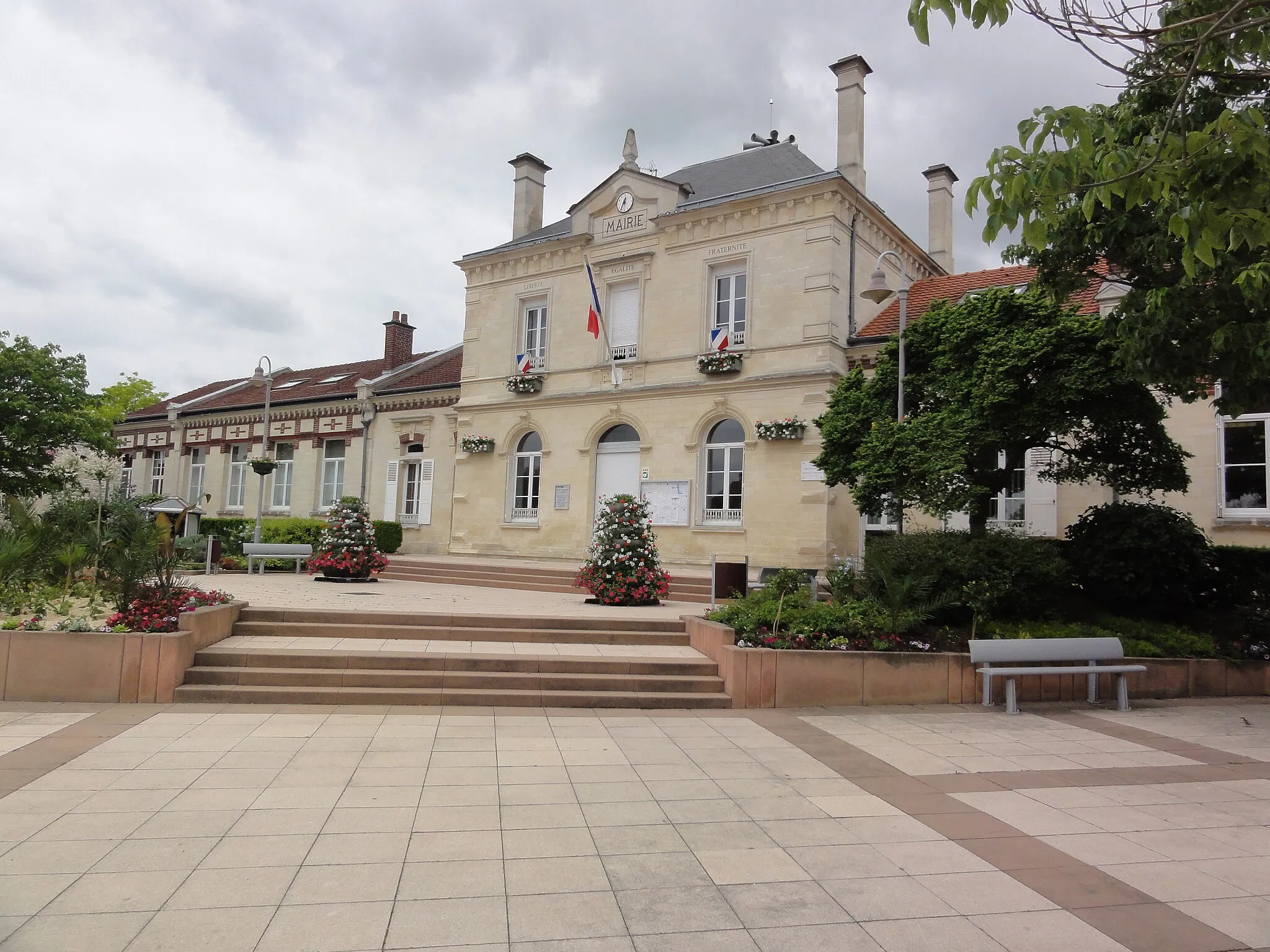
Les AgeuxVillageLes Ageux is a charming village that exudes a sense of peacefulness, perfect for a relaxing break.
45 km
45 km
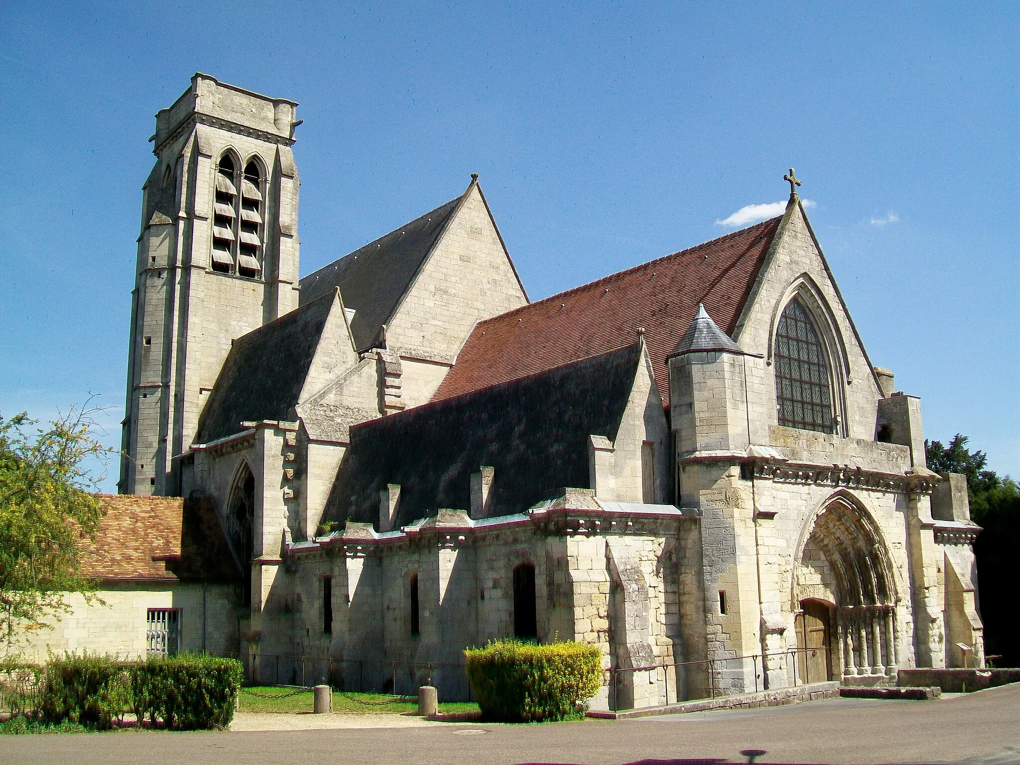
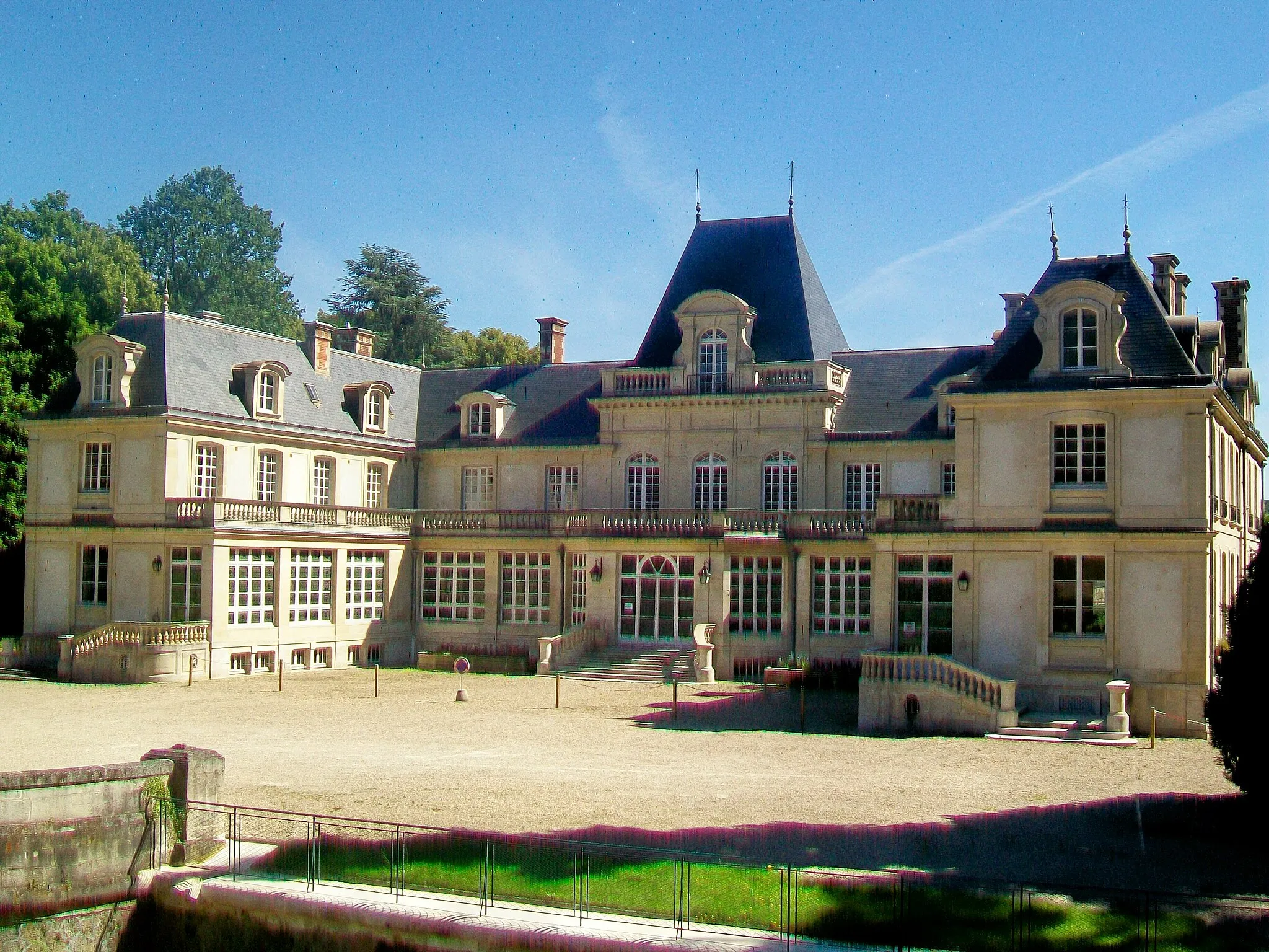
Verneuil-en-HalatteVillageVerneuil-en-Halatte enchants visitors with its majestic castle ruins and beautifully manicured gardens.
49 km
49 km
Finish: Creil City centerCreil: Challenging Climbs and Scenic Routes in Creil
Cycling routes from Creil:
Brenouille and Aumont-en-Halatte Gravel Route Liancourt to Verneuil-en-Halatte Road Route Pont-Sainte-Maxence to Verneuil-en-Halatte Road Route Nogent-sur-Oise to Laigneville Route Creil to Vineuil-Saint-Firmin Road Route Creil to Laigneville Gravel Route Creil and Nogent-sur-Oise Gravel Route Creil to Laigneville Route Clermont to Cinqueux Gravel Route Cinqueux to Verneuil-en-Halatte Gravel Route
Cycling routes nearby: