Creil to Laigneville Gravel Route
A gravel cycling route starting from Creil
Embark on an adventurous journey from Creil to Laigneville
Map
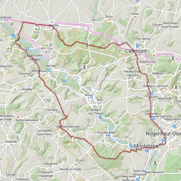
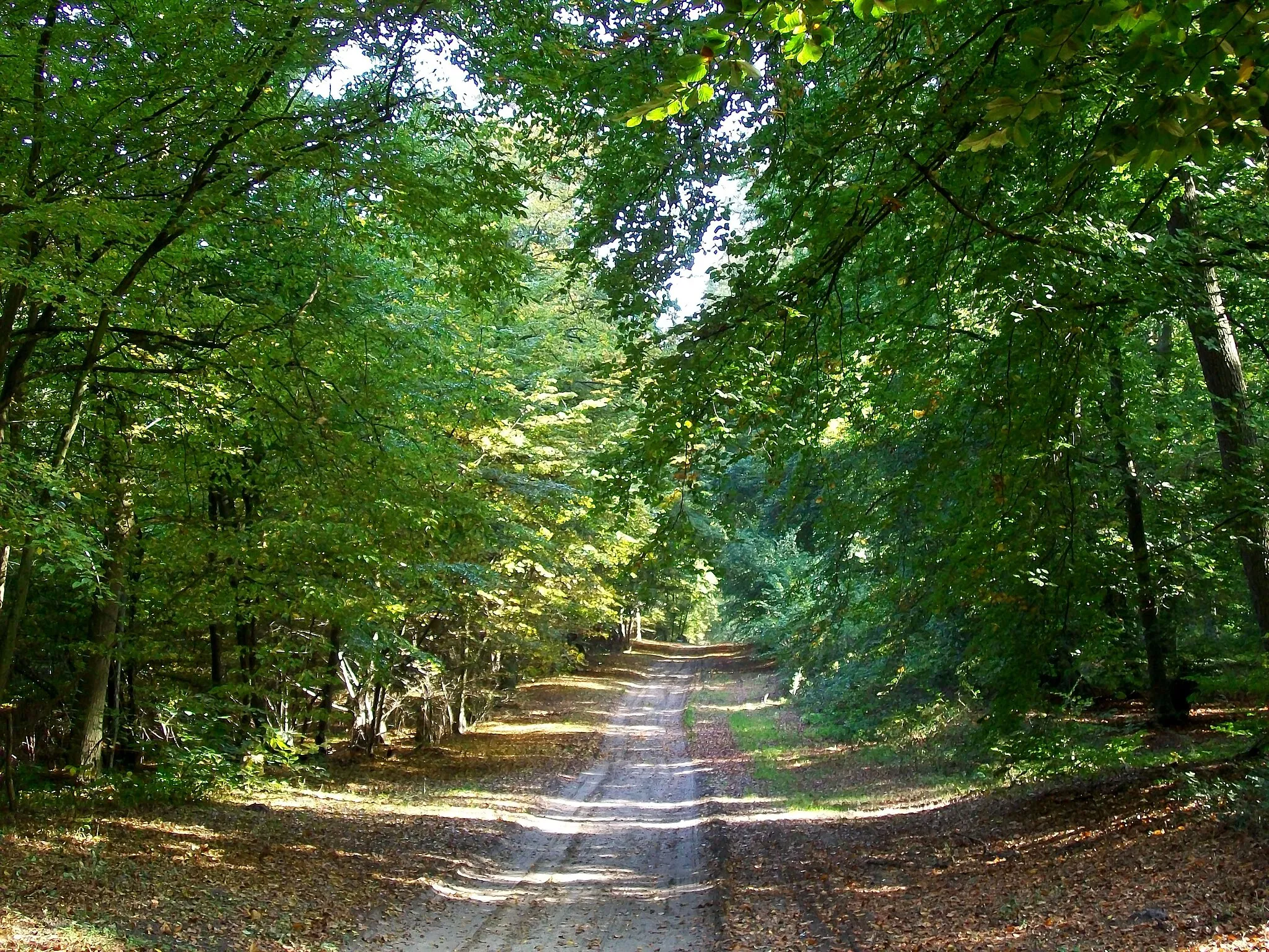
Indulge in an exciting gravel route that spans from Creil to Laigneville. This 77-kilometer long route showcases breathtaking scenery and includes an elevation gain of 587 meters, making it suitable for experienced and adventurous cyclists. Take in the beauty of Foulangues, Berthecourt, Bresles, Agnetz, and Laigneville along the way.
gravel
77 km
587 m
Savage
Route profile
Highlights on the route
0 km
0 km
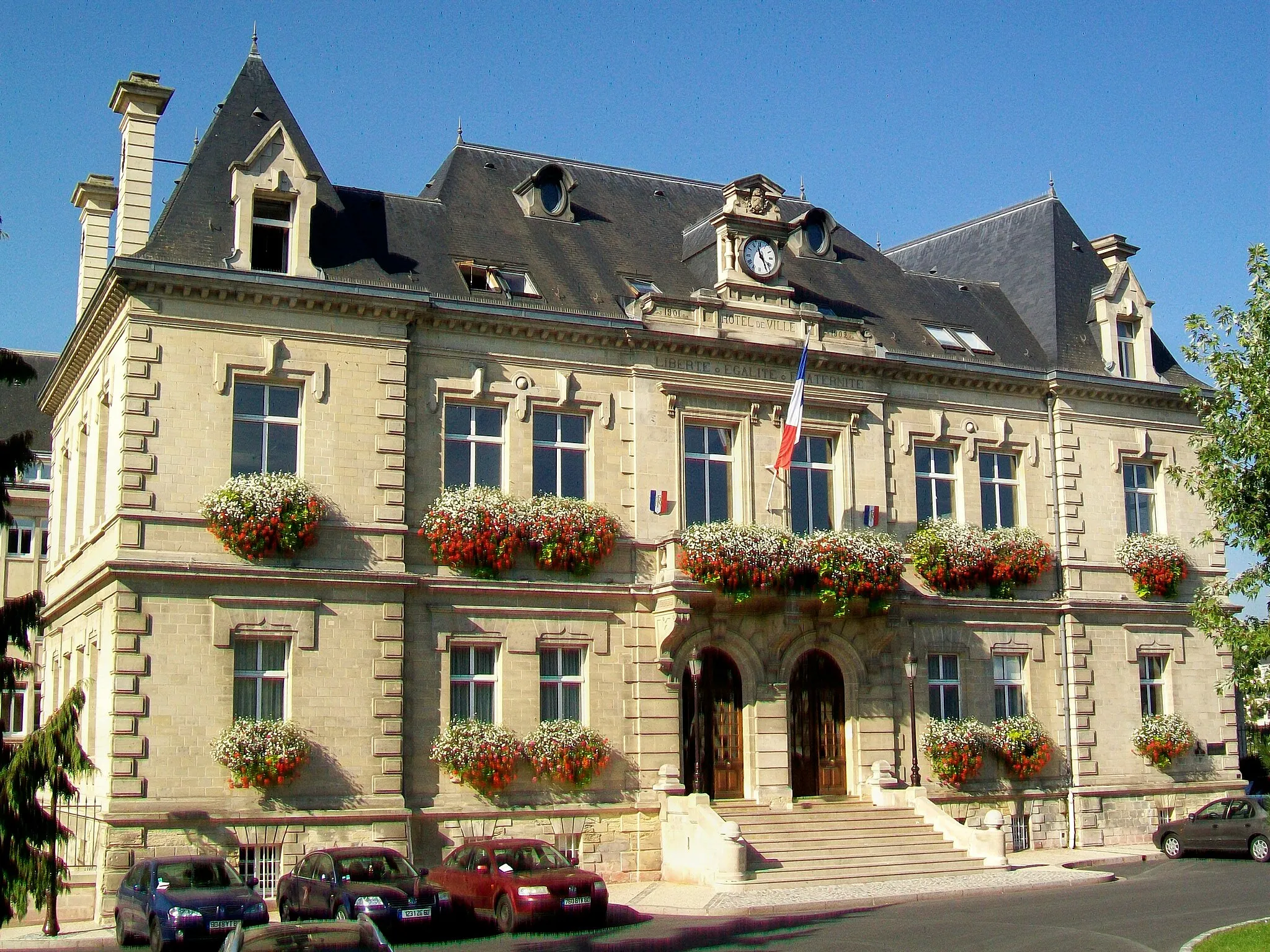
Start: Creil City centerCreil: Challenging Climbs and Scenic Routes in Creil
Creil is a town located in the Picardie region of France. As a road and gravel cyclist, you'll find that Creil offers a range of cycling opportunities. The surrounding countryside is scenic, with rolling hills and picturesque villages to explore. Additionally, Creil is located near the famous Randonnée du Perche cycling route, which is known for its challenging climbs and stunning landscapes.0 km
0 km
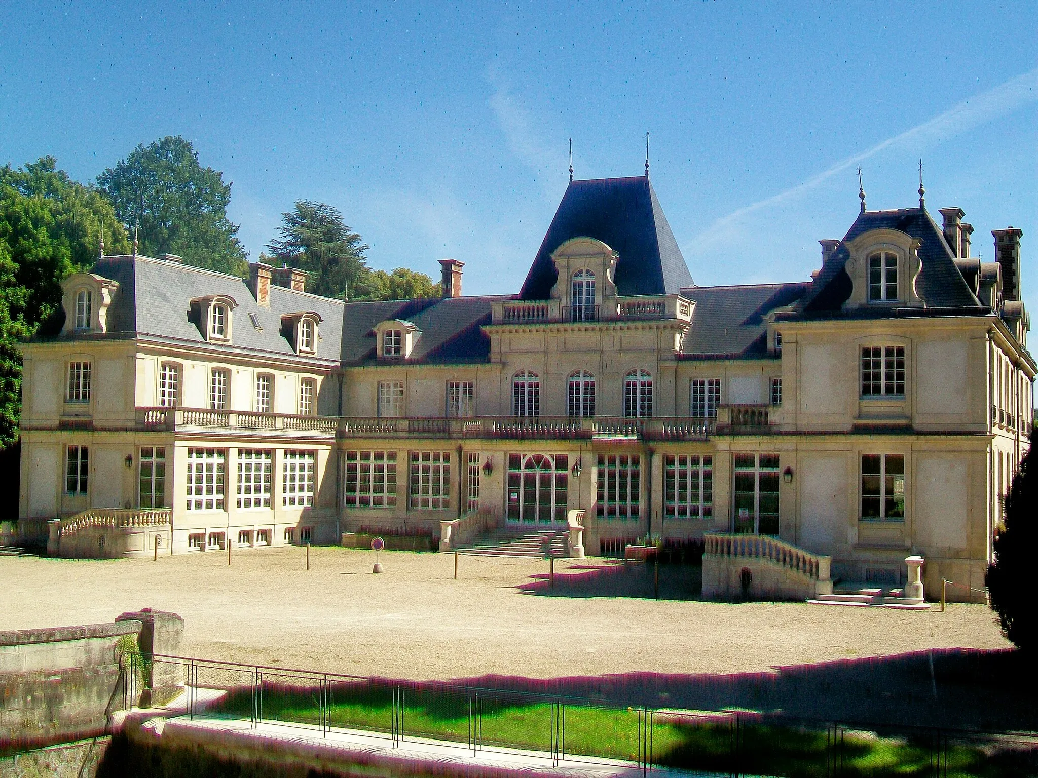
CreilTownStart your journey in Creil and explore its captivating landmarks and historic sites.
16 km
16 km
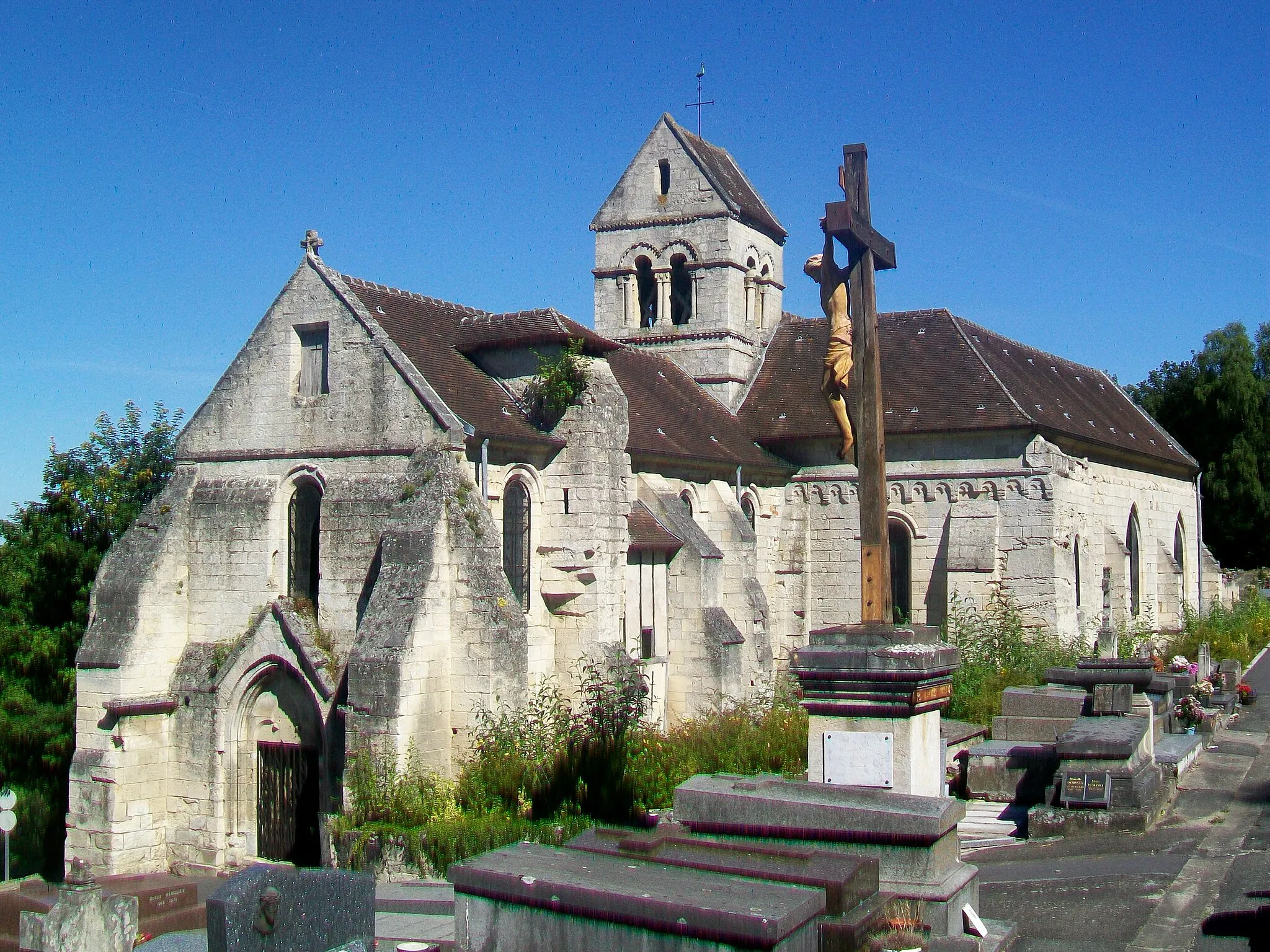
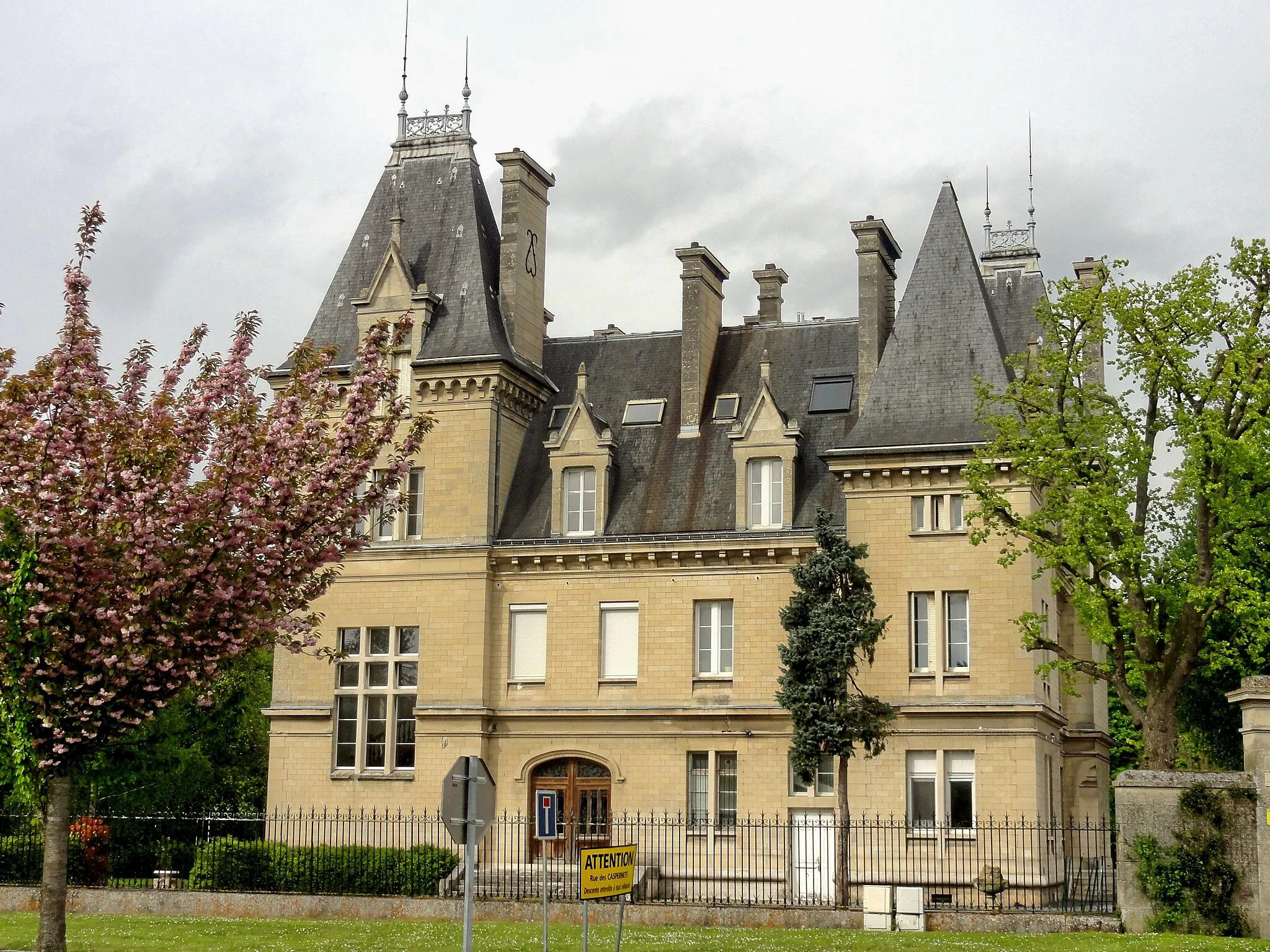
FoulanguesVillageVisit Foulangues and admire its charming stone houses and idyllic landscapes.
30 km
30 km
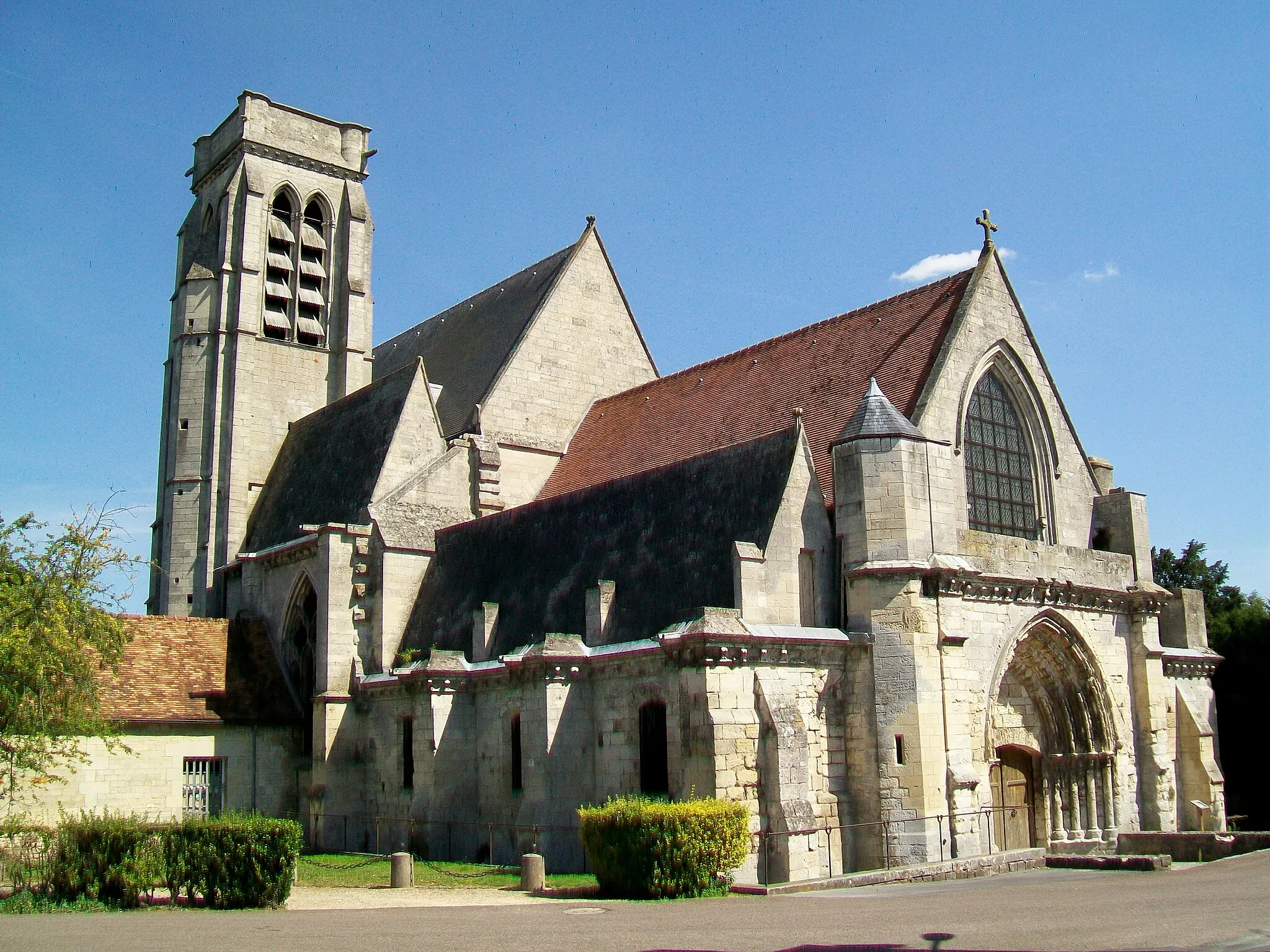
BerthecourtVillageExplore the picturesque village of Berthecourt, characterized by its beautiful architecture and peaceful ambience.
46 km
46 km
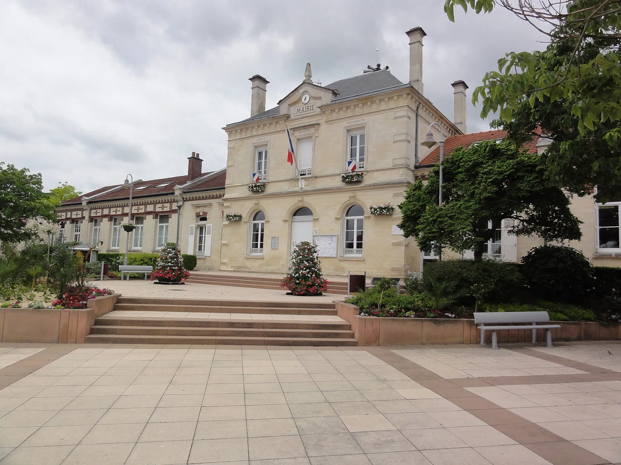
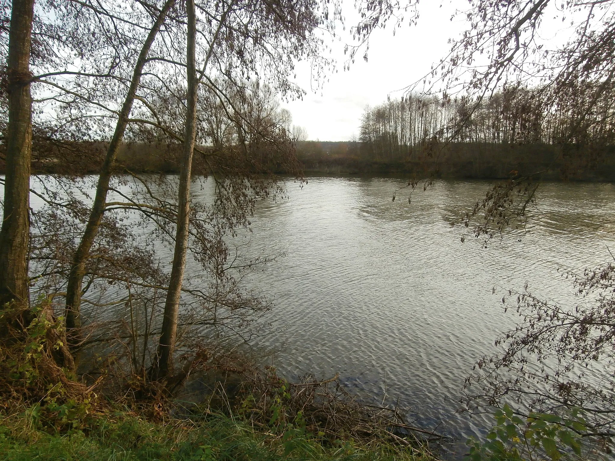
BreslesVillagePass through Bresles and discover its rich history and cultural heritage.
59 km
59 km
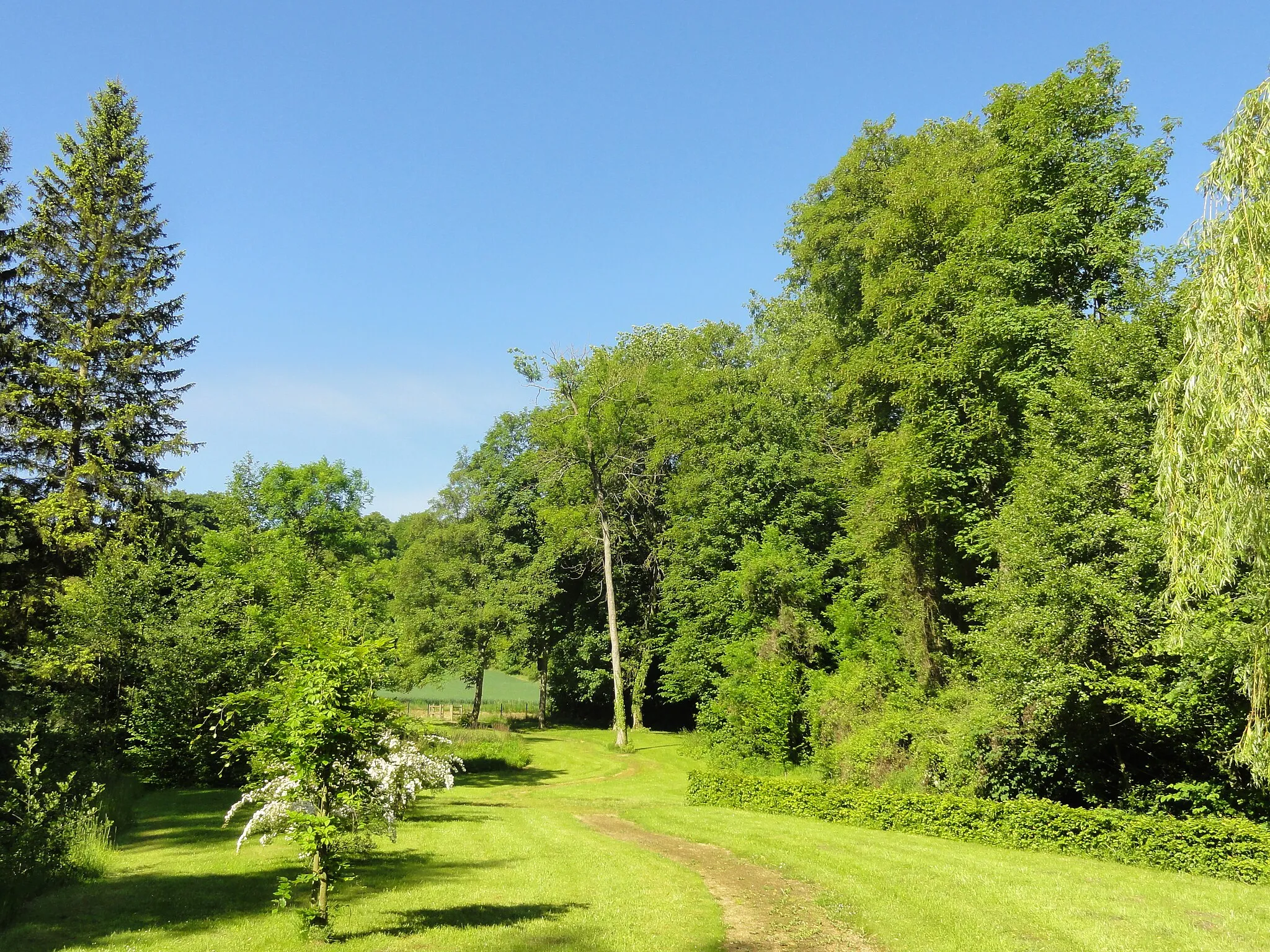
AgnetzVillageExperience the charm of Agnetz, a town known for its traditional half-timbered houses and scenic surroundings.
73 km
73 km
LaignevilleVillageEnd your cycling adventure in Laigneville, a tranquil village nestled amidst lush greenery.
77 km
77 km
Finish: Creil City centerCreil: Challenging Climbs and Scenic Routes in Creil
Cycling routes from Creil:
Brenouille and Aumont-en-Halatte Gravel Route Liancourt to Verneuil-en-Halatte Road Route Pont-Sainte-Maxence to Verneuil-en-Halatte Road Route Nogent-sur-Oise to Laigneville Route Creil to Vineuil-Saint-Firmin Road Route Creil to Laigneville Gravel Route Creil and Nogent-sur-Oise Gravel Route Creil to Laigneville Route Clermont to Cinqueux Gravel Route Cinqueux to Verneuil-en-Halatte Gravel Route
Cycling routes nearby: