Pont-Sainte-Maxence to Verneuil-en-Halatte Road Route
A road cycling route starting from Creil
Journey through historic towns and picturesque landscapes
Map
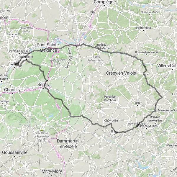
Embark on a captivating road route that takes you from Pont-Sainte-Maxence to Verneuil-en-Halatte, covering a distance of 123 kilometers and featuring an elevation gain of 683 meters. This route is recommended for experienced cyclists due to its challenging terrain and longer distance. Explore the historic towns of Béthisy-Saint-Pierre, Vaumoise, Acy-en-Multien, Ermenonville, Senlis, and Verneuil-en-Halatte.
road
123 km
683 m
Savage
Route profile
Highlights on the route
0 km
0 km
Start: Creil City centerCreil: Challenging Climbs and Scenic Routes in Creil
Creil is a town located in the Picardie region of France. As a road and gravel cyclist, you'll find that Creil offers a range of cycling opportunities. The surrounding countryside is scenic, with rolling hills and picturesque villages to explore. Additionally, Creil is located near the famous Randonnée du Perche cycling route, which is known for its challenging climbs and stunning landscapes.11 km
11 km
Pont-Sainte-MaxenceTownDiscover the medieval charm of Pont-Sainte-Maxence and its well-preserved ancient castle.
27 km
27 km
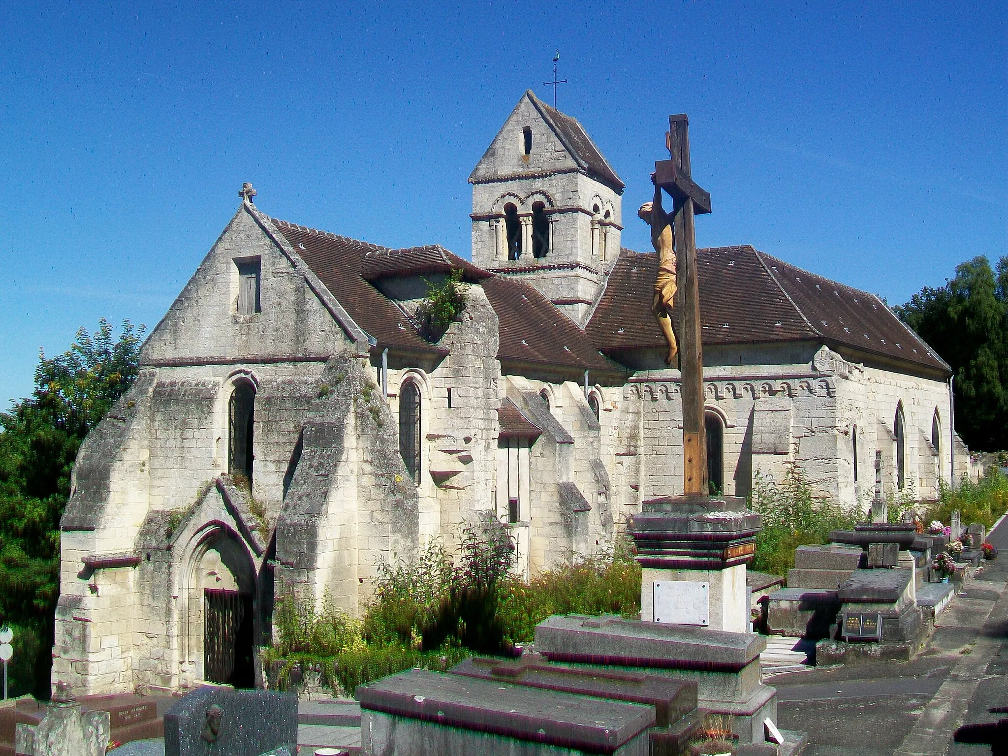
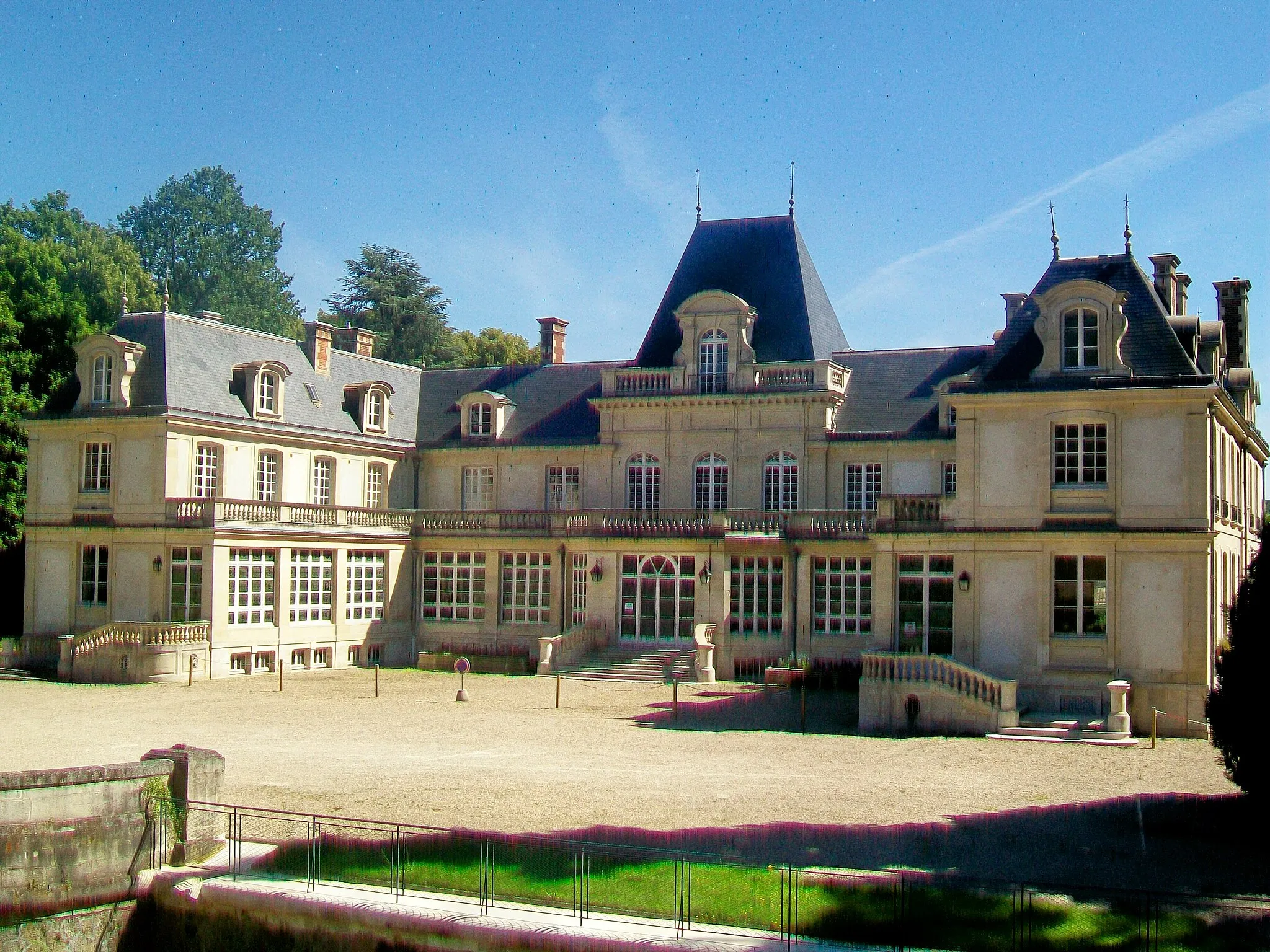
Béthisy-Saint-PierreVillageVisit Béthisy-Saint-Pierre and marvel at its architectural gems, including the impressive Château de Béthisy.
46 km
46 km
VaumoiseVillageCycle through the scenic countryside of Vaumoise, known for its idyllic landscapes and charming rural villages.
68 km
68 km
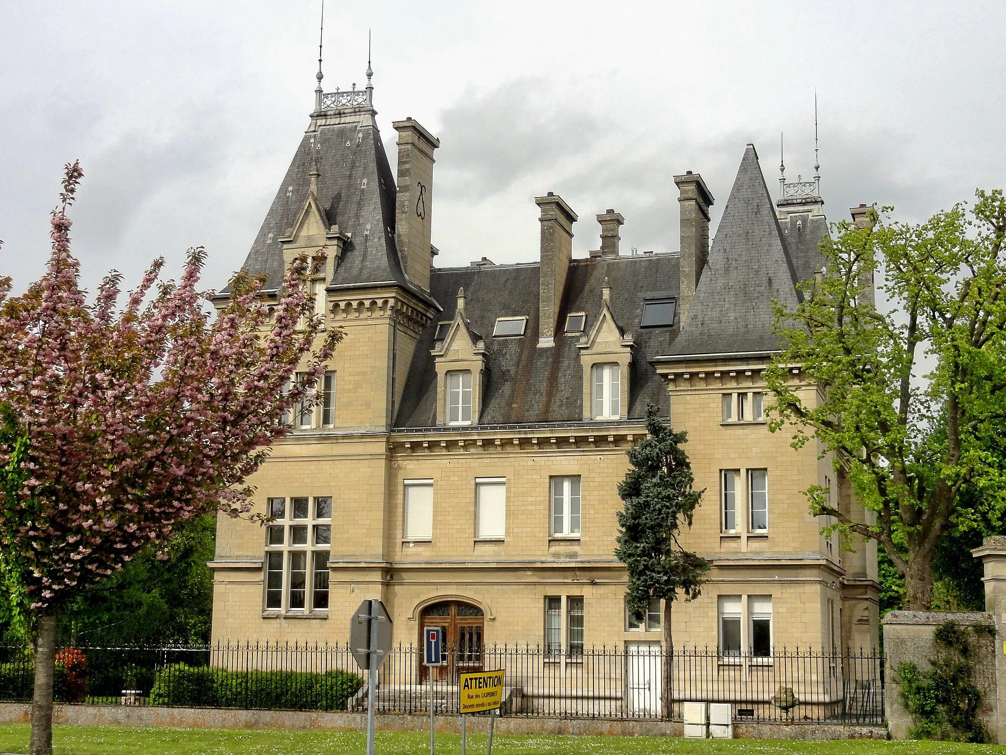
Acy-en-MultienVillageExplore Acy-en-Multien and be captivated by its picturesque streets lined with historic buildings and architecture.
92 km
92 km
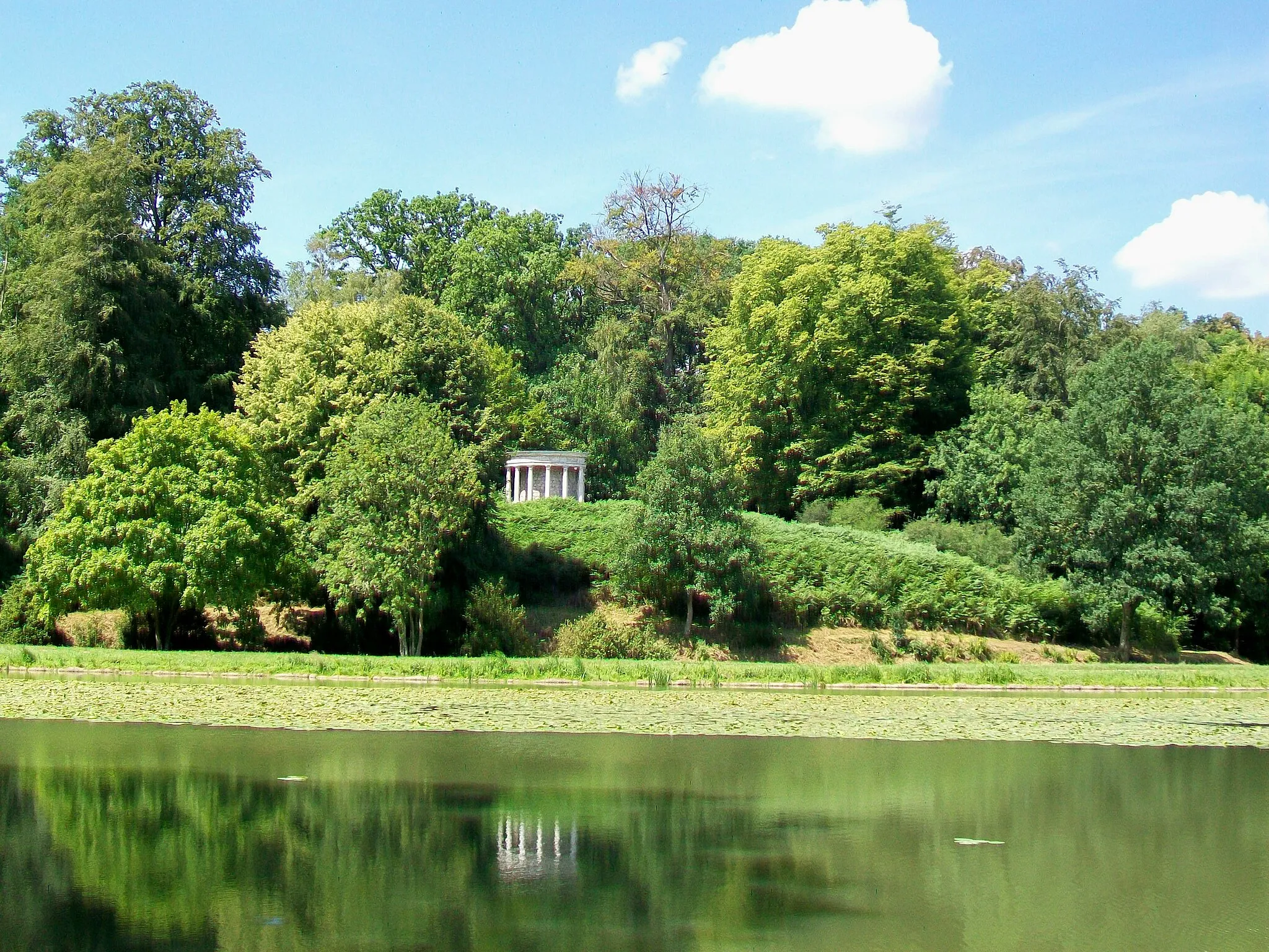
ErmenonvilleVillageVisit the enchanting town of Ermenonville and explore its beautiful parks and gardens, including the famous Parc Jean-Jacques Rousseau.
106 km
106 km
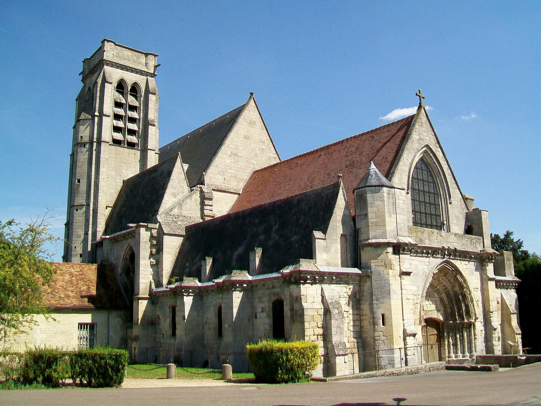
SenlisTownStop by Senlis, with its rich history and stunning Gothic cathedral.
118 km
118 km
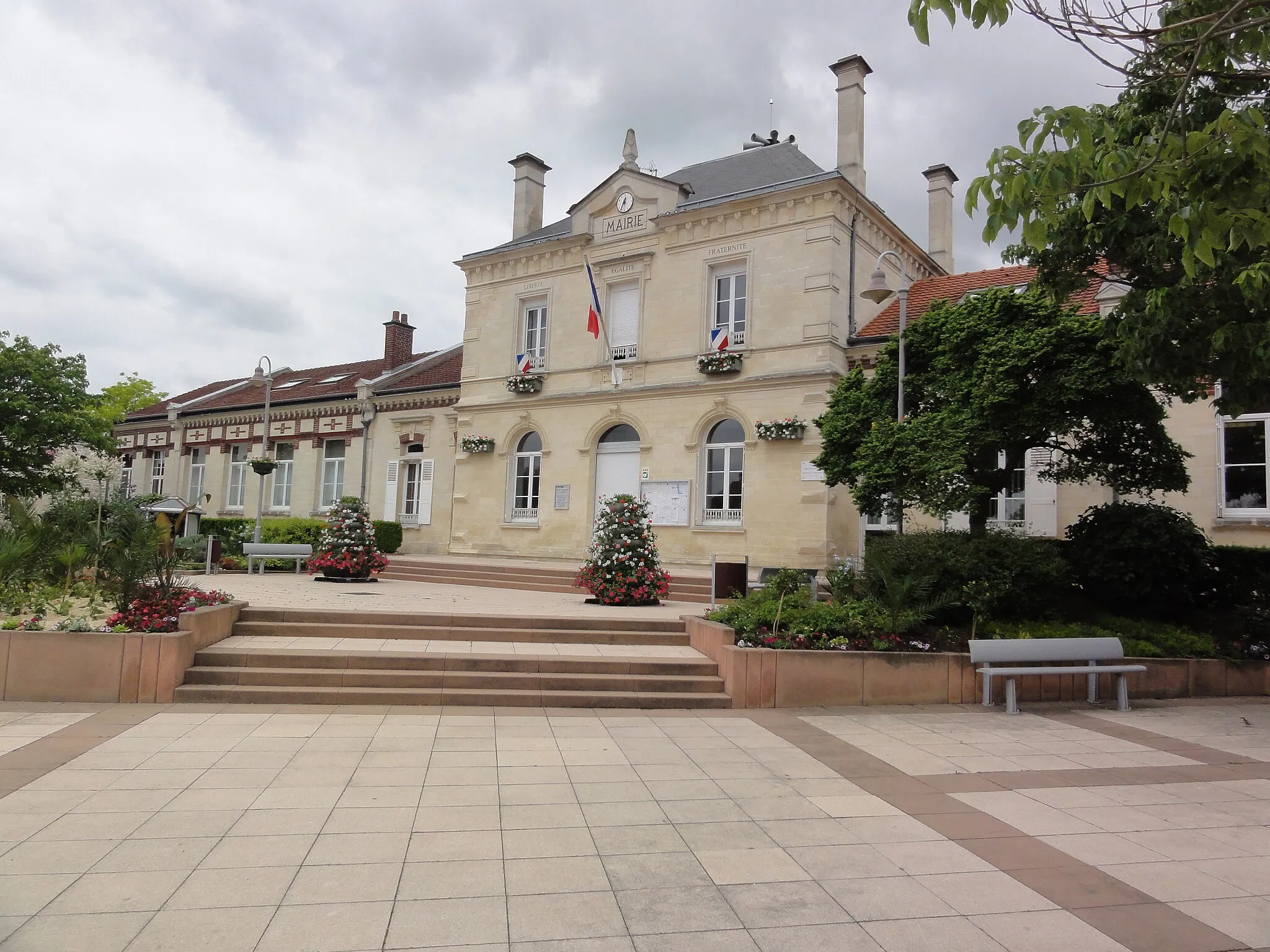
Verneuil-en-HalatteVillageEnd your journey in Verneuil-en-Halatte and take in the beauty of its charming village center and peaceful atmosphere.
123 km
123 km
Finish: Creil City centerCreil: Challenging Climbs and Scenic Routes in Creil
Cycling routes from Creil:
Brenouille and Aumont-en-Halatte Gravel Route Liancourt to Verneuil-en-Halatte Road Route Pont-Sainte-Maxence to Verneuil-en-Halatte Road Route Nogent-sur-Oise to Laigneville Route Creil to Vineuil-Saint-Firmin Road Route Creil to Laigneville Gravel Route Creil and Nogent-sur-Oise Gravel Route Creil to Laigneville Route Clermont to Cinqueux Gravel Route Cinqueux to Verneuil-en-Halatte Gravel Route
Cycling routes nearby: