Cycle through the serene beauty of Picardie
Cycling routes from Origny-Sainte-Benoite
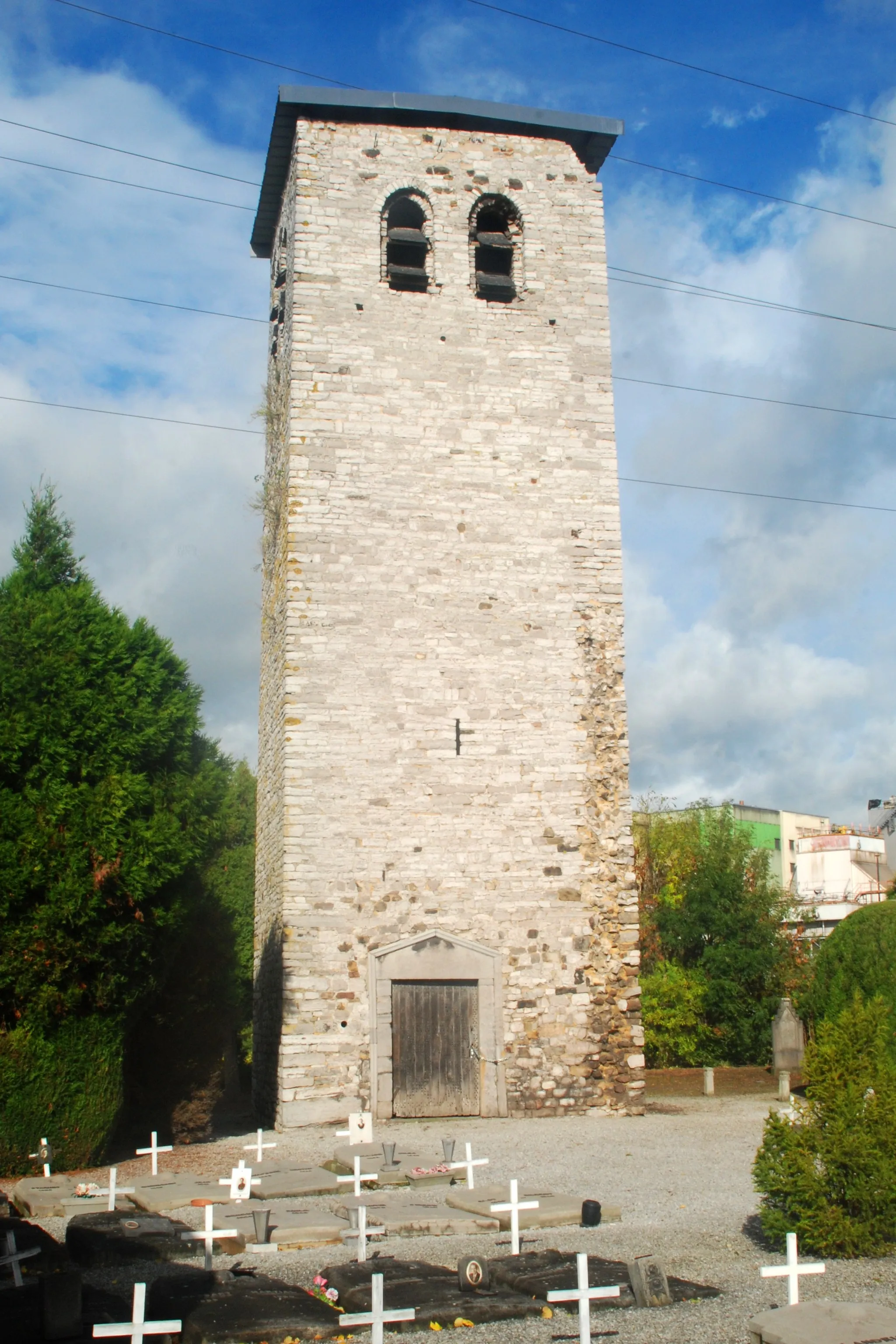
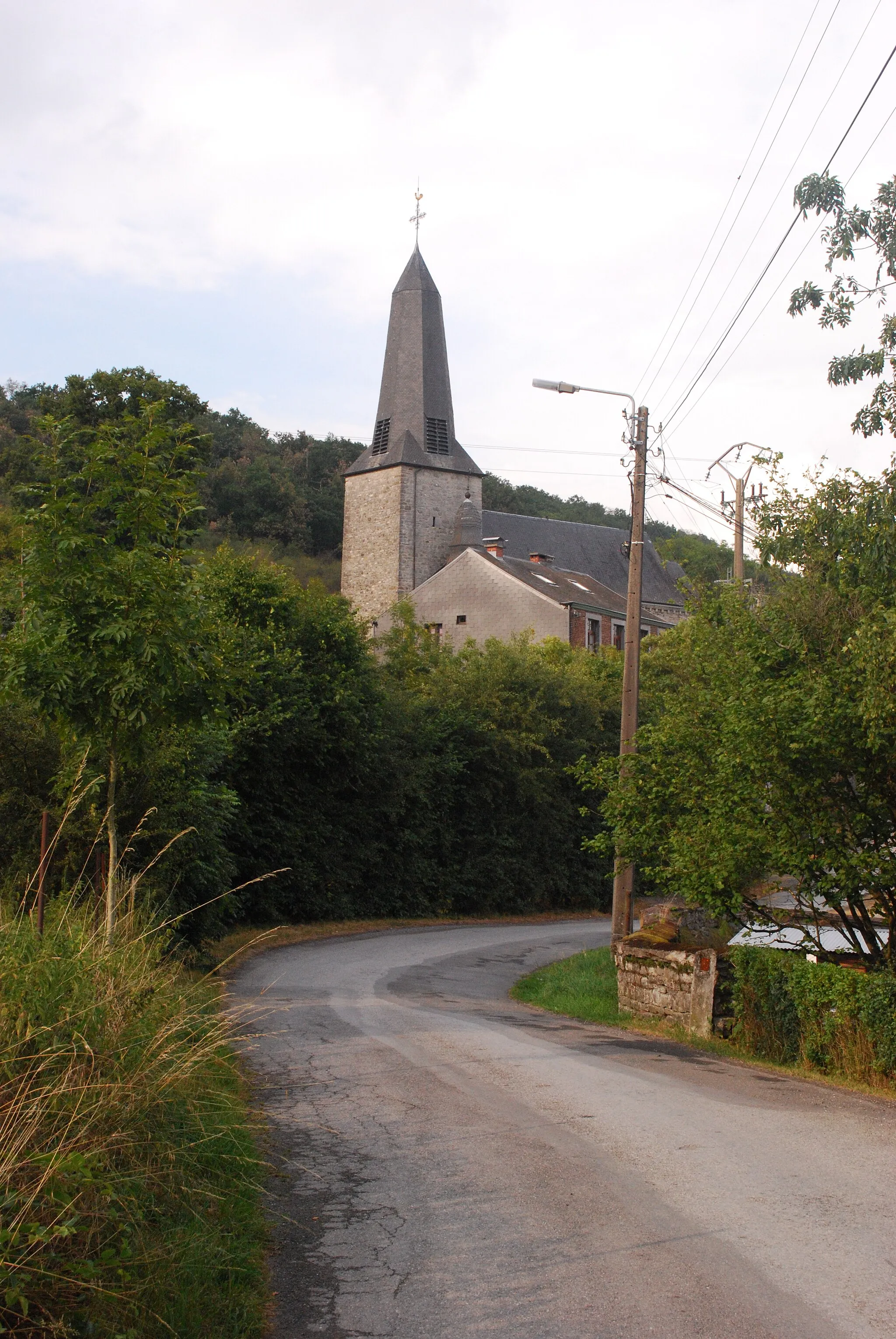
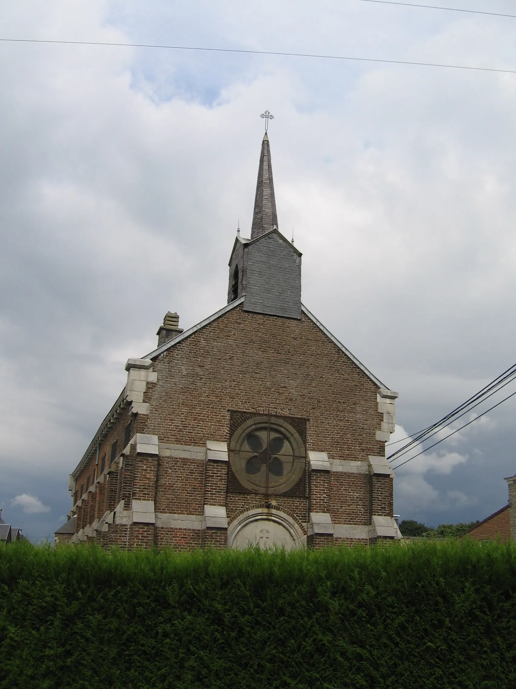
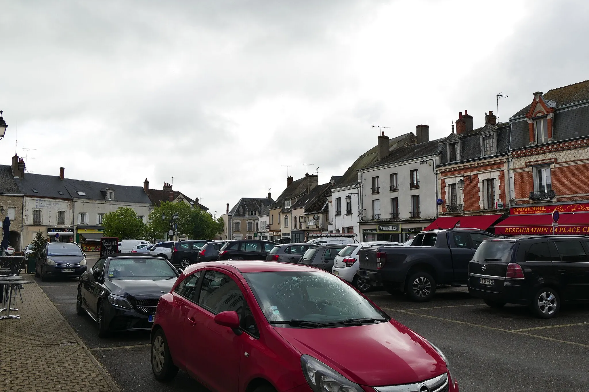
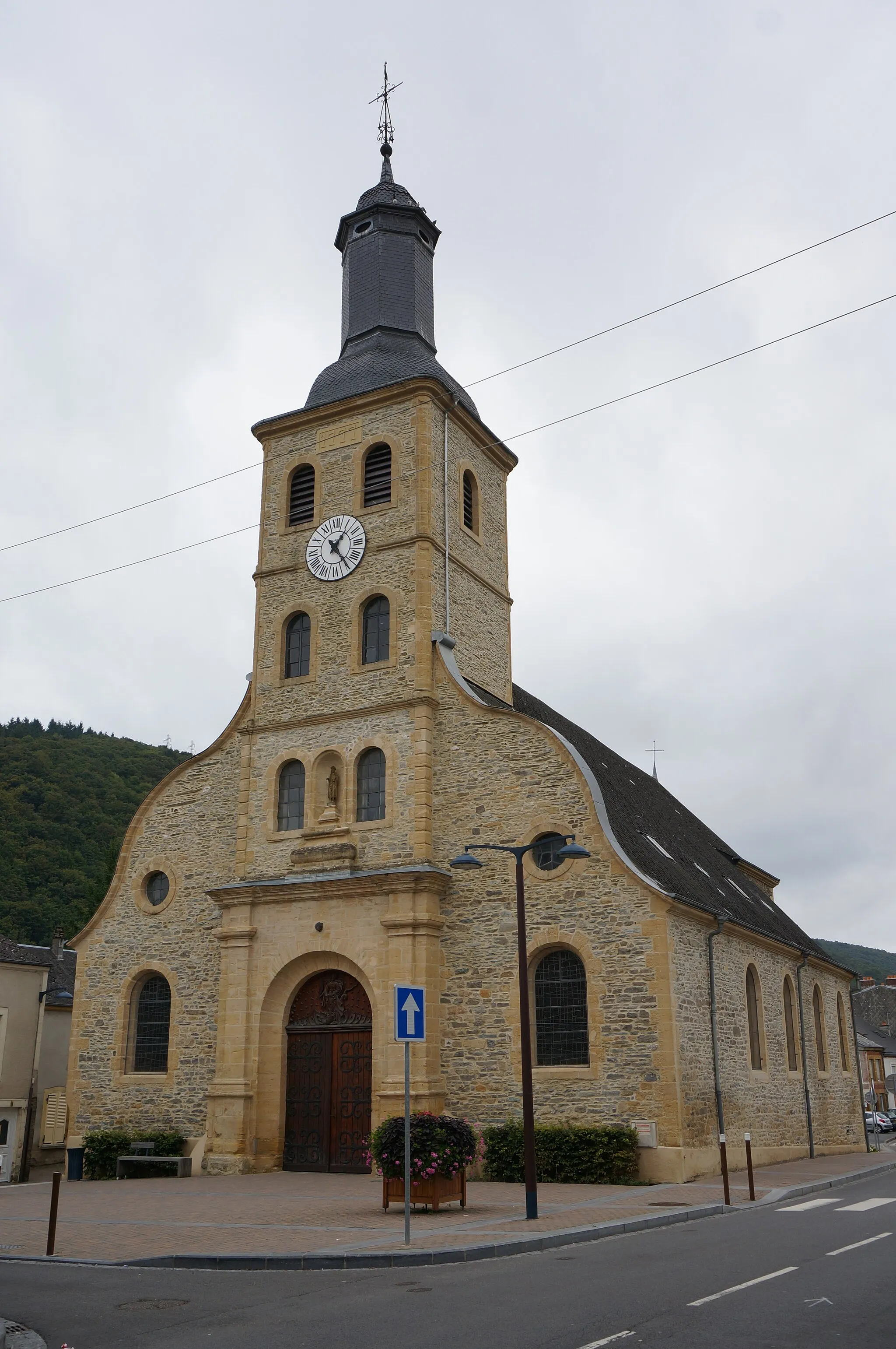
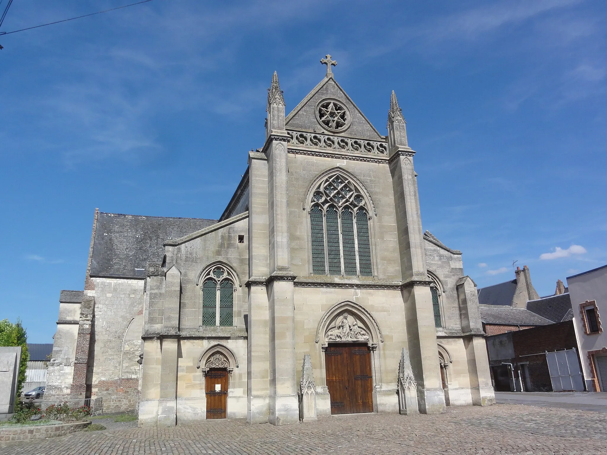
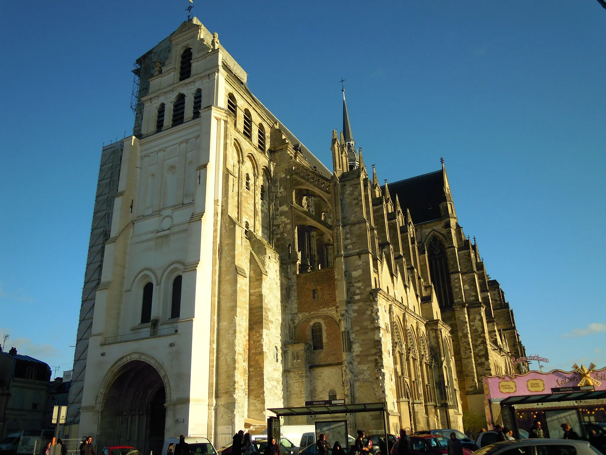
Origny-Sainte-Benoite is a locality situated in the Picardie region of France. From a cyclist's perspective, Origny-Sainte-Benoite offers quiet rural roads that are suitable for leisurely rides or family cycling trips. The town is located in a relatively flat area, making it a good choice for cyclists seeking an easy-going and relaxing bike ride. Origny-Sainte-Benoite belongs to the Parc naturel régional de l'Avesnois, which offers scenic routes through picturesque landscapes, providing cyclists with beautiful natural sights. While not a prominent cycling hotspot, Origny-Sainte-Benoite provides a peaceful cycling experience in a charming and tranquil environment.

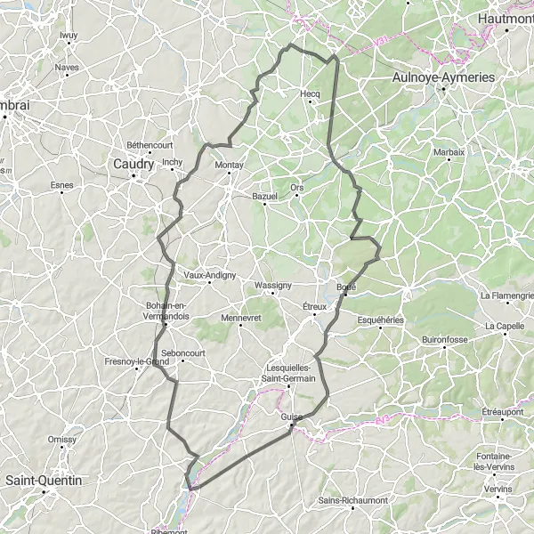
Explore the picturesque route from Origny-Sainte-Benoite to Thenelles
This gravel route takes you through scenic landscapes and charming villages. You'll experience a mix of flat and hilly sections, with a total ascent of 399 meters over a distance of 57 kilometers. The route highlights include picturesque views in Thenelles, Fontaine-Uterte, Bohain-en-Vermandois, Noyales, and the starting point - Origny-Sainte-Benoite.

Explore the charming village of Étaves-et-Bocquiaux
Embark on a road cycling adventure through the charming village of Étaves-et-Bocquiaux. With a total ascent of 432 meters and a distance of 55 kilometers, this route offers a moderate challenge for cyclists of all levels. Enjoy the beautiful landscapes, conquer rolling hills, and soak in the peaceful ambiance of this scenic region.

Embark on a scenic gravel journey from Moÿ-de-l'Aisne to Regny
This gravel route offers a mix of beautiful landscapes and charming villages. With a distance of 58 kilometers and an ascent of 238 meters, it presents a moderate challenge. The highlights along the way include Moÿ-de-l'Aisne, Hinacourt, Essigny-le-Grand, Itancourt, and Regny.

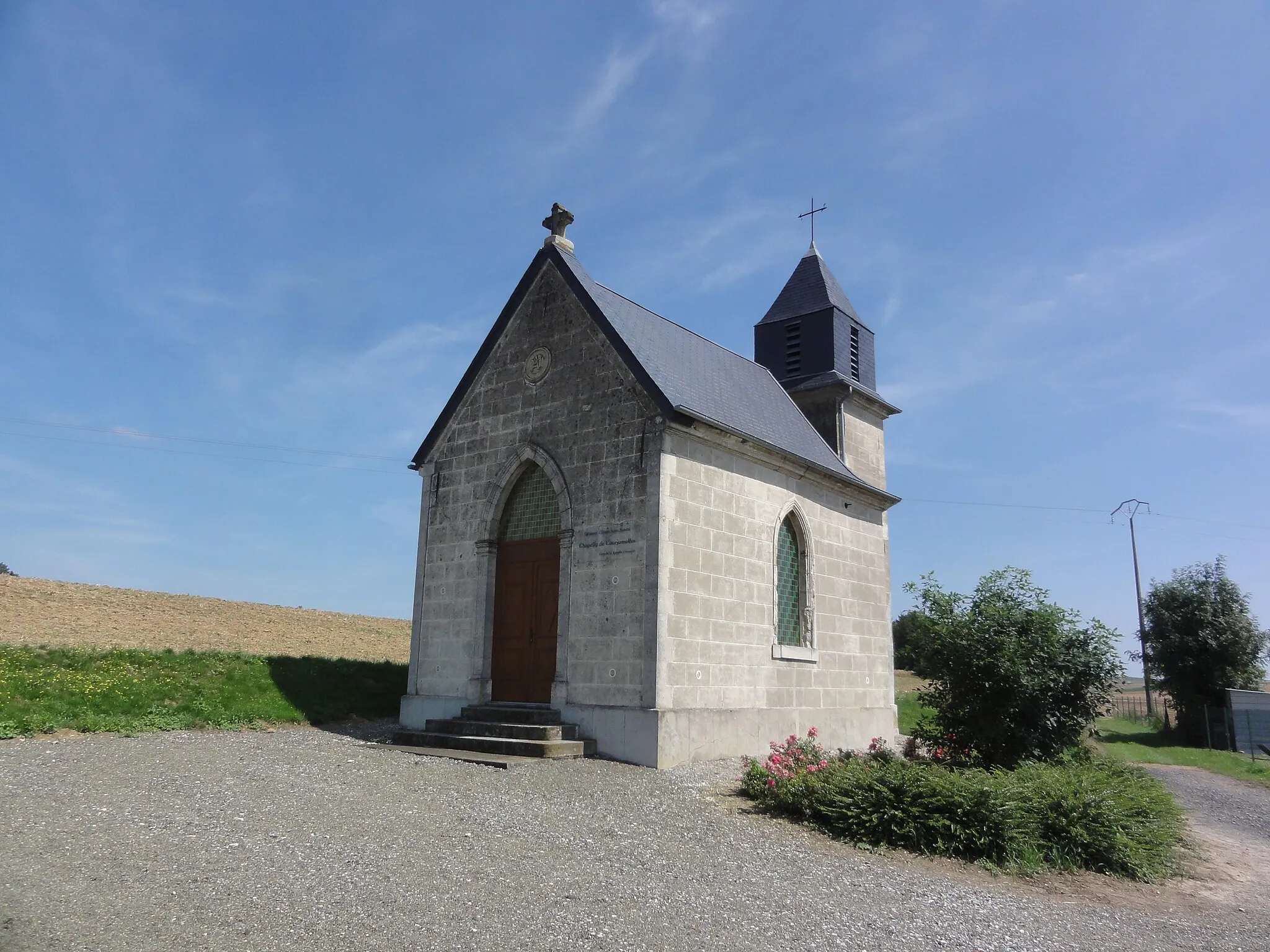
Discover the charming villages of Sons-et-Ronchères
This road cycling route takes you through the picturesque villages of Sons-et-Ronchères, Barenton-Cel, Vivaise, Monceau-lès-Leups, and back to Origny-Sainte-Benoite. With a total ascent of 495 meters and a distance of 74 kilometers, this route offers a moderate challenge for well-trained amateur cyclists. Enjoy the scenic countryside and immerse yourself in the local culture as you ride through these charming villages along the way.
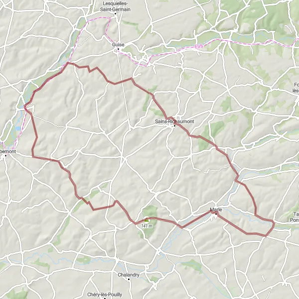
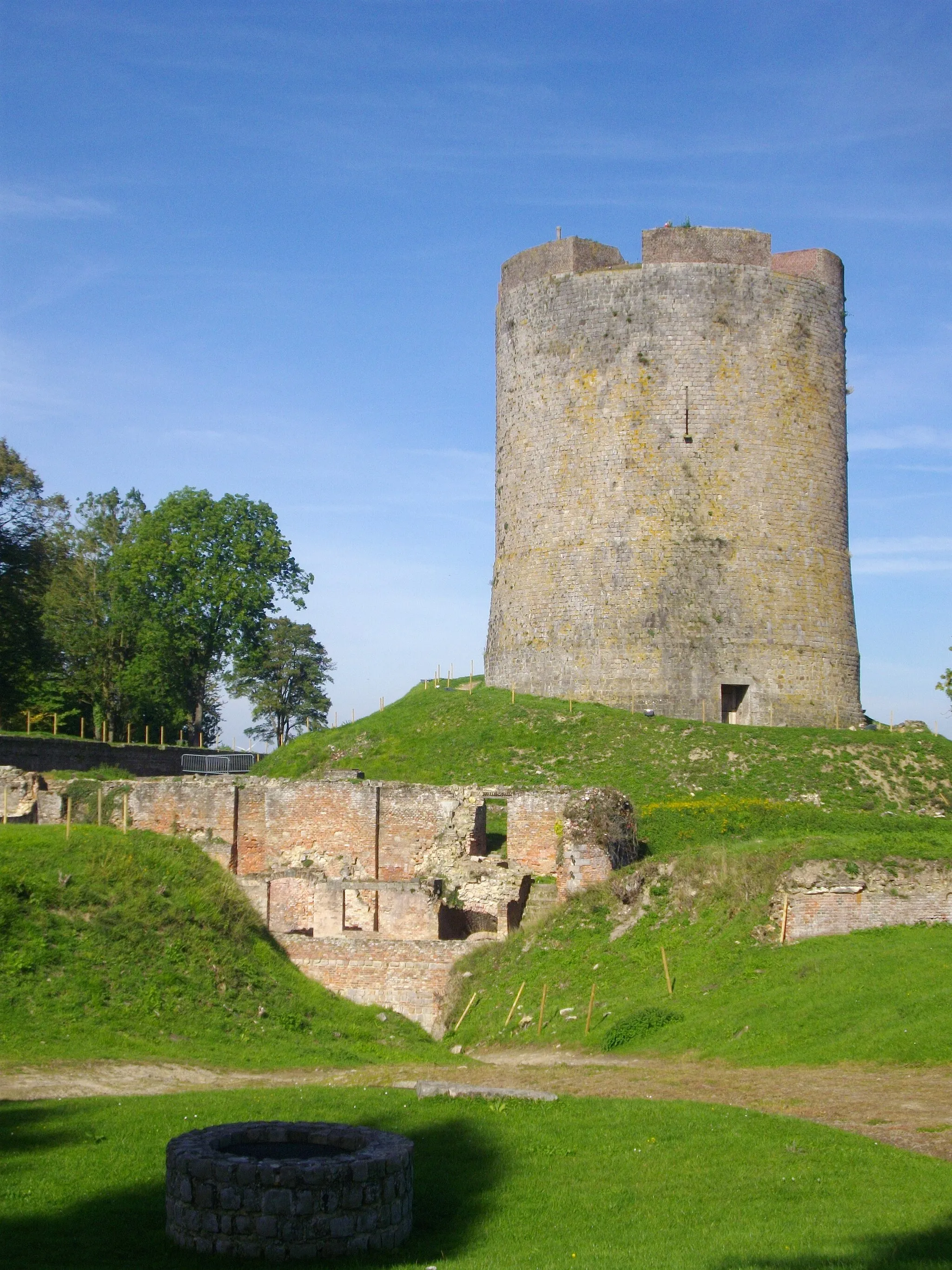
Experience the beauty of Mont-d'Origny to Ribemont road route
This road route takes you through picturesque landscapes and cultural landmarks. With a total distance of 48 kilometers and an ascent of 367 meters, this route presents a moderate challenge. The highlights include Mont-d'Origny, La Ferté-Chevresis, Nouvion-et-Catillon, Ribemont, and of course, the starting point - Origny-Sainte-Benoite.
The Mont-d'Origny Gravel Ride
Experience the rugged beauty of Mont-d'Origny
This gravel cycling route will take you on a thrilling adventure through the Mont-d'Origny region. With an ascent of 179 meters and a distance of 25 kilometers, this route is perfect for those seeking a shorter, yet challenging ride. Explore the scenic countryside and enjoy the rugged beauty of the area as you navigate the gravel roads.
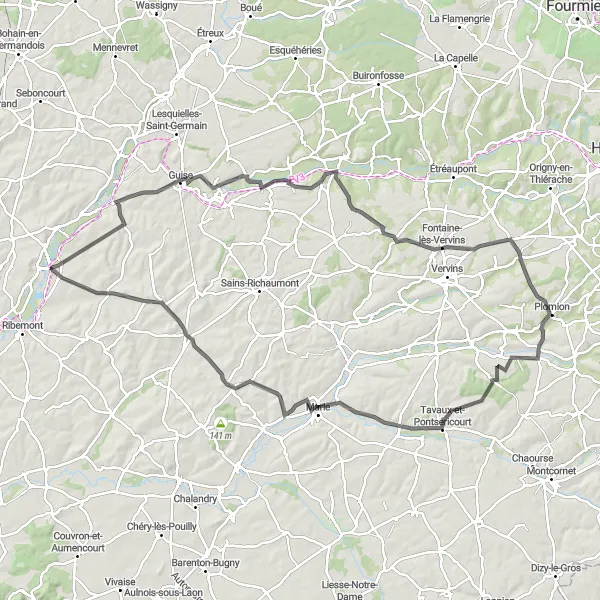
A challenging road cycling route through Monceau-sur-Oise
Embark on a challenging road cycling journey through the beautiful landscapes surrounding Monceau-sur-Oise. With a total ascent of 845 meters and a distance of 104 kilometers, this route offers an exhilarating experience for well-trained amateur cyclists. Ride through picturesque villages, conquer demanding climbs, and enjoy the stunning views along the way.
The Audigny Gravel Explorer
Discover the hidden gems of Audigny
Saddle up and embark on a gravel cycling journey through the hidden gems of Audigny. With an ascent of 716 meters and a distance of 80 kilometers, this route is sure to excite gravel enthusiasts. Explore the rustic landscapes, conquer challenging terrains, and immerse yourself in the beauty of this remarkable region.
Embark on an epic journey from Origny-Sainte-Benoite to Landrecies
This challenging road route spans 120 kilometers with an ascent of 812 meters. It showcases stunning countryside views, and you'll pass through numerous charming villages. The highlights along this route include Origny-Sainte-Benoite, Étaves-et-Bocquiaux, Troisvilles, Louvignies-Quesnoy, Landrecies, Le Sart, Axe vert de la Thiérache, and Mont-d'Origny.
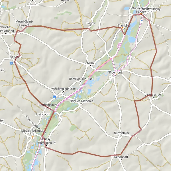
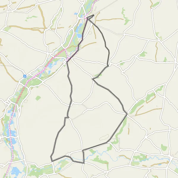
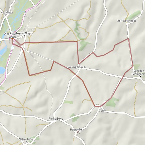
Explore the beauty of Origny-Sainte-Benoite to Thenelles gravel route
This gravel route covers 44 kilometers with an ascent of 330 meters. It takes you through charming villages and scenic countryside. The highlights include Origny-Sainte-Benoite, Renansart, Berthenicourt, Mesnil-Saint-Laurent, and Thenelles.
Cycling routes nearby:

Nearby regions: