The Montagne de Lataule Loop
A road cycling route starting from Ressons-sur-Matz
Explore the scenic Montagne de Lataule on this road cycling route
Map
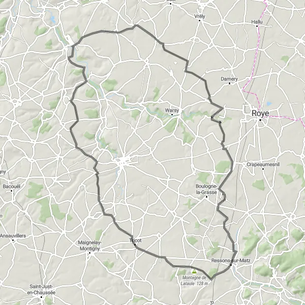
The Montagne de Lataule Loop is a picturesque road cycling route starting near Ressons-sur-Matz. With a distance of 93 km and 404 meters of ascent, this loop offers a challenging yet rewarding experience. The highlight of this route is Montagne de Lataule, a stunning mountainous region known for its breathtaking views. Ride through charming towns like Belloy and Royaucourt, and enjoy the pleasant countryside scenery along the way. This route is suitable for well-trained amateur cyclists looking for a memorable cycling adventure.
road
93 km
404 m
Tough
Route profile
Highlights on the route
0 km
0 km
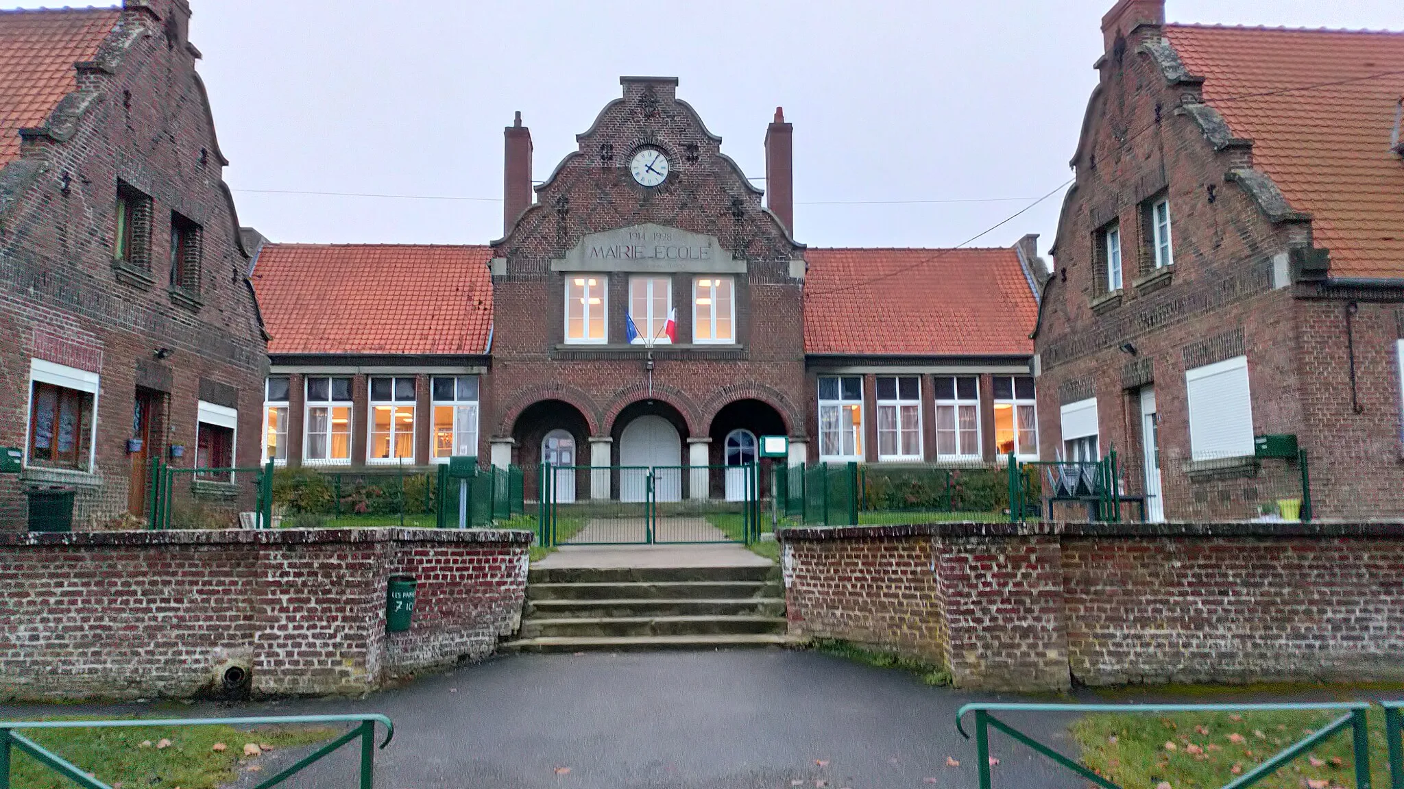
Start: Ressons-sur-Matz Village centerRessons-sur-Matz: Peaceful rides in the countryside of Picardie.
Ressons-sur-Matz is a locality in Picardie, France that offers limited cycling opportunities. It is a small village with mostly basic roads that are not specifically catered towards cycling. While Ressons-sur-Matz may not be a popular destination for cyclists, it still provides a peaceful and quiet environment for leisurely rides in the countryside. With its natural beauty and tranquility, Ressons-sur-Matz is a suitable location for recreational cycling.5 km
5 km
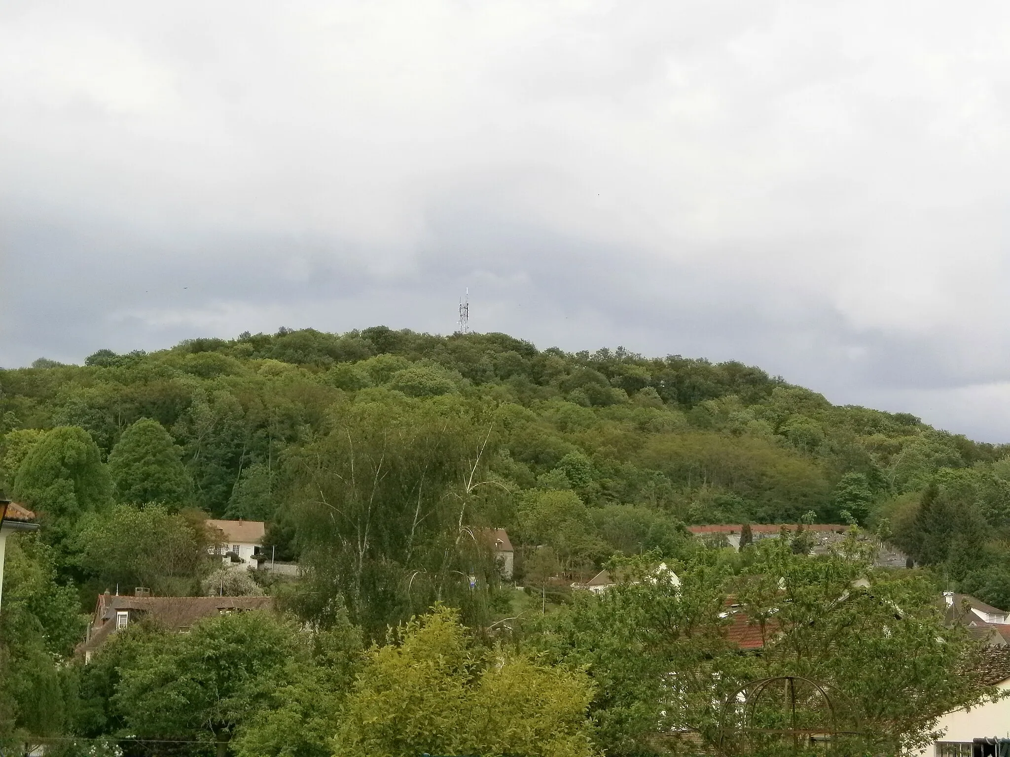
Montagne de Lataule128 mPeakMake sure to stop at Montagne de Lataule and take in the breathtaking views from the top.
7 km
7 km
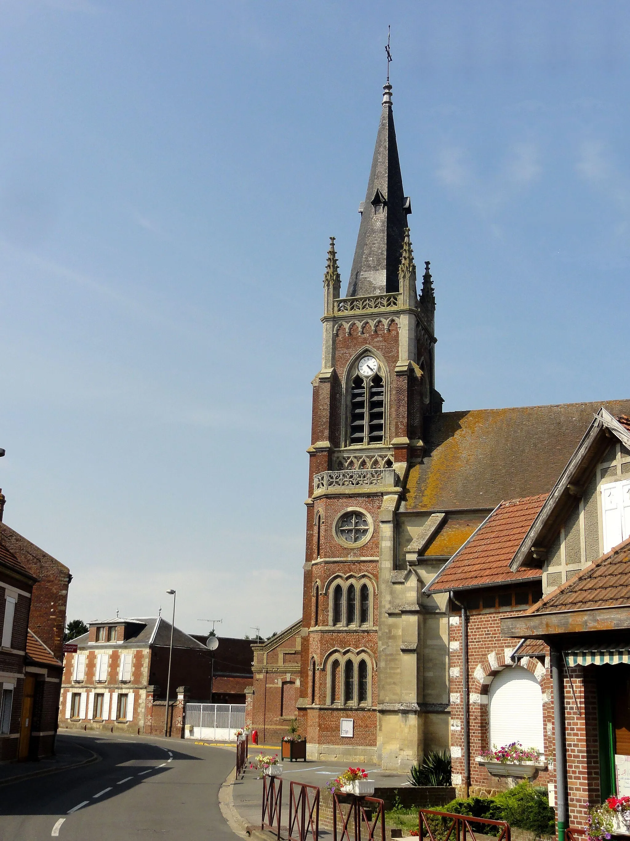
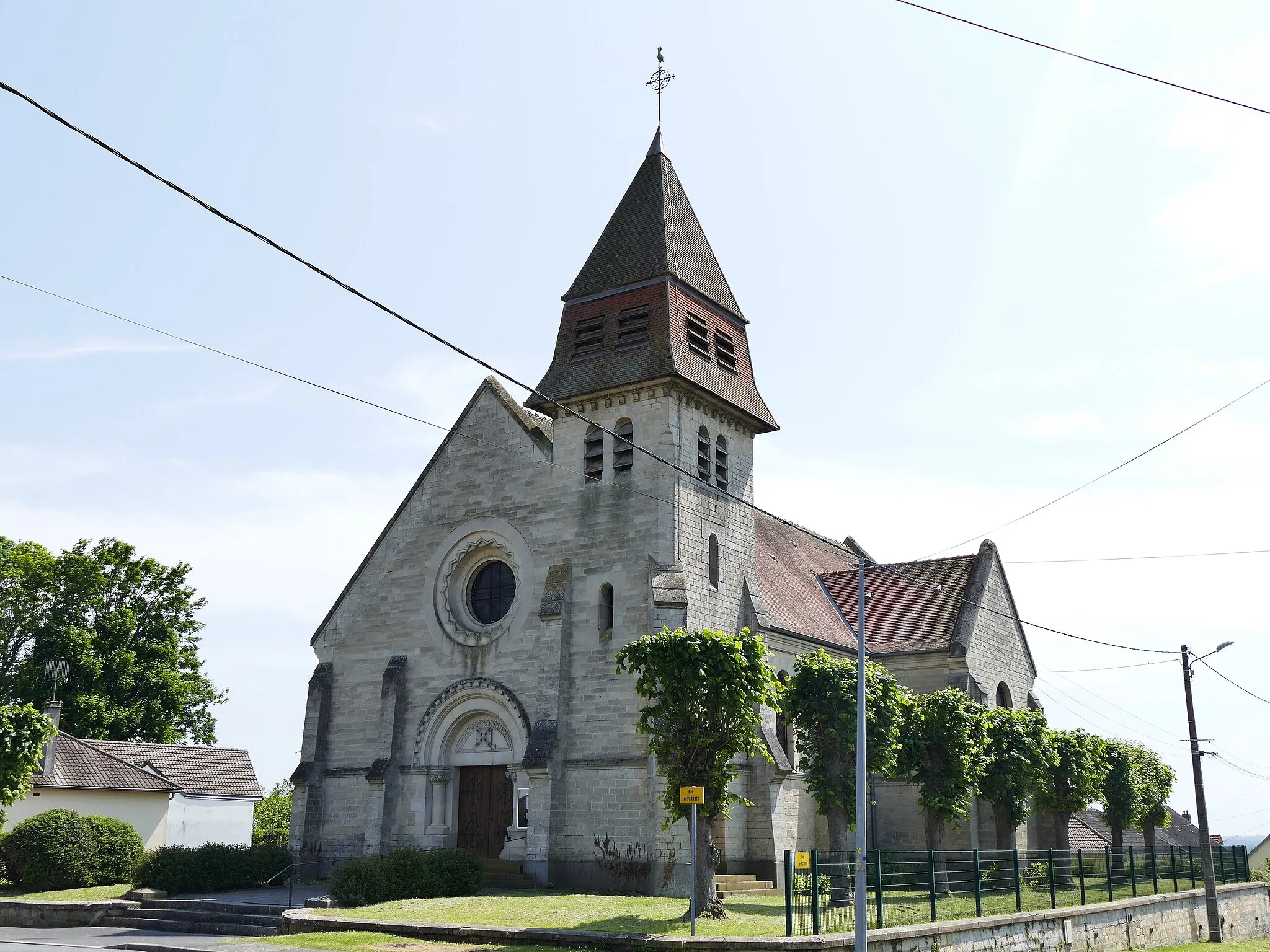
BelloyVillageBelloy is a charming town along the route, worth exploring with its historic buildings and local cafes.
21 km
21 km
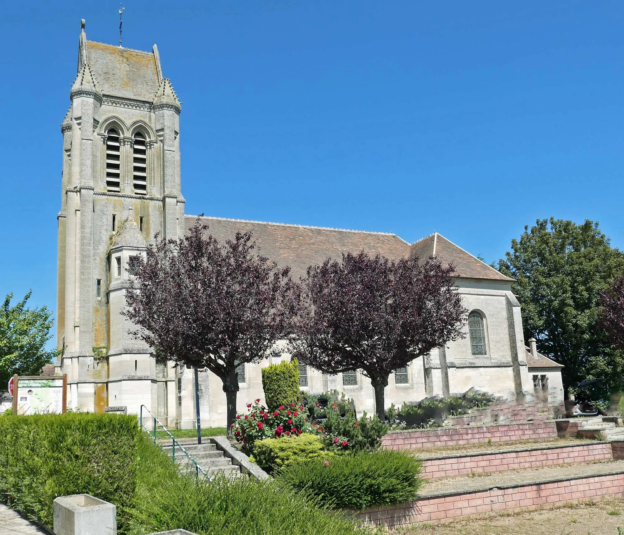
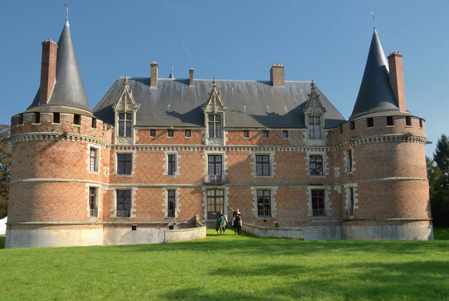
RoyaucourtVillageCycle through the scenic town of Royaucourt and enjoy the peaceful countryside surroundings.
38 km
38 km
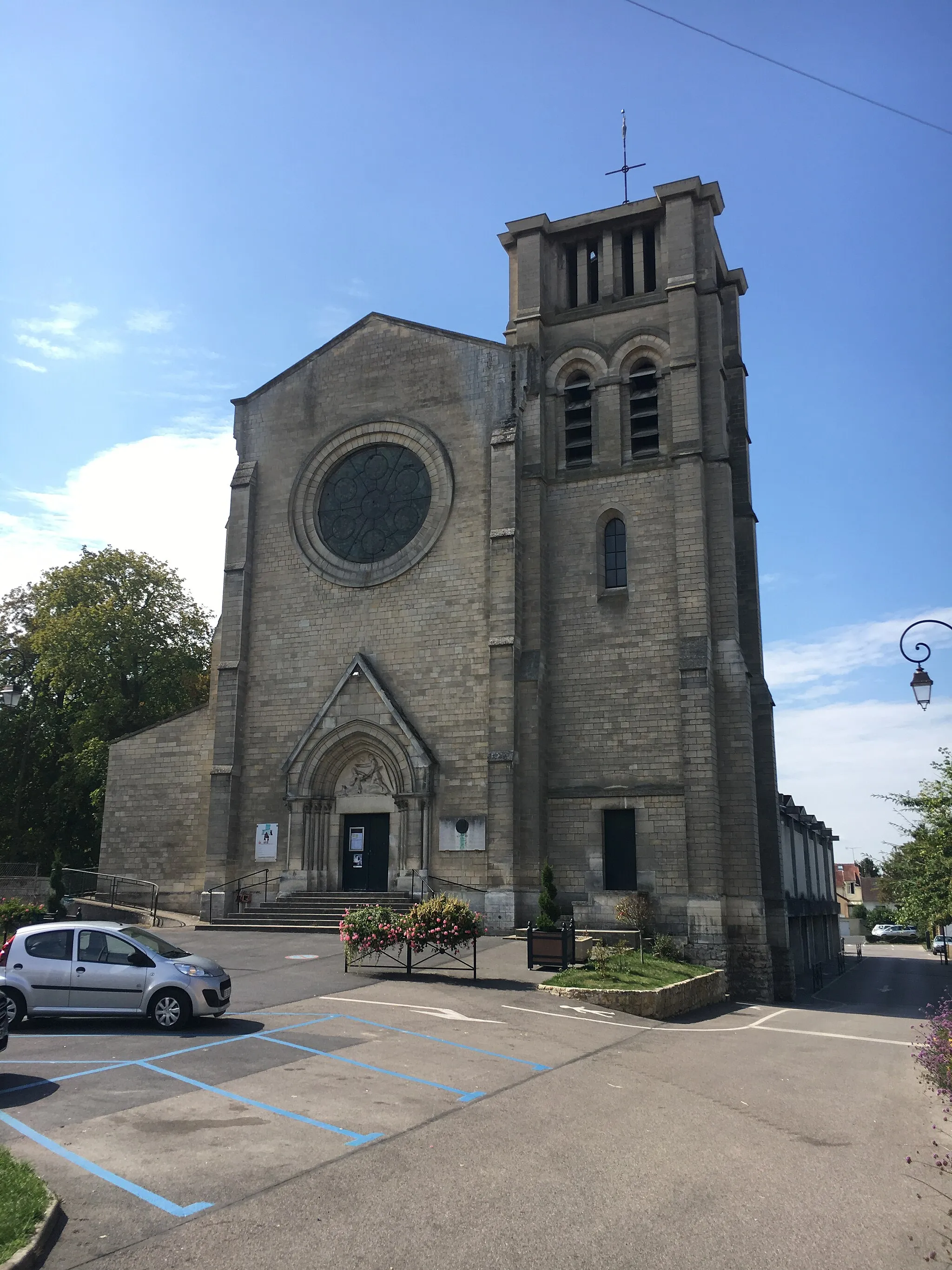
BrachesVillageBraches is a quaint village known for its beautiful architecture and tranquil atmosphere.
61 km
61 km
BouchoirVillagePass by Bouchoir, a small village with a rich history and interesting landmarks.
84 km
84 km
Conchy-les-PotsVillageConchy-les-Pots is a charming town with traditional French architecture and a peaceful atmosphere.
93 km
93 km
Ressons-sur-MatzVillageThe route starts and ends near Ressons-sur-Matz, a picturesque village with scenic countryside views.
93 km
93 km
Finish: Ressons-sur-Matz Village centerRessons-sur-Matz: Peaceful rides in the countryside of Picardie.
Cycling routes from Ressons-sur-Matz:
Road Cycling Exploration of Picardie The Boulogne-la-Grasse Gravel Adventure Gravel Adventure through the Oise Valley Gravel Loop around Ressons-sur-Matz The Montagne de Lataule Loop The Gournay-sur-Aronde Circuit The Cuvilly Challenge The Oise Valley Road Cycling Loop The Neufvy-sur-Aronde Gravel Ride Discover the Hidden Beauty of Lataule
Cycling routes nearby: