Hanvoile to Saint-Germer-de-Fly Loop
A road cycling route starting from Saint-Germer-de-Fly
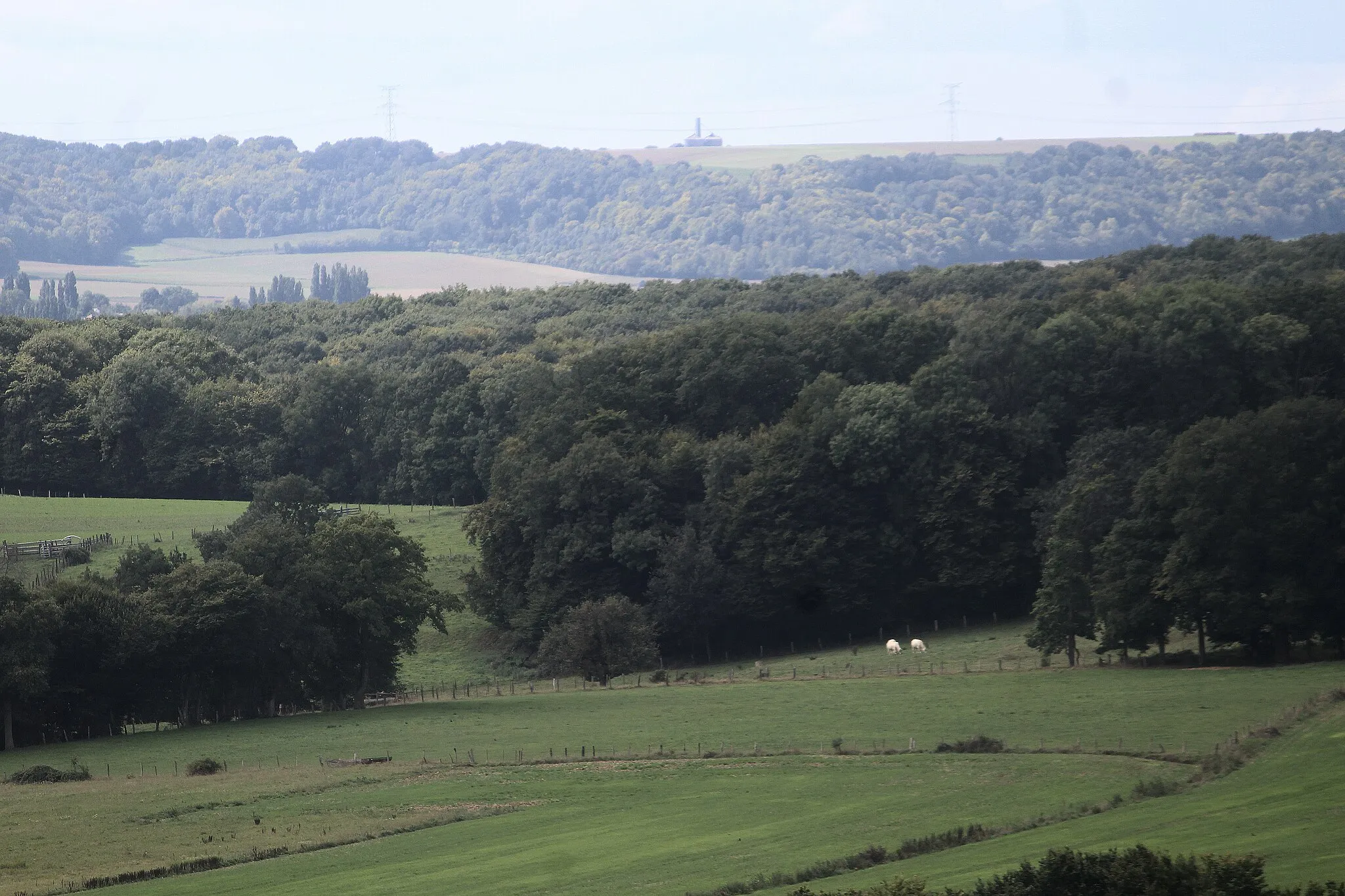
Experience the tranquil beauty of the Oise region on this circular road cycling route
Map
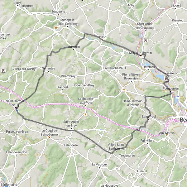
Embark on a scenic 59-kilometer road cycling adventure through the picturesque Oise region. This route starts from Hanvoile and takes you to troissereux, le Mont-Saint-Adrien, and Espaubourg before reaching Saint-Germer-de-Fly. Enjoy stunning panoramic views from the Table d'orientation du Larris de La Landelle and feast your eyes on the picturesque landscapes that define this region. With an ascent of 508 meters, this route is suitable for experienced cyclists looking for a moderate challenge. Epicness: 3
road
59 km
508 m
Tough
Route profile
Highlights on the route
0 km
0 km
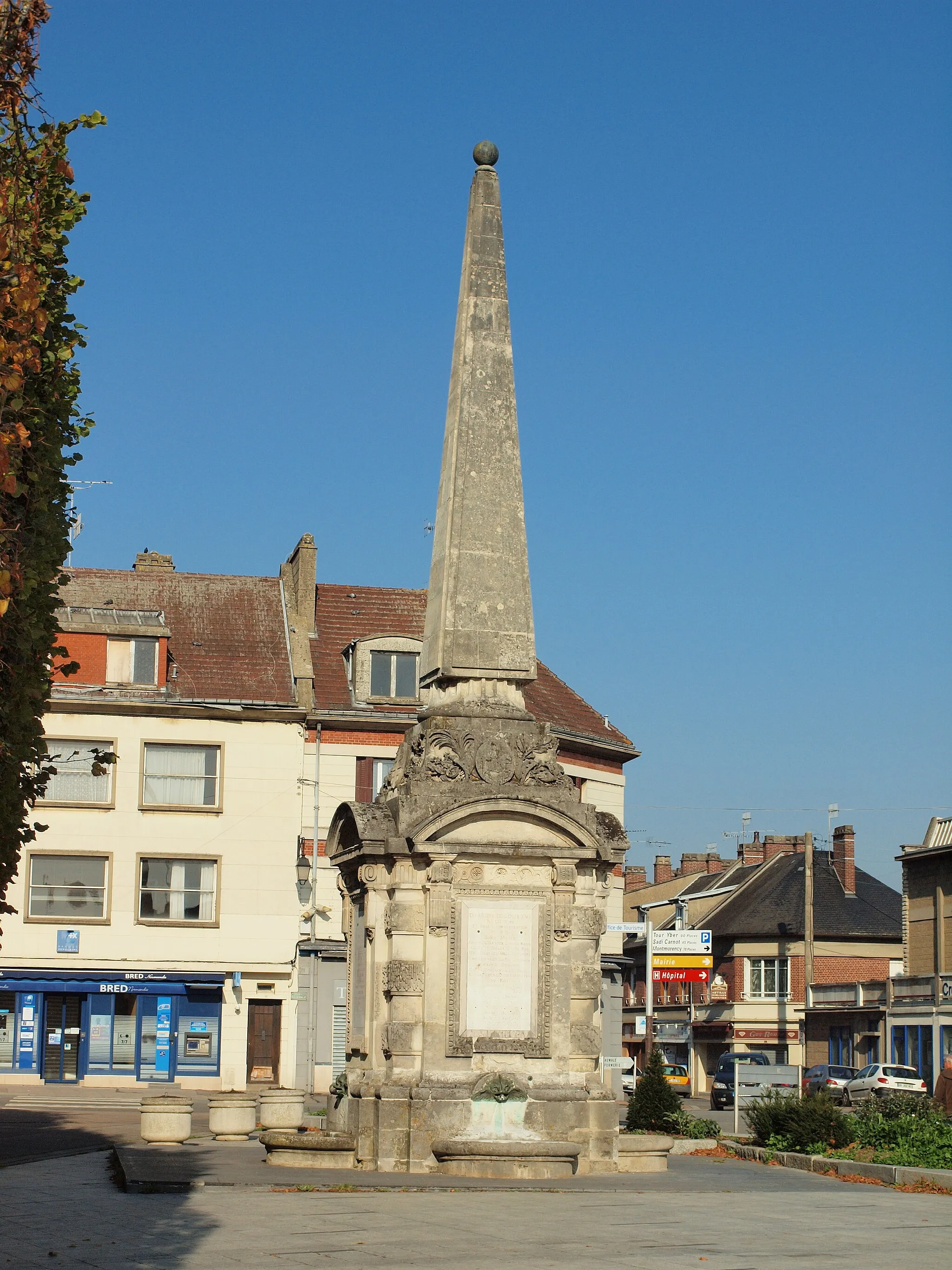
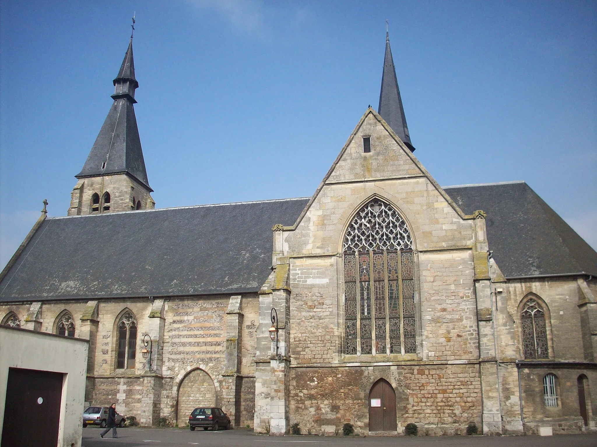
Start: Saint-Germer-de-Fly Village centerSaint-Germer-de-Fly: Cycle through the idyllic landscapes of Saint-Germer-de-Fly
Saint-Germer-de-Fly is a locality in Picardie, France. For cyclists, Saint-Germer-de-Fly offers a picturesque setting with its charming villages and rolling landscapes. The region is dotted with tranquil country roads, perfect for leisurely rides and exploration. Cyclists can immerse themselves in the peaceful atmosphere, enjoying stunning views of the French countryside. Additionally, Saint-Germer-de-Fly is located near the renowned Mont Ventoux climb, which attracts cycling enthusiasts from around the world. With its combination of scenic routes and proximity to iconic cycling spots, Saint-Germer-de-Fly is a fantastic destination for road cyclists looking for a memorable adventure.12 km
12 km
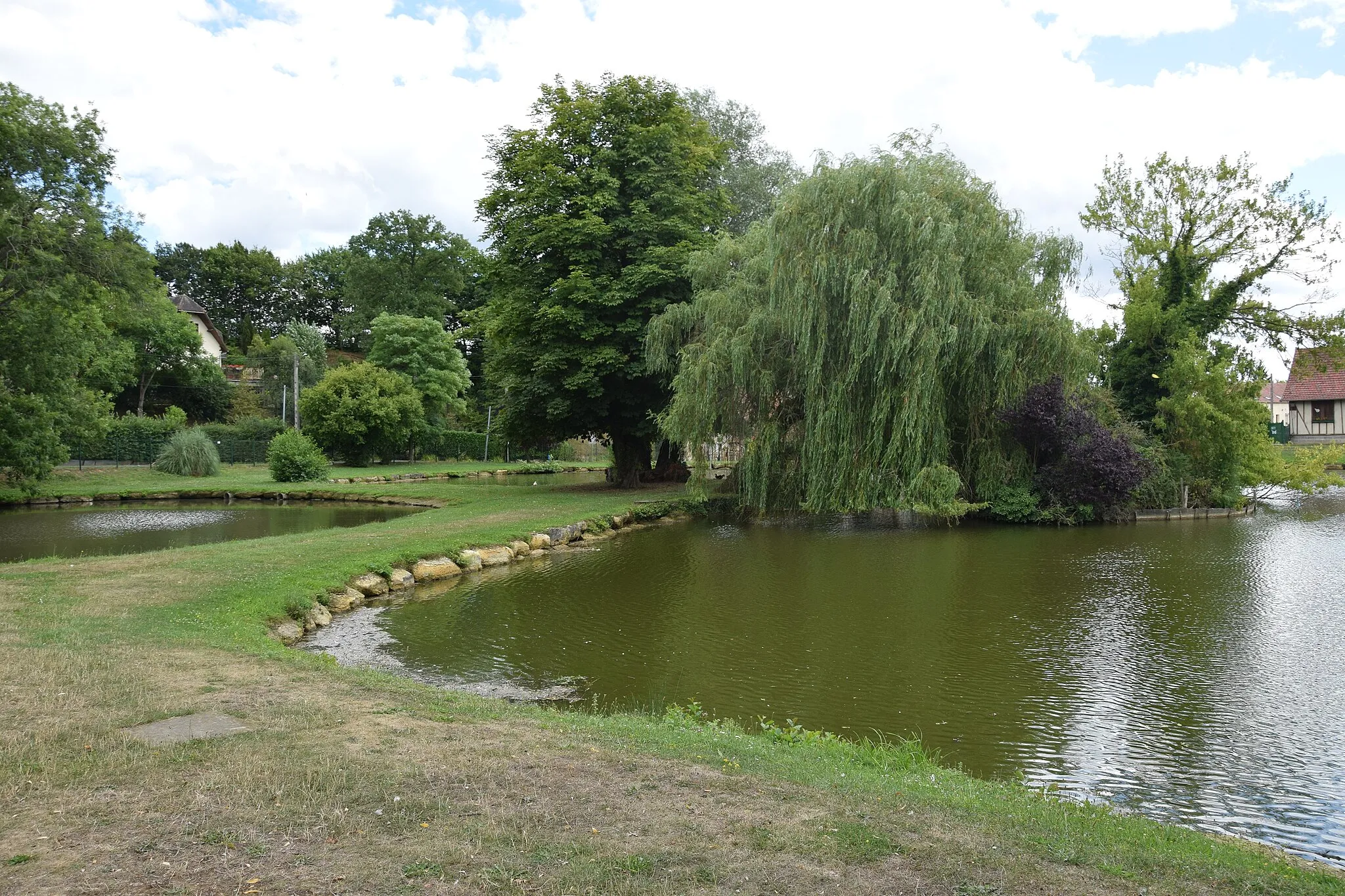
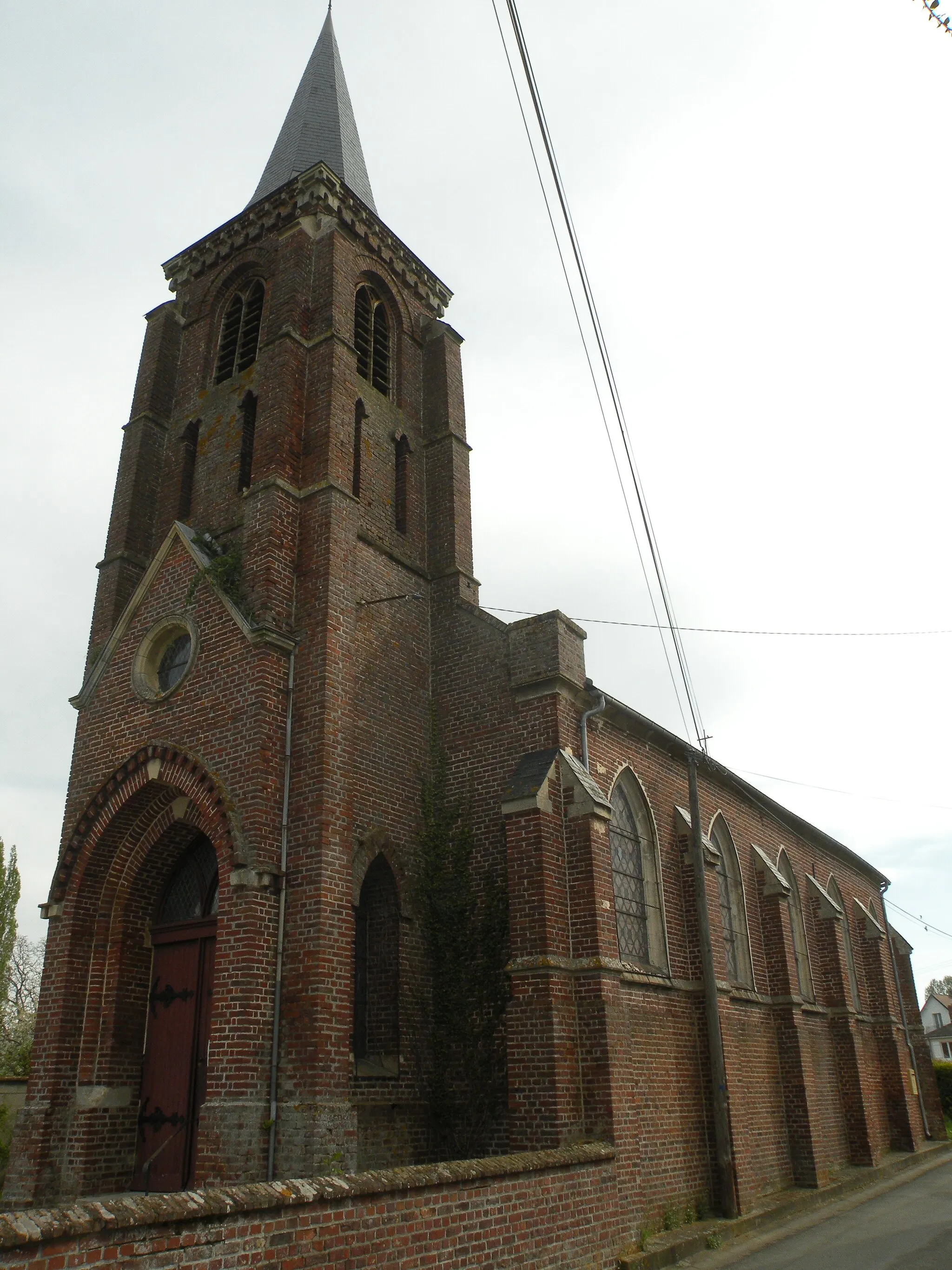
HanvoileVillageEnjoy a scenic ride through the quaint village of Hanvoile and marvel at its charming streets lined with traditional houses.
27 km
27 km
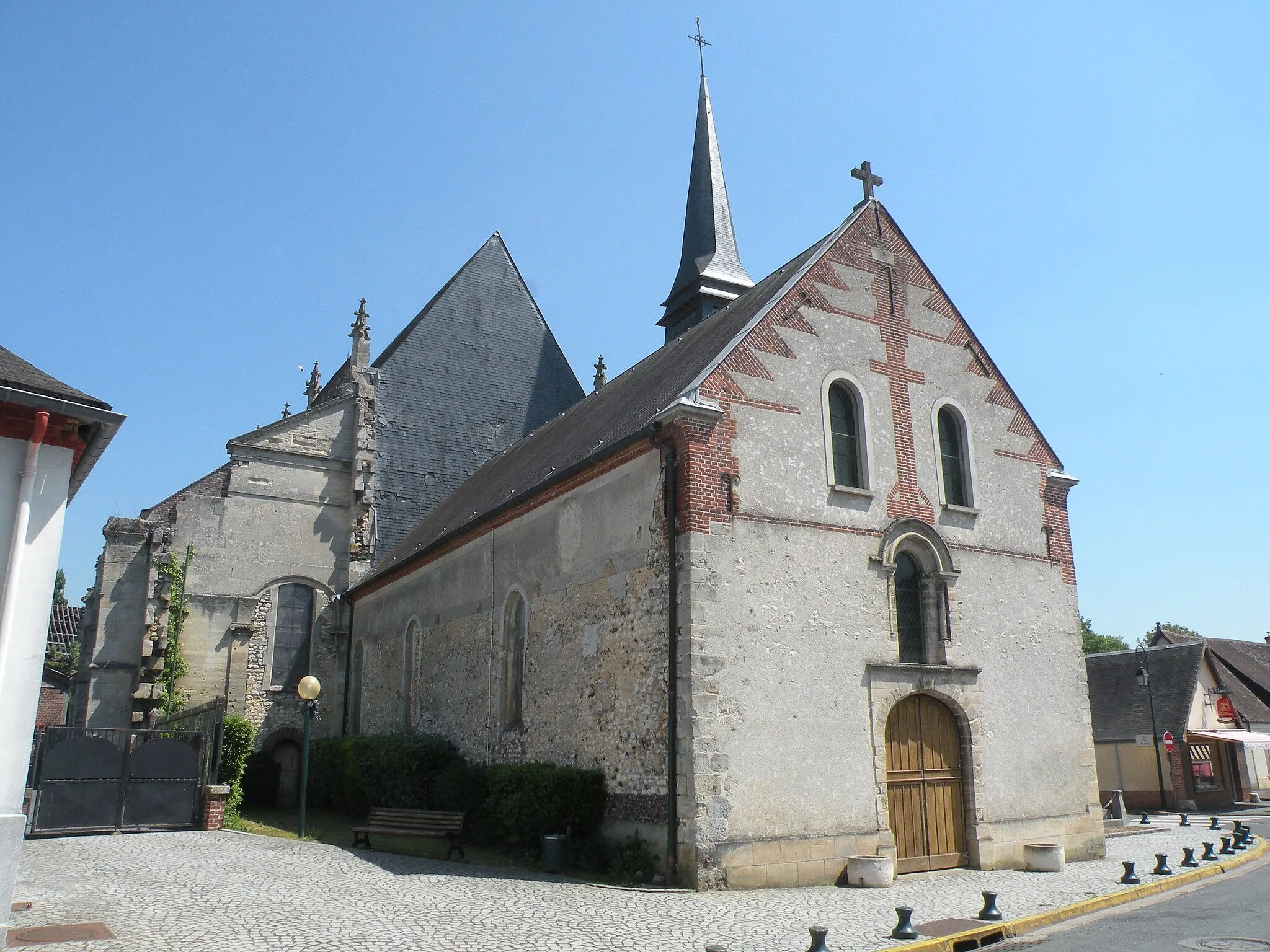
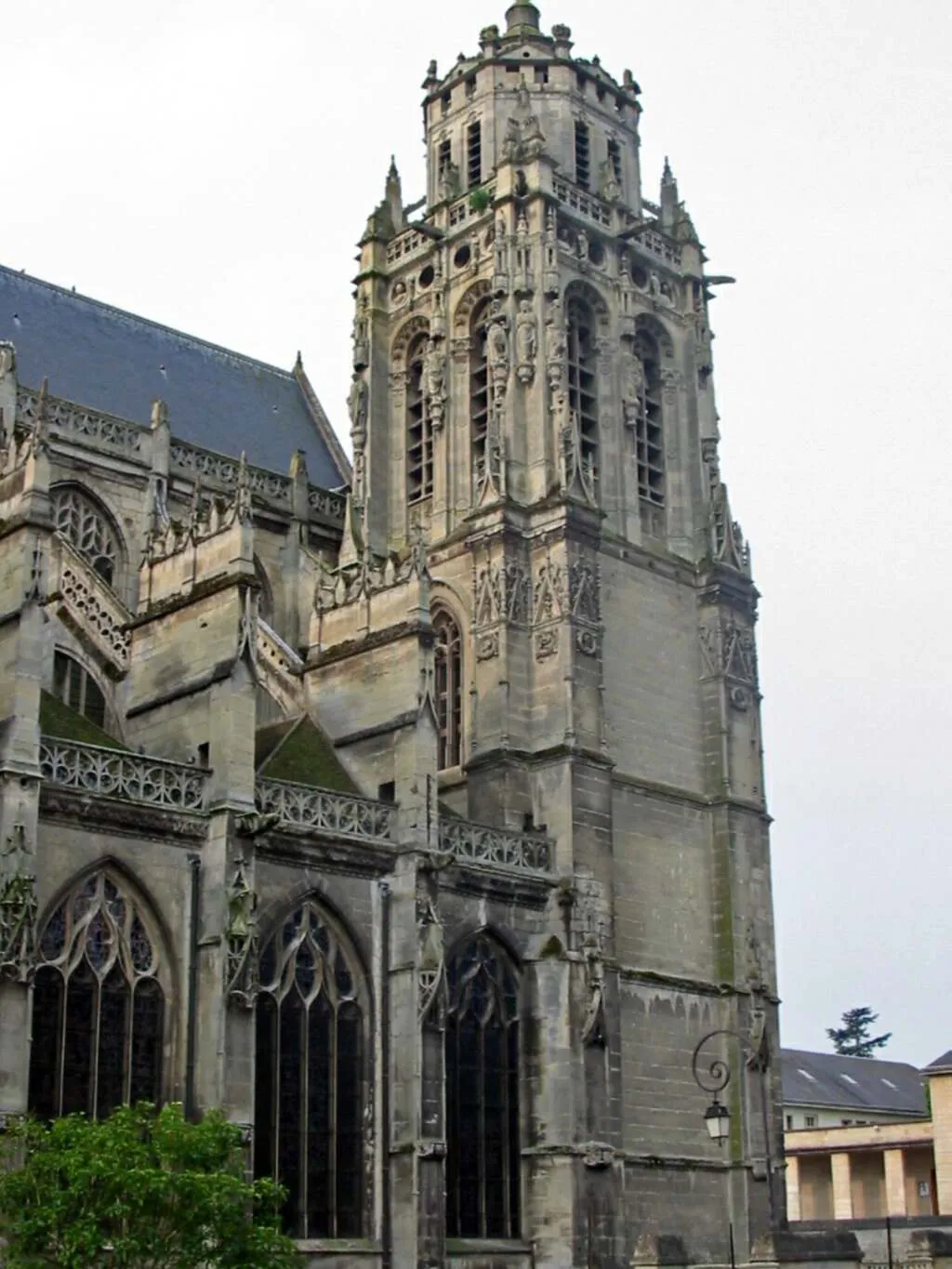
TroissereuxVillagePass through Troissereux, a peaceful village known for its tranquil atmosphere and beautiful natural surroundings.
35 km
35 km
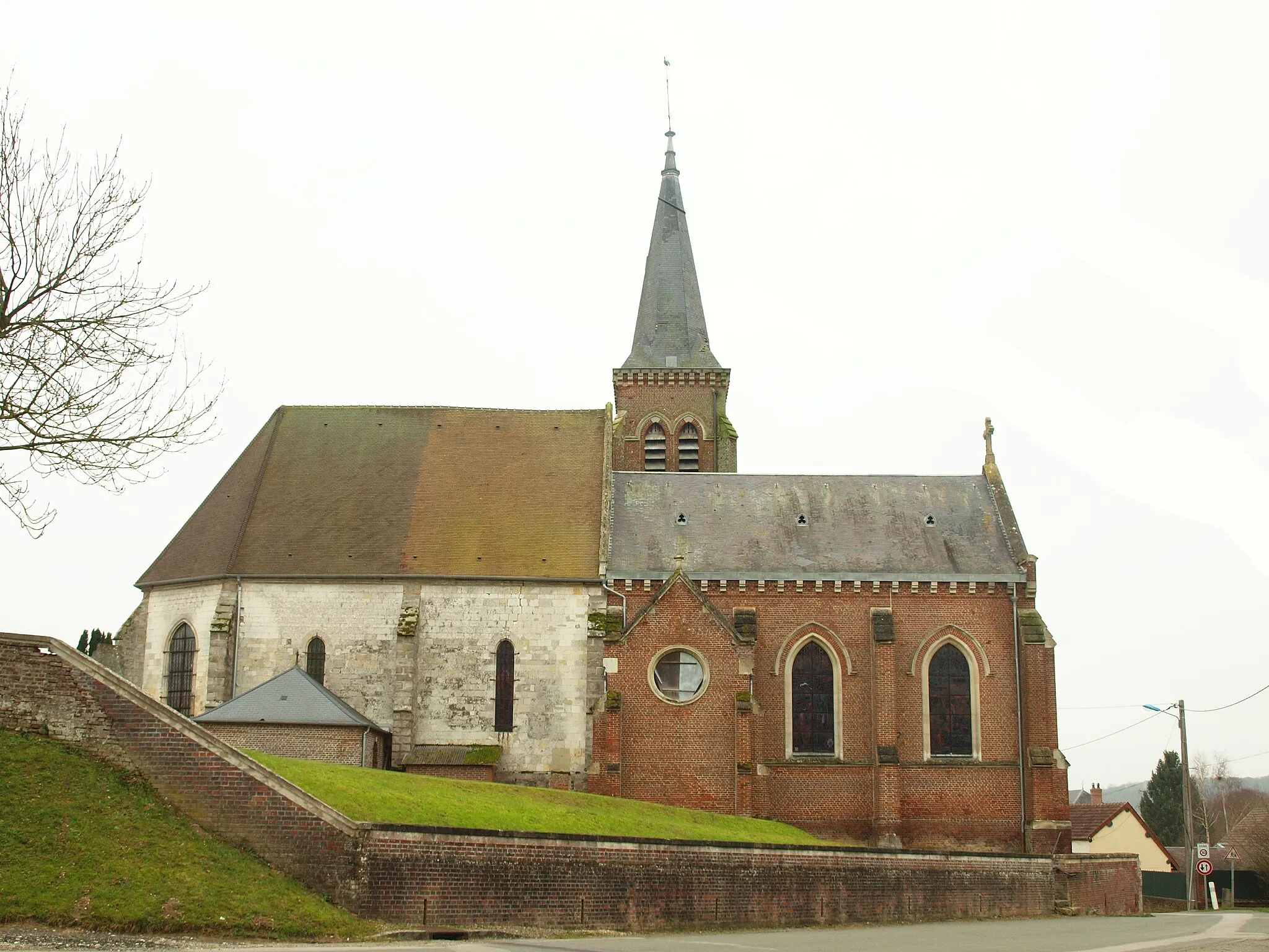
Le Mont-Saint-AdrienVillageVisit Le Mont-Saint-Adrien, a stunning village perched atop a hill, offering breathtaking views of the surrounding countryside.
51 km
51 km
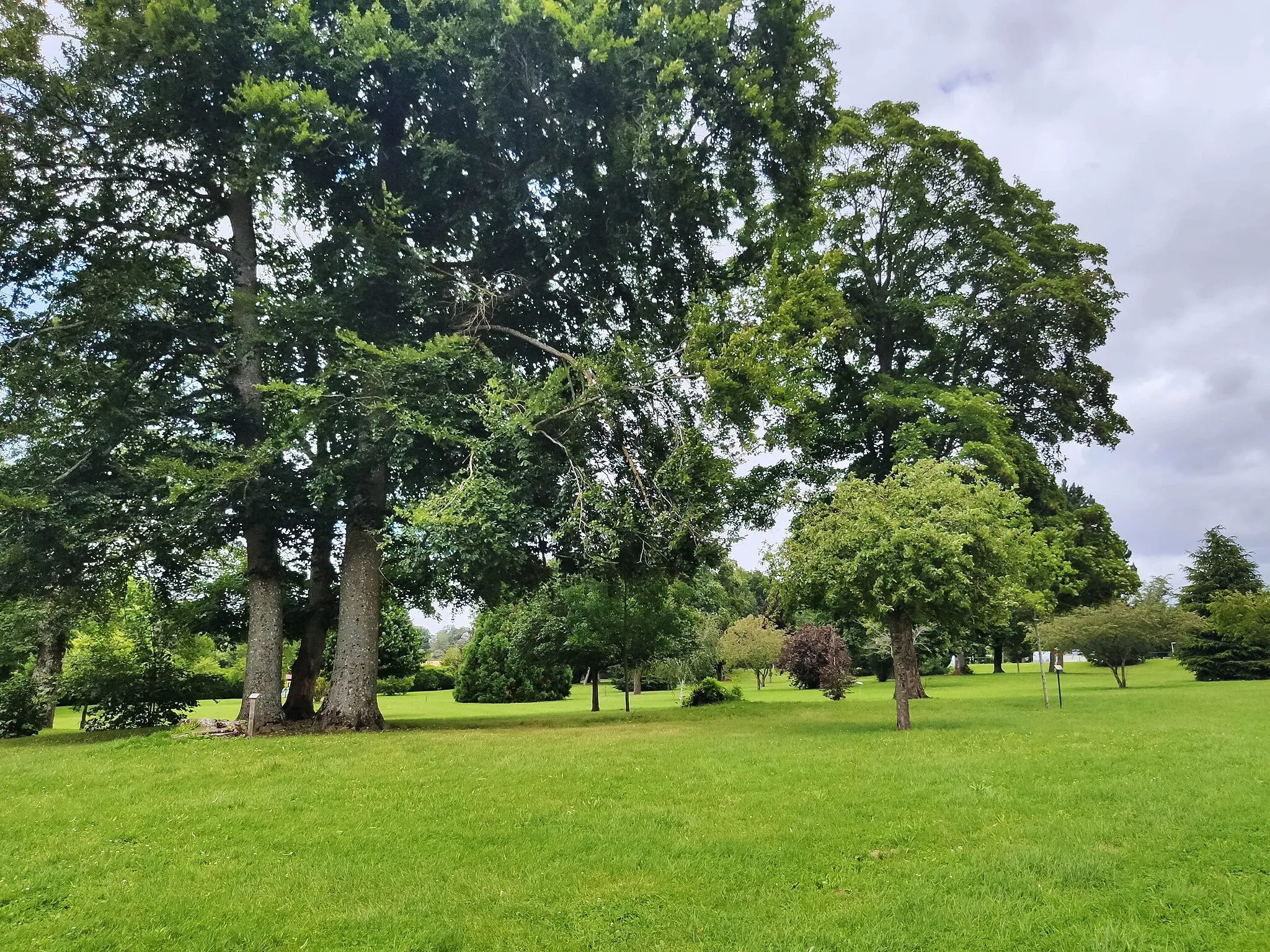
Table d'orientation du Larris de La LandelleViewpointStop at the Table d'orientation du Larris de La Landelle and enjoy panoramic views of the Oise region.
52 km
52 km
EspaubourgVillageExplore the picturesque village of Espaubourg, known for its charming architecture and scenic beauty.
59 km
59 km
Saint-Germer-de-FlyVillageStart your cycling journey from the beautiful village of Saint-Germer-de-Fly, known for its historical heritage and tranquil ambiance.
59 km
59 km
Finish: Saint-Germer-de-Fly Village centerSaint-Germer-de-Fly: Cycle through the idyllic landscapes of Saint-Germer-de-Fly
Cycling routes from Saint-Germer-de-Fly:
Vexin Discovery Picardie Road Cycling Tour Larris and Vauroux Larris de La Landelle Vexin Adventure Lachapelle-aux-Pots to Saint-Germer-de-Fly Loop Saint-Germer-de-Fly to Liancourt-Saint-Pierre Loop Amécourt to Gournay-en-Bray Loop Saint-Germer-de-Fly to Beauvoir-en-Lyons Loop Hanvoile to Saint-Germer-de-Fly Loop
Cycling routes nearby: