The Annel Excursion
A road cycling route starting from Thourotte
Discover the hidden gems of Picardie on this scenic cycling excursion through charming villages and remarkable landscapes.
Map
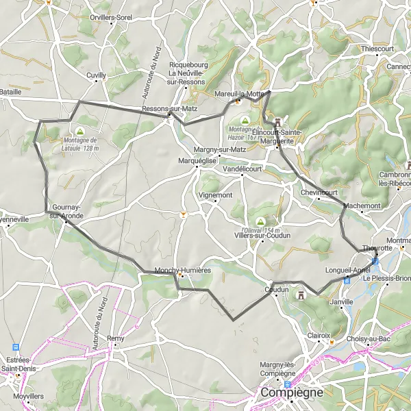
Embark on a delightful 51 km route, with a total ascent of 501 meters, showcasing the rich history and natural beauty of the region. The Annel Excursion takes you through picturesque villages like Longueil-Annel, where you can admire its traditional architecture and idyllic river views. The highlight of the route is the visit to 'Camp de César' or 'Fort du Ganelon,' a historical site with ancient Roman fortifications. As you climb Montagne de la Somme d'Or and Montagne du Hazoir, you'll be rewarded with stunning views of the surrounding countryside. With a difficulty rating of 2 and an epicness score of 3, this route is perfect for leisurely exploration.
road
51 km
501 m
Chill
Route profile
Highlights on the route
0 km
0 km
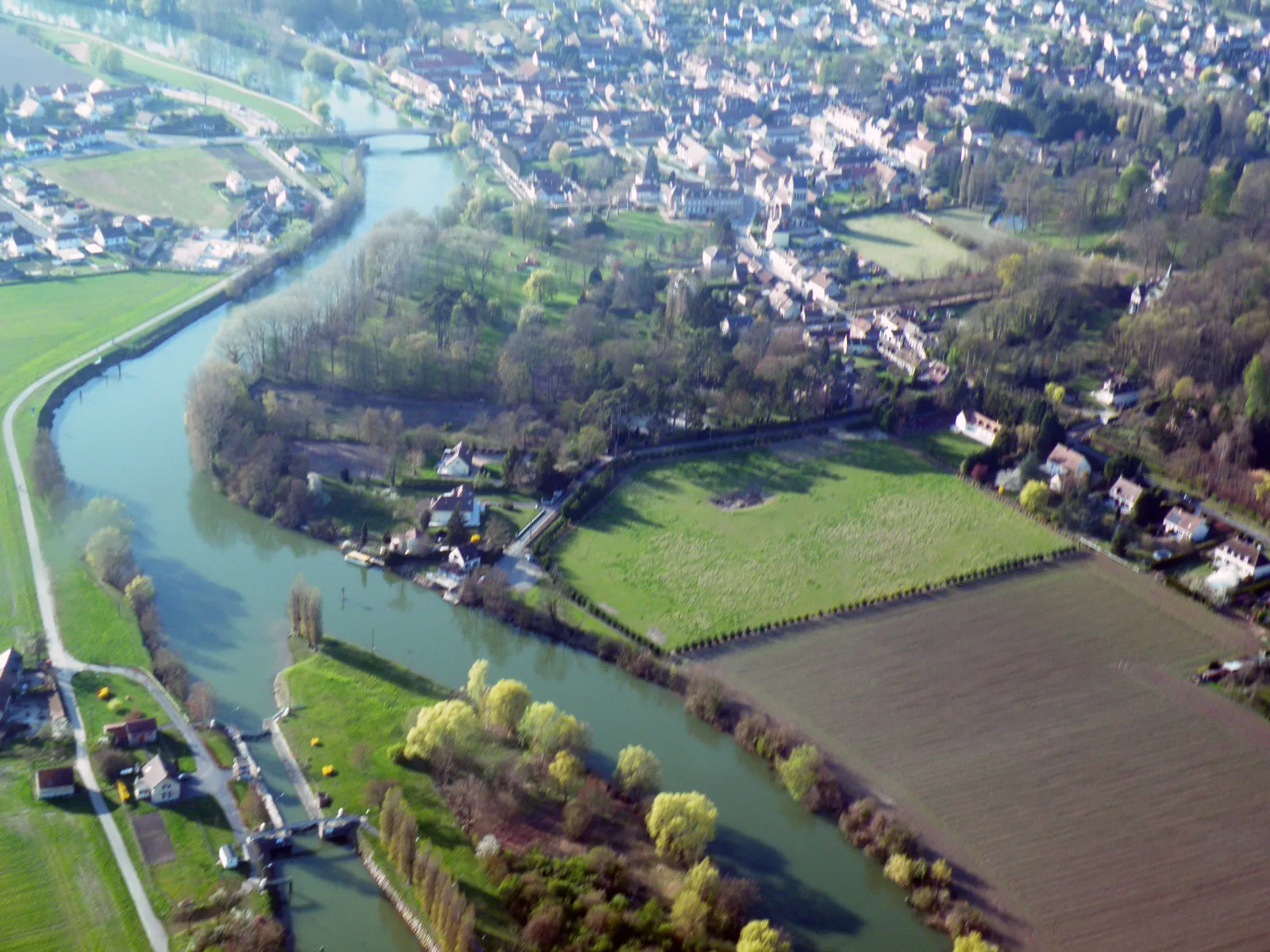
Start: Thourotte Village centerThourotte: Leisurely Cycling Along the Oise River
Thourotte, situated in the Picardie region of France, is a locality that offers pleasant routes for road and gravel cycling. While it may not have any iconic climbs or breathtaking scenery, Thourotte provides an enjoyable cycling experience with its peaceful atmosphere and access to the Oise River trail. Road cyclists can ride along the riverbank and explore nearby villages, while gravel cyclists can venture into the countryside and discover picturesque paths. With its relaxed environment and easy-going cycling routes, Thourotte is a suitable destination for casual riders.2 km
2 km
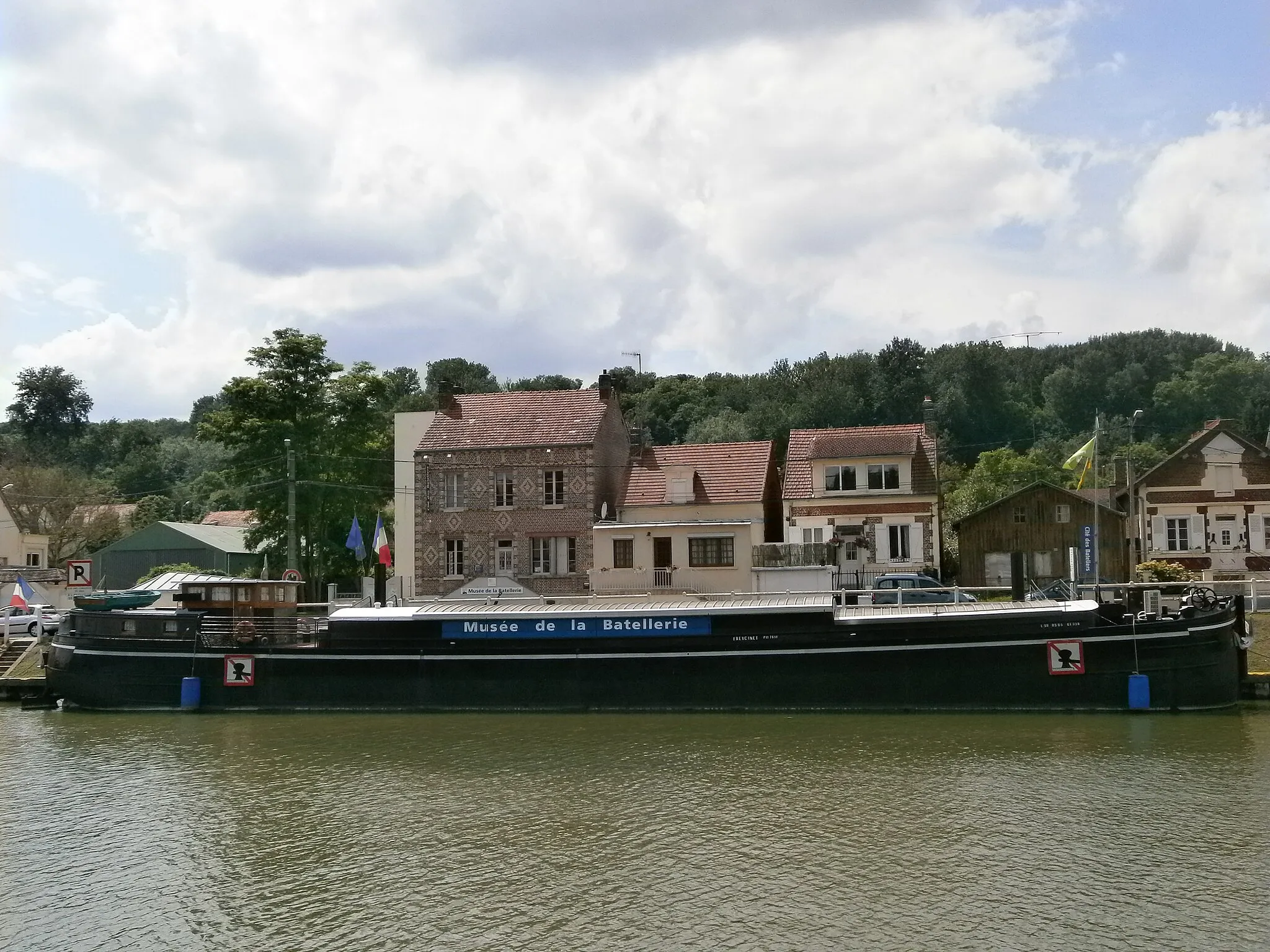
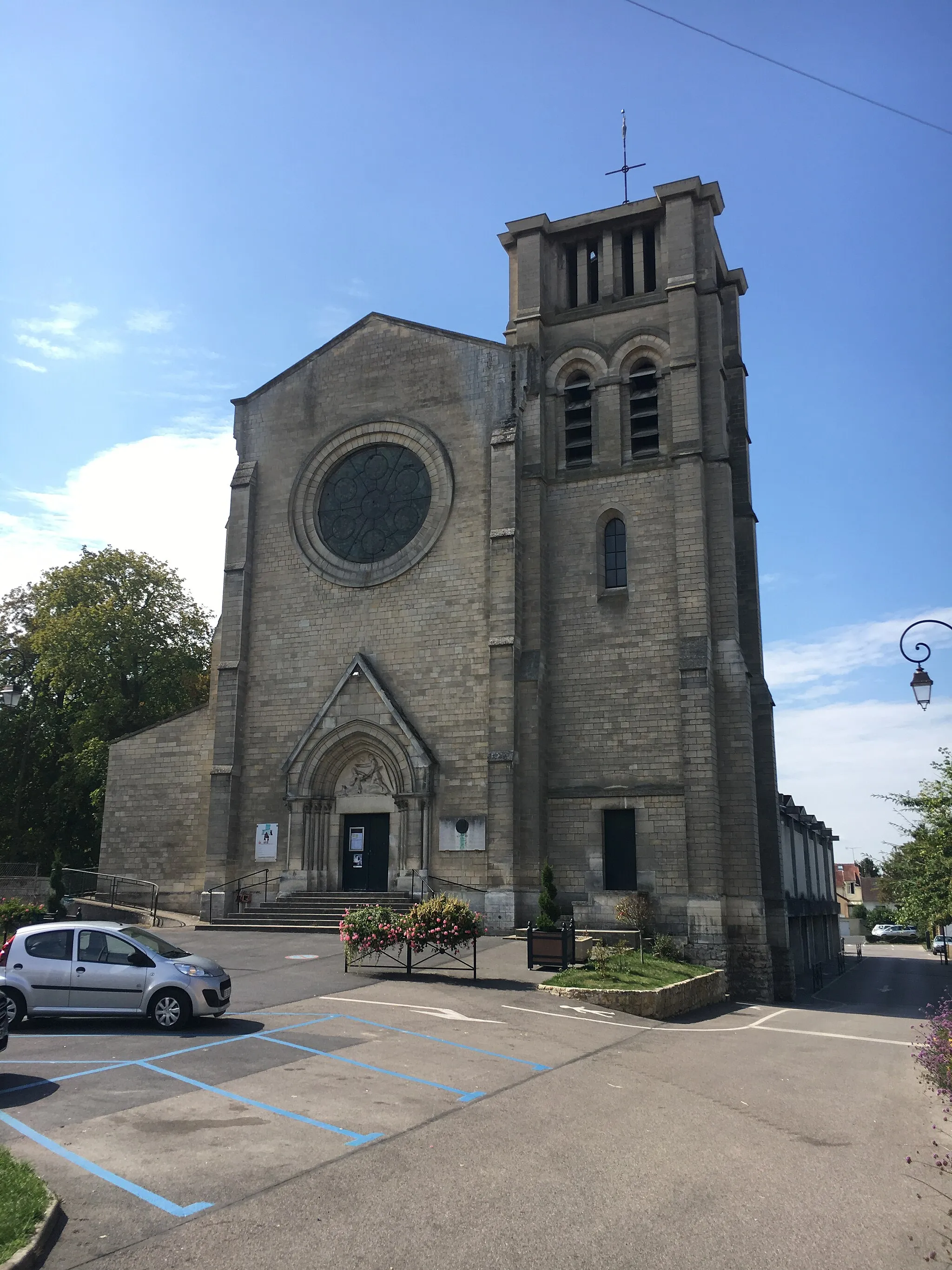
Longueil-AnnelVillageLongueil-Annel is a charming village situated on the banks of the Oise River. Take your time to explore its quaint streets, enjoy the riverside scenery, and immerse yourself in the peaceful ambiance.
5 km
5 km
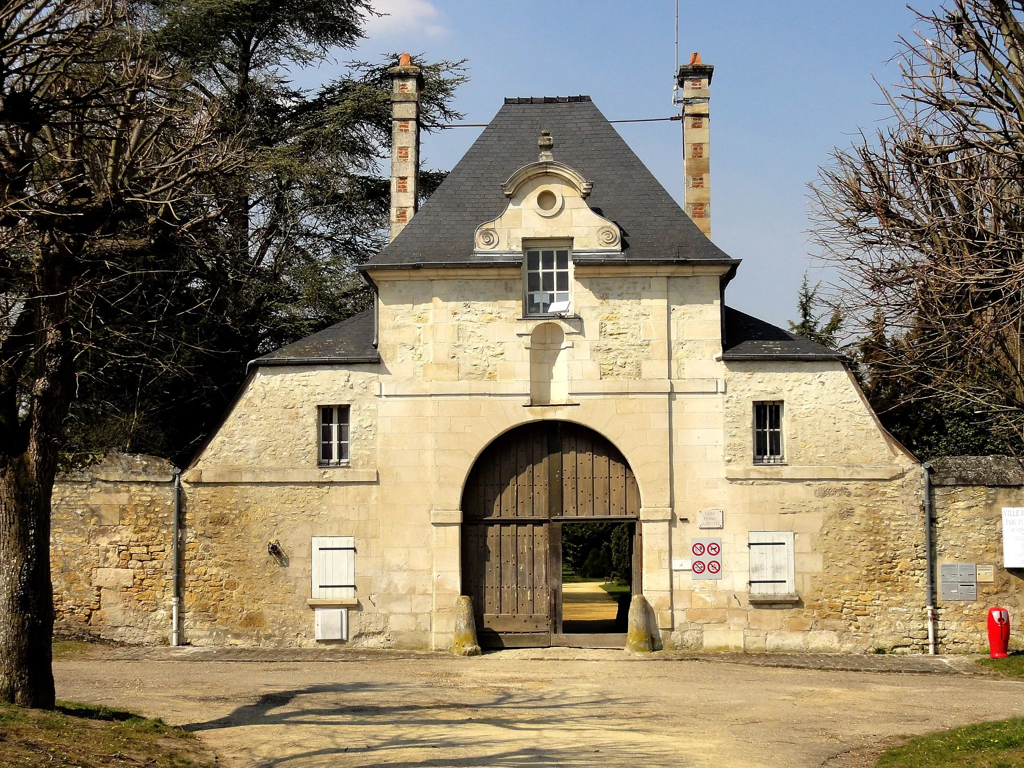
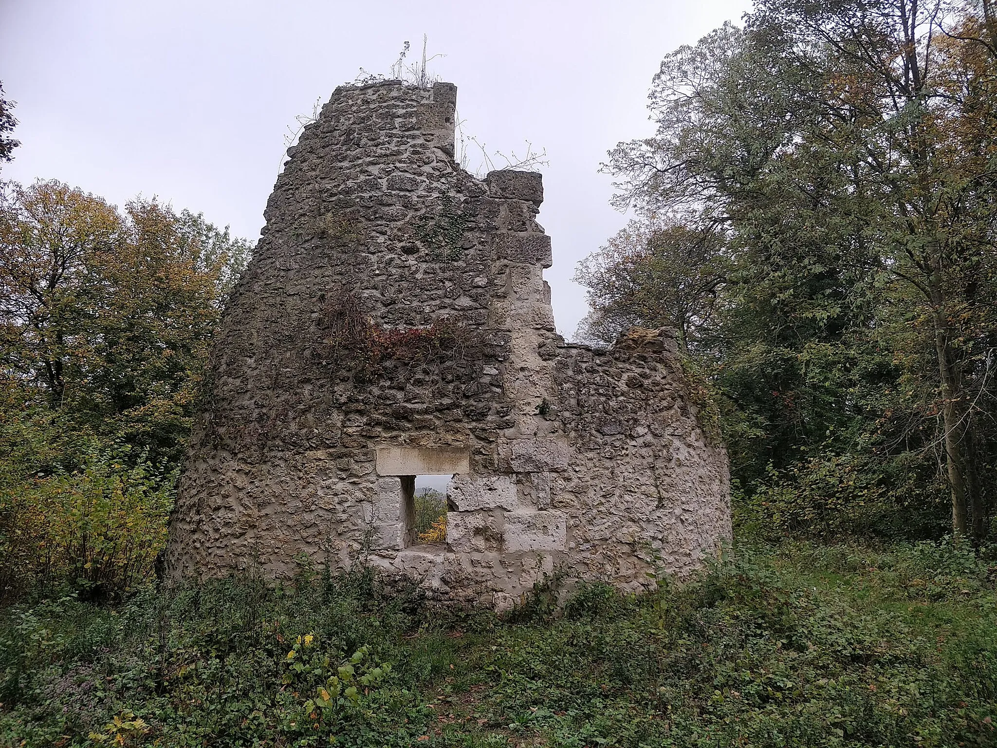
Lieu dit "Camp de César" ou "Fort du Ganelon"149 mPeak'Camp de César' or 'Fort du Ganelon' is a fascinating historical site that offers a glimpse into the area's Roman past. Discover the remains of the ancient fortifications and imagine the stories they hold.
20 km
20 km
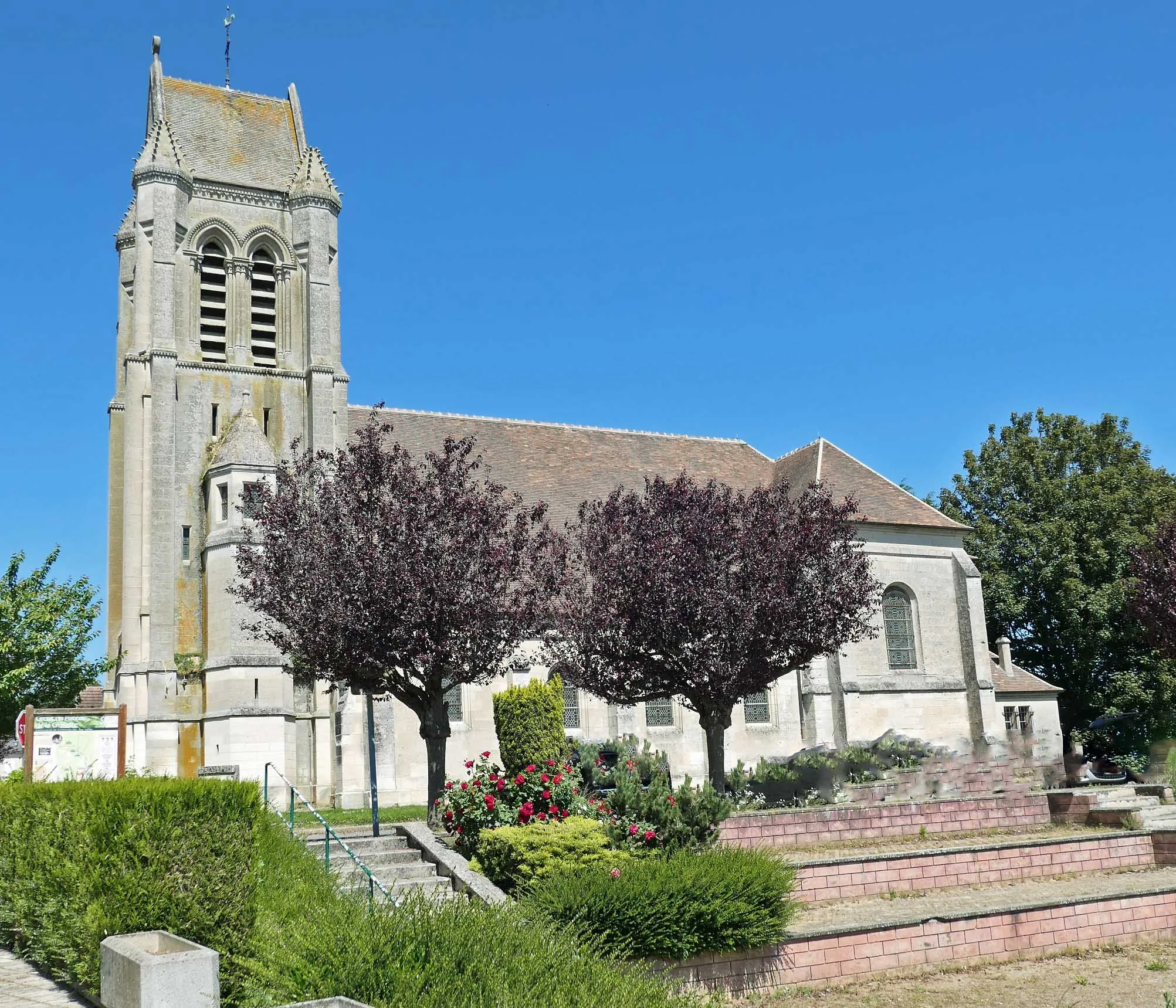
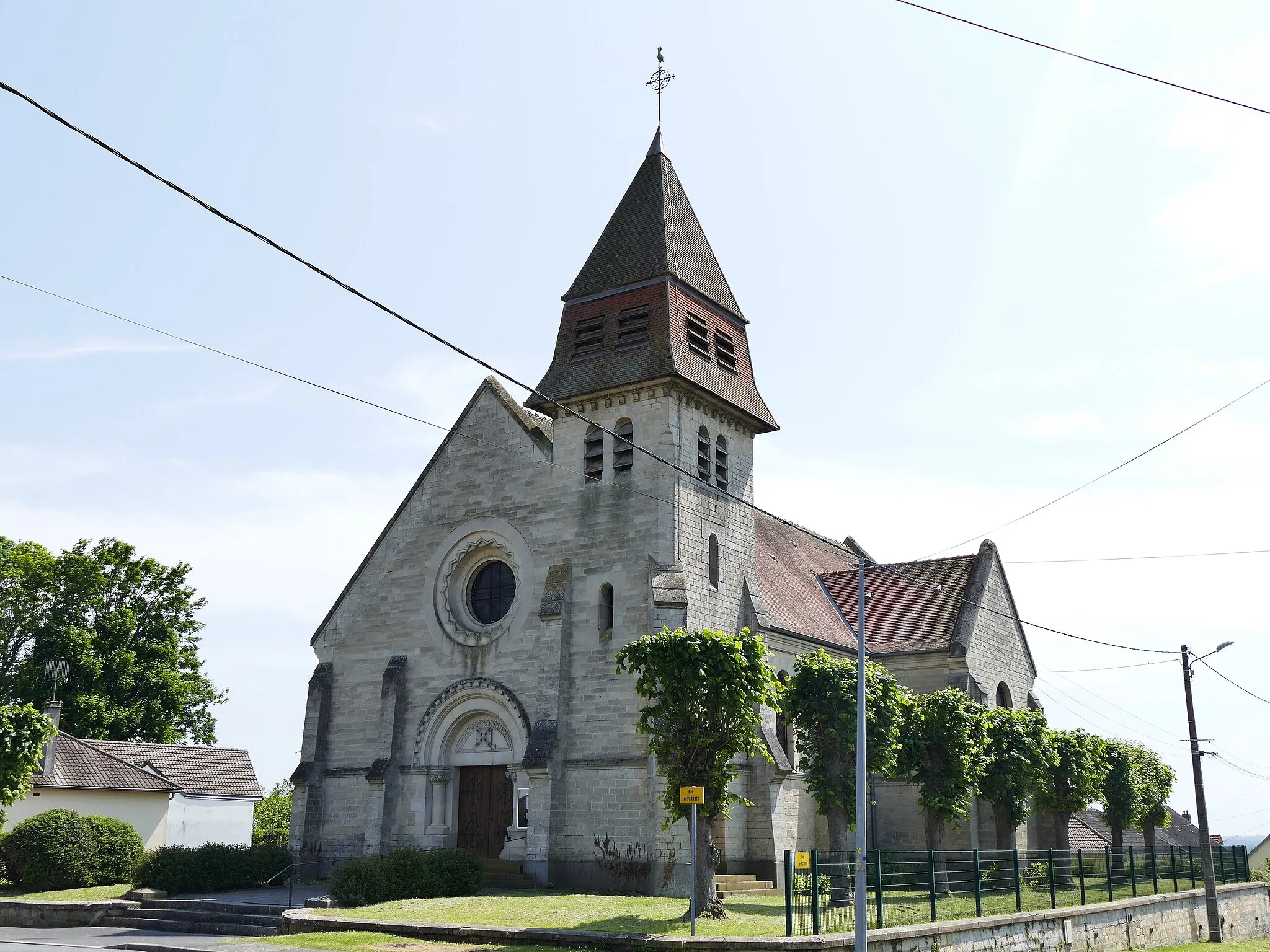
Neufvy-sur-ArondeVillageNeufvy-sur-Aronde is a hidden gem known for the beauty of its architecture and picturesque setting. By stopping here, you'll have the chance to appreciate this charming village from up close.
23 km
23 km
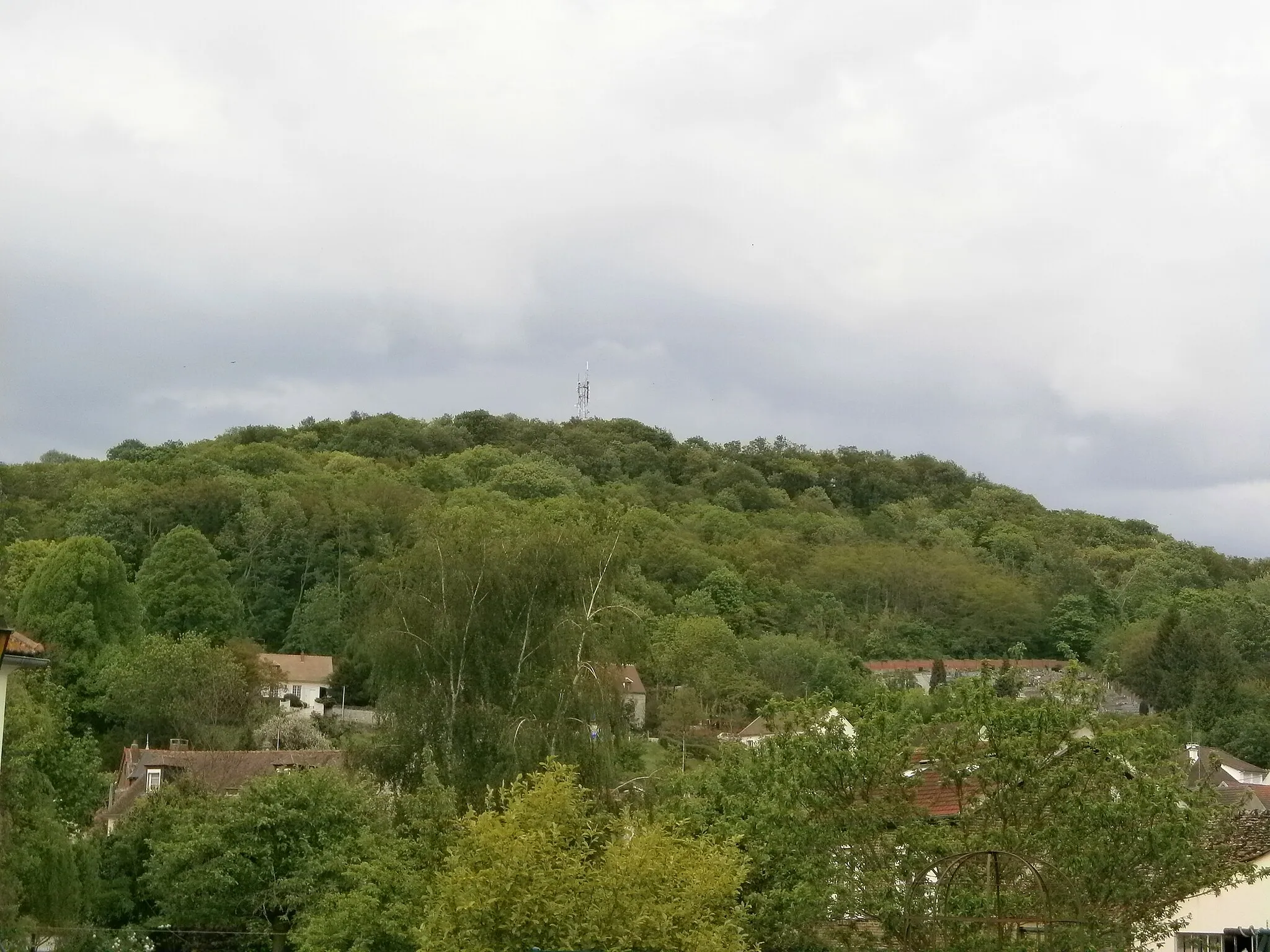
Montagne de la Somme d'Or98 mPeakMontagne de la Somme d'Or presents a challenging climb for cyclists seeking an extra push. Once conquered, the stunning panoramic views at the top will make it all worth it.
32 km
32 km
Ressons-sur-MatzVillageRessons-sur-Matz is a traditional village that will take you on a journey through time. Immerse yourself in the atmosphere of a bygone era and enjoy the tranquil surroundings of this unique destination.
40 km
40 km
Montagne du Hazoir167 mPeakMontagne du Hazoir offers a chance to enjoy panoramic views of Picardie's rolling hills and delightful countryside. Take a moment to savor the beauty surrounding you before continuing your cycling adventure.
51 km
51 km
ThourotteVillageThourotte serves as the starting and ending point of this scenic route. Situated along the Oise River, this charming town provides a peaceful setting for cyclists to begin their explorations.
51 km
51 km
Finish: Thourotte Village centerThourotte: Leisurely Cycling Along the Oise River
Cycling routes nearby: