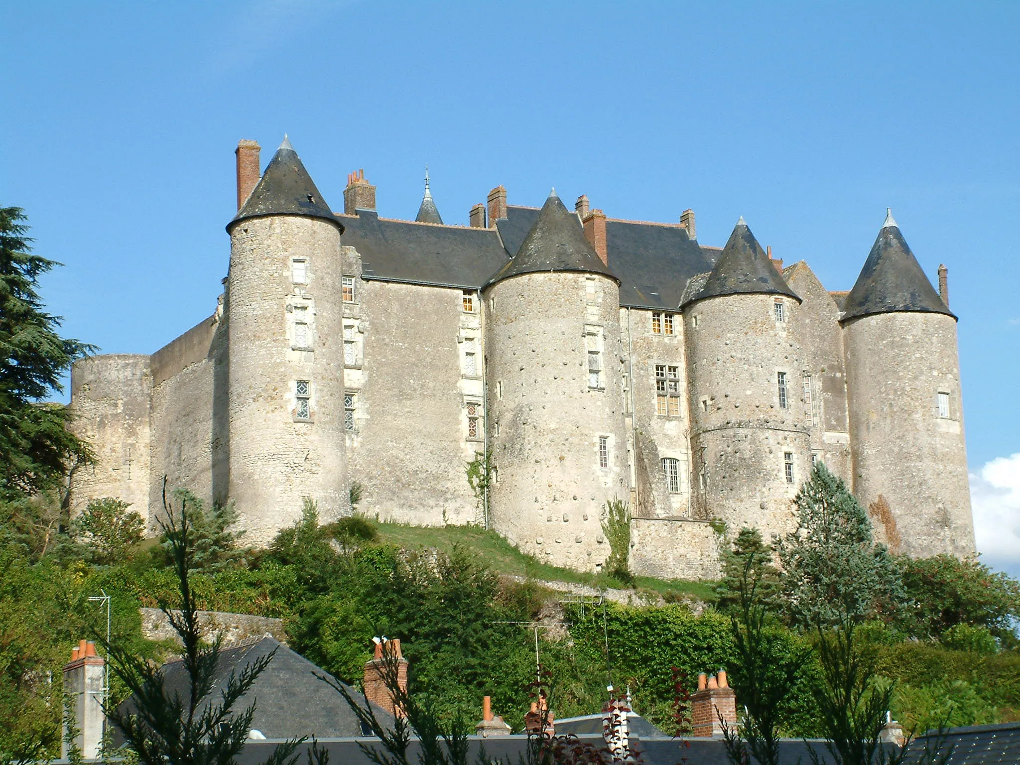
Cycling-friendly locality in Poitou-Charentes, France
Cycling routes from Montguyon
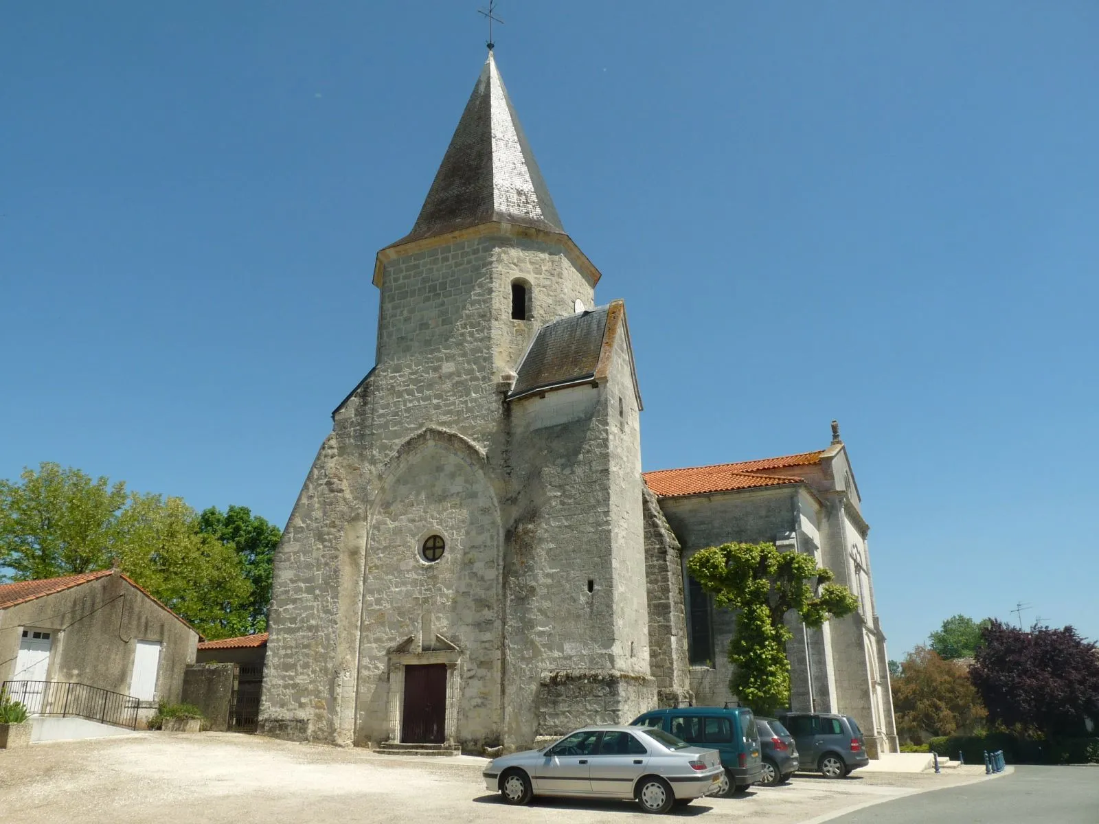
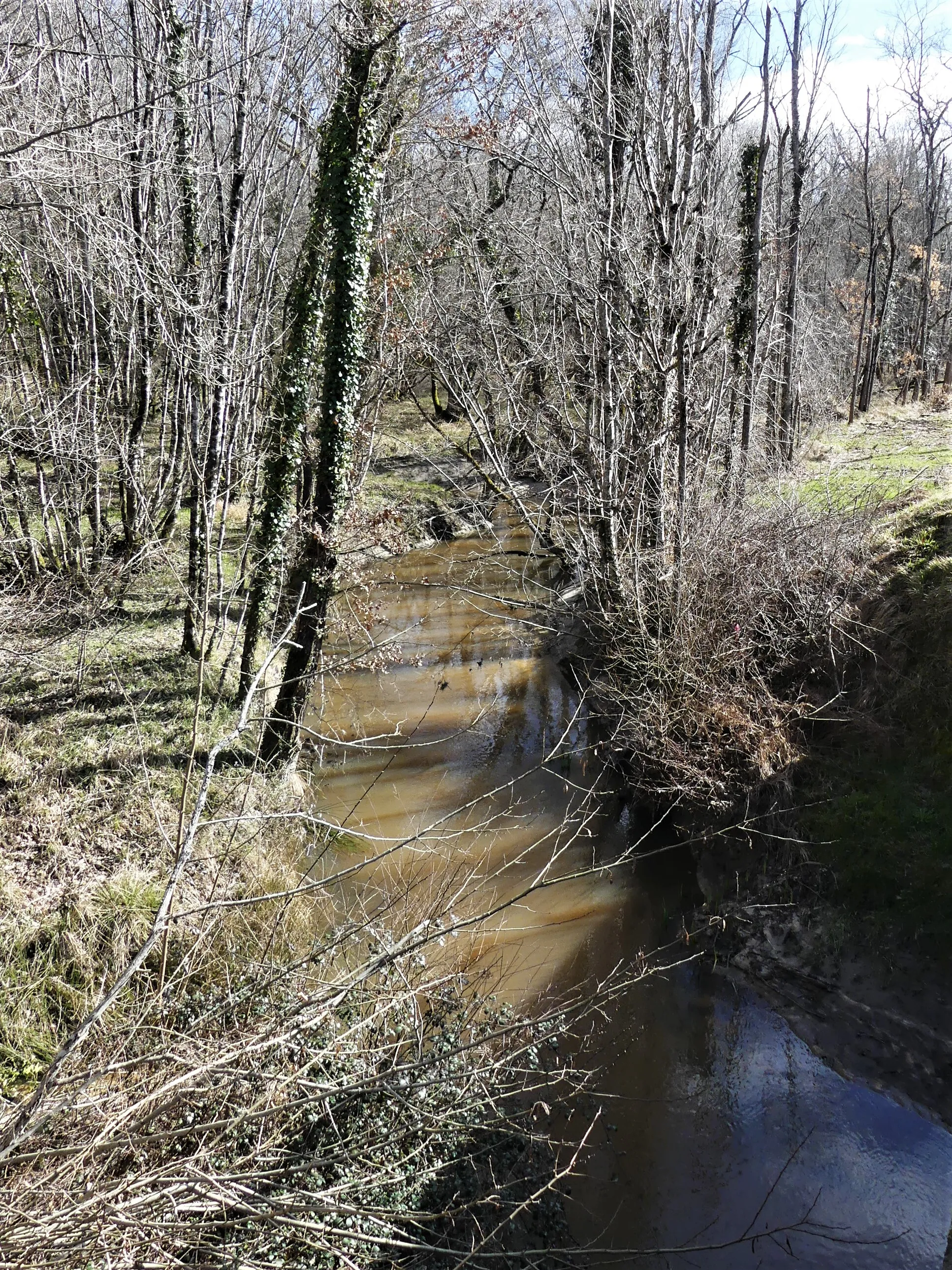
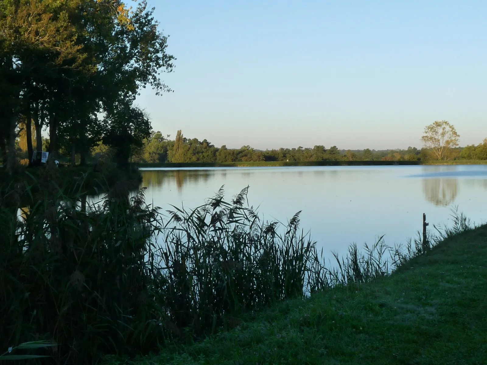
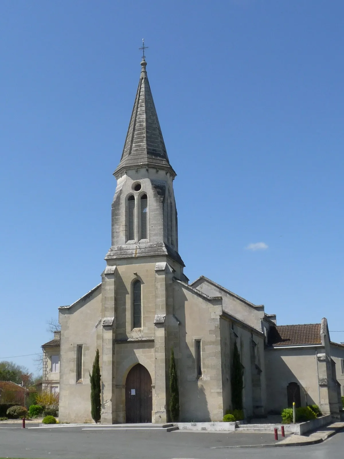
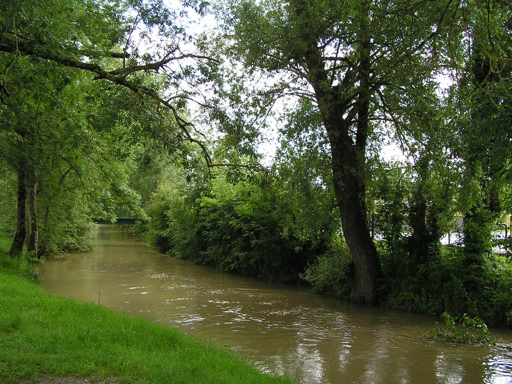
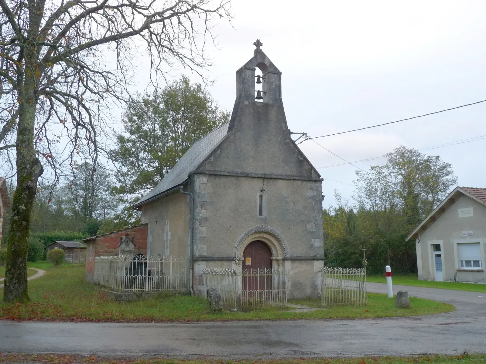
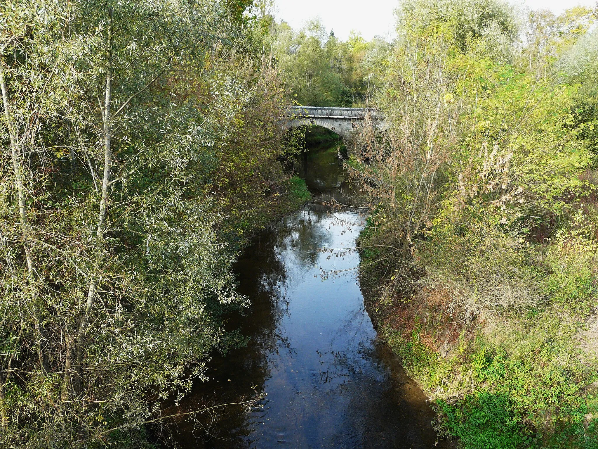
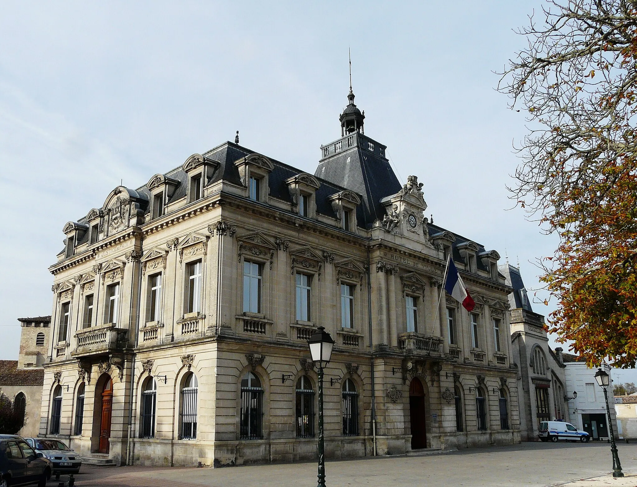
Montguyon in Poitou-Charentes, France is a suitable locality for cyclists. The roads in the area are well-maintained and offer pleasant cycling routes. The region is known for its vineyards and rolling hills, providing cyclists with scenic landscapes to enjoy. One of the well-known climbs nearby is the Montguyon, which offers a moderate ascent and rewarding views at the top. Cyclists will also find bike-friendly facilities in the locality, making it a convenient base for exploring the region.
A scenic road route featuring Chantillac and Saint-Palais-de-Négrignac
Embark on a thrilling adventure through the charming villages of Chantillac and Saint-Palais-de-Négrignac with this road cycling route near Montguyon. Covering a distance of 76 kilometers and featuring an ascent of 537 meters, this route offers a mix of challenging climbs and breathtaking scenery. Immerse yourself in the beauty of the Poitou-Charentes region as you pedal through the idyllic countryside.
An epic road route featuring highlights such as Oriolles and Poullignac
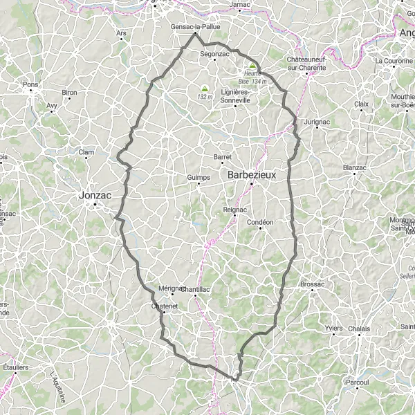
Experience the beauty of the Poitou-Charentes region with this road cycling route passing through Oriolles and Poullignac. Covering a distance of 77 kilometers and an ascent of 710 meters, this challenging route is perfect for experienced cyclists. Enjoy the rolling hills and stunning countryside views as you pedal through the picturesque villages.
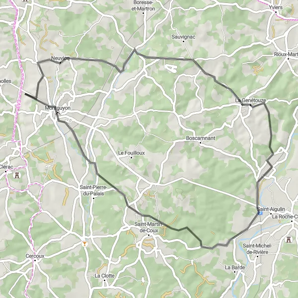
Embark on a scenic cycling journey through Orignolles and its surroundings
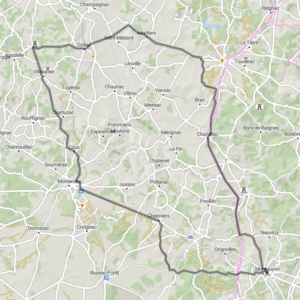
This road cycling route near Montguyon takes cyclists through the breathtaking landscapes surrounding Orignolles. With a distance of 132 kilometers and an ascent of 950 meters, this route offers intermediate to advanced level cyclists a challenging and rewarding adventure. Highlights along the way include the village of Chaunac, the impressive Réaux, and the picturesque Angeac-Champagne. Cyclists can also explore the historical sites of Malaville and Château de Chillac. This route is recommended for cyclists seeking a memorable and fulfilling cycling experience in the Poitou-Charentes region.

Discover the hidden gems near Montguyon on this cycling route
If you're looking for a cycling route that combines scenic views with cultural highlights, this road cycling route near Montguyon is perfect for you. With a total distance of 84 kilometers and an ascent of 471 meters, this route offers a pleasant challenge suitable for well-trained amateur cyclists. Highlights along the way include the village of Bedenac, the charming Saint-Yzan-de-Soudiac, and the picturesque town of Étauliers. Cyclists can also visit La Maison du Kaolin, an attraction that provides insights into the local kaolin industry. Overall, this route offers a rewarding cycling experience immersed in the beauty of the Poitou-Charentes region.
Revignac Road Cycling Route
Embark on an exciting cycling adventure near Montguyon
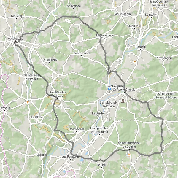
This road cycling route near Montguyon offers a thrilling adventure for cyclists of all levels. With a distance of 74 kilometers and an ascent of 646 meters, it provides a challenging yet rewarding experience. Highlights of this route include the village of Revignac, the scenic La Roche-Chalais, and the quaint Saint-Christophe-de-Double. Cyclists can also visit the La Maison du Kaolin, a unique attraction showcasing the history of kaolin mining in the region. Overall, this route is suitable for well-trained amateur cyclists looking for an exhilarating ride surrounded by beautiful landscapes.
A scenic road route with highlights including the charming towns of Neuvicq and Saint-Aigulin
This road cycling route near Montguyon takes you on a picturesque journey through the beautiful towns of Neuvicq and Saint-Aigulin. With a total distance of 51 kilometers and an ascent of 527 meters, this route is suitable for well-trained amateurs. The route offers stunning views of the surrounding countryside and allows you to immerse yourself in the local culture and architecture.
Martron Road Cycling Route
Experience an unforgettable ride through the scenic countryside near Montguyon
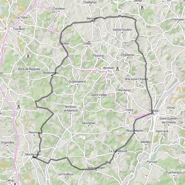
This road cycling route near Montguyon is a perfect option for cyclists who enjoy challenging climbs and picturesque views. With a total distance of 87 kilometers and an ascent of 955 meters, this route offers a good mix of endurance and excitement. The highlights along the way include the remnants of an aqueduct at Martron, the charming village of Bors-de-Montmoreau, and the beautiful town of Bazac. This route caters to well-trained amateur cyclists seeking a moderately difficult but rewarding cycling experience.
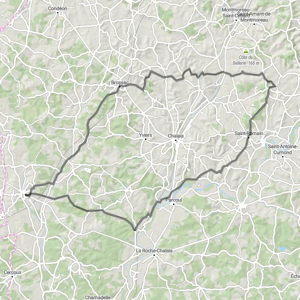
Discover the beauty of Boresse-et-Martron and Yviers on this road cycling route
Experience the charm of the Poitou-Charentes region with this road cycling route passing through Boresse-et-Martron and Yviers. Covering a distance of 52 kilometers and featuring an ascent of 536 meters, this route offers a mix of challenging climbs and scenic countryside views. Discover the rich history and culture of the region as you explore the picturesque villages.
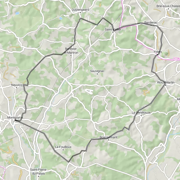
Guizengeard and Yviers Adventure

Embark on an exciting road journey through Guizengeard and Yviers
Take on the challenge of cycling through the picturesque villages of Guizengeard and Yviers with this road route near Montguyon. Spanning a distance of 56 kilometers and featuring an ascent of 667 meters, this route offers a mix of rolling hills and scenic countryside. Immerse yourself in the local culture and enjoy the tranquility of the rural surroundings.
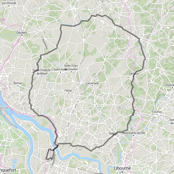
Experience the beauty of Cercoux and its surrounding areas on this cycling route
This road cycling route near Montguyon takes cyclists through the mesmerizing landscapes of Cercoux and its surroundings. With a distance of 130 kilometers and an ascent of 864 meters, this route provides an exhilarating challenge for well-trained amateur cyclists. Highlights along the way include the panoramic viewpoint of Cercoux, the historic town of Galgon, and the exquisite Observatoire de Montalon. Cyclists can also explore the picturesque village of Teuillac and the scenic Donnezac. Overall, this route offers a glimpse into the enchanting beauty of the region and promises an unforgettable cycling experience.
Cycling routes nearby:

Nearby regions: