Leisurely Cycling in the Poitou-Charentes
Cycling routes from Saint-Aigulin
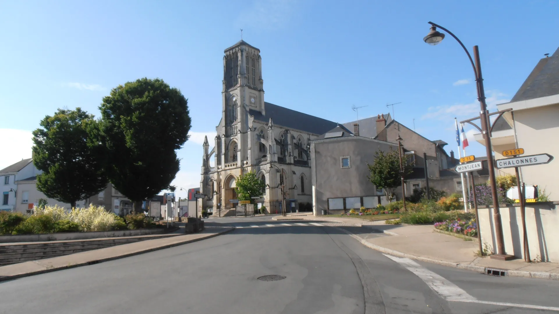
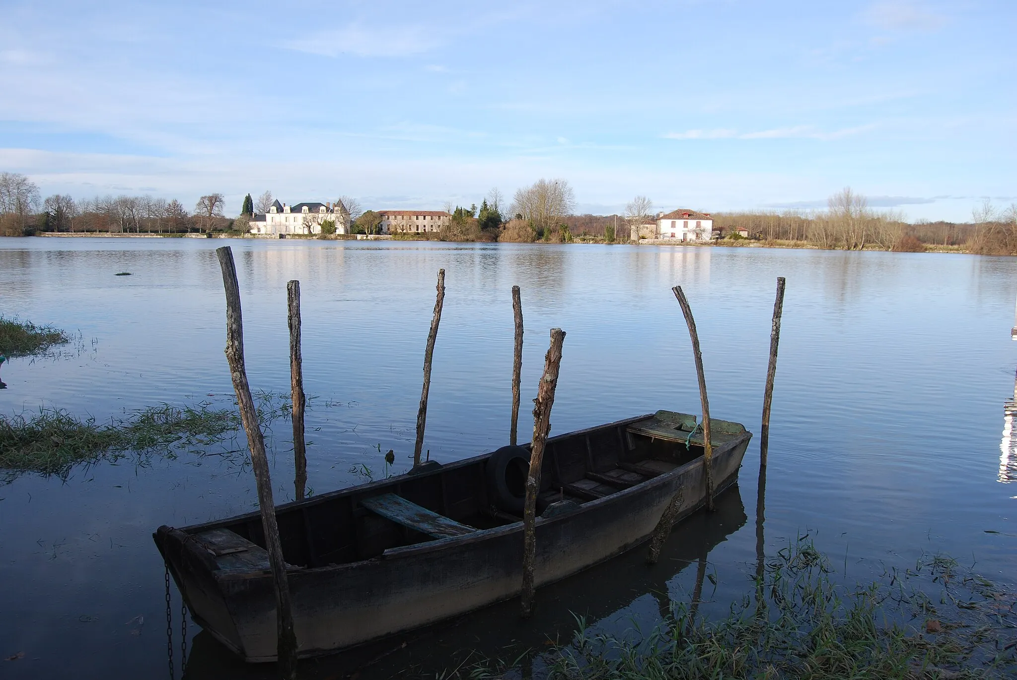
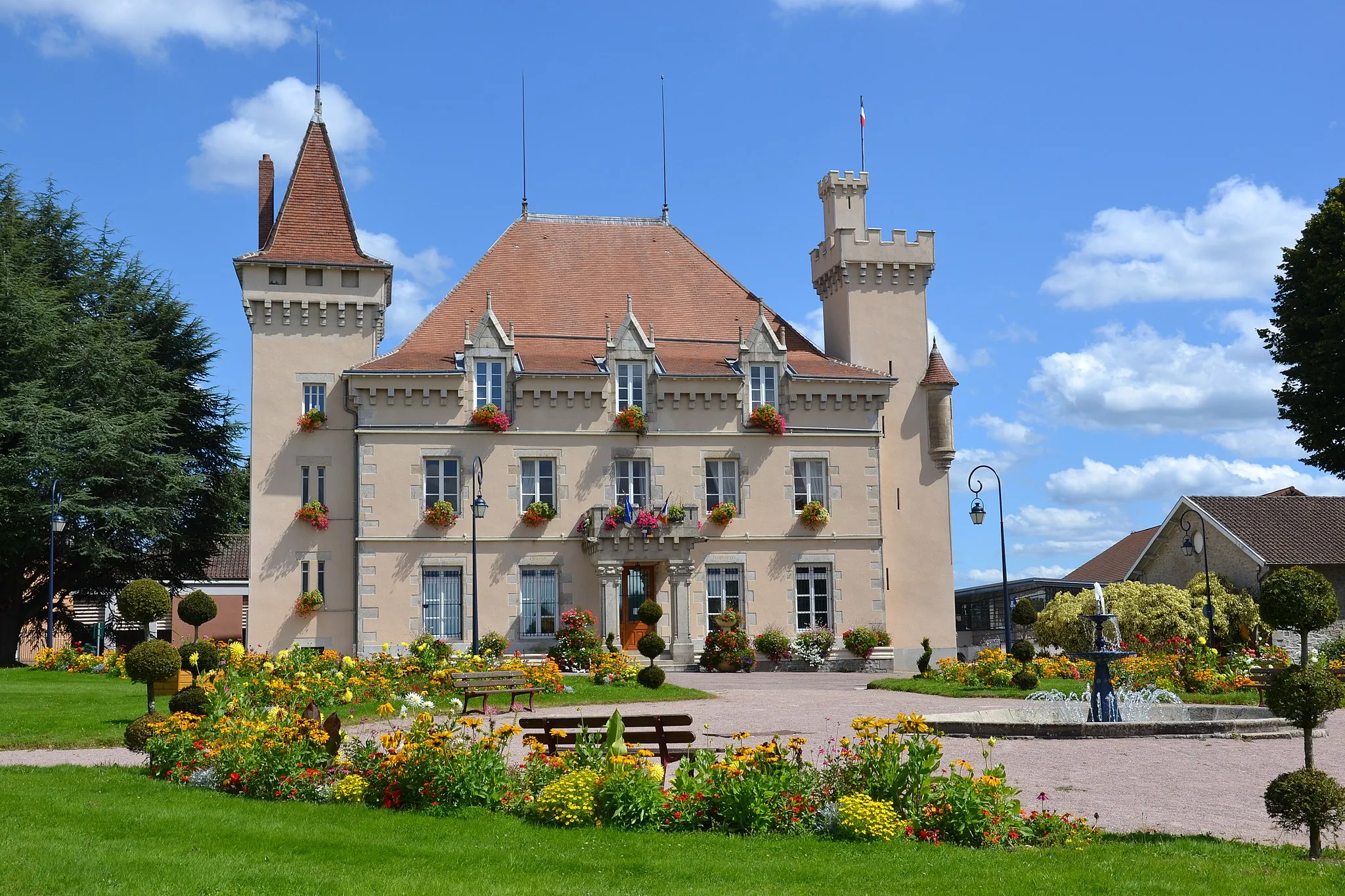
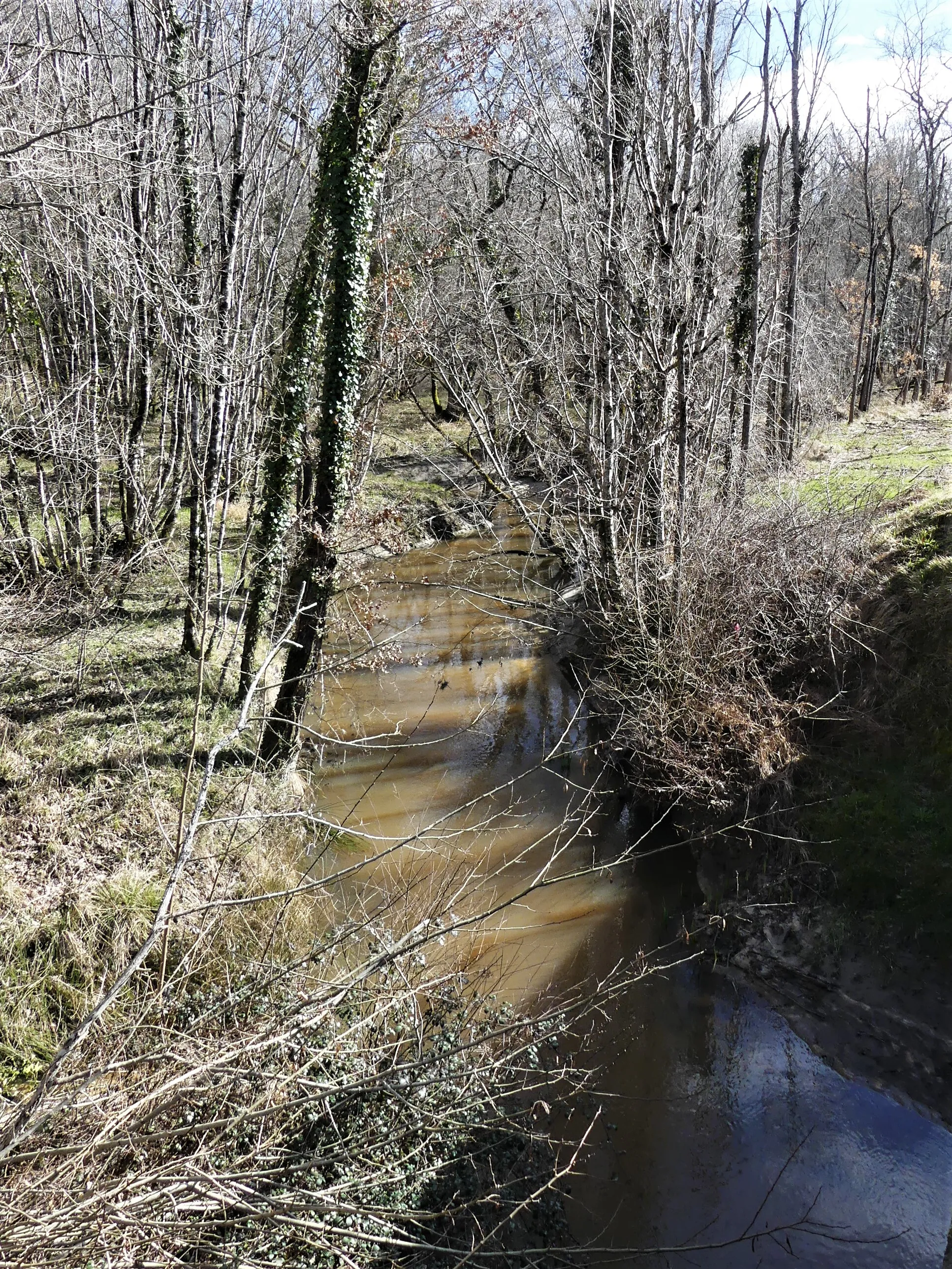
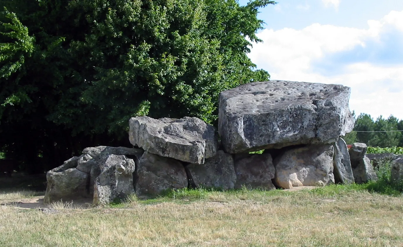
Saint-Aigulin, located in the Poitou-Charentes region of France, offers pleasant cycling opportunities for both road and gravel cyclists. The area features flat and rolling countryside, with quiet roads perfect for leisurely cycling. Road cyclists can explore the nearby Dordogne River and its charming villages, while gravel cyclists can enjoy the off-road trails in the Franches-Montagnes forest. Although there are no famous cycling spots or climbs in the immediate vicinity, Saint-Aigulin offers a peaceful and scenic backdrop for cyclists.
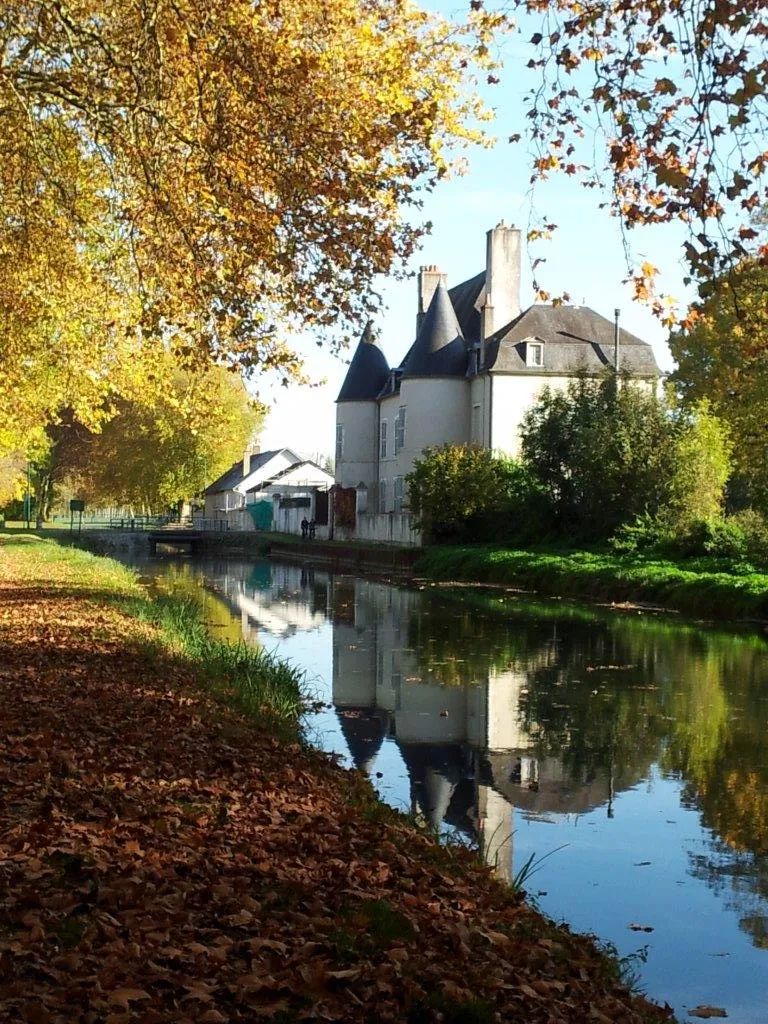
Rural Scenery near Saint-Aigulin
Immerse yourself in the stunning rural scenery near Saint-Aigulin on this road cycling route
This route allows you to explore the beautiful countryside surrounding Saint-Aigulin and admire its picturesque landscapes. You will ride through charming villages, rolling farmland, and peaceful valleys, making it a relaxing and enjoyable cycling experience. The route has a moderate level of difficulty, with a total ascent of 844 meters over a distance of 75 kilometers. It is suitable for cyclists with an average level of fitness.
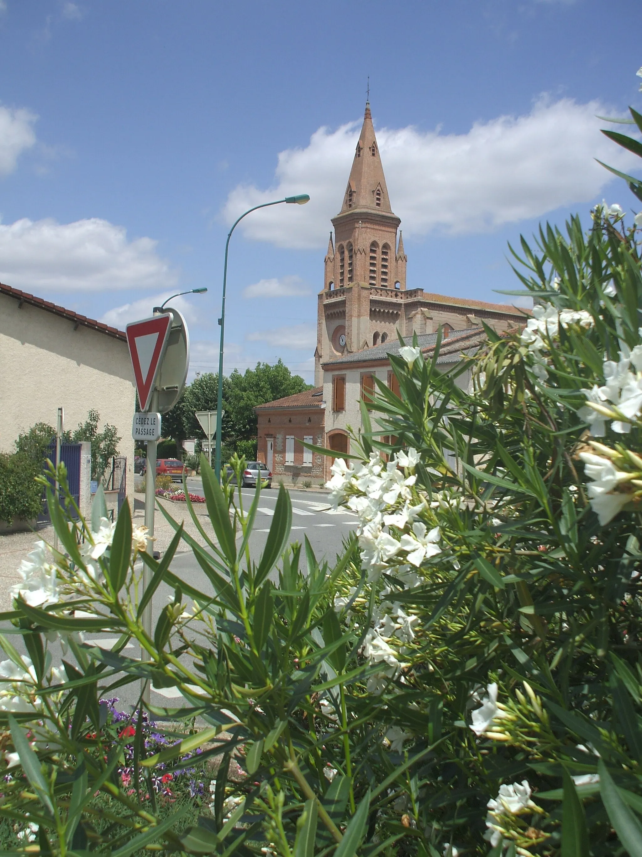
Explore the scenic countryside around Chamadelle on this refreshing route
This refreshing cycling route takes you through the beautiful countryside near Chamadelle. With a moderate difficulty level, it is suitable for leisurely rides while enjoying the peaceful surroundings. The route covers a distance of 71 km and includes an ascent of 521 meters.
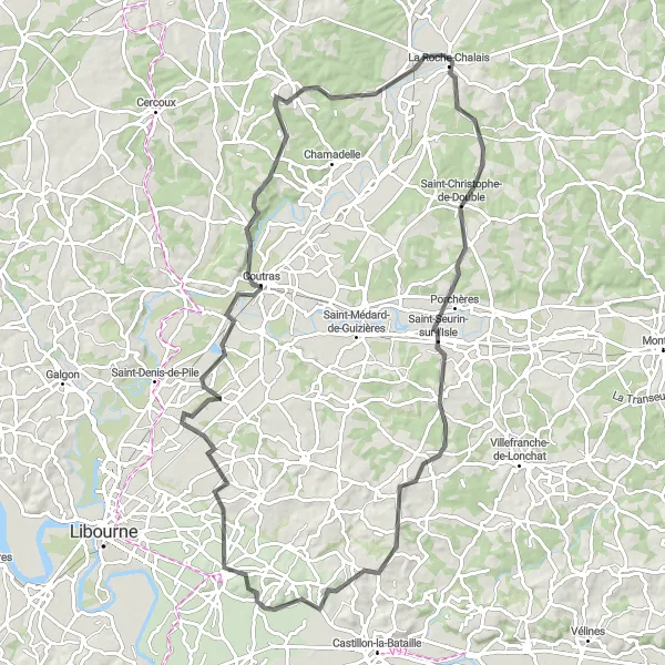
Rural Charm of Saint-Aigulin
Discover the charming rural landscapes surrounding Saint-Aigulin on this road cycling route
This route takes you through the picturesque countryside near Saint-Aigulin, allowing you to experience the authentic rural charm of the region. You will ride through idyllic villages, rolling farmland, and scenic valleys, making it an enjoyable and peaceful cycling experience. The route has a moderate level of difficulty, with a total ascent of 880 meters over a distance of 80 kilometers. It is suitable for cyclists with a decent level of fitness.
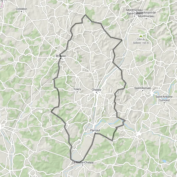
Pillac Hills
Cycle through the beautiful hills around Pillac on this challenging route
This demanding cycling route takes you on a challenging journey through the picturesque hills around Pillac. Suitable for experienced cyclists, it rewards with stunning hilltop views and a real sense of achievement. With a distance of 107 km and an elevation gain of 1022 meters, this route is not for the faint-hearted.
Servanches Circuit
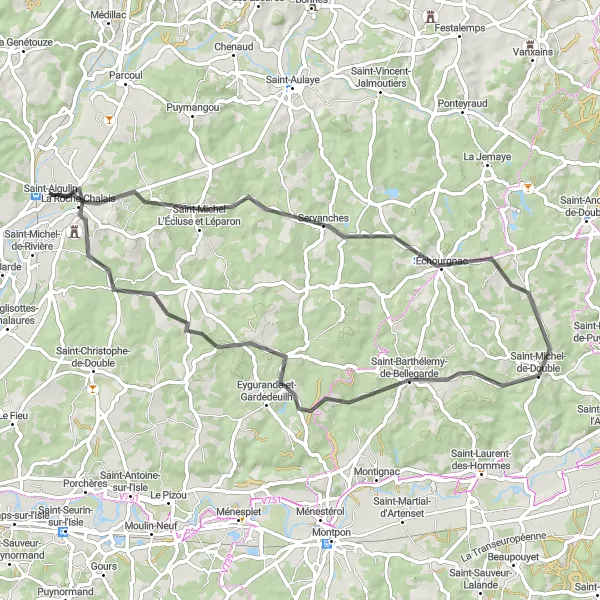
Explore the beautiful countryside around Servanches on this scenic route
This cycling route takes you through the picturesque countryside near Servanches. With a moderate difficulty level, it is suitable for experienced cyclists looking to enjoy the beautiful landscapes of Poitou-Charentes. The route covers a distance of 64 km and includes a total elevation gain of 570 meters.
Embark on a journey through the idyllic countryside near Saint-Aigulin on this road cycling route
This route allows you to immerse yourself in the peaceful and picturesque countryside surrounding Saint-Aigulin. You will ride through charming villages, lush vineyards, and beautiful valleys, experiencing the authentic rural charm of the region. The route is moderately challenging, with a total ascent of 651 meters over a distance of 94 kilometers. It is suitable for cyclists with a moderate level of fitness.
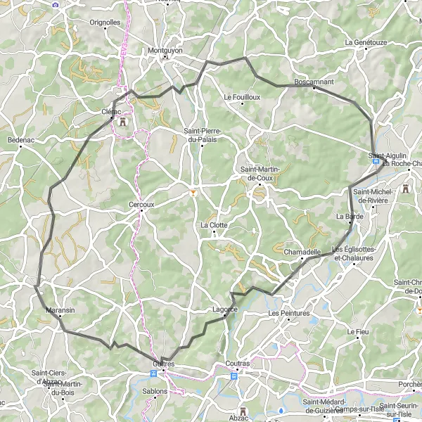
Saint-Aigulin Circuit
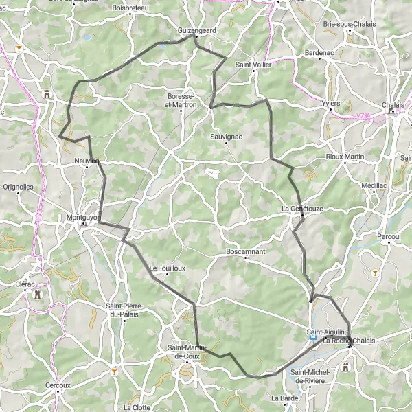
Ride through the scenic countryside from Saint-Aigulin
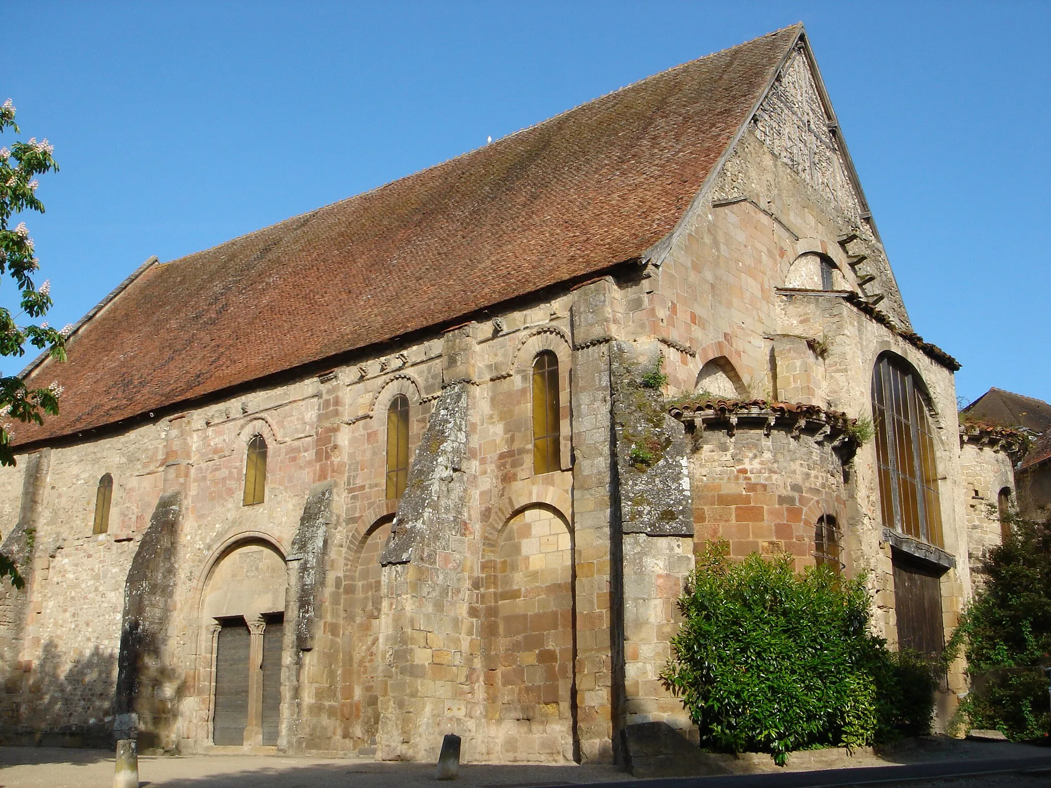
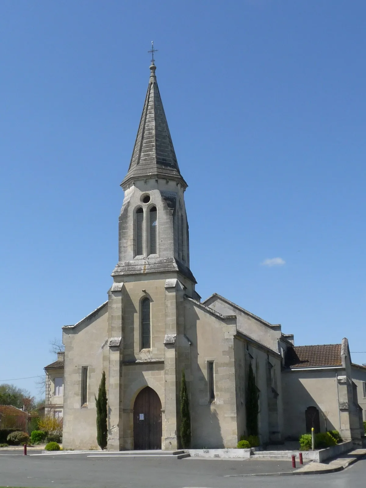
The Saint-Aigulin Circuit is a picturesque round-trip cycling route that takes you through the beautiful countryside near Saint-Aigulin. With a distance of 69 km and an elevation gain of 674 meters, this road route offers a moderate challenge for well-trained amateur cyclists. Along the way, you'll encounter some highlight spots including the quaint village of Le Fouilloux, the charming town of Neuvicq, and the historic village of Guizengeard. These highlights provide opportunities to soak in the local culture and take a break from your ride. The overall difficulty level of this route is rated as 3, making it suitable for cyclists with intermediate riding skills. The epicness of this route is rated as 3, offering a mix of scenic landscapes and cultural gems. Overall, the Saint-Aigulin Circuit is a great choice for cyclists looking to explore the tranquil beauty of the Poitou-Charentes region of France.
La Barde Loop
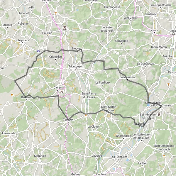
A picturesque loop through the countryside around La Barde
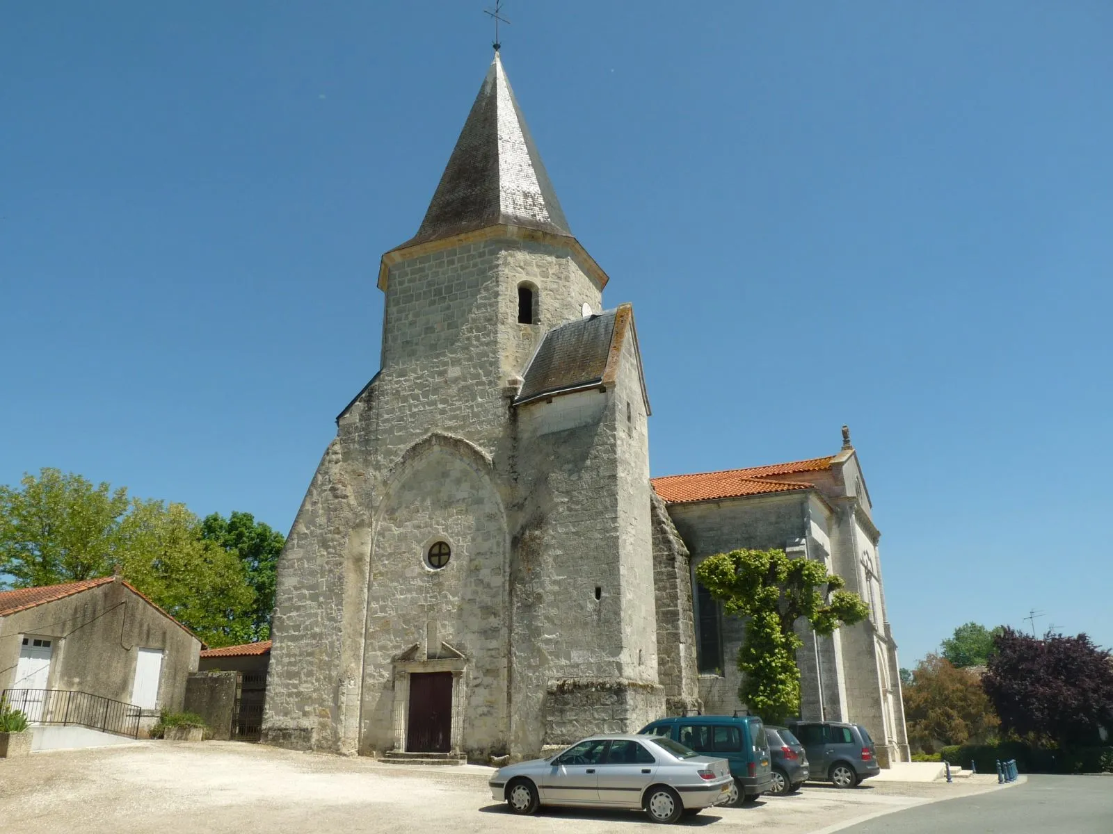
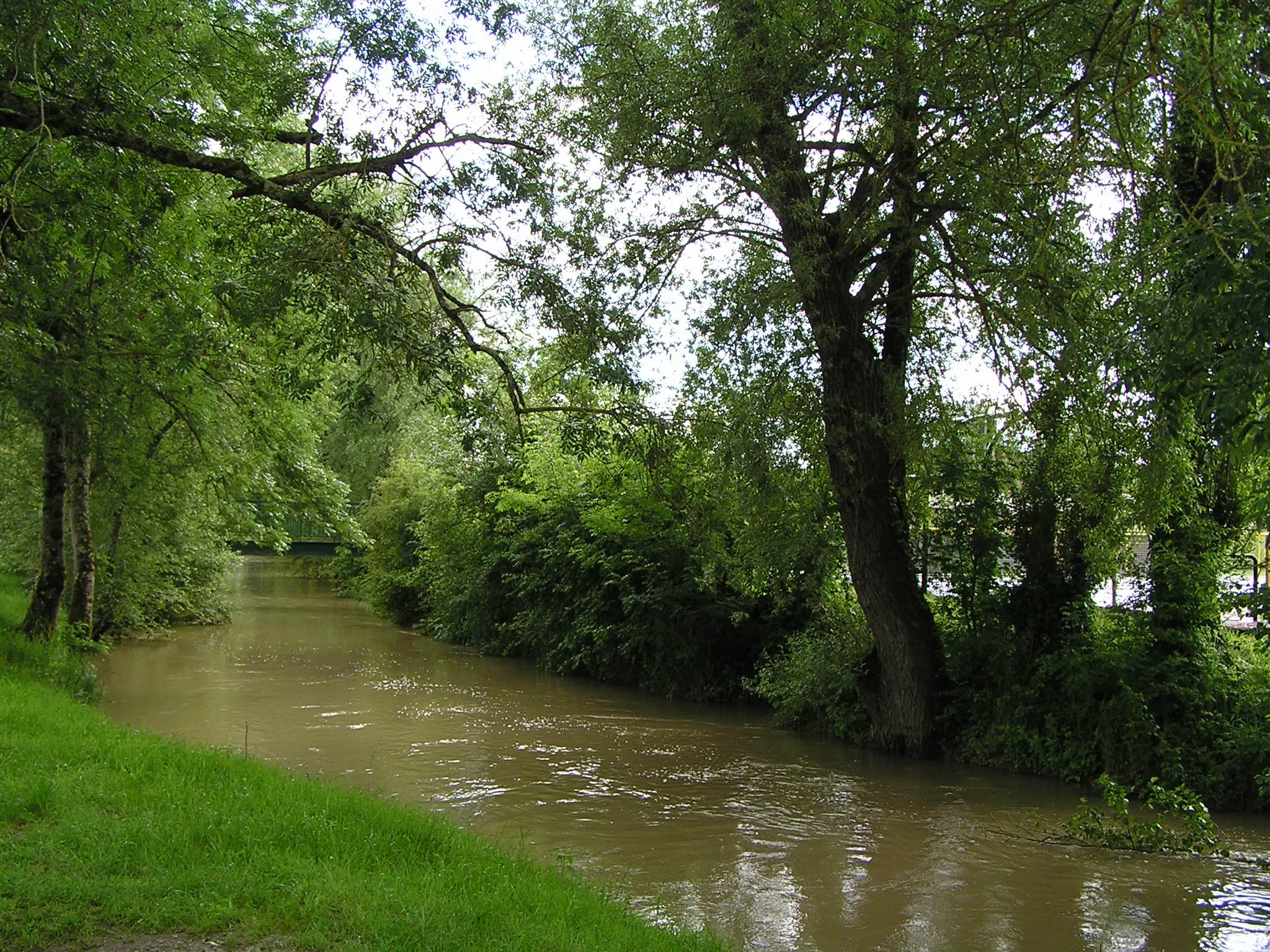
This route takes you on a scenic journey through the idyllic countryside near Saint-Aigulin. With a moderate difficulty level, it is suitable for well-trained amateur cyclists. The route covers a distance of 78 km and includes a total elevation gain of 691 meters. Along the way, you'll pass through charming villages such as Cercoux, Bedenac, and Montlieu-la-Garde.
Experience the breathtaking landscapes near Saint-Aigulin on this road cycling route
This route offers stunning views of the picturesque countryside near Saint-Aigulin. You will ride through charming villages, rolling hills, and scenic vineyards, making it an unforgettable cycling experience. The route is moderately challenging with a total ascent of 951 meters over a distance of 91 kilometers. Cyclists of all levels can enjoy this beautiful route.
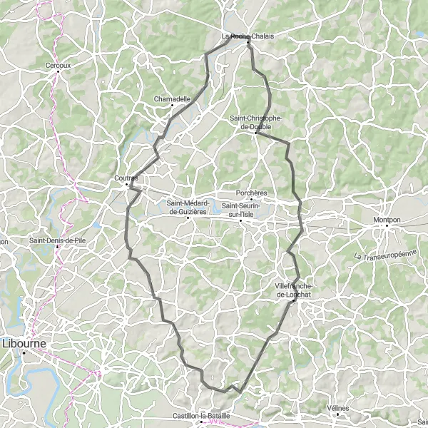
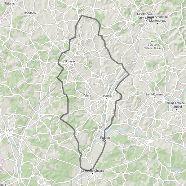
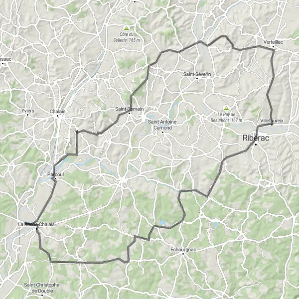
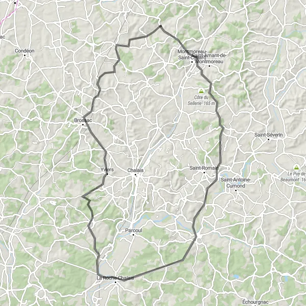
Embark on a journey through scenic landscapes around La Roche-Chalais
Experience the beauty of the Castillon region on this diverse cycling route. With a moderate difficulty level, it is suitable for cyclists of all levels who want to explore the stunning landscapes of Poitou-Charentes. The route covers a distance of 86 km and includes an ascent of 514 meters.
Cycling routes nearby:


Nearby regions: