La Barde Loop
A road cycling route starting from Saint-Aigulin
A picturesque loop through the countryside around La Barde
Map
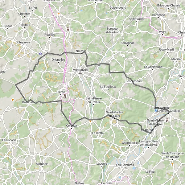
This route takes you on a scenic journey through the idyllic countryside near Saint-Aigulin. With a moderate difficulty level, it is suitable for well-trained amateur cyclists. The route covers a distance of 78 km and includes a total elevation gain of 691 meters. Along the way, you'll pass through charming villages such as Cercoux, Bedenac, and Montlieu-la-Garde.
road
78 km
691 m
Tough
Route profile
Highlights on the route
0 km
0 km
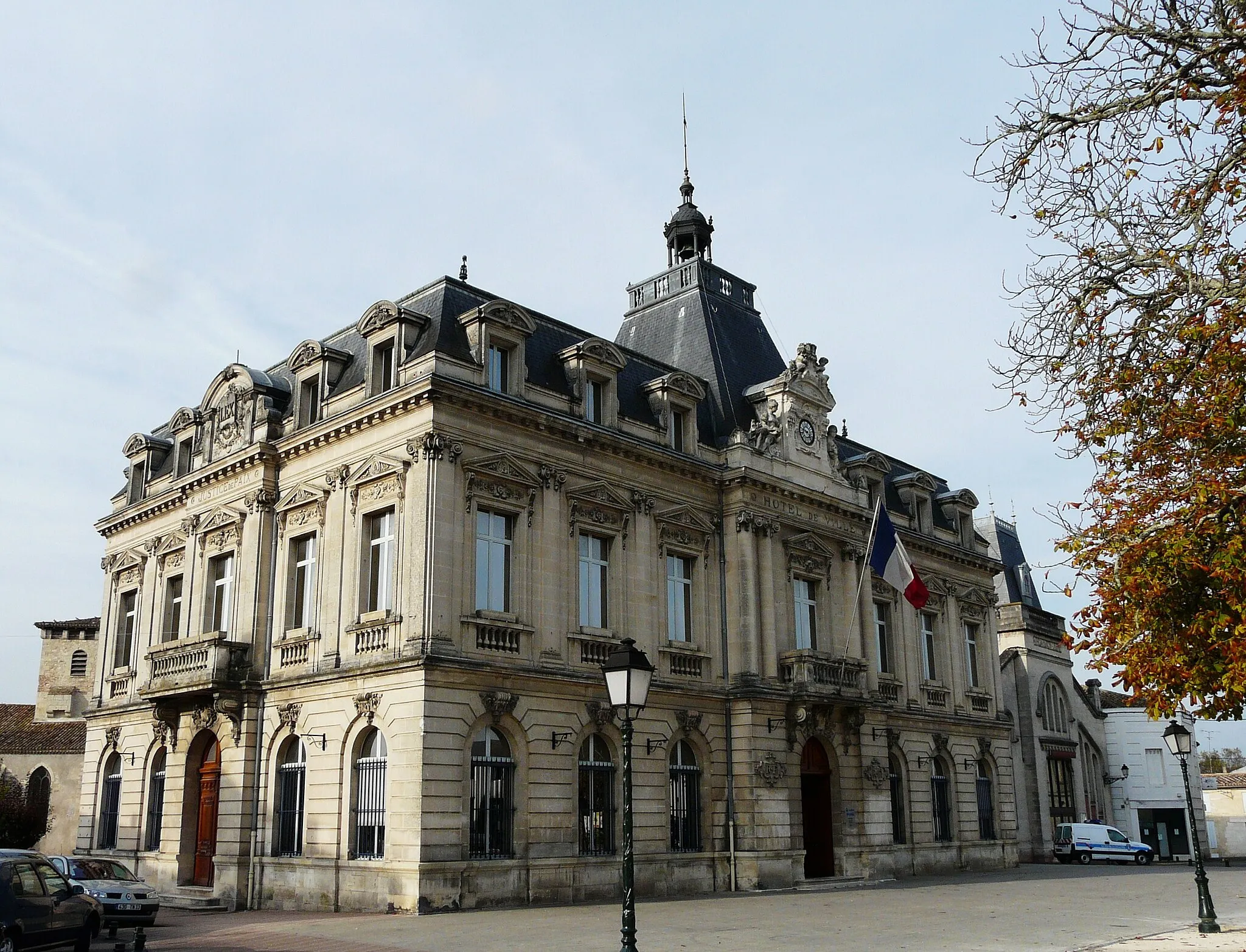
Start: La Roche-Chalais Village centerSaint-Aigulin: Leisurely Cycling in the Poitou-Charentes
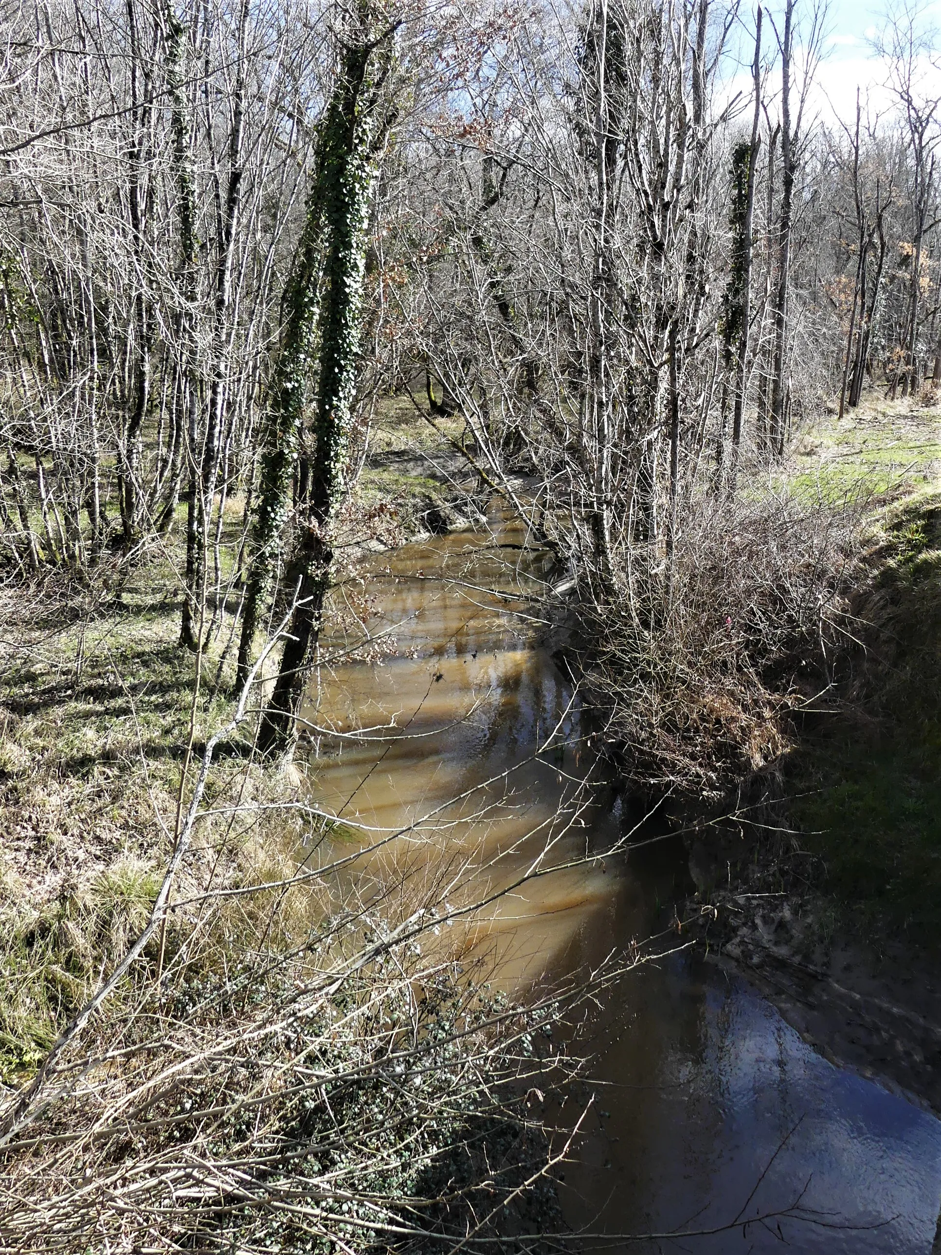
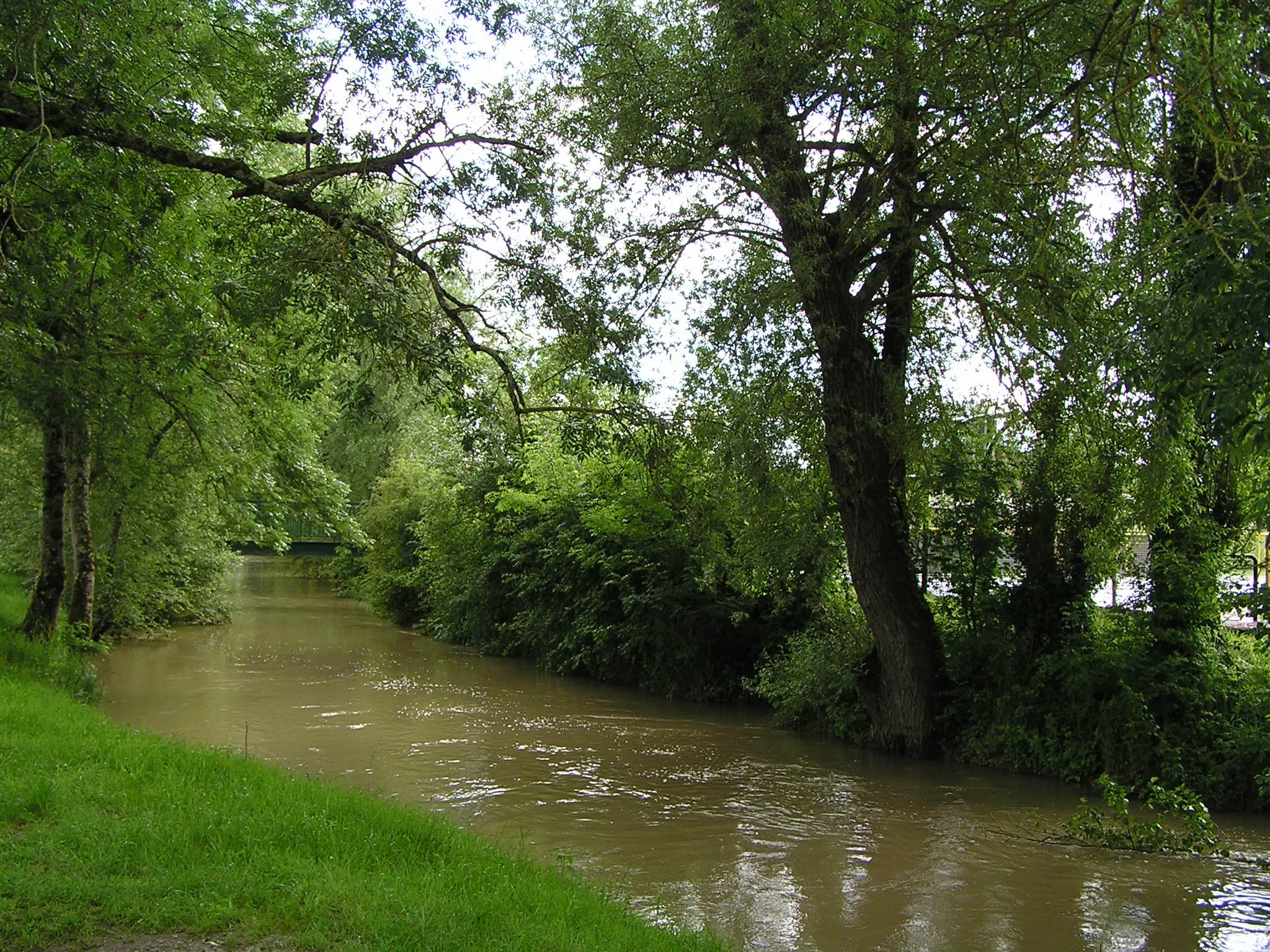
Saint-Aigulin, located in the Poitou-Charentes region of France, offers pleasant cycling opportunities for both road and gravel cyclists. The area features flat and rolling countryside, with quiet roads perfect for leisurely cycling. Road cyclists can explore the nearby Dordogne River and its charming villages, while gravel cyclists can enjoy the off-road trails in the Franches-Montagnes forest. Although there are no famous cycling spots or climbs in the immediate vicinity, Saint-Aigulin offers a peaceful and scenic backdrop for cyclists.6 km
6 km
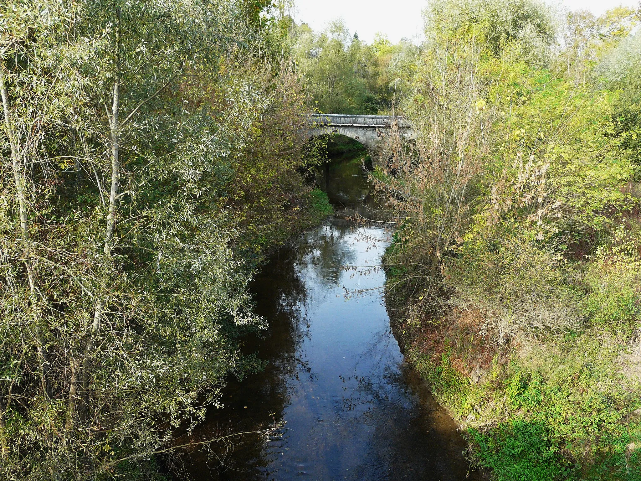
La BardeVillageAs you cycle through La Barde, take a moment to admire the picturesque landscape with its rolling hills and vineyards.
22 km
22 km
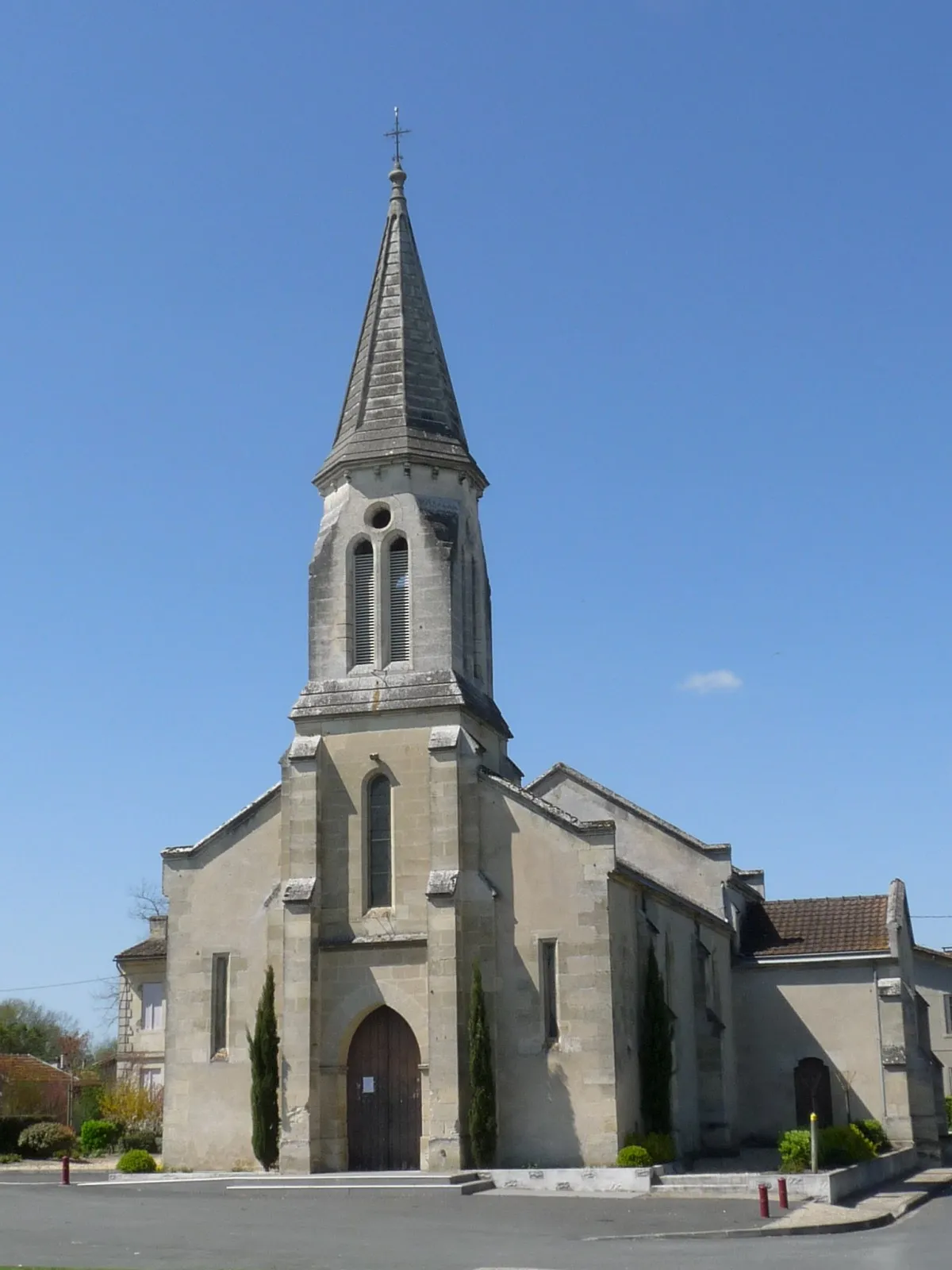
CercouxVillageIn Cercoux, make sure to stop and visit the Church of Saint-Pierre with its stunning stained glass windows.
34 km
34 km
BedenacVillageBedenac is known for its historic castle, Château de Bedenac, dating back to the 13th century.
47 km
47 km
Montlieu-la-GardeVillageMontlieu-la-Garde is home to the beautiful Church of Saint-Pierre, an architectural gem worth exploring.
68 km
68 km
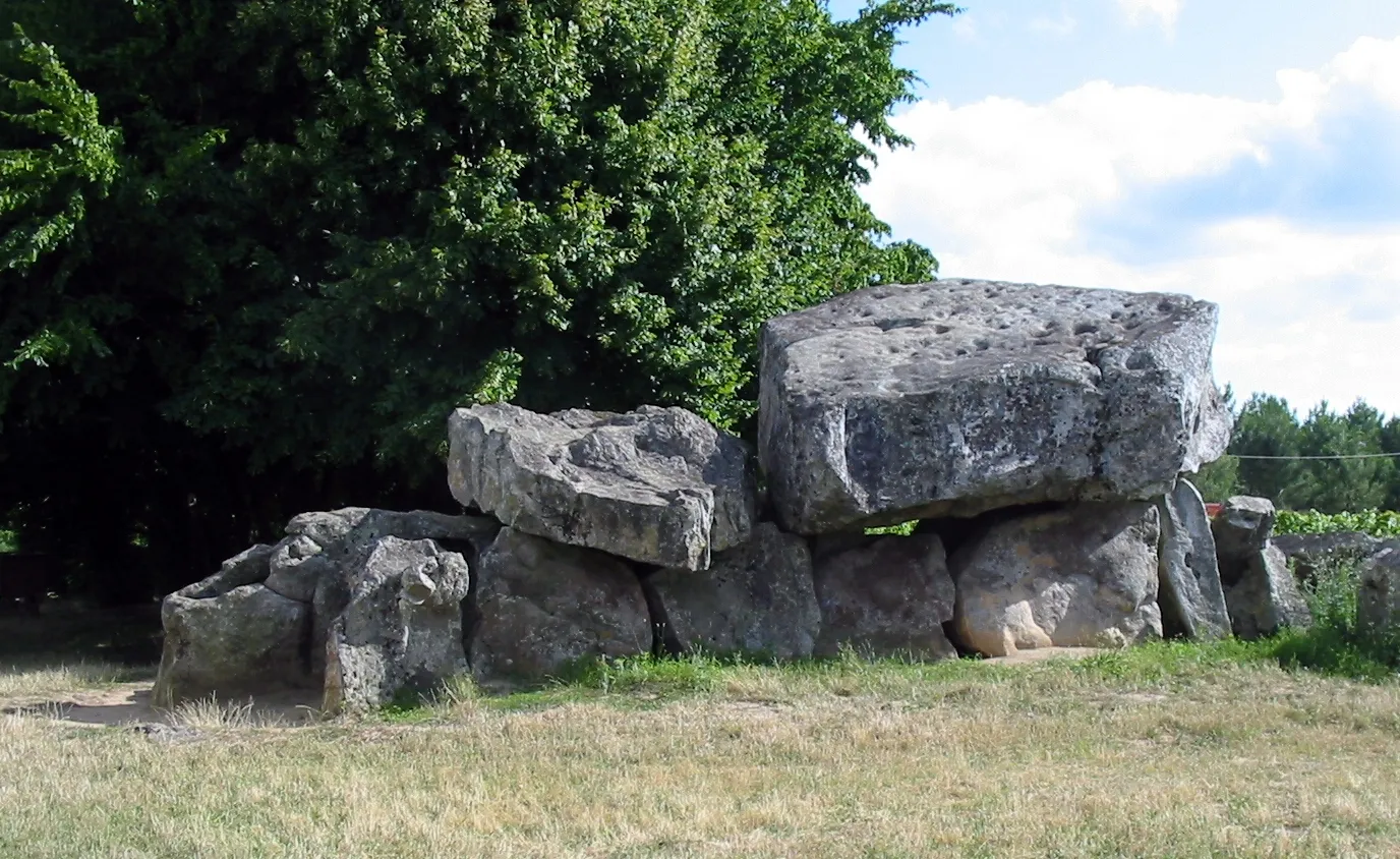
BoscamnantVillageBoscamnant is a small village with a rich history, including its medieval castle ruins.
76 km
76 km
Saint-AigulinVillageSaint-Aigulin, the starting point of the route, offers a glimpse into the rural charm of Poitou-Charentes.
78 km
78 km
Finish: La Roche-Chalais Village centerSaint-Aigulin: Leisurely Cycling in the Poitou-Charentes
Cycling routes nearby: