Coastal cycling paradise in Poitou-Charentes
Cycling routes from Saint-Pierre-d'Oleron
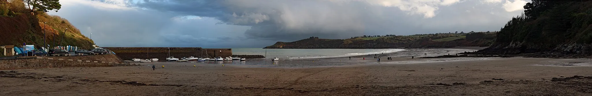
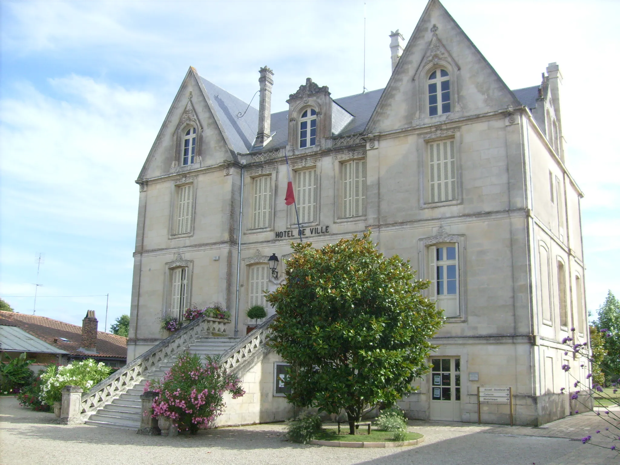
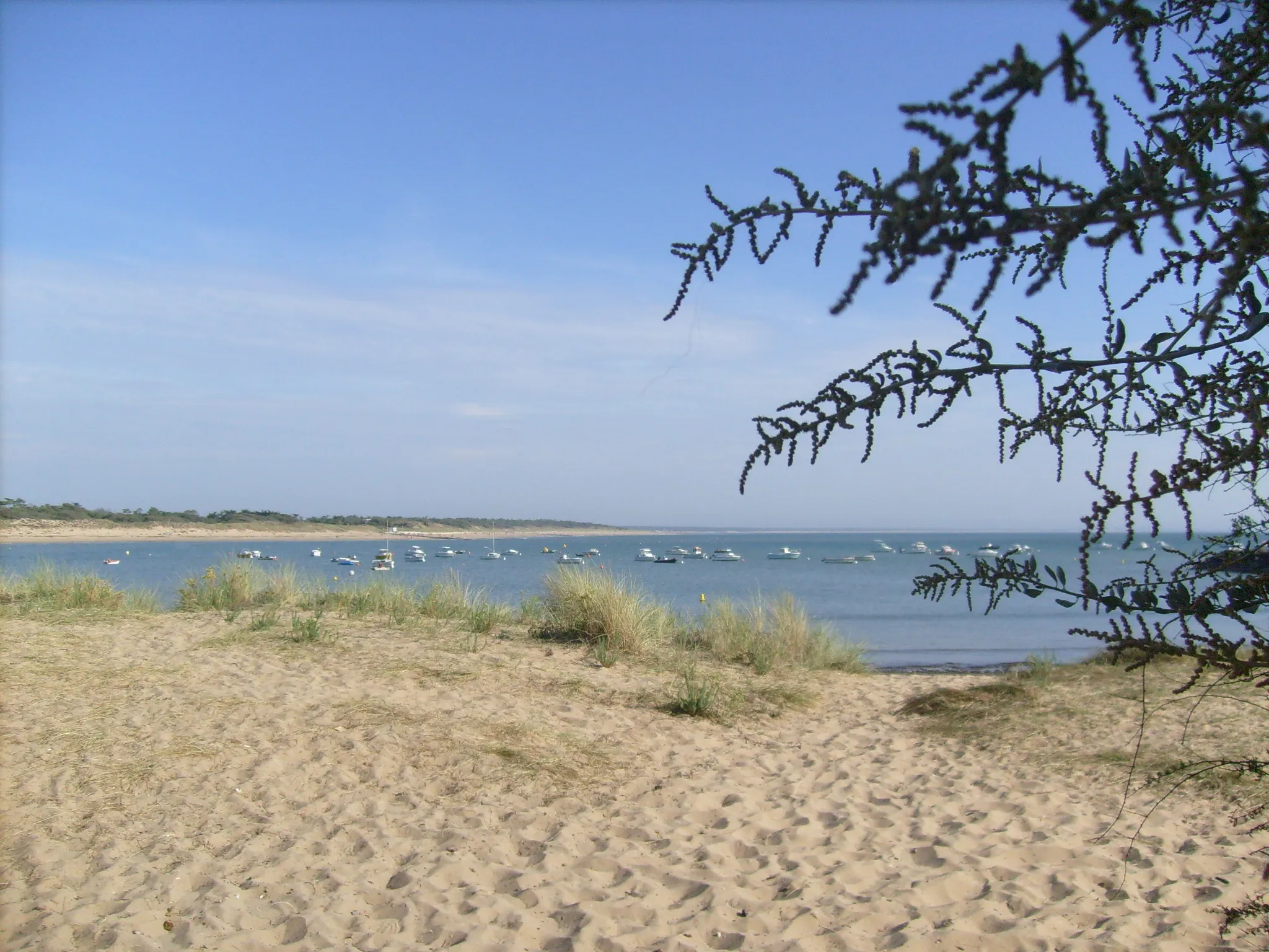
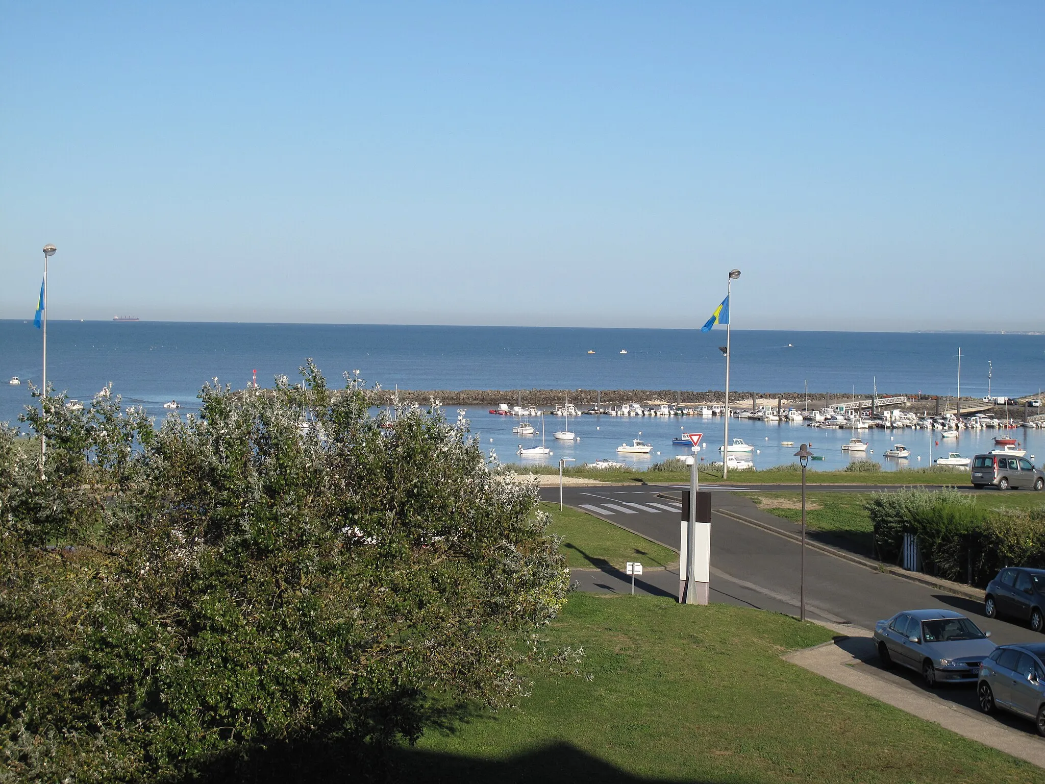
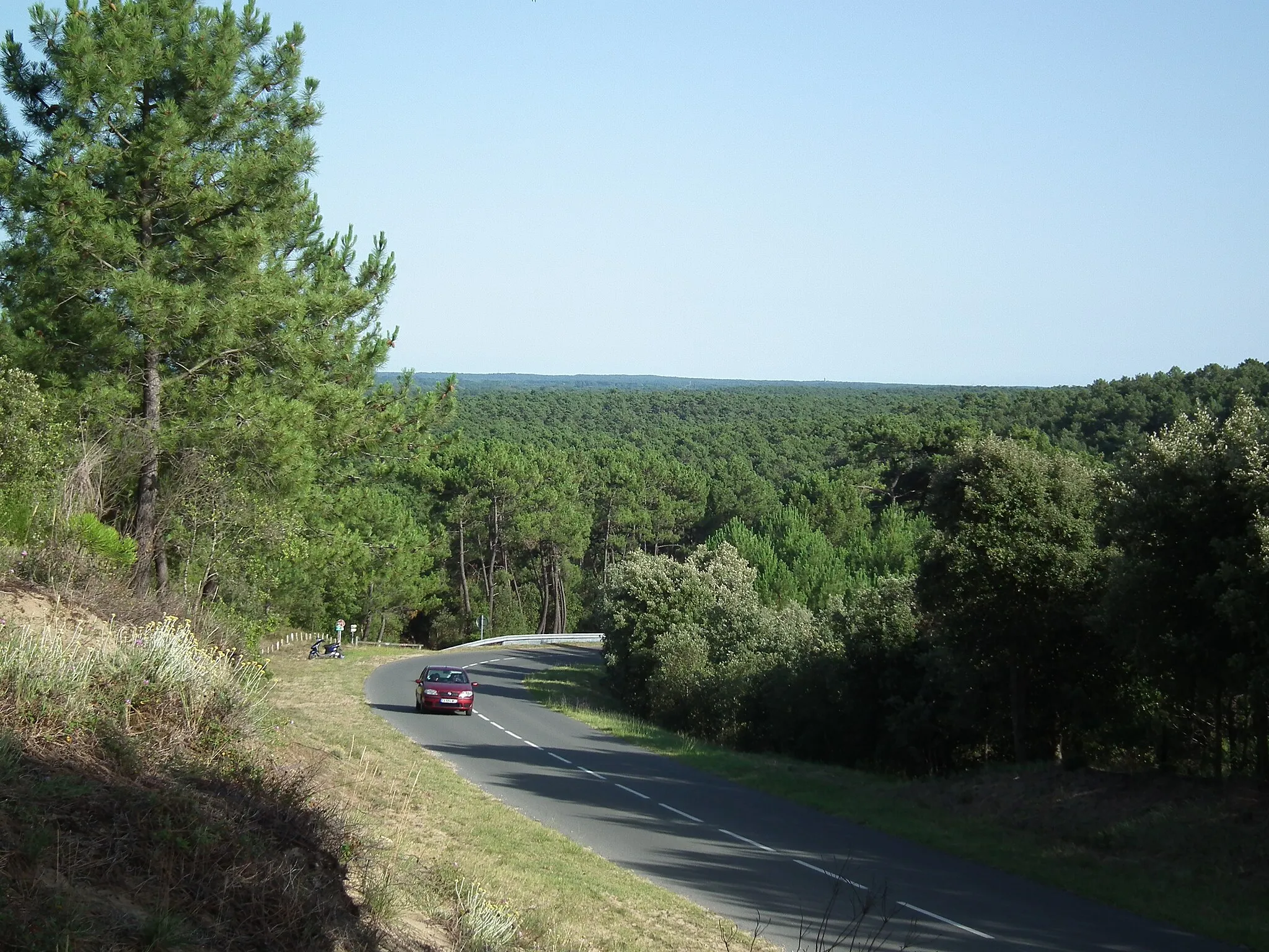
Saint-Pierre-d'Oléron is located in the Poitou-Charentes region of France. From a cyclist's perspective, Saint-Pierre-d'Oléron offers scenic coastal routes and picturesque countryside. The terrain is relatively flat, making it ideal for leisurely rides and exploring the island's charming villages. One distinctive cycling spot nearby is the Chassiron Lighthouse, which offers breathtaking panoramic views. Overall, Saint-Pierre-d'Oléron provides a relaxing and enjoyable cycling experience for riders of all levels.
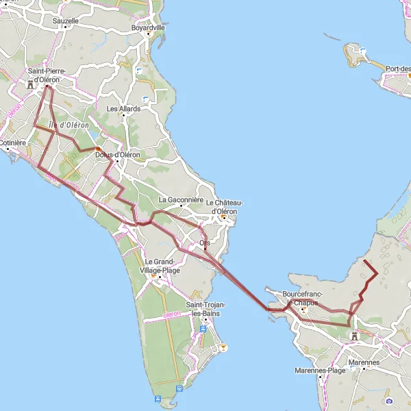
Explore the rugged beauty of Oléron island on this gravel route.
This gravel route takes you around Oléron island, offering a unique and rugged cycling experience. With a total distance of 57km and an ascent of 44m, this ride is perfect for gravel bikers looking for a moderate challenge. The route begins in Dolus-d'Oléron and passes through Bourcefranc-le-Chapus and Château de la Gataudière before returning to Saint-Pierre-d'Oléron, the starting point.
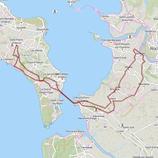
Gravel Adventure to Brouage

Embark on a gravel adventure to the fortified village of Brouage.
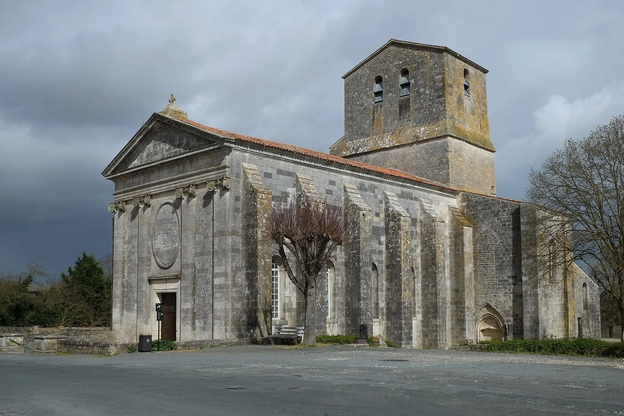
This gravel route takes you on an adventurous journey to Brouage, a well-preserved fortified village. Covering a total distance of 71km with an ascent of 44m, this ride offers a moderate challenge for gravel cyclists. The route starts at Château de Bonnemie and passes through Bourcefranc-le-Chapus before reaching Brouage. Along the way, you'll encounter beautiful landscapes and scenic views. The highlight of the ride is Brouage itself, known for its rich history and impressive fortifications. Don't miss the opportunity to explore the narrow streets and discover the village's unique charm.
Gravel Route on Île d'Oléron
Explore the diverse landscapes of Île d'Oléron on this gravel route.
Strike out on an adventure across Île d'Oléron with this gravel route that covers a distance of 87 kilometers and includes an ascent of 101 meters. Explore the unique natural beauty and charming villages of the island as you ride through scenic countryside and along coastal roads. Along the way, take time to enjoy the highlights of the route, including the historic Île d'Oléron and the coastal town of Bourcefranc-le-Chapus. With its diverse landscapes and moderate difficulty, this route offers a rewarding cycling experience for gravel enthusiasts.
Experience the diverse landscape of Oléron Island on this scenic gravel route.
This gravel route takes you on a scenic journey around Oléron Island, showcasing its diverse landscape and natural beauty. Covering a total distance of 78km with an ascent of 40m, this ride is suitable for gravel bikers of all levels. The route begins in Dolus-d'Oléron and passes through Moulin à marée des loges and Château de la Gataudière before circling back to Dolus-d'Oléron. One of the highlights of the ride is Île d'Oléron itself, the largest French island on the Atlantic coast. Take the time to explore its beaches, forests, and charming villages along the way.
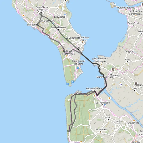
Road Route with Coastal Views
Enjoy breathtaking coastal views on this scenic road route.
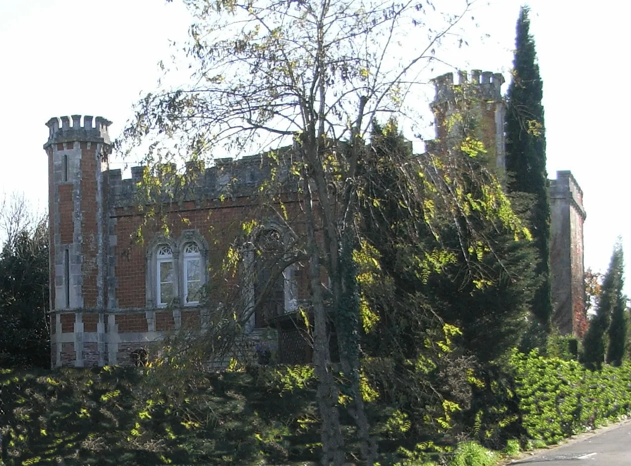
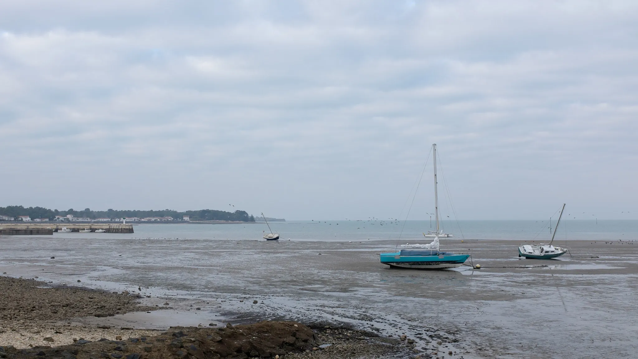
This road route offers a scenic and rewarding cycling experience, with stunning coastal views along the way. Covering a total distance of 90km with an ascent of 93m, this ride is suitable for intermediate level road cyclists. Starting in Dolus-d'Oléron, the route passes through picturesque spots such as the port channel and Beaugeay, offering captivating views of the ocean and surrounding landscape. The highlight of the route is Château de la Gataudière, a beautiful castle situated amidst lush gardens. The ride ends in Saint-Pierre-d'Oléron, where you can relax and unwind after an exhilarating journey.
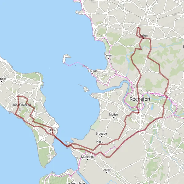
Explore the scenic landscapes between Saint-Pierre-d'Oléron and La Pépinière.
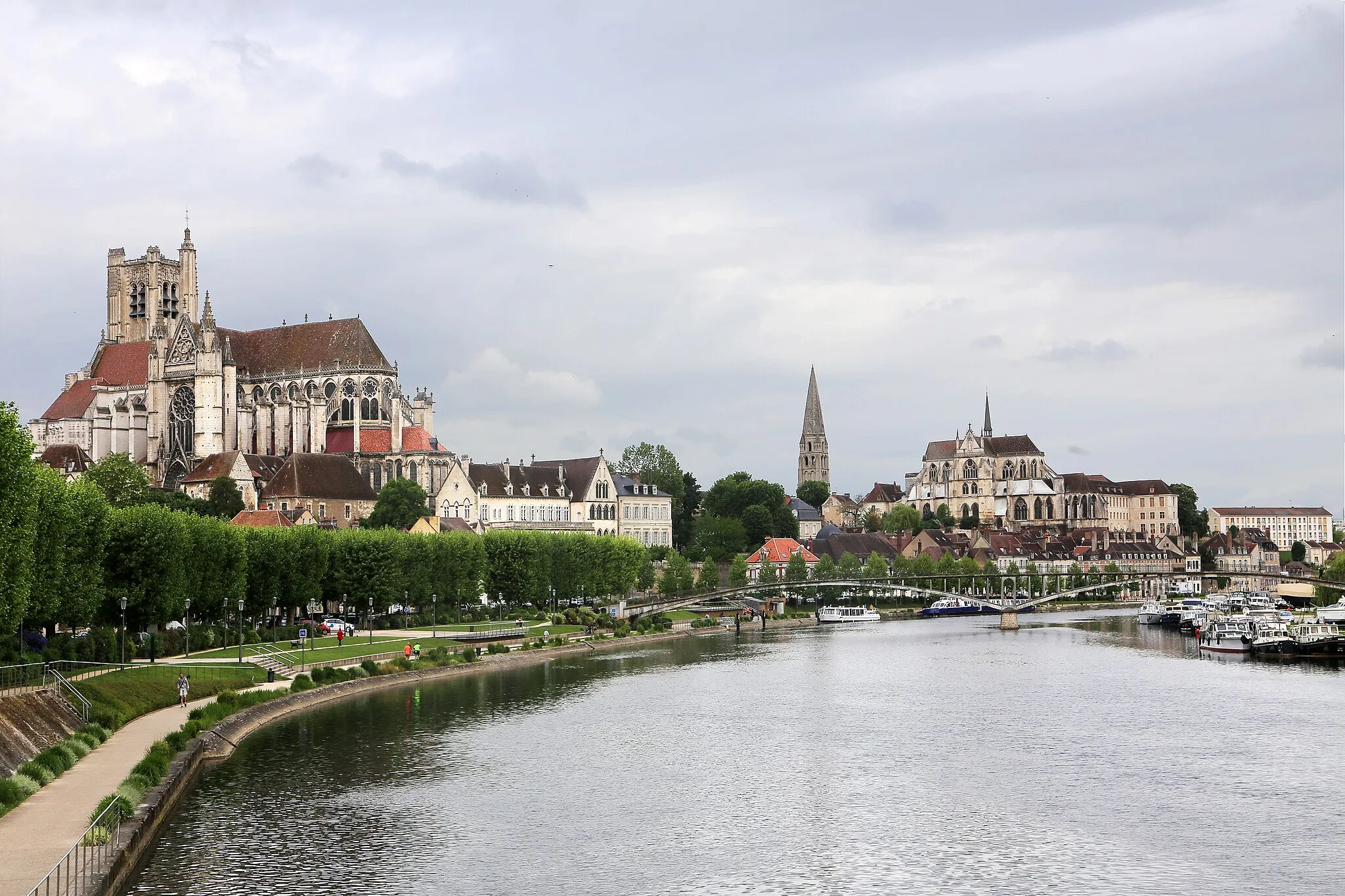
This gravel route takes you on a scenic journey from Saint-Pierre-d'Oléron to La Pépinière, passing through charming towns and beautiful countryside. With a total distance of 139 kilometers and an ascent of 286 meters, this route offers a moderate challenge for gravel riders. Along the way, you'll have the opportunity to visit highlights such as the historic town of Rochefort and the impressive Dolus-d'Oléron. The route is suitable for gravel bikes and provides a unique perspective on the natural beauty of the Poitou-Charentes region.
Discover the charms of the Charente-Maritime on this scenic cycling route
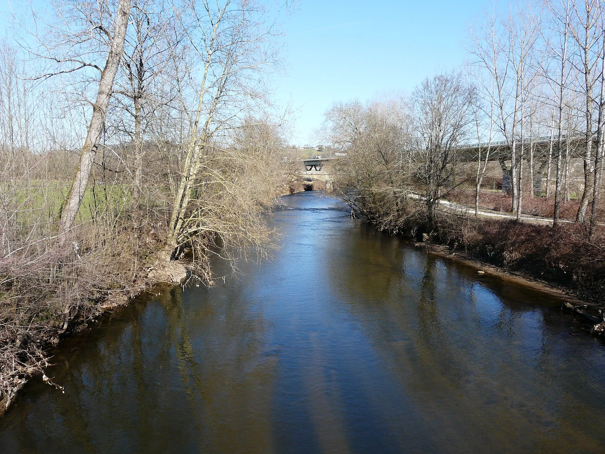
Embark on a journey through Oléron and the Charente-Maritime department, where picturesque landscapes, historic landmarks, and charming villages await. The route takes you along pristine coastlines, through lush countryside, and past cultural highlights, offering a delightful cycling experience. This region is known for its oyster farming, fortified towns, and beautiful architecture, providing ample opportunities to immerse yourself in French heritage and natural beauty. Whether you're a road cycling enthusiast or enjoy gravel adventures, this route is sure to captivate you with its diverse scenery and intriguing landmarks.
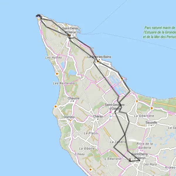
Discover the beautiful coastal scenery from Saint-Pierre-d'Oléron to Saint-Denis-d'Oléron.
This road route takes you along the picturesque coastal landscapes of Saint-Pierre-d'Oléron to Saint-Denis-d'Oléron. With a total distance of 36 kilometers and minimal ascent, this route is suitable for road cyclists of all levels. Enjoy the scenic beauty of the coast, with opportunities to stop and explore highlights such as La Brée-les-Bains and Saint-Denis-d'Oléron. The route provides a relaxing and enjoyable cycling experience, offering stunning views of the Atlantic Ocean and charming coastal towns. Ride along quiet roads and soak in the peaceful atmosphere of the Poitou-Charentes region.
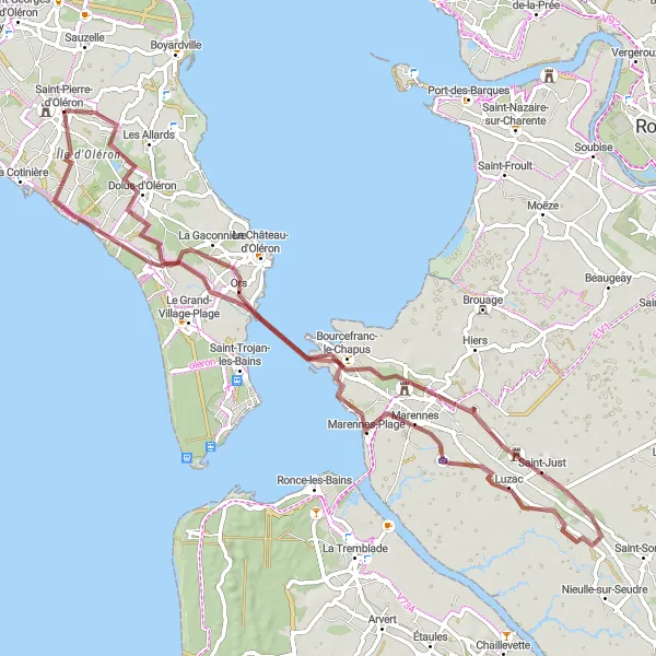
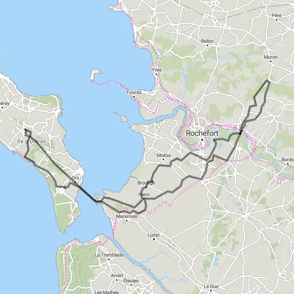
Road Route across Île d'Oléron
Experience the diverse landscapes of Île d'Oléron on this road cycling route.
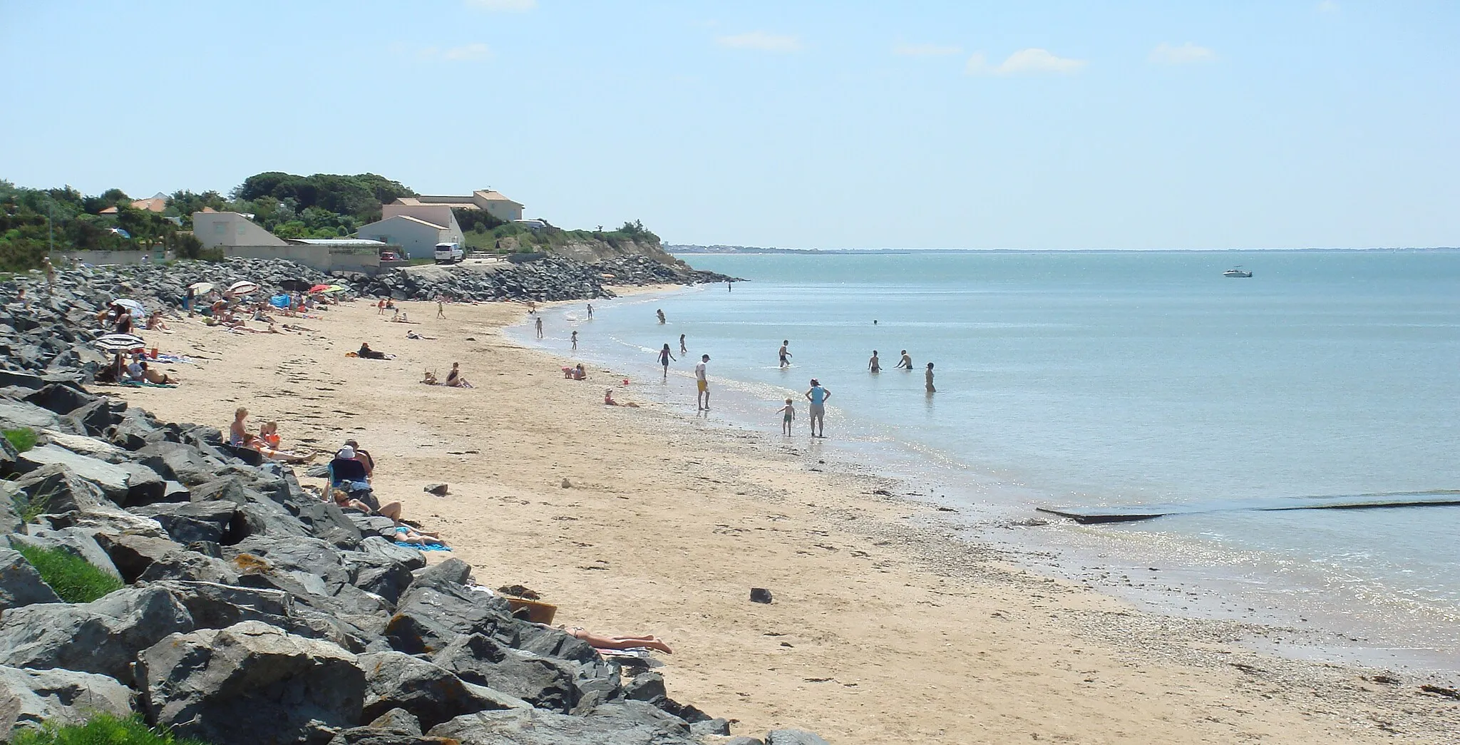
Discover the natural beauty and cultural heritage of Île d'Oléron with this road route that covers 86 kilometers and includes an ascent of 151 meters. Traveling across the island, you'll have the opportunity to explore the diverse landscapes, including coastal plains and charming villages. Highlights of the route include the sandy beaches of Marennes-Plage, the picturesque town of Ronce-les-Bains with its vibrant seaside atmosphere, and the historic Bourcefranc-le-Chapus. With its moderate difficulty and scenic attractions, this route offers a delightful cycling experience for road cyclists of all levels.
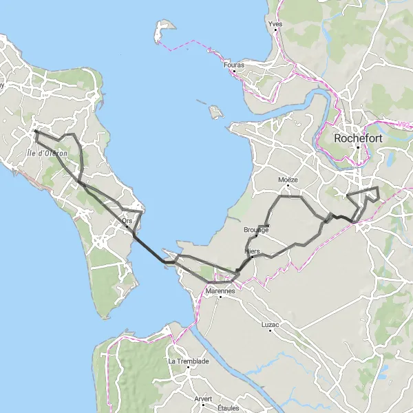
Cycling routes nearby:

Nearby regions: