Saint-Porchaire Road Route
A road cycling route starting from Saint-Savinien
80km of road cycling with Saint-Porchaire highlights
Map
Immerse yourself in history and culture as you cycle through this 80km road route featuring highlights of Saint-Porchaire. With moderate climbs and rewarding descents, this route is suitable for intermediate cyclists seeking a scenic and enriching experience.
road
80 km
251 m
Tough
Route profile
Highlights on the route
0 km
0 km
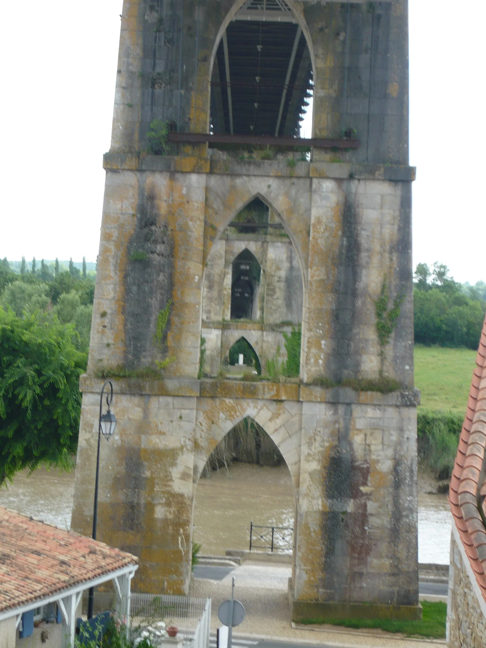
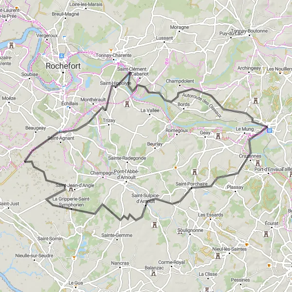
Start: Saint-Savinien Village centerSaint-Savinien: Pedal through picturesque landscapes and historic sites in Saint-Savinien.
Saint-Savinien is a locality in the Poitou-Charentes region of France. From a cyclist's perspective, Saint-Savinien offers scenic routes suitable for road cycling. The area is characterized by rolling hills, tranquil river views, and charming countryside scenery, making it an enjoyable location for cyclists. Saint-Savinien is surrounded by picturesque villages and historical sites, offering opportunities for cultural exploration after a ride. However, there are no famous cycling-related spots or well-known climbs directly in Saint-Savinien. Overall, it is a peaceful and scenic place for road cycling enthusiasts seeking a blend of natural and cultural experiences.12 km
12 km
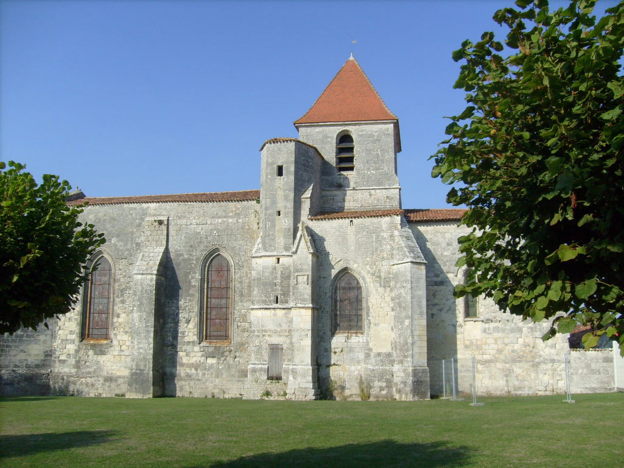
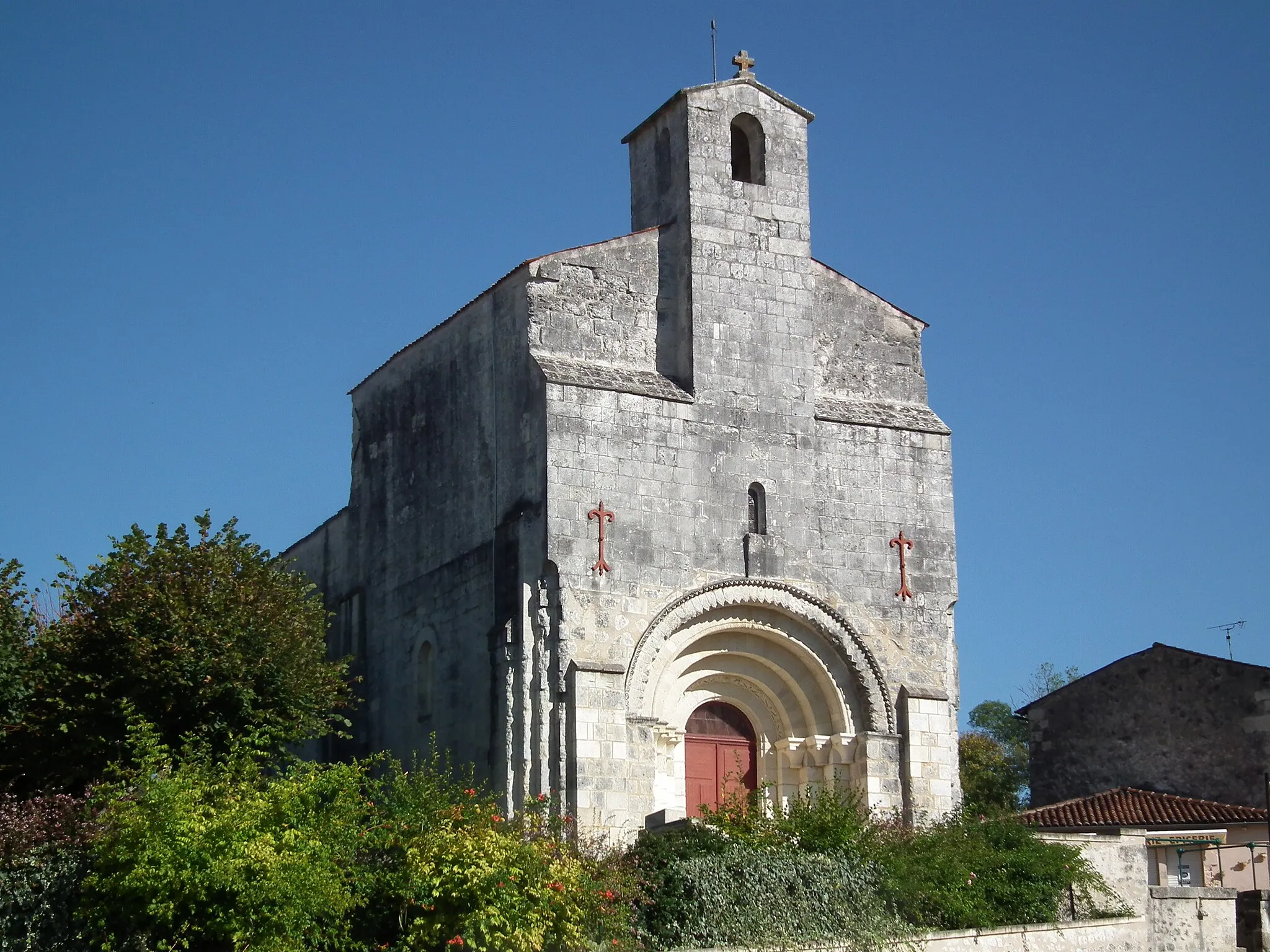
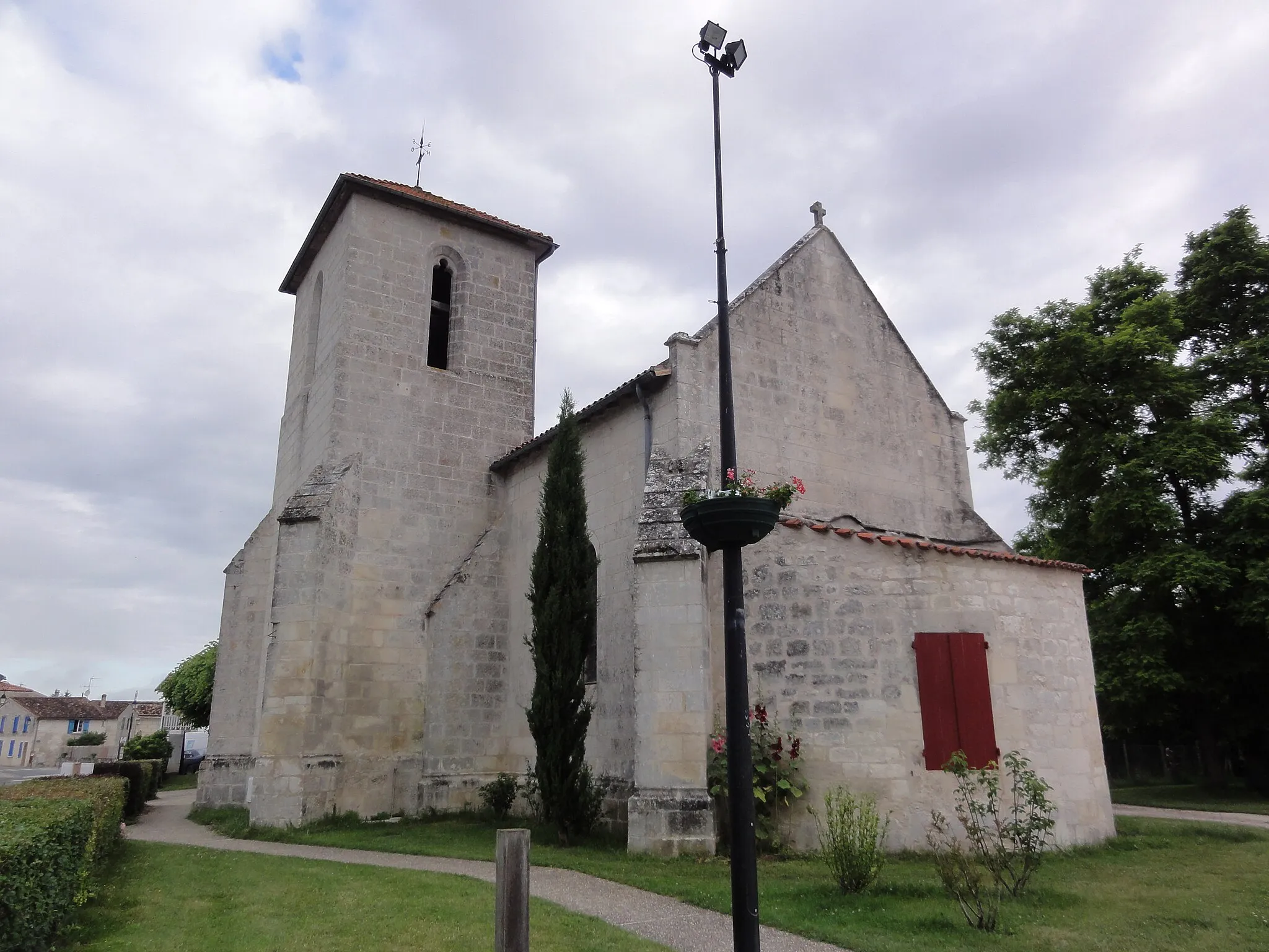
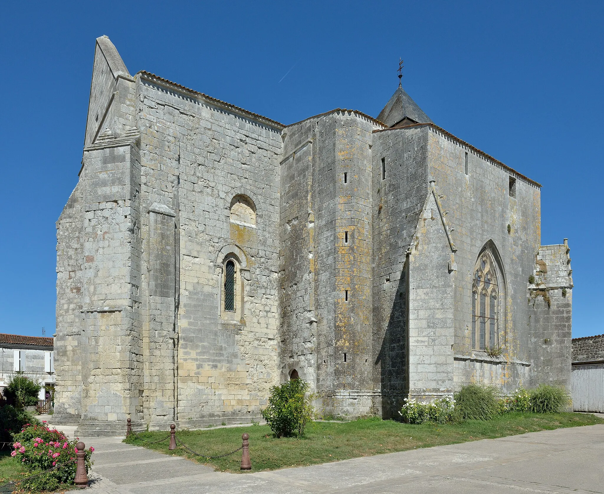
Saint-PorchaireVillageAt 12km, stop by Saint-Porchaire and discover the quaint village with its famous Renaissance castle.
30 km
30 km
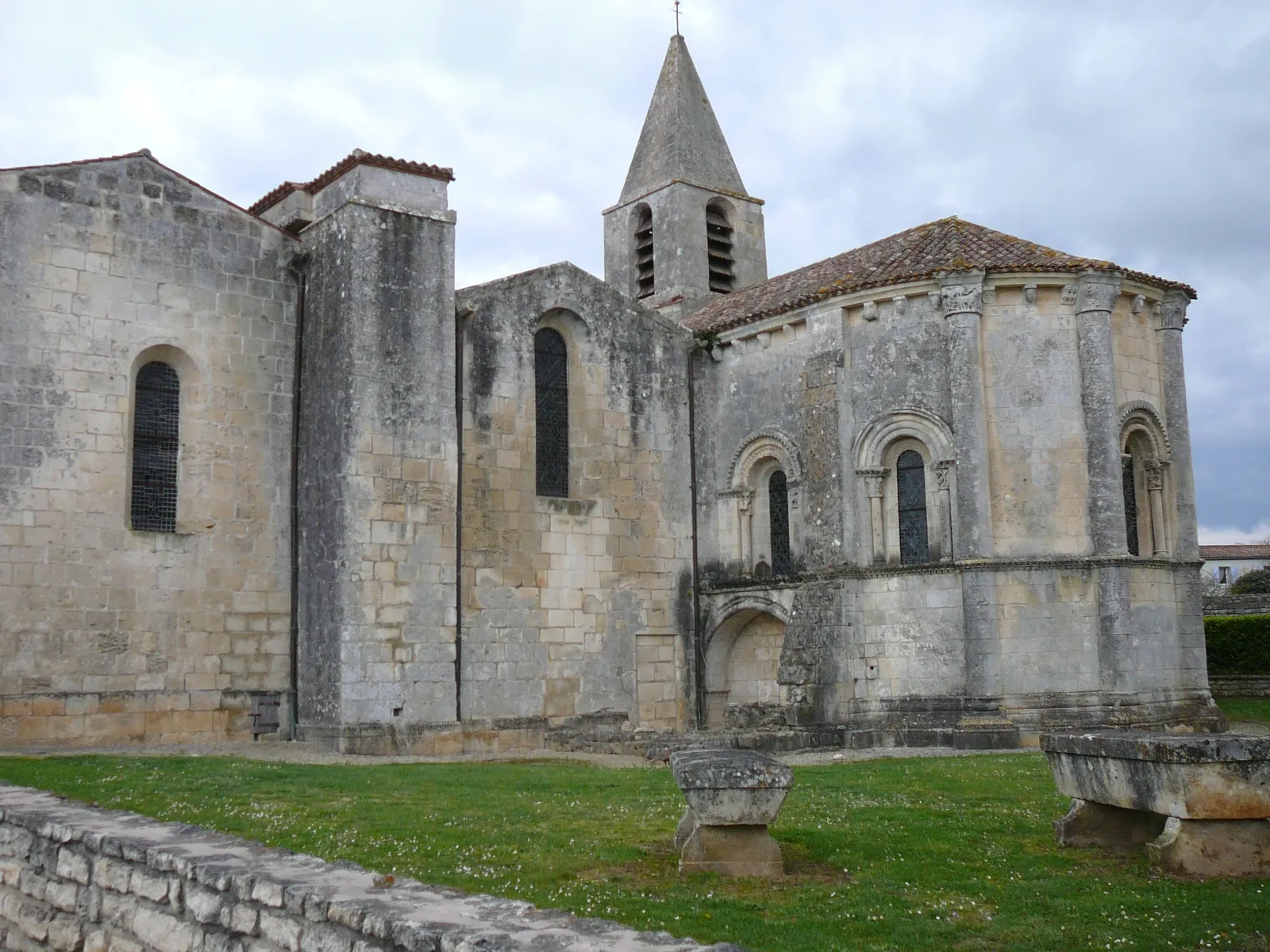
La Gripperie-Saint-SymphorienVillageAs you approach La Gripperie-Saint-Symphorien at 30km, be captivated by its rural charm and rolling landscapes.
63 km
63 km
CabariotVillageAt 63km, take a break in Cabariot, perched on the banks of the Charente River, offering picturesque views and historic buildings.
75 km
75 km
AgonnayHamletAs you conquer the final stretch at 75km, reach Agonnay and be rewarded with its scenic beauty and tranquil ambiance.
80 km
80 km
Finish: Saint-Savinien Village centerSaint-Savinien: Pedal through picturesque landscapes and historic sites in Saint-Savinien.
Cycling routes from Saint-Savinien:
Countryside Delights Charente Valley Loop Le Mung Gravel Route Torxé Road Route Torxé Gravel Route Hidden Gems Coastal Exploration Saint-Porchaire Road Route Gravel Adventure Crazannes Road Route Gravel Adventure from Grandjean to Crazannes Gravel Route through Torxé, Saint-Jean-d'Angély, Mazeray, and the Lanterne des morts
Cycling routes nearby: