Loop around Cucuron
A road cycling route starting from Cadenet
Discover the charming village of Cucuron on this scenic cycling route
Map

This moderate road cycling route takes you on a loop around Cucuron, a picturesque village in Provence-Alpes-Côte d'Azur. With a total distance of 67 kilometers and an elevation gain of 811 meters, this route offers a mix of challenging climbs and peaceful countryside roads.
road
67 km
811 m
Tough
Route profile
Highlights on the route
0 km
0 km
Start: Cadenet Village centerCadenet: Scenic cycling amidst the tranquility of Provence-Alpes-Côte d’Azur.
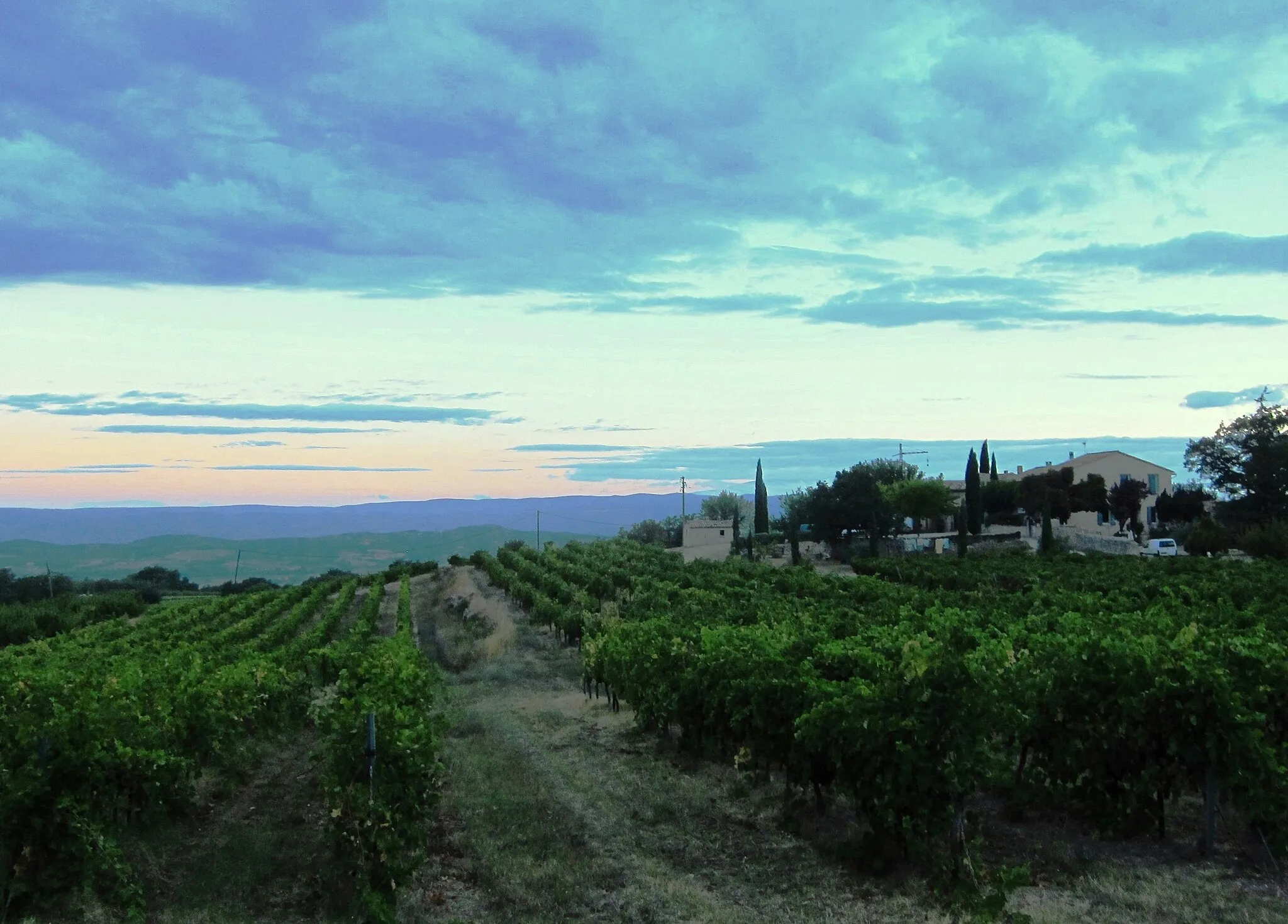
Cadenet is a locality in the Provence-Alpes-Côte d’Azur region of France. From a cyclist's perspective, the area offers picturesque scenery and tranquil roads suitable for leisurely rides. The network of well-paved roads makes it easy for road cyclists to explore the surrounding countryside, including the nearby Luberon Natural Park. While Cadenet may not offer any renowned cycling climbs, it serves as an ideal base for those looking to enjoy relaxed rides amidst beautiful landscapes. Tourists visiting Cadenet can also indulge in the region's culinary delights and visit charming local towns nearby.8 km
8 km
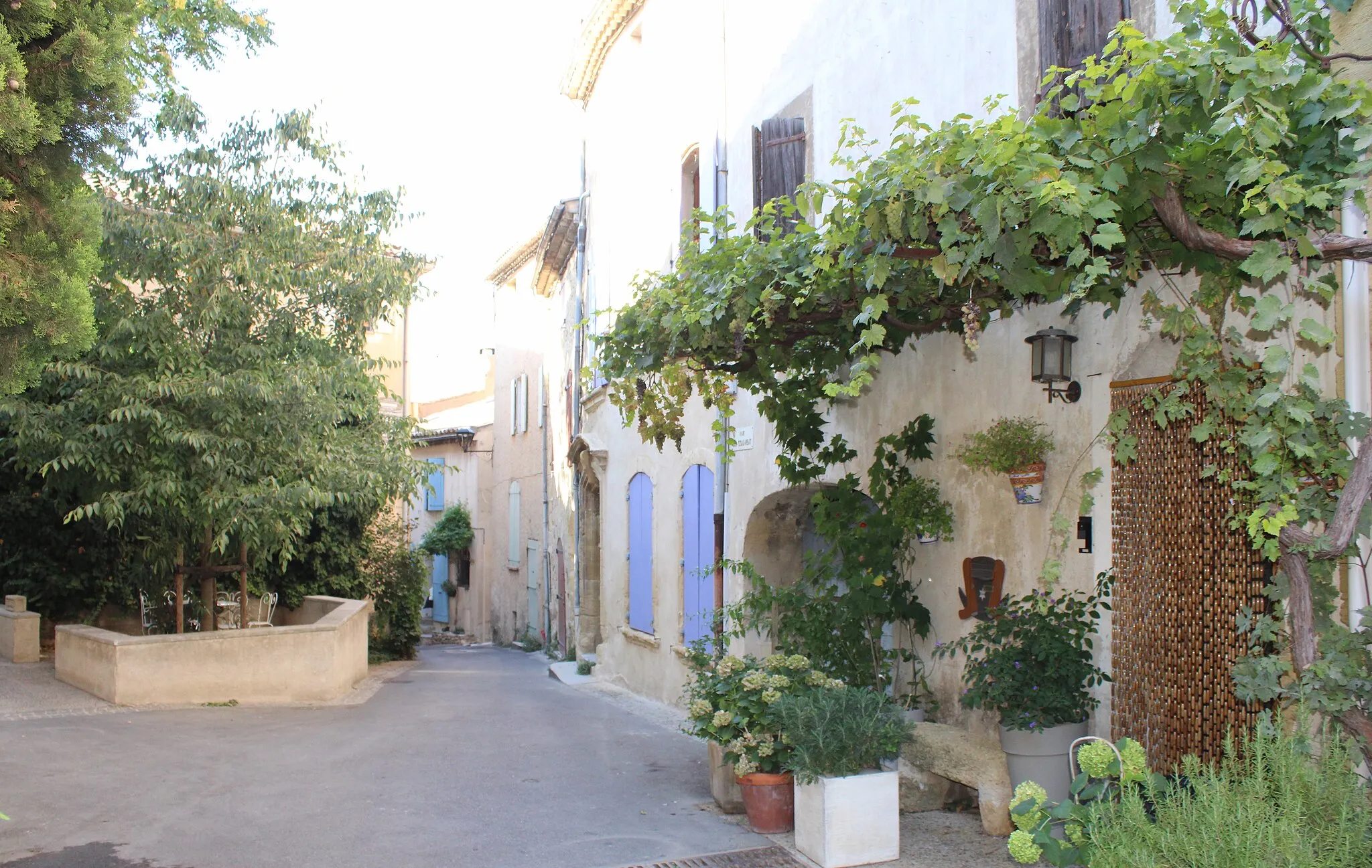
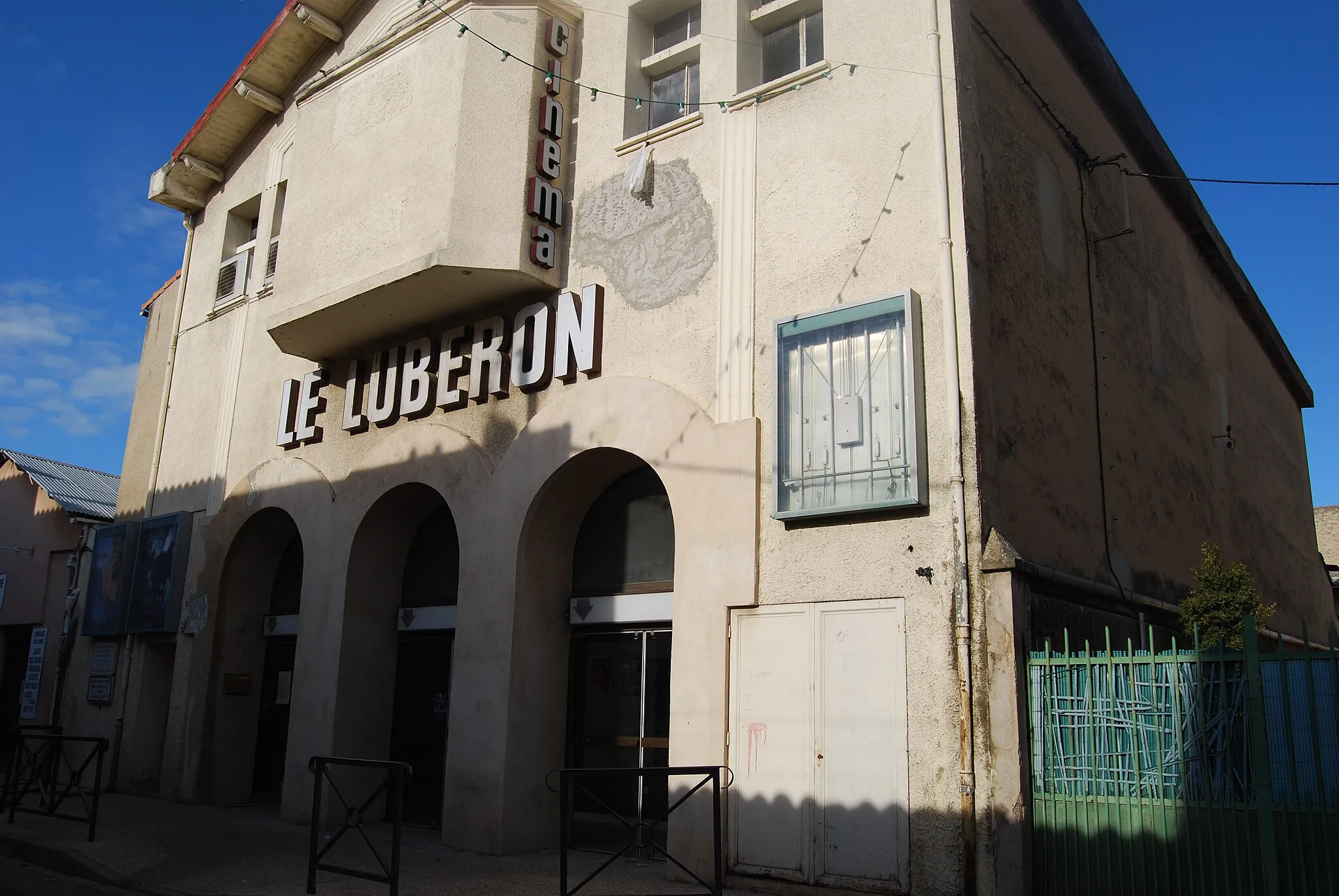
CucuronVillageLocated at 8 kilometers on the route, Cucuron is known for its well-preserved old town and charming central square with a large pond.
14 km
14 km
Cabrières-d'AiguesVillageCabrières-d'Aigues, at 14 kilometers along the route, is a typical Provençal village surrounded by vineyards and olive groves.
22 km
22 km
Peypin-d'AiguesVillagePeypin-d'Aigues, at 22 kilometers, offers beautiful views of the Luberon Mountain range and the surrounding countryside.
33 km
33 km
Signal de Piégros559 mPeakSignal de Piégros, located 33 kilometers into the route, is a popular vantage point offering panoramic views of the region.
47 km
47 km
La BastidonneVillageAt 47 kilometers, La Bastidonne provides a peaceful setting with its charming old stone houses and beautiful countryside.
61 km
61 km
VillelaureVillageVillelaure, at 61 kilometers, is a small village with a rich history and scenic landscapes.
67 km
67 km
Finish: Cadenet Village centerCadenet: Scenic cycling amidst the tranquility of Provence-Alpes-Côte d’Azur.
Cycling routes nearby: