Gravel Adventure: Carnoules to Saint-Quinis Challenge
A gravel cycling route starting from Carnoules
A challenging gravel ride with scenic vistas
Map
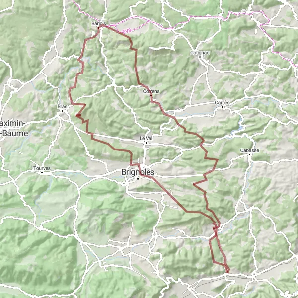
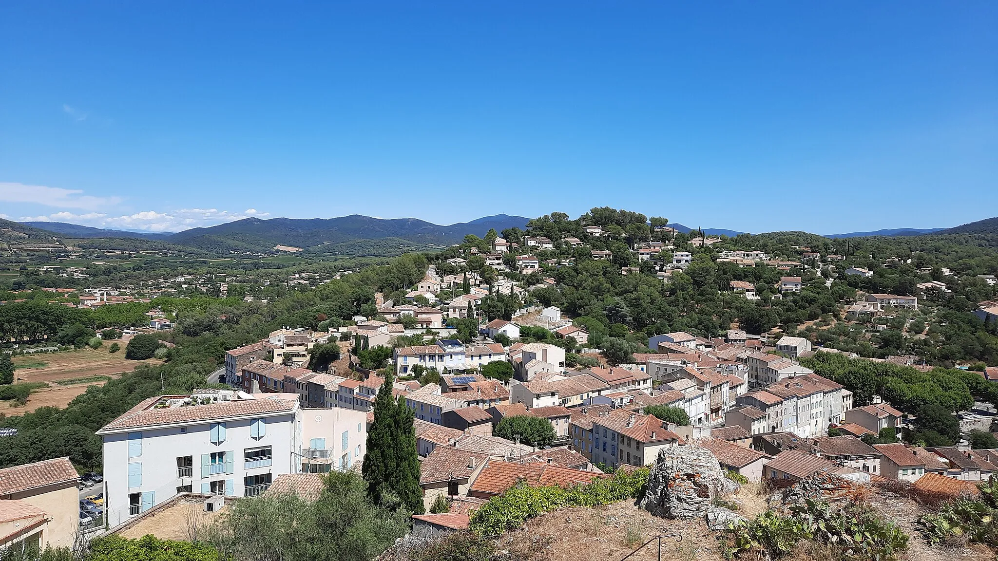
This gravel cycling route takes you on a challenging adventure from Carnoules to Saint-Quinis and back. It covers a distance of 98 km with a total ascent of 1770 m, making it suitable for experienced riders. Along the way, you will be treated to breathtaking views of the rolling hills and picturesque vineyards of Provence. Highlights of this route include the stunning Camps-la-Source and the iconic Château de Vins. With a difficulty level of 5 and an epicness rating of 4, this route is perfect for seasoned gravel riders seeking a thrilling adventure through the countryside.
gravel
98 km
1770 m
Savage
Route profile
Highlights on the route
0 km
0 km
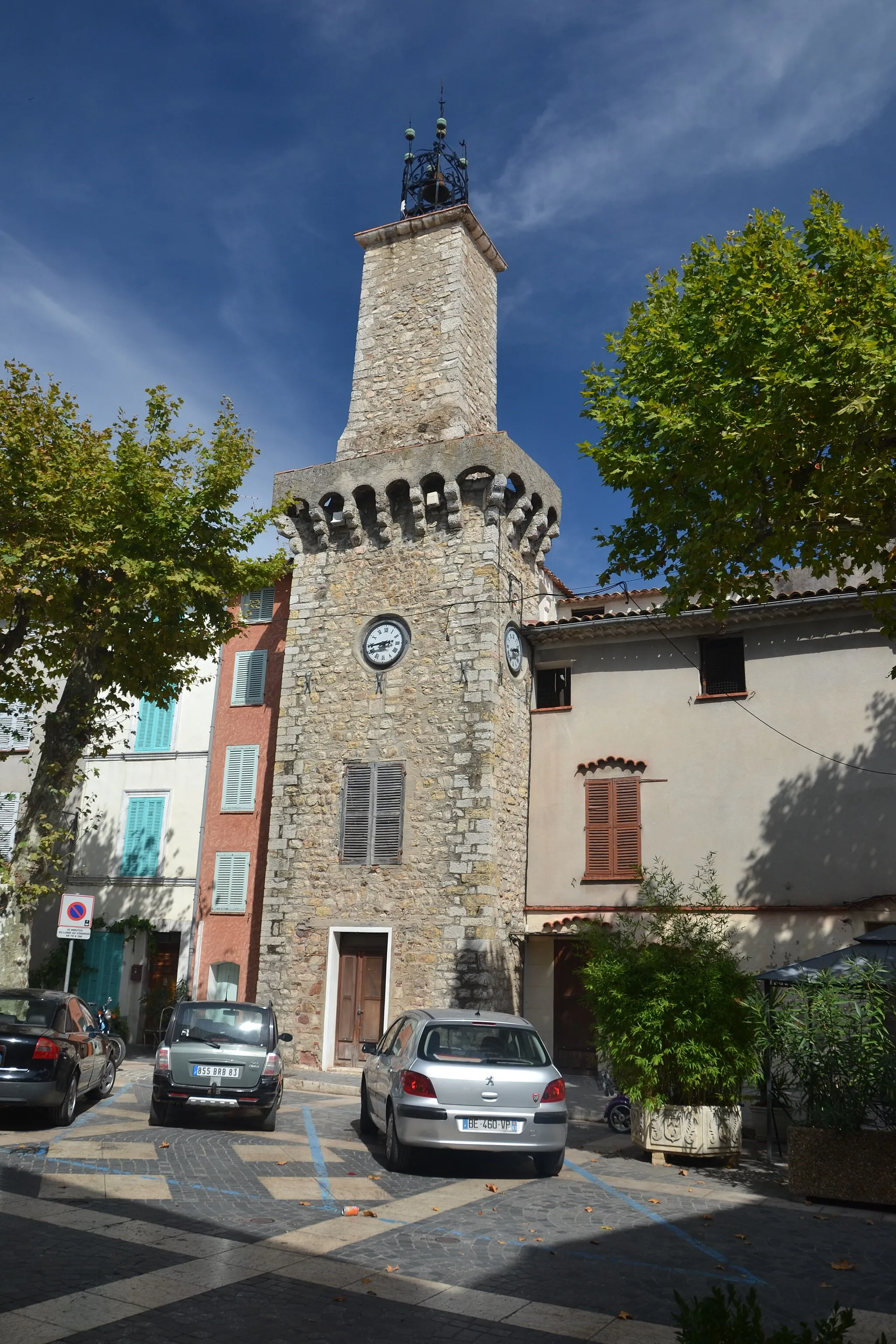
Start: Carnoules Village centerCarnoules: Discover the Provence-Alpes-Côte d’Azur region on two wheels.
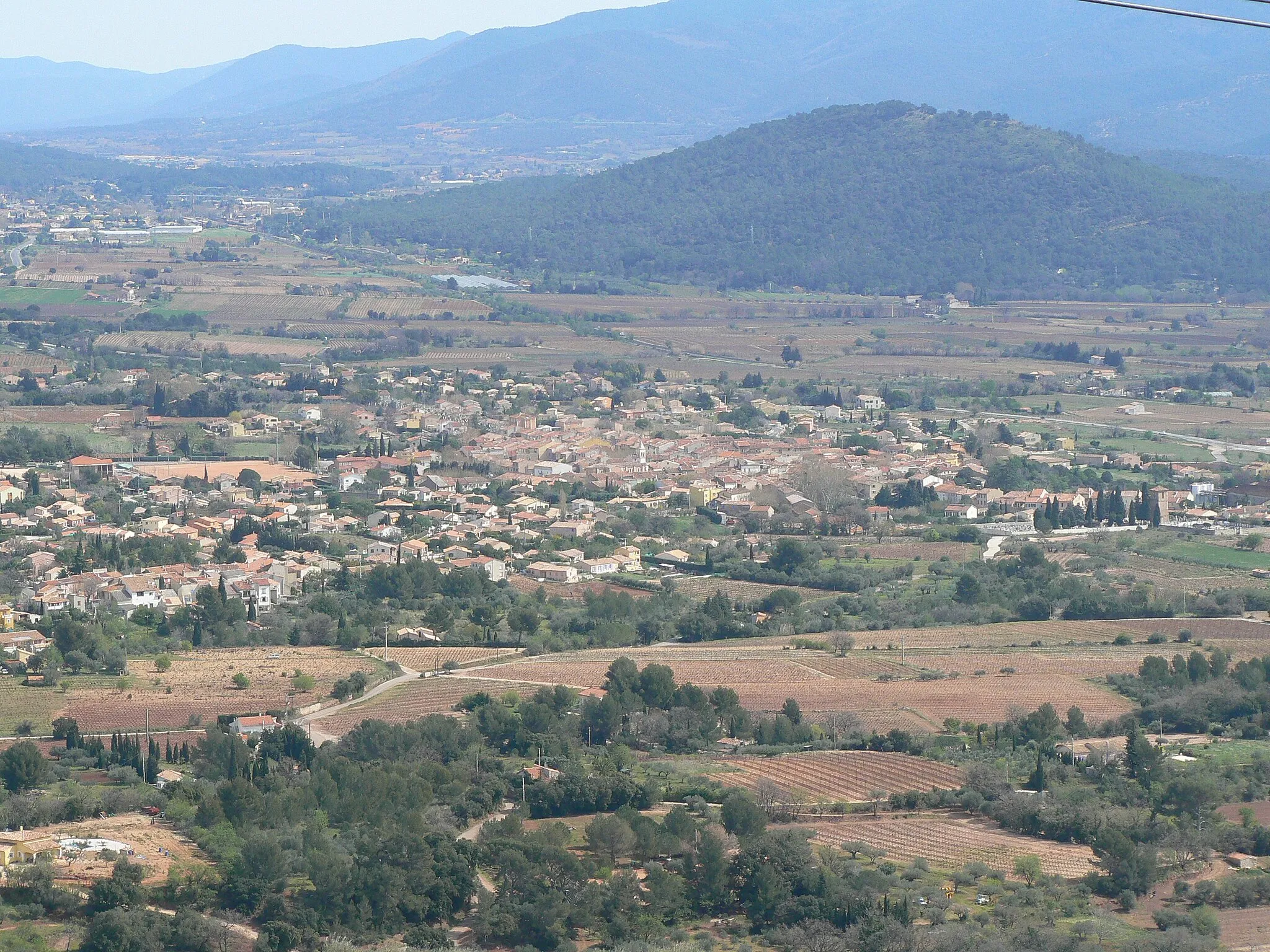
Located in the Provence-Alpes-Côte d’Azur region, Carnoules offers cyclists a picturesque setting surrounded by lush greenery and scenic landscapes. The locality is known for its favorable cycling climate, making it ideal for road and gravel cyclists throughout the year. One prominent climb near Carnoules is the Mont Pilon, a challenging ascent popular among cycling enthusiasts. With its close proximity to the Mediterranean coast, Carnoules also provides opportunities for coastal rides and exploration. Overall, Carnoules is a popular cycling destination with beautiful scenery and challenging climbs.11 km
11 km
Saint-Quinis636 mPeakSaint-Quinis is a small village perched on a hilltop with panoramic views of the surrounding landscape.
15 km
15 km
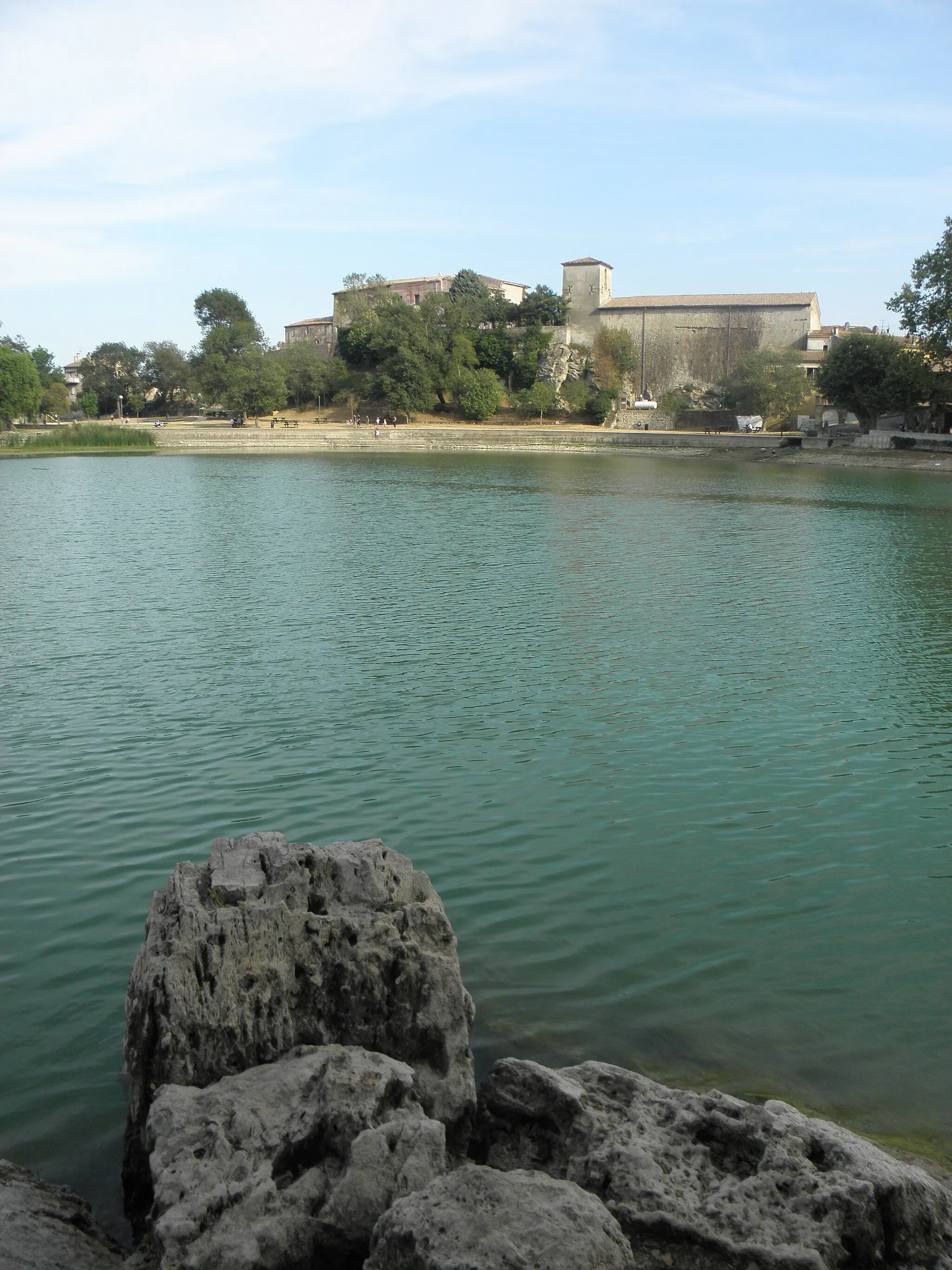
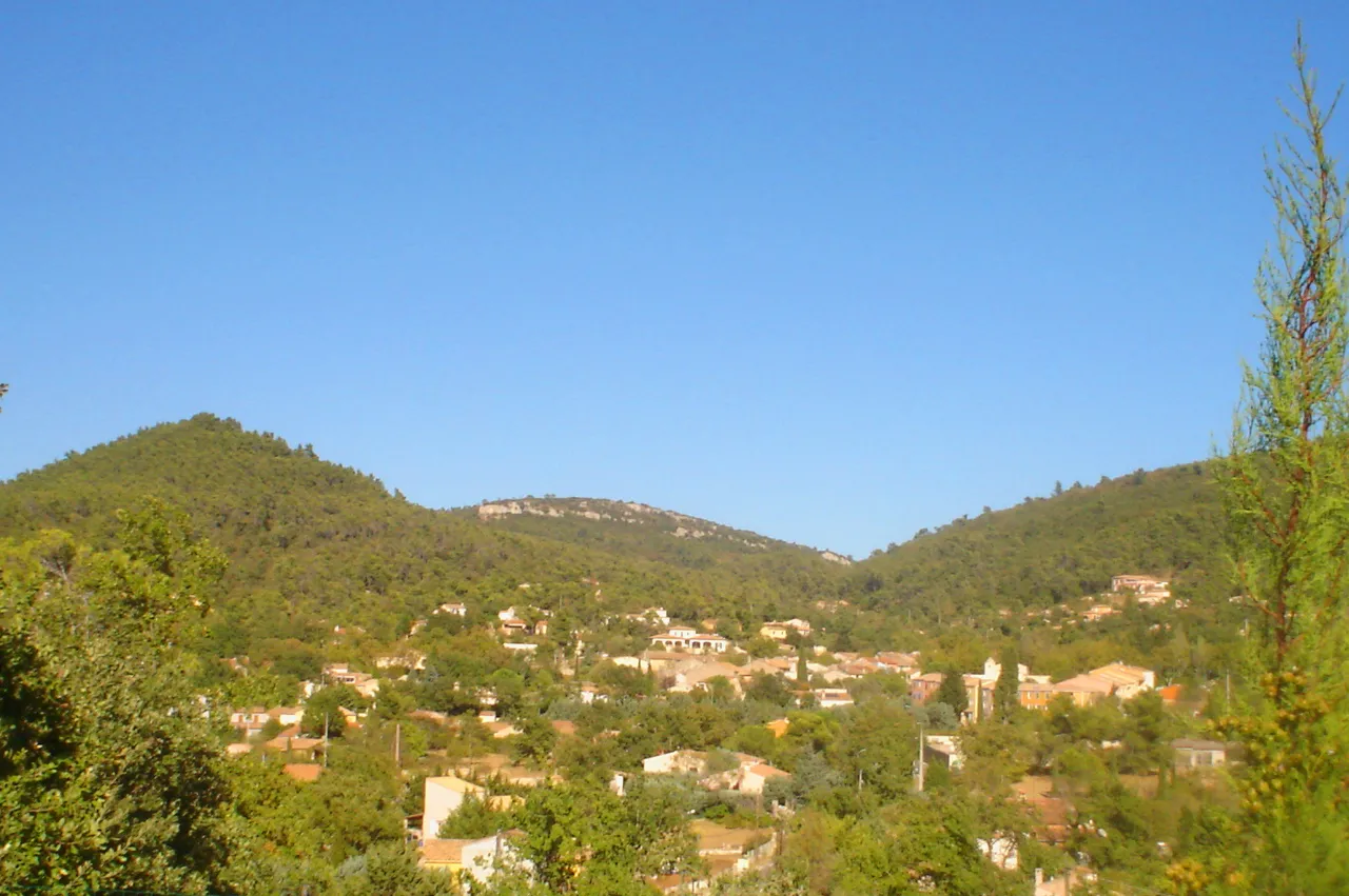
Camps-la-SourceVillageCamps-la-Source is a charming village known for its natural spring water and beautiful gardens.
25 km
25 km
Le Gros Clapier437 mPeakLe Gros Clapier boasts stunning views over the valley and is a great spot to enjoy a picnic.
55 km
55 km
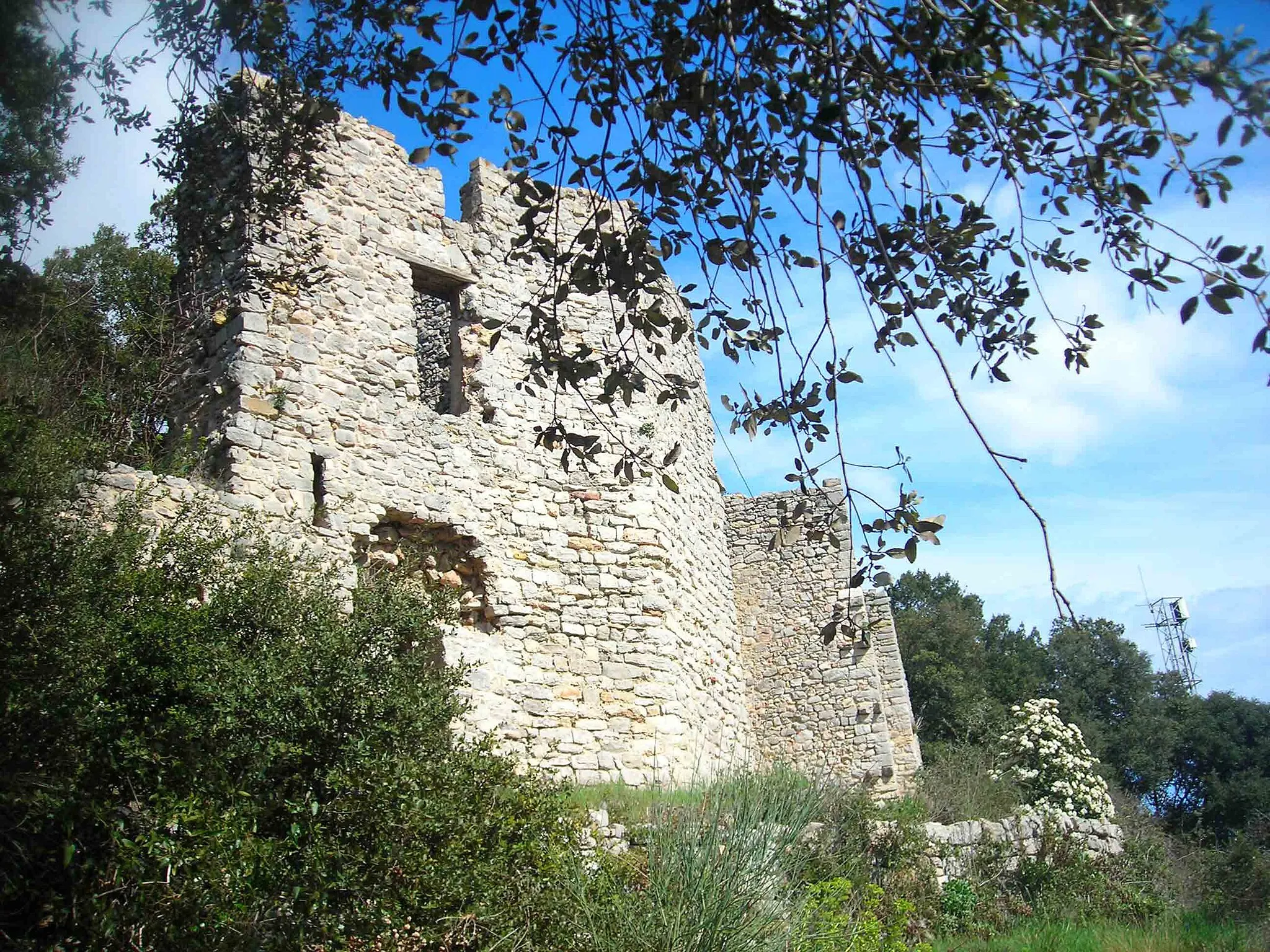
Petit Bessillon669 mPeakPetit Bessillon is a historic site with ruins dating back centuries and offers stunning panoramic views of the region.
65 km
65 km
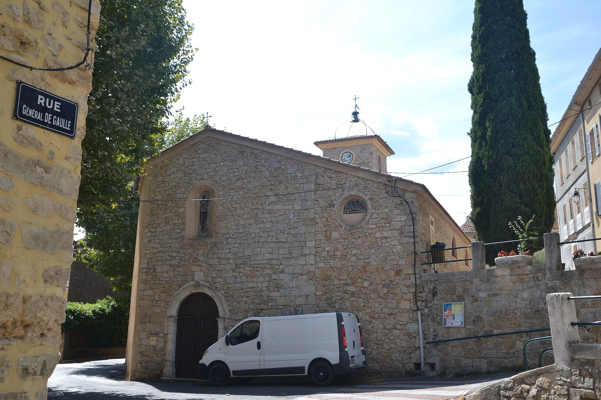
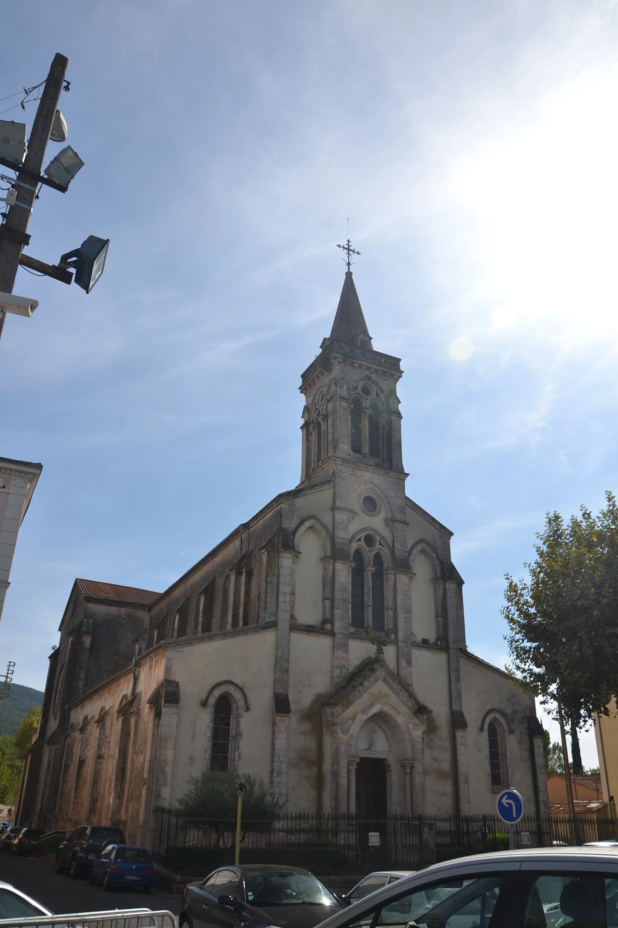
CorrensVillageCorrens is a picturesque village nestled in the heart of the Provence region, known for its organic vineyards and charming cobblestone streets.
75 km
75 km
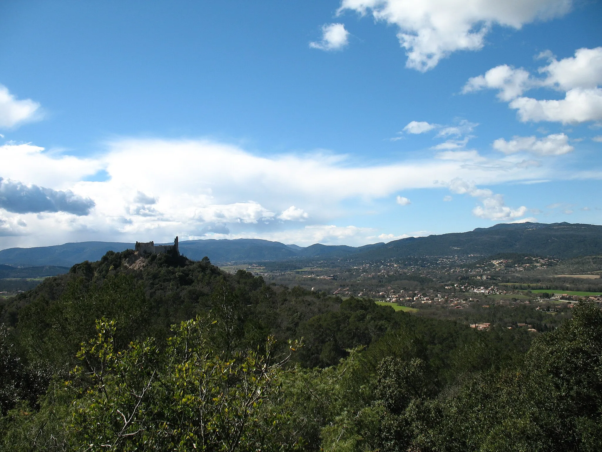
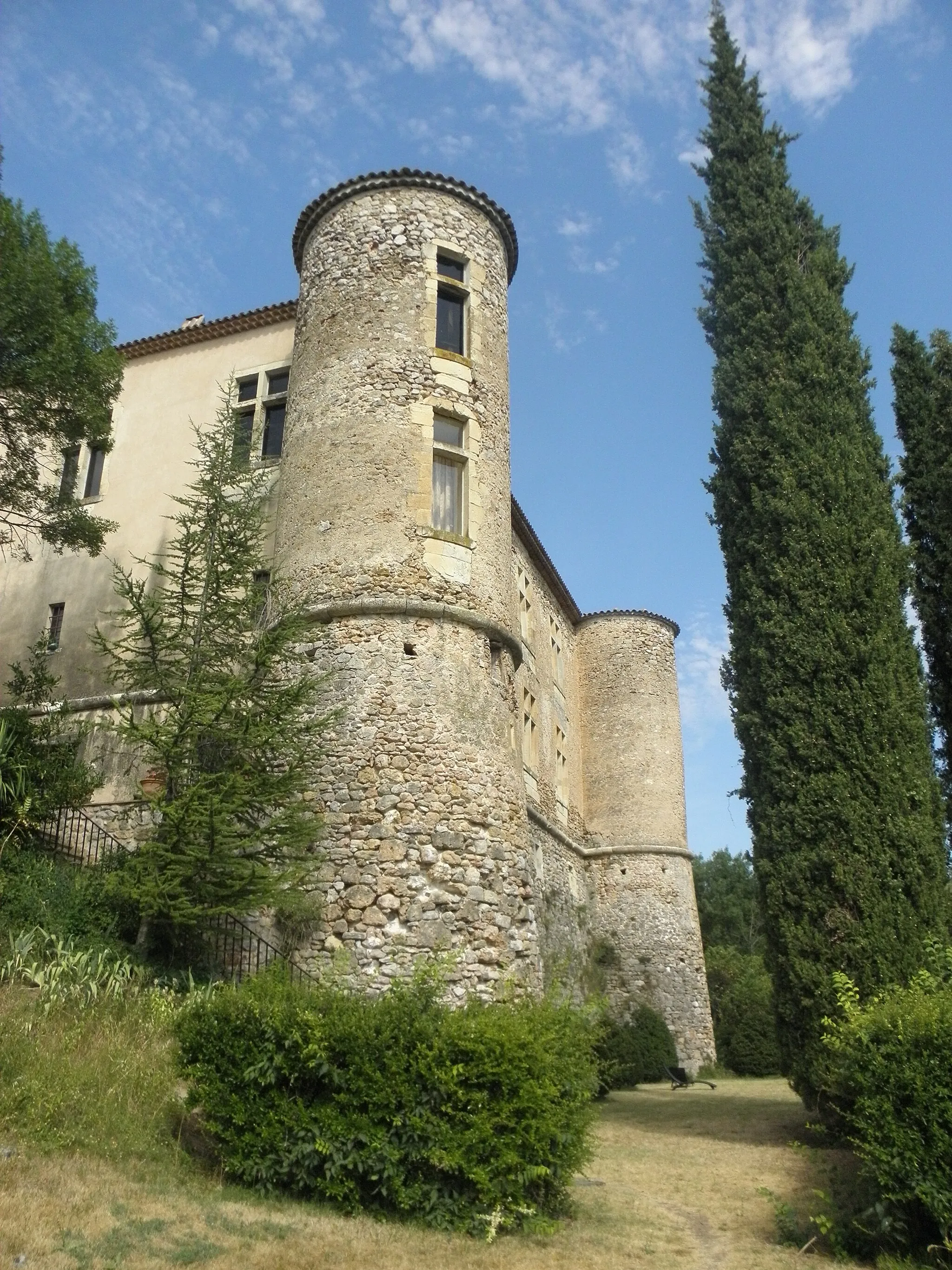
Château de VinsCastleChâteau de Vins is a medieval castle surrounded by lush vineyards and is a must-visit for wine enthusiasts.
81 km
81 km
Pifforan335 mPeakPifforan is a hidden gem with scenic trails and is popular among outdoor enthusiasts.
96 km
96 km
Collet Long270 mPeakCollet Long offers breathtaking views of the Provençal countryside and is a great spot for photography.
98 km
98 km
CarnoulesVillageCarnoules is a charming village with a rich cultural heritage and vibrant atmosphere.
98 km
98 km
Finish: Carnoules Village centerCarnoules: Discover the Provence-Alpes-Côte d’Azur region on two wheels.
Cycling routes from Carnoules:
Hidden Gems and Scenic Delights Mountainous Adventure and Scenic Landscapes Gravel Adventure: Pignans Loop Gorges of Pei Pelas Carnoules to Besse-sur-Issole Loop Scenic Road Cycling: Carnoules to Abbaye du Thoronet Challenging Road Cycling: Besse-sur-Issole to Collet des Amoureux Scenic Countryside and Historic Villages Picturesque Villages and Waterfalls Gravel Adventure: Carnoules to Saint-Quinis Challenge Gravel Route around Carnoules Road Cycling Route from Carnoules Scenic Road Cycling Route near Carnoules
Cycling routes nearby: