The Mountain Challenge
A road cycling route starting from Carqueiranne
Conquer the mountains of Provence-Alpes-Côte d’Azur on this epic road cycling route
Map

Embark on a challenging journey through the mountainous landscapes of Provence-Alpes-Côte d’Azur. This 111-kilometer road cycling route offers a thrilling ascent of 1754 meters, making it a perfect challenge for well-trained amateur cyclists seeking an epic adventure. Highlights of this route include Table d'orientation, known for its stunning panoramic views, and Solliès-Pont, a charming village with historic architecture. With a difficulty level of 4 out of 5 and an epicness rating of 5 out of 5, this route guarantees an unforgettable cycling experience.
road
111 km
1754 m
Tough
Route profile
Highlights on the route
0 km
0 km
Start: Carqueiranne Village centerCarqueiranne: Breathtaking coastal routes with iconic climb nearby - Mont Ventoux.
Carqueiranne is a beautiful town located in the Provence-Alpes-Côte d’Azur region of France. From a cyclist's perspective, Carqueiranne offers breathtaking coastal routes with stunning views of the Mediterranean Sea. The area features well-paved roads that are perfect for road cycling, allowing cyclists to enjoy the coastal scenery while exploring the region. One famous cycling spot nearby is Mont Ventoux, a legendary climb in the Tour de France. With its challenging gradient and iconic status, Mont Ventoux attracts professional cyclists and enthusiasts alike. Overall, Carqueiranne is a must-visit destination for road cyclists seeking a combination of coastal beauty and challenging climbs.15 km
15 km
Table d'orientationViewpointTable d'orientation: Savour breathtaking panoramic views from Table d'orientation, an elevated viewpoint along the route.
16 km
16 km
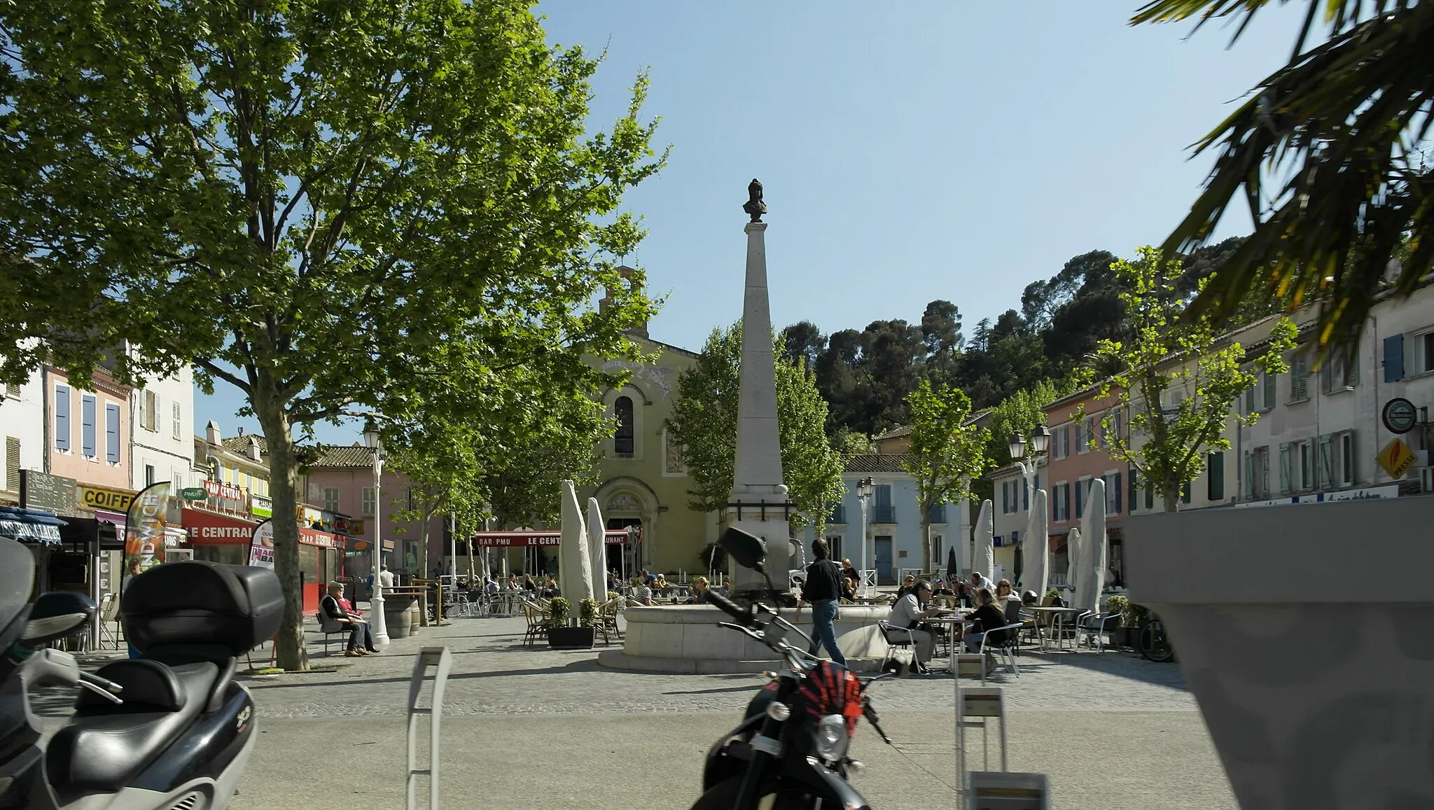
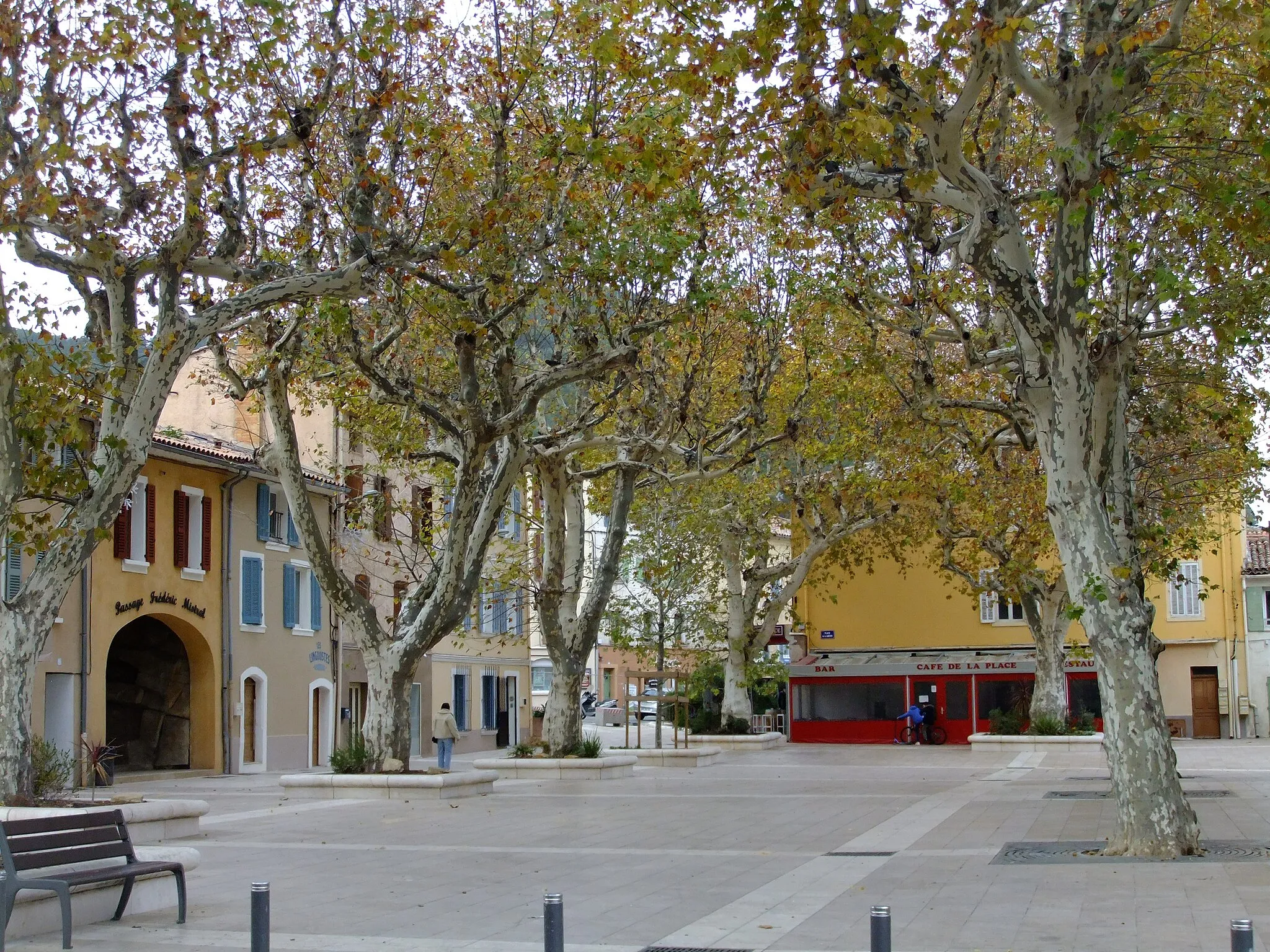
Solliès-PontVillageSolliès-Pont: Immerse yourself in the beauty of Solliès-Pont town, known for its historic buildings and scenic surroundings.
28 km
28 km
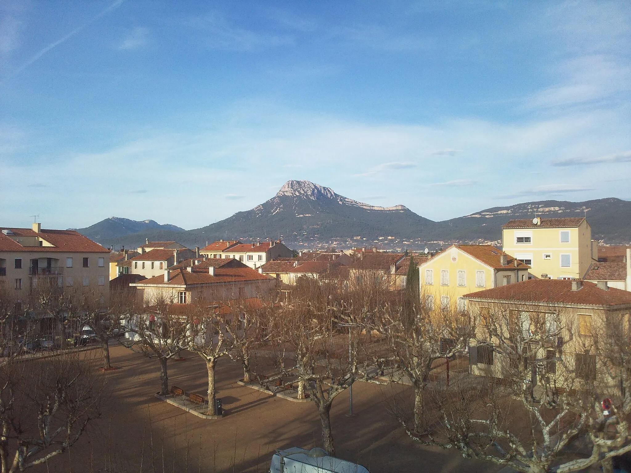
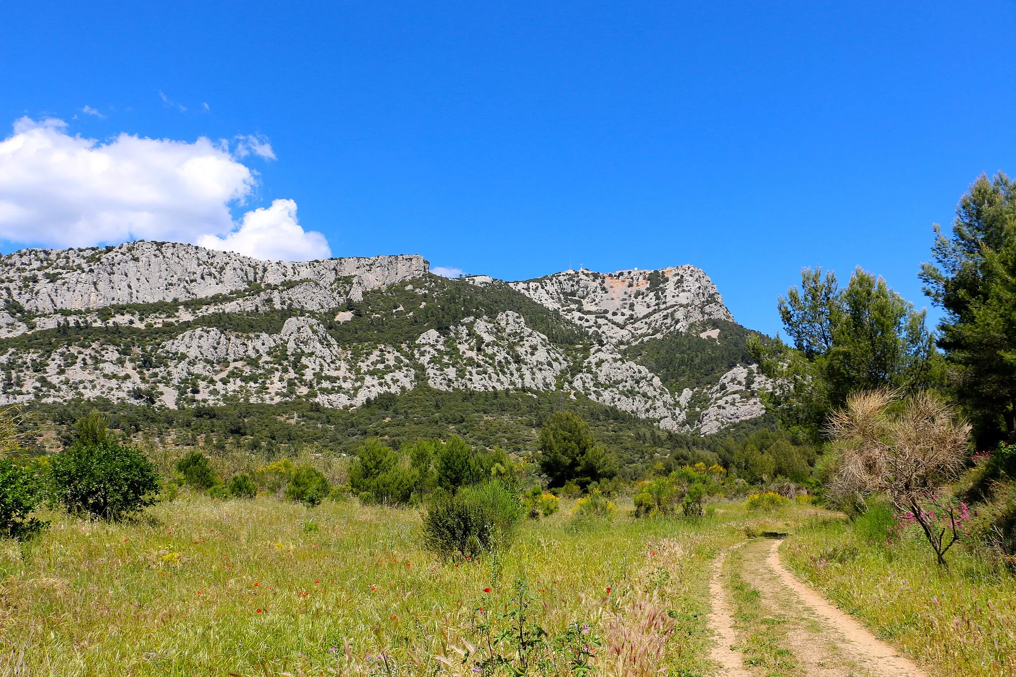
Le Grand Cap782 mPeakLe Grand Cap: Enjoy the challenge of Le Grand Cap, a winding road with stunning mountain views.
52 km
52 km
Le Camp du CastelletHamletLe Camp du Castellet: Visit the ancient archaeological site of Le Camp du Castellet and discover its rich history.
60 km
60 km
Le Télégraphe467 mPeakLe Télégraphe: Conquer the renowned climb of Le Télégraphe and test your cycling skills on this legendary route.
76 km
76 km
Pié Redon193 mPeakPié Redon: Enjoy the dramatic landscape and challenging terrain as you cycle through Pié Redon.
84 km
84 km
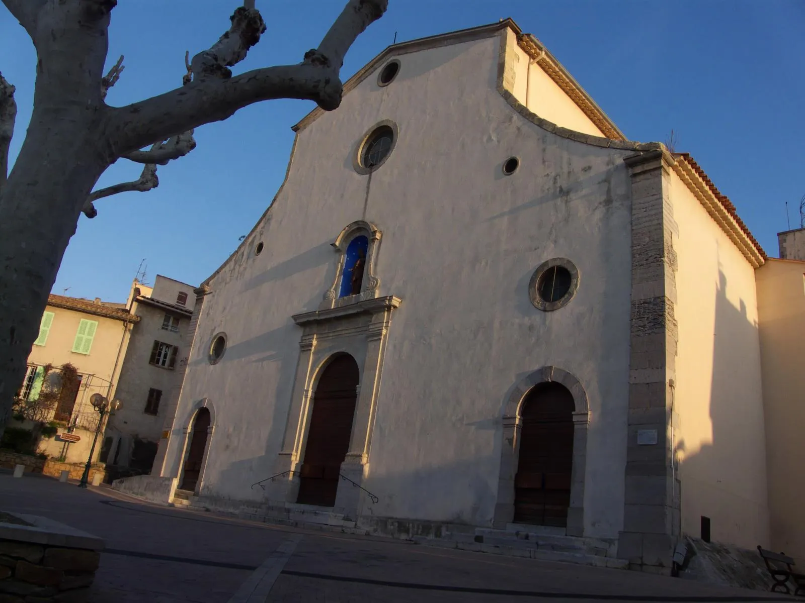
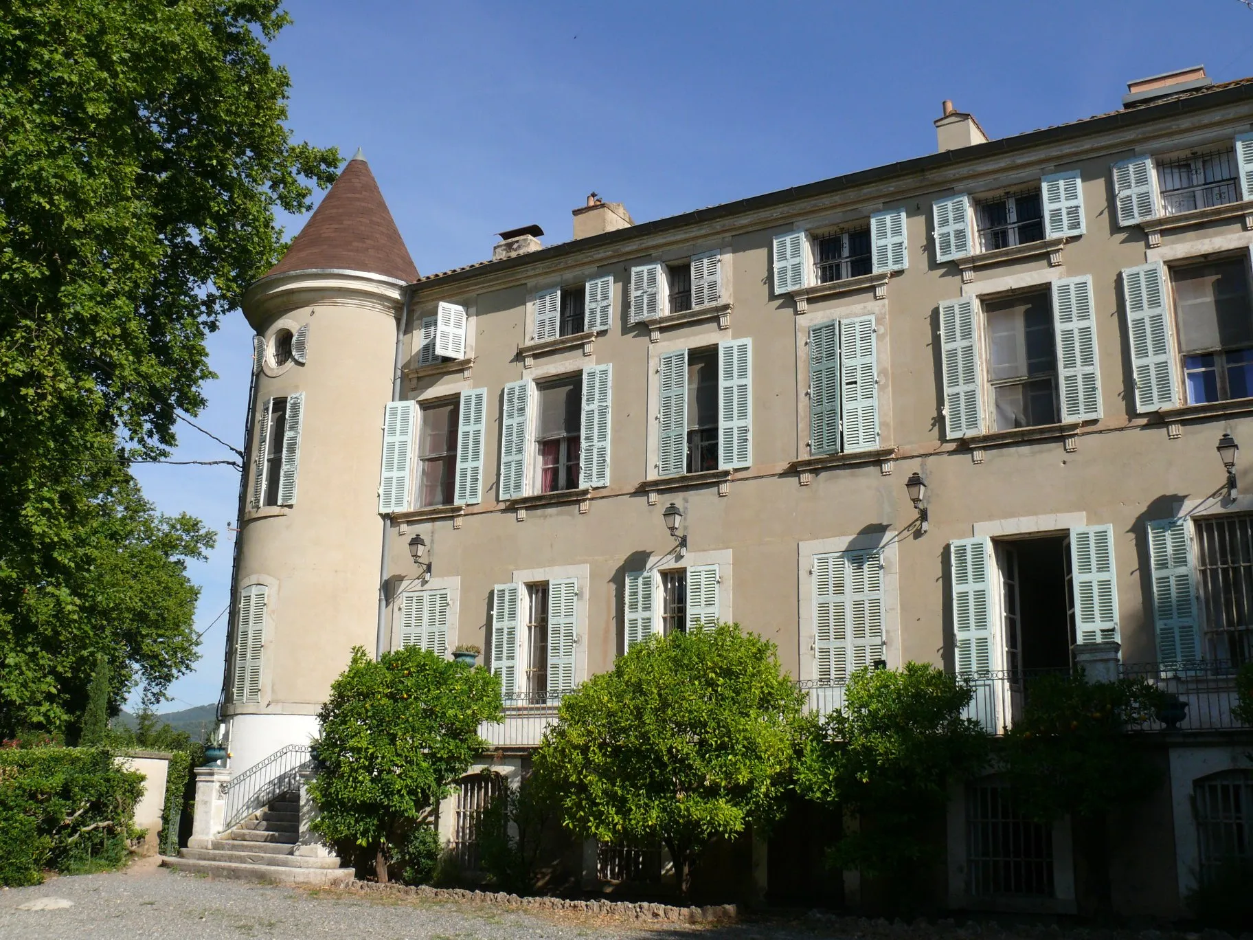
ÉvenosVillageÉvenos: Get lost in the narrow streets and historic charm of Évenos village, nestled in the mountains.
98 km
98 km
Mont Faron584 mPeakMont Faron: Reach the summit of Mont Faron and enjoy breathtaking panoramic views of the surrounding area.
100 km
100 km
La Valette-du-VarTownLa Valette-du-Var: Cycle through La Valette-du-Var, a charming town known for its vibrant cultural heritage.
110 km
110 km
Le Paradis298 mPeakLe Paradis: Start or end your journey in the captivating village of Le Paradis, filled with scenic beauty.
111 km
111 km
CarqueiranneVillageCarqueiranne: Finish the route in the coastal town of Carqueiranne, known for its picturesque harbor and charming Mediterranean atmosphere.
111 km
111 km
Finish: Carqueiranne Village centerCarqueiranne: Breathtaking coastal routes with iconic climb nearby - Mont Ventoux.
Cycling routes from Carqueiranne:
The Coastal Loop The Mountain Challenge Grand Tour of Provence-Alpes-Côte d’Azur The Scenic Loop Off-road Excursion in Provence-Alpes-Côte d’Azur Coastal Cycling Tour in Provence-Alpes-Côte d’Azur Gravel Adventure in Provence-Alpes-Côte d’Azur The Gravel Hike Provence-Alpes-Côte d’Azur Mountain Challenge La Garde and Beyond
Cycling routes nearby: