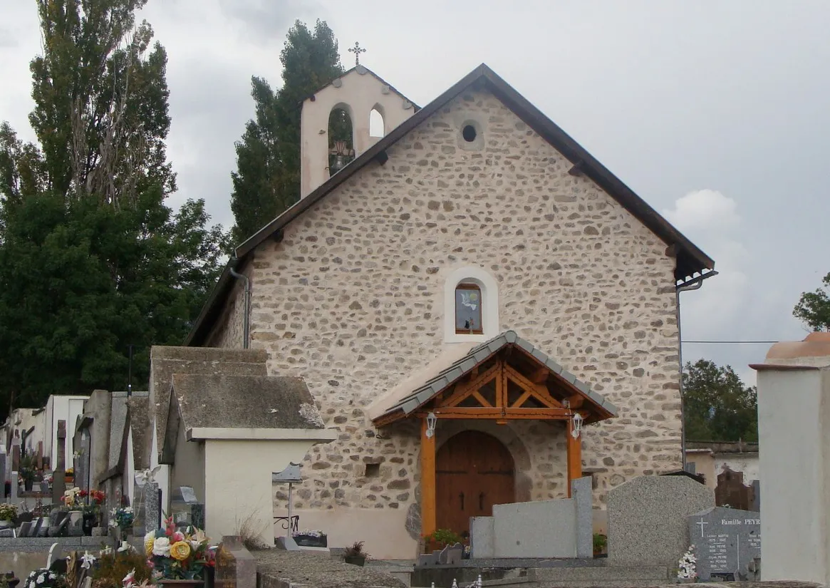
Conquer legendary climbs and embrace the beauty of the French Alps in Chorges, France.
Cycling routes from Chorges
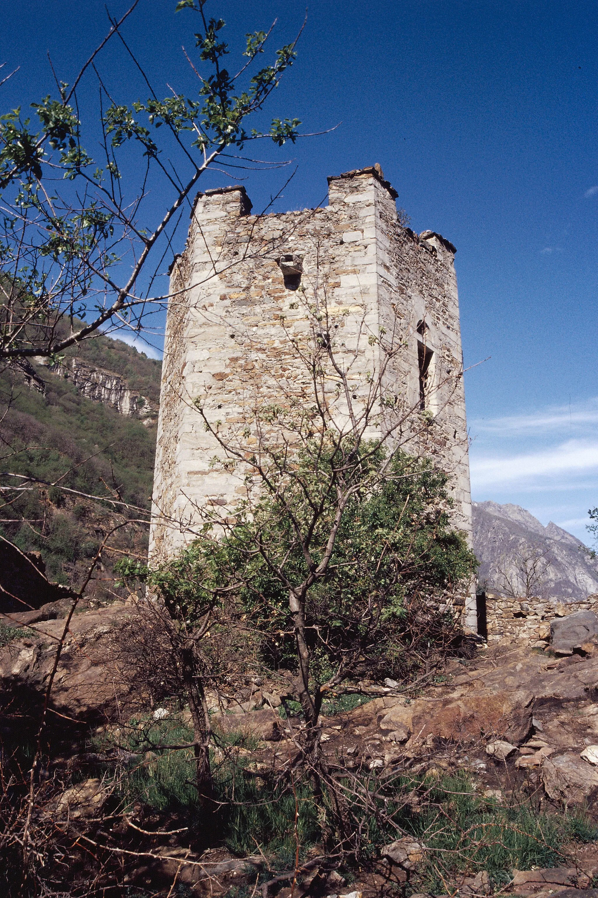
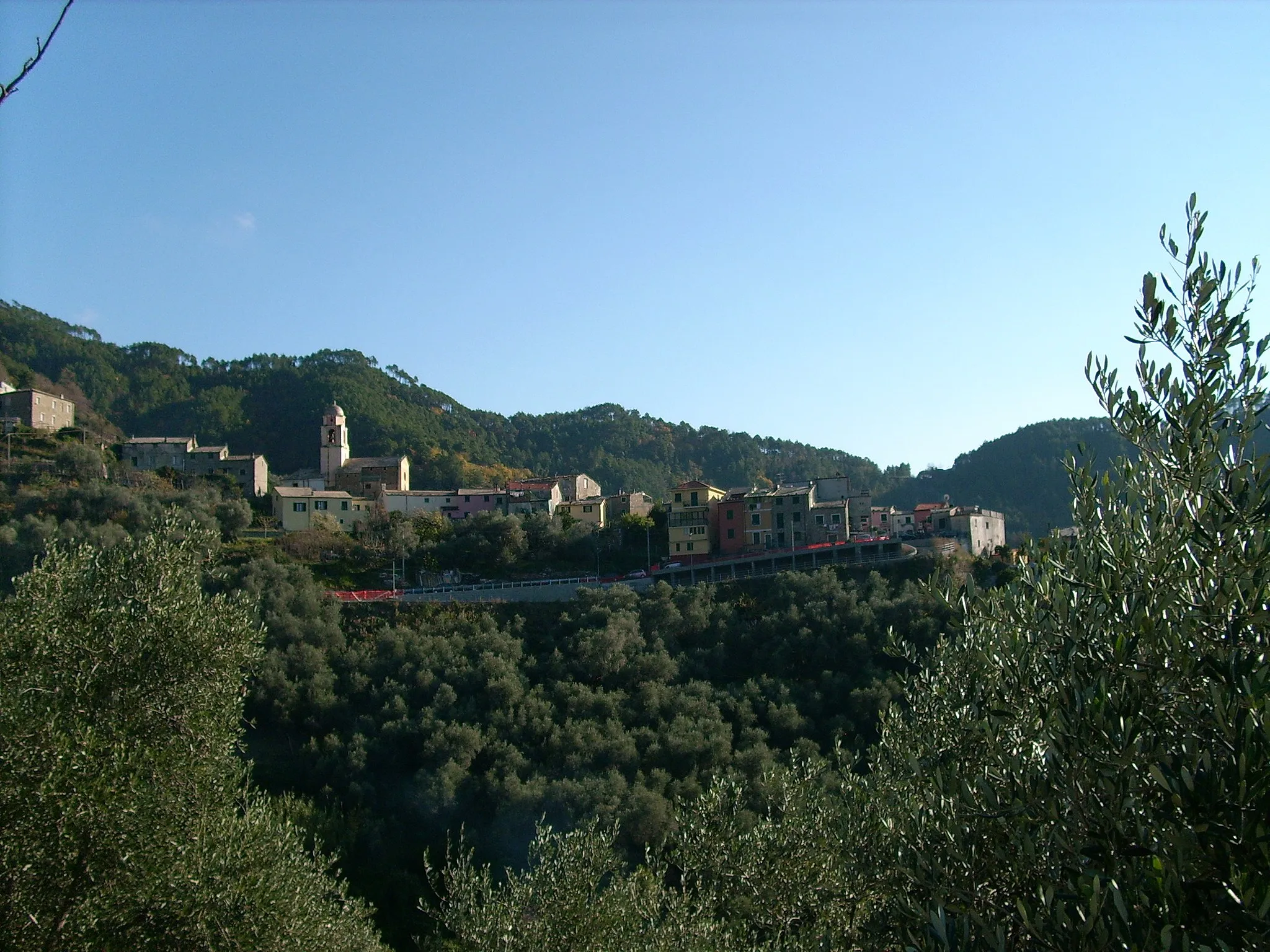
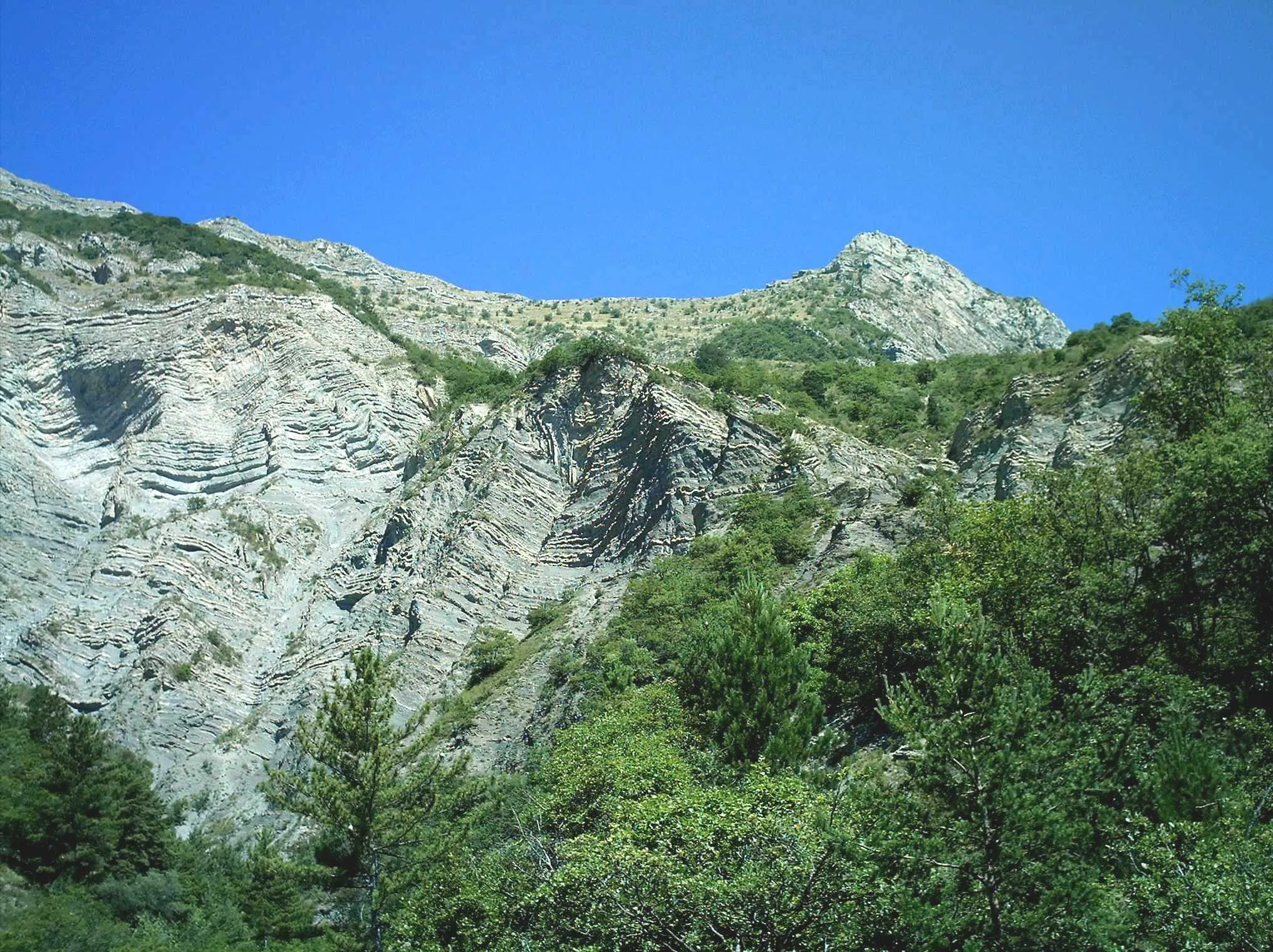
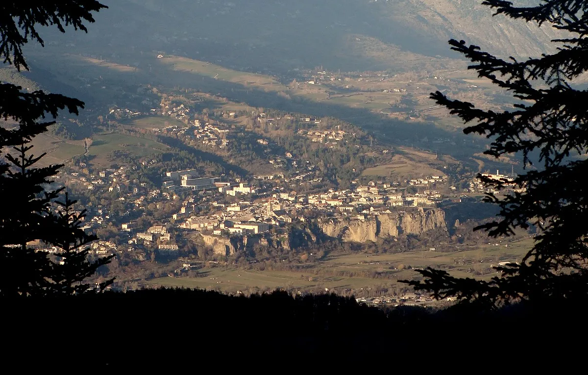
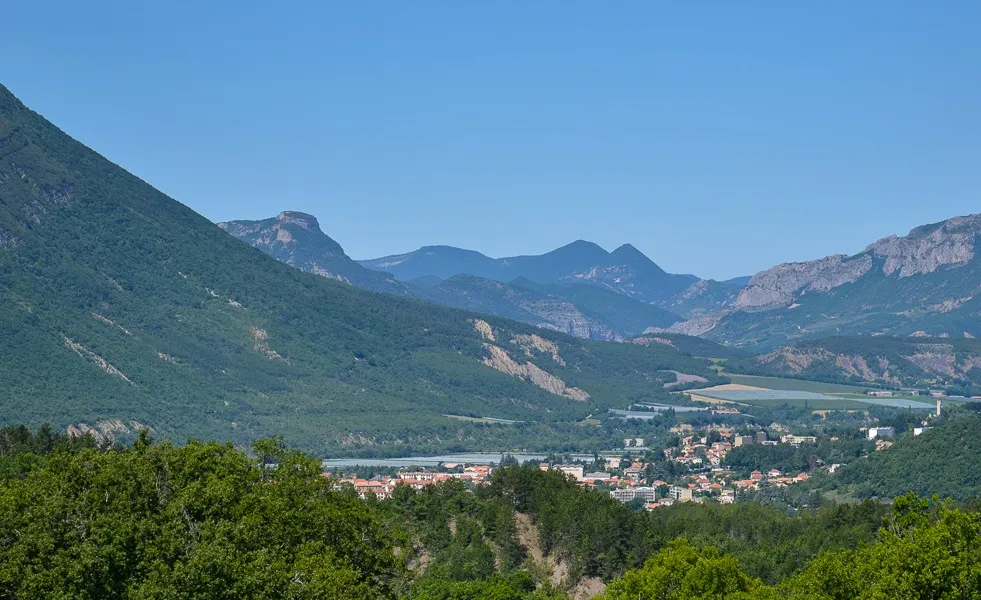
Chorges is a locality in Provence-Alpes-Côte d'Azur, France, renowned for its unparalleled cycling opportunities. The area offers a wide range of cycling routes, suitable for all levels of riders. Chorges is known as the gateway to the French Alps, giving cyclists access to legendary climbs such as Col de l'Izoard and Col du Galibier. The magnificent mountain scenery, picturesque villages dotted along the routes, and challenging climbs make Chorges a haven for professional and recreational cyclists alike. Overall, Chorges is a world-class cycling destination that guarantees memorable rides and unrivaled natural beauty.
Ride through the stunning Pra Périer and Saint-Jean des Crots on this gravel loop near Chorges.
This scenic gravel route takes you through picturesque villages and offers breathtaking views of Provence-Alpes-Côte d’Azur. With an ascent of 1850 meters and a distance of 62 kilometers, this loop is suitable for well-trained amateurs. The epicness level is rated 3, as while the climb is challenging, it does not feature any legendary spots. A highlight along the route is Les Combettes, located at kilometer 47, where you can stop to explore the natural beauty of the area and enjoy the peaceful surroundings.

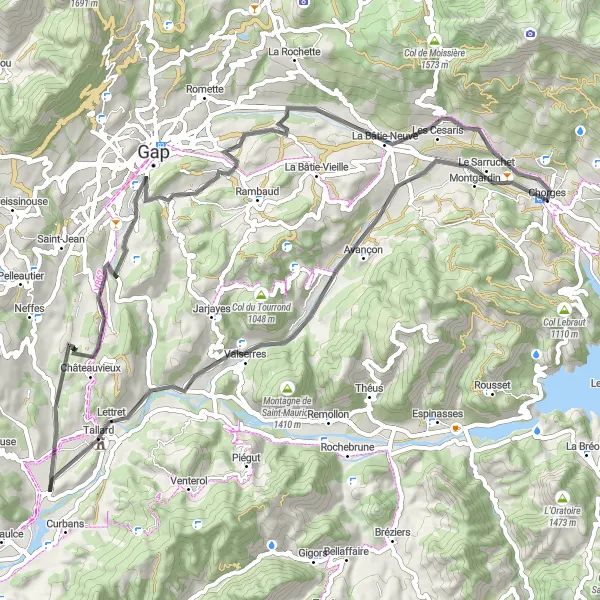
Embark on an adventurous gravel loop near Chorges, passing through rural landscapes and charming villages.
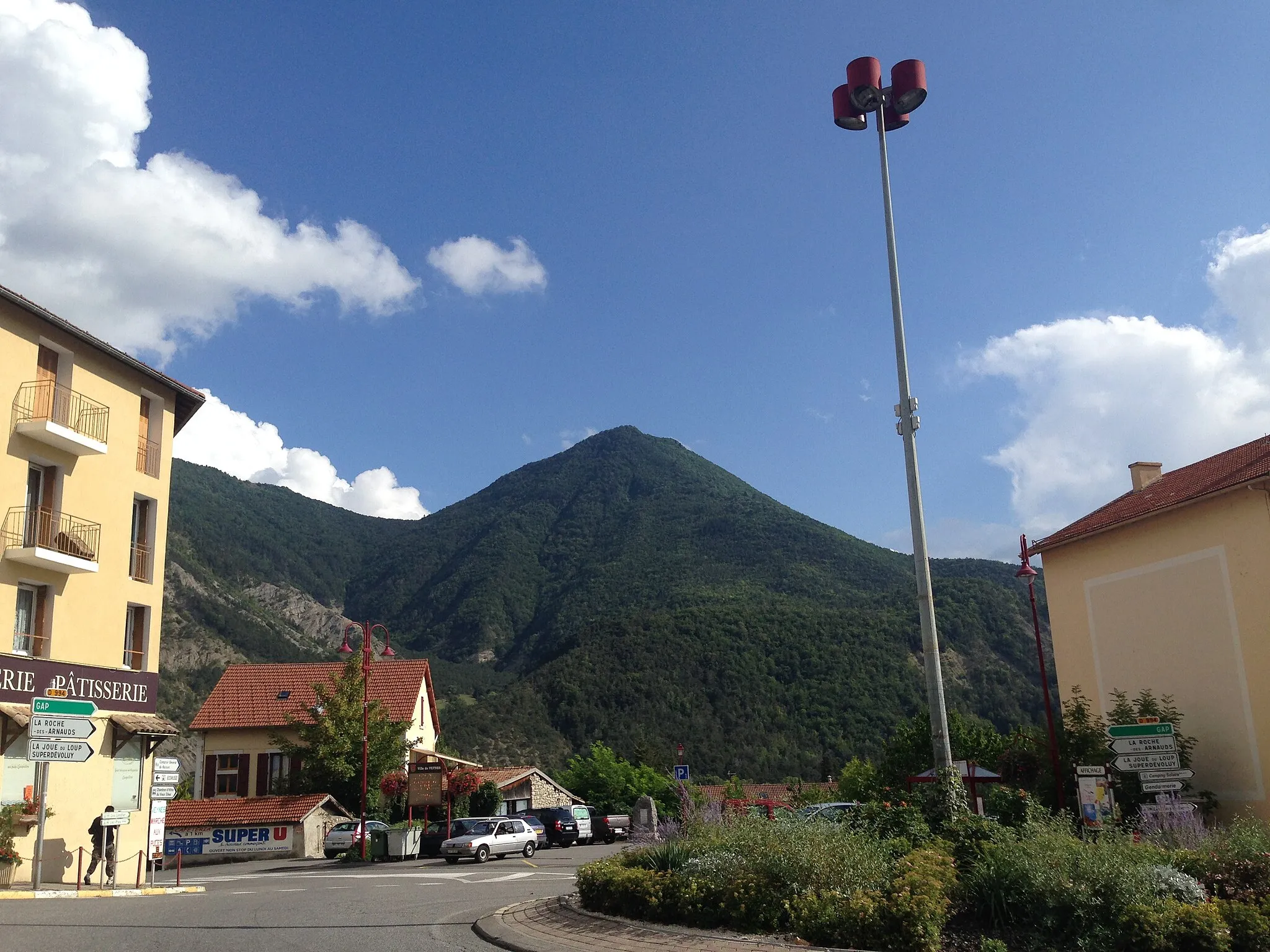
This moderate gravel loop stretches for 52 kilometers with an ascent of 665 meters. Suitable for cyclists of intermediate level, it offers a mix of serene countryside views and cultural sights along the way. The route's epicness level is 2, as it does not include any famous or legendary spots. One of the highlights along the route is Gap, located at kilometer 17. Explore the vibrant town, known for its lively atmosphere and beautiful architecture, including the historic Gap Cathedral.

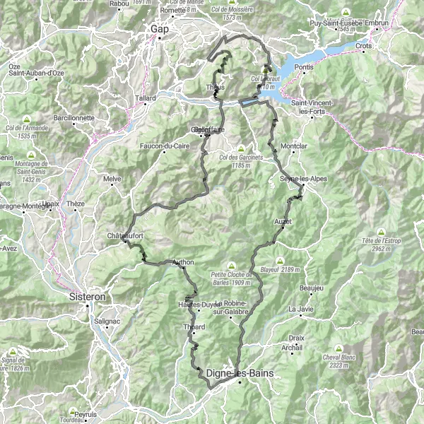
Embark on an unforgettable gravel cycling journey through the stunning landscapes of Hautes-Alpes
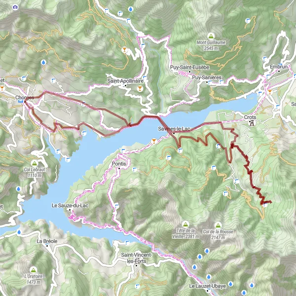
Get ready for a challenging gravel adventure in Hautes-Alpes. This epic round-trip route starts in Chorges and takes you through the magnificent scenery of Le Grand Châtelard, Espinasses, La Bréole, Col Saint-Jean, Col du Fanget, Auzet, Bréziers, Les Celliers, and Col Lebraut. With a total ascent of 3941m and a distance of 120km, this route is perfect for experienced gravel cyclists seeking a thrilling and scenic ride.
Gravel Adventure in Chorges

Experience the rugged beauty of Chorges by gravel biking
Embark on an epic gravel adventure through the scenic landscapes near Chorges in Provence-Alpes-Côte d’Azur, France. This 52 km long route is perfect for well-trained amateurs seeking a challenging ride. With a total ascent of 1685 meters, you'll be rewarded with breathtaking views and thrilling descents.
Experience the beauty of Hautes-Alpes on this thrilling road cycling loop
Get ready for a road cycling adventure through the stunning landscapes of Hautes-Alpes. This round-trip route starting in Chorges takes you through the scenic beauty of Châteauroux-les-Alpes, Plan de Phazy, La Butte, Vars, Col de Vars, Le Péouvou de Serenne, La Condamine-Châtelard, Barcelonnette, Roche Courbe, Le Lauzet-Ubaye, La Gineste, Belvédère de Pierre-Arnoux, and back to Chorges. With a total ascent of 3559m and a distance of 159km, this route is perfect for road cycling enthusiasts seeking a mix of challenging climbs and breathtaking views.
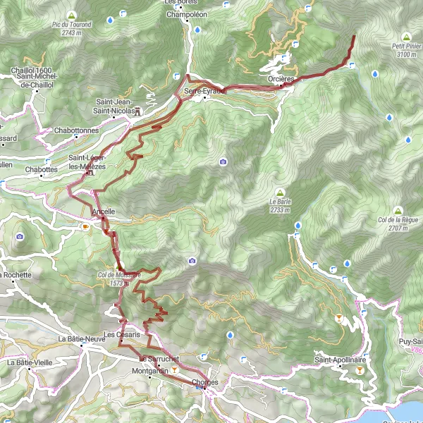
Discover the hidden gems of Hautes-Alpes on this epic gravel cycling route
This gravel adventure takes you through the stunning landscapes of Hautes-Alpes, with challenging ascents and unique highlights along the way. Starting in Chorges, you'll pass through L'Arche, Saint-Léger-les-Mélèzes, Le Paravar, Orcières, Ancelle, Col de Moissière, and Montgardin. With a total ascent of 2957m and a distance of 85km, this route is perfect for gravel enthusiasts looking for a thrilling and picturesque ride.

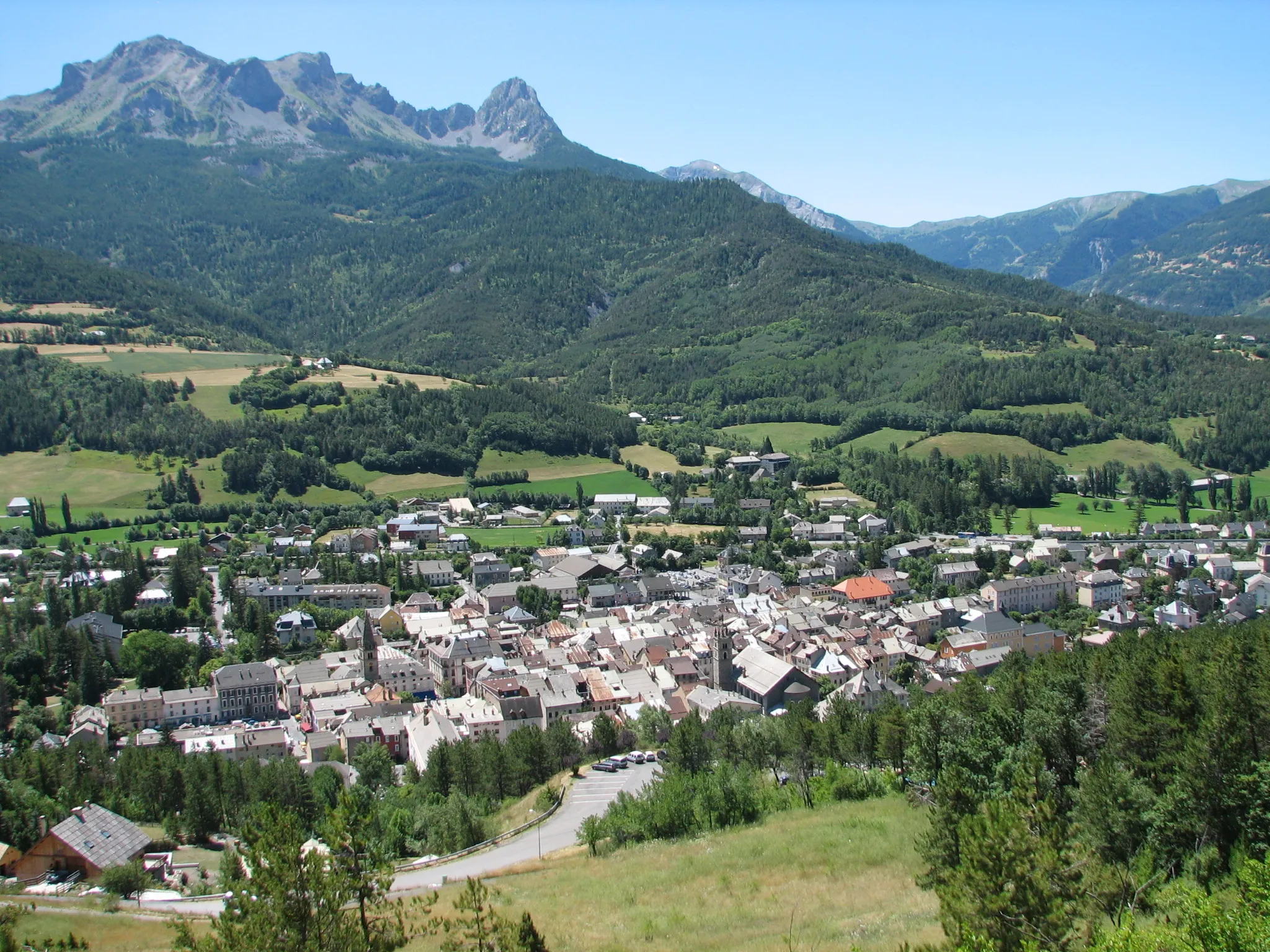
Embark on a challenging road loop from Chorges to Serre Cocu, passing through iconic sites such as Fort Saint-Vincent and Gorges de la Blanche.
This demanding road route covers a distance of 99 kilometers with an ascent of 2308 meters, making it suitable for experienced cyclists. The epicness level is rated 4, as it includes famous climbs and scenic spots. Enjoy panoramic views of the Alps as you conquer the challenging terrain. The highlight of this route is Gorges de la Blanche, located at kilometer 79. Make sure to take a moment to appreciate the stunning natural beauty of the gorge, with its towering cliffs and crystal-clear waters.
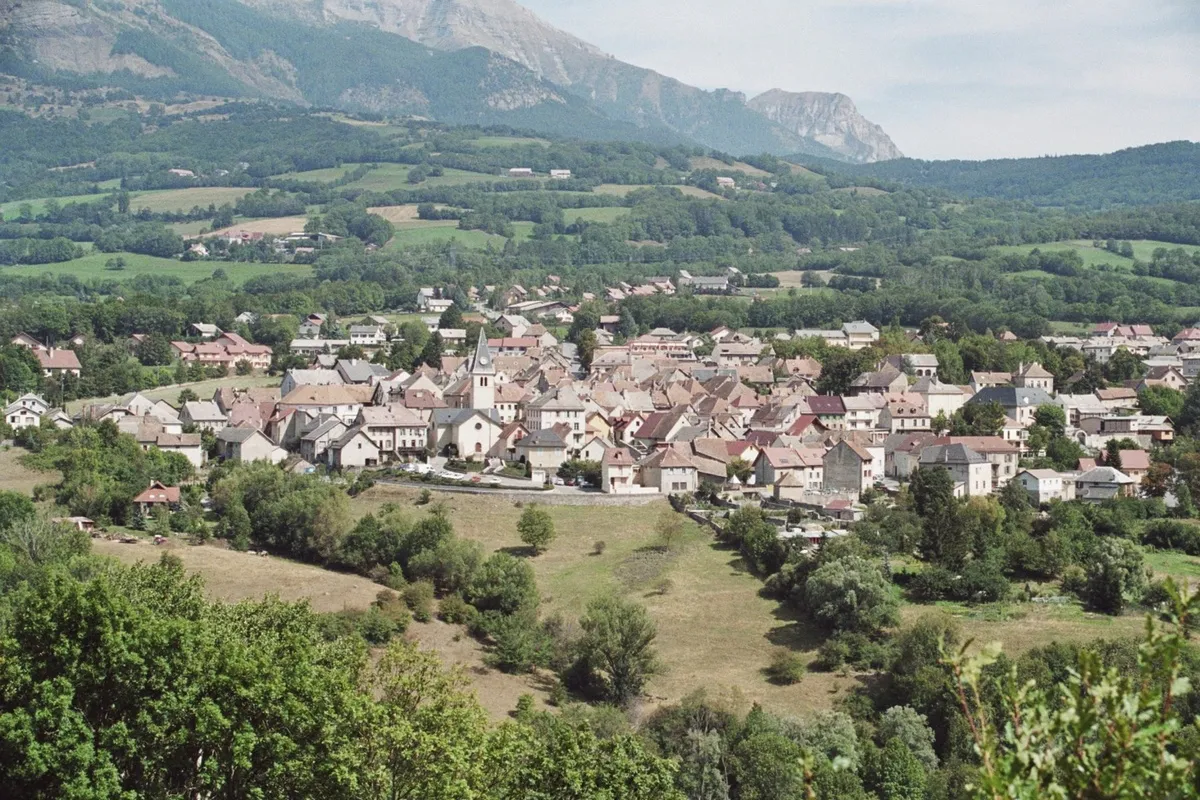
Cycle from Chorges to Montgardin and explore the picturesque countryside dotted with traditional Provençal villages.
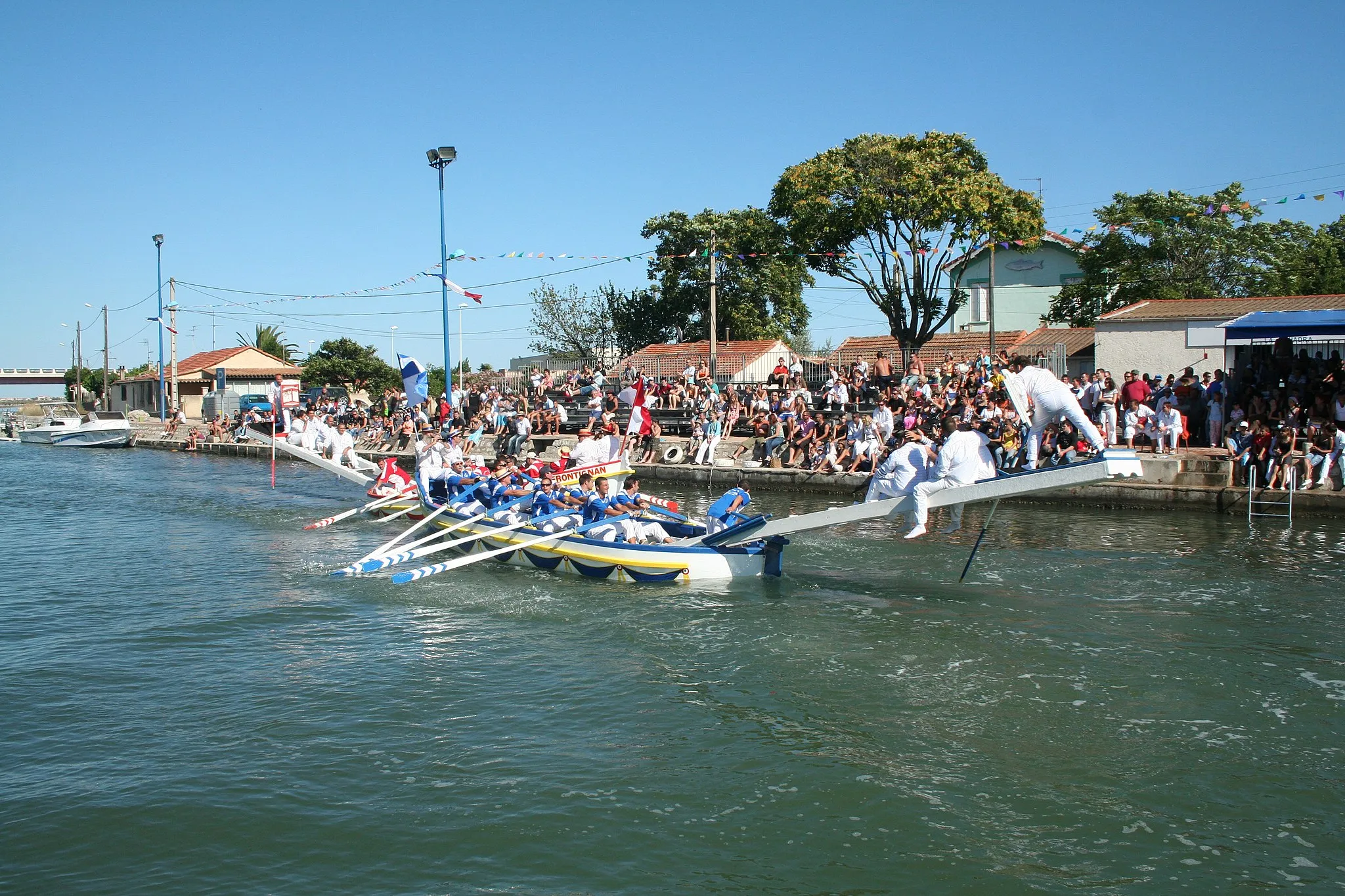
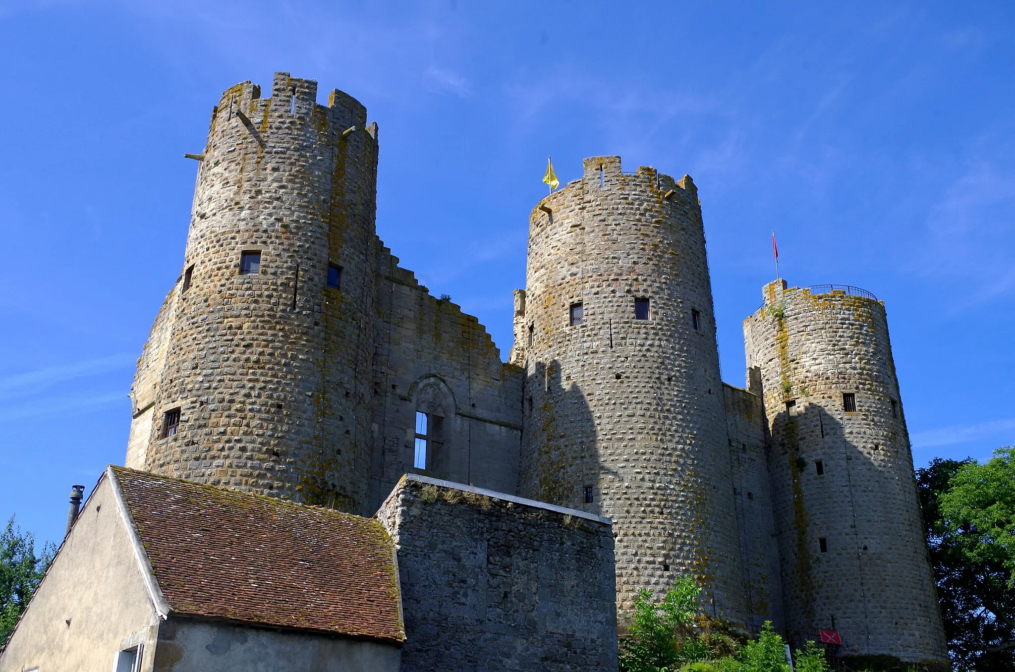
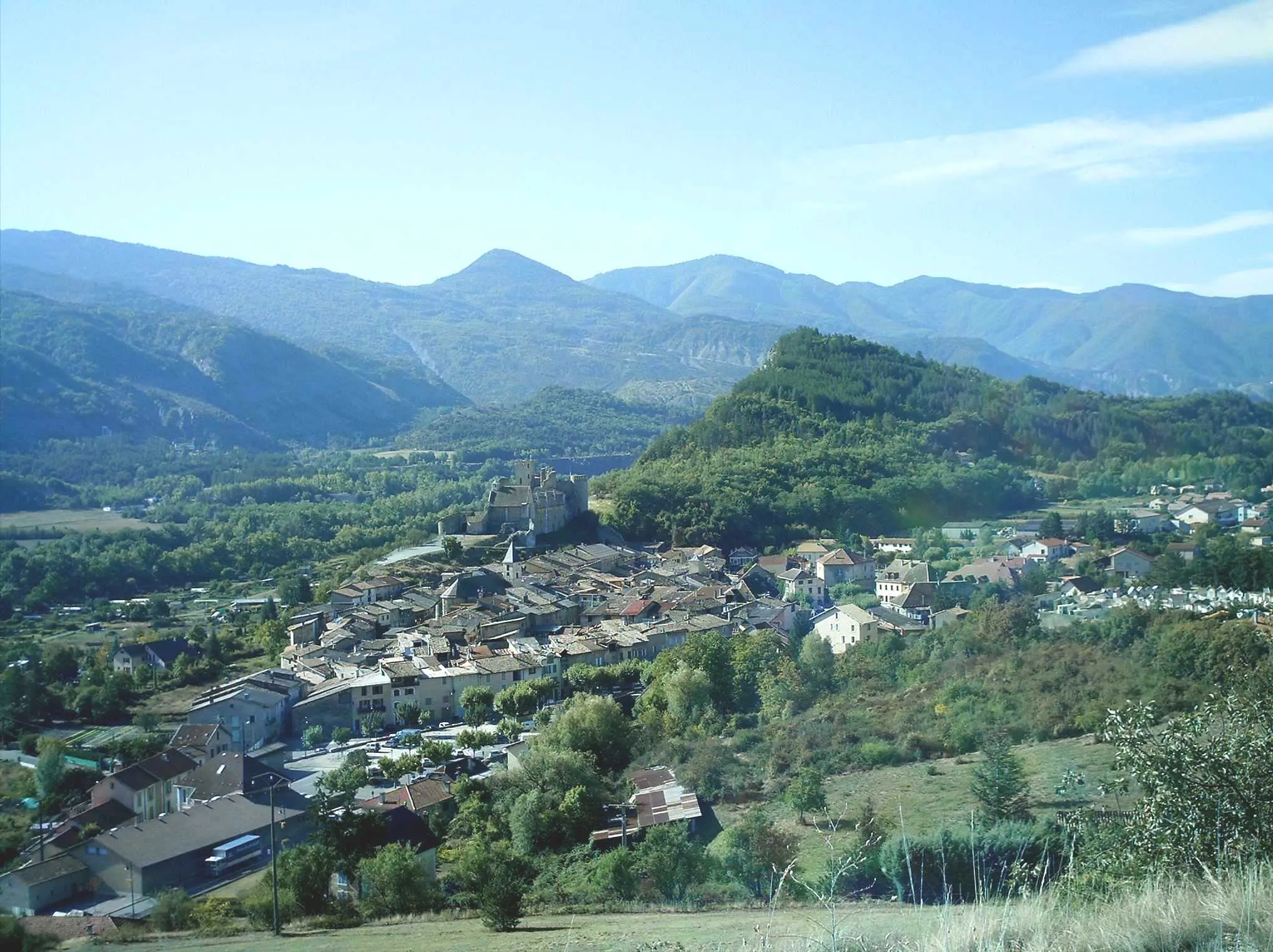
This accessible road loop covers a distance of 66 kilometers with an ascent of 809 meters. Suitable for cyclists of all levels, it features gentle climbs and scenic countryside views. The epicness level is rated 2, as it does not include any famous cycling spots or legendary climbs. One of the highlights along this route is Tallard, located at kilometer 43. This charming village is known for its well-preserved historic center and picturesque streets. Take some time to wander through the village, visit the stunning Château de Tallard, and enjoy the views of the Durance River.
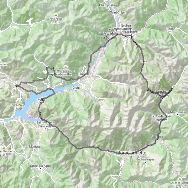
Embark on a legendary road cycling adventure through the challenging climbs of the French Alps
Prepare for an unforgettable road cycling journey through the French Alps. This epic round-trip route starts in Chorges and takes you through some of the most challenging climbs in the region, including Col Lebraut, La Bréole, Col des Fillys, Col du Fanget, Auzet, Clue de Barles, Panorama Velodrome Esclangon, Dalle aux Ammonites, Champtercier, Col de Peipin, Col de Fontbelle, Authon, Clamensane, Bayons, Col des Sagnes, Théus, and Montgardin. With a total ascent of 5193m and a distance of 201km, this route is perfect for experienced road cyclists craving a true alpine adventure.

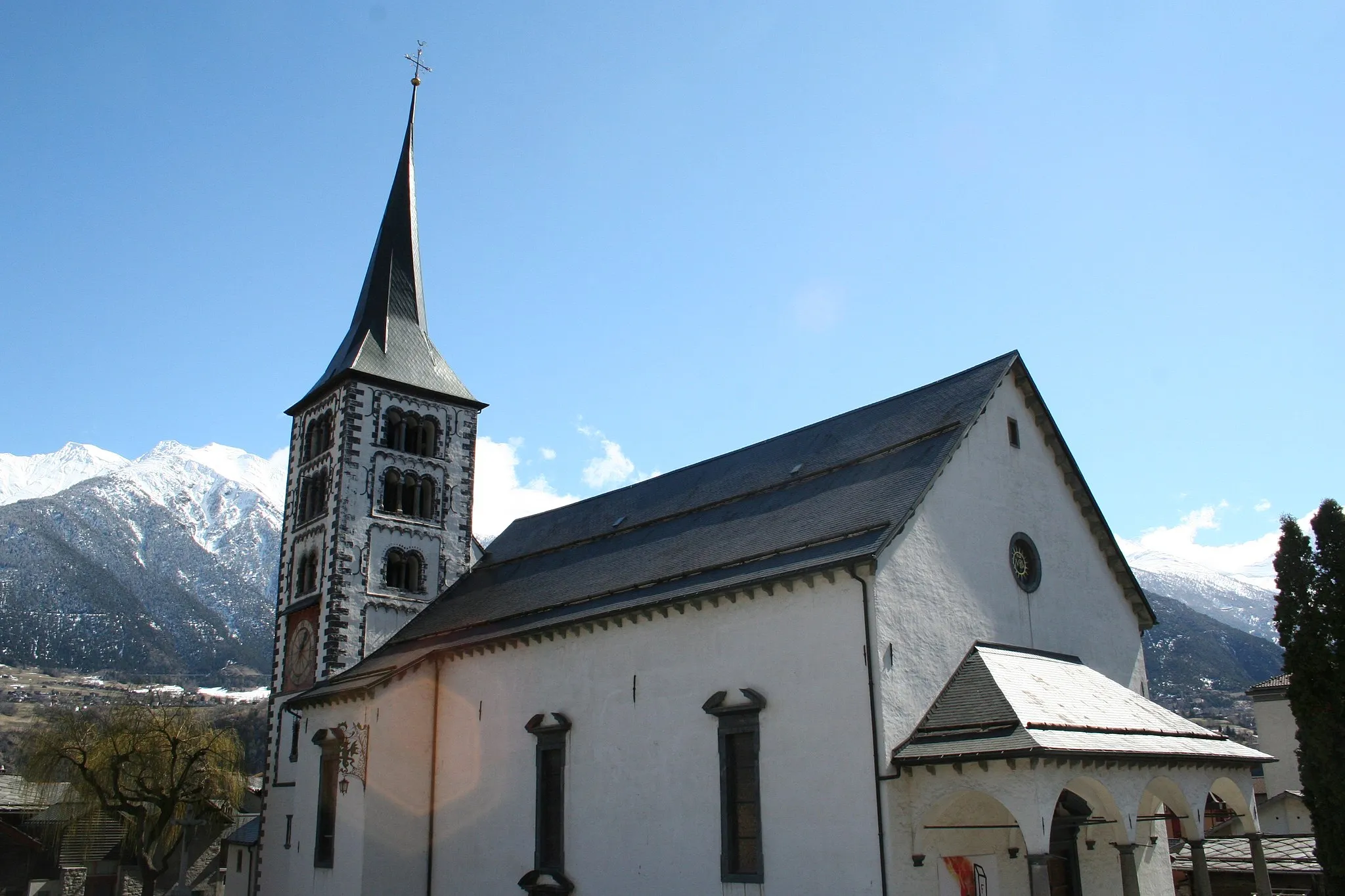
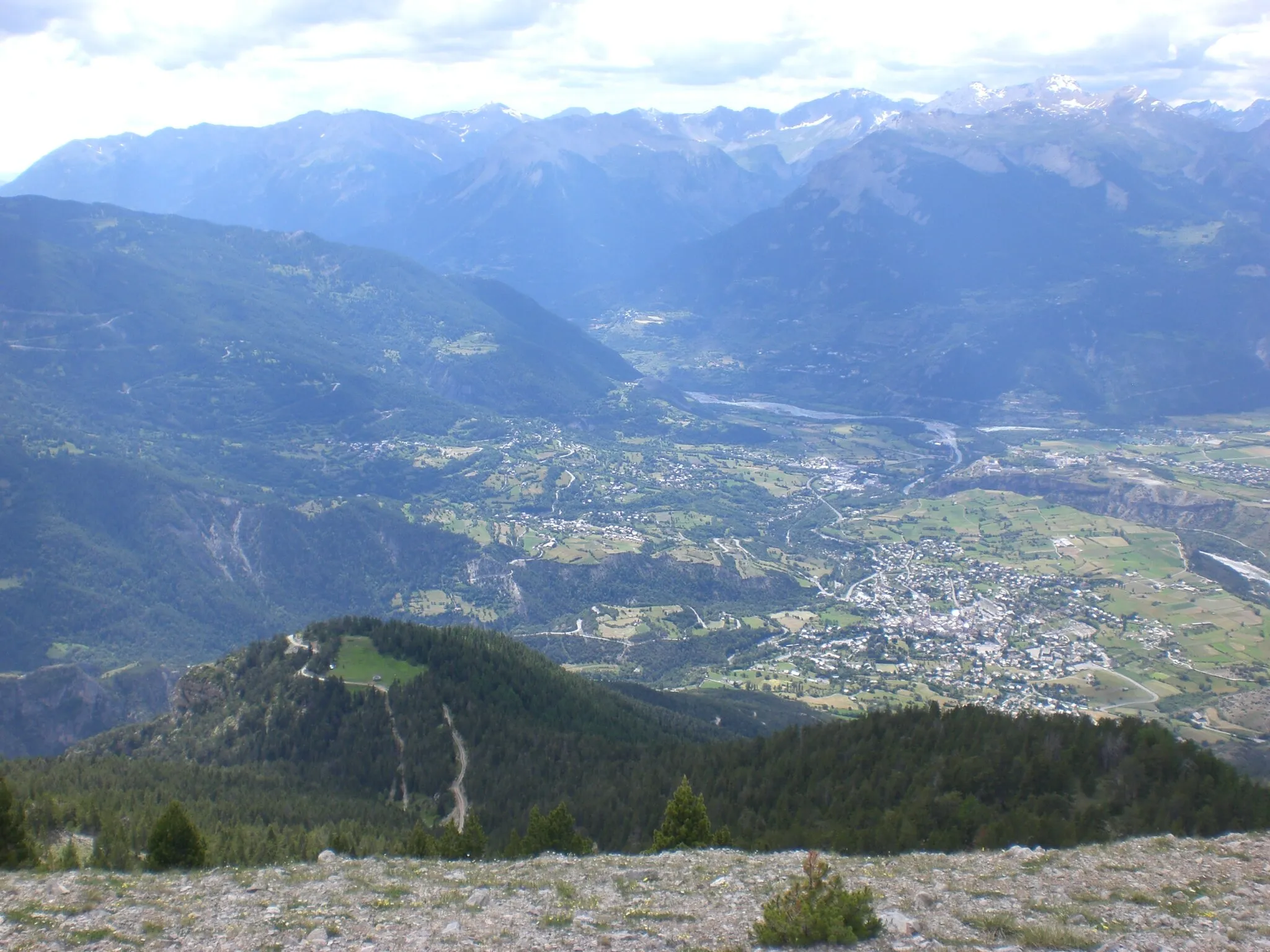
Cycle from Chorges to Embrun and explore the historic town, passing through picturesque villages along the way.
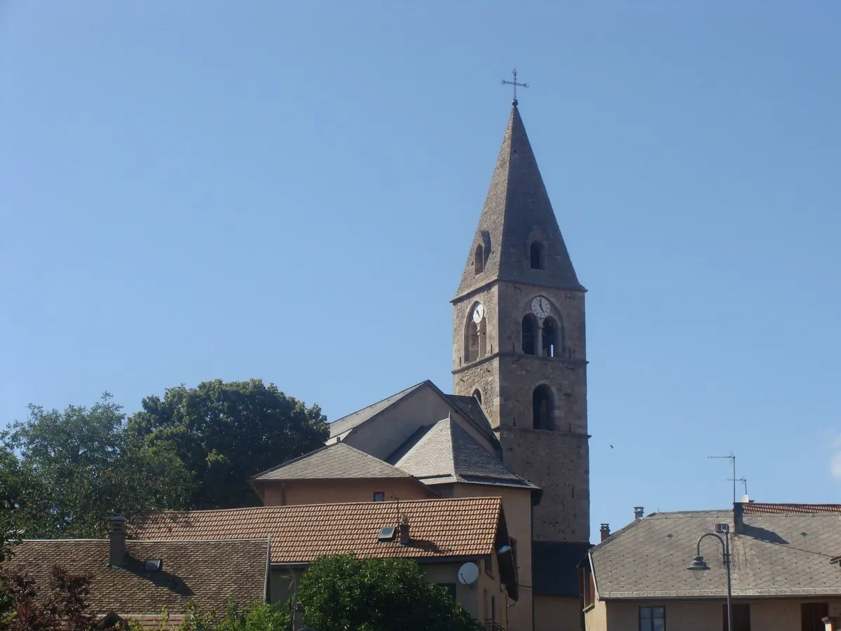
This intermediate road loop covers a distance of 62 kilometers with an ascent of 1052 meters. Suitable for moderately trained cyclists, it offers a mix of challenging climbs and scenic views. The epicness level is rated 2, as there are no legendary climbs or famous spots along the route. An interesting highlight of the route is Saint-André-d'Embrun, located at kilometer 27. This charming village showcases medieval architecture and offers a glimpse into the rich history of the region. Make sure to explore its narrow streets and visit the historic Saint-André Church.
Cycling routes nearby:
Nearby regions: