Conquer the iconic mountain passes of Guillestre.
Cycling routes from Guillestre
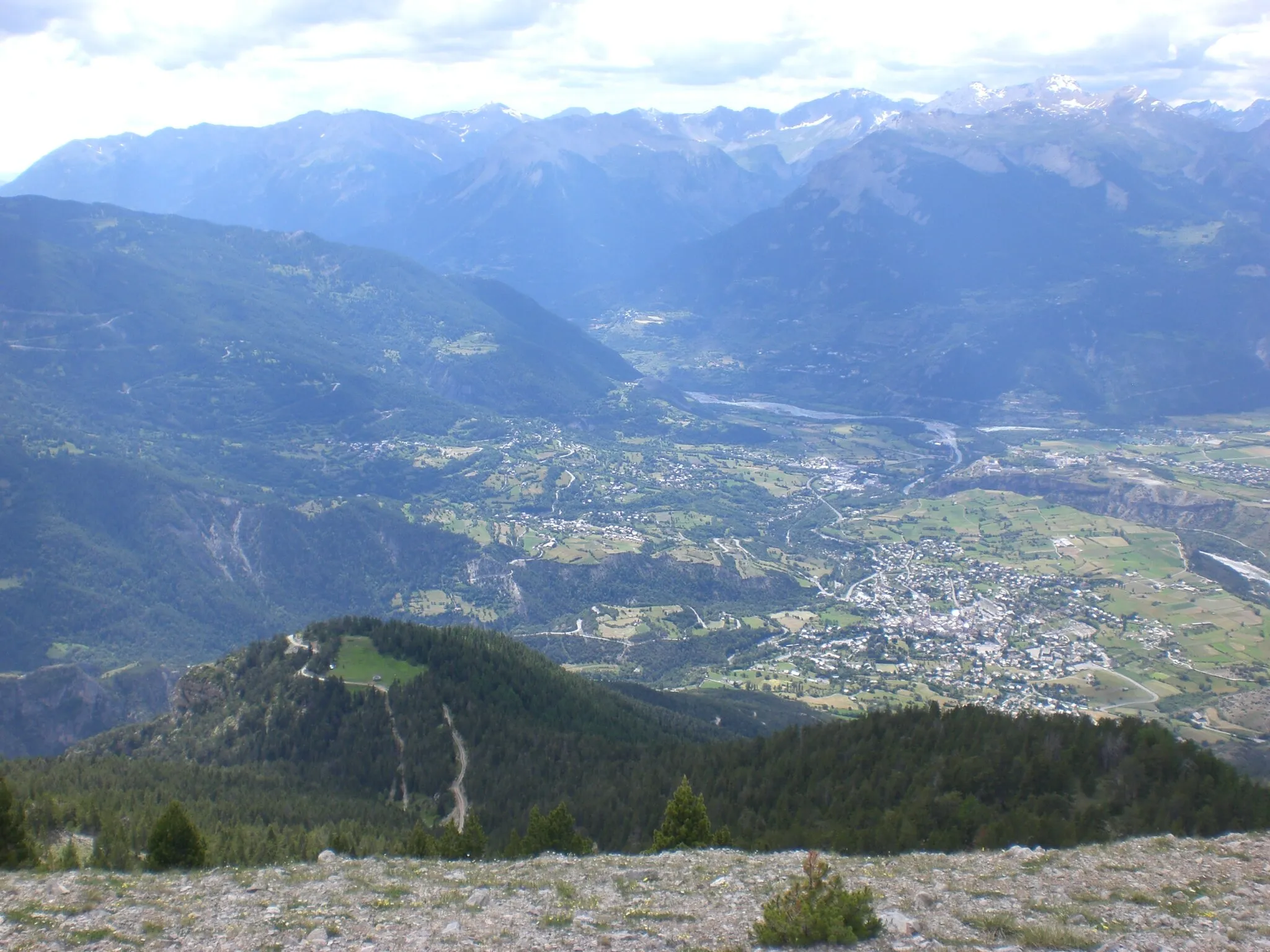
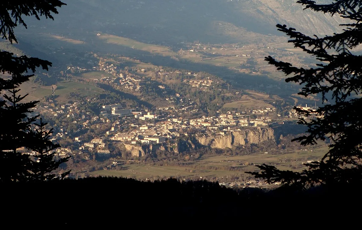
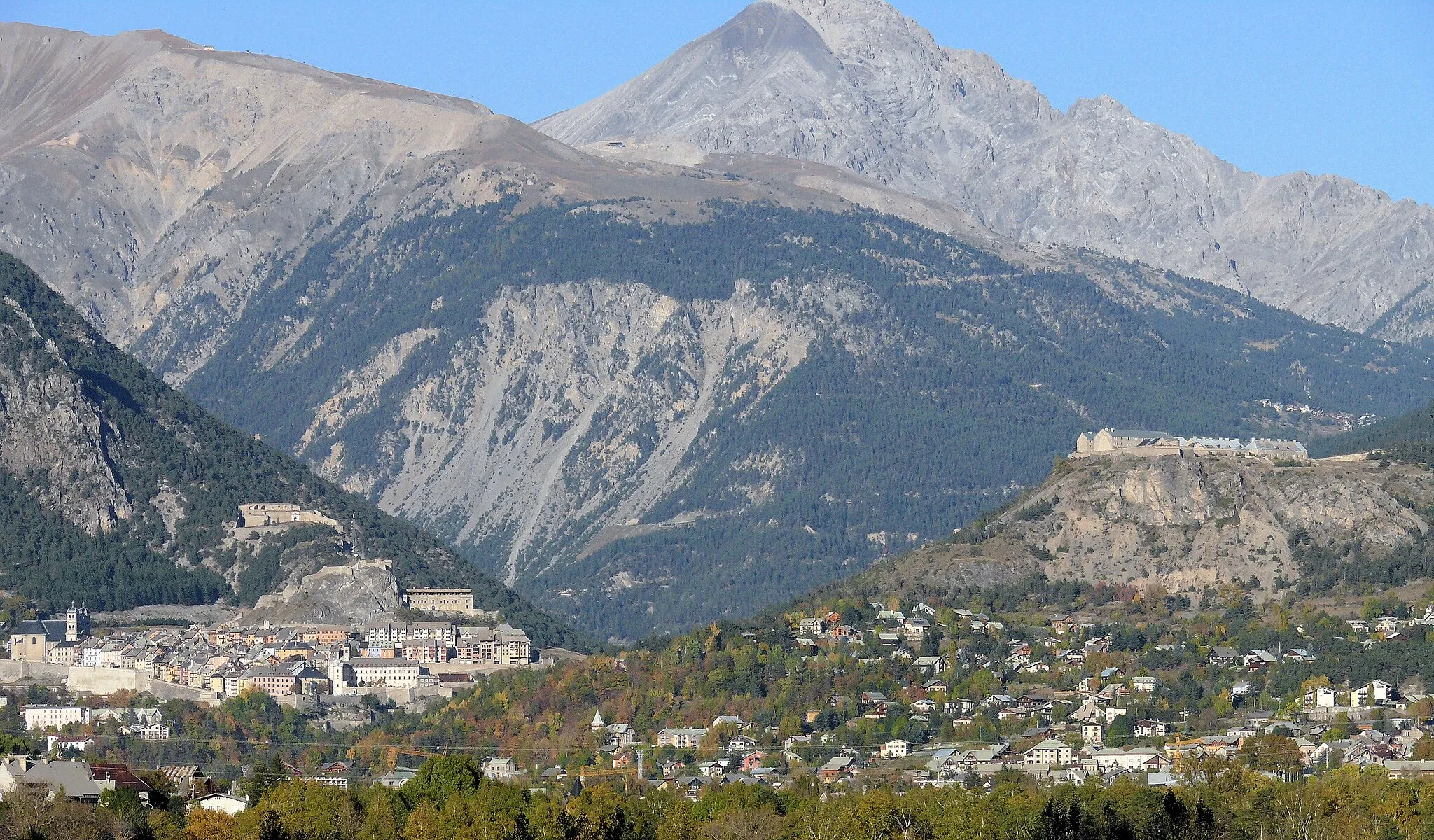
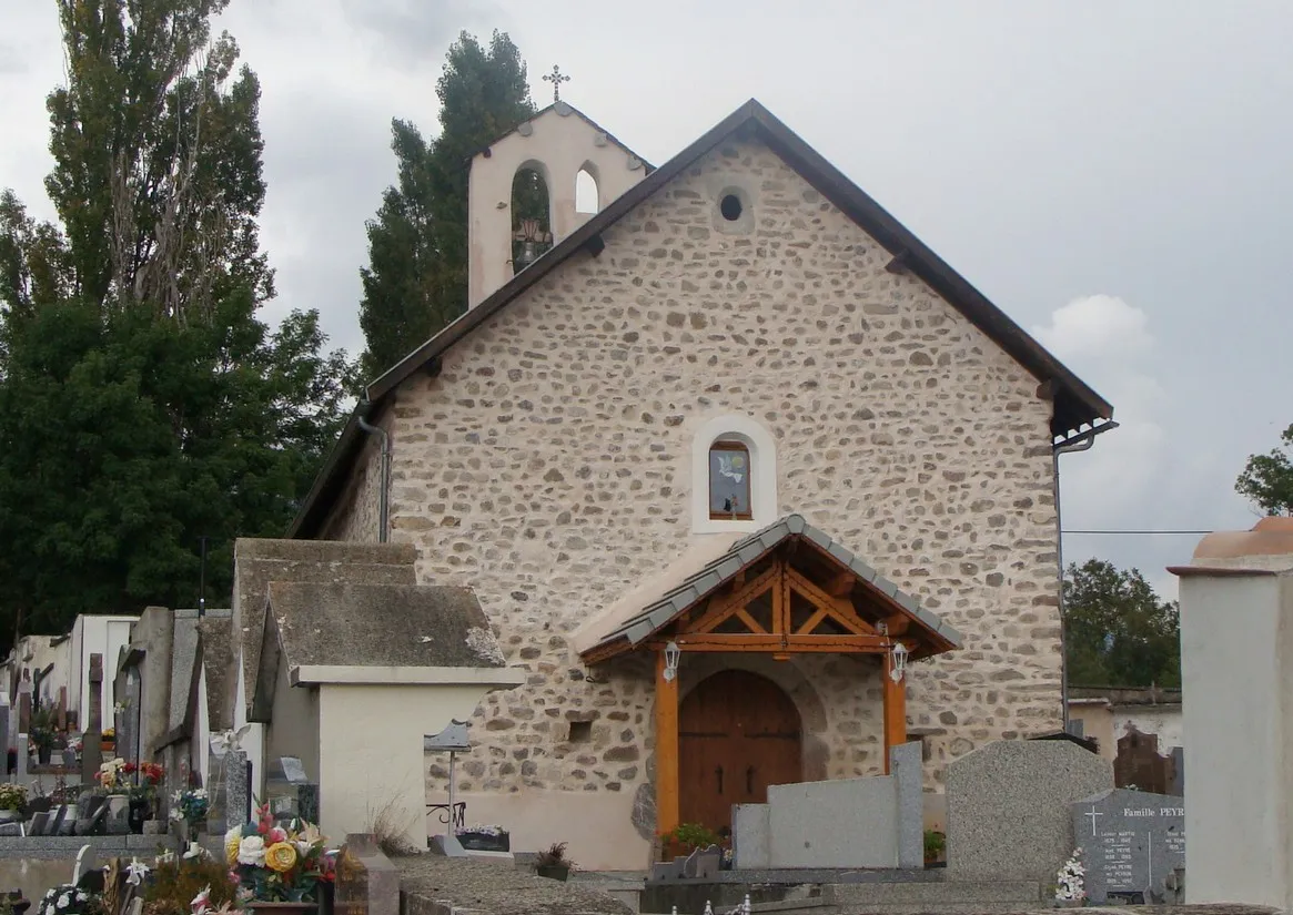
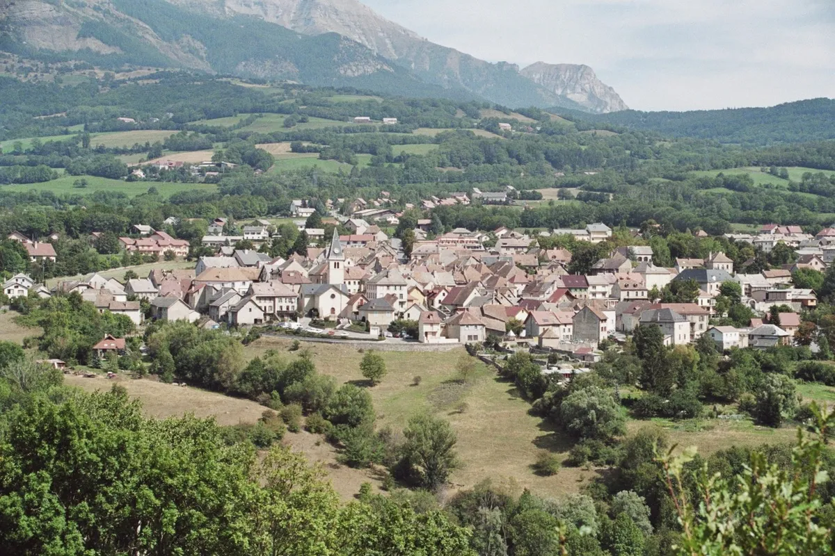
Guillestre is a locality in the Provence-Alpes-Côte d’Azur region of France. It is a popular destination for road and gravel cyclists, offering breathtaking mountain scenery and challenging routes. Cyclists can tackle legendary climbs, such as the Col d'Izoard and Col de Vars, which are part of the Tour de France. Guillestre is located in the heart of the French Alps, making it an ideal base for exploring renowned cycling spots like the Col du Galibier and the Col du Mont Ventoux. With its stunning landscapes and famous climbs, Guillestre is a must-visit for avid cyclists.
Experience the stunning landscapes of Queyras and conquer the legendary Col d'Izoard.
The Tour de Queyras is a challenging cycling route that takes you through the beautiful landscapes of Queyras in the Provence-Alpes-Côte d’Azur region. Starting near Guillestre, this 84 km road route offers sweeping views and challenging climbs. The highlight of the route is the legendary Col d'Izoard, which provides a thrilling ascent. With a total ascent of 2,546 meters, this route is best suited for well-trained cyclists. The difficulty level is 4 out of 5, making it a challenging ride for amateur cyclists. The epicness of this route is rated 4 out of 5, thanks to the breathtaking scenery and the famous Col d'Izoard.
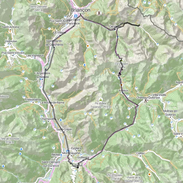
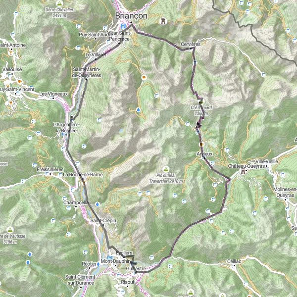
A challenging road cycling route with stunning highlights
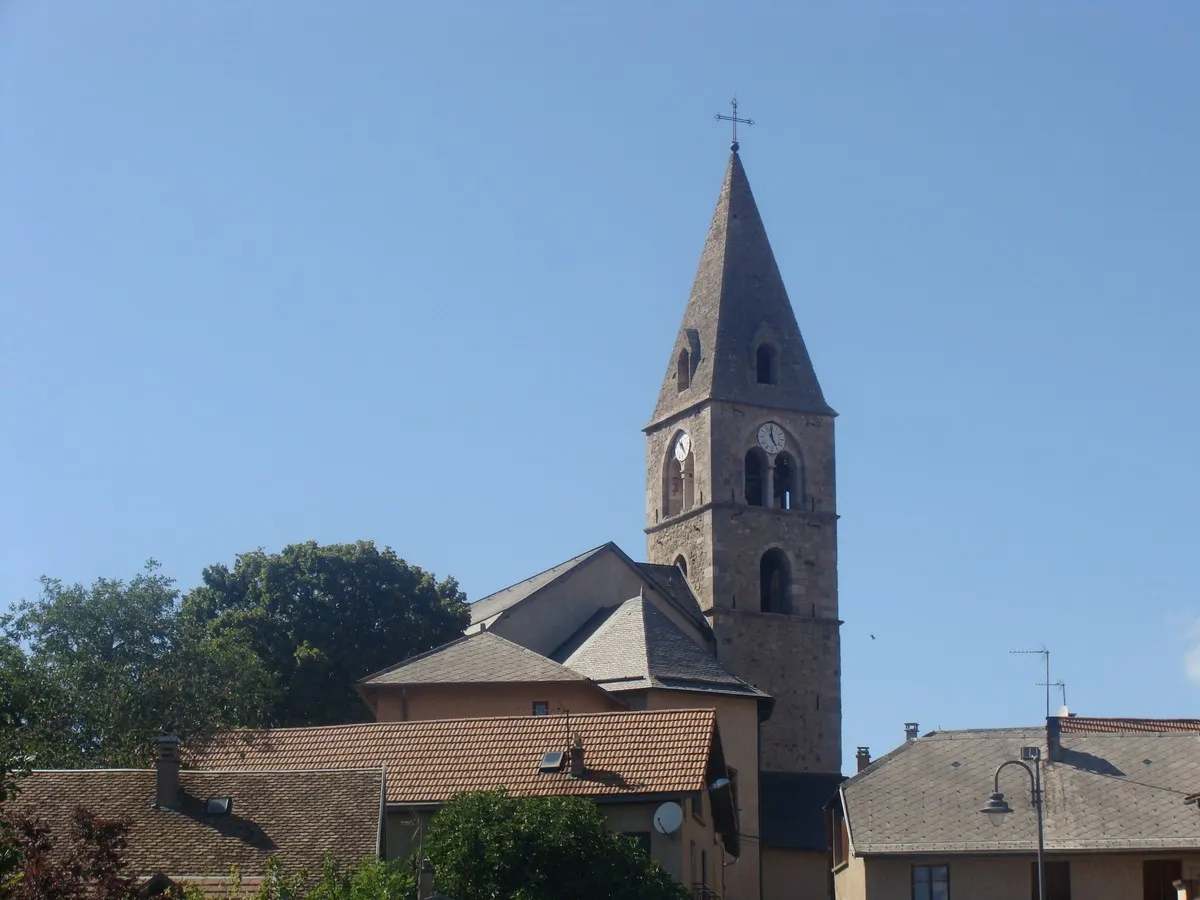
Explore the beautiful region near Guillestre on this challenging road cycling route. With a total ascent of 2,792 meters and a distance of 98 kilometers, this route promises breathtaking landscapes and an unforgettable cycling experience. Discover the charming village of Echauguette, enjoy the scenic views from Saint-Crépin, and immerse yourself in the rich history of Villar-Saint-Pancrace. Along the way, you'll also come across the iconic Col d'Izoard, a famous spot for professional cyclists. Experience the beauty of La Chalp and take in the panoramic views from Rocher de l'Aigle. Finally, return to Guillestre, a picturesque town surrounded by mountains.
Alpine Gravel Adventure
Embark on an exhilarating gravel adventure through the alpine landscapes
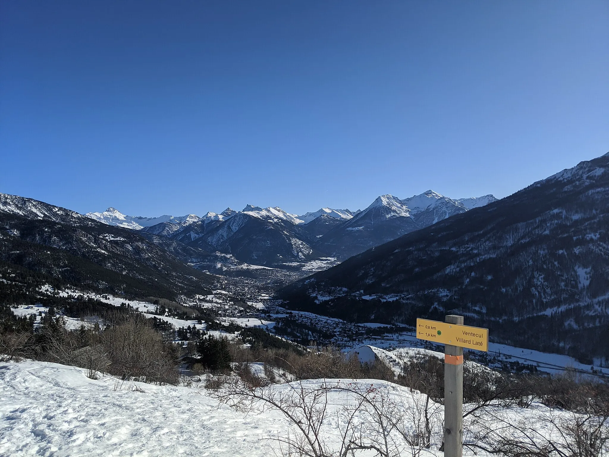
This exhilarating gravel adventure takes you through the alpine landscapes of Provence-Alpes-Côte d’Azur. With a total ascent of 1,954m and a distance of 45km, this route is suitable for experienced gravel cyclists. The highlights along the route include Peyre Haute, a picturesque village at the 2km mark; Vars, a popular ski resort at 12km; Ruine, an ancient ruin at 24km; col de Valbelle, a challenging climb at 28km; and Risoul, a charming alpine village at 43km.
Scenic Route to Embrun
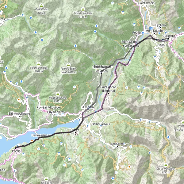
Discover the beauty of Embrun while cycling through scenic routes.
Experience the beauty of Embrun with this 70 km road route that starts near Guillestre. Known for its stunning landscapes, this route offers a mix of challenging climbs and scenic descents. With a total ascent of 1,031 meters, this route is suitable for well-trained amateur cyclists. The difficulty level is 3 out of 5, making it a moderately challenging ride. The epicness of this route is rated 3 out of 5, thanks to its scenic surroundings and the charming town of Embrun.
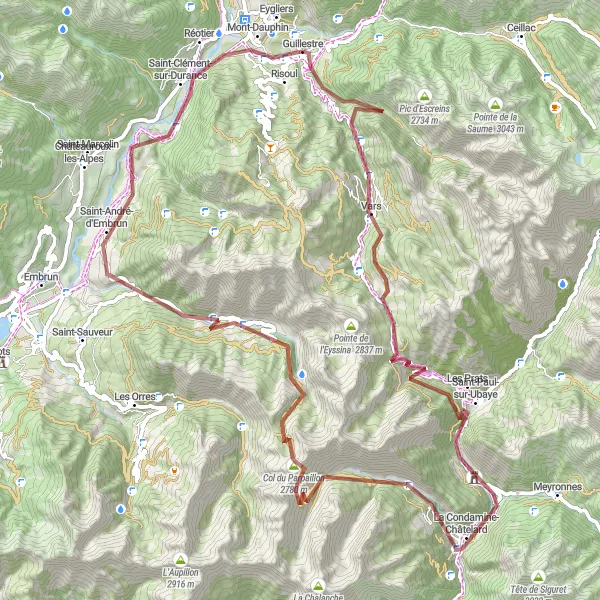
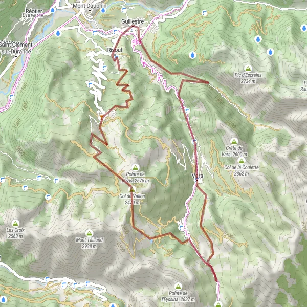
Take on the challenge of an alpine gravel route with this demanding ride
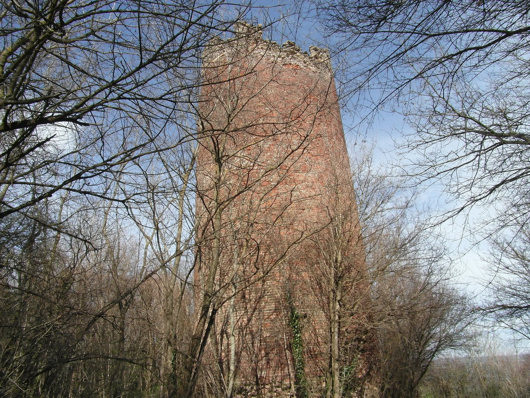
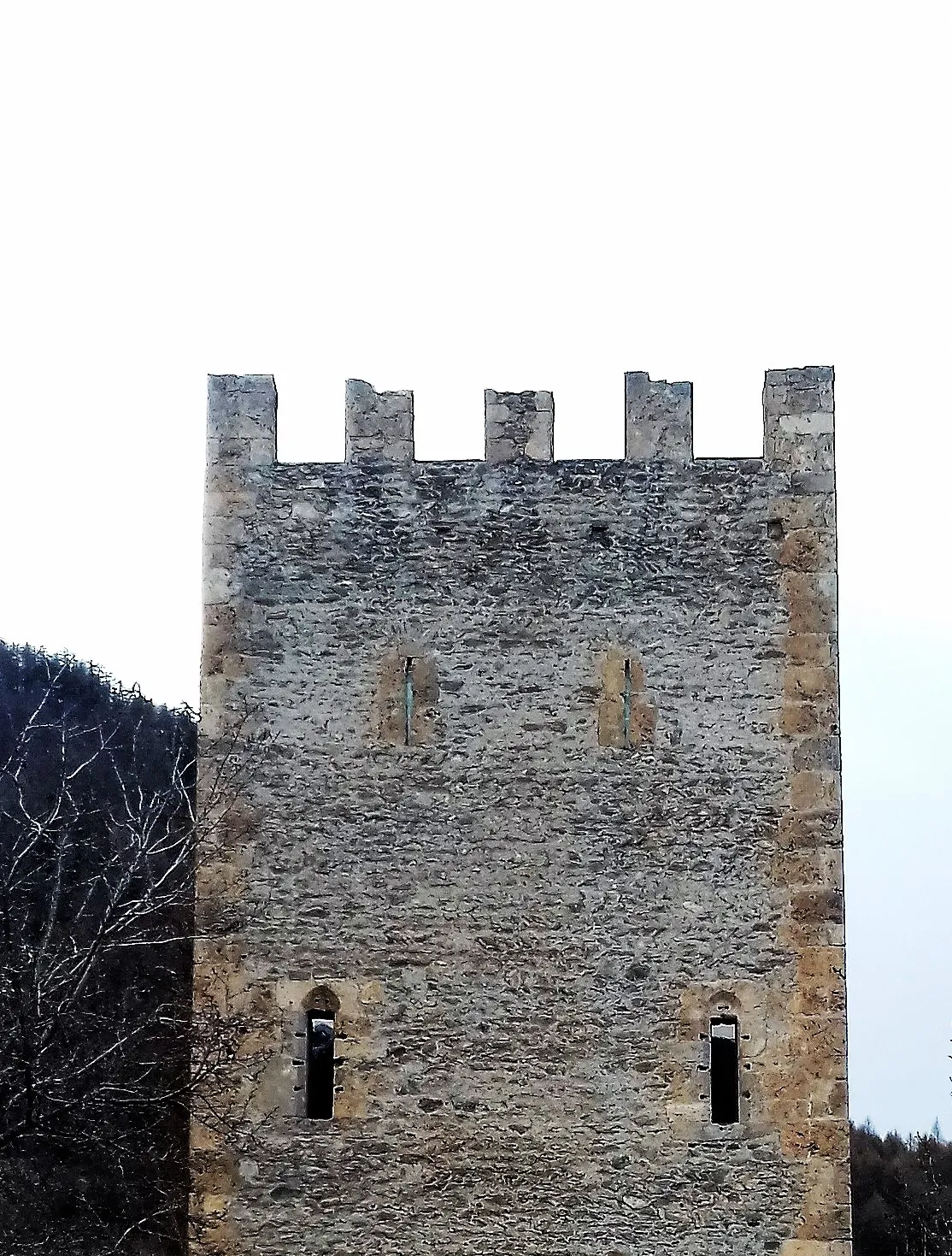
This alpine gravel route offers a challenging ride through the rugged mountain terrain of Provence-Alpes-Côte d’Azur. With a total ascent of 3,524m and a distance of 94km, this route is suitable for experienced gravel cyclists. The highlights along the route include Vars, a popular ski resort located at the 12km point; Peynier, a traditional village at 15km; La Condamine-Châtelard, a tranquil village at 37km; Belvédère du Châtelard, a lookout with stunning views at 38km; Col du Parpaillon, a legendary climb at 54km; Cascade de Razis, a beautiful waterfall at 61km; Saint-André-d'Embrun, a picturesque village at 78km; Saint-Clément-sur-Durance, a traditional village at 88km; and Echauguette, a fortified tower at 92km.
Challenging Ride to Vars
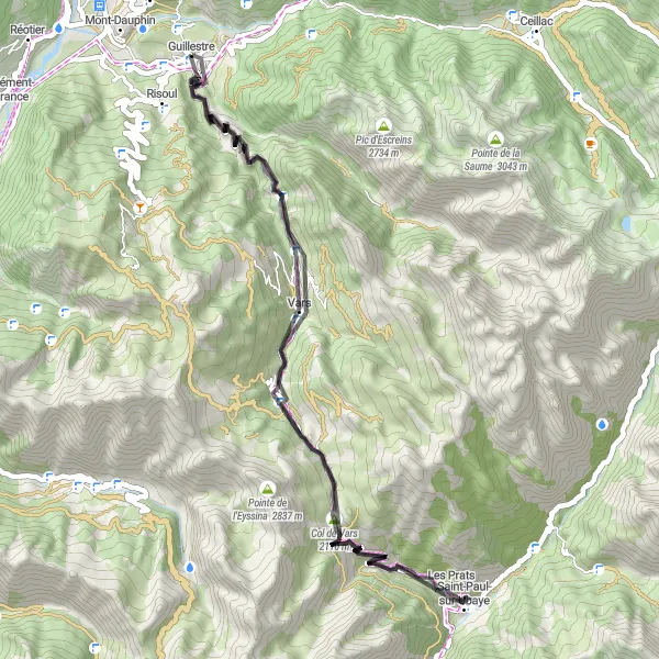
Conquer the challenging climb to Col de Vars and enjoy the scenic ride to Vars.
Embark on a challenging ride to Vars with this 56 km road route starting near Guillestre. This route offers a combination of challenging climbs and magnificent views. The highlight of the route is the legendary Col de Vars, known for its difficult ascent and thrilling descents. With a total ascent of 2,003 meters, this route is best suited for well-trained cyclists. The difficulty level is 4 out of 5, making it a challenging ride for amateur cyclists. The epicness of this route is rated 3 out of 5, thanks to the scenic beauty and the famous Col de Vars.
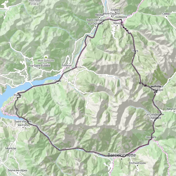
Explore the stunning alpine scenery on this challenging road ride
This high mountain loop road ride takes you through some of the most spectacular alpine scenery in Provence-Alpes-Côte d’Azur. With a total ascent of 2,699m and a distance of 123km, this route is suitable for experienced cyclists. The highlights along the route include Peyre Haute, a picturesque village at the 3km mark; Vars, a popular ski resort at 12km; Col de Vars, a legendary climb at 19km; Saint-Paul-sur-Ubaye, a charming village at 27km; Belvédère du Châtelard, a lookout with stunning views at 37km; Barcelonnette, a historic town at 50km; Roche Courbe, a rock formation at 61km; Le Lauzet-Ubaye, a tranquil lakeside village at 70km; La Gineste, a scenic route with breathtaking views at 83km; Savines-le-Lac, a picturesque lakeside town at 93km; and Saint-Clément-sur-Durance, a traditional village at 117km.
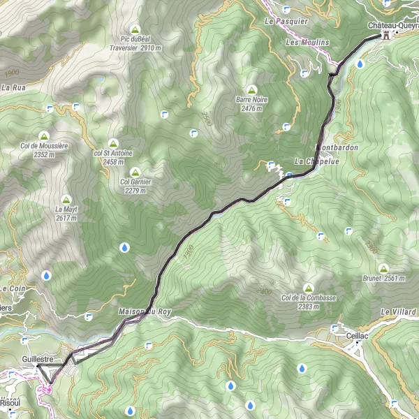
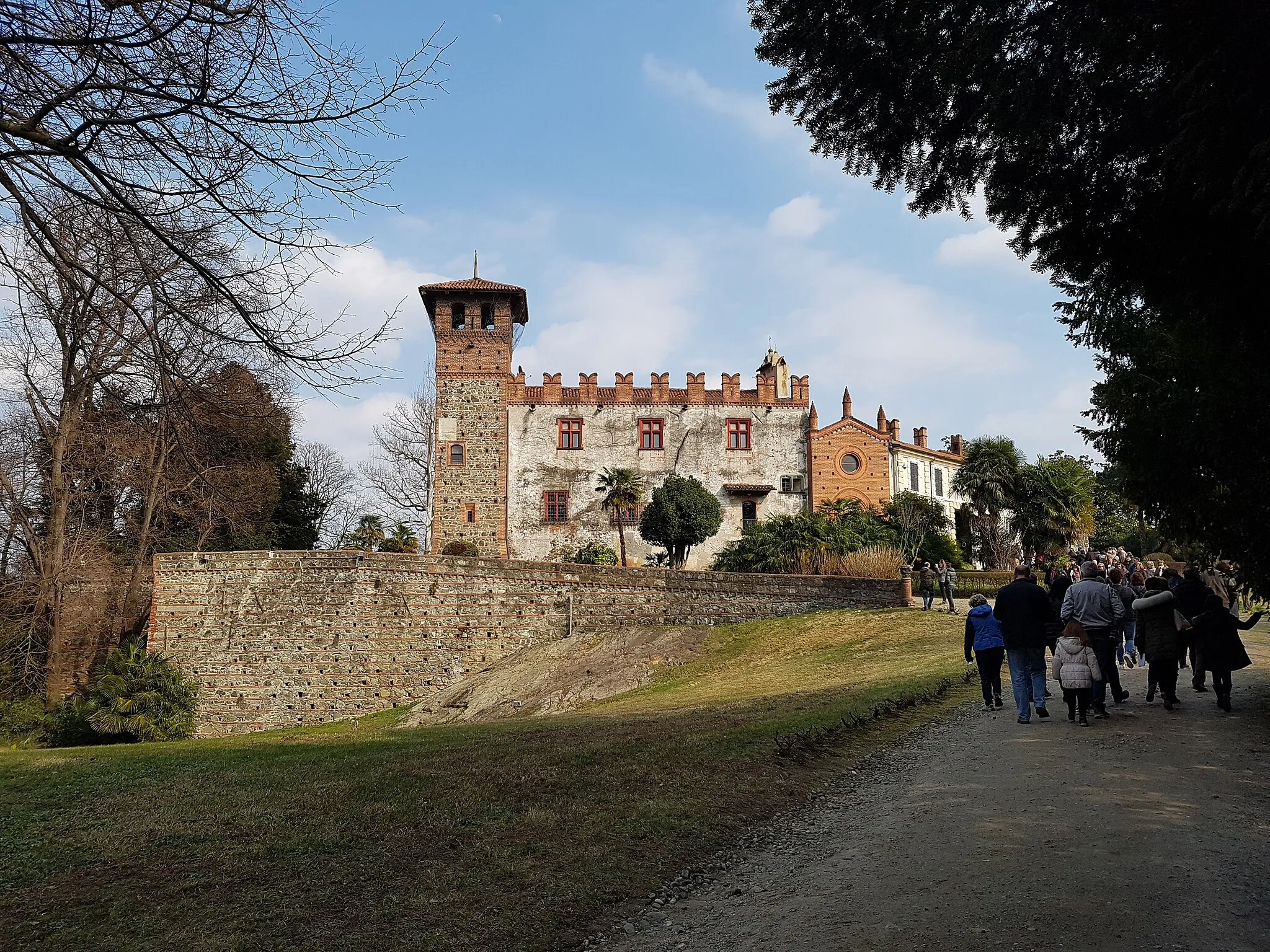
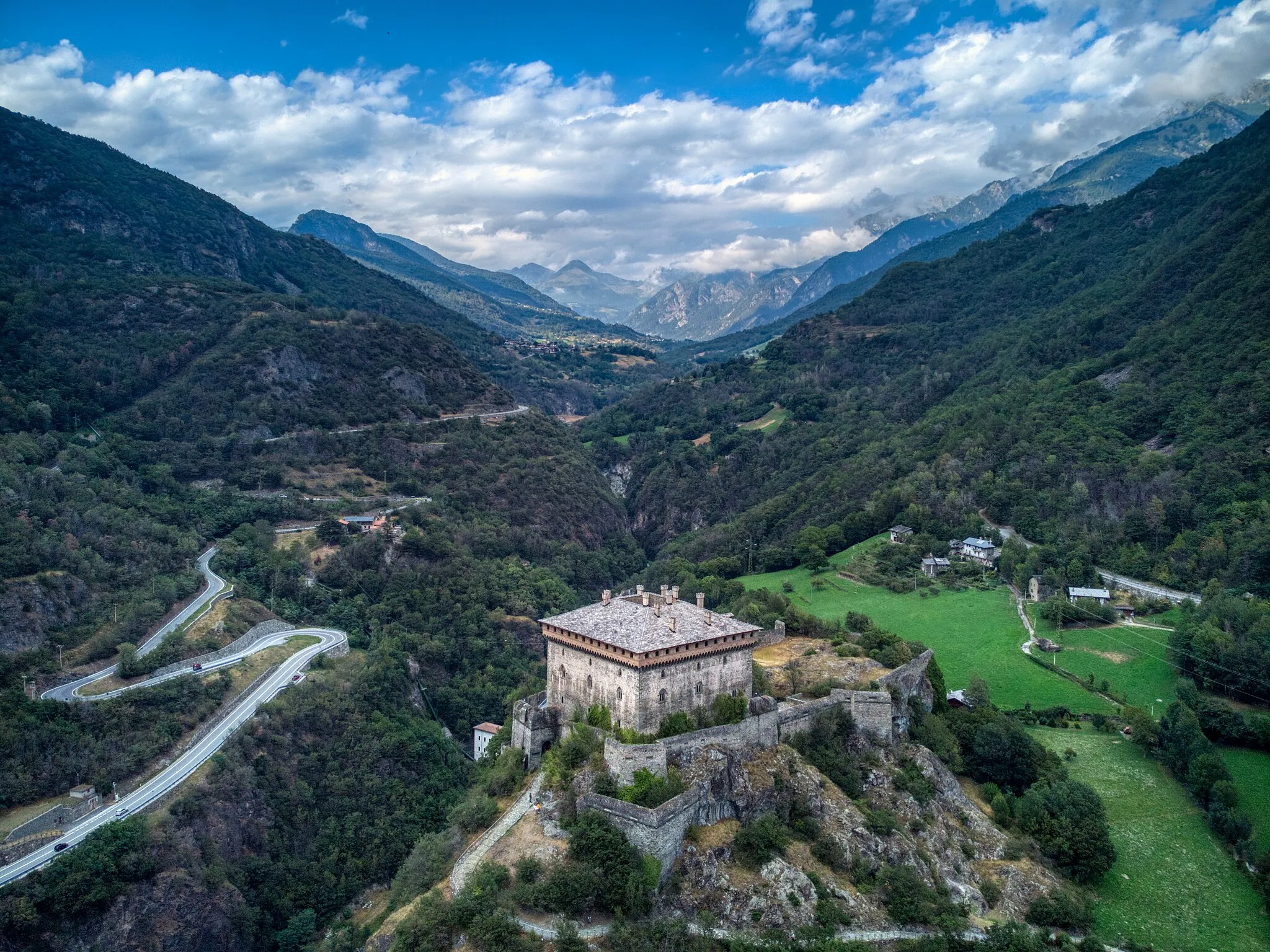
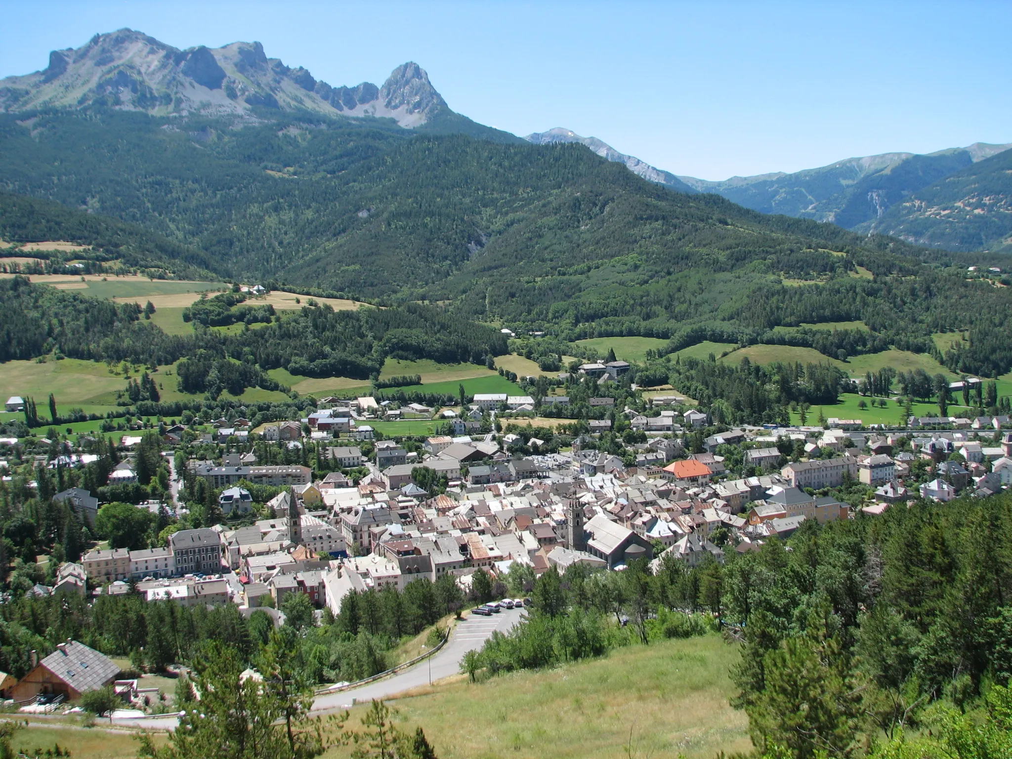
Discover the natural beauty of Queyras Natural Park on this scenic road ride
This scenic road ride takes you through the stunning landscapes of Queyras Natural Park in Provence-Alpes-Côte d’Azur. With a total ascent of 1,207m and a distance of 36km, this route is suitable for cyclists of all levels. The highlights along the route include Rocher de l'Aigle, a rock formation at the 3km mark; Maison du Roy, a historic building at 5km; L'Ange Gardien, a charming village at 15km; and Fort de Château-Queyras, a fortified castle at 18km.
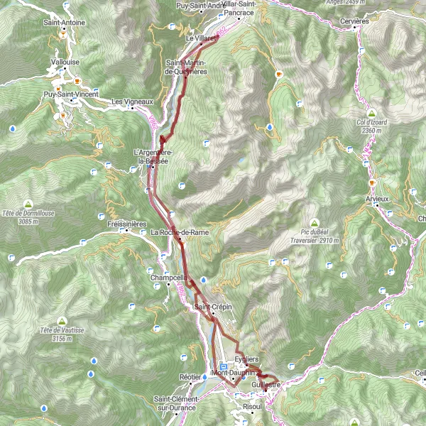
Embark on a thrilling gravel adventure to the mountainous village of L'Argentière-la-Bessée.
Experience the thrill of gravel biking with this 68 km route starting near Guillestre. This challenging gravel route takes you through picturesque landscapes and offers stunning views of the mountains. With a total ascent of 1,257 meters, this route is best suited for experienced gravel riders. The difficulty level is 4 out of 5, making it a challenging adventure. The epicness of this route is rated 3 out of 5, thanks to the scenic beauty and the remote mountain village of L'Argentière-la-Bessée.
Mountain Gravel Adventure

Embark on an exciting gravel adventure through the mountains
This gravel adventure takes you through the rugged mountain terrain of Provence-Alpes-Côte d’Azur, offering an exhilarating ride. With a total ascent of 1,048m and a distance of 71km, this route is suitable for experienced gravel cyclists. The highlights along the route include Echauguette, a fortified tower at the 4km mark; Mont-Dauphin, a UNESCO World Heritage Site at 4km; Pra Reboul, a picturesque mountain meadow at 13km; Col de l'Aiguille, a challenging climb at 17km; Puy-Saint-Vincent, a charming alpine village at 31km; L'Argentière-la-Bessée, a historic town at 50km; La Roche-de-Rame, a quaint village with ancient ruins at 55km; Saint-Crépin, a picturesque riverside town at 61km; and La Rue des Masques, a street known for its colorful facades at 67km.
Cycling routes nearby:
Nearby regions: