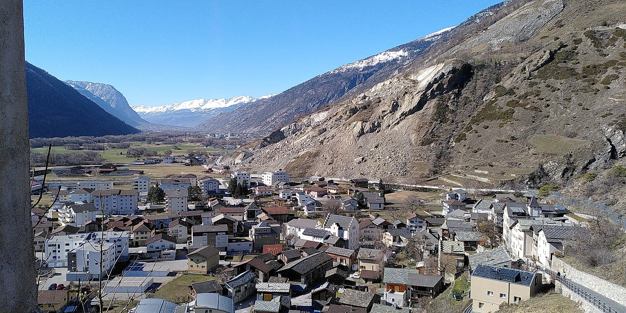
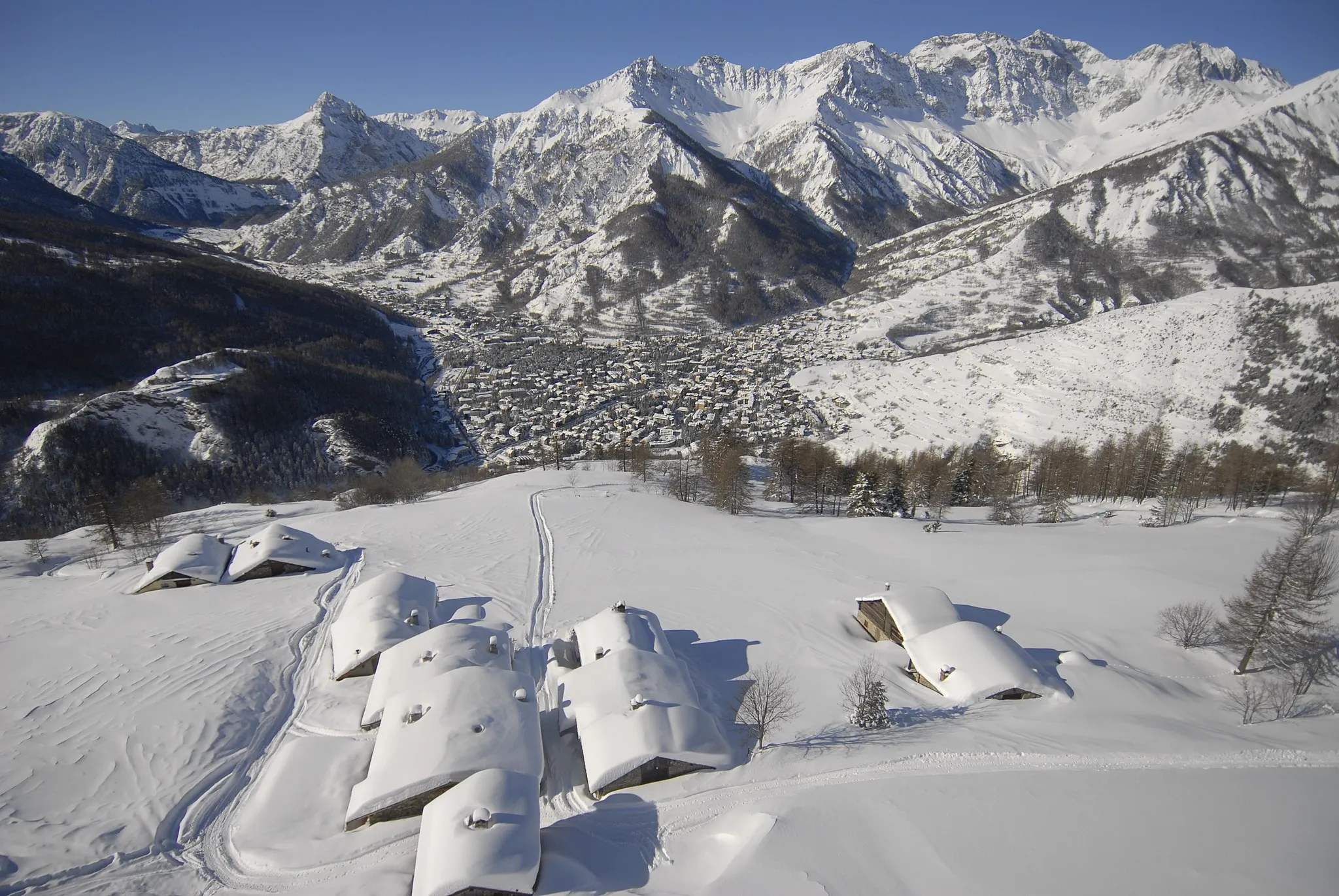
Conquer the legendary mountain climbs and soak in the stunning alpine landscapes of Briançon.
Cycling routes from Briancon
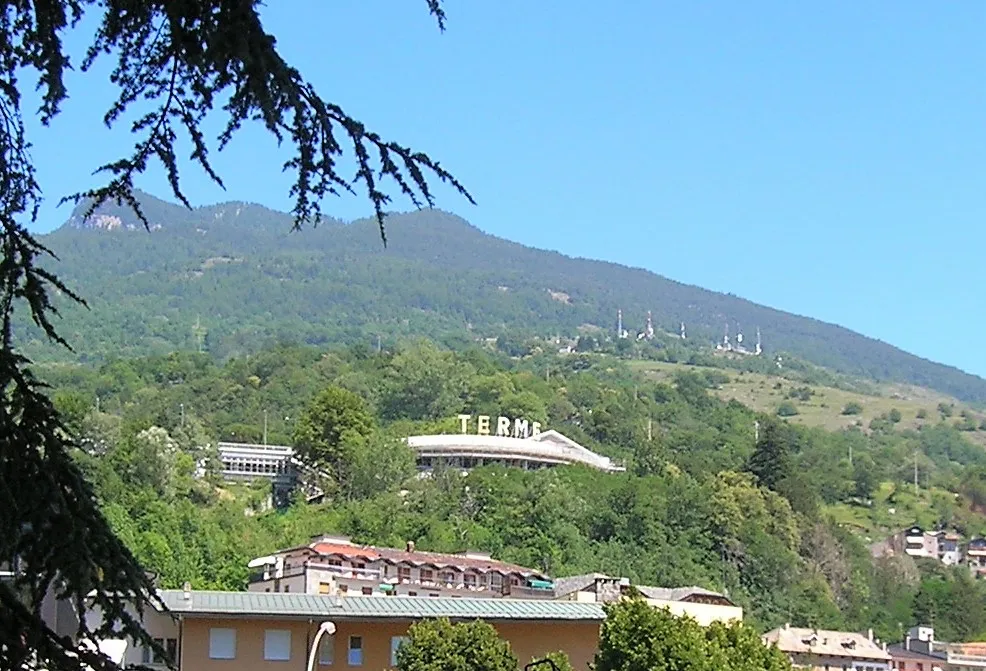
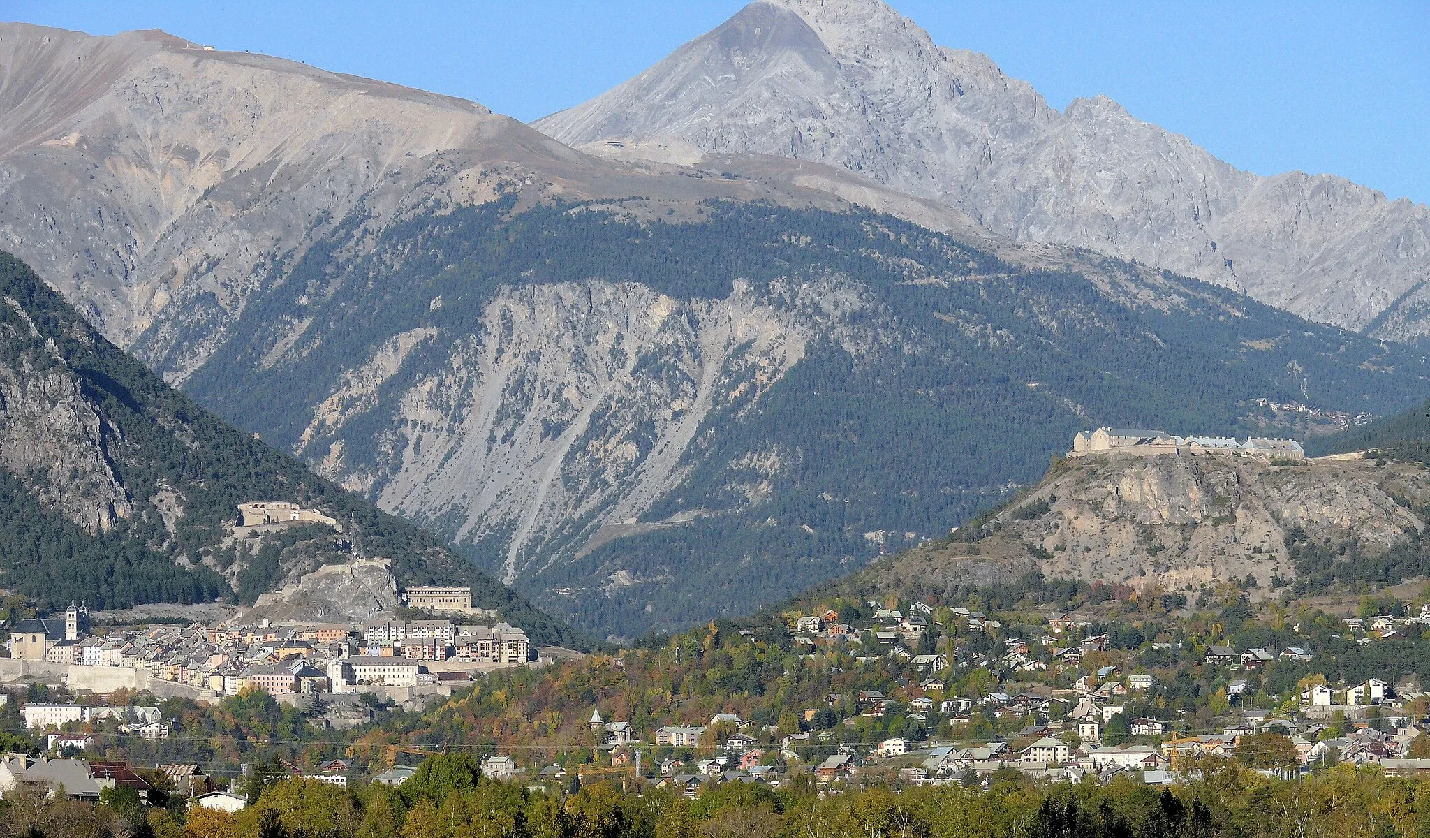
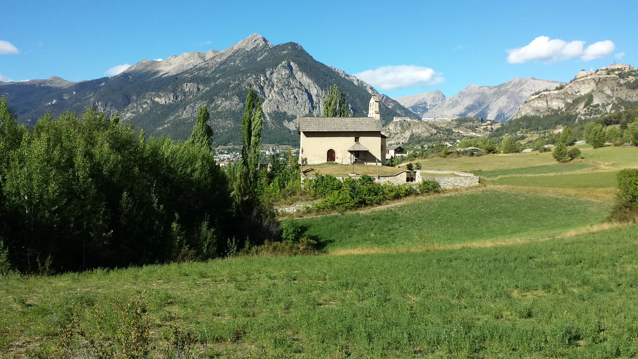
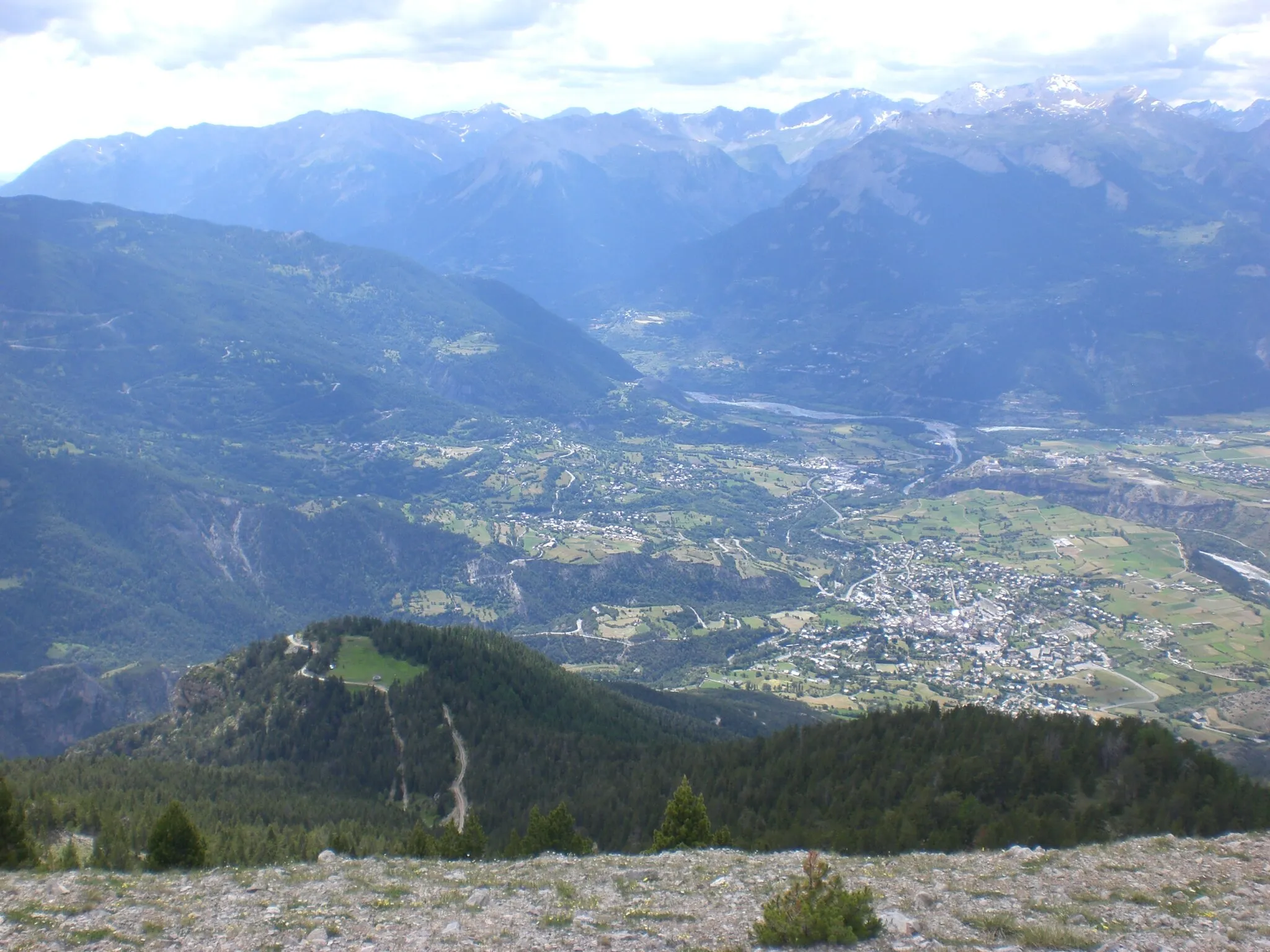
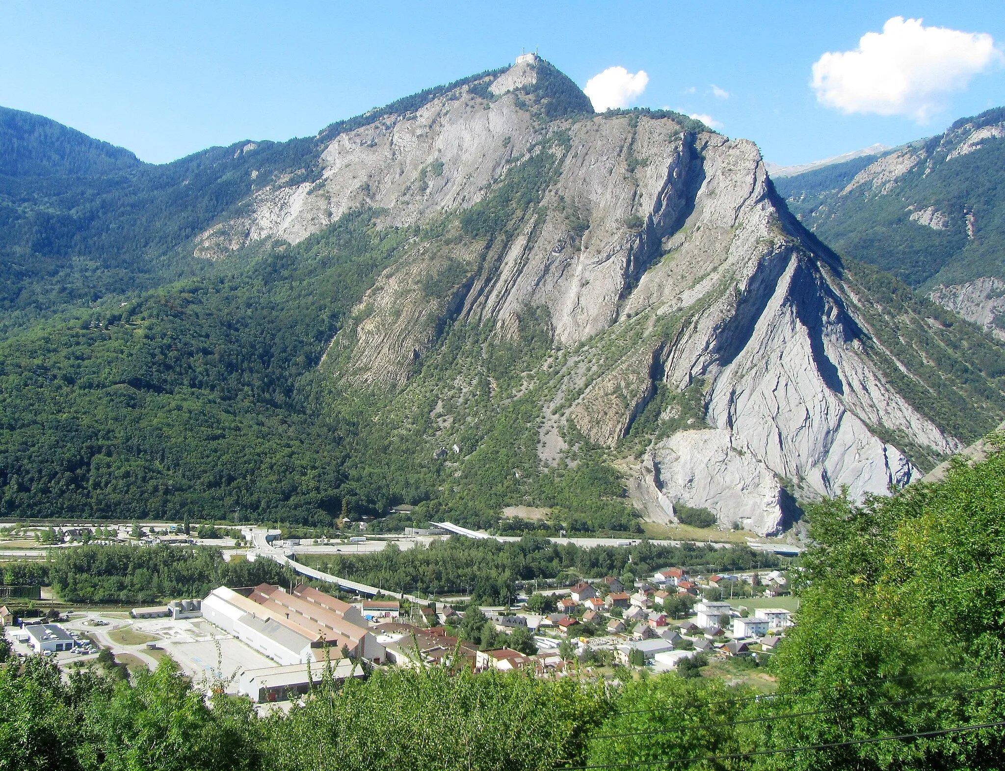
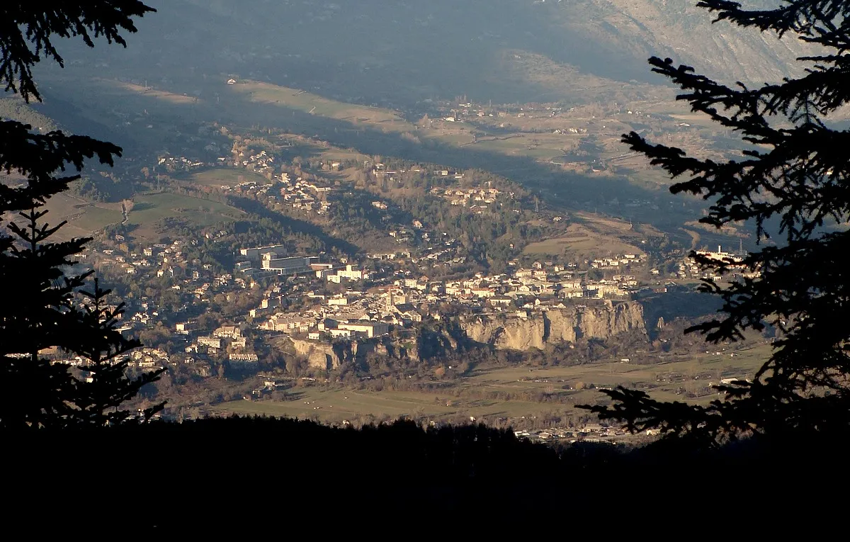
Briançon is located in the Provence-Alpes-Côte d’Azur region of France. Known as the highest town in Europe, Briançon offers breathtaking landscapes and challenging terrain for cyclists. From a cyclist's perspective, Briançon is a paradise for mountain climbing enthusiasts, with famous climbs nearby such as the Col du Galibier and Col d'Izoard. These legendary climbs have been featured in the Tour de France and attract cyclists from around the world. In addition to the iconic climbs, Briançon offers beautiful routes through alpine meadows and historic fortifications, providing a unique cycling experience. With its high-altitude setting and legendary climbs, Briançon is a top destination for cyclists seeking a challenging and rewarding cycling adventure.
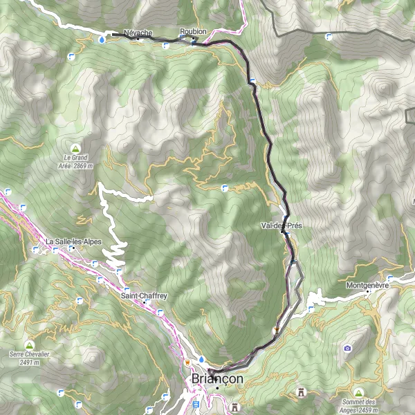
Discover picturesque villages and enjoy magnificent mountain views on this scenic road cycling route near Briançon
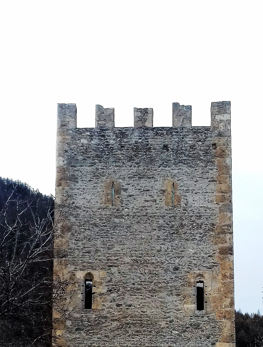
This road cycling route near Briançon offers a delightful mix of gorgeous scenery and charming villages. Covering a distance of 44 kilometers with a moderate ascent of 651 meters, cyclists can enjoy the beauty of the Provence-Alpes-Côte d’Azur region. Highlights of this route include Val-des-Prés, Névache, Les Alberts, and Fort des Têtes. With a difficulty level of 2, this route is suitable for all skill levels. Immerse yourself in the natural beauty of the French Alps while exploring small villages and marveling at stunning mountain vistas.
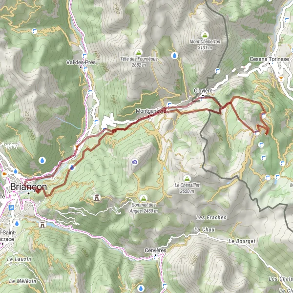
Explore hidden valleys and remote villages on this challenging gravel route.
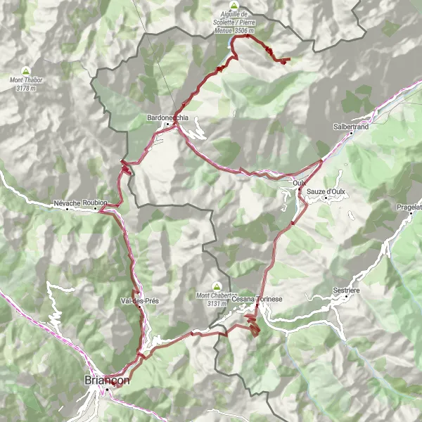
Get off the beaten path and discover the rugged beauty of the Alps with this gravel adventure near Briançon. The route takes you through Val-des-Prés, known for its charming architecture, and continues to the Col de l'Échelle, offering stunning views of the surrounding mountains. As you make your way to Bardonecchia, you'll ride alongside ancient Roman ruins and experience the majestic Cascata del Rio Barracan. Claviere, with its traditional alpine charm, awaits at the end of this epic journey.
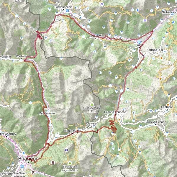
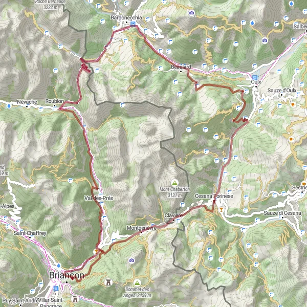
Explore rugged landscapes and historic forts on this epic gravel adventure near Briançon
This route offers a challenging gravel adventure with stunning views and fascinating historical sites. The ascent of 3378 meters over a distance of 102 kilometers is made worth it by the highlights, including the Fort des Salettes, Plampinet, Col de l'Échelle, Chateaux, Beaulard, Cesana Torinese, Col de Montgenèvre, and Briançon itself. The difficulty level for this route is 4, making it suitable for very well-trained amateurs. With an epicness rating of 4, this route guarantees plenty of excitement on the trails. Explore remote fortresses, picturesque villages, and breathtaking mountain passes while enjoying the beautiful Provence-Alpes-Côte d’Azur region.
Conquer legendary climbs and discover the hidden treasures of the Alps on this challenging road route.
Prepare for an epic adventure through the heart of the Alps with this challenging road route starting near Briançon. Ride through forts, conquer legendary cols, and experience the breathtaking beauty of the region. Highlights include the historic Fort du Randouillet, the iconic Col d'Izoard with its rugged landscapes, and the charming village of Guillestre. This route is not for the faint of heart, but it promises unforgettable experiences and incredible views.
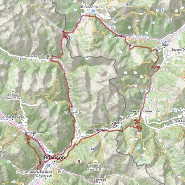
Embark on an off-road adventure from Briançon and discover hidden gems along the way
This off-road route starting in Briançon delights riders with its mix of natural landscapes and cultural highlights. Covering 2473 meters of ascent over a distance of 79 kilometers, this gravel route takes cyclists through remote mountain paths and charming villages. Highlights on this route include the Fort du Randouillet, Val-des-Prés, Col de l'Échelle, Bardonecchia, Chateaux, Roche Mayor, Amazas, Cesana Torinese, Col de Montgenèvre, and Fort des Salettes. With a difficulty level of 3, this route is suitable for experienced amateurs. Its epicness rating of 4 guarantees a memorable adventure in the picturesque Provence-Alpes-Côte d’Azur region.
Gravel Delight
Embark on an adventure through gravel paths and discover hidden mountain treasures.
Immerse yourself in the rugged beauty of the Alps with this gravel route near Briançon. From the historic Fort du Randouillet to the picturesque Fort des Salettes, you'll explore hidden gems along the way. Discover charming villages, ancient mountain passes, and breathtaking waterfalls on this exhilarating journey. With moderate difficulty and stunning scenery, this route promises an unforgettable experience for gravel enthusiasts.
Ser du Soleil Loop
Take a ride through the beautiful Serre Chevalier Valley
The Ser du Soleil Loop is a stunning cycling route that takes you through the picturesque Serre Chevalier Valley in Provence-Alpes-Côte d’Azur, France. With a total distance of 38 km and an ascent of 1135 meters, this route is suitable for well-trained amateurs seeking a challenging ride. As you cycle through this loop, you'll be captivated by the breathtaking alpine scenery, quaint villages, and historic forts along the way. The route also offers the opportunity to visit notable highlights such as Fort des Têtes, a 2-3 sentence description of this highlight. Score - 4. Fort des Têtes, a 17th-century military fort, provides a fascinating glimpse into the region's military history. Another highlight along the route is Cervières, an idyllic village known for its traditional architecture and stunning mountain views. Score - 4. Additionally, you'll pass through Les Chalps, where you can take a break at a charming mountain café and indulge in delicious local cuisine. Score - 3.
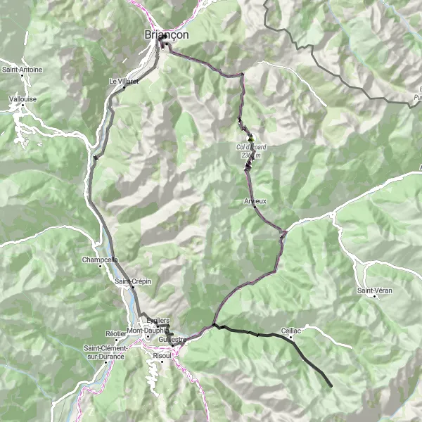
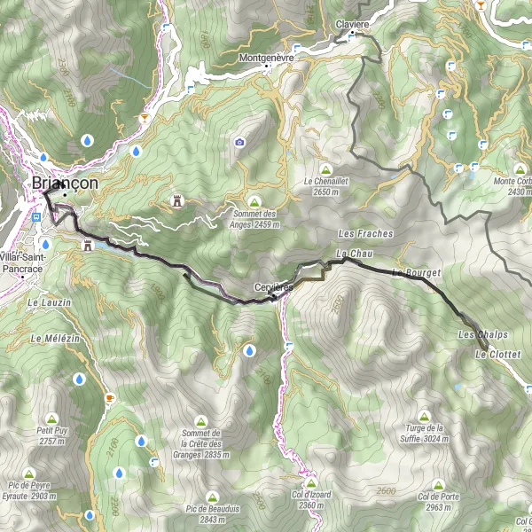
Embark on a challenging road adventure near Briançon and conquer iconic mountain passes
This road cycling route near Briançon is a must for cycling enthusiasts seeking challenging climbs and stunning vistas. Covering a distance of 106 kilometers with an ascent of 3132 meters, this route takes cyclists through iconic mountain passes and scenic landscapes. Highlights include the Fort du Randouillet, Le Laus, Col d'Izoard, Arvieux, L'Ange Gardien, Maison du Roy, Rocher de l'Aigle, Risoul, and Saint-Martin-de-Queyrières. With a difficulty level of 4, this route is recommended for experienced cyclists. The epicness rating of 4 guarantees the thrill of conquering legendary climbs and exploring the beauty of the French Alps.
Conquer challenging gravel climbs and admire stunning alpine beauty on this epic route near Briançon
This ultimate gravel challenge near Briançon offers experienced cyclists a thrilling adventure through the stunning French and Italian Alps. With an ascent of 4047 meters spread over 127 kilometers, this route encompasses the most scenic and challenging gravel climbs in the region. Highlights include Val-des-Prés, Col de l'Échelle, Les Arnauds, Rochemolles, Punta Valfredda, Chateaux, Royeres, Oulx, Cascata del Rio Barracan, Cesana Torinese, Col de Montgenèvre, and Fort des Salettes. This route provides a true test of endurance with a difficulty rating of 5. The epicness rating of 5 signifies legendary climbs and extraordinary natural beauty that will leave cyclists in awe.
Alpine Escape
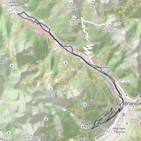
Experience the thrill of cycling through stunning alpine scenery on this road route.
Embark on an unforgettable journey through the majestic Alps with this road route near Briançon. You'll start in Saint-Chaffrey, a charming village surrounded by breathtaking mountains, and continue to La Salle-les-Alpes, known for its picturesque landscapes. The highlight of the route is Puy-Saint-André, a hidden gem offering stunning panoramic views. With moderate ascent and distance, this route is suitable for experienced cyclists looking to immerse themselves in the beauty of the Alps.
Cycling routes nearby:
Nearby regions: