Ultimate Gravel Challenge near Briançon
A gravel cycling route starting from Briancon
Conquer challenging gravel climbs and admire stunning alpine beauty on this epic route near Briançon
Map
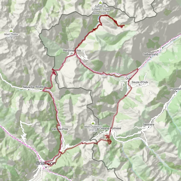
This ultimate gravel challenge near Briançon offers experienced cyclists a thrilling adventure through the stunning French and Italian Alps. With an ascent of 4047 meters spread over 127 kilometers, this route encompasses the most scenic and challenging gravel climbs in the region. Highlights include Val-des-Prés, Col de l'Échelle, Les Arnauds, Rochemolles, Punta Valfredda, Chateaux, Royeres, Oulx, Cascata del Rio Barracan, Cesana Torinese, Col de Montgenèvre, and Fort des Salettes. This route provides a true test of endurance with a difficulty rating of 5. The epicness rating of 5 signifies legendary climbs and extraordinary natural beauty that will leave cyclists in awe.
gravel
127 km
4047 m
Savage
Route profile
Highlights on the route
0 km
0 km
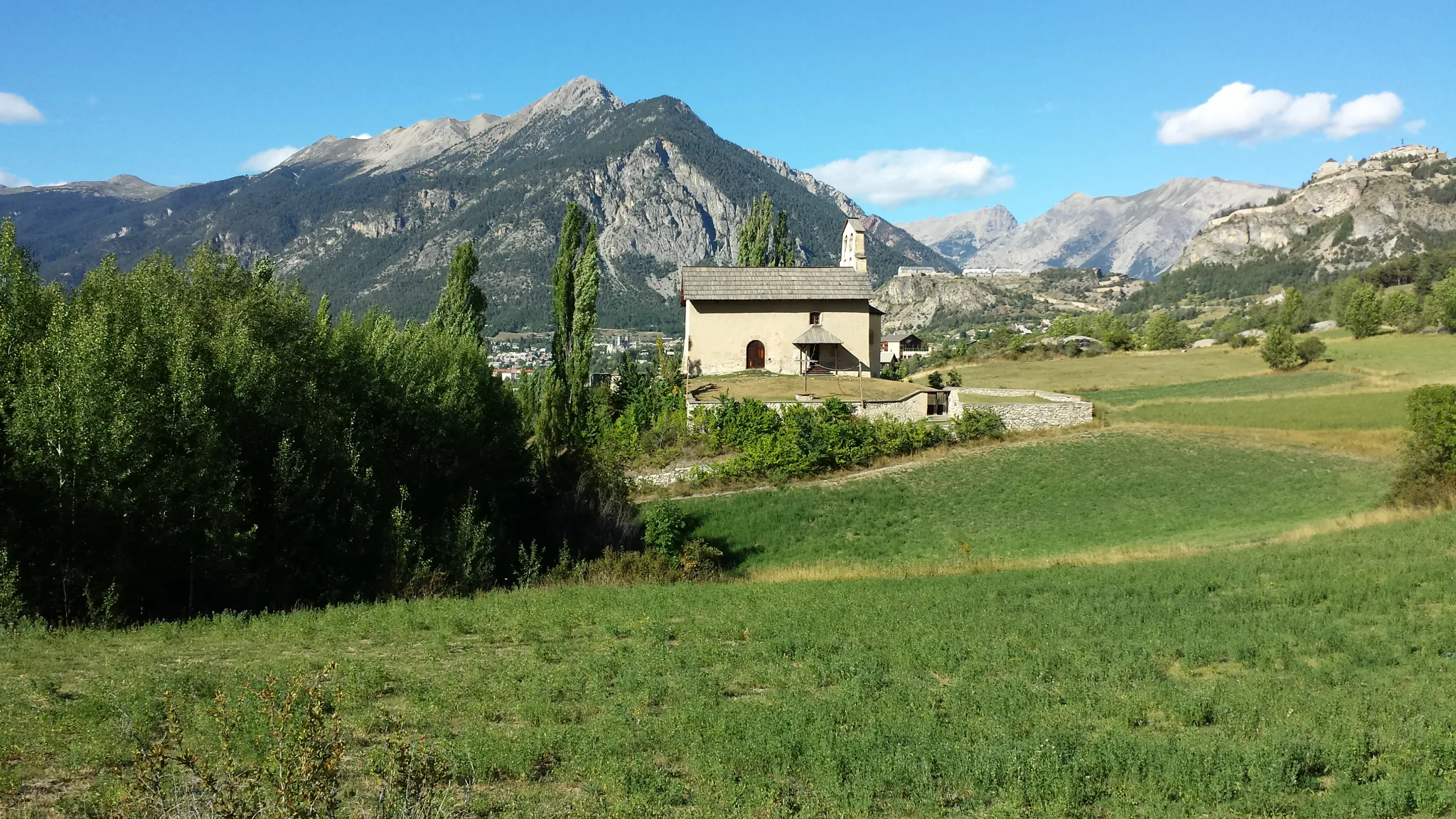
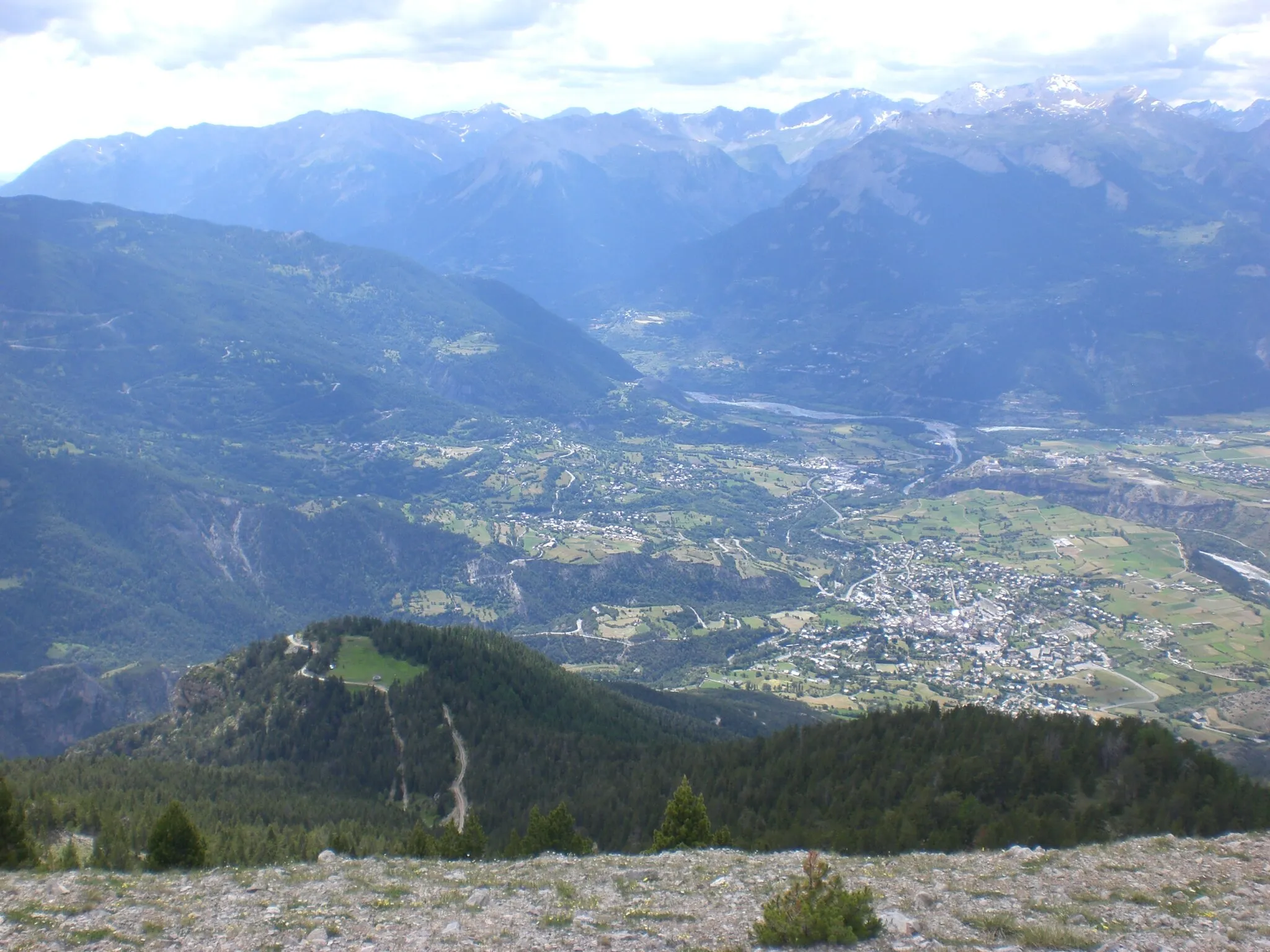
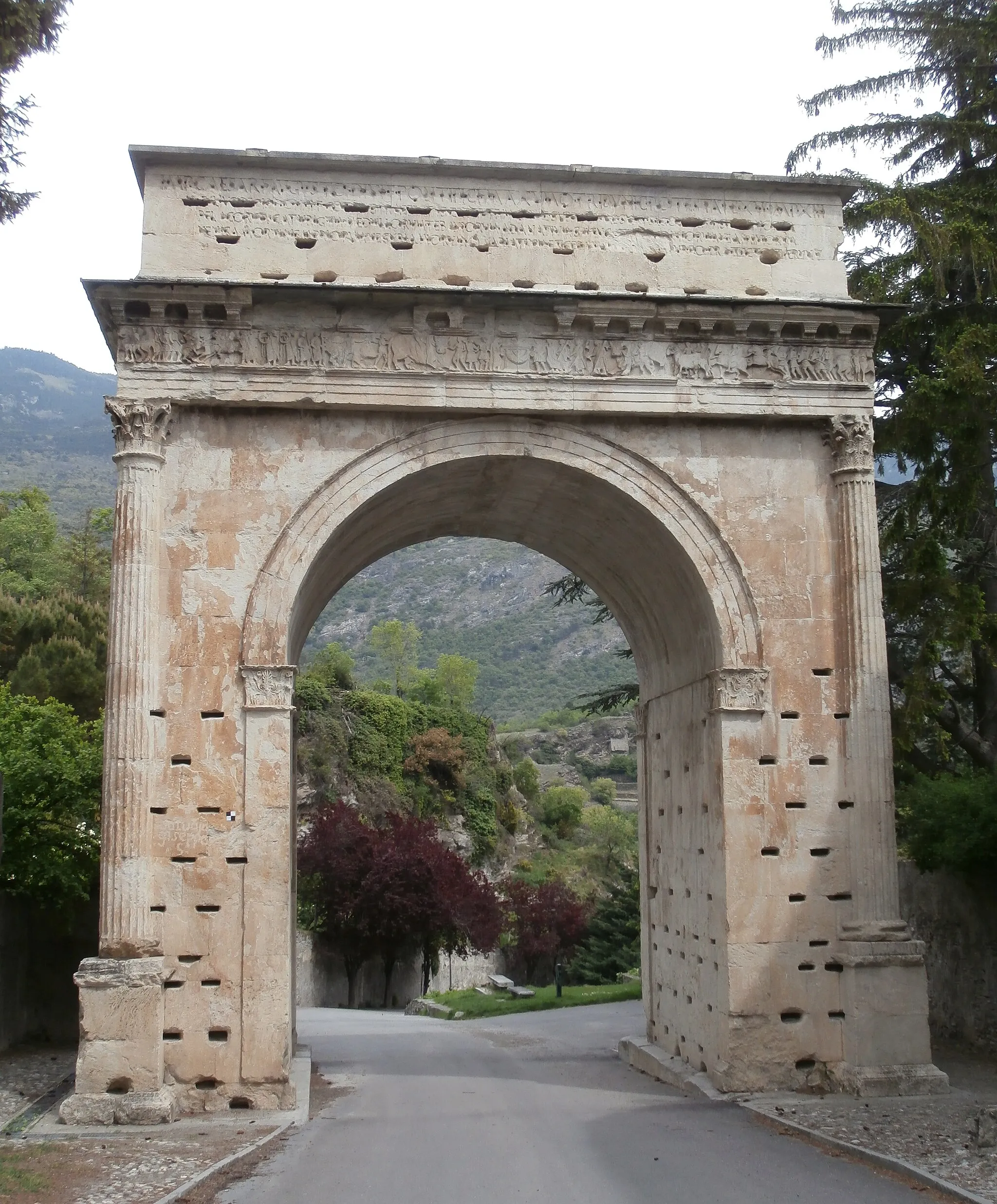
Start: Briançon City centerBriançon: Conquer the legendary mountain climbs and soak in the stunning alpine landscapes of Briançon.
Briançon is located in the Provence-Alpes-Côte d’Azur region of France. Known as the highest town in Europe, Briançon offers breathtaking landscapes and challenging terrain for cyclists. From a cyclist's perspective, Briançon is a paradise for mountain climbing enthusiasts, with famous climbs nearby such as the Col du Galibier and Col d'Izoard. These legendary climbs have been featured in the Tour de France and attract cyclists from around the world. In addition to the iconic climbs, Briançon offers beautiful routes through alpine meadows and historic fortifications, providing a unique cycling experience. With its high-altitude setting and legendary climbs, Briançon is a top destination for cyclists seeking a challenging and rewarding cycling adventure.10 km
10 km
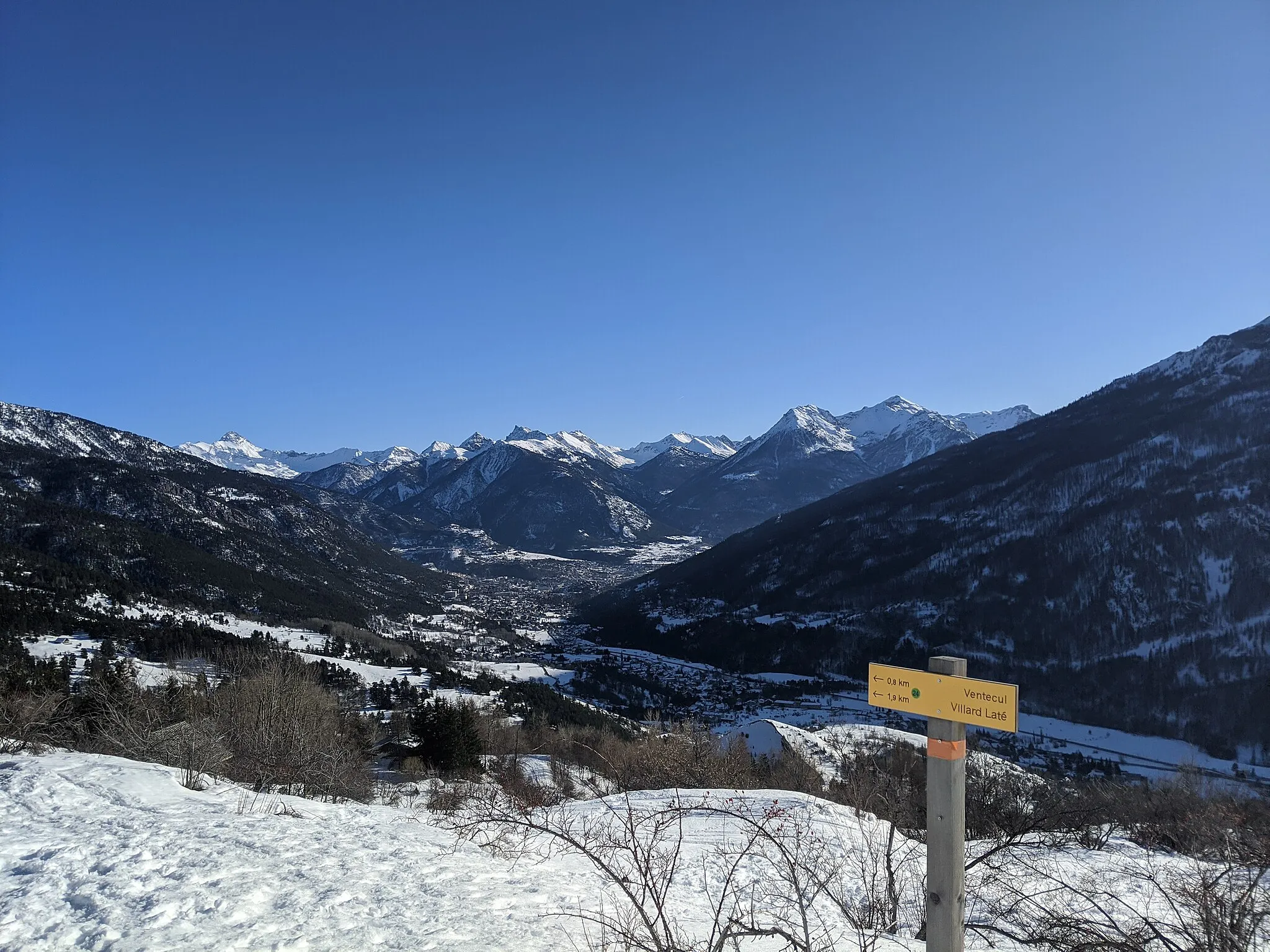
Val-des-PrésVillageVal-des-Prés is a charming alpine village with traditional wooden chalets and stunning mountain views.
23 km
23 km
Col de l'Échelle1762 mMountain PassThe Col de l'Échelle is a mountain pass that offers breathtaking vistas of the surrounding peaks and valleys.
33 km
33 km
Les ArnaudsHamletLes Arnauds is a picturesque hamlet surrounded by lush green meadows and grand mountains.
41 km
41 km
RochemollesHamletRochemolles is a hidden gem, known for its untouched natural beauty and peaceful atmosphere.
53 km
53 km
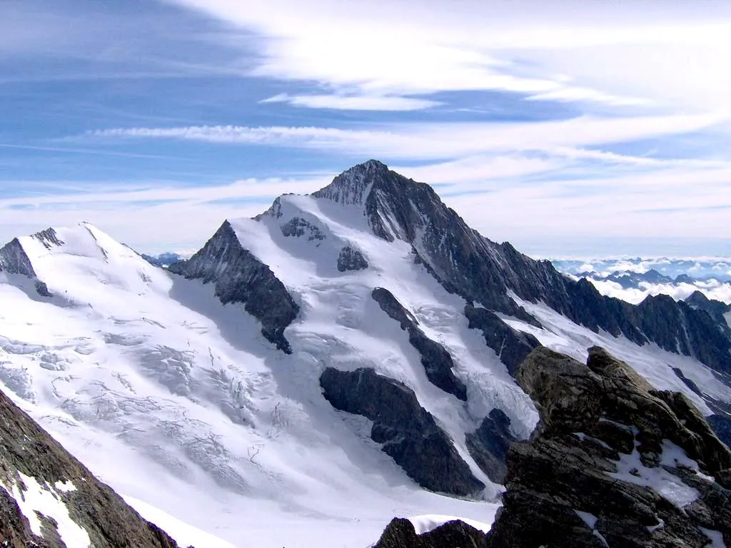
Punta Valfredda3052 mPeakPunta Valfredda is a stunning peak that offers panoramic views of the surrounding alpine landscapes.
75 km
75 km
Chateaux1419 mPeakChateaux is a small alpine village featuring medieval castles and charming historic architecture.
77 km
77 km
RoyeresHamletRoyeres is a quaint village known for its traditional mountain charm and picturesque surroundings.
91 km
91 km
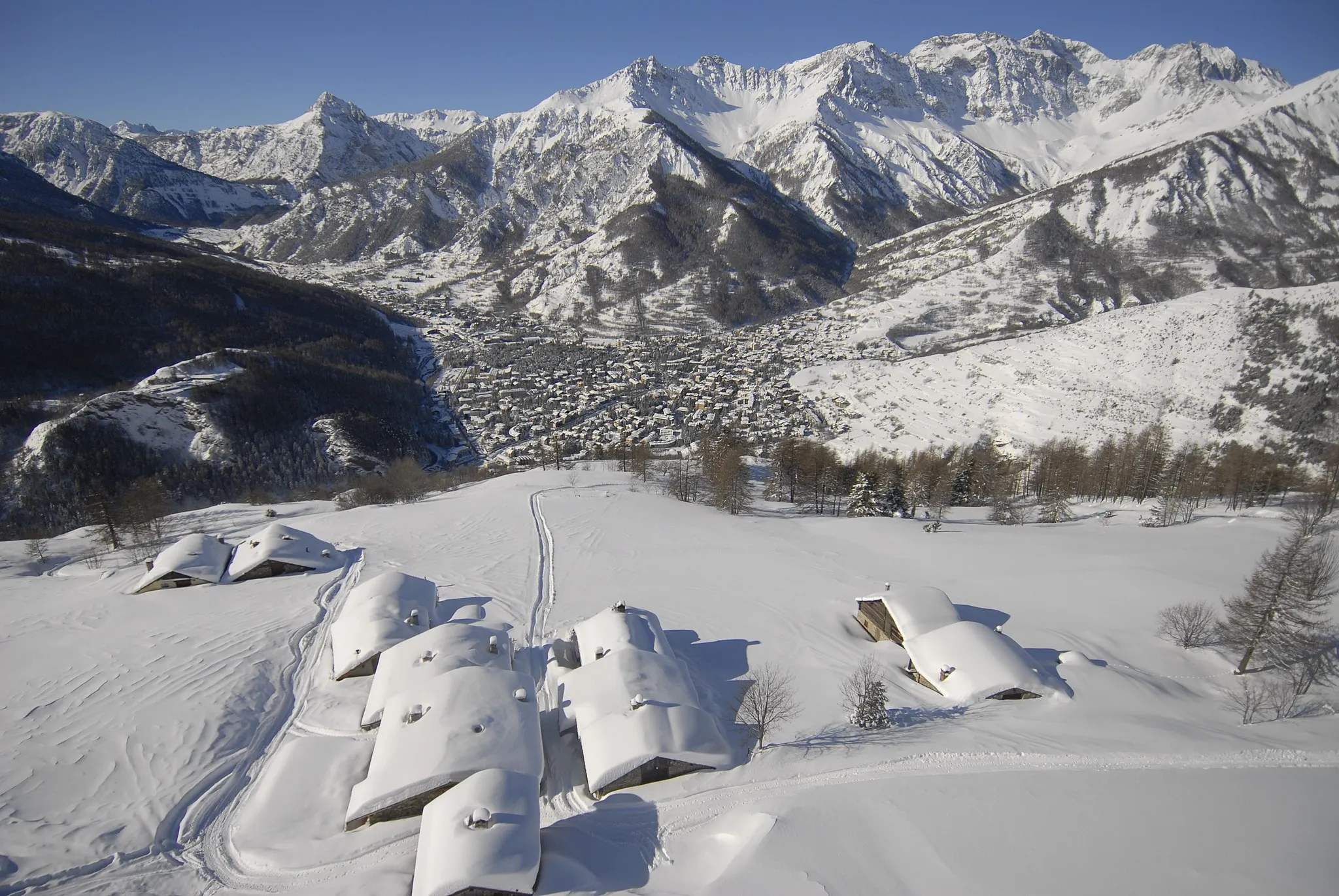
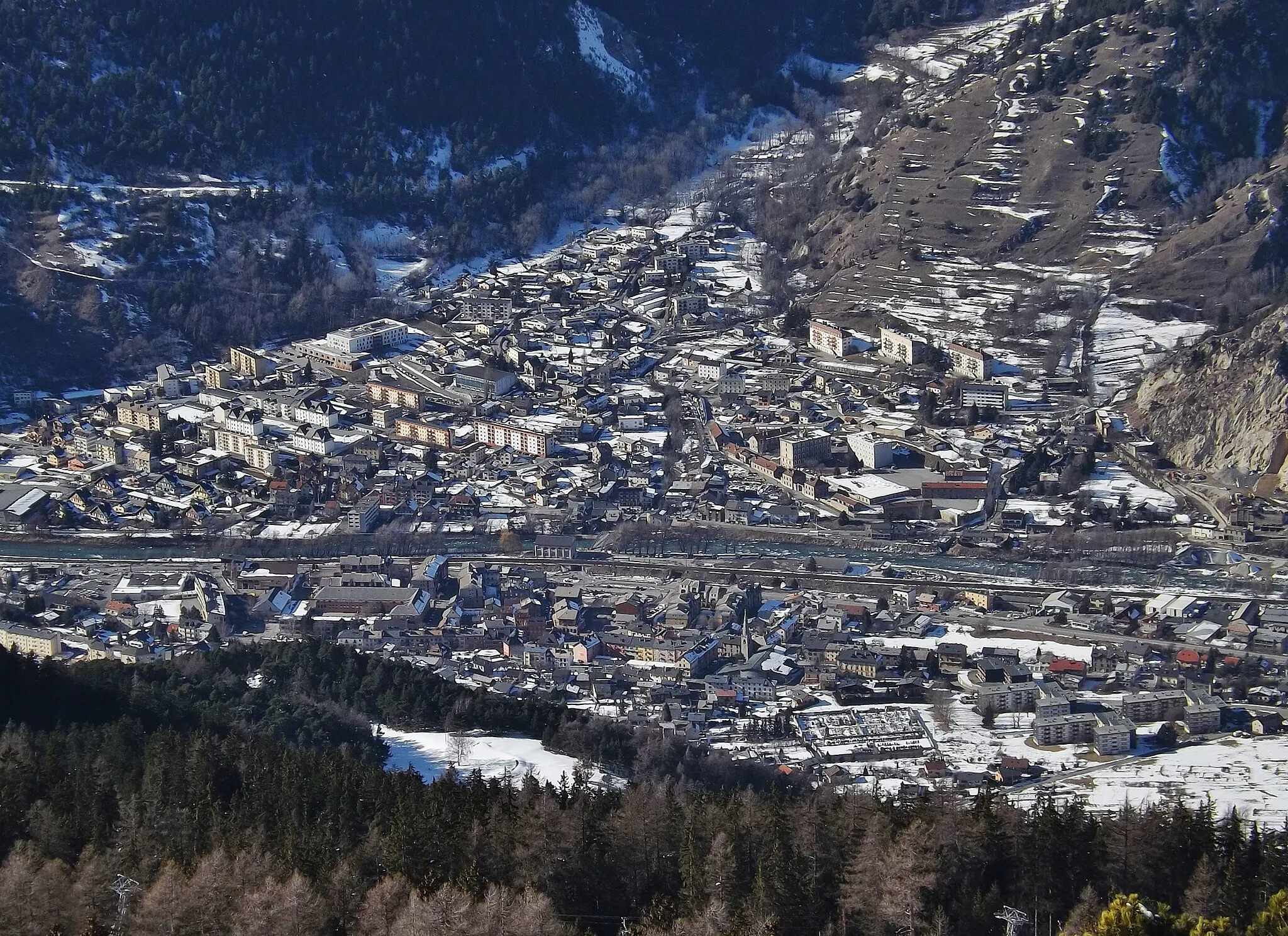
OulxVillageOulx is an Italian town famous for its skiing resorts and beautiful alpine scenery.
94 km
94 km
Cascata del Rio BarracanViewpointCascata del Rio Barracan is a magnificent waterfall nestled in a lush forested area.
103 km
103 km
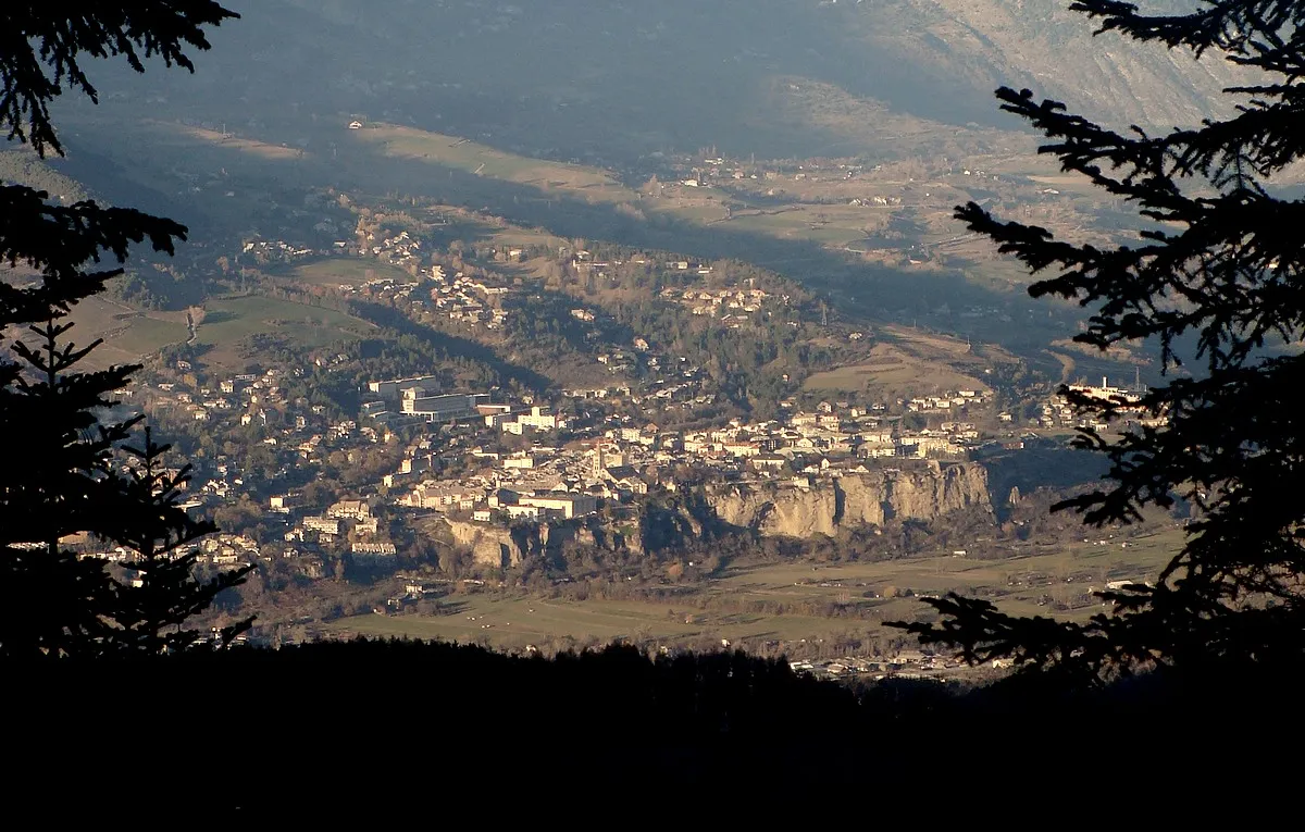
Cesana TorineseVillageCesana Torinese is a town located in the Susa Valley known for its historical significance and scenic beauty.
117 km
117 km
Col de Montgenèvre1850 mMountain PassThe Col de Montgenèvre is a challenging mountain pass with breathtaking views of the surrounding peaks.
125 km
125 km
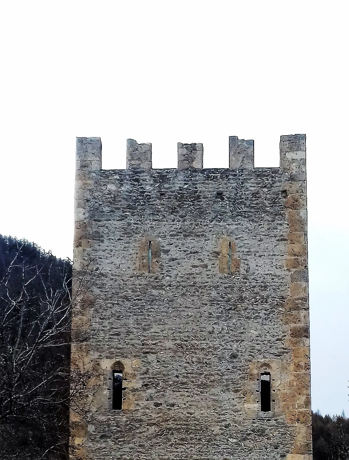
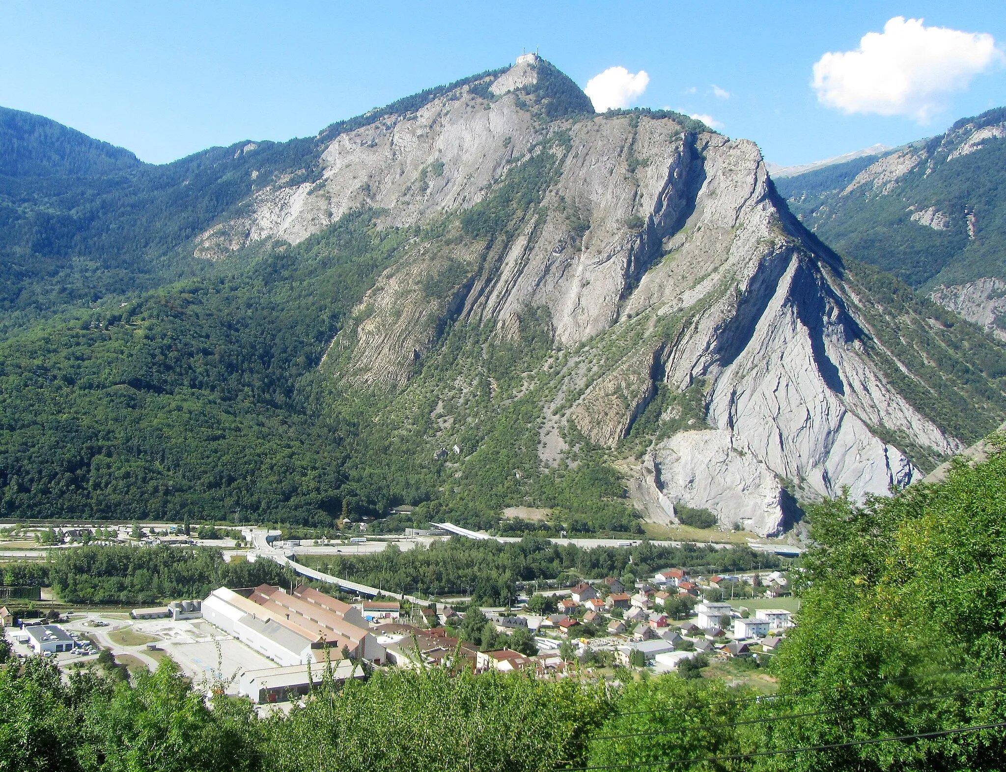
Fort des SalettesCastleThe Fort des Salettes is a historic fortress perched on a hill, offering stunning panoramic views.
127 km
127 km
Finish: Briançon City centerBriançon: Conquer the legendary mountain climbs and soak in the stunning alpine landscapes of Briançon.
Cycling routes from Briancon:
Cycling routes nearby: