Gravel Adventure in Briançon
A gravel cycling route starting from Briancon
Explore rugged landscapes and historic forts on this epic gravel adventure near Briançon
Map
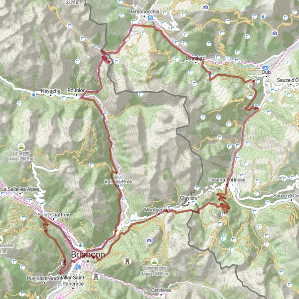
This route offers a challenging gravel adventure with stunning views and fascinating historical sites. The ascent of 3378 meters over a distance of 102 kilometers is made worth it by the highlights, including the Fort des Salettes, Plampinet, Col de l'Échelle, Chateaux, Beaulard, Cesana Torinese, Col de Montgenèvre, and Briançon itself. The difficulty level for this route is 4, making it suitable for very well-trained amateurs. With an epicness rating of 4, this route guarantees plenty of excitement on the trails. Explore remote fortresses, picturesque villages, and breathtaking mountain passes while enjoying the beautiful Provence-Alpes-Côte d’Azur region.
gravel
102 km
3378 m
Tough
Route profile
Highlights on the route
0 km
0 km
Start: Puy-Saint-Pierre Village centerBriançon: Conquer the legendary mountain climbs and soak in the stunning alpine landscapes of Briançon.
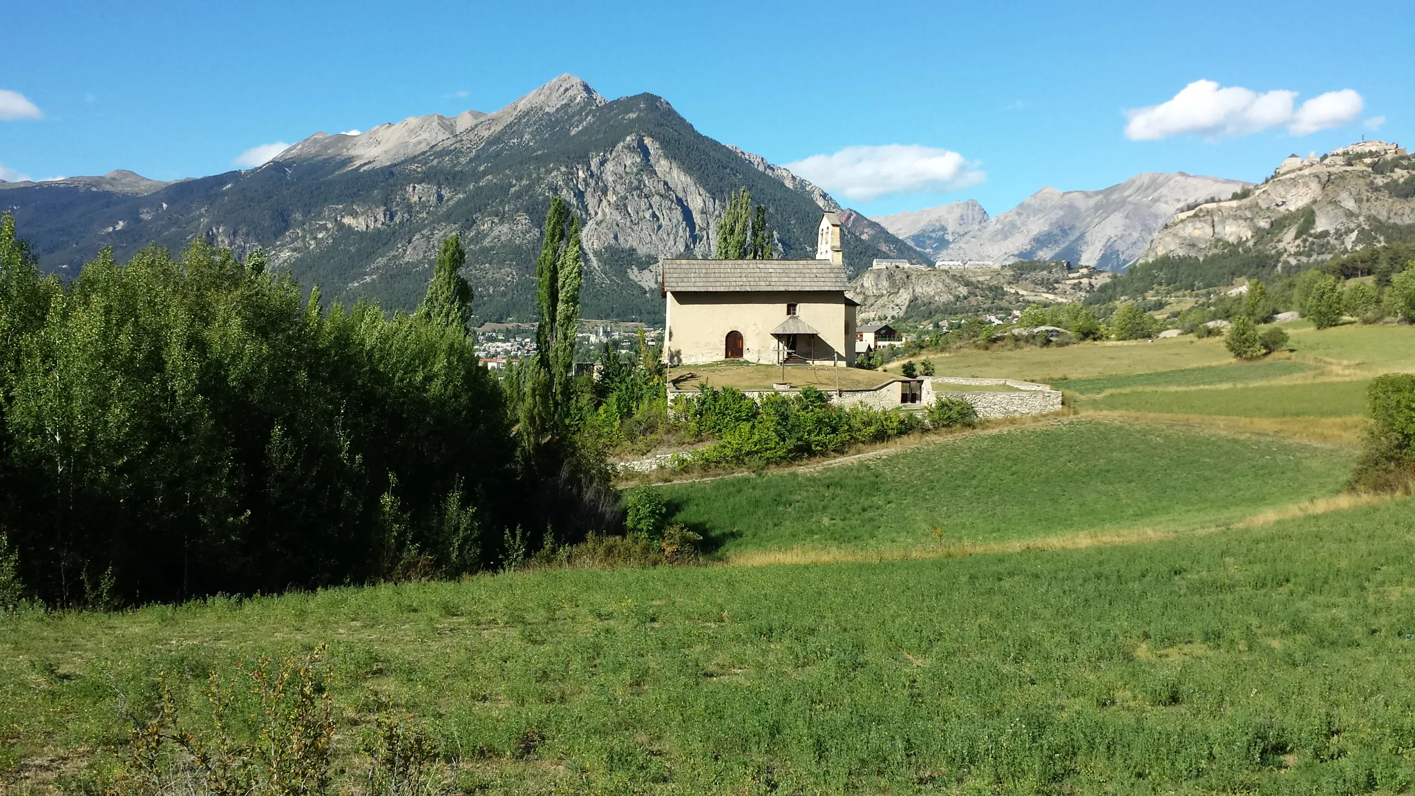
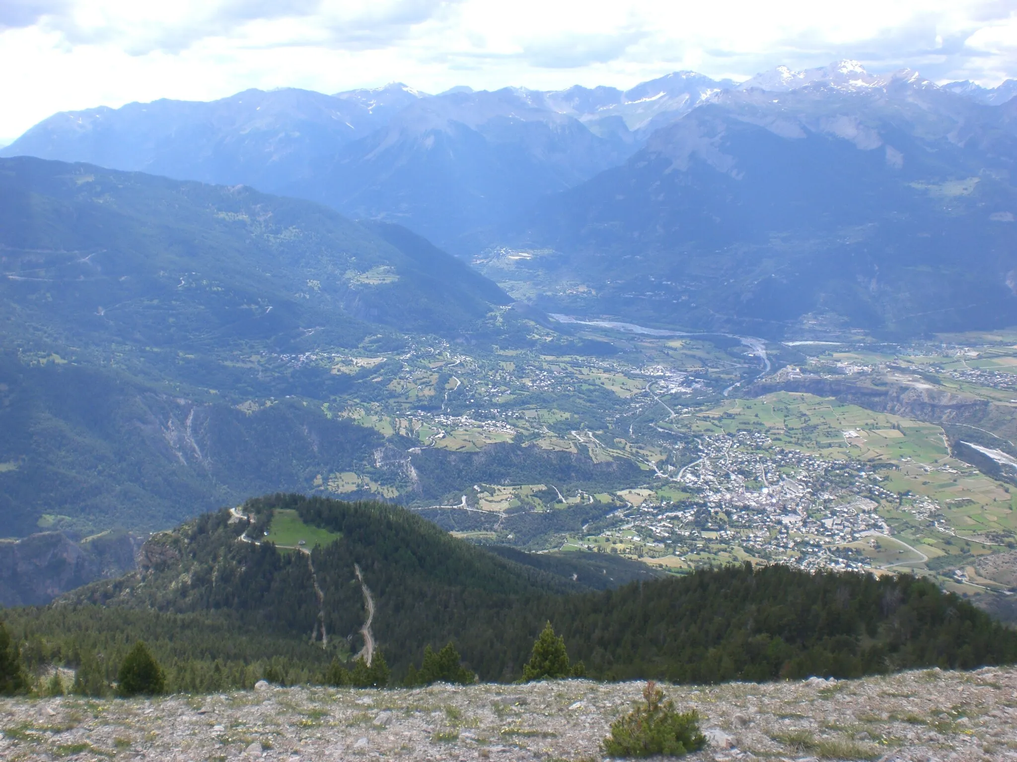
Briançon is located in the Provence-Alpes-Côte d’Azur region of France. Known as the highest town in Europe, Briançon offers breathtaking landscapes and challenging terrain for cyclists. From a cyclist's perspective, Briançon is a paradise for mountain climbing enthusiasts, with famous climbs nearby such as the Col du Galibier and Col d'Izoard. These legendary climbs have been featured in the Tour de France and attract cyclists from around the world. In addition to the iconic climbs, Briançon offers beautiful routes through alpine meadows and historic fortifications, providing a unique cycling experience. With its high-altitude setting and legendary climbs, Briançon is a top destination for cyclists seeking a challenging and rewarding cycling adventure.6 km
6 km
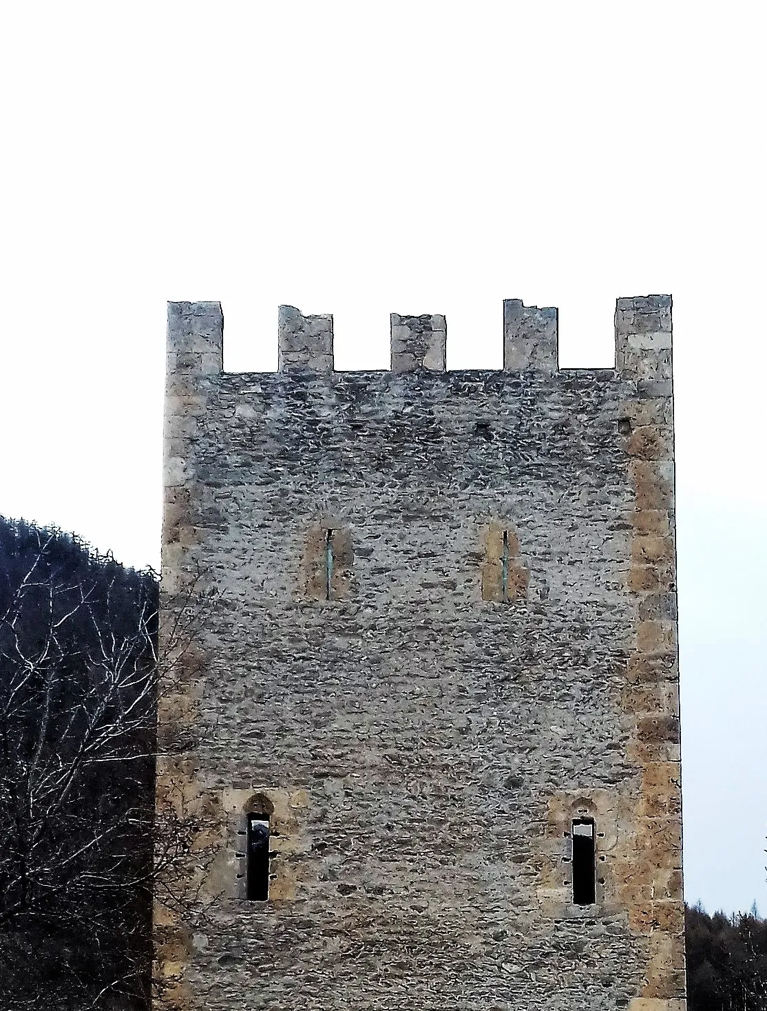
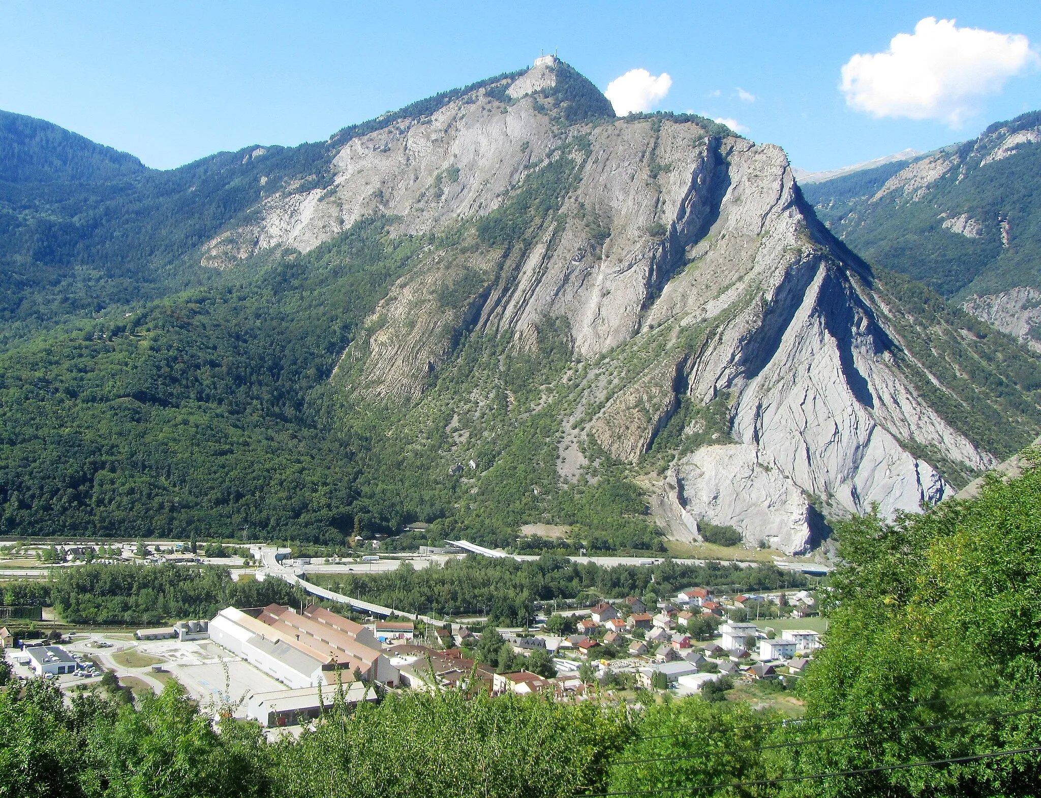
Fort des SalettesCastleThe Fort des Salettes is a historic fortress offering panoramic views of the surrounding mountains.
20 km
20 km
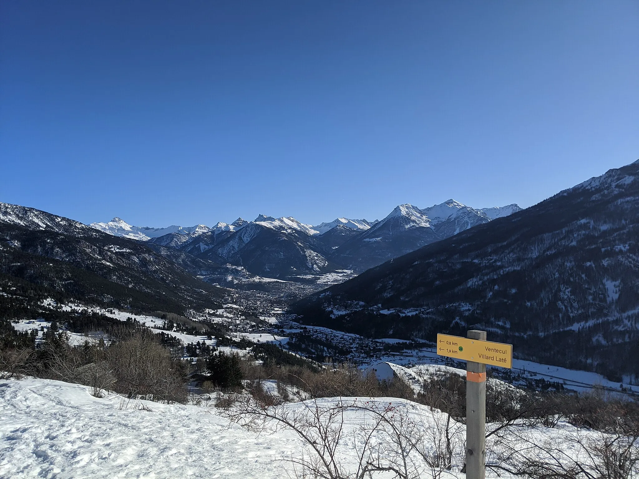
PlampinetHamletPlampinet is a charming village known for its rustic beauty and tranquil atmosphere.
26 km
26 km
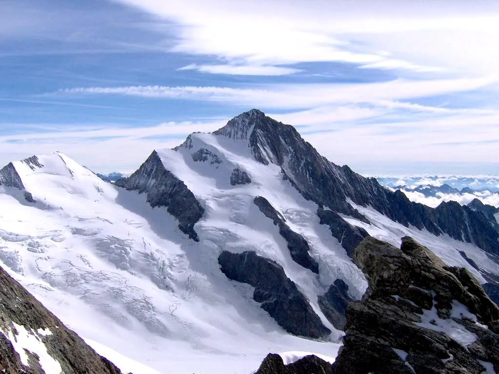
Col de l'Échelle1762 mMountain PassThe Col de l'Échelle is a mountain pass connecting France and Italy, offering breathtaking vistas.
38 km
38 km
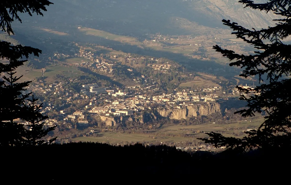
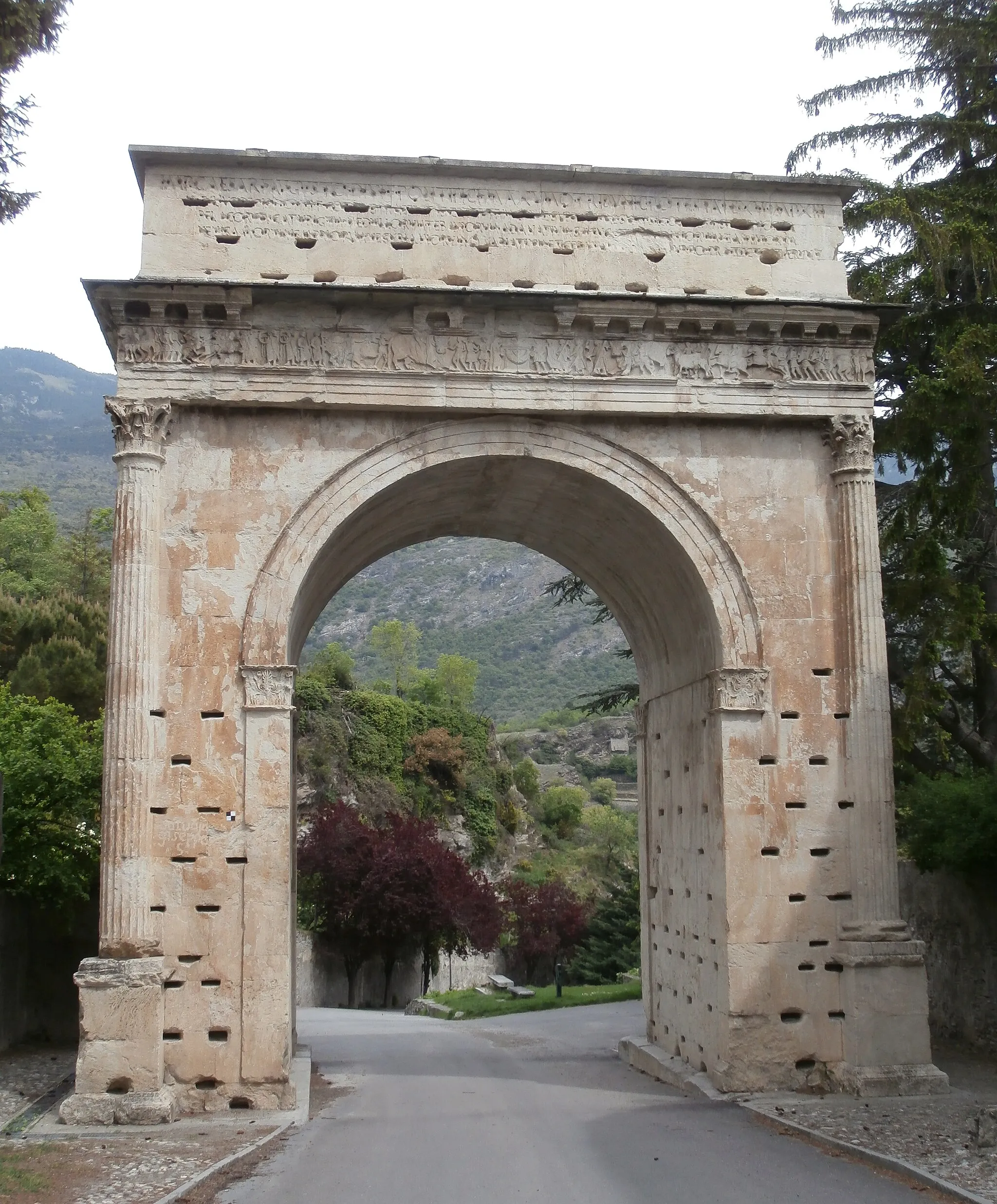
Chateaux1419 mPeakChateaux is a hamlet with beautiful medieval castles, providing a glimpse into the region's rich history.
44 km
44 km
BeaulardVillageBeaulard is a picturesque village surrounded by lush greenery and stunning nature.
64 km
64 km
Cesana TorineseVillageLocated in Italy, Cesana Torinese is a charming town known for its architectural beauty and delicious local cuisine.
79 km
79 km
Col de Montgenèvre1850 mMountain PassThe Col de Montgenèvre is a legendary mountain pass with dramatic scenery and challenging gradients.
89 km
89 km
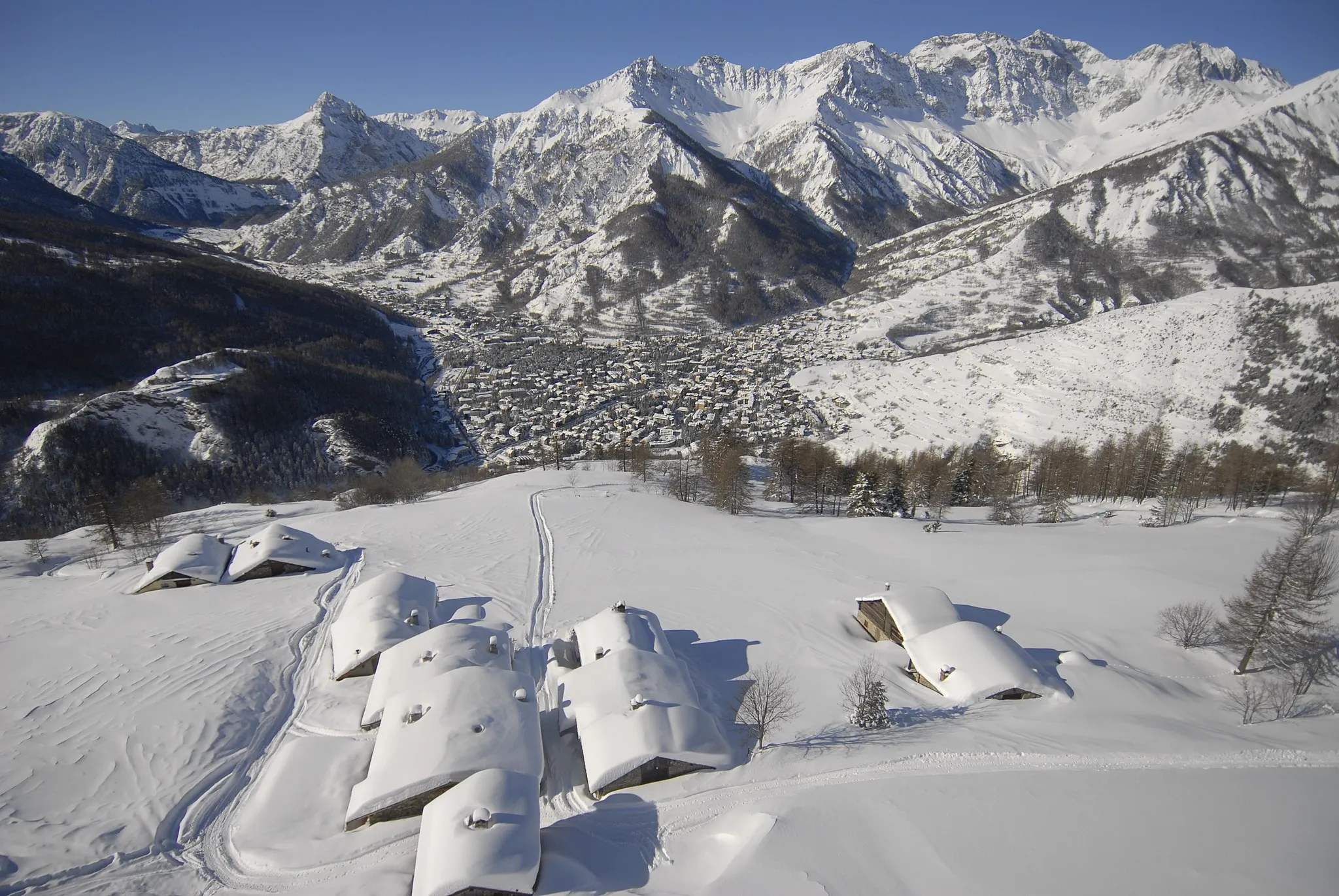
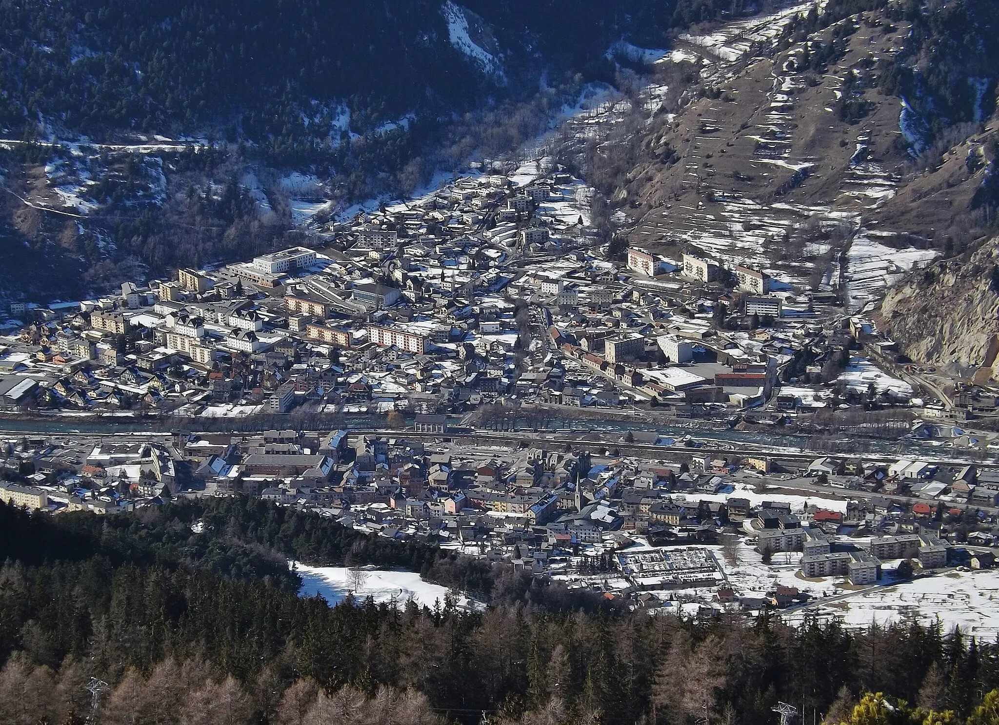
BriançonTownExplore the historic city of Briançon, a UNESCO World Heritage site famed for its well-preserved fortifications.
102 km
102 km
Finish: Puy-Saint-Pierre Village centerBriançon: Conquer the legendary mountain climbs and soak in the stunning alpine landscapes of Briançon.
Cycling routes from Briancon:
Cycling routes nearby: