Tour de Provence-Alpes
A road cycling route starting from Contes
A challenging road cycling tour through the stunning landscapes of Provence-Alpes
Map

Discover the beauty of Provence-Alpes on this epic road cycling route. With a challenging ascent of 2717 meters and a distance of 89 kilometers, this tour will test your endurance and take you through charming villages such as Contes and Touët-de-l'Escarène. The highlights of this route include the picturesque Col de Châteauneuf and the breathtaking Mont Gros.
road
89 km
2717 m
Tough
Route profile
Highlights on the route
0 km
0 km
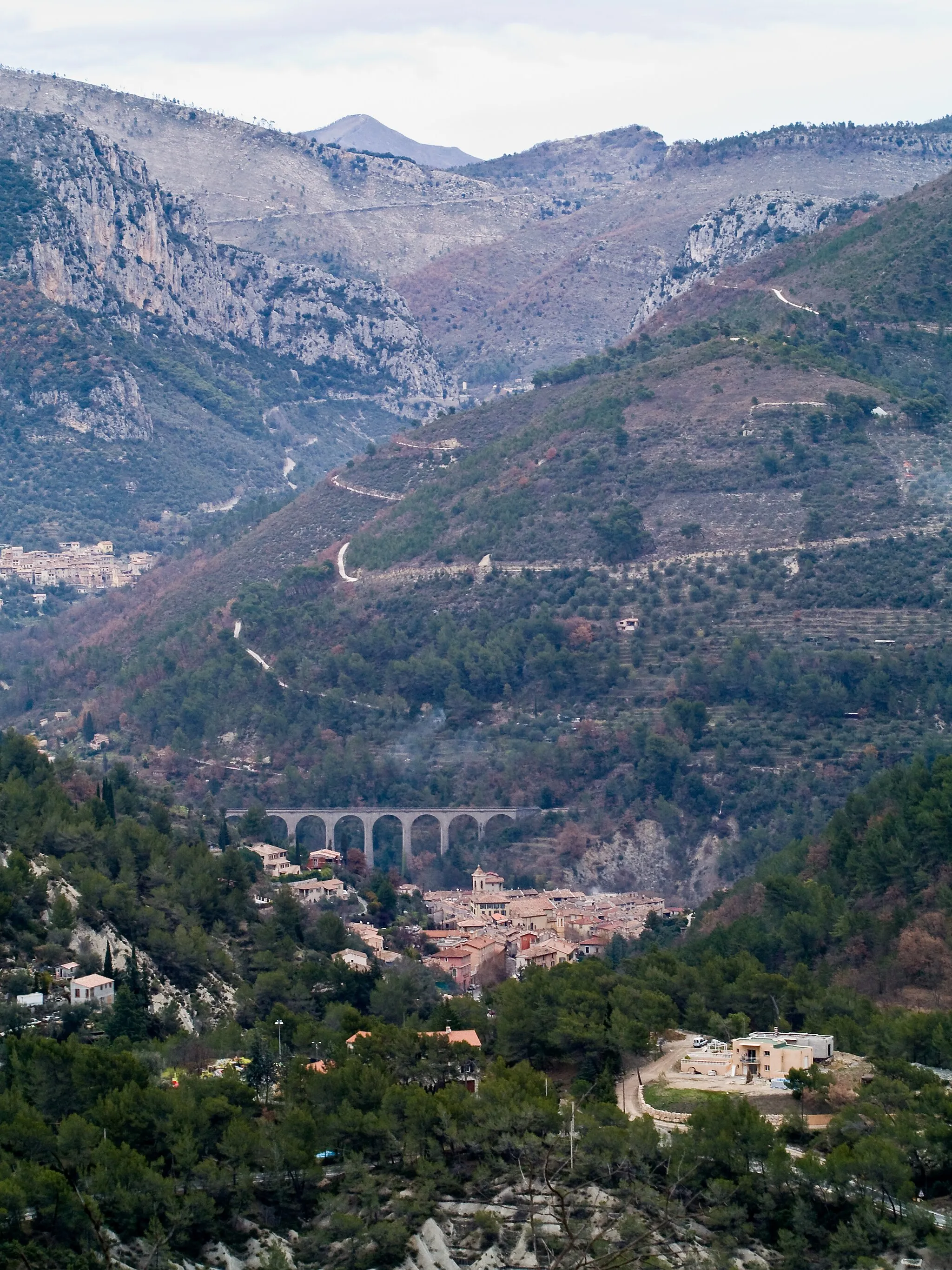
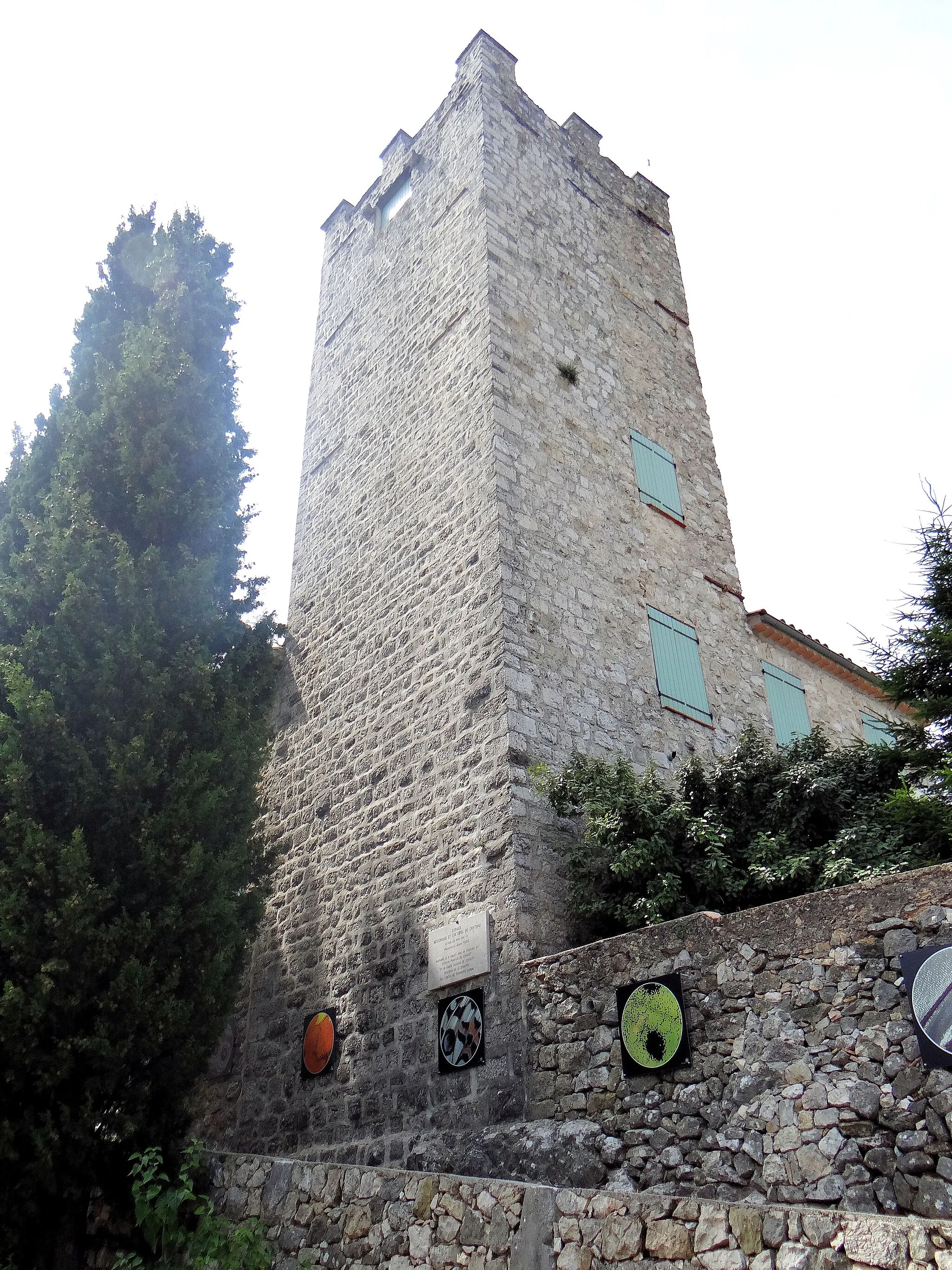
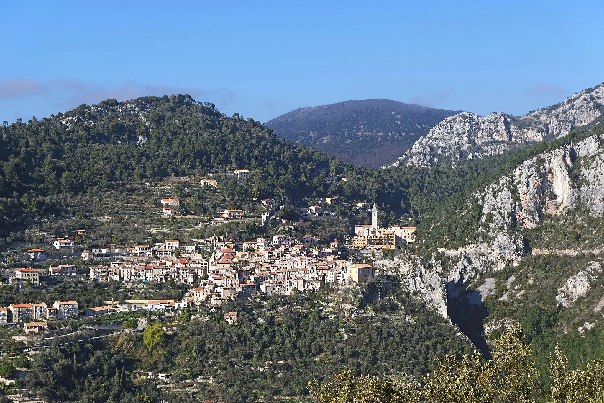
Start: Châteauneuf-Villevieille Village centerContes: Hidden gem for cyclists in Provence-Alpes-Côte d’Azur
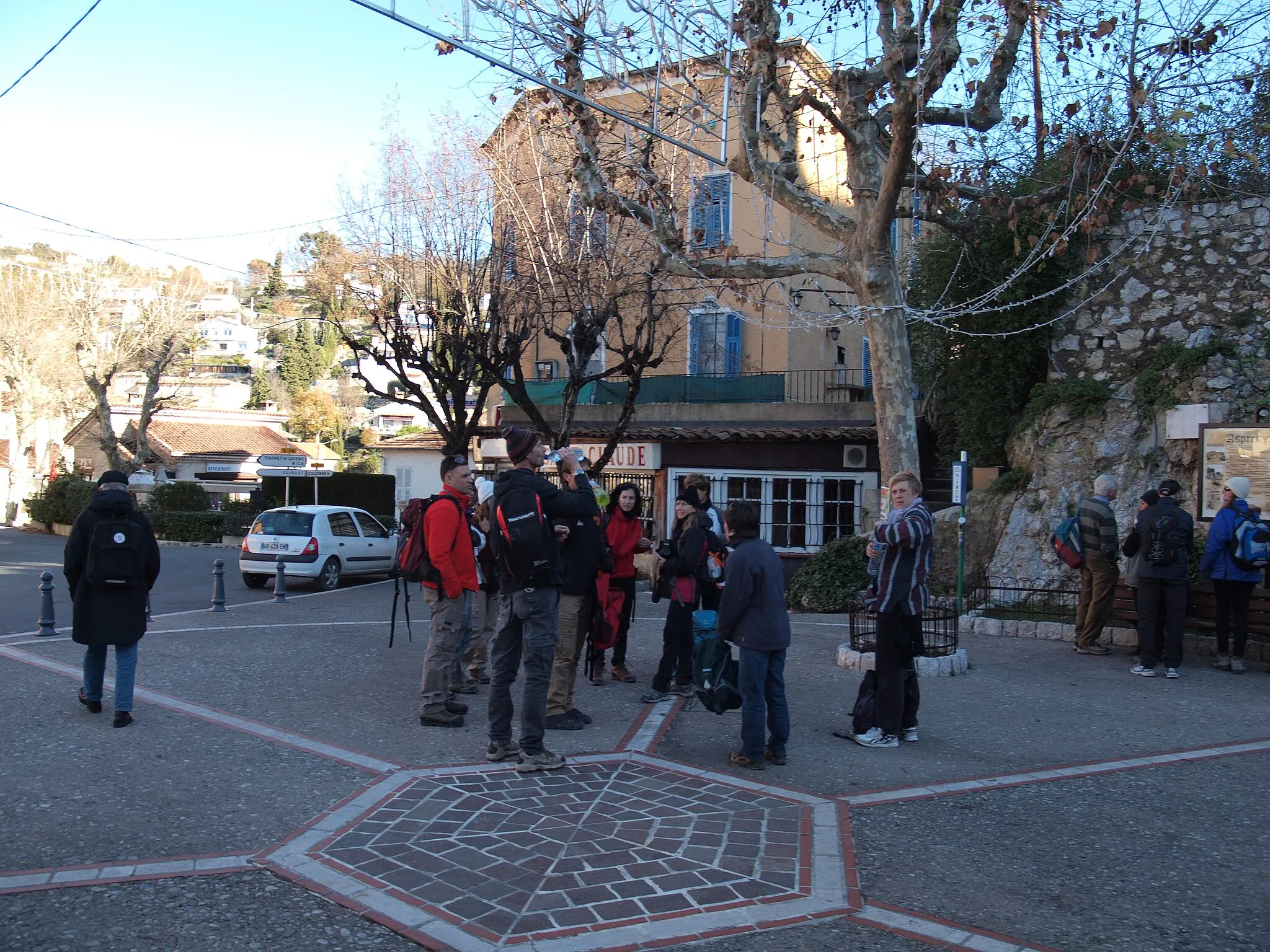
Contes in Provence-Alpes-Côte d’Azur, France is a hidden gem for road and gravel cyclists. The region offers a mix of challenging climbs and scenic coastal routes, making it a great destination for riders of all levels. Nearby, you can find the Col de Braus, a famous climb that is part of many cycling races. With its varied terrain and breathtaking views, Contes is a fantastic choice for cyclists wanting both a physical and visual challenge. 0 km
0 km
Col de Châteauneuf627 mMountain PassAdmire the stunning views from the top of Col de Châteauneuf.
6 km
6 km
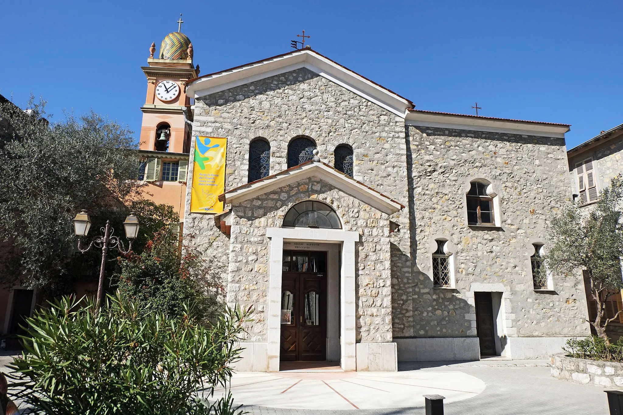
ContesVillageExplore the charming village of Contes.
18 km
18 km
Touët-de-l'EscarèneVillageExperience the peaceful atmosphere of Touët-de-l'Escarène.
26 km
26 km
Col de Braus1002 mMountain PassChallenge yourself with the ascent of Col de Braus.
37 km
37 km
Col de Castillon728 mMountain PassEnjoy the scenic beauty of Col de Castillon.
49 km
49 km
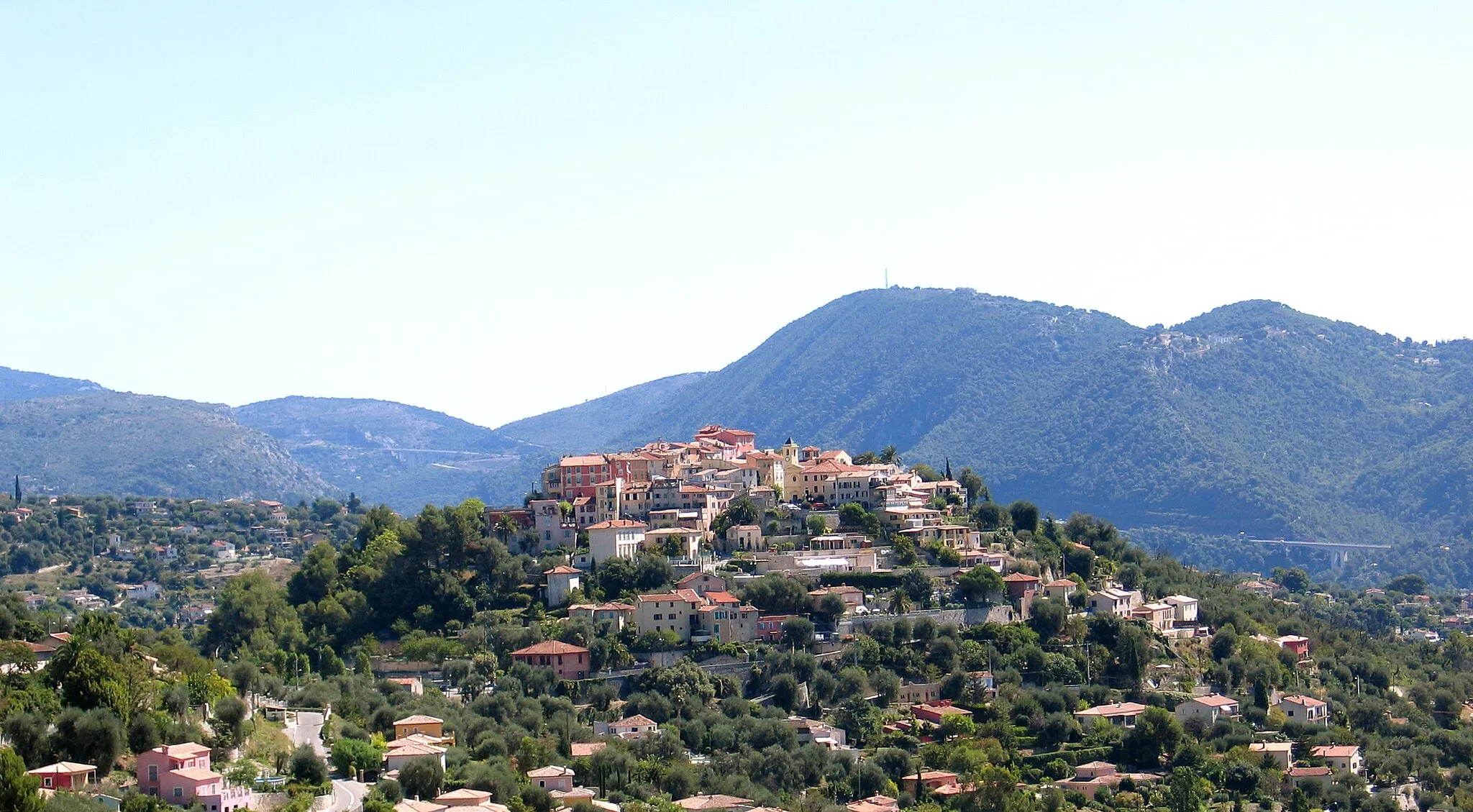
CastellarVillageVisit the medieval village of Castellar.
61 km
61 km
Mont Gros686 mPeakTake in the panoramic views from Mont Gros.
67 km
67 km
La TurbieVillageDiscover the historic town of La Turbie.
76 km
76 km
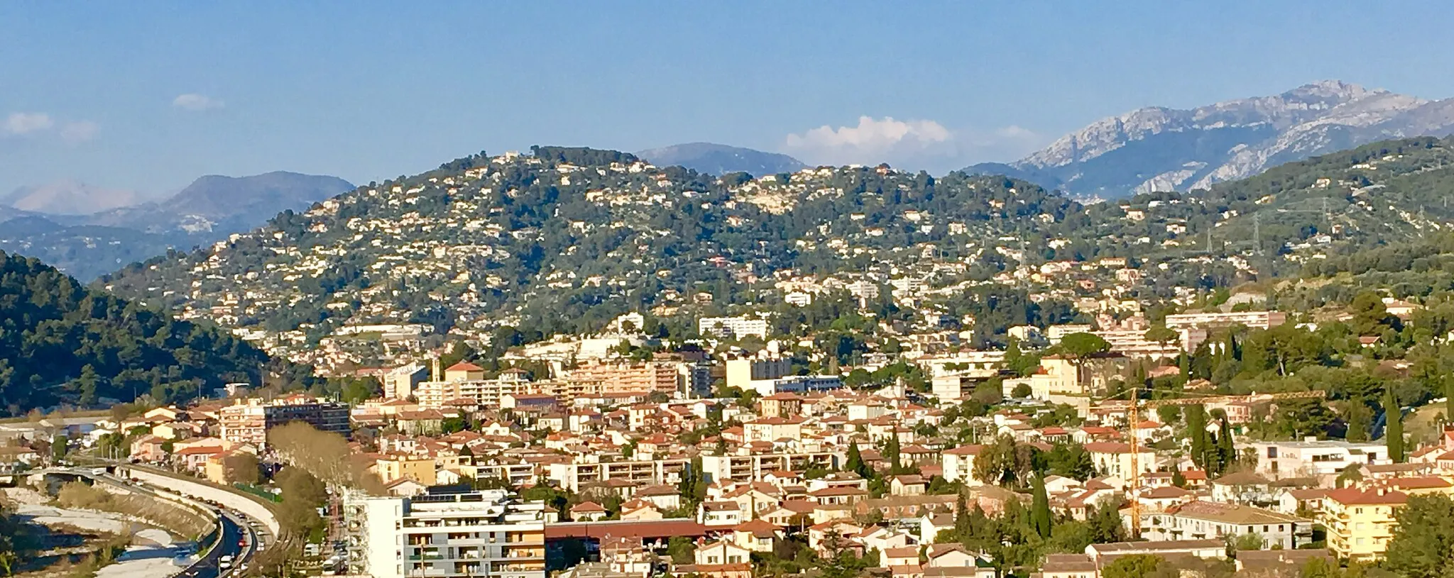
La TrinitéTownVisit La Trinité and explore its charming streets.
80 km
80 km
Cicilia339 mPeakCycle through the scenic countryside of Cicilia.
89 km
89 km
Finish: Châteauneuf-Villevieille Village centerContes: Hidden gem for cyclists in Provence-Alpes-Côte d’Azur
Cycling routes from Contes:
Côte d'Azur Loop Tour de Provence-Alpes Panoramic Provence-Alpes-Côte d’Azur Road Cycling Route Alpine Adventure Gravel Epic: The Grand Loop of Contes Riviera Coastal Ride Off-Road Adventure in Provence-Alpes-Côte d’Azur Gravel Cycling Route Gravel Adventure: Châteauneuf-Villevieille Loop Gravel Adventure The Riviera Explorer: Thrilling Road Adventure Gravel Adventure in the Provence-Alpes-Côte d'Azur
Cycling routes nearby: