The Enchanting Gravel Route
A gravel cycling route starting from Fontvieille
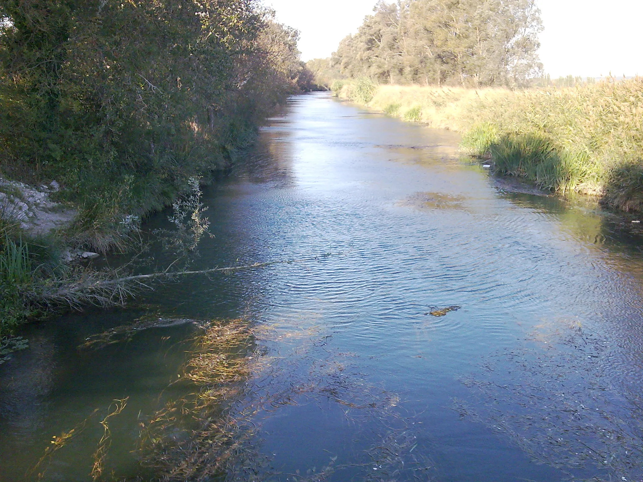
Explore the stunning scenery and challenging terrain of the Provence-Alpes-Côte d’Azur region on this gravel route
Map
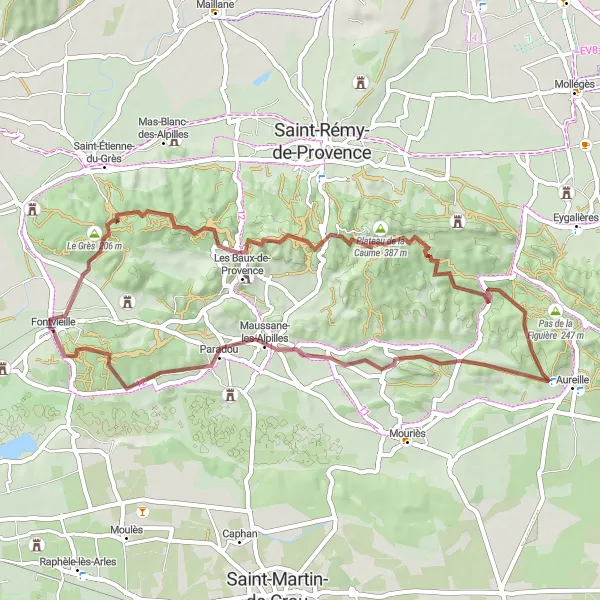
Embark on a thrilling gravel adventure in Provence-Alpes-Côte d’Azur, as you tackle challenging terrain and soak in the region's breathtaking natural beauty. Spanning 56 kilometers with a formidable ascent of 920 meters, this route offers a perfect balance of excitement and tranquility, taking you through picturesque landscapes and historic sites.
gravel
56 km
920 m
Tough
Route profile
Highlights on the route
0 km
0 km
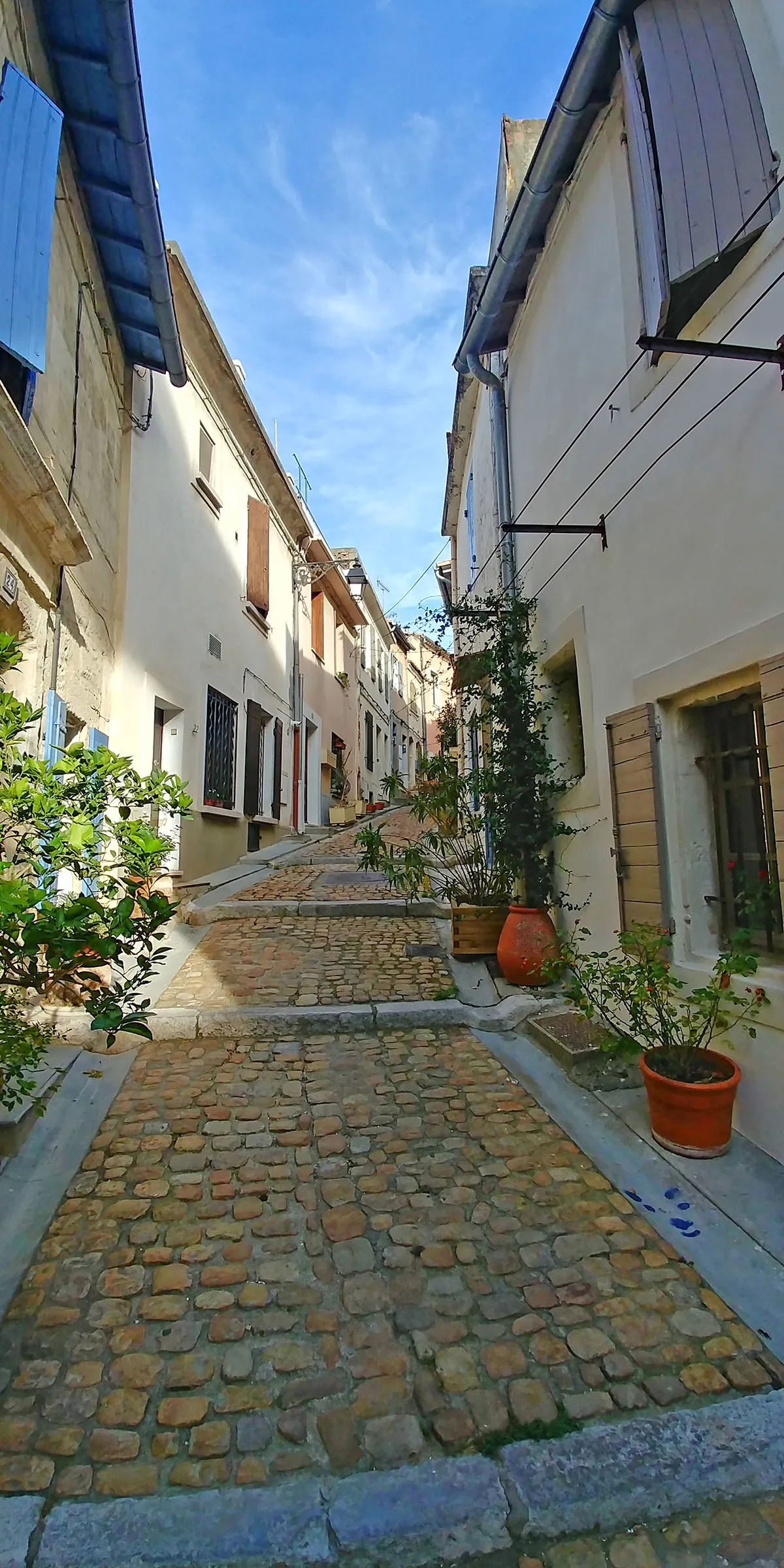
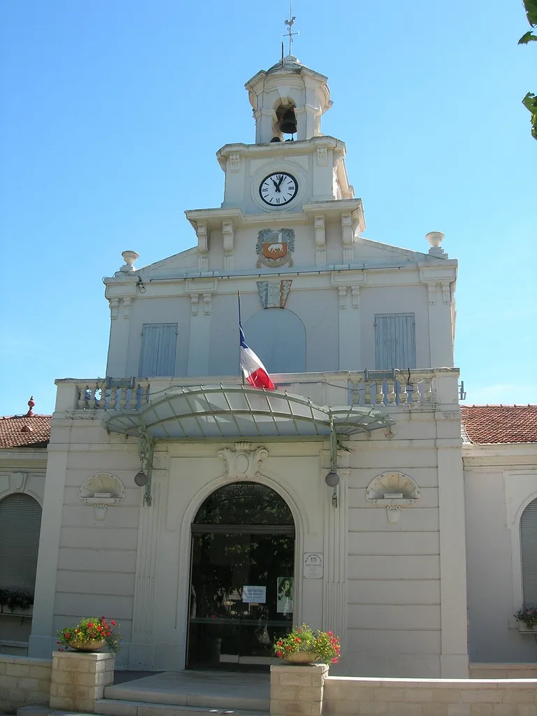
Start: Fontvieille Village centerFontvieille: Discover the stunning landscapes and conquer Mont Ventoux in Fontvieille
Fontvieille, located in the Provence-Alpes-Côte d’Azur region of France, is a cyclist's paradise with its diverse landscapes and world-class cycling routes. The area encompasses both the Mediterranean coastline and the rugged terrain of the Alpilles mountains. Road and gravel cyclists can enjoy everything from scenic coastal rides to challenging mountain climbs. Fontvieille is also an excellent starting point to explore the iconic Mont Ventoux, haild as one of the most challenging climbs in professional cycling. With its combined natural beauty and prestigious cycling routes, anyone seeking an unforgettable cycling experience will find Fontvieille to be an exceptional destination.12 km
12 km
Val d'EnferAttractionDiscover the mystical Val d'Enfer (Valley of Hell) as you ride through its impressive rock formations and steep cliffs.
12 km
12 km
Col de la Vayède224 mMountain PassConquer the challenging Col de la Vayède, known for its serene surroundings and panoramic views of the surrounding countryside.
17 km
17 km
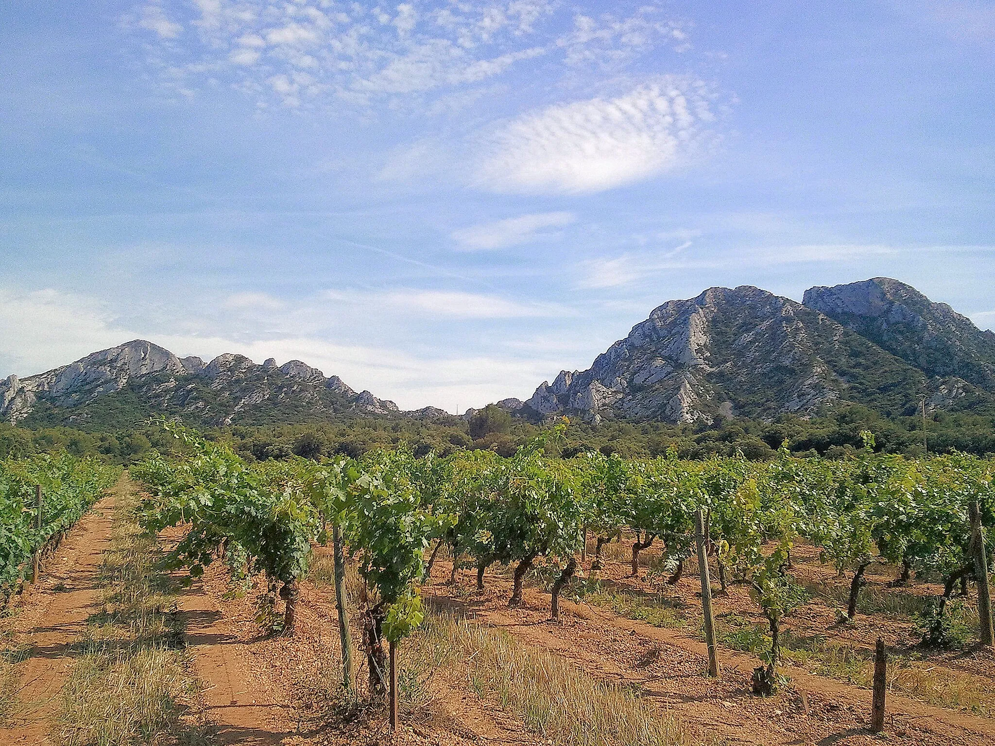
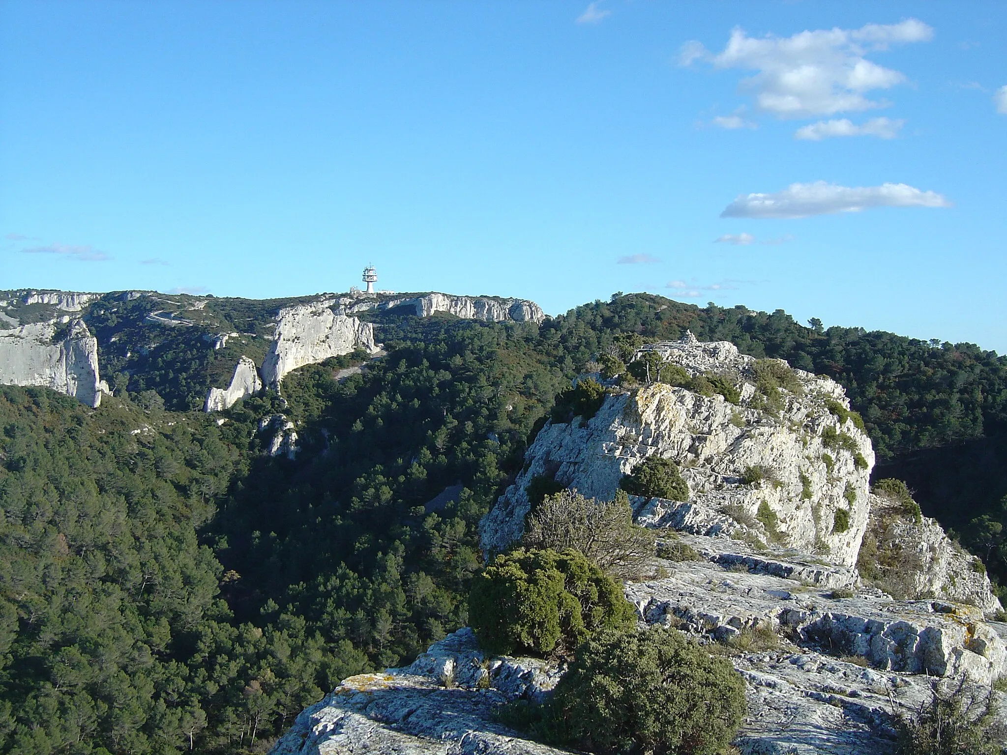
Mont Gaussier306 mPeakTake a break at Mont Gaussier and relish the scenic vistas of the Provençal lavender fields, olive groves, and vineyards.
17 km
17 km
Sentier botaniqueAttractionImmerse yourself in the beauty of nature at the Sentier botanique trail, where you can encounter a diverse range of local flora and fauna.
39 km
39 km
Pas du Loup163 mPeakChallenge yourself to climb the Pas du Loup, a steep and thrilling section of the route that rewards you with thrilling views at the top.
42 km
42 km
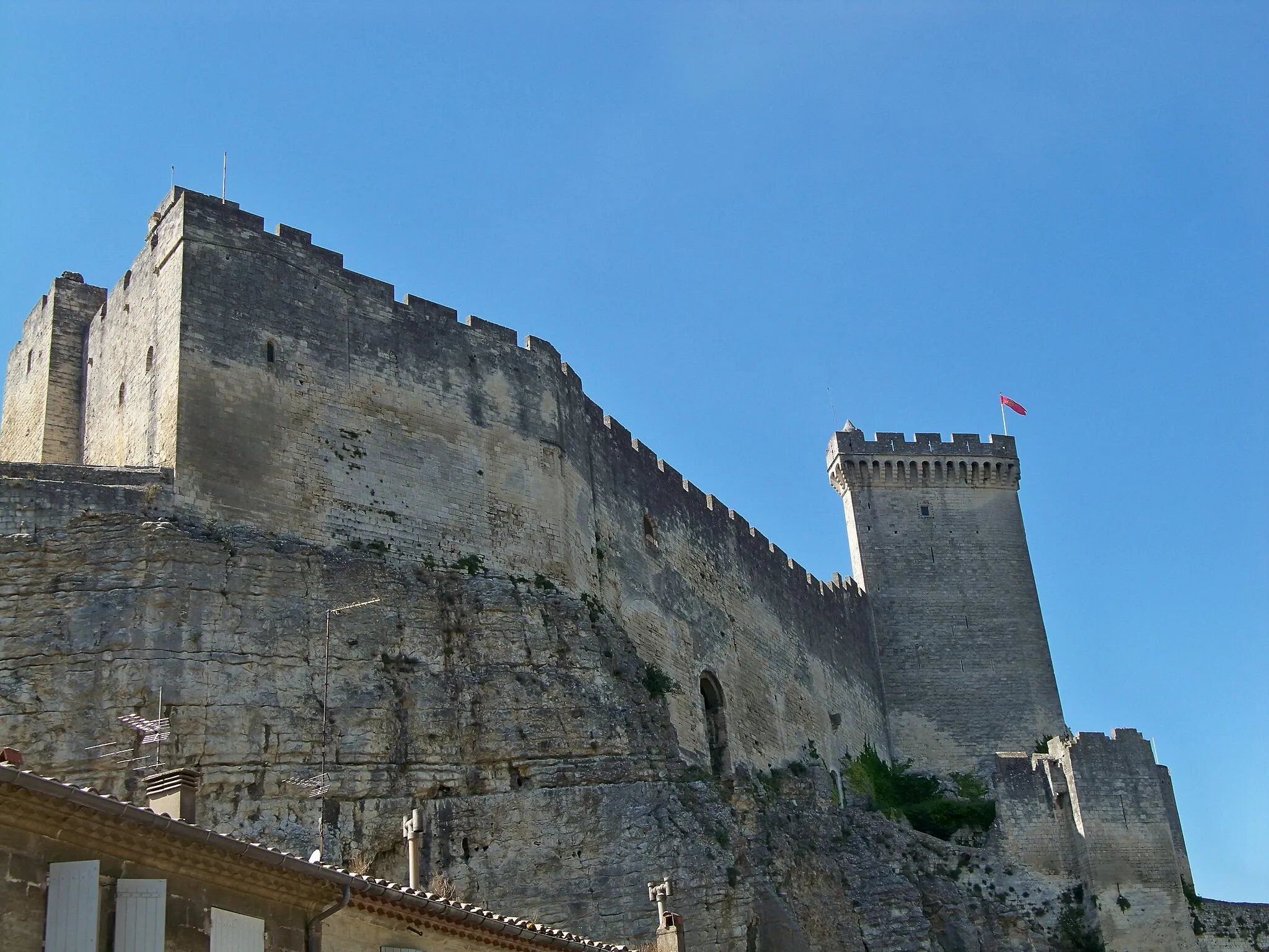
Moulin á Huile du Mas de BarresAttractionVisit the Moulin á Huile du Mas de Barres, a historical oil mill where you can learn about the traditional olive oil production methods of the region.
55 km
55 km
Moulin SourdonAttractionExperience the rustic charm of Moulin Sourdon, an old mill nestled amidst picturesque surroundings, and catch a glimpse of its working mechanisms.
56 km
56 km
Finish: Fontvieille Village centerFontvieille: Discover the stunning landscapes and conquer Mont Ventoux in Fontvieille
Cycling routes from Fontvieille:
The Cavalerie Gate and Les 2 lions Scenic Road Ride with Historic Landmarks Explore the Rich Heritage of Provence Saint-Étienne-du-Grès and Château de Montauban Countryside Gravel Ride with Cultural Landmarks Château de Goubelet and Plateau des Antiques Le Castellas and Réserve naturelle des marais du Vigueirat Challenging Gravel Adventure in the Countryside The Enchanting Gravel Route Gravel Ride through the Heart of Provence
Cycling routes nearby: