Scenic country roads for pleasurable cycling.
Cycling routes from Greasque
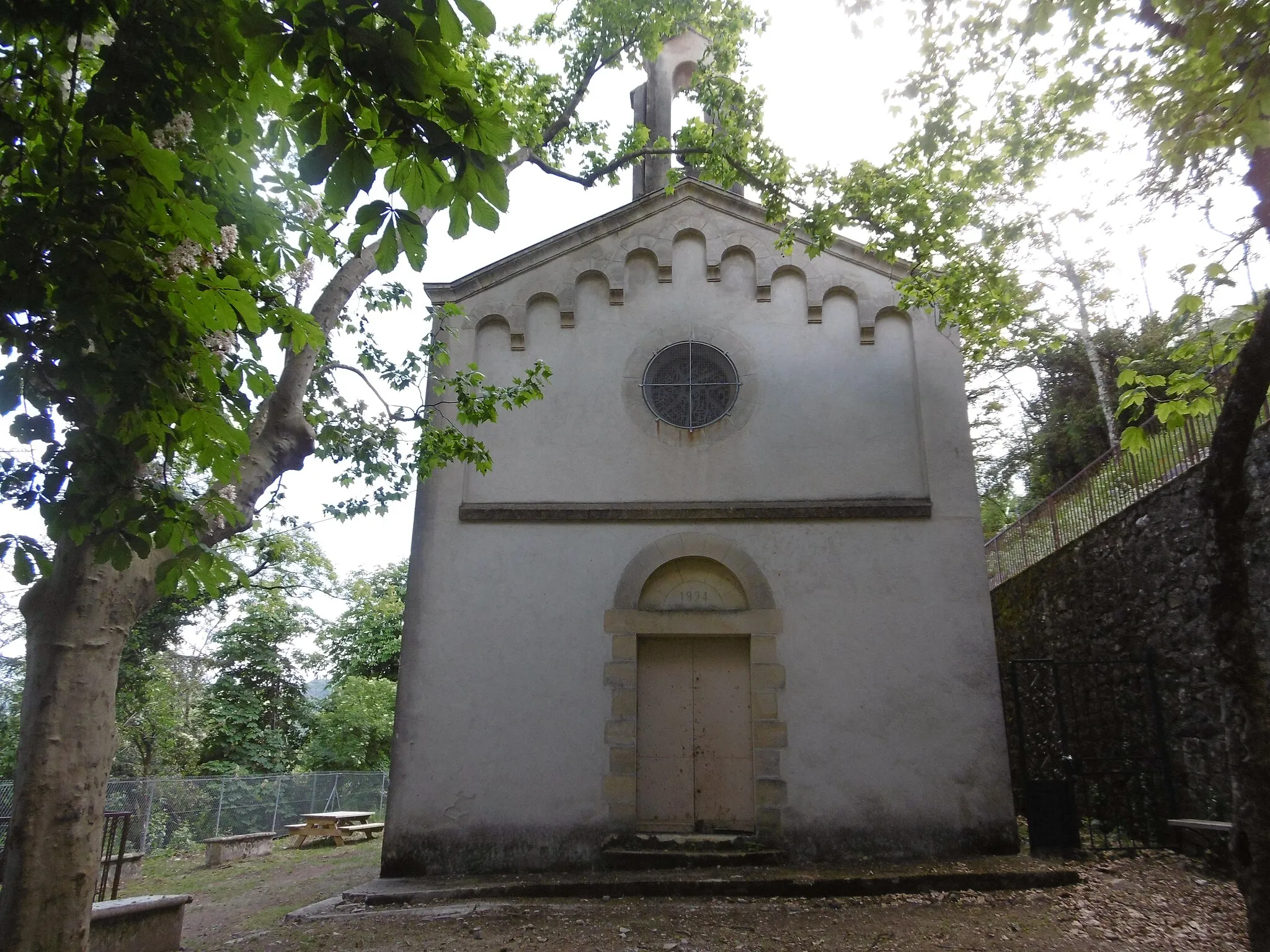
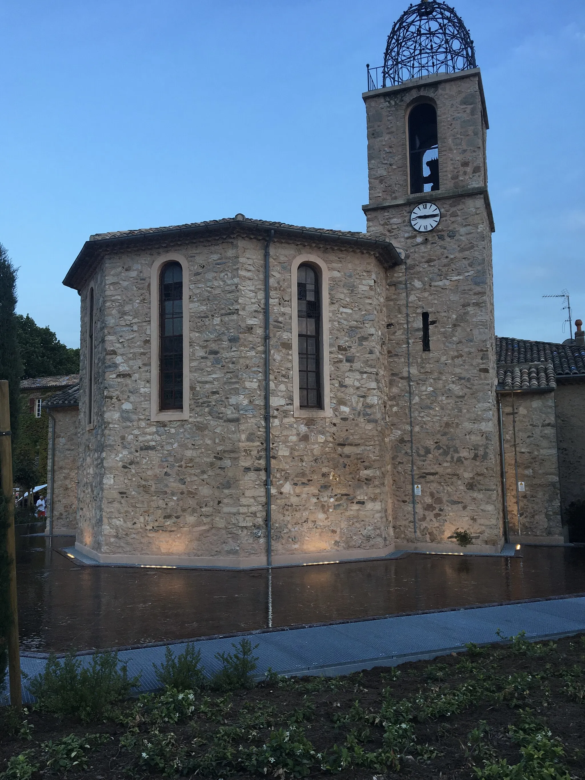
Gréasque is a commune located in the Provence-Alpes-Côte d’Azur region of France. From a cyclist's point of view, the town offers moderate cycling opportunities for both road and gravel cyclists. While there are no famous cycling spots or climbs nearby, Gréasque benefits from scenic country roads that are suitable for pleasurable rides. It is not a renowned cycling destination and does not have a dedicated cycling infrastructure. Overall, Gréasque ranks moderately on the cyclist-friendly scale and can be a pleasant stop for recreational cyclists exploring the Provence-Alpes-Côte d’Azur region.
Trets Ride

Enjoy a scenic ride to Trets from Gréasque on this challenging road cycling route
Embark on a challenging road cycling adventure from Gréasque to Trets and be rewarded with stunning views. With a total ascent of 730m over a distance of 69km, this route is suited for well-trained amateurs. The difficulty level is 4, offering a tough but achievable challenge. The epicness score for this route is 3, as it provides scenic landscapes and interesting highlights along the way.
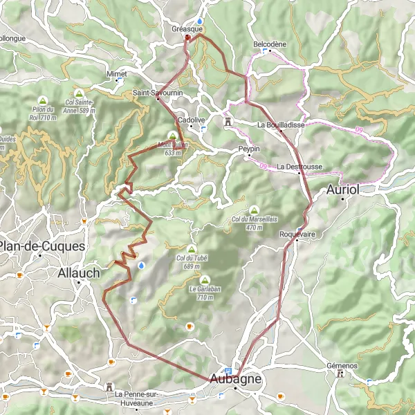
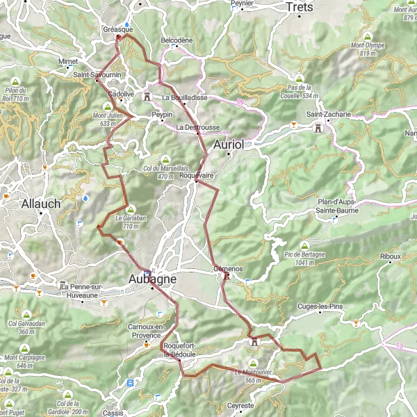
Experience the beauty of Provence on this 55-kilometer gravel cycling route.
Explore the stunning landscapes of Provence on this 55-kilometer gravel cycling route. Pedal through the charming towns of La Bouilladisse, Aubagne, and Saint-Savournin, and be captivated by the natural beauty of the Grande Tête Rouge. Admire the panoramic views from the summit of Mont Julien before returning to the starting point.

Take on the challenge of this 74-kilometer road cycling route near Gréasque.
Embark on an exhilarating road cycling adventure starting near Gréasque. The route features several challenging climbs, including the ascent to Col de l'Ange. Marvel at the stunning scenery as you pass through the towns of La Bouilladisse, Gémenos, and Aubagne. The highlight of the route is the iconic Mont Julien, which offers panoramic views of the surrounding countryside.
Gréasque Gravel Adventure
Embark on a thrilling gravel adventure starting from Gréasque
Begin your thrilling gravel adventure in Gréasque and discover the beauty of its surroundings. With a total ascent of 878m over a distance of 34km, this route is best suited for experienced gravel cyclists. The difficulty level for this route is 4, offering a challenging ride with rewarding views. The epicness score is 3, as it takes you through stunning landscapes and interesting highlights.
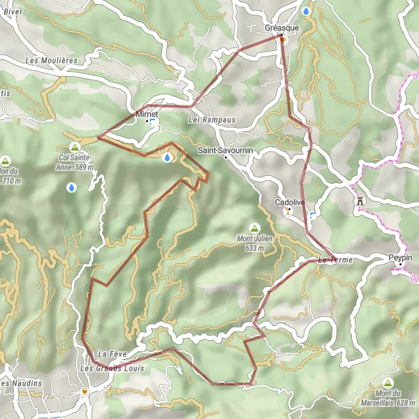
Cadolive Loop

Ride through Cadolive and Mimet on this scenic road route near Gréasque
Experience the beauty of Cadolive and glimpse the stunning views from Mimet on this road cycling route near Gréasque. With a total ascent of 884m over a distance of 61km, this route challenges even well-trained amateurs. The epicness score for this route is 4, as it offers picturesque landscapes and a moderate difficulty level.
Gravel Adventure in Gréasque
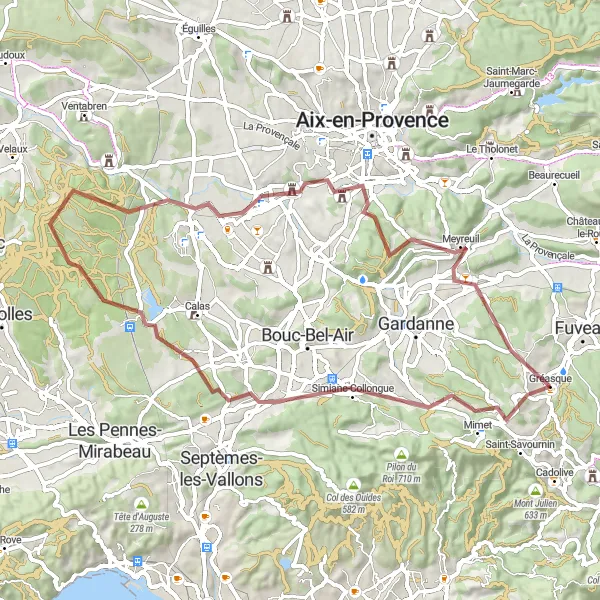
Discover the hidden gems of Gréasque on this thrilling gravel adventure.
Embark on a 64-kilometer gravel adventure starting near Gréasque and marvel at the breathtaking views from the Point de Vue de Pergine. Along the route, pedal through the picturesque towns of Simiane-Collongue and Meyreuil, before returning to Gréasque.

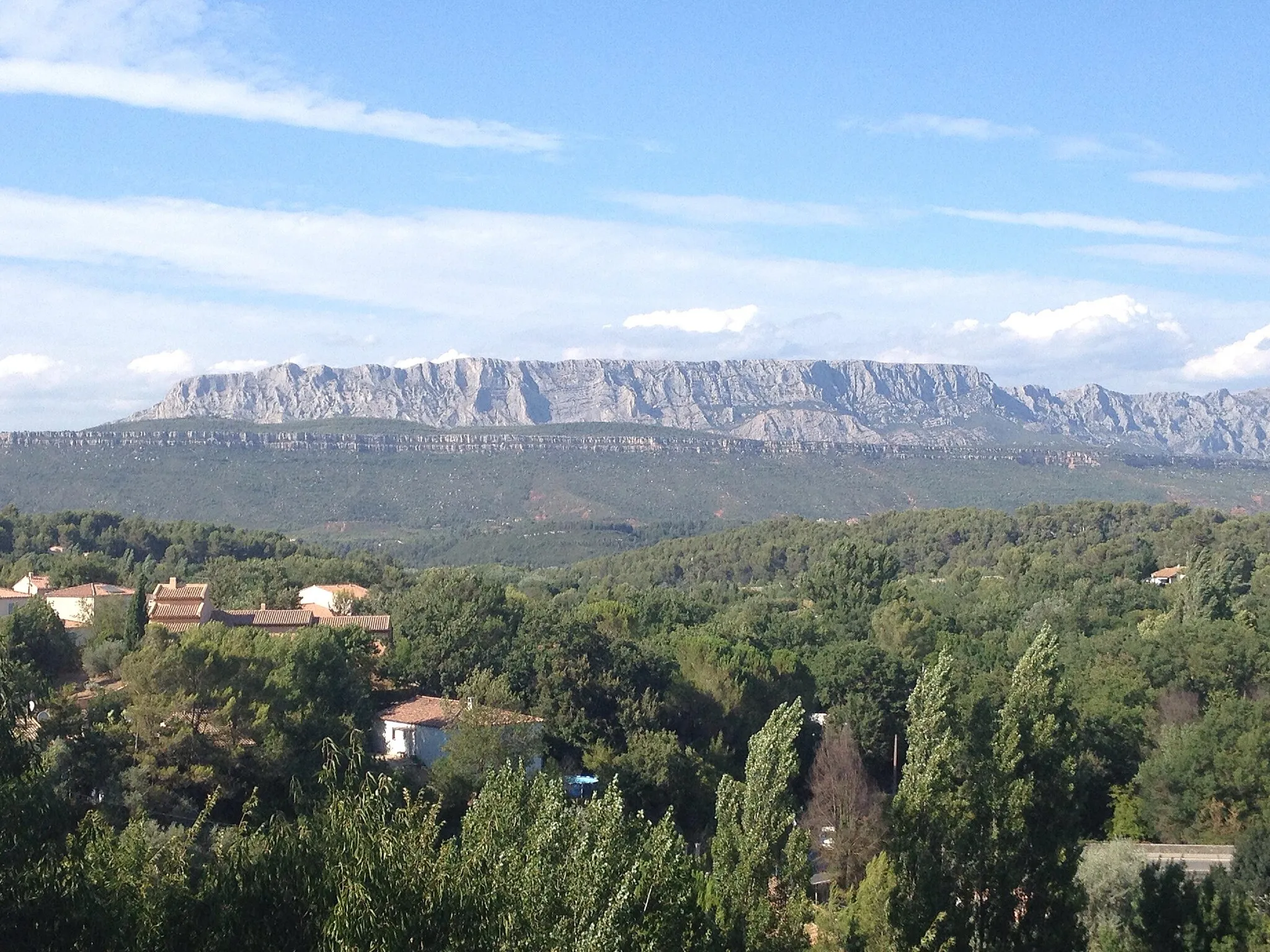
Conquer the breathtaking ascents and awe-inspiring landscapes of Provence-Alpes on this challenging road cycling route.
Embark on a once-in-a-lifetime journey through the diverse landscapes of Provence-Alpes. This road cycling route takes you through enchanting towns, past historic landmarks, and up challenging climbs. Get ready to be amazed by the stunning views of Mont Sainte-Victoire, the ancient Pont de Mirabeau, and the charming village of Jouques. This route offers a thrilling mix of exhilarating ascents and thrilling descents, making it a must-do for road cycling enthusiasts. With a difficulty rating of 4 and an epicness score of 4, this route is perfect for well-trained amateurs seeking a true cycling adventure.

Embark on a challenging gravel adventure in the heart of Etoile Massif
Explore the rugged beauty of Etoile Massif on this challenging gravel cycling adventure. With a total ascent of 1200m over a distance of 59km, this route is best suited for experienced gravel cyclists. The difficulty level for this route is 5, offering a true test of endurance and skill. The epicness score is 4, as the route takes you through stunning landscapes and offers unique highlights along the way.
An epic gravel route with stunning mountain scenery
Embark on an exciting gravel adventure in Provence-Alpes-Côte d’Azur with this cycling route starting near Gréasque. Ride through rugged terrains and explore towns like La Bouilladisse, Gémenos, and Roquefort-la-Bédoule. Conquer the challenging ascent of Col de l'Ange and Pas d'Ouillier, and savor the beautiful views from Aubagne and Col du Tubé. This route is suitable for experienced riders seeking an epic cycling adventure.
Fuveau Gravel Loop
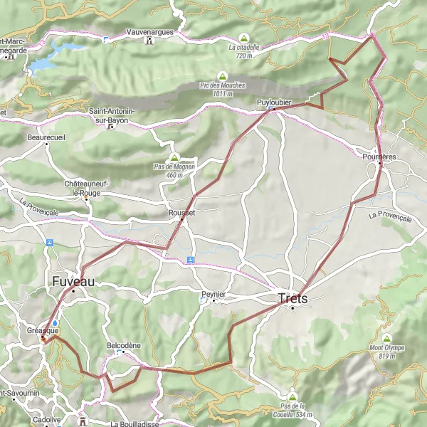
Embark on a picturesque gravel loop through Fuveau and Puyloubier
Discover the scenic beauty of Fuveau and Puyloubier on this picturesque gravel cycling loop. With a total ascent of 733m over a distance of 58km, this route is suited for intermediate gravel cyclists. The difficulty level for this route is 3, providing an enjoyable and challenging ride. The epicness score is 3, as it takes you through beautiful landscapes and interesting highlights.
Cycling routes nearby:


Nearby regions: