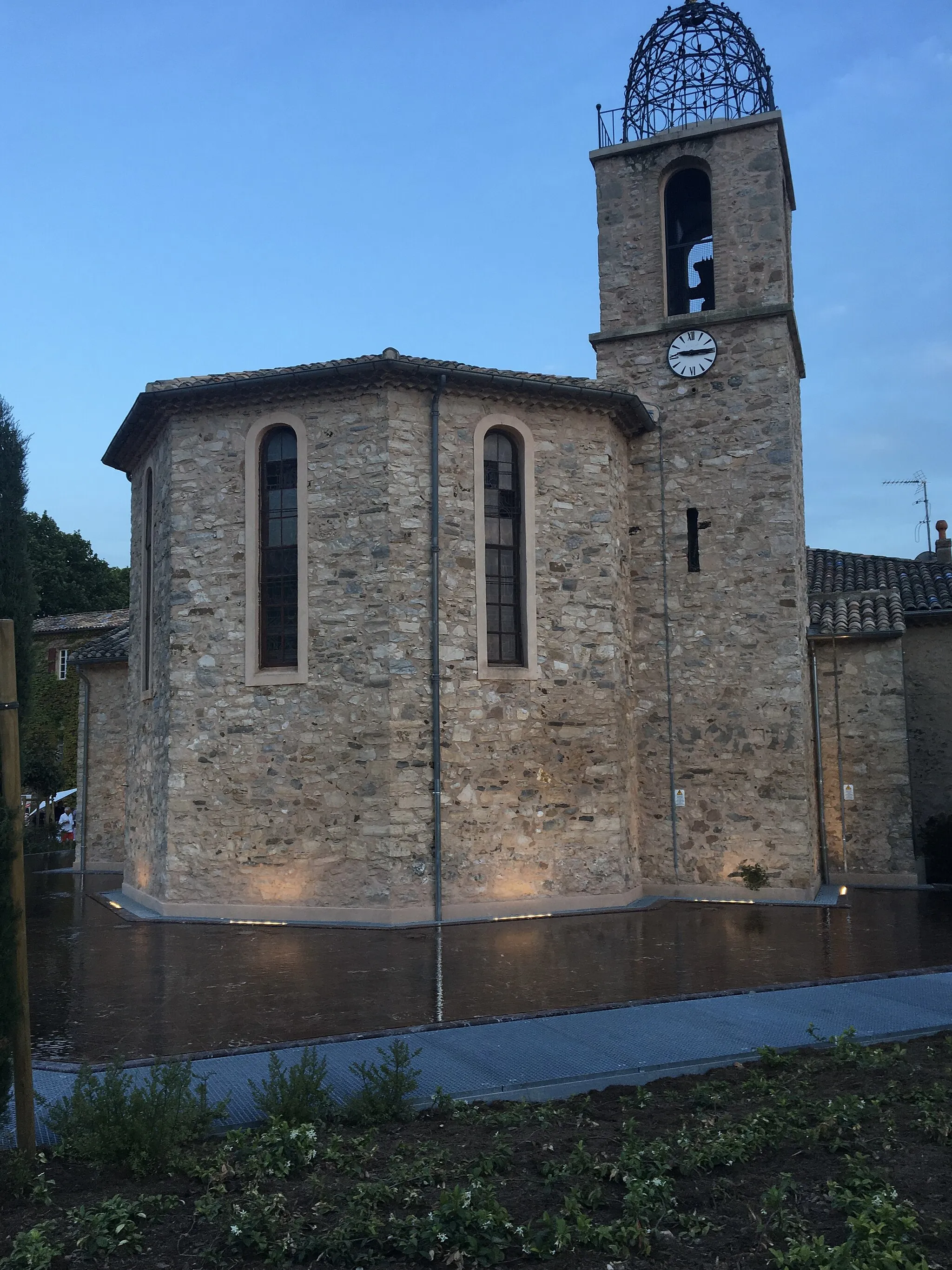
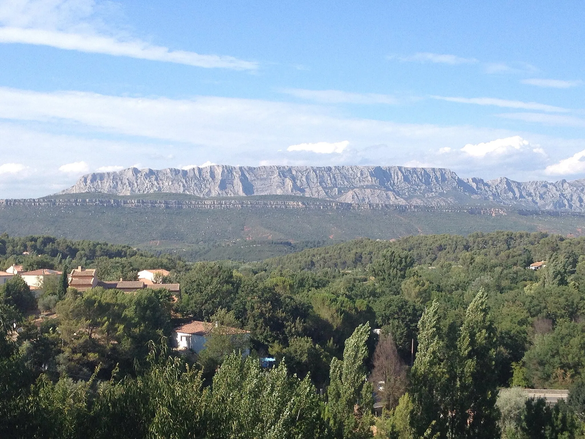
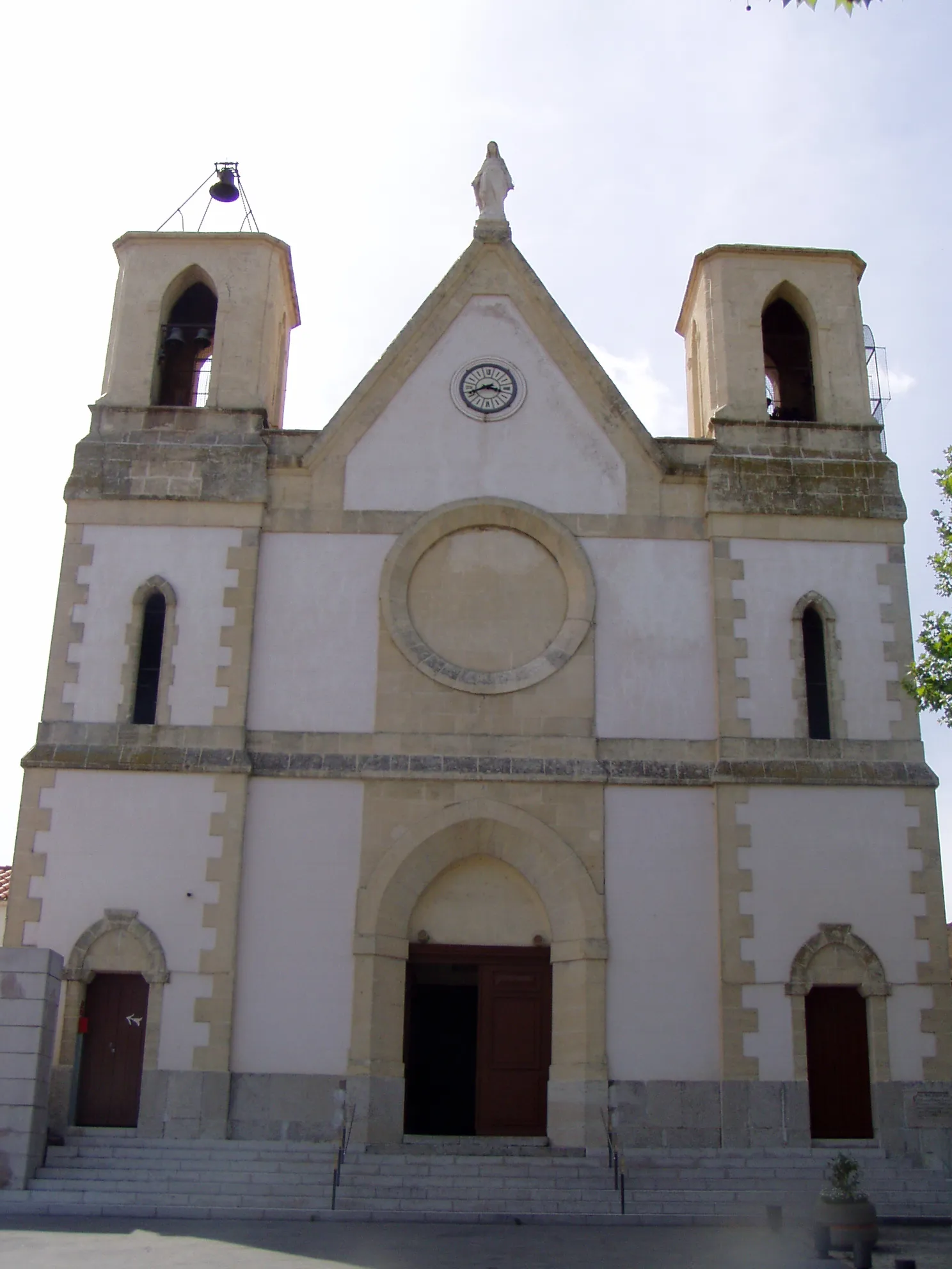
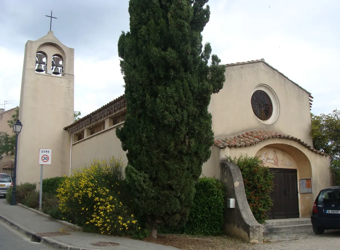
Conquer legendary climbs in the cycling paradise of Châteauneuf-le-Rouge
Cycling routes from Chateauneuf-le-Rouge
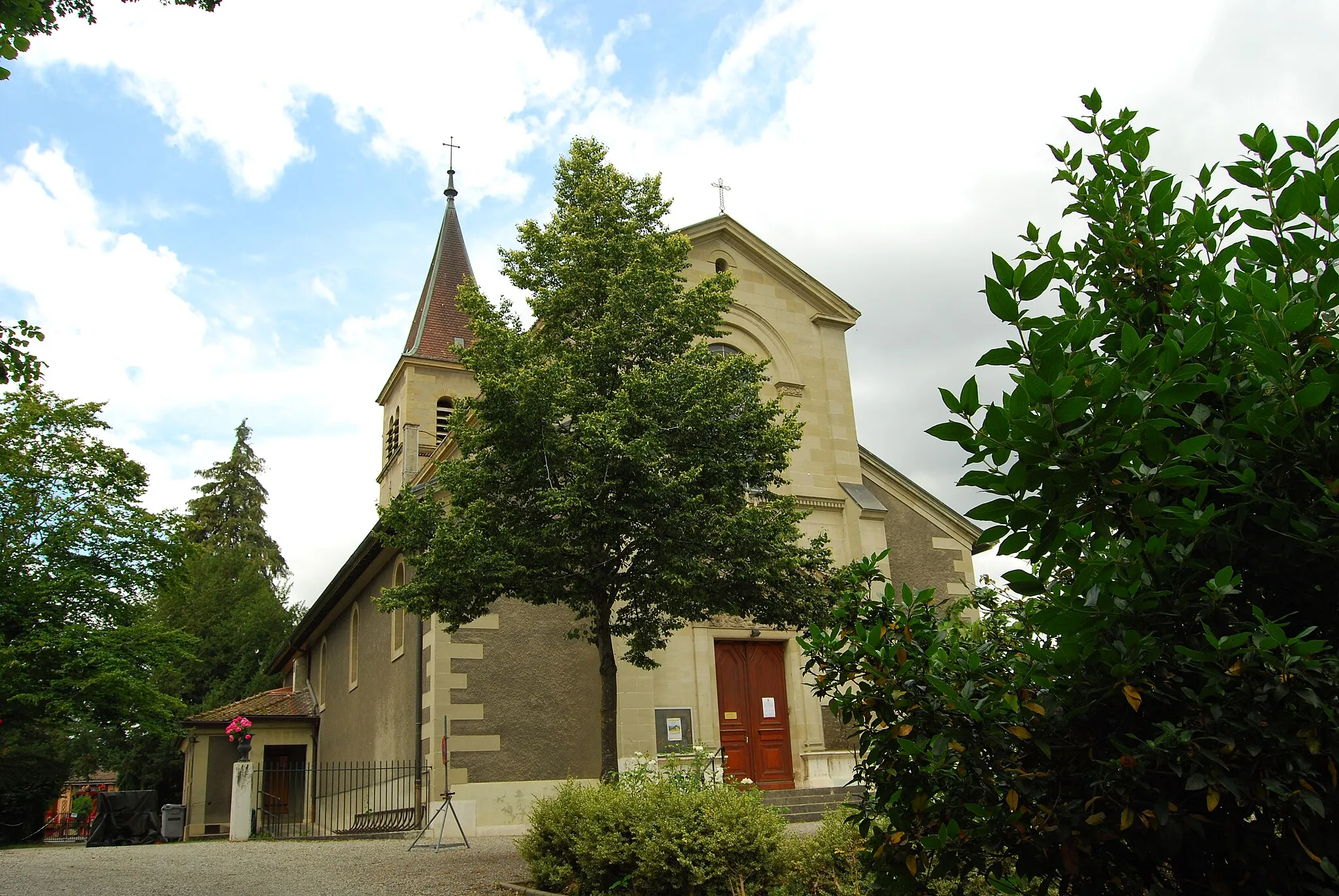
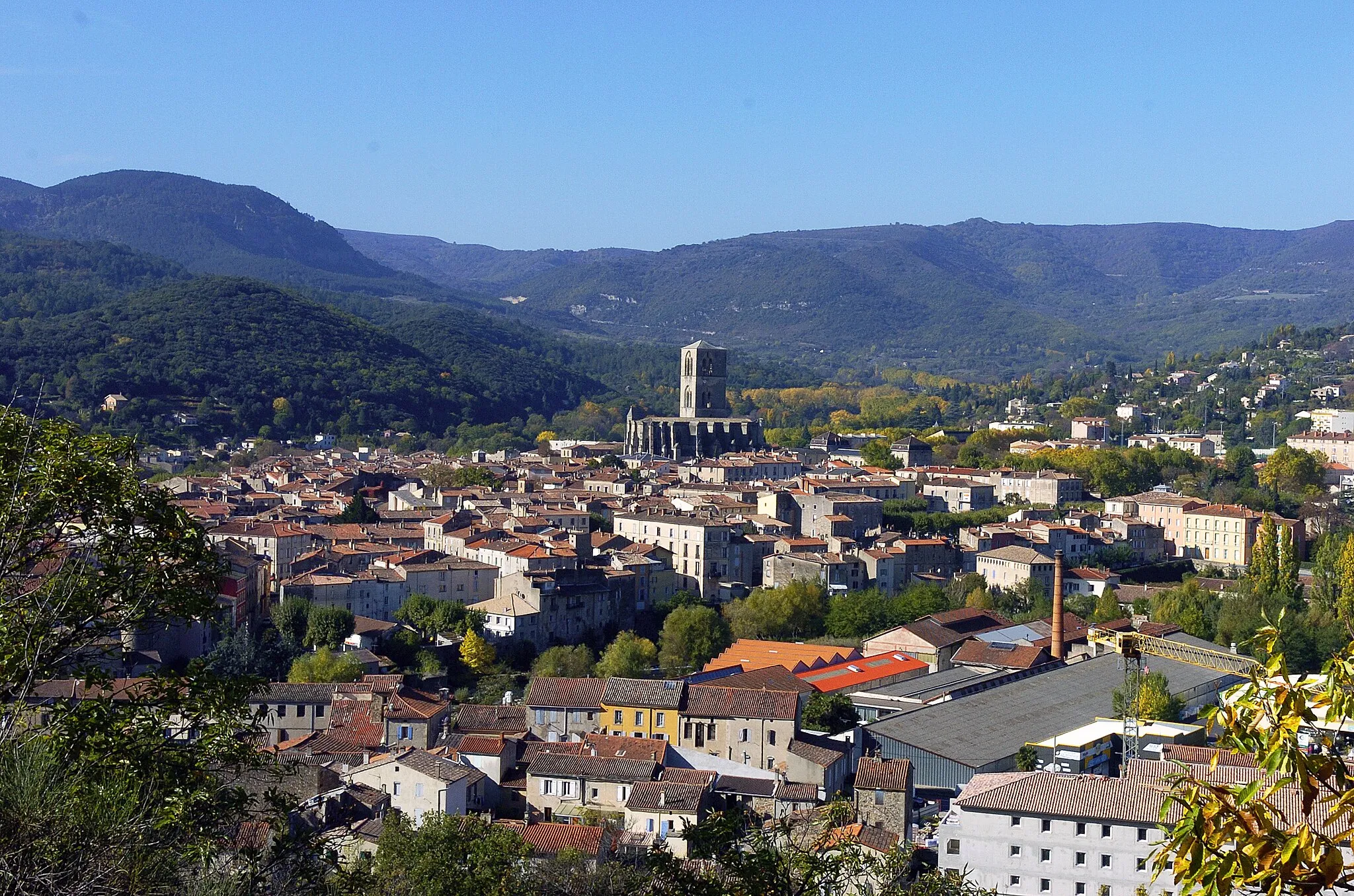
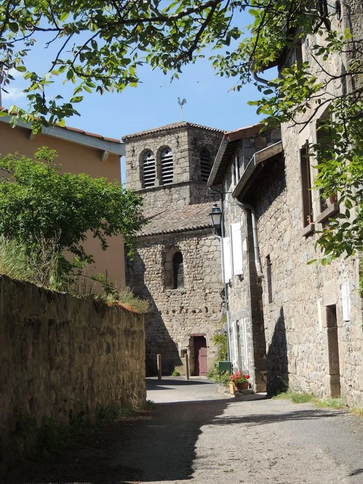
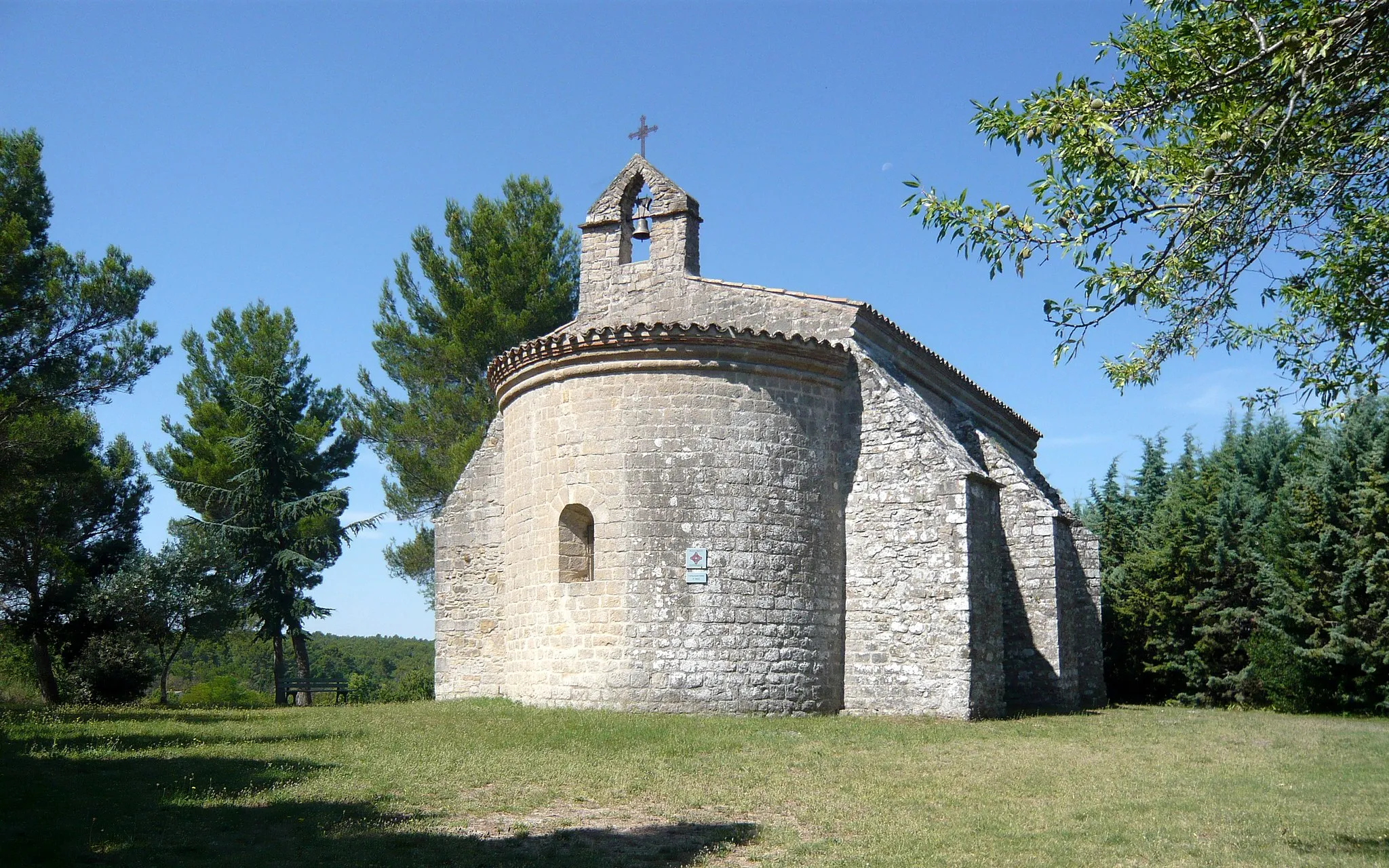
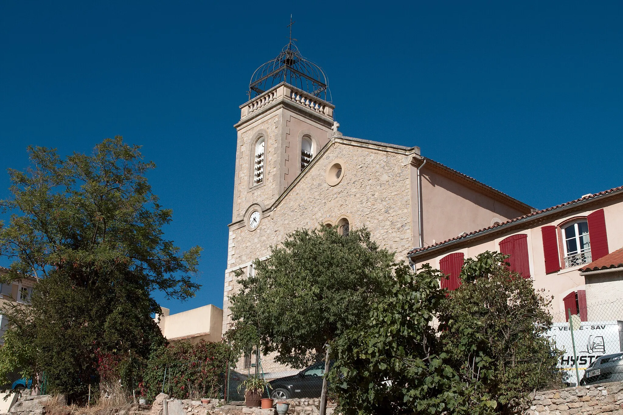
Châteauneuf-le-Rouge is a delightful locality situated in the Provence-Alpes-Côte d’Azur region of France. From a cyclist's perspective, Châteauneuf-le-Rouge offers both challenging mountainous terrain and scenic coastal routes. Cyclists can enjoy riding through the charming villages and taking in the breathtaking views of the surrounding countryside. The region near Châteauneuf-le-Rouge is known for iconic climbs like Mont Ventoux and Col de la Gineste, attracting cyclists from all over the world. With its diverse cycling routes and famous climbs, Châteauneuf-le-Rouge is a paradise for cyclists.
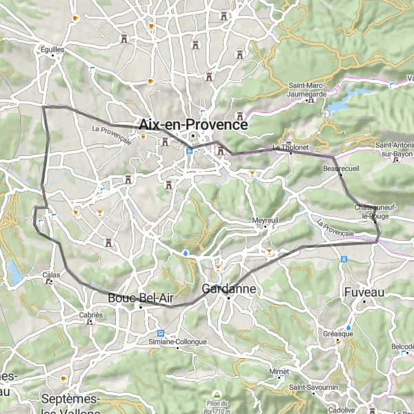
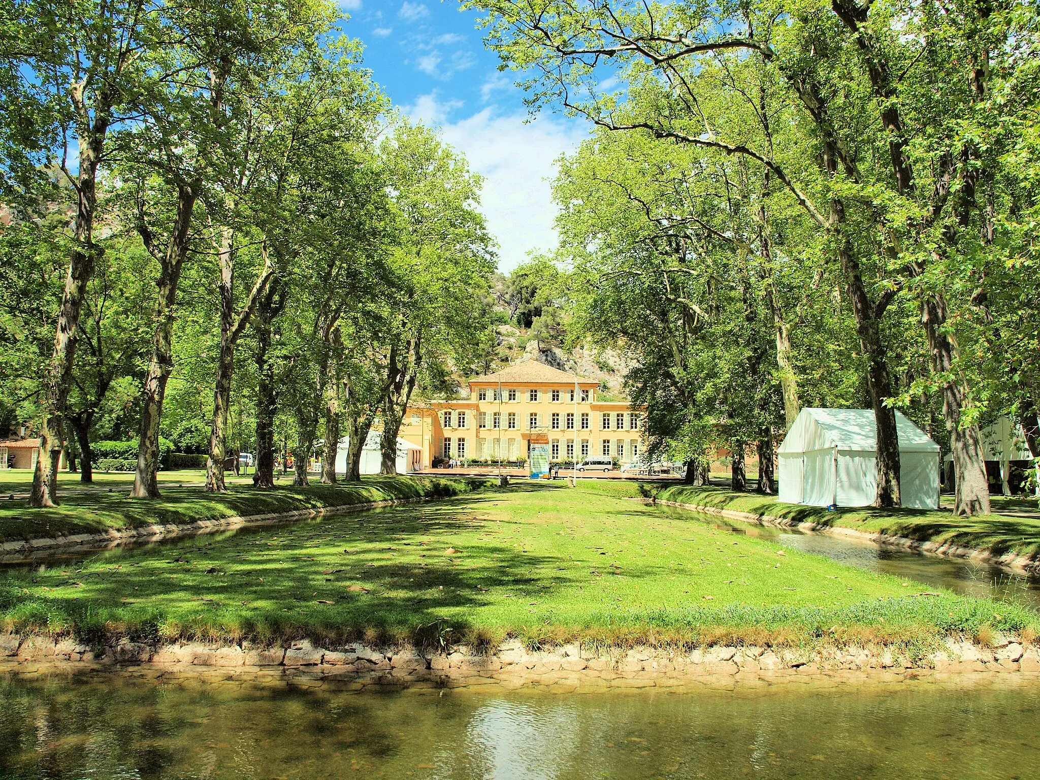
Escape to the beautiful countryside surrounding Aix-en-Provence.
Escape the hustle and bustle of city life with the Countryside Escape to Aix-en-Provence. This road cycling route offers cyclists a chance to explore the stunning landscapes and charming towns that surround Aix-en-Provence. With a distance of 55 kilometers and an ascent of 537 meters, this route is suitable for cyclists of all levels. The route includes several highlights, such as the historic city of Aix-en-Provence and the picturesque village of Le Tholonet. The difficulty level of the route is rated at 2, making it suitable for beginners. With an epicness rating of 3, the Countryside Escape to Aix-en-Provence offers a pleasant and enjoyable cycling experience.
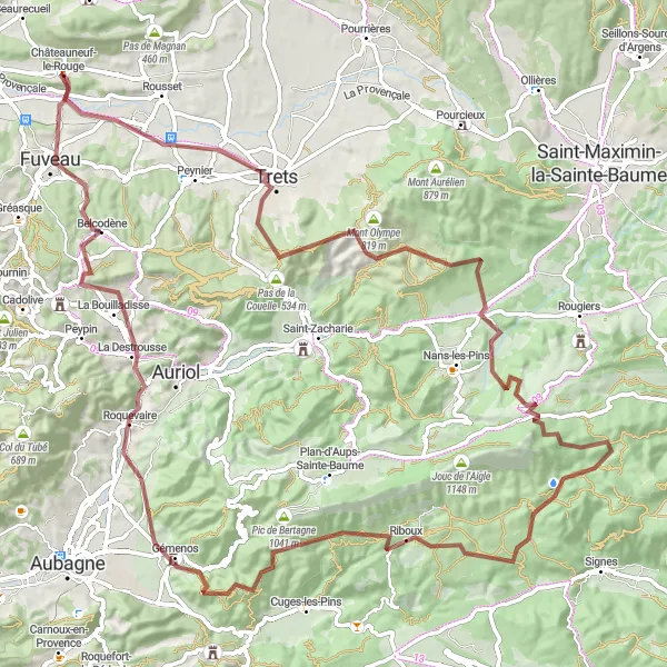
An epic gravel adventure with challenging climbs and captivating landscapes.
Get ready for the ultimate gravel adventure near Châteauneuf-le-Rouge. This 104-kilometer route with a total ascent of 1951 meters offers challenging climbs while showcasing the captivating landscapes of the Provence-Alpes-Côte d'Azur region. With highlights such as Trets, Saint-Jean du Puy, Crespin, Château Roux, Riboux, Mont Cruvelier, Gémenos, La Destrousse, and Châteauneuf-le-Rouge, this route combines historical landmarks, breathtaking natural scenery, and unique cultural experiences. Recommended for experienced cyclists, this route has a difficulty level of 4 out of 5 and an epicness level of 4 out of 5.
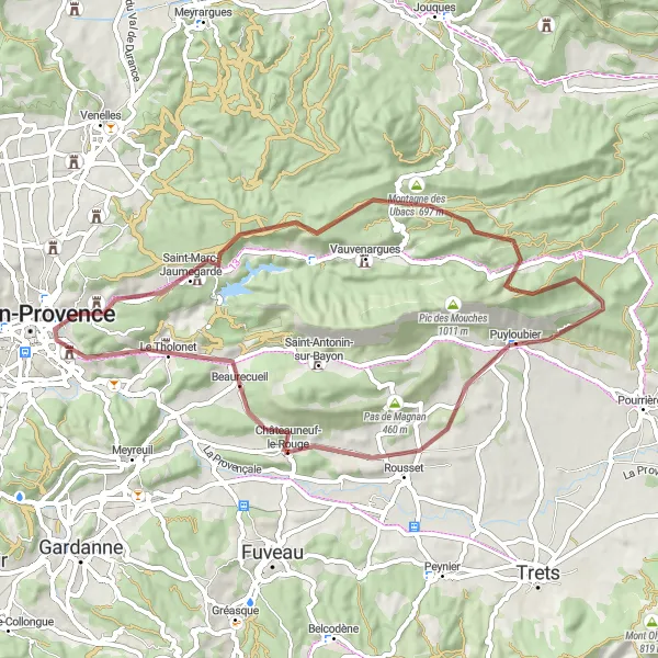
Embark on an exciting gravel adventure to the charming town of Puyloubier.
If you're a gravel biking enthusiast looking for an exciting adventure, the Gravel Adventure to Puyloubier is the perfect route for you. Covering a distance of 56 kilometers and with an ascent of 921 meters, this gravel route offers both challenging terrain and stunning landscapes. The route includes several highlights, such as the picturesque town of Puyloubier and the historic La citadelle. With a difficulty rating of 3, this route is suitable for experienced gravel cyclists looking for a moderate challenge. The epicness rating is 4, making it an epic route for gravel biking enthusiasts.

Enjoy a scenic ride with stunning views on the way to Mimet.
The Scenic Ride to Mimet offers cyclists a chance to enjoy breathtaking views and explore charming towns along the route. With a distance of 66 kilometers and an ascent of 1170 meters, this road cycling route is suitable for experienced cyclists looking for a moderate challenge. The route includes several highlights, such as the picturesque village of Mimet and the historic Col Sainte-Anne. The difficulty level of the route is rated at 3, making it suitable for intermediate cyclists. With an epicness rating of 2, the Scenic Ride to Mimet offers cyclists a chance to immerse themselves in the beauty of Provence-Alpes-Côte d’Azur.
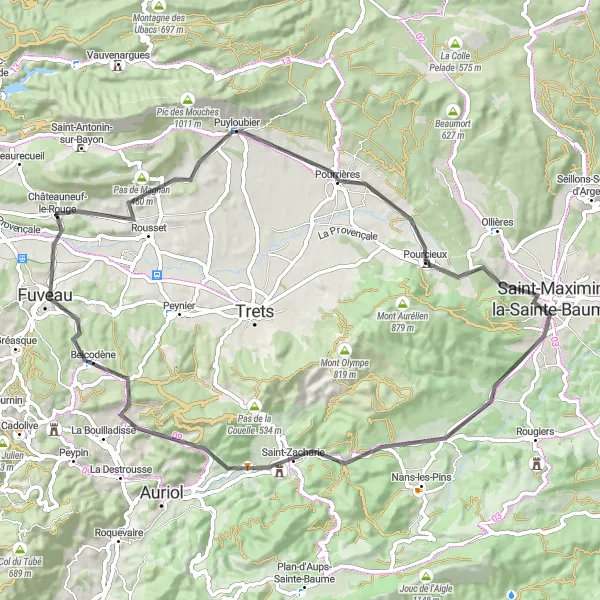
Embark on an adventurous road cycling journey from Châteauneuf-le-Rouge to Saint-Zacharie
This road cycling route covers a distance of 71 km, with an ascent of 863 meters. The route takes you through scenic landscapes and charming villages, making it a perfect choice for cyclists looking for a mix of natural beauty and cultural heritage.

Experience the thrill of road cycling from Châteauneuf-le-Rouge to Mimet.
This road cycling route covers a distance of 80 km and includes an ascent of 1386 meters. The route offers a mix of challenging climbs and sweeping descents, with breathtaking views at every turn. Cyclists will also have the opportunity to explore picturesque villages and discover hidden gems along the way.

Embark on a thrilling gravel adventure in the Puyloubier hills.
The Gravel Adventure to Puyloubier Hills is an exhilarating route that takes cyclists through the scenic Puyloubier hills. With a distance of 65 kilometers and an ascent of 632 meters, this gravel route offers a thrilling and challenging riding experience. The route features several highlights, including the stunning Pas de Magnan and the charming town of Puyloubier. The difficulty level is rated at 3, making it suitable for experienced gravel cyclists. With an epicness rating of 3, the Gravel Adventure to Puyloubier Hills offers plenty of excitement and scenic beauty along the way.
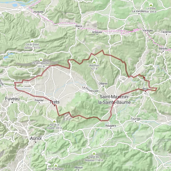
Explore the scenic route from Châteauneuf-le-Rouge to Saint-Jean du Puy
This route is a challenging gravel ride that covers a distance of 100 km and includes an ascent of 1681 meters. The route takes you through beautiful landscapes and picturesque villages, with plenty of opportunities to stop and enjoy the highlights along the way.

Ride through the picturesque countryside of Provence and enjoy beautiful gravel paths.
Get ready for a scenic cycling adventure through the charming landscapes of Provence. This 81-kilometer route starts near Châteauneuf-le-Rouge and takes you through the stunning towns and villages of Beaurecueil, Aix-en-Provence, Collet Redon, Peyrolles-en-Provence, and Puyloubier. Along the way, you'll witness breathtaking views of the countryside, vineyards, and historic landmarks. The route is suitable for both road and gravel bikes, allowing you to experience the region's diverse terrain.
Aix-en-Provence Grand Tour
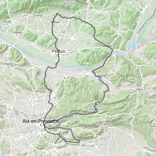
Explore the beautiful countryside around Aix-en-Provence.
The Aix-en-Provence Grand Tour takes you on a challenging journey through the stunning countryside of Provence-Alpes-Côte d’Azur. With a distance of 124 kilometers and an ascent of 1789 meters, this road cycling route is perfect for experienced cyclists looking for a challenge. The route features several highlights, including the charming town of Aix-en-Provence and the picturesque Château de Mirabeau. The difficulty level of the route is rated at 4, making it suitable for very well-trained amateurs. With its epicness rating of 3, the Aix-en-Provence Grand Tour offers plenty of scenic beauty and cultural sights to enjoy.
Cycling routes nearby:

Nearby regions: