Cycling through the Picturesque Provence
Cycling routes from Peynier
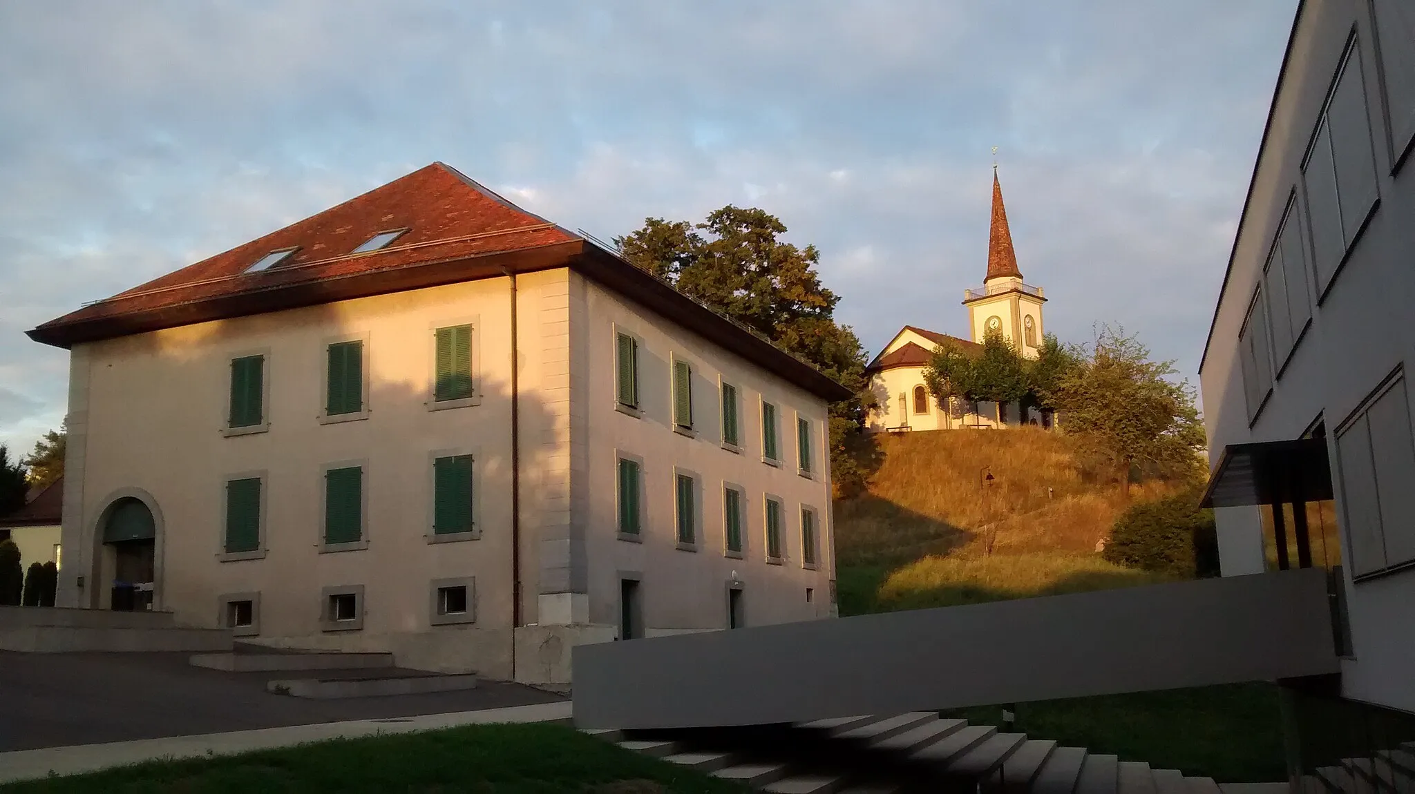
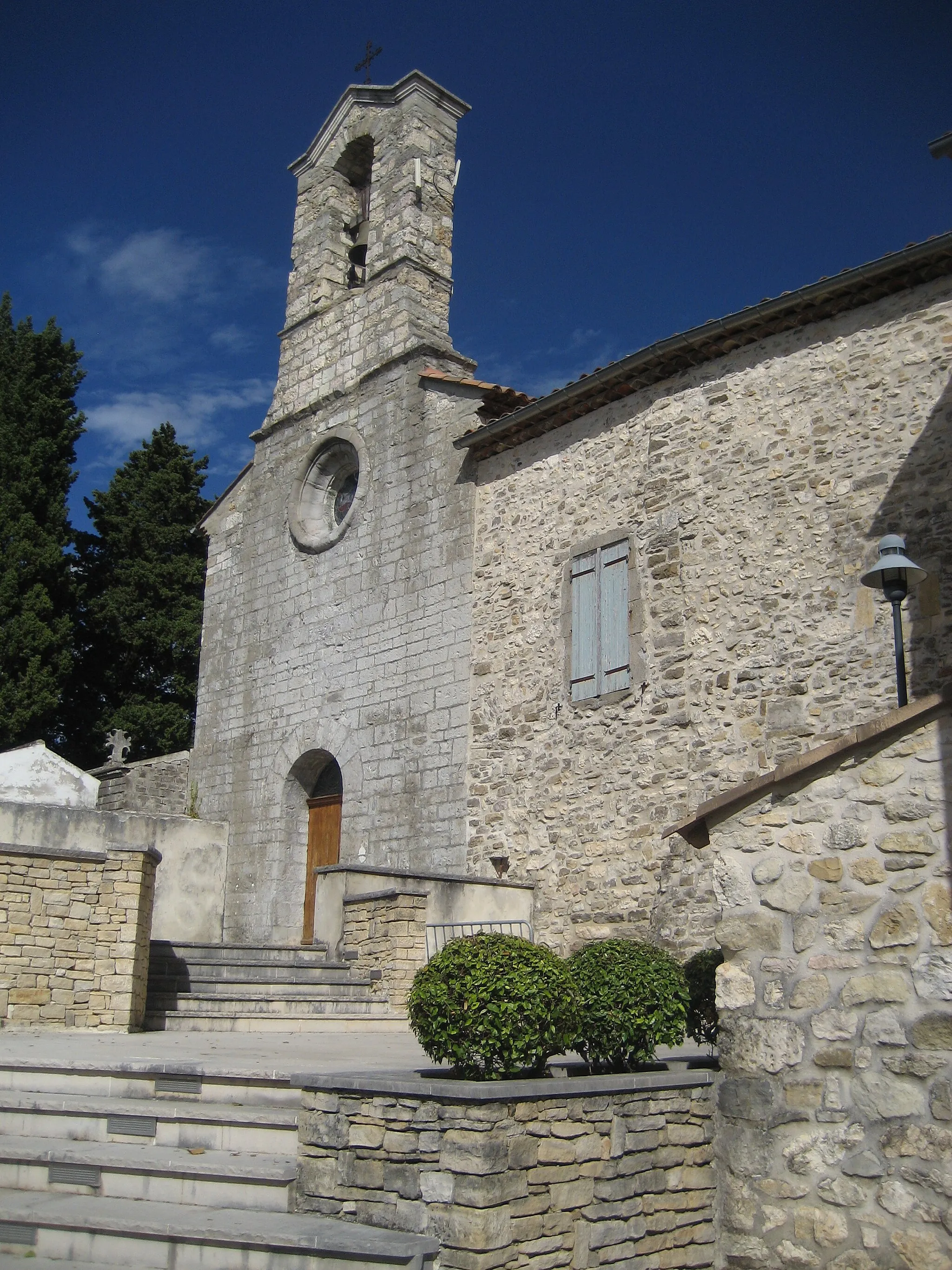
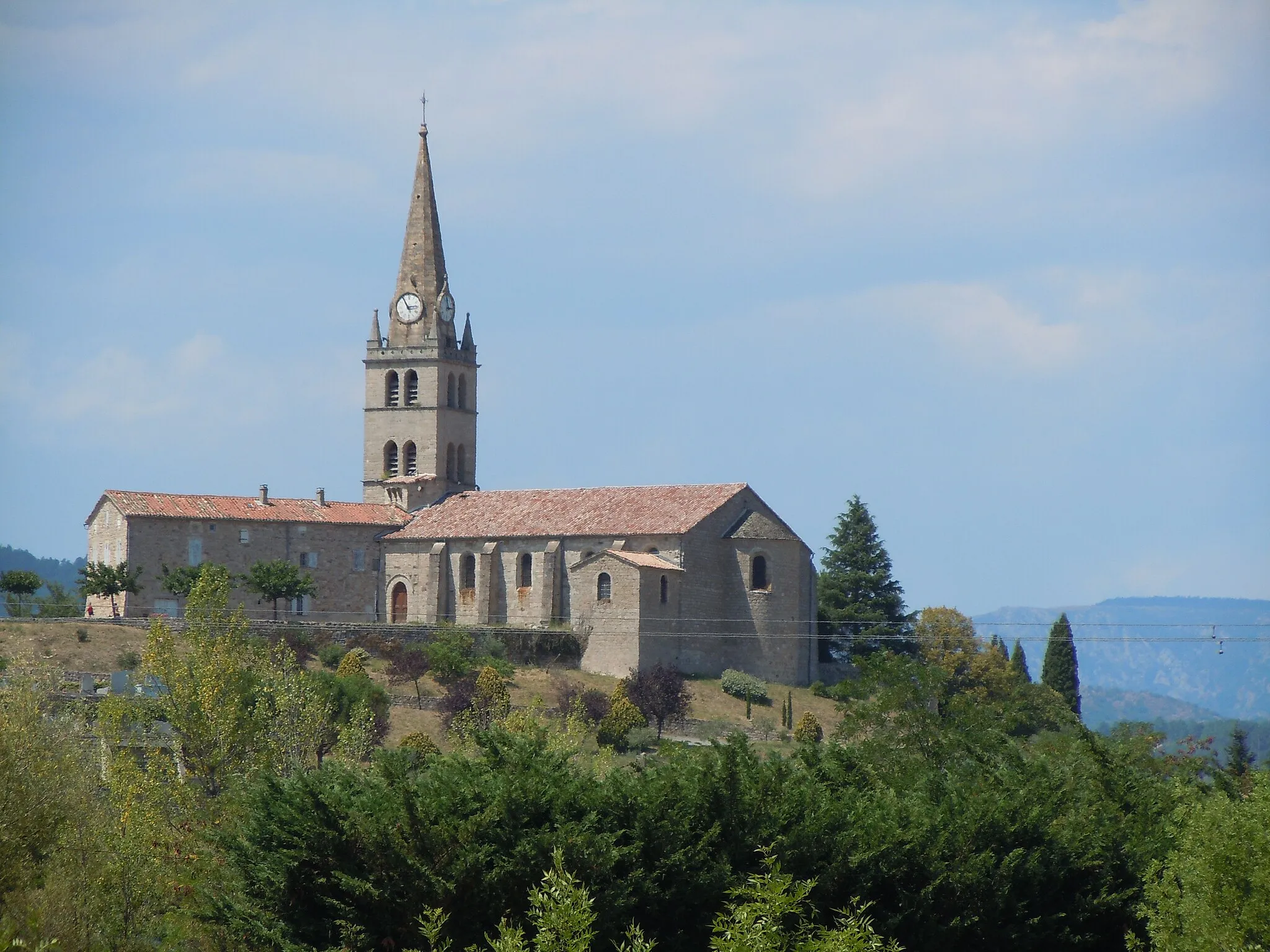
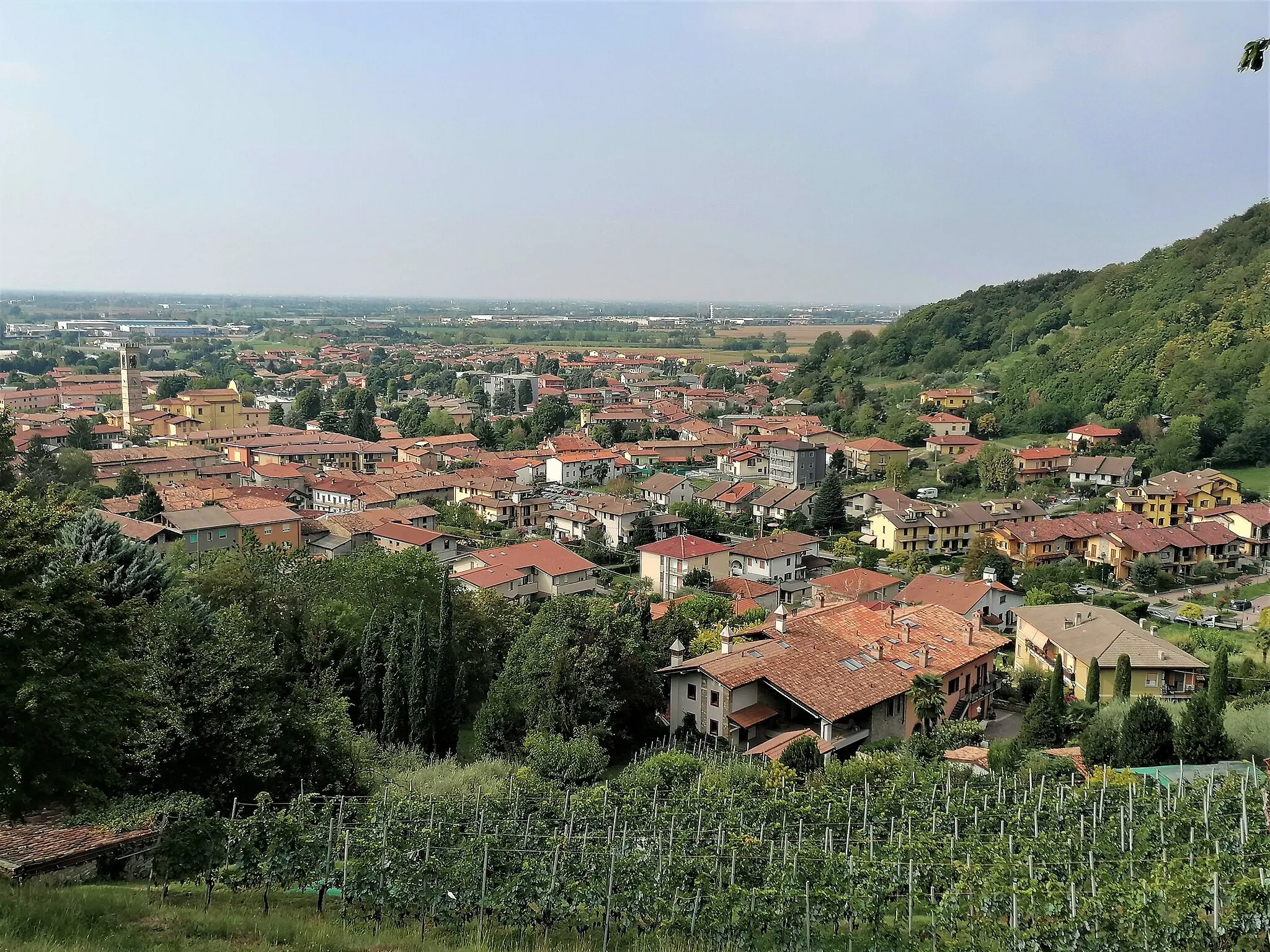
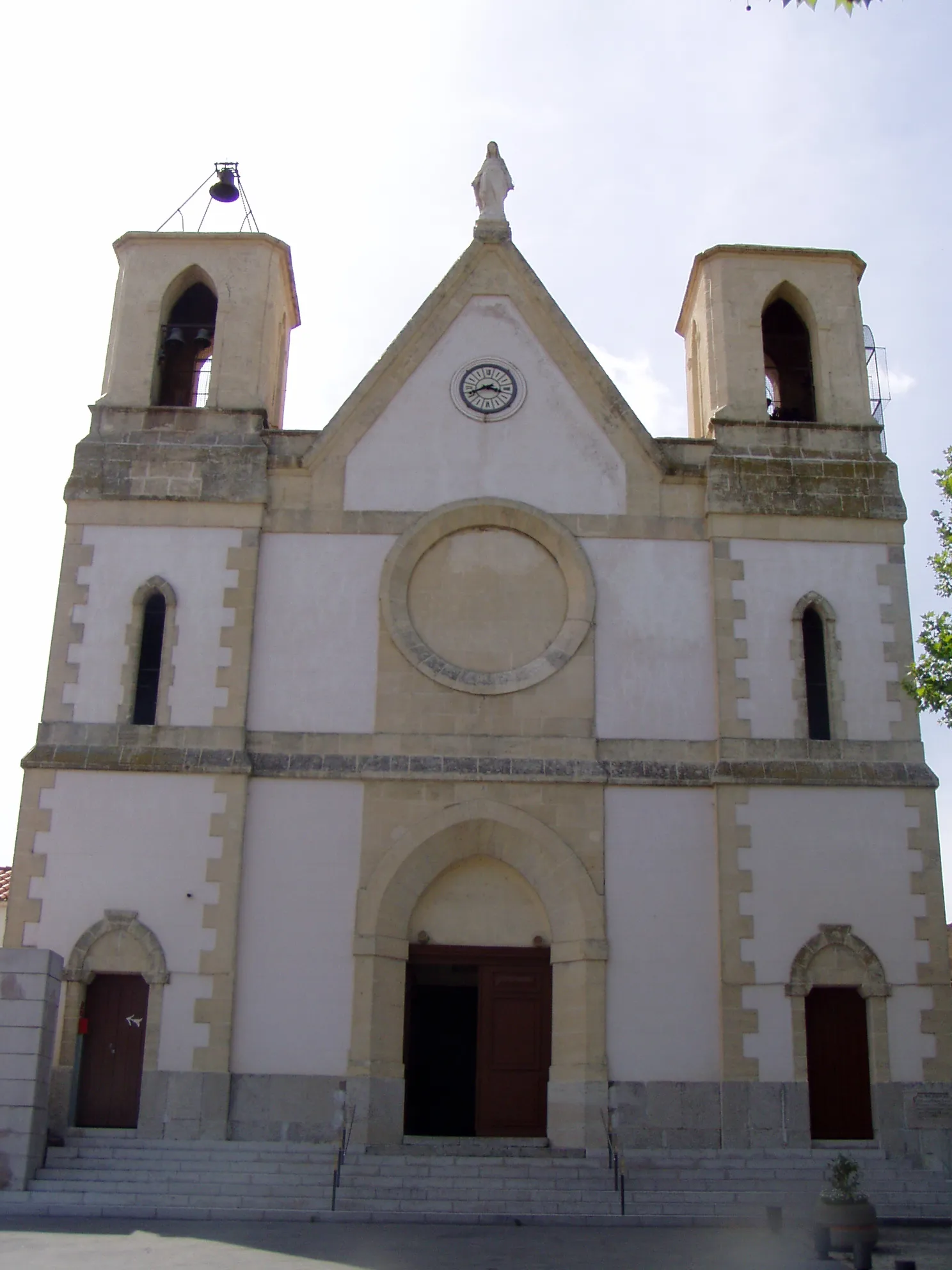
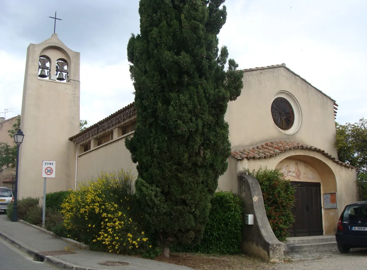
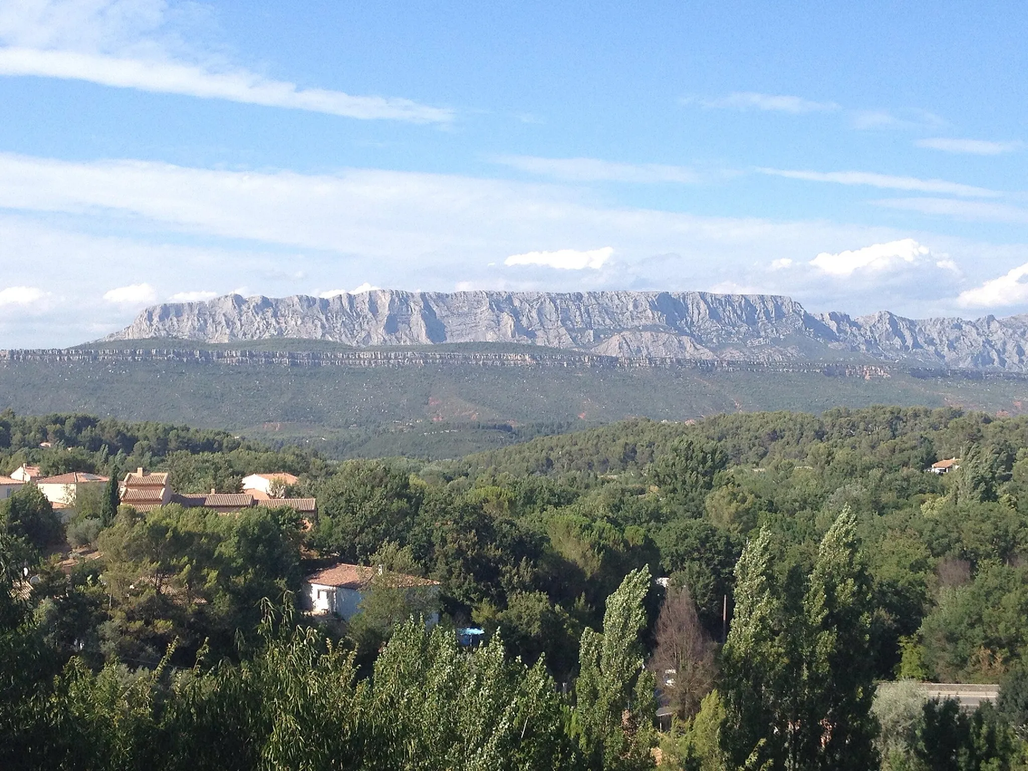
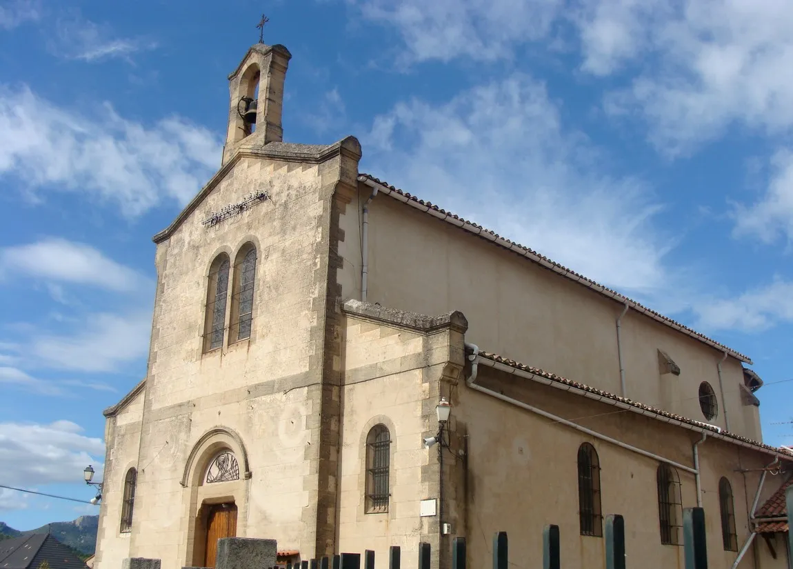
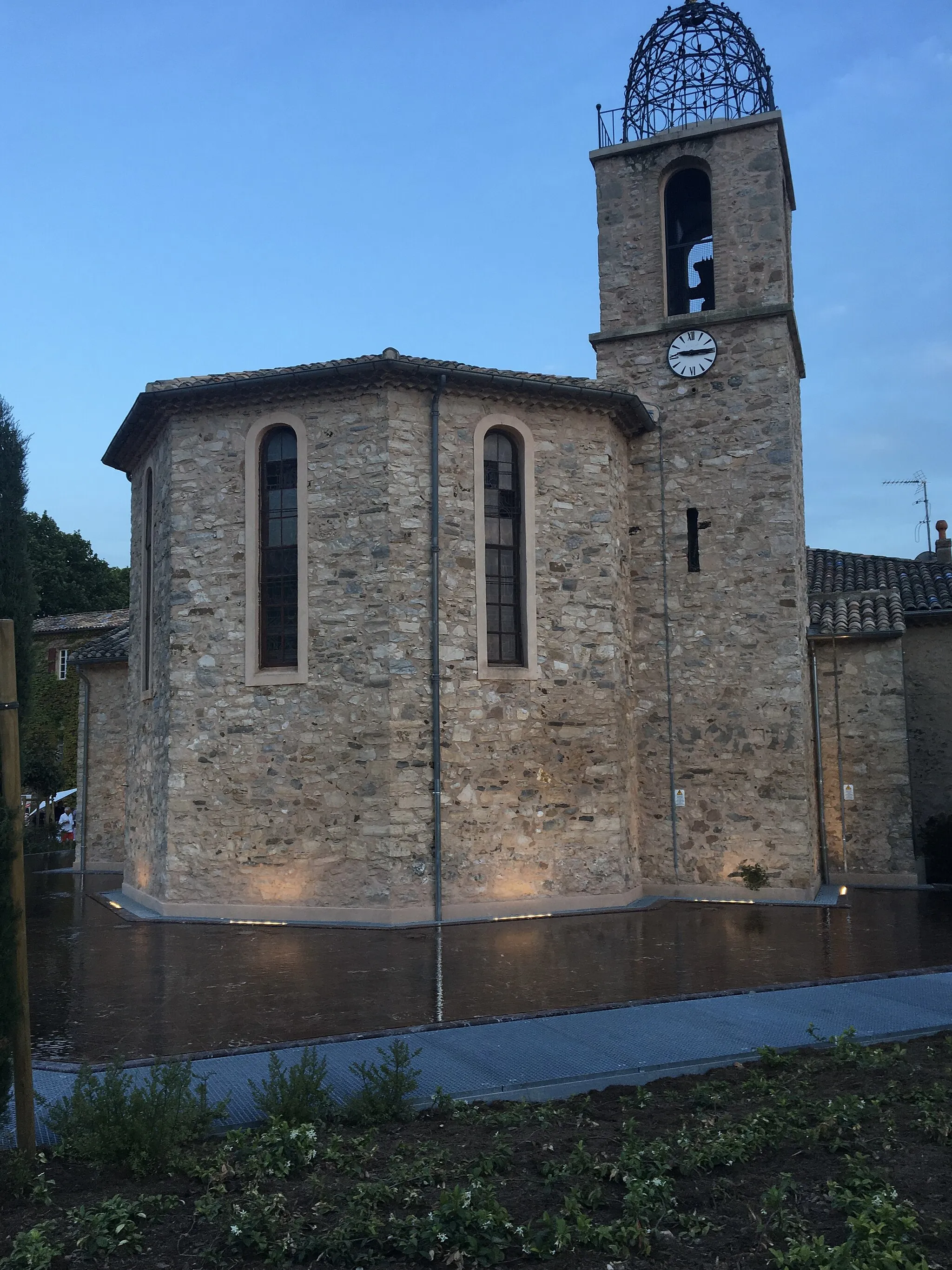
Peynier is a tranquil locality located in the Provence-Alpes-Côte d’Azur region of France. As a road and gravel cyclist, Peynier offers scenic landscapes, peaceful countryside roads, and challenging climbs. Cyclists can explore the picturesque Provence region while enjoying routes surrounded by lavender fields, vineyards, and olive groves. One of the famous cycling spots nearby is Montagne Sainte-Victoire, a notable climb that tests cyclists' endurance and skills. With its natural beauty and cycling-friendly atmosphere, Peynier is a popular destination for both local and international cyclists.
A challenging road cycling route with stunning views
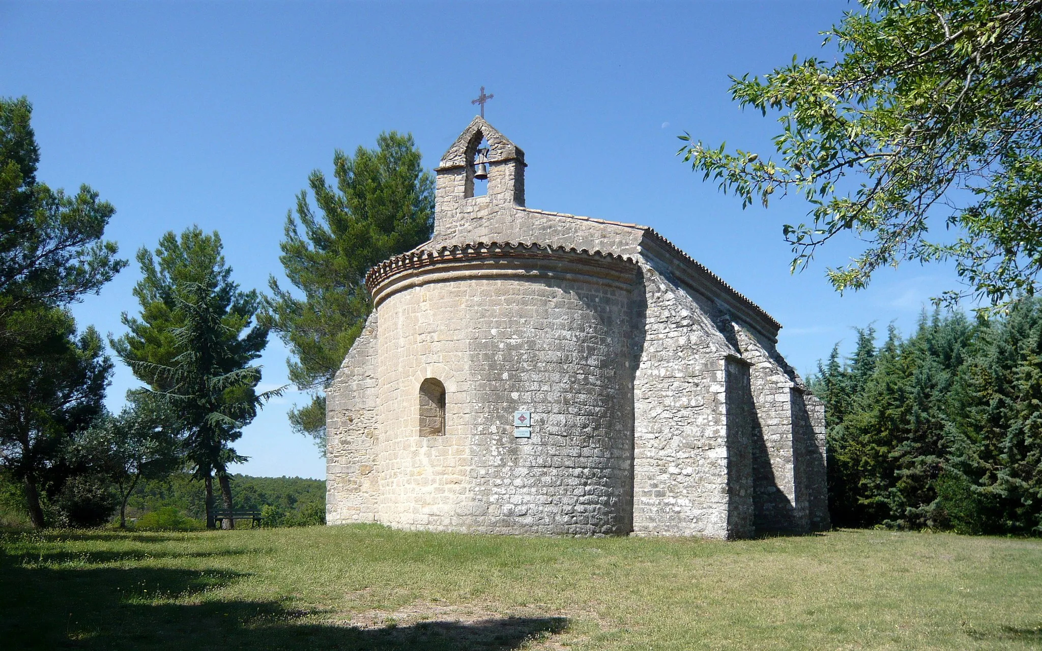
The Colle de Garrade Loop is a challenging road cycling route starting near Peynier, in Provence-Alpes-Côte d'Azur, France. With a total distance of 76 kilometers and an ascent of 893 meters, this route offers stunning views of the surrounding countryside. The ride takes you through picturesque villages like Trets, Pourcieux, Rougiers, Piégu, and Saint-Zacharie.
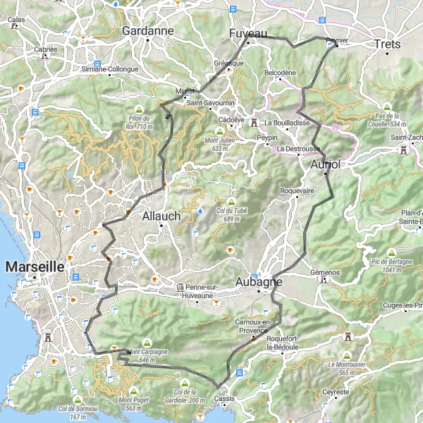
Belcodène to Peynier Loop

Climb up to the village of Belcodène before descending to Peynier
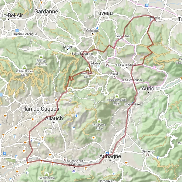
This 82 km road cycling route starts near Peynier and takes you through scenic landscapes, with a total ascent of 1189 meters. After a challenging climb up to the charming village of Belcodène, you'll be rewarded with breathtaking views before descending towards Peynier. The route also features highlights such as Le Géant, Bouc-Bel-Air, Aix-en-Provence, and Pas de Magnan. Overall, this route offers a mix of challenging climbs, beautiful scenery, and historic towns.
The Gravel Adventure
Embark on an exciting off-road cycling adventure near Peynier
For those seeking an off-road adventure near Peynier, this gravel cycling route is perfect. With a total ascent of 1117 meters and a distance of 73 kilometers, it offers a challenging and thrilling experience. Starting in Peynier, you'll ride through scenic towns and villages such as La Destrousse and Belcodène. The highlights along the way include the rugged terrain of Roc de la Croix and the picturesque village of Saint-Savournin. Overall, this gravel route offers a unique and memorable cycling experience for adventure enthusiasts.

Explore the scenic beauty of Provence on this road cycling route near Peynier
Discover the stunning scenery of Provence on this road cycling route near Peynier. With a total ascent of 908 meters and a distance of 65 kilometers, this route offers a mix of challenging climbs and picturesque landscapes. Starting in Peynier, you'll pass through Aubagne and Gréasque, experiencing the beauty of the region firsthand. The highlights along the way include the traditional village of Aubagne and the scenic town of Gréasque. Overall, this road route offers a perfect balance of natural beauty and enjoyable riding for cyclists of all levels.

An adventurous road cycling route with scenic landscapes and cultural highlights
Explore the stunning landscapes and cultural highlights of Provence-Alpes-Côte d’Azur with this thrilling round-trip cycling route starting from Peynier. Begin your journey in the village of Pourcieux, surrounded by vineyards and rugged cliffs. Admire the rural charm as you pedal through the quaint village of Rougiers and pass by its beautiful medieval castle. Continue your adventure through the picturesque countryside, making a stop at Piégu, known for its hiking and cycling trails. Discover Saint-Zacharie, a hidden gem with its historic center and stunning views over the surrounding valleys. Challenge yourself with the ascent to Pas de la Couelle, rewarded with panoramic vistas. Finally, return to Peynier, reminiscing about the diverse landscapes and cultural heritage you encountered along the way.
Trets Gravel Loop

An adventurous gravel loop from Trets to Peynier
This 47 km gravel cycling route starts in the town of Trets and takes you through a mix of challenging gravel paths and scenic countryside. With a total ascent of 806 meters, this route offers an exciting adventure for gravel enthusiasts. Highlights along the route include Trets, a picturesque town known for its historic buildings, Saint-Maximin-la-Sainte-Baume, famous for its monumental basilica, and Saint-Jean du Puy, a tranquil hamlet surrounded by nature. The route ends in Peynier, where you can relax and soak in the vibrant Provençal atmosphere.
Challenging road cycling route from Auriol to Peynier
This 93 km road cycling route starts in the town of Auriol and takes you through a challenging terrain with a total ascent of 1689 meters. Highlights along the route include Col de Saucette, known for its steep gradient and rewarding views, Carnoux-en-Provence, a scenic village surrounded by nature, and Plan-de-Cuques, famous for its historic sites. The route ends in Peynier, a picturesque town where you can relax and soak in the vibrant Provençal atmosphere. With its demanding climbs and breathtaking scenery, this route is perfect for experienced cyclists looking for a challenge.

A challenging road cycling route with picturesque villages, breathtaking views, and historic landmarks
This round-trip cycling route takes you through the stunning countryside of Provence-Alpes-Côte d’Azur. Starting in Peynier, the route passes through the charming villages of Pourrières, Rians, and Jouques, offering a glimpse into the region's rich cultural heritage. As you continue, you'll cross the iconic Durance River via the ancient Pont de Mirabeau and climb up to the panoramic viewpoint of Le Picarlet. Marvel at the picturesque landscapes as you pedal through Sainte-Tulle and make a stop in Valensole, famous for its lavender fields. The route also takes you to the historic village of Saint-Julien-le-Montagnier, known for its medieval architecture. Before heading back to Peynier, explore the scenic villages of Saint-Martin-de-Pallièries and Ollières.
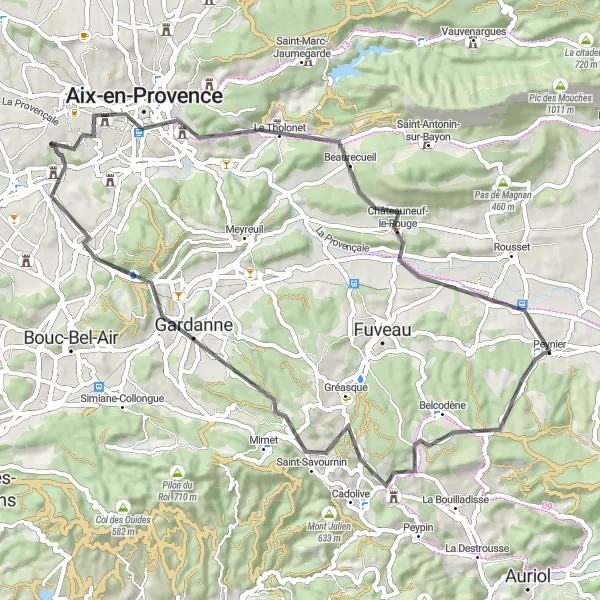
A scenic road cycling route through picturesque towns and impressive viewpoints
Embark on this scenic round-trip cycling route from Peynier, exploring the enchanting landscapes and charming towns of Provence-Alpes-Côte d’Azur. The route begins in Peynier and takes you to the quaint village of Belcodène, known for its medieval architecture and narrow alleys. Enjoy breathtaking views at the panoramic Point de Vue de Pergine as you continue towards the vibrant town of Gardanne, famous for its picturesque square and historical buildings. Pedal through the cultural hub of Aix-en-Provence, with its impressive architecture and vibrant atmosphere. Don't miss the charming village of Châteauneuf-le-Rouge, known for its traditional Provençal houses and stunning views of Montagne Sainte-Victoire. Finally, return to Peynier, taking in the picturesque landscapes of the region.
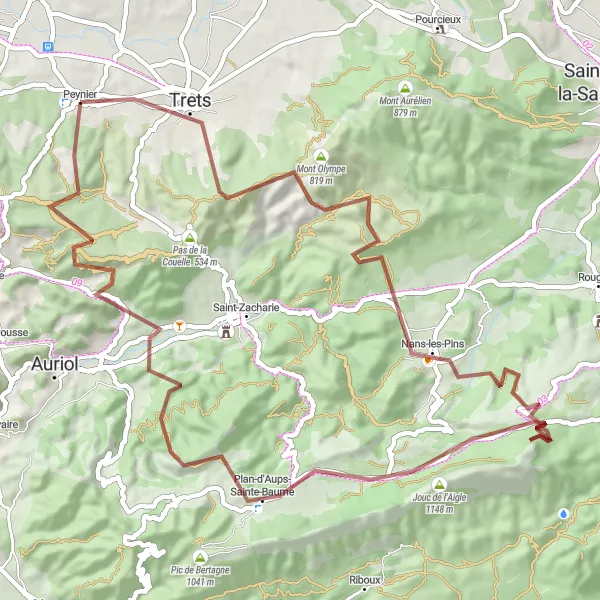
An epic gravel adventure through stunning landscapes near Peynier
This 69 km gravel cycling route is perfect for adventurous cyclists looking to explore the stunning landscapes near Peynier. With a total ascent of 1524 meters, this route offers a challenging and rewarding experience. Highlights along the route include Saint-Jean du Puy, a tiny peaceful hamlet surrounded by nature; Montmorin, known for its ancient castle ruins; and Jouc de l'Aigle, where you can experience breathtaking views from the summit. With its mix of gravel paths and scenic vistas, this route is an epic adventure for gravel enthusiasts.
Cycling routes nearby:


Nearby regions: