Auriol to Peynier Challenge
A road cycling route starting from Peynier
Challenging road cycling route from Auriol to Peynier
Map
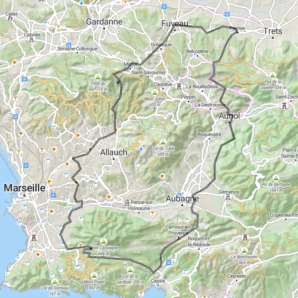
This 93 km road cycling route starts in the town of Auriol and takes you through a challenging terrain with a total ascent of 1689 meters. Highlights along the route include Col de Saucette, known for its steep gradient and rewarding views, Carnoux-en-Provence, a scenic village surrounded by nature, and Plan-de-Cuques, famous for its historic sites. The route ends in Peynier, a picturesque town where you can relax and soak in the vibrant Provençal atmosphere. With its demanding climbs and breathtaking scenery, this route is perfect for experienced cyclists looking for a challenge.
road
93 km
1689 m
Savage
Route profile
Highlights on the route
0 km
0 km
Start: Peynier Village centerPeynier: Cycling through the Picturesque Provence
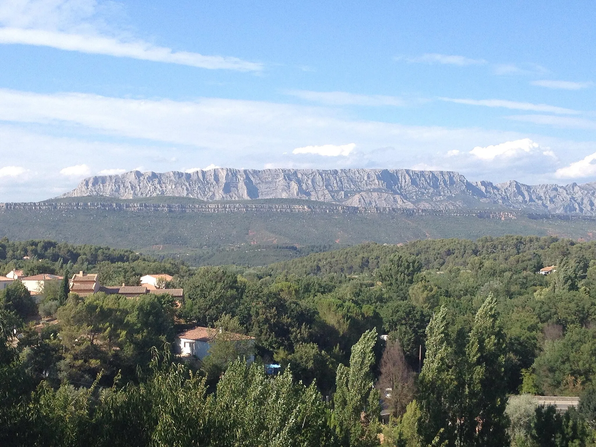
Peynier is a tranquil locality located in the Provence-Alpes-Côte d’Azur region of France. As a road and gravel cyclist, Peynier offers scenic landscapes, peaceful countryside roads, and challenging climbs. Cyclists can explore the picturesque Provence region while enjoying routes surrounded by lavender fields, vineyards, and olive groves. One of the famous cycling spots nearby is Montagne Sainte-Victoire, a notable climb that tests cyclists' endurance and skills. With its natural beauty and cycling-friendly atmosphere, Peynier is a popular destination for both local and international cyclists.12 km
12 km
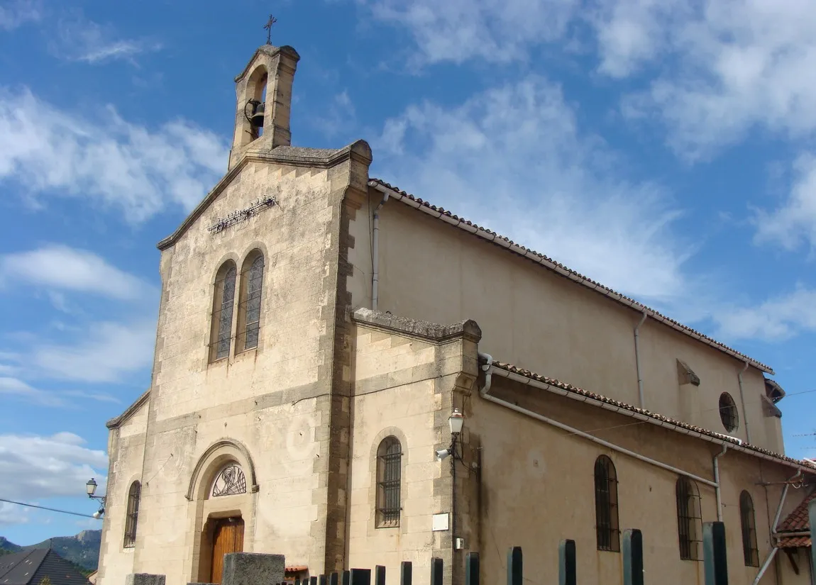
AuriolTownTake on the challenging climb to Auriol and enjoy stunning views along the way.
16 km
16 km
col de Saucette389 mMountain PassConquer the steep gradients of col de Saucette and be rewarded with panoramic views.
30 km
30 km
Carnoux-en-ProvenceVillagePass through Carnoux-en-Provence, a charming village nestled in nature.
38 km
38 km
Col de la Gardiole200 mMountain PassChallenge yourself with the climb to Col de la Gardiole and admire the picturesque scenery.
52 km
52 km
10th ArrondissementSub-urbExplore Marseille's 10th Arrondissement and discover its vibrant streets and culture.
65 km
65 km
Plan-de-CuquesTownEnjoy the scenic descent towards Plan-de-Cuques, a town rich in history and charm.
76 km
76 km
Col Sainte-Anne589 mMountain PassClimb the famous Col Sainte-Anne and soak in the breathtaking views from the top.
85 km
85 km
FuveauTownExperience the challenge and beauty of cycling through Fuveau's idyllic countryside.
93 km
93 km
PeynierVillageEnd your ride in the picturesque town of Peynier and unwind in its authentic Provençal ambiance.
93 km
93 km
Finish: Peynier Village centerPeynier: Cycling through the Picturesque Provence
Cycling routes from Peynier:
The Scenic Road Loop Belcodène to Peynier Loop Trets Gravel Loop The Epic Gravel Ride The Gravel Adventure Colle de Garrade Loop Peynier Gravel Adventure The Scenic Gravel Tour The Cadolive Challenge Auriol to Peynier Challenge Peynier - Pourieres - Rians - Le Devenson - Jouques - Durance - ancien Pont de Mirabeau - Le Picarlet - Sainte-Tulle - Valensole - Saint-Julien-le-Montagnier - Saint-Martin-de-Pallières - Colles Gacharelles - Ollières - Peynier Peynier - Belcodène - Point de Vue de Pergine - Gardanne - Aix-en-Provence - Châteauneuf-le-Rouge - Peynier Peynier - Pourcieux - Rougiers - Piégu - Saint-Zacharie - Pas de la Couelle - Peynier
Cycling routes nearby: