Gravel Route: Colline des Frères Loop
A gravel cycling route starting from La Fare-les-Oliviers
A scenic gravel route with a challenging ascent
Map
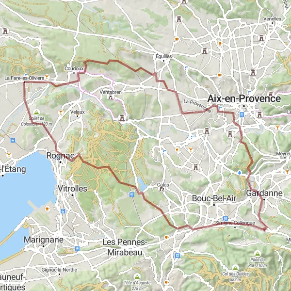
Explore the beautiful countryside around La Fare-les-Oliviers on this challenging gravel route. The highlight of this ride is the climb up to Colline des Frères, which offers stunning views of the surrounding landscape. Along the way, you'll also pass through the picturesque villages of Simiane-Collongue and Rognac.
gravel
77 km
1043 m
Tough
Route profile
Highlights on the route
0 km
0 km
Start: La Fare-les-Oliviers Village centerLa Fare-les-Oliviers: Scenic rides and legendary climbs in Provence-Alpes-Côte d’Azur.
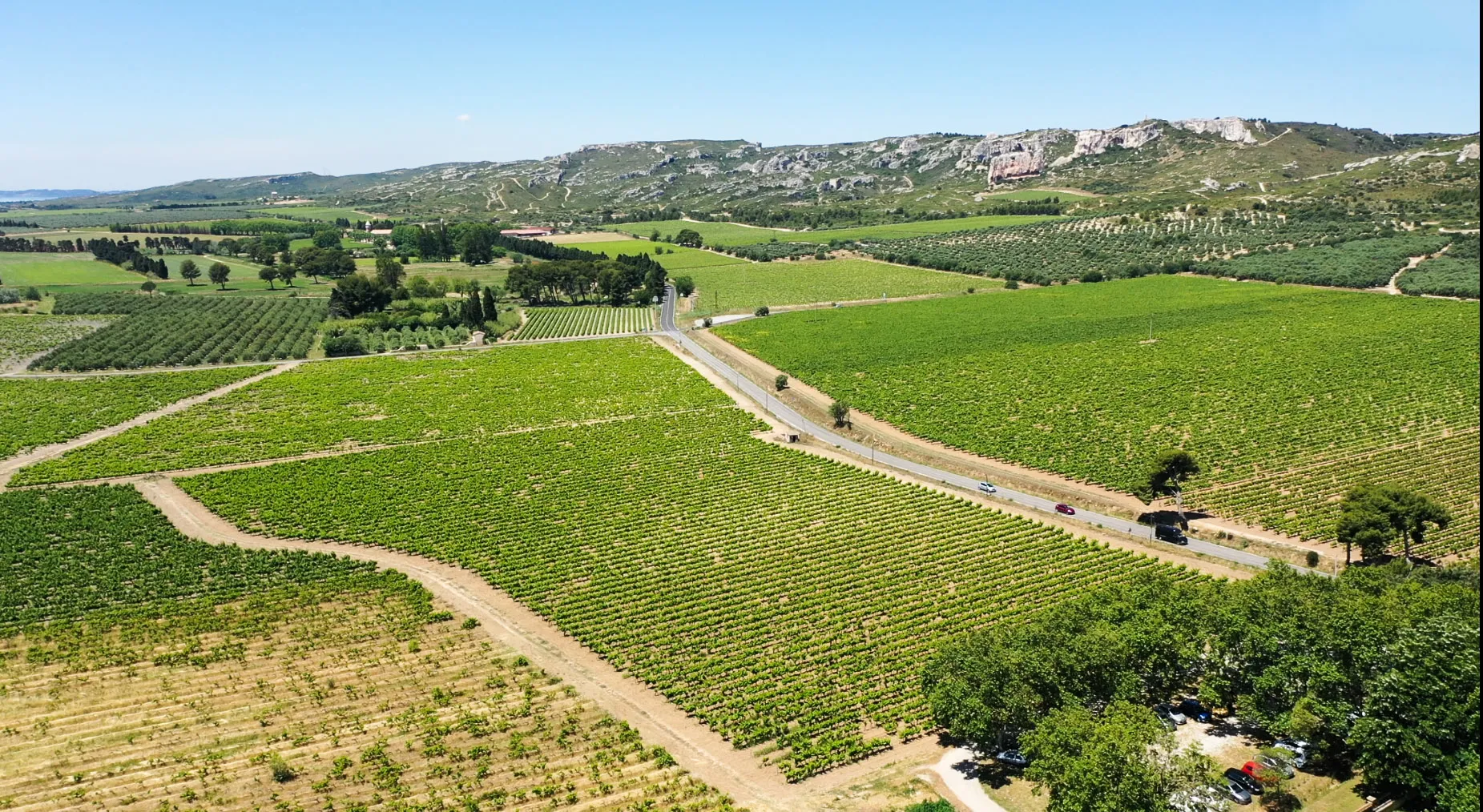
La Fare-les-Oliviers, located in Provence-Alpes-Côte d’Azur, France, offers beautiful cycling routes for both road and gravel cyclists. The charming countryside roads and off-road trails provide a scenic and challenging experience. One of the must-visit spots for cyclists in this locality is the legendary climb to the Mont Ventoux, which is considered one of the toughest climbs in the world. Cyclists can also explore other famous routes nearby, such as the Gorges du Verdon or the Col de la Bonette. With its picturesque landscapes and cycling-friendly infrastructure, La Fare-les-Oliviers is a great destination for cycling enthusiasts and tourists alike.0 km
0 km
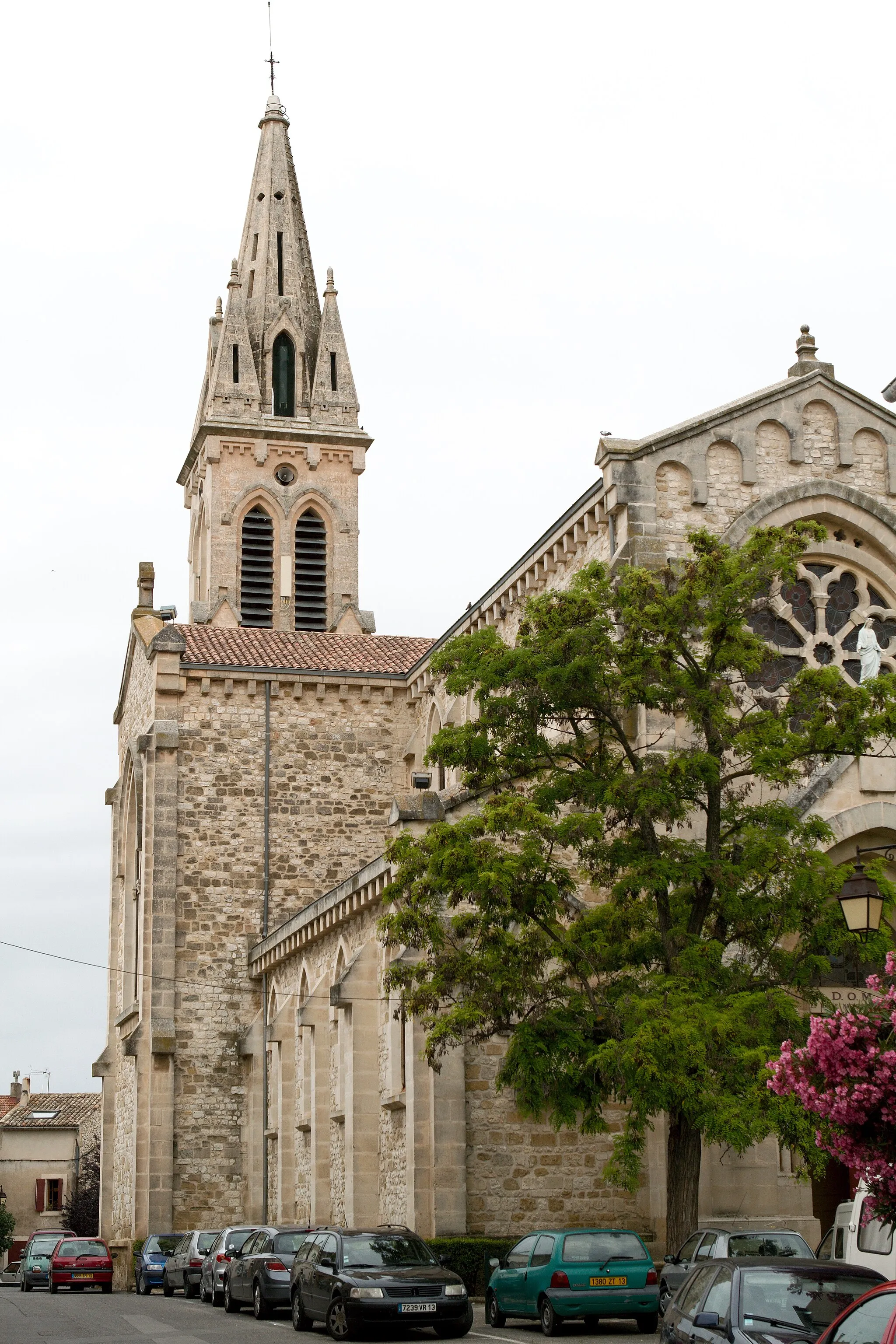
La Fare-les-OliviersVillageStop by the charming town of La Fare-les-Oliviers, known for its olive orchards and traditional Provençal architecture.
39 km
39 km
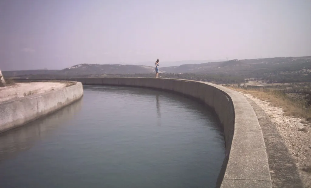
Colline des Frères275 mPeakTake a break at Colline des Frères, where you can enjoy panoramic views of the countryside and the Mediterranean Sea in the distance.
45 km
45 km
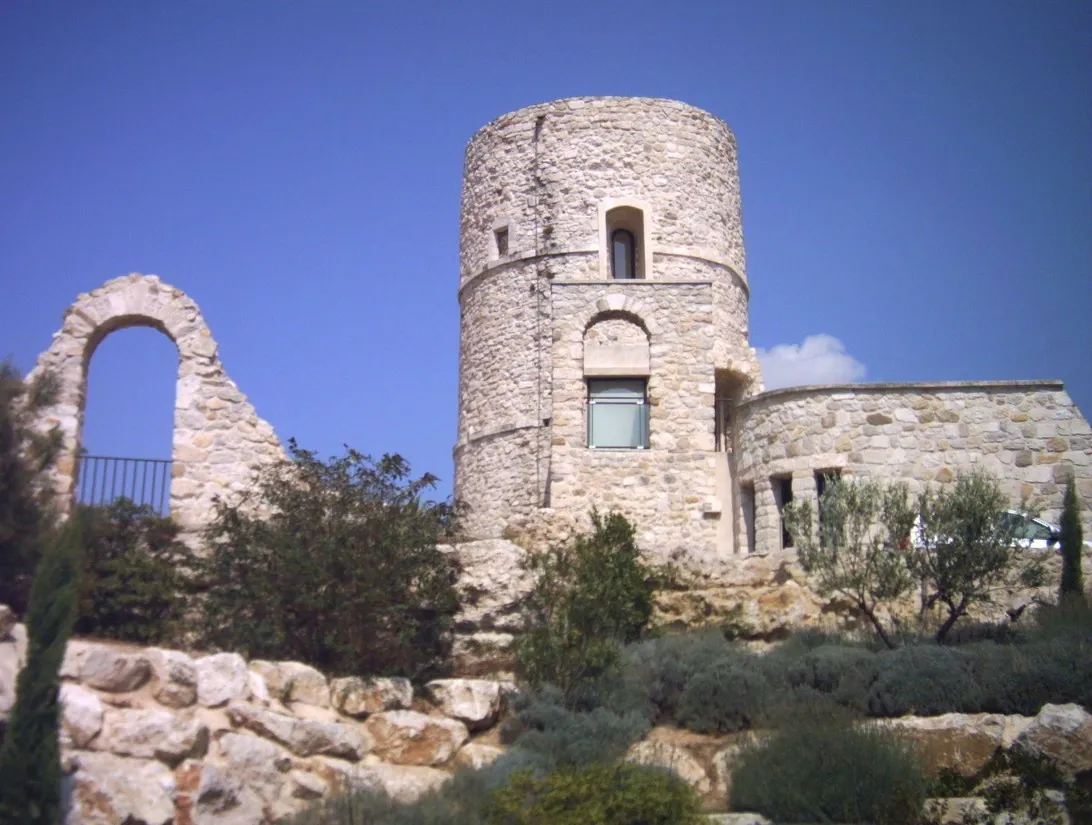
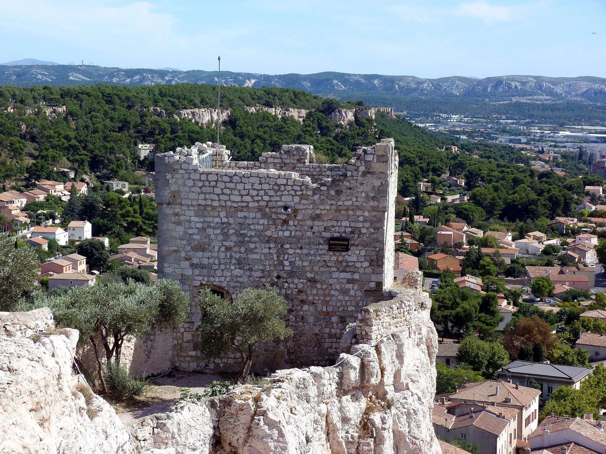
Simiane-CollongueVillagePass through the village of Simiane-Collongue and admire its medieval castle and picturesque streets.
68 km
68 km
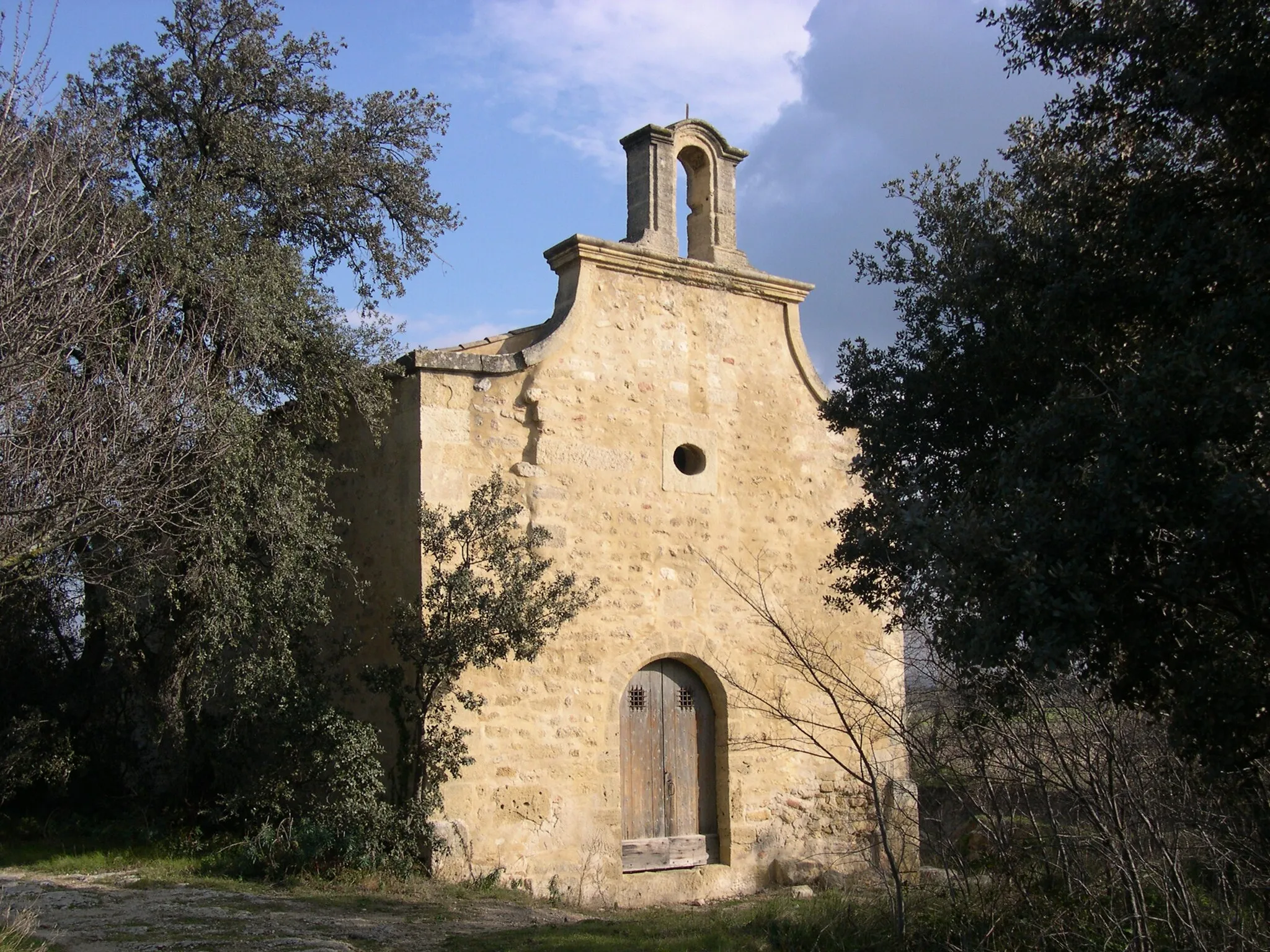
RognacTownAs you ride through Rognac, keep an eye out for the traditional Provençal houses and charming squares.
77 km
77 km
Finish: La Fare-les-Oliviers Village centerLa Fare-les-Oliviers: Scenic rides and legendary climbs in Provence-Alpes-Côte d’Azur.
Cycling routes from La Fare-les-Oliviers:
Gravel Through the Olive Groves Gravel Route: Colline des Frères Loop Road Route: Aix-en-Provence Loop Challenging Ride Through Provence's Countryside Gravel Route: La Barben Loop Coastal Ride to Martigues Road Cycling Around Aix-en-Provence Gravel Adventure Around Aix-en-Provence Gravel Route: Salon de Provence Loop Road Route: Aix-en-Provence Countryside Loop
Cycling routes nearby: