La Garde to Cuers Road Cycling Route
A road cycling route starting from La Garde
A scenic road cycling route from La Garde to Cuers
Map
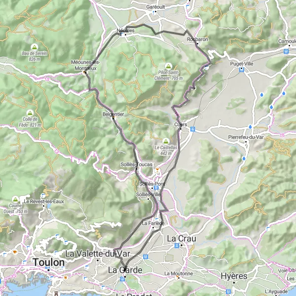
This road cycling route takes you from La Garde to Cuers, offering a mix of challenging climbs and scenic countryside. With a total distance of 66 kilometers and an ascent of 672 meters, it is suitable for well-trained amateurs. The route passes through Table d'orientation, Solliès-Toucas, Pey Long, Néoules, Rocbaron, Cuers, and ends in La Garde. Highlights include Table d'orientation, a viewpoint offering panoramic views, and the charming town of La Garde.
road
66 km
672 m
Tough
Route profile
Highlights on the route
0 km
0 km
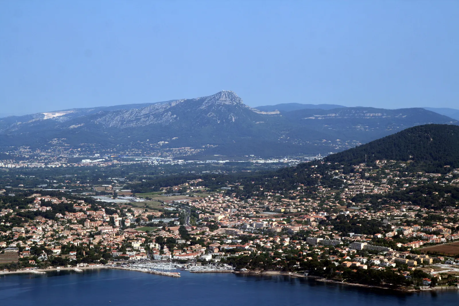
Start: La Garde City centerLa Garde: Thrilling climbs and coastal beauty in the heart of Provence-Alpes-Côte d’Azur.
La Garde, situated in the Provence-Alpes-Côte d’Azur region of France, offers a vibrant cycling scene for road and gravel cyclists. The locality boasts a mix of challenging climbs and picturesque coastal routes along the Mediterranean Sea. Cyclists can enjoy the adrenaline of tackling mountainous ascents or opt for scenic rides that showcase the stunning natural beauty of the region. A well-known spot in the area is Mont Faron, a legendary climb with steep gradients and breathtaking views from the top. With a great variety of cycling routes and stunning vistas, La Garde is a fantastic destination for cyclists of all levels.10 km
10 km
Table d'orientationViewpointTable d'orientation offers panoramic views of the surrounding countryside.
12 km
12 km
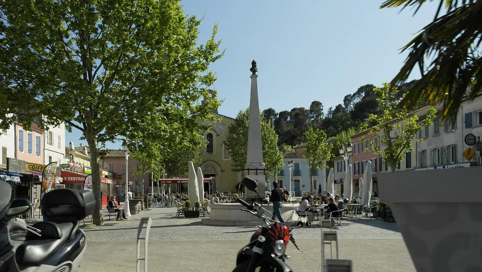
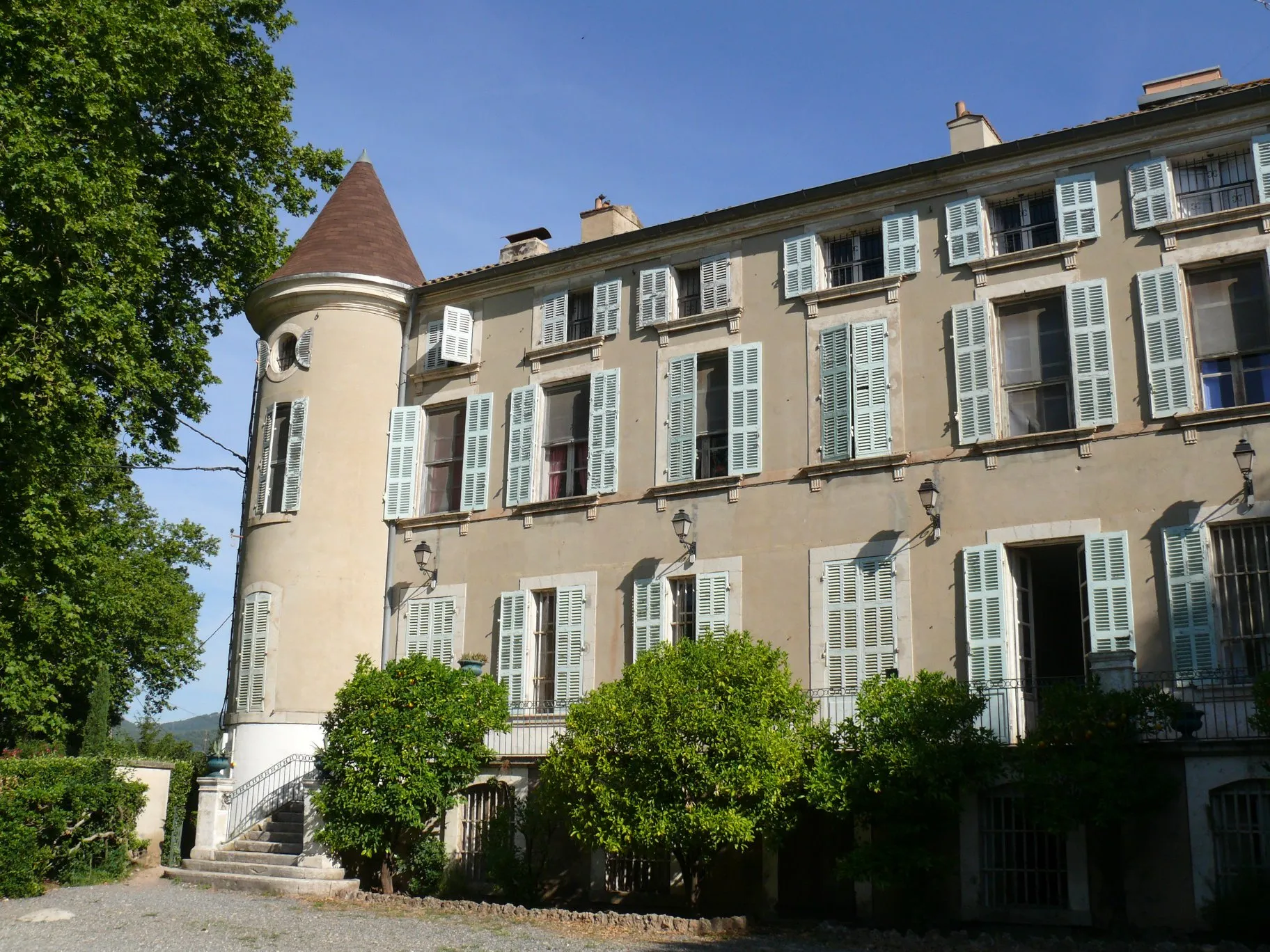
Solliès-ToucasVillageSolliès-Toucas is a charming village with well-preserved medieval architecture.
27 km
27 km
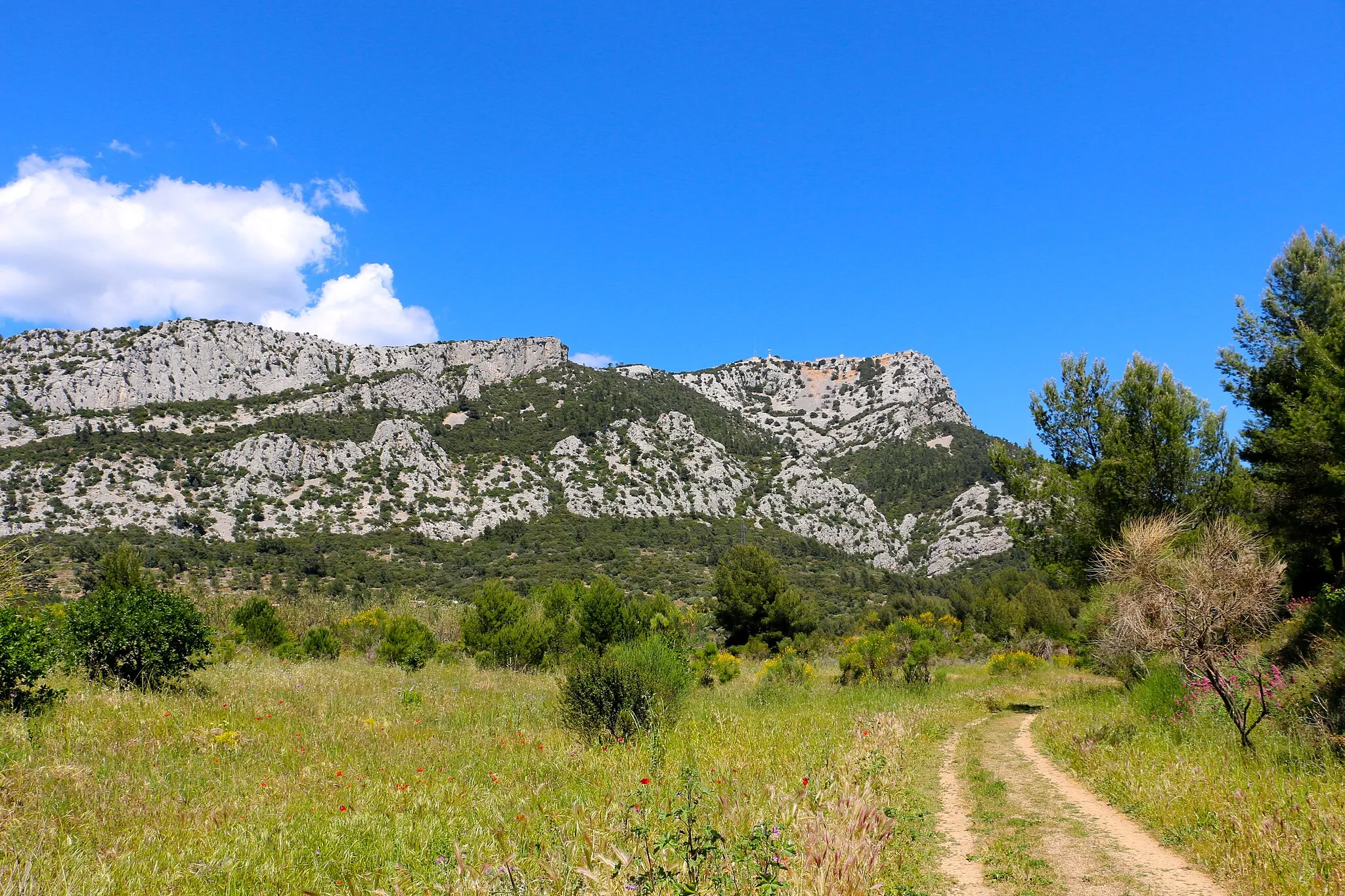
Pey Long385 mPeakPey Long is a scenic area popular for hiking and outdoor activities.
29 km
29 km
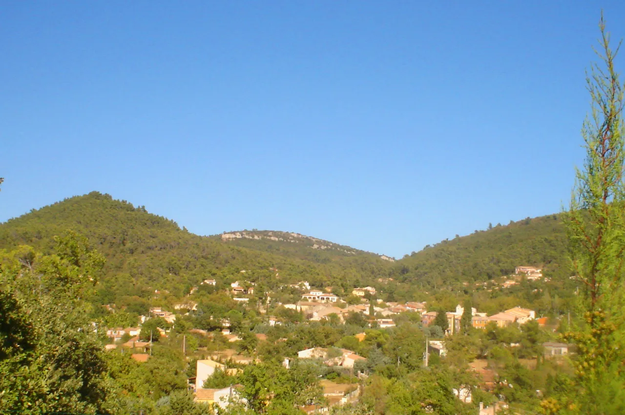
NéoulesVillageNéoules is a picturesque village surrounded by vineyards and olive groves.
37 km
37 km
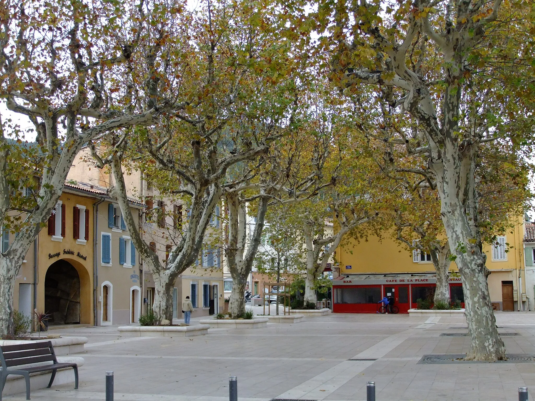
RocbaronVillageRocbaron is a tranquil village with a rich cultural heritage.
50 km
50 km
CuersVillageCuers is a charming town known for its traditional Provençal architecture and vineyards.
66 km
66 km
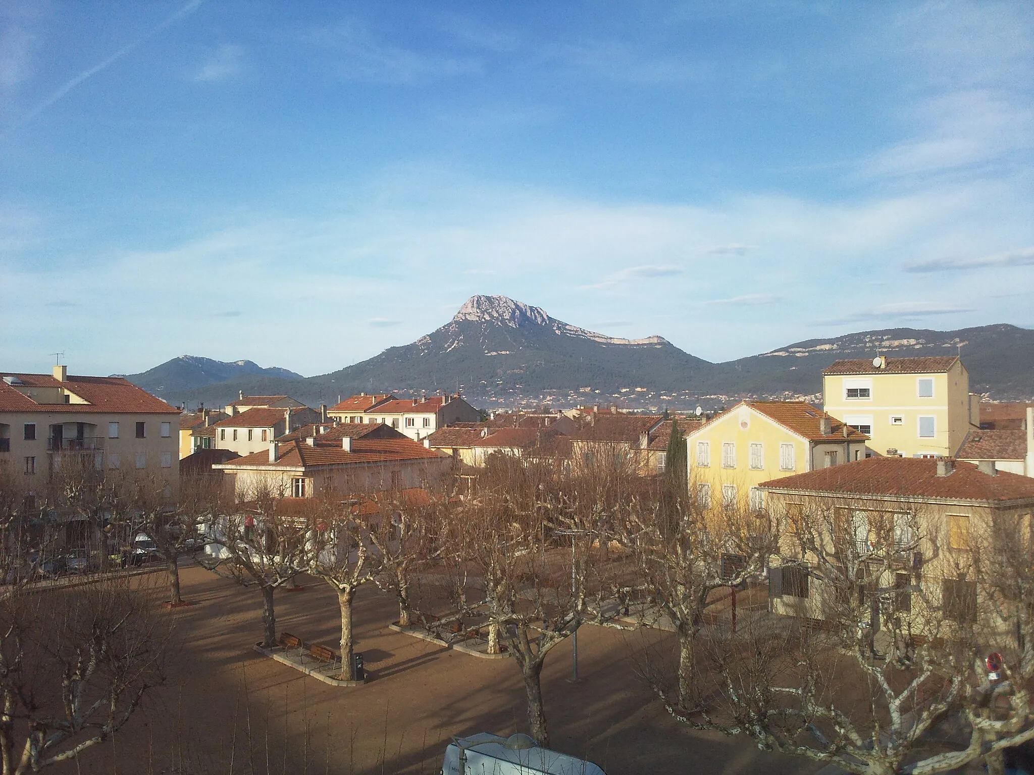
La GardeTownLa Garde is a charming town with historical landmarks and a pleasant atmosphere.
66 km
66 km
Finish: La Garde City centerLa Garde: Thrilling climbs and coastal beauty in the heart of Provence-Alpes-Côte d’Azur.
Cycling routes nearby: