Cycling haven by the coast in Provence-Alpes-Côte d'Azur, France
Cycling routes from La Londe-les-Maures
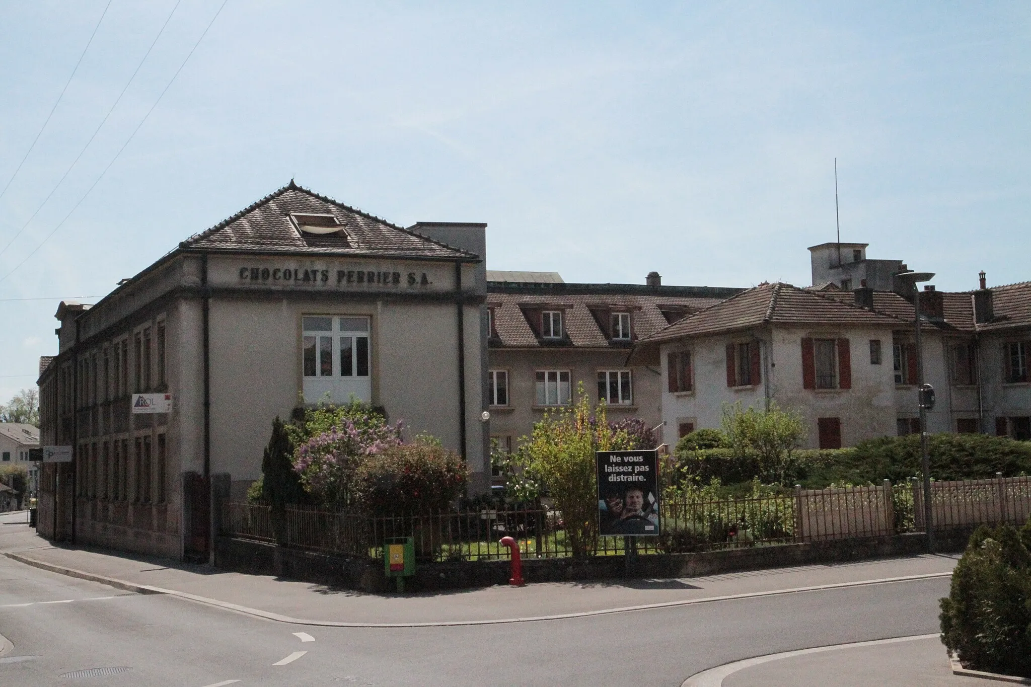
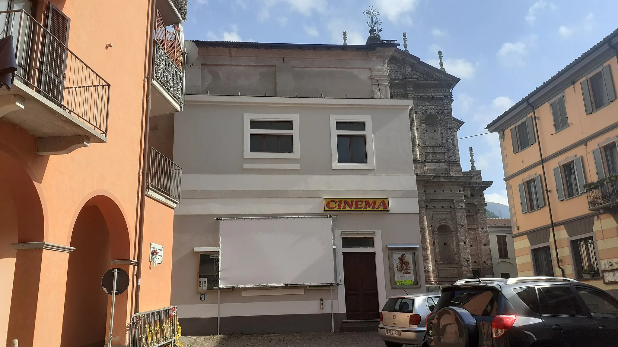
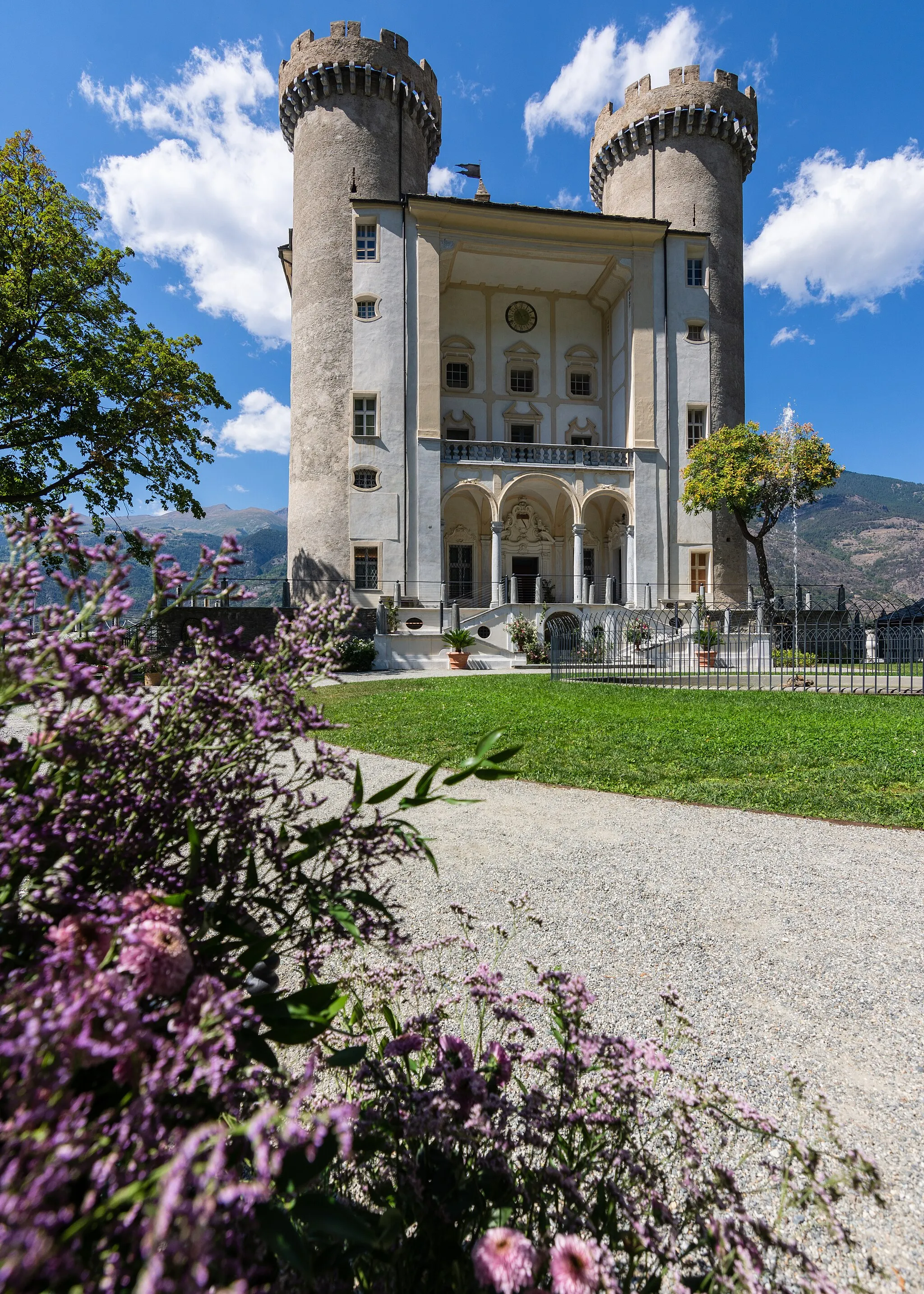
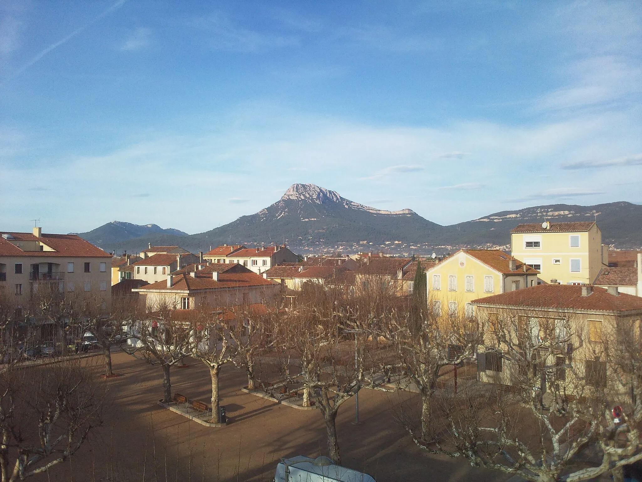
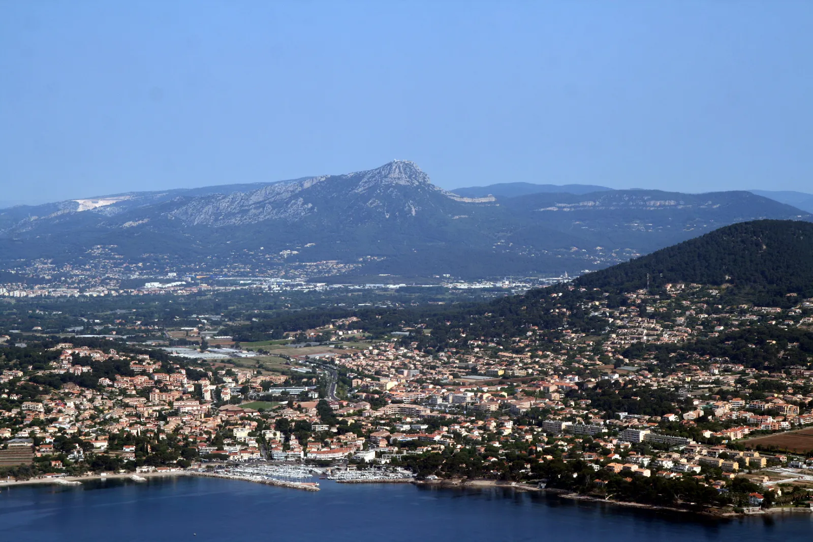
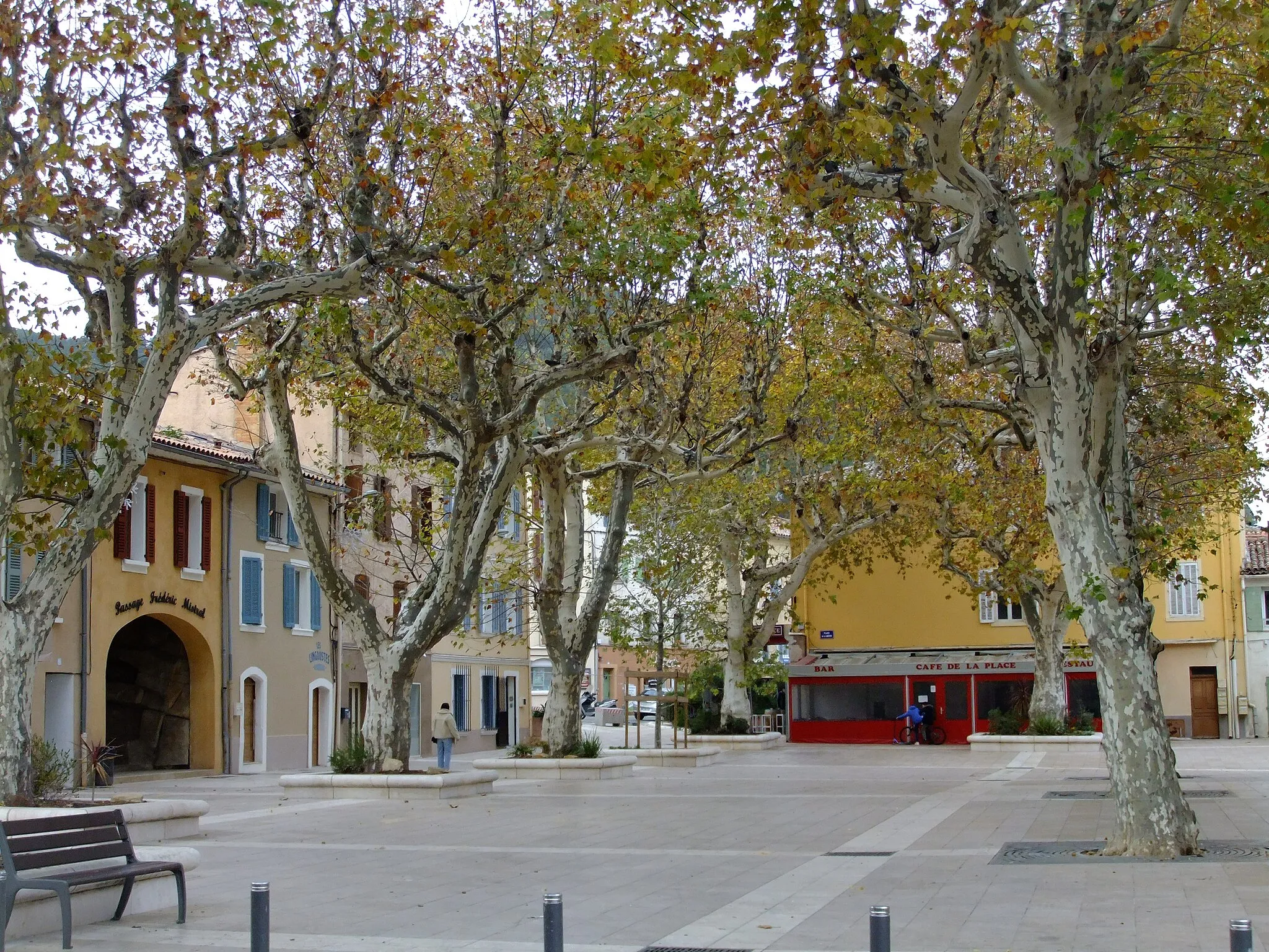
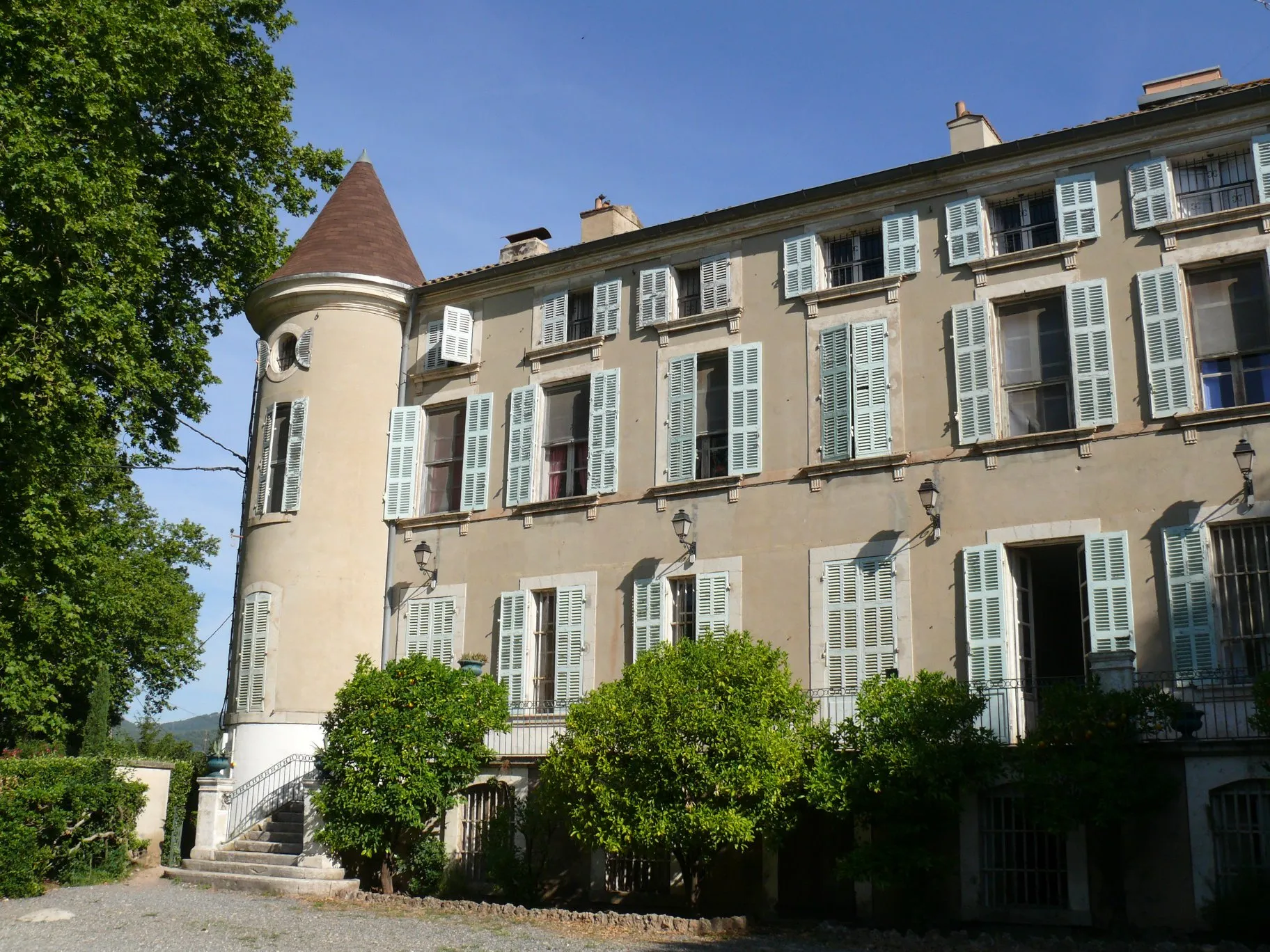
La Londe-les-Maures is a captivating town located in the Provence-Alpes-Côte d'Azur region of France. As a cyclist, you'll appreciate the area's diverse cycling routes and beautiful coastal scenery. La Londe-les-Maures offers flat stretches along the coast, as well as rolling hills and challenging climbs further inland. One of the remarkable spots for cycling enthusiasts is Mount Faron, a famous climb known for its stunning views at the top. The town itself boasts charming cafes, bike shops, and cyclist-friendly accommodations to cater to the needs of riders. Overall, La Londe-les-Maures provides a fantastic cycling experience in a picturesque setting.

Embark on a thrilling gravel adventure through the mountainous landscapes and charming villages near La Londe-les-Maures.
This adventurous gravel route covers a distance of 101 kilometers and climbs a total of 1,652 meters, taking you through picturesque landscapes and quaint villages. Highlights along the way include Montaud, Pignans, Les Mayons, and Col de Babaou. With moderate difficulty, this route offers a taste of the region's natural beauty and cultural heritage, making it suitable for gravel enthusiasts looking for an off-the-beaten-path exploration.
Gorgeous landscapes and cultural heritage
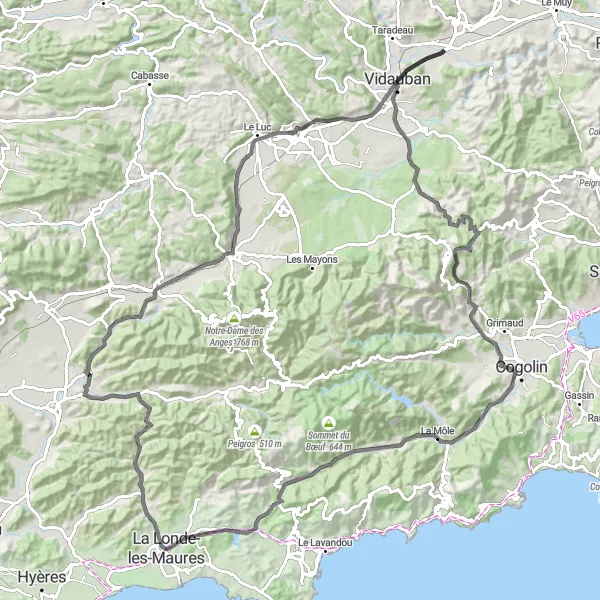
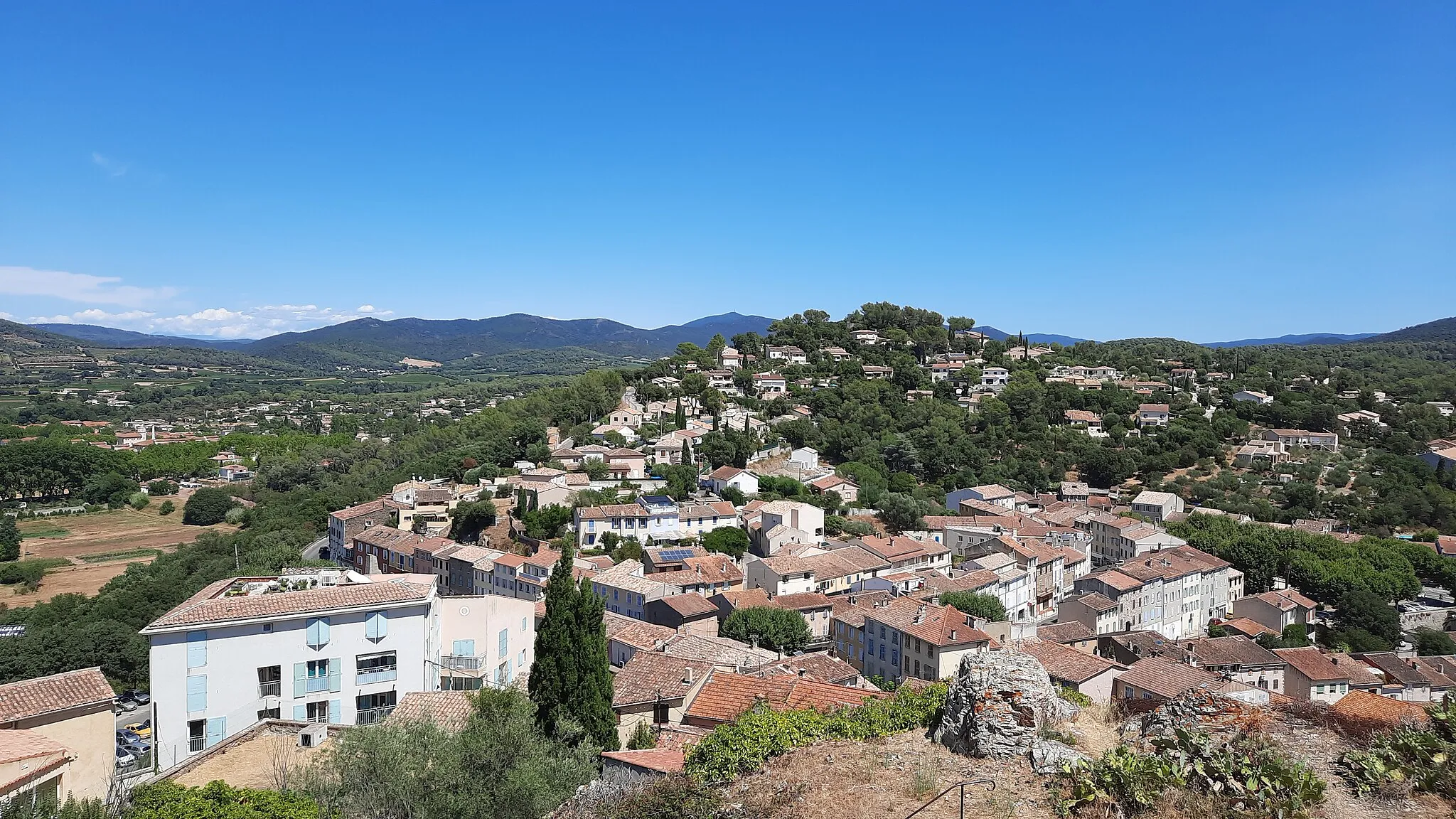
This 123-kilometer road tour takes you through stunning landscapes, charming villages, and cultural heritage sites. With a total ascent of 1,140 meters, it offers a moderate challenge suitable for intermediate cyclists. Highlights along the way include the picturesque village of Gonfaron, the historic Bari du Vieux Cannet, and the beautiful village of Vidauban. Rated as a difficulty level 3, this route provides a scenic and cultural experience, showcasing the diverse beauty of Provence-Alpes-Côte d’Azur.
Exploring the Backroads
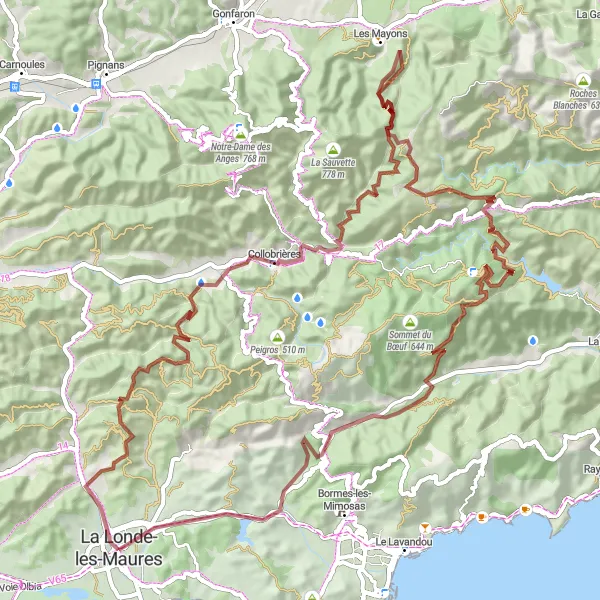
Embark on a gravel adventure through charming villages and scenic landscapes near La Londe-les-Maures.
This gravel route takes you on an 85-kilometer journey through the hidden gems of Provence-Alpes-Côte d'Azur. With an ascent of 2,119 meters, the challenge is balanced by the rewarding views along the way. Highlights include Aire du Merle, Collobrières, and l'Ermitage. Well-suited for gravel enthusiasts seeking a moderate difficulty ride, this route offers a glimpse into the region's natural beauty and cultural heritage.
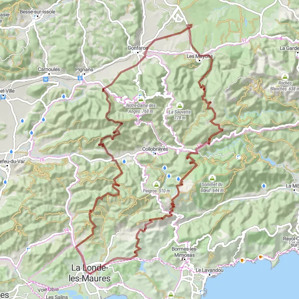
Breathtaking beauty and challenging terrain
This 91-kilometer gravel route takes you through picturesque villages, lush vineyards, and challenging climbs. With a total ascent of 2,138 meters, it's a tough ride, but the rewards are worth it. Highlights along the way include the beautiful Aire du Merle, the historic Castel d'Aou, and the stunning Sommet du Laquina. Rated as a difficulty level 5, this route is suitable for experienced riders only. It offers an epic cycling experience with stunning landscapes and a chance to discover the beauty of Provence-Alpes-Côte d’Azur.
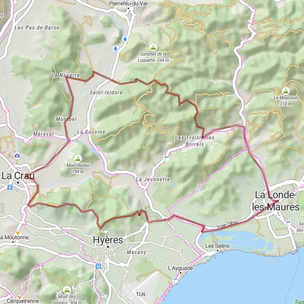
Experience a delightful gravel ride along the stunning coastline near La Londe-les-Maures.
This 44-kilometer gravel route provides a refreshing ride along the breathtaking coastal scenery of La Londe-les-Maures. With moderate ascent of 693 meters, this route is perfect for a shorter but enjoyable ride. Highlights include Rocher du Casteou, La Crau, and Mont-Redon. The route offers a mix of coastal views, rocky cliffs, and peaceful surroundings. Whether you are a beginner or an experienced cyclist, this route is sure to provide a memorable and scenic experience.

Epic climbs and natural beauty
This 79-kilometer road route takes you through breathtaking landscapes, challenging climbs, and picturesque villages. With a total ascent of 1,418 meters, it's a demanding ride suited for experienced cyclists. Highlights along the way include the charming village of Montaud, the tranquil Le Cros de Panau, and the hidden gem of Collobrières. Rated as a difficulty level 4, this route offers epic climbs and rewards with stunning views of the surrounding nature.

Embark on a road cycling adventure through picturesque landscapes and charming villages near La Londe-les-Maures.
This road route explores the lesser-traveled roads of Provence-Alpes-Côte d'Azur, covering a distance of 103 kilometers with an ascent of 1,328 meters. Highlights along the way include Montaud, Peilong, and Collobrières. Ideal for road cyclists seeking a moderate challenge, this route offers a combination of scenic views, cultural landmarks, and quaint villages. La Londe-les-Maures serves as the perfect starting point for this cycling excursion.
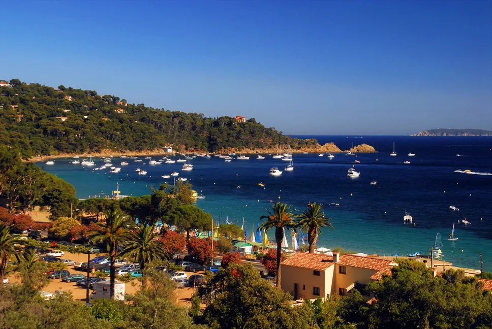
Discover the stunning coastal landscapes of Provence-Alpes-Côte d’Azur on this exhilarating cycling route
Embark on a thrilling cycling adventure along the breathtaking coastline of Provence-Alpes-Côte d’Azur. This route offers a perfect mix of scenic beauty and cultural highlights, providing an unforgettable experience. With a moderate difficulty level, this route is suitable for well-trained amateurs. The epicness of the journey is enhanced by the legendary climbs and famous cycling spots scattered along the way.

Get ready for an exciting gravel ride through picturesque landscapes near La Londe-les-Maures.
This scenic gravel route offers a challenging but rewarding adventure for gravel enthusiasts. You'll climb over 2,100 meters and cover a distance of 94 kilometers, experiencing the untouched beauty of nature along the way. With highlights such as Aire du Merle, Les Quatre Termes, and Valcros, this route promises a unique and unforgettable cycling experience. The difficulty and epicness ratings make it suitable for well-trained amateurs seeking some thrilling off-road riding in Provence-Alpes-Côte d'Azur.

Captivating coastal views and cultural landmarks
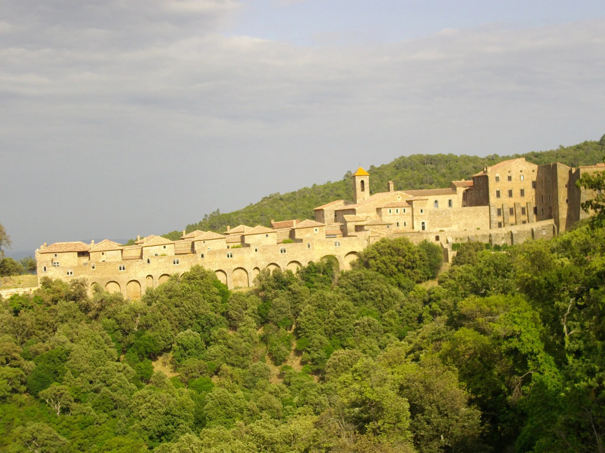
This 124-kilometer road loop takes you along stunning coastal roads, through charming villages, and past cultural landmarks. With a total ascent of 1,044 meters, it offers a moderate challenge for cyclists. Highlights along the way include the coastal town of Hyères, the beautiful Table d'orientation, and the historic Abbey de la Celle. Rated as a difficulty level 3, this route is suitable for cyclists with some experience. It provides a scenic and cultural experience, combining the beauty of the coast with the region's rich history.
Cycling routes nearby:

Nearby regions: