Challenging Road Route to Collobrières and Col du Gratteloup
A road cycling route starting from La Londe-les-Maures
Epic climbs and natural beauty
Map

This 79-kilometer road route takes you through breathtaking landscapes, challenging climbs, and picturesque villages. With a total ascent of 1,418 meters, it's a demanding ride suited for experienced cyclists. Highlights along the way include the charming village of Montaud, the tranquil Le Cros de Panau, and the hidden gem of Collobrières. Rated as a difficulty level 4, this route offers epic climbs and rewards with stunning views of the surrounding nature.
road
79 km
1418 m
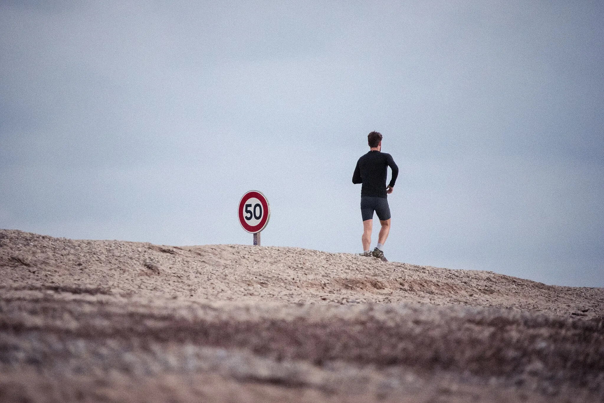
Tough
Route profile
Highlights on the route
0 km
0 km
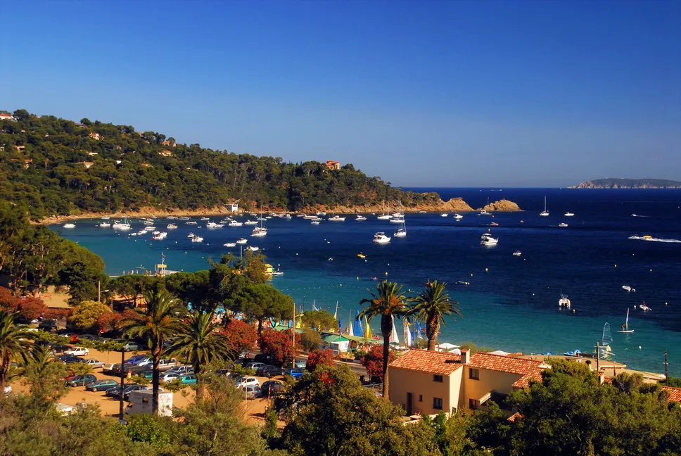
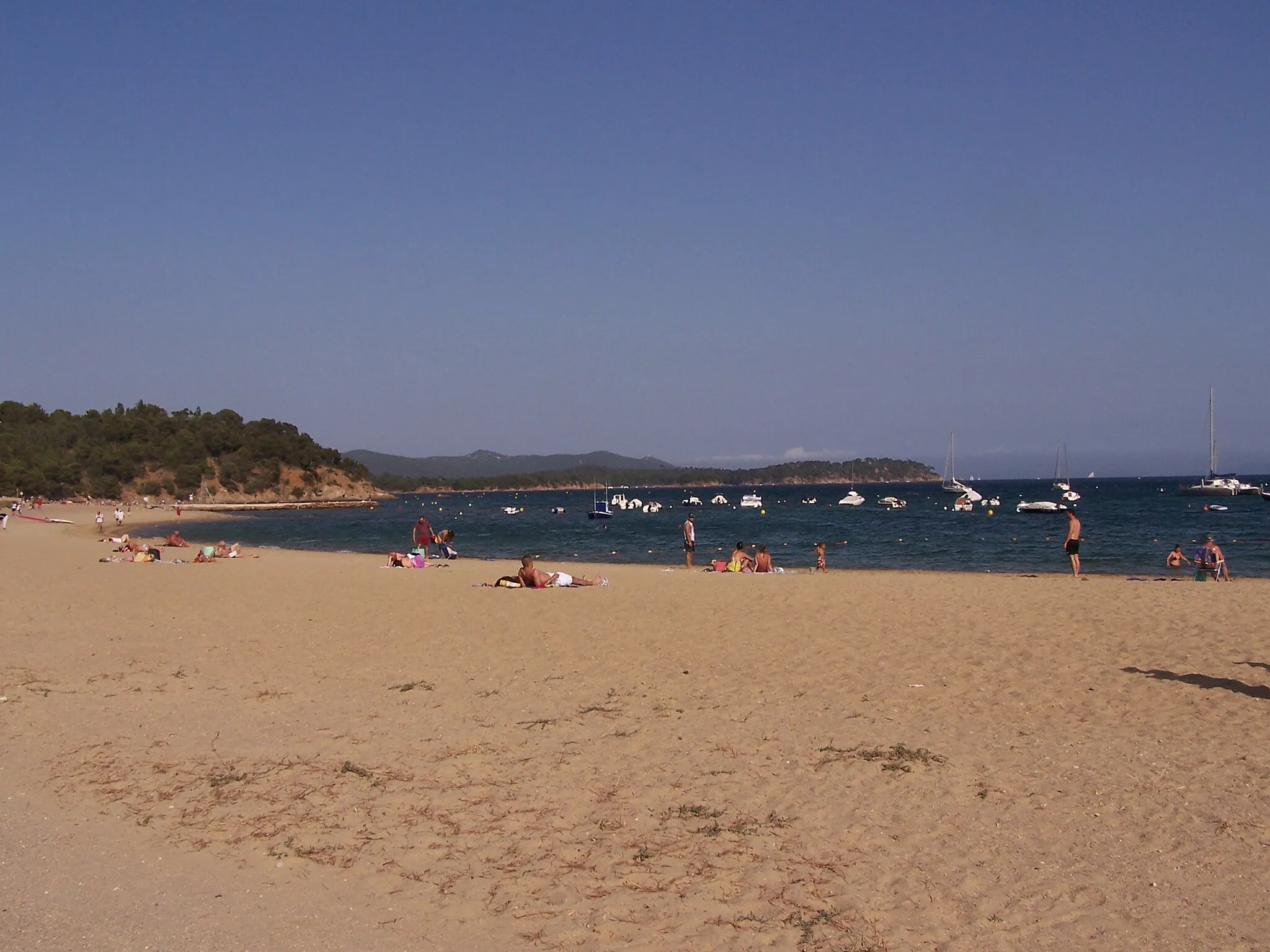
Start: La Londe-les-Maures City centerLa Londe-les-Maures: Cycling haven by the coast in Provence-Alpes-Côte d'Azur, France
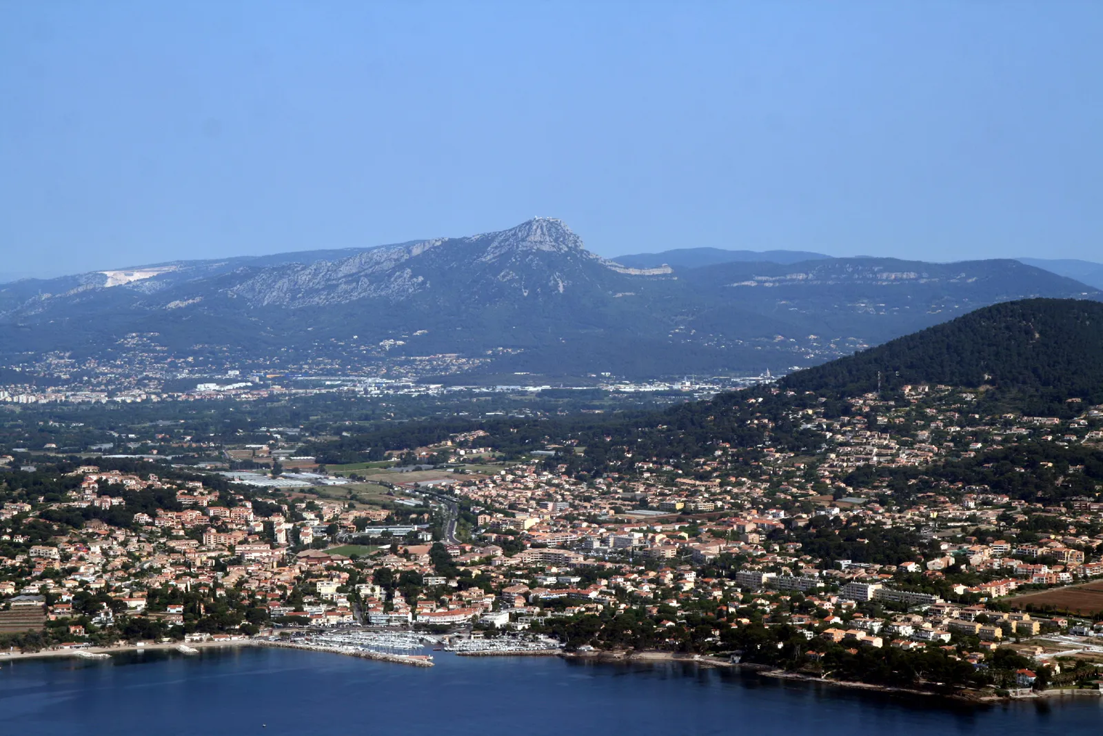
La Londe-les-Maures is a captivating town located in the Provence-Alpes-Côte d'Azur region of France. As a cyclist, you'll appreciate the area's diverse cycling routes and beautiful coastal scenery. La Londe-les-Maures offers flat stretches along the coast, as well as rolling hills and challenging climbs further inland. One of the remarkable spots for cycling enthusiasts is Mount Faron, a famous climb known for its stunning views at the top. The town itself boasts charming cafes, bike shops, and cyclist-friendly accommodations to cater to the needs of riders. Overall, La Londe-les-Maures provides a fantastic cycling experience in a picturesque setting.14 km
14 km
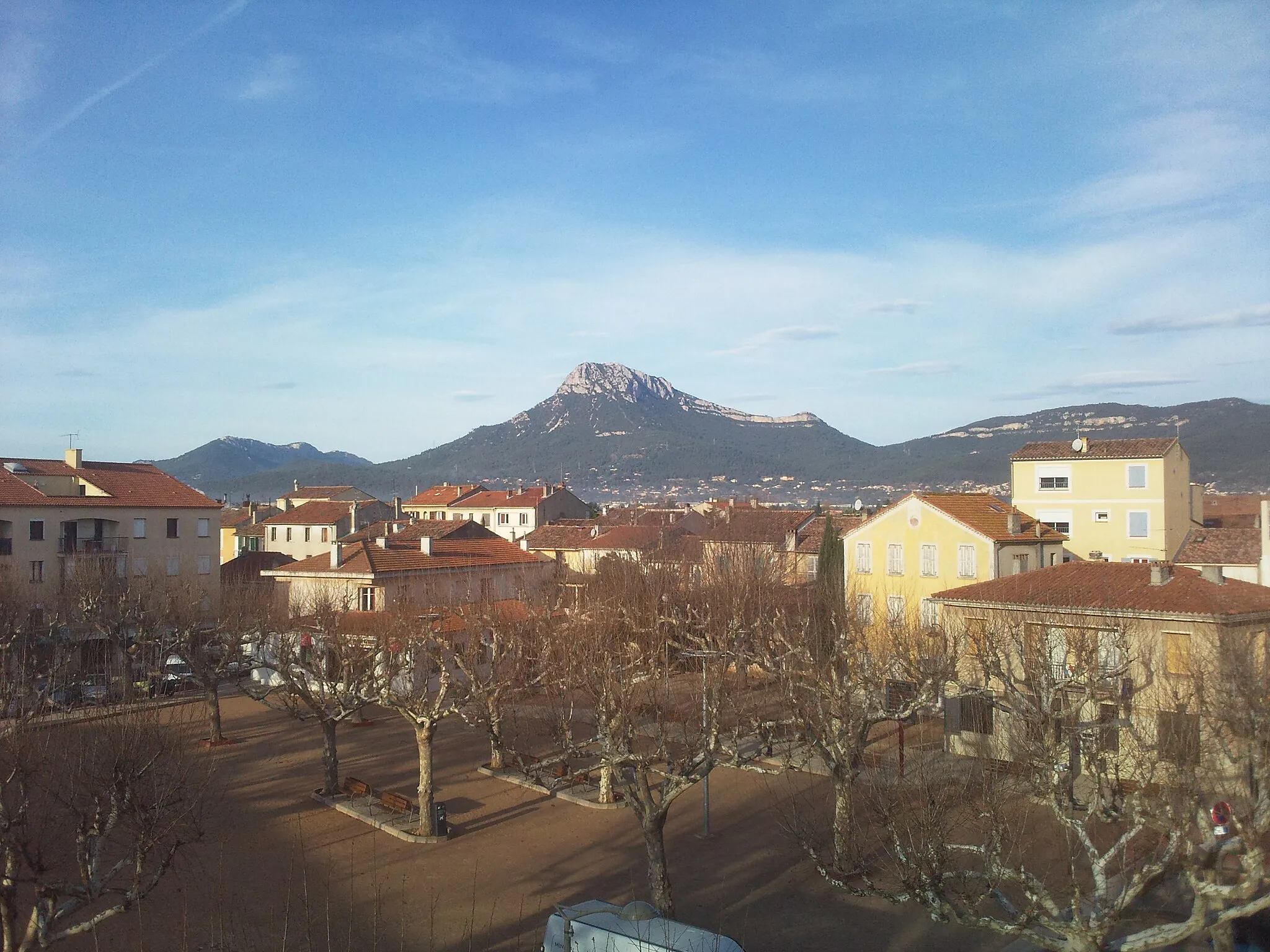
Montaud190 mPeakMontaud, located 14 kilometers into the route, is a charming village surrounded by vineyards. Stop by the local bakery and try some delicious Provençal pastries before continuing your ride.
29 km
29 km
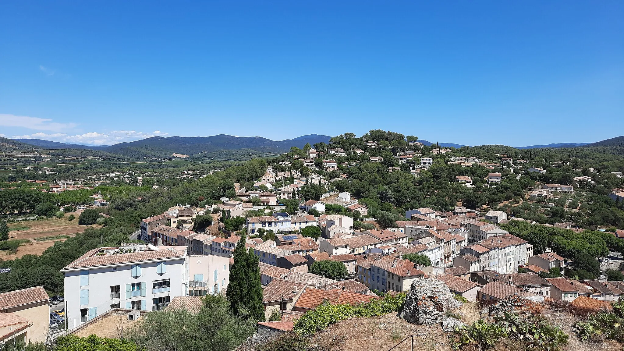
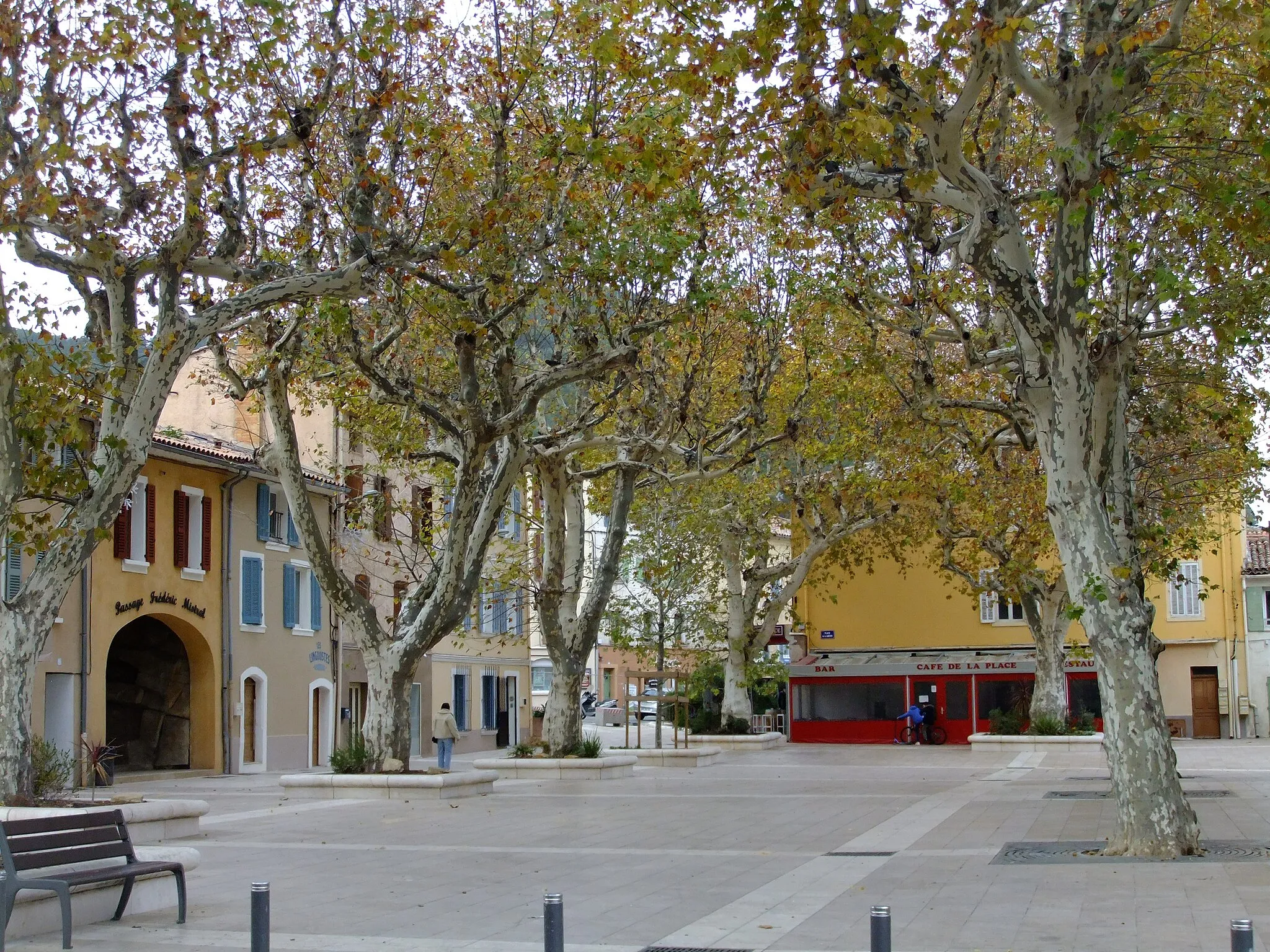
PignansVillagePignans, found at 29 kilometers into the route, is a traditional Provençal village with cobblestone streets and a charming square. It's a great spot for a coffee break.
38 km
38 km
Le Cros de Panau666 mPeakLe Cros de Panau, situated 38 kilometers into the route, offers stunning views of the surrounding forests and a peaceful ambiance. Take a moment to relax and immerse yourself in nature.
51 km
51 km
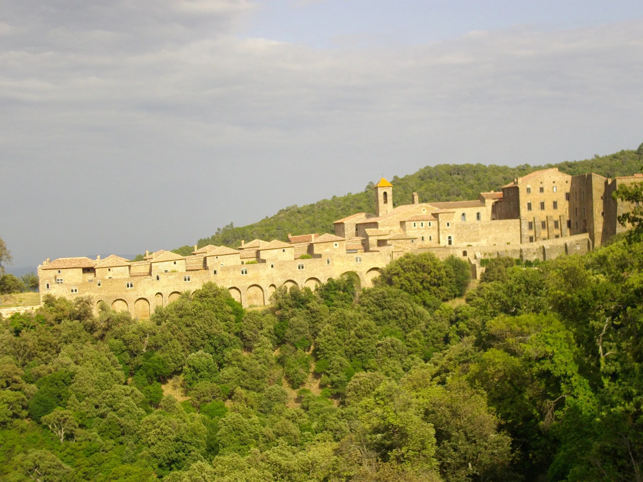
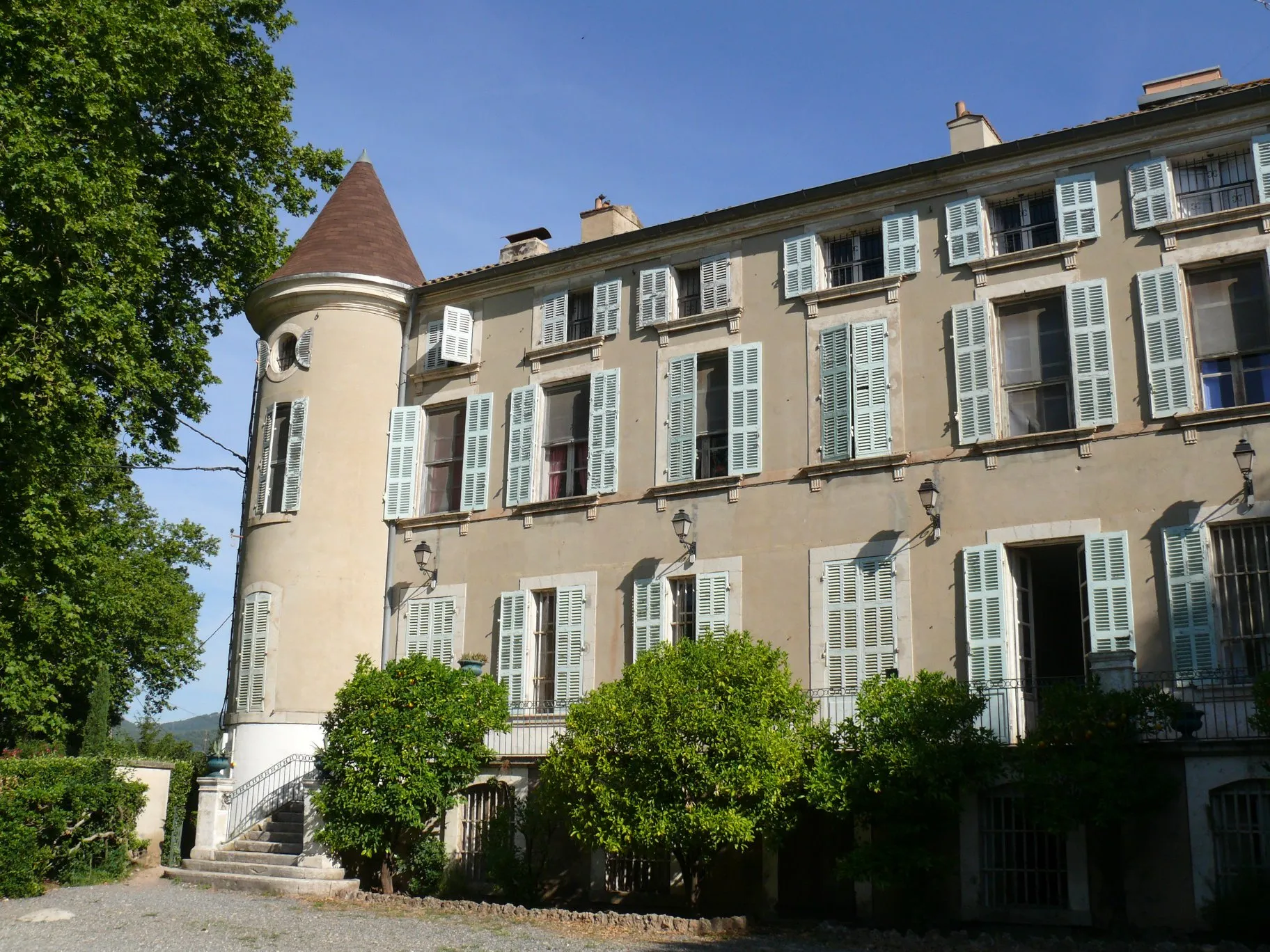
CollobrièresVillageCollobrières, located 51 kilometers into the route, is known as the chestnut capital of the region. Explore its charming streets and enjoy the beautiful scenery before tackling the climb ahead.
60 km
60 km
Col de Babaou414 mMountain PassThe Col de Babaou, found at 60 kilometers into the route, offers a challenging ascent rewarded with panoramic views over the surrounding mountains. Take your time to admire the vista.
69 km
69 km
Col du Gratteloup192 mMountain PassCol du Gratteloup, situated 69 kilometers into the route, is a legendary climb that tests even the most experienced riders. With its stunning vistas, this pass is a destination in itself.
79 km
79 km
La Londe-les-MauresTownLa Londe-les-Maures, the starting and ending point of the route, is a picturesque town with beautiful beaches and a lively atmosphere. Explore this coastal gem before or after your challenging ride.
79 km
79 km
Finish: La Londe-les-Maures City centerLa Londe-les-Maures: Cycling haven by the coast in Provence-Alpes-Côte d'Azur, France
Cycling routes from La Londe-les-Maures:
Gravel Route through Les Mayons and Col de Taillude The Gravel Adventure Gravel Adventure: Mountains and Villages Coastal Delights Roads Less Traveled Exploring the Backroads Picturesque Road Tour through Gonfaron and Vidauban The Coastal Circuit Challenging Road Route to Collobrières and Col du Gratteloup Scenic Road Loop through Hyères and Abbey de la Celle
Cycling routes nearby: