Cycling haven in the heart of Provence.
Cycling routes from La Roquebrussanne
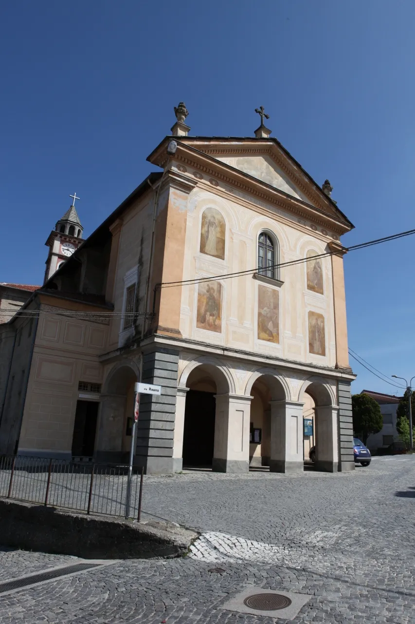
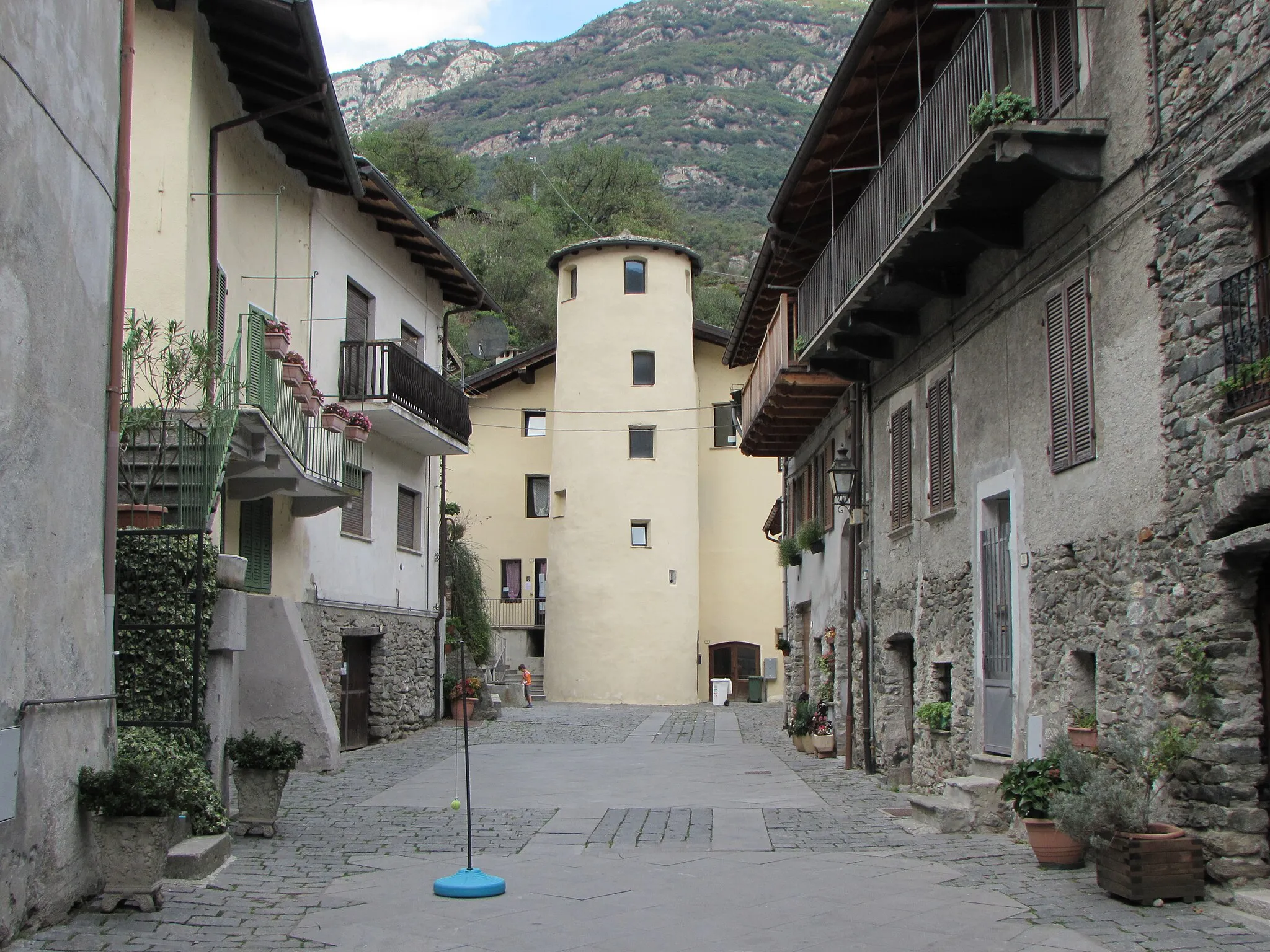
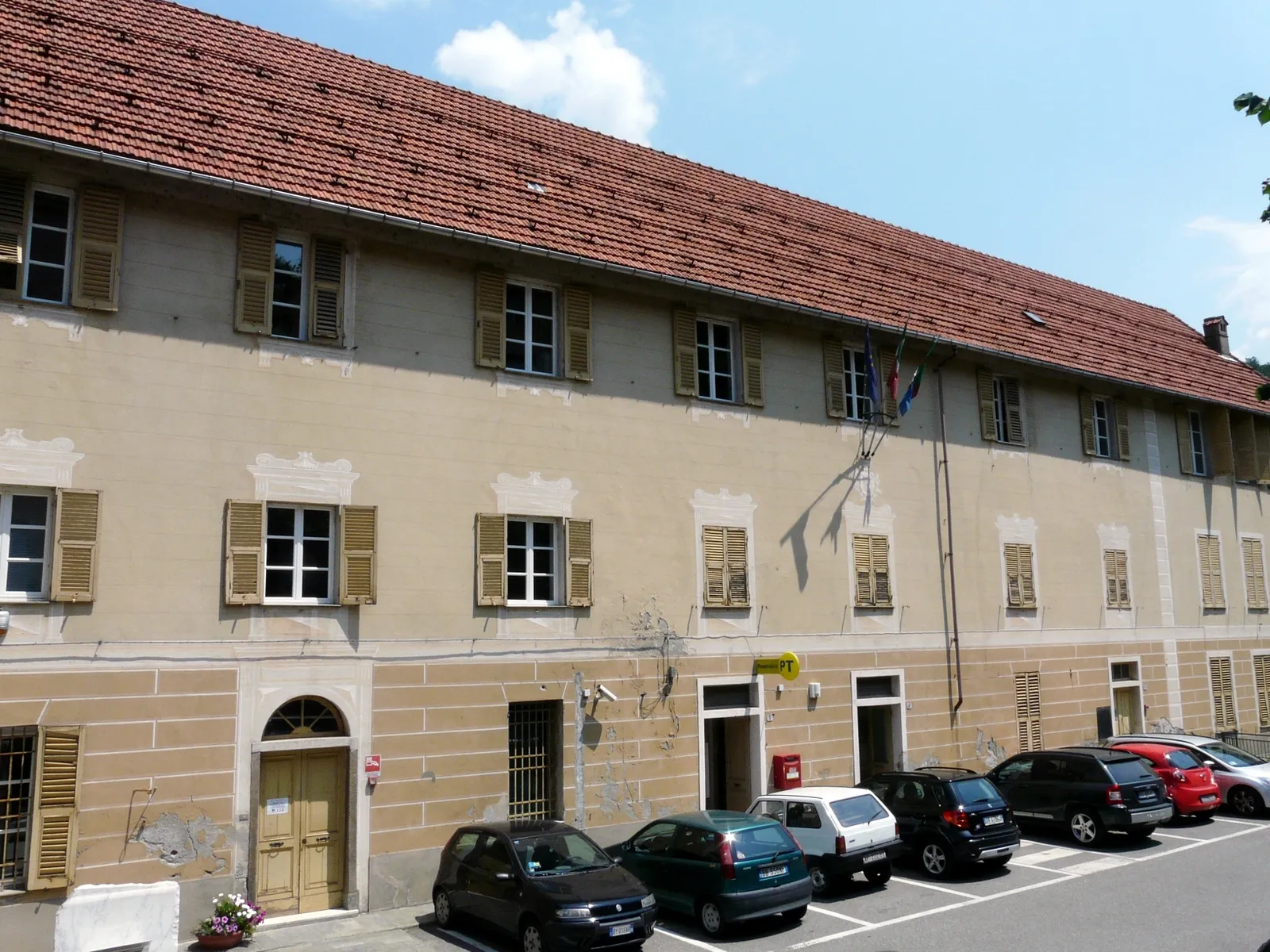
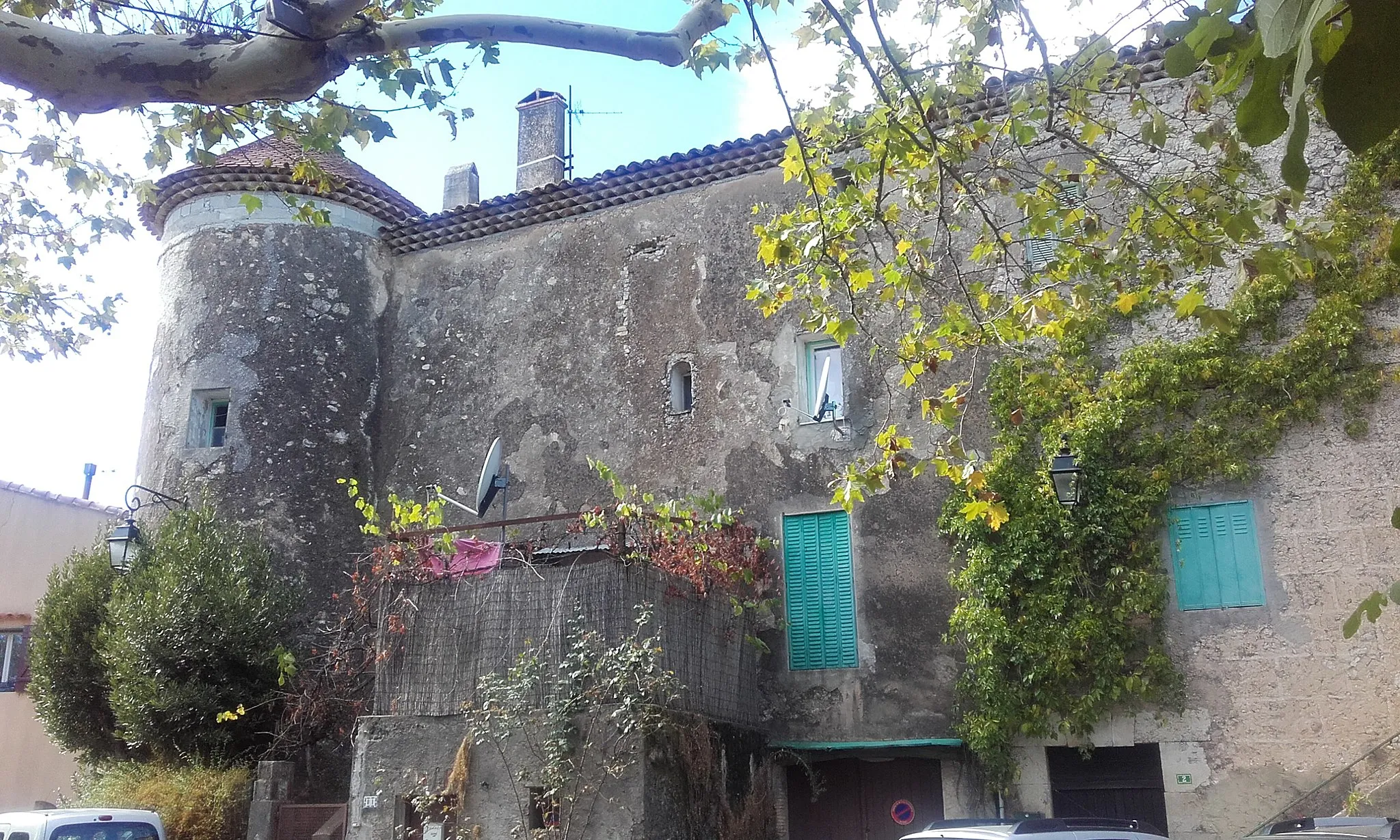
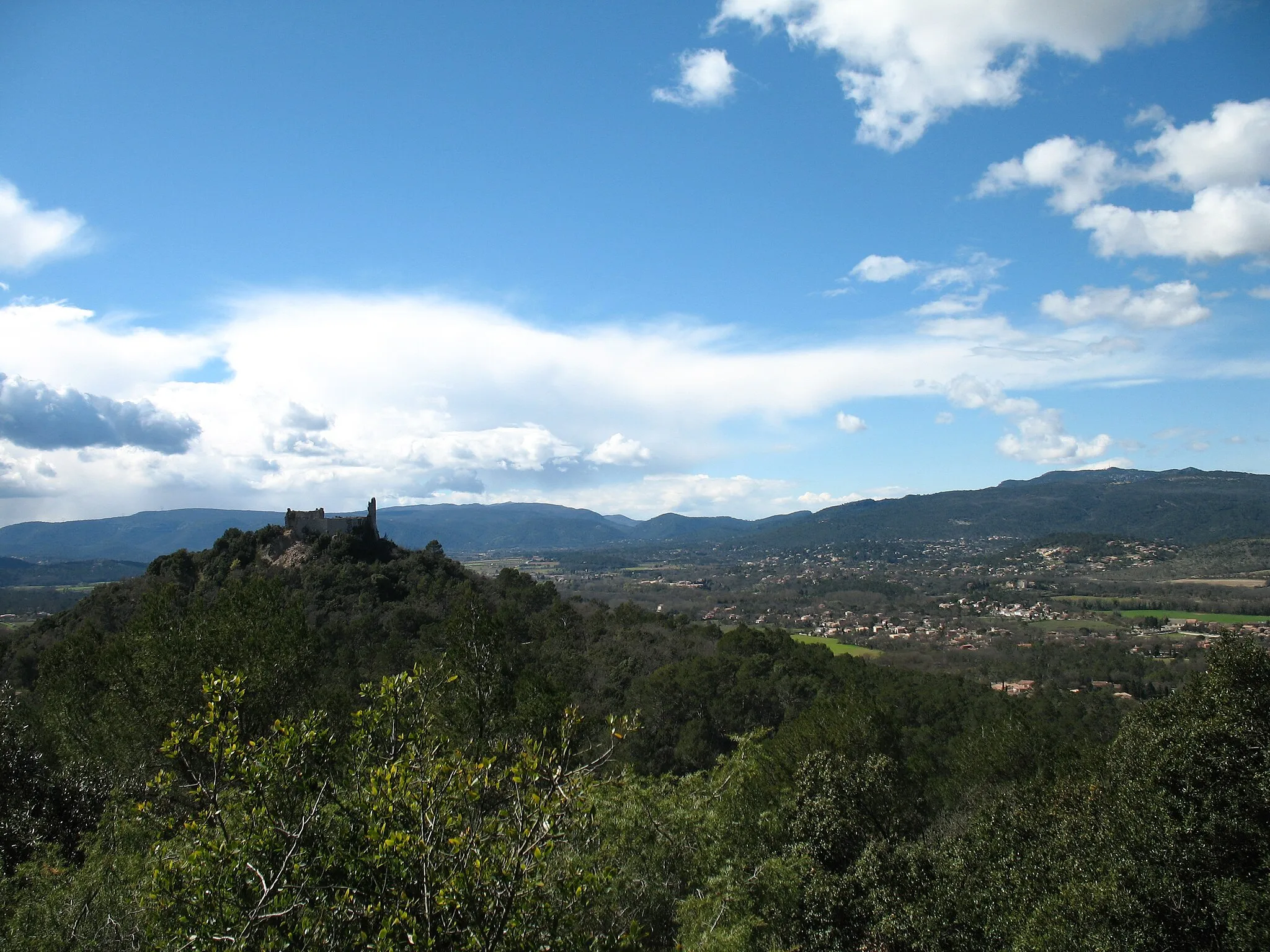
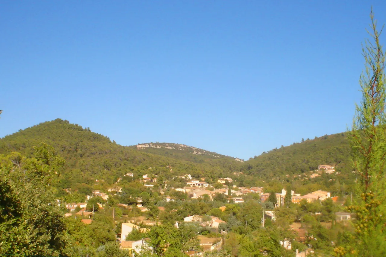
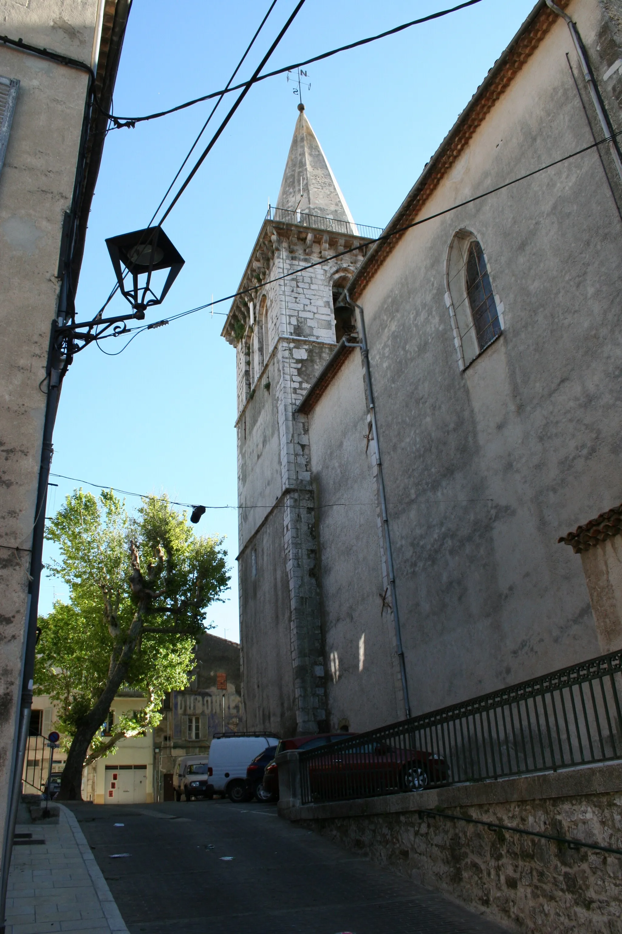
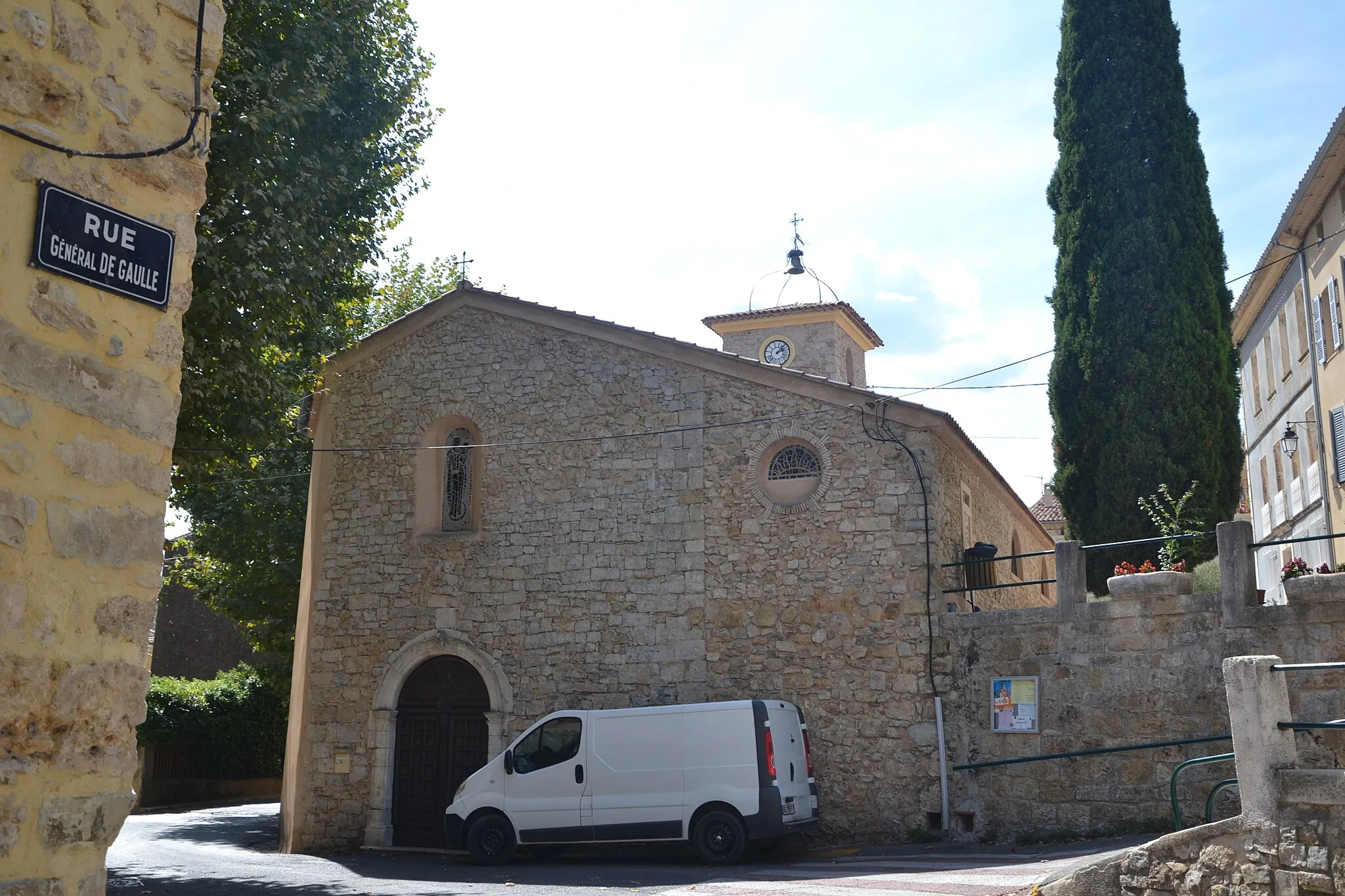
La Roquebrussanne is a small town located in the Provence-Alpes-Côte d’Azur region of France. From a cyclist's point of view, the locality offers a variety of road and gravel cycling routes. The surrounding countryside is picturesque with rolling hills and scenic landscapes, providing a pleasant and enjoyable cycling experience. One notable cycling spot in the area is the Col de l'Espigoulier, a well-known climb often featured in professional races. Overall, La Roquebrussanne is a great destination for cyclists looking to explore the beautiful countryside of Provence.
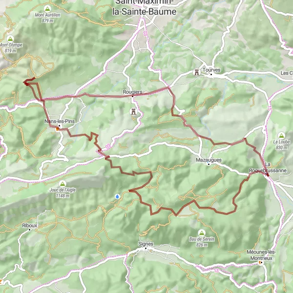
Gravel Challenge
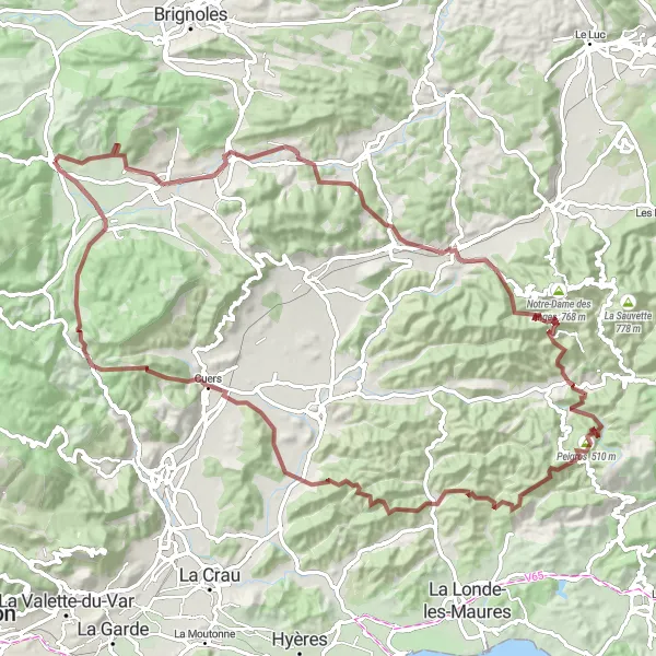
Experience the rugged beauty of the region on this challenging gravel route
This gravel route offers a unique cycling experience, taking you through picturesque villages and stunning natural landscapes in the Provence-Alpes-Côte d’Azur region of France. With a total distance of 100km and an ascent of 2292m, this route is suited for well-trained amateur cyclists looking for a challenging adventure. Prepare to be amazed by the highlights along the way.
The Gravel Adventure
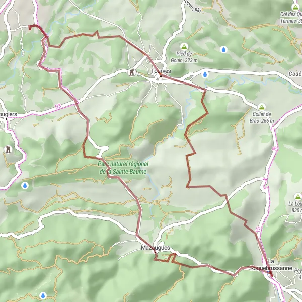
Embark on an exhilarating gravel adventure near La Roquebrussanne
Experience the majestic beauty of Provence-Alpes-Côte d’Azur on this gravel cycling route starting from La Roquebrussanne. Ride through picturesque landscapes, charming villages, and challenging terrains, immersing yourself in the rich history and culture of the region. This 39-kilometer route with a 677-meter ascent is ideal for well-trained amateurs seeking an exciting outdoor adventure.
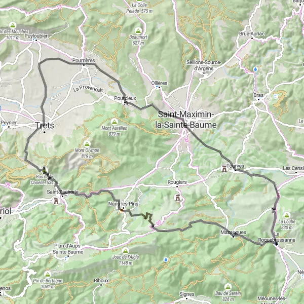
Embark on a scenic road adventure through the stunning landscapes of Provence-Alpes-Côte d’Azur
This road route takes you through some of the most beautiful landscapes in the region, offering breathtaking views and charming villages along the way. With a distance of 88km and an ascent of 1368m, this route is suitable for well-trained amateur cyclists looking for a challenging but rewarding ride. Get ready to discover the highlights of this captivating region.
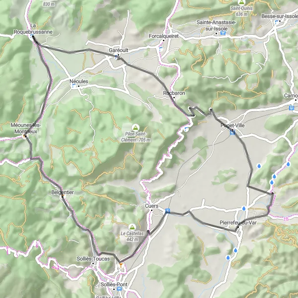
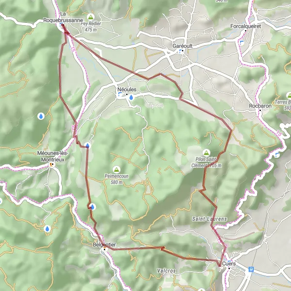
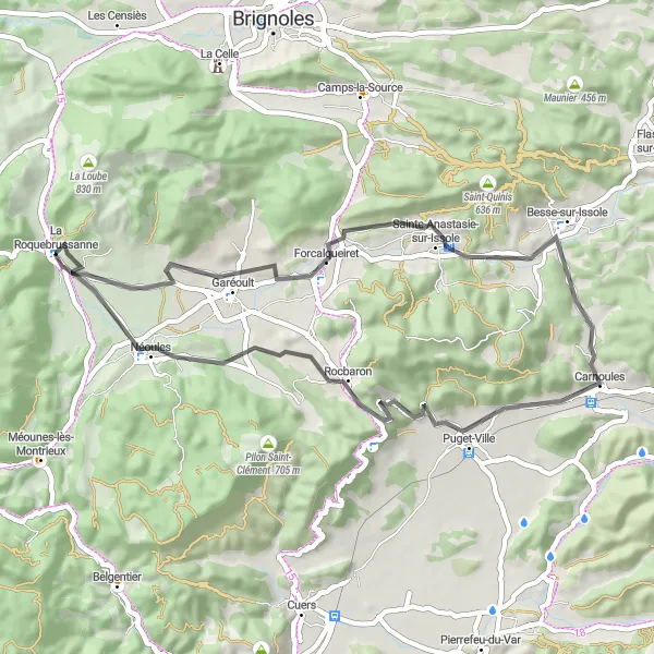
Embark on a road cycling adventure discovering the scenic landscapes of Rocbaron and Belgentier.
This 59km road cycling route starting near La Roquebrussanne is perfect for road cycling enthusiasts seeking a picturesque adventure. With a moderate ascent of 605m, this route is graded as a level 3 difficulty, suitable for well-trained amateurs. The overall epicness of this ride rates a 3, promising beautiful natural landscapes, charming villages, and smooth roads. Highlights along the route include Rocbaron, Théméré, Pierrefeu-du-Var, and Belgentier. These villages offer a taste of Provencal charm and provide opportunities to refuel and explore their historic streets. Overall, this road cycling adventure is a must for riders looking to experience the stunning beauty of Provence on two wheels.
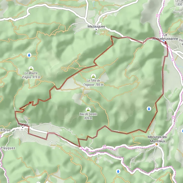
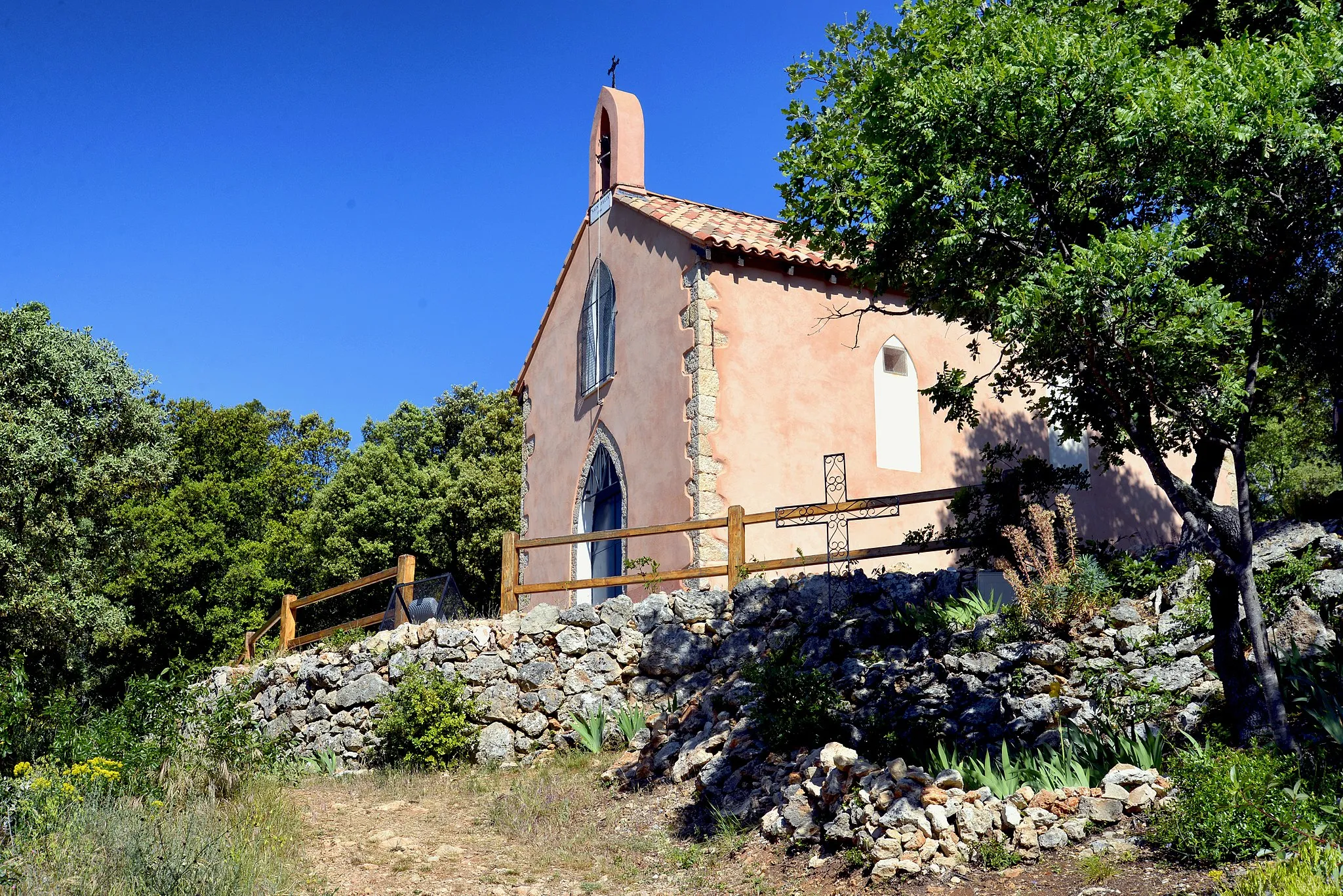
Enjoy a scenic gravel ride exploring La Tête de l'Agasse and the charming village of Signes.
This picturesque 35km gravel route starting near La Roquebrussanne takes riders through stunning landscapes and charming villages. With an ascent of 723m, this route is graded as a level 3 difficulty, suitable for well-trained amateurs. The overall epicness of this route rates a 3, offering beautiful natural scenery and the opportunity to disadventurous the region's historic villages. Highlights include La Tête de l'Agasse, with its panoramic views, and Signes, a village known for its traditional architecture. This route is perfect for riders looking for a scenic and enjoyable gravel ride in the Provencal countryside.
Var Valley Loop
Ride through the stunning valleys of Var River
The Var Valley Loop is a scenic cycling route that takes you through the beautiful valleys of the Var River. With a total distance of 90 kilometers and an elevation gain of 1331 meters, this route offers a challenging yet rewarding experience for well-trained amateur cyclists. The difficulty level is rated 3 out of 5, making it suitable for intermediate riders. The epicness rating is 3 out of 5.
Experience the thrill of gravel riding on this shorter but adventurous route
This gravel route is perfect for those looking for a shorter but thrilling cycling experience. With a total distance of 38km and an ascent of 755m, this route offers a mix of challenging climbs and scenic descents. Enjoy the highlights along the way and soak in the natural beauty of the Provence-Alpes-Côte d’Azur region.
Discover the beauty of the Provence-Alpes-Côte d’Azur countryside on this scenic road route
This road route is a perfect way to explore the stunning countryside of the Provence-Alpes-Côte d’Azur region. With a distance of 49km and an ascent of 511m, this route offers a mix of gentle slopes and flat stretches, allowing you to enjoy the picturesque landscapes at a leisurely pace. Discover the highlights along the way and immerse yourself in the charm of the countryside.
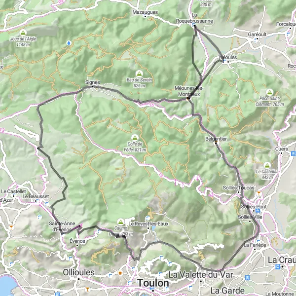
Embark on an epic gravel adventure challenging climbs up to Le Mourre d'Agnis and Montmorin.
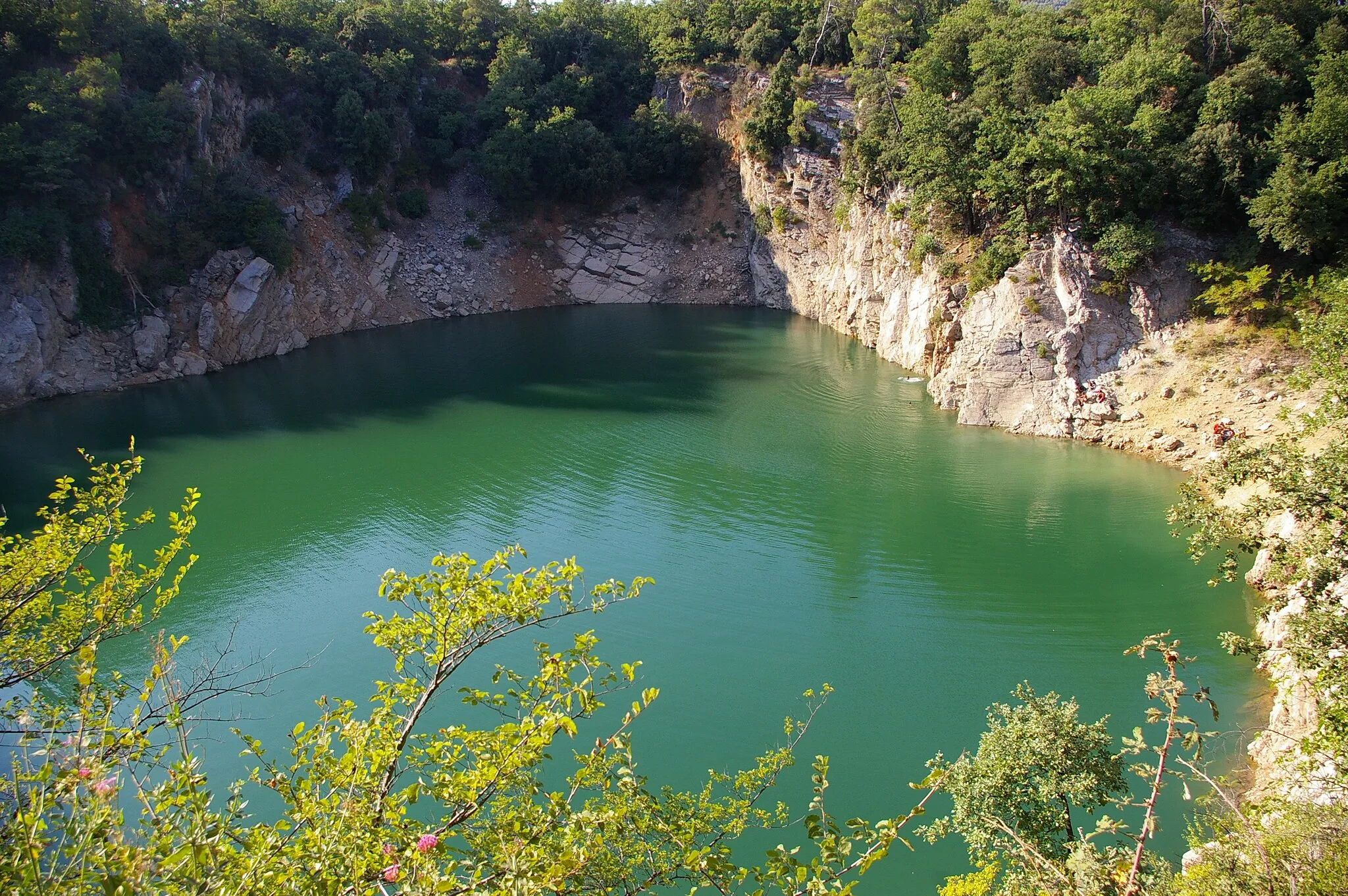
For more experienced gravel riders seeking a challenge, this 65km route starting near La Roquebrussanne will take you through picturesque landscapes and difficult terrain. With an ascent of 1230m, this route is graded as a level 4 difficulty, suitable for well-trained amateurs. The epicness of the ride rates a 4, promising breathtaking views and an exhilarating experience. Highlights include the famed Le Mourre d'Agnis, Montmorin, and Sauts du Cabri. These scenic spots provide opportunities to capture memorable photos and appreciate the natural beauty of the region.
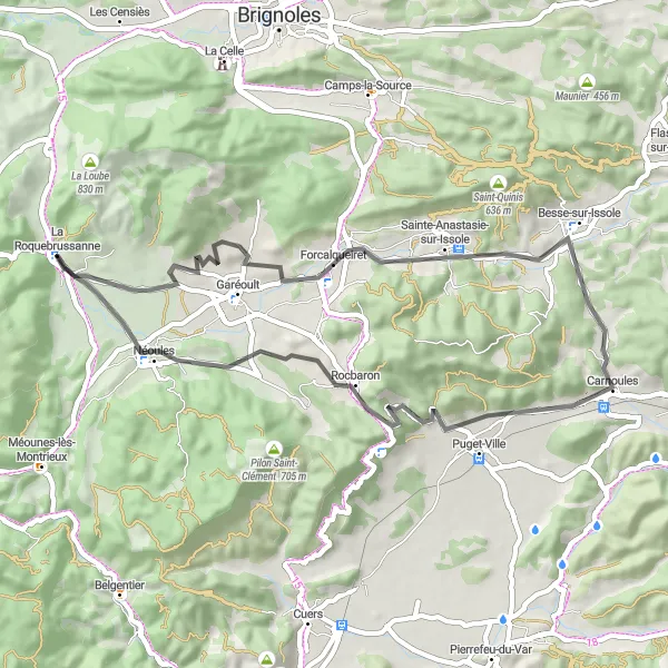
Travel back in time as you cycle through historic villages and picturesque landscapes
This road route takes you on a journey through history, passing by charming villages and ancient landmarks. With a distance of 49km and an ascent of 477m, this route is perfect for those looking for a leisurely ride combined with cultural exploration. Discover the highlights along the way and immerse yourself in the rich history of the region.
Cycling routes nearby:


Nearby regions: